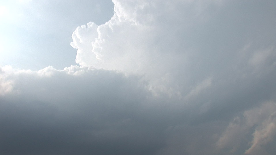
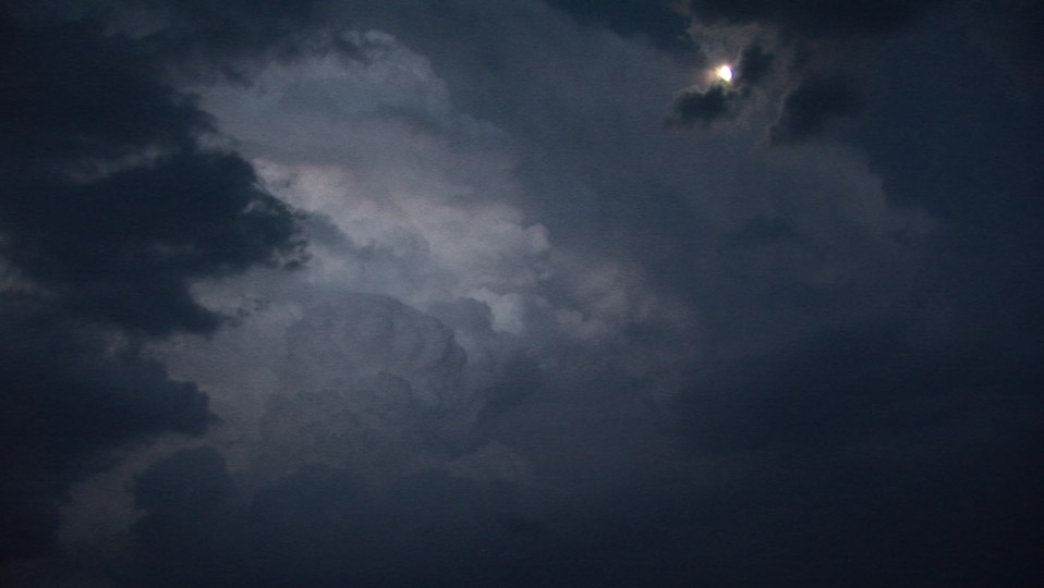
First LP storm initiated near Breckenridge but was short-lived.
I had almost considered blowing off the risk in north Texas in favor of some tornado chances much farther east, but those opportunities never materialized, and north Texas was just too close anyway. By late morning, it was apparent that the area to our east (we started the day in Lubbock, TX) would have the best chance of chase-able storms.
Around 5 PM or so, an updraft appeared, which featured some nice, quasi-laminar inflow bands even before this updraft became a storm. When we passed through Breckenridge, this LP-type cell was hammering the town with cloud-to-ground bolts. As soon as I told Bill to start filming this storm, however (really, within about 15-30 seconds of when I said this), the CGs abruptly stopped. We found a spot just east of town and observed the storm rapidly dissipate. With the surprising demise of our storm, which we thought bore promise, we turned our eyes back westward at some additional cumulus congestus between Albany and Breckenridge. It wasn't long before these updrafts congealed into a single storm on the southwest side of Breckenridge. We stopped and waited for the storm to organize and start rotating, which it soon did, and we chased this new storm on its southwestern flank, which ended up being the best viewing point due to the southeastward movement of the storm, and there was some very large hail to the southeast and east of the updraft.
We stair-stepped southeastward through Necessity, TX, where we observed a mesocyclone occlusion (somewhat eroded cloud base on the northwestern flank of the storm) that produced some rapidly rotating rain curtains in a field just to our northeast. That was as close to a tornado as we saw this day. Thereafter, we did not see much of any great interest. Our main objective was to stay out of the hail, which ended up destroying at least one chaser's vehicle. We let the storm go as it crossed I-20 east of Ranger, TX.
First LP storm initiated near Breckenridge but was short-lived.
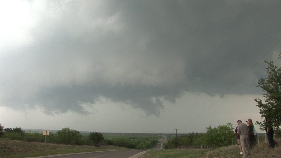
Looking east toward the southern limits of Breckenridge. Storm is starting to rotate.
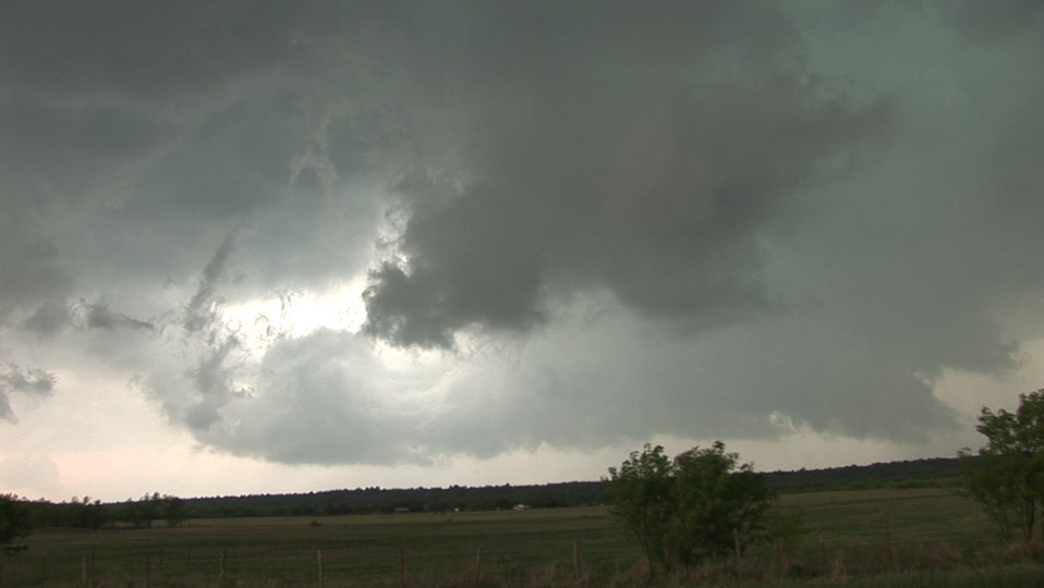
Near Necessity, TX. Rear flank of storm has rotation but not much updraft and not well-organized.
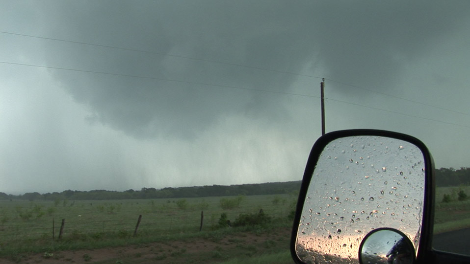
This was the best attempt at tornadogenesis near Necessity, TX. The rain curtains rotated rapidly with
this feature, but it did not become a tornado.
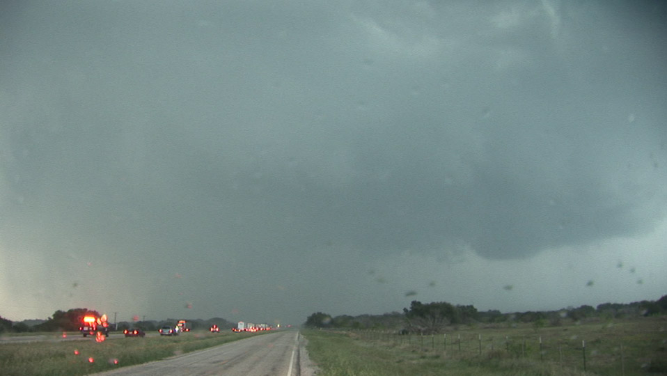
Storm crosses I-20 east of Ranger, TX, producing baseball size hail.
Updraft of the storm viewed on TX 16 south of Strawn.