July 6, 2020 Tornado
Wyoming (western Black Hills)
For all the frustration of the previous day, this day provided more in the way of rewards. It looked like the best storms would develop in southeastern Montana and move toward the northern side of the Black Hills. Wind profiles for this day and the next somewhat reminded me of a couple high-end tornado events moving through this same region. There were strong southeasterly winds about 1 km above ground underneath southwesterlies farther aloft. I was hoping this would be a decent tornado day, but as the day approached, the wind field looked weaker and the moisture not quite as plentiful. Nevertheless, the shear looked sufficient for supercells, so we hopefully would see better storm structure than we had yesterday.
My target for initiation was Broadus, Montana, so we drove there and waited for things to happen. It may have been a bit preemptive to eat at a steak place before seeing a tornado, but the Powder River Stockman's Club was the only place in town. It didn't seem long before storms developed. I didn't write down what I was thinking this day, and we were in the same general area the next day as well, so I had things a bit mixed up, perhaps. Google Maps shows us going back and forth a bit, so indeed we must have done that. I may not have been too certain about which storm to target at first. There were at least a couple to choose from, and they may have taken a while to get going. Eventually, I committed to one to the southeast.
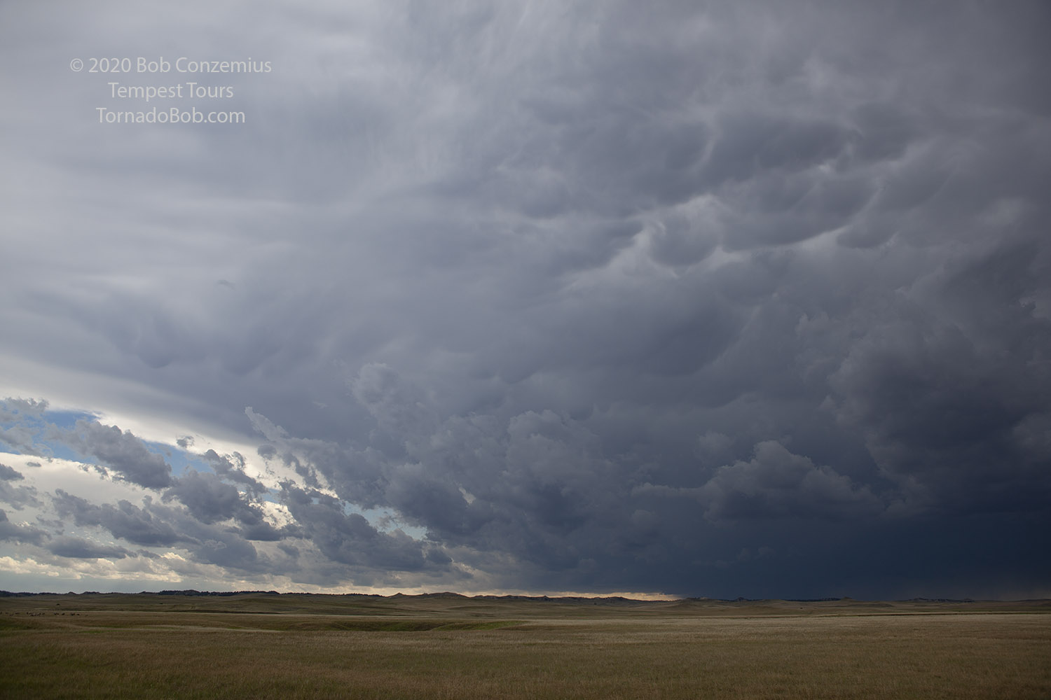 |
| Storm to the southwest of Hammond, Montana. |
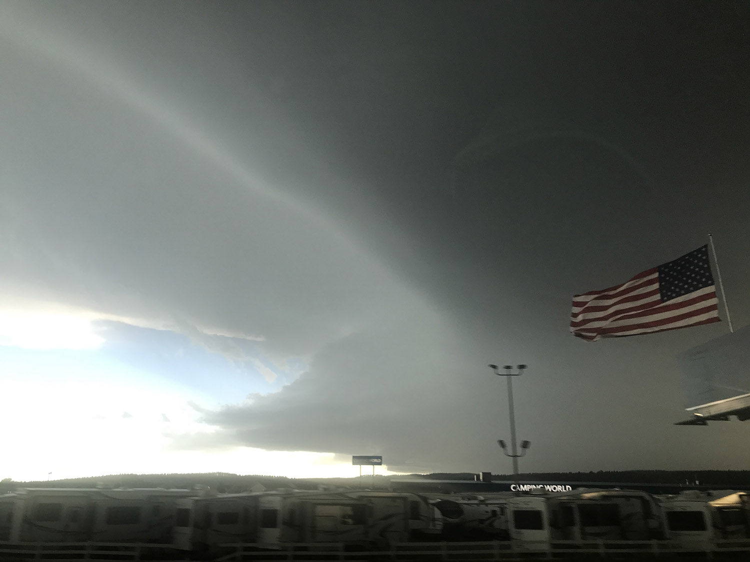
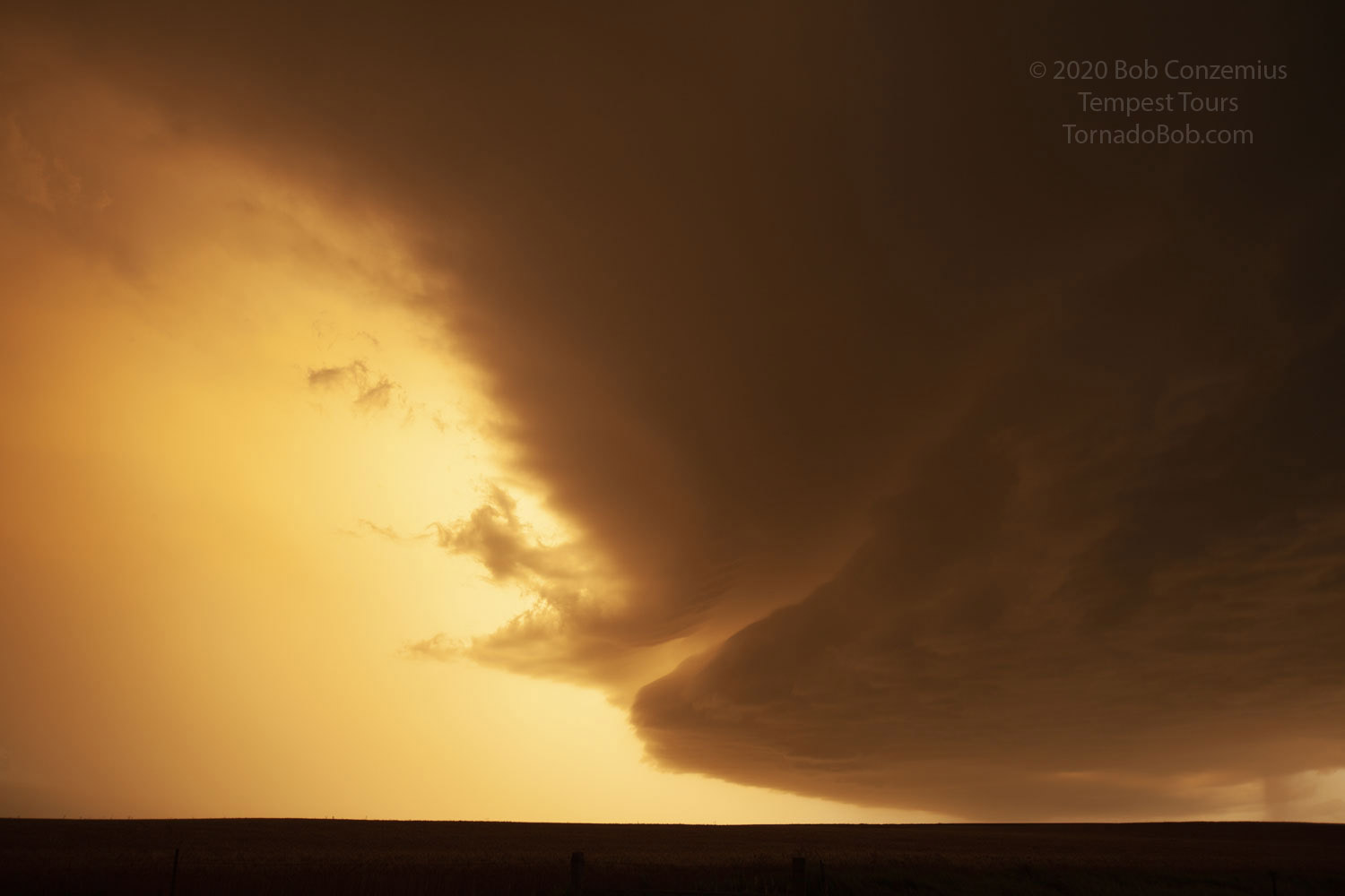
From our perspective, the storms were on the boundary between linear and supercellular. They did not look spectacular. At least we had a road that paralleled their motion. We had a storm that seemed a bit dominant, but it was also headed for the Black Hills, so we probably would not have too long to enjoy it. The road network would get worse, and the hills and trees would obscure our view. It became clear that we would have to drop into the Black Hills either way, so I opted to get a bit ahead and take Highway 112 south at Alzada.
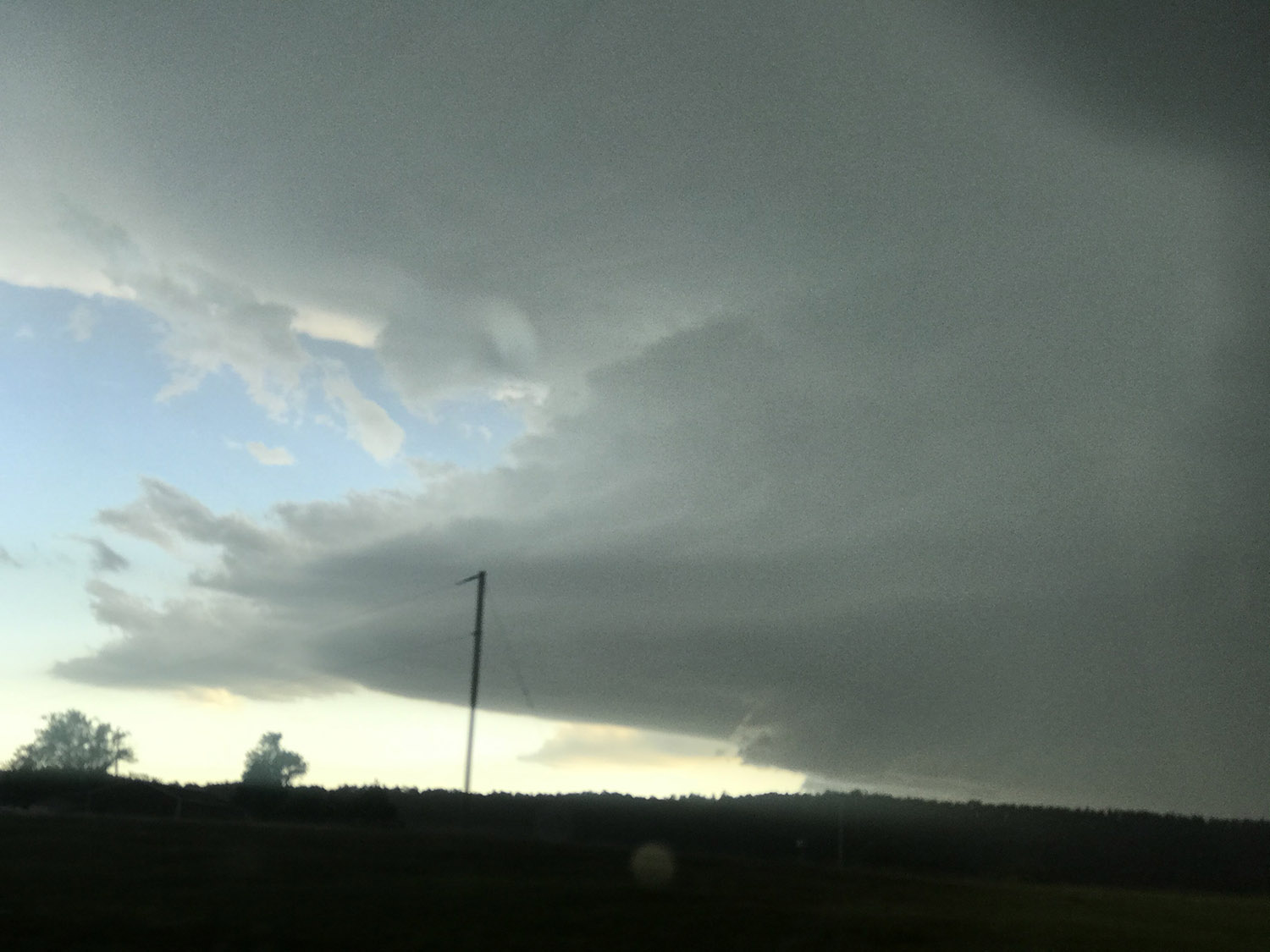
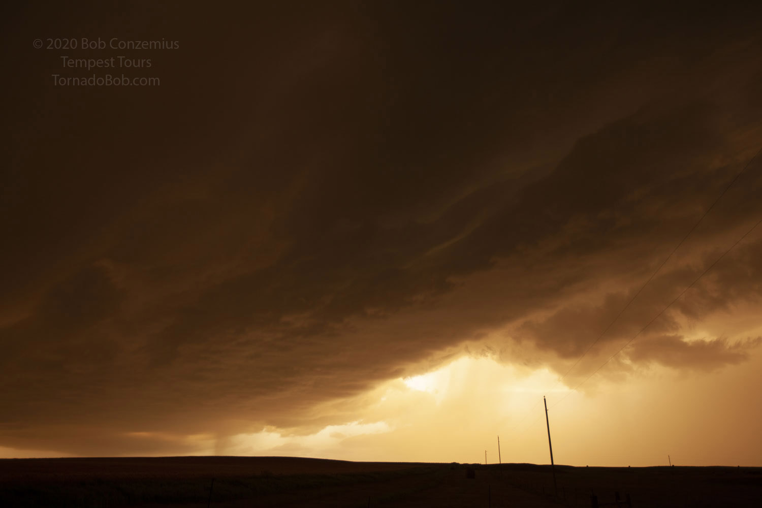
From there, we were able to get a bit more in front of our storm, but maybe not for very long because the road would continue south-southwest as the storm continued southeast. Another storm was also visible farther south, and maybe we would eventually have a shot at that one. Highway 112 gradually climbed to higher elevation as we headed into the northwestern part of the Black Hills, and we started to see more trees and have more of our view blocked by hills. Nevertheless, our maps satellite view showed some occasional clear meadows along our route ahead, but then we would be surrounded by hills. This was starting to happen, and the storm wasn't looking that great, anyway. It had a ragged wall cloud that appeared to be undercut by outflow. The structure was not that impressive.
We got into an area of hills and trees, but then the road turned westward before dropping into a valley, affording us a quick view of the storm. The opening into the valley revealed the wall cloud, directly ahead and still somewhat ragged, but we could see it just long enough to realize that it was now rotating RAPIDLY! I cursed as we dropped into the valley, and the action area went out of view. I checked the navigation. The road curved left and quickly climbed back out of the valley and ran through an open field. Maybe a minute, and we'd see the action area again. The clearing approached, and...
TORNADO!!! It was a very sudden change of events for a storm that did not look very good, but at this moment, it was all pretty clear, and the structure was all there. There were no big pullouts, so we pulled over along the shoulder (luckily, there was absolutely no traffic) and all raced out of the vans with our cameras. After about a minute of video, I ran back to the van and grabbed my tripod so I could run back again and grab my still camera to take a few pictures. There was a lot of hooting and hollering. My YouTube video got several thumbs down clicks because of that.
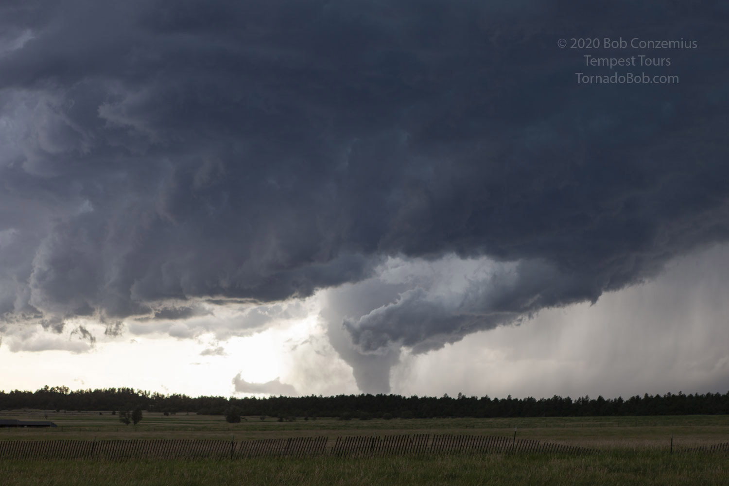 |
| Tornado is wide at first. |
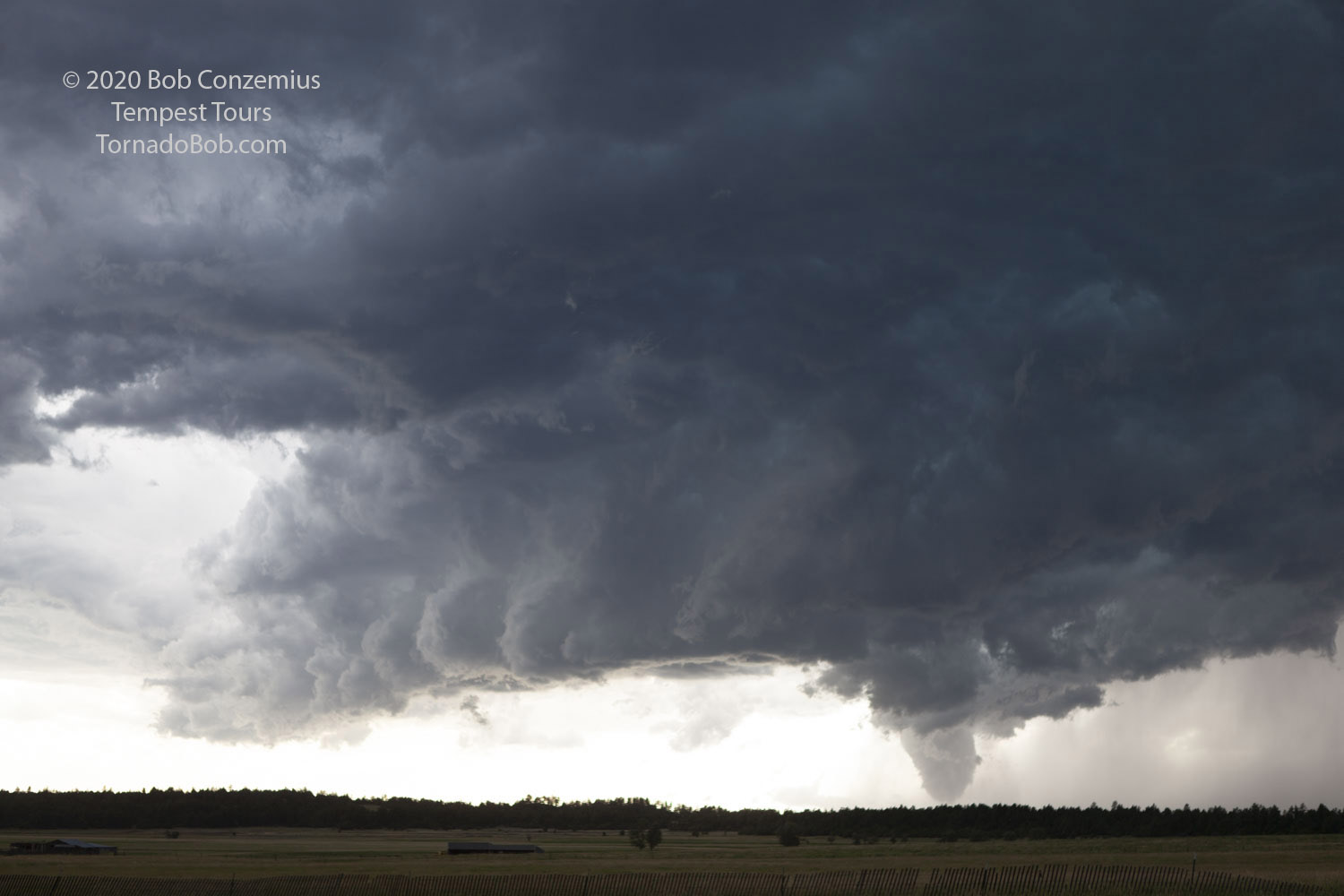 |
| Here's a slightly wider shot of the storm and tornado. |
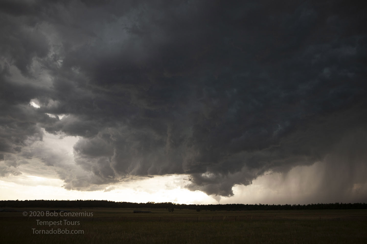 |
| The tornado got much narrower at the end of its life cycle. |
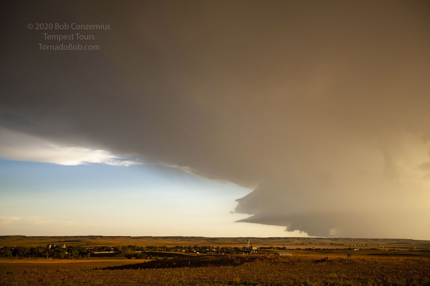
After the tornado dissipated, we sat and watched the storm continue to approach. There was still rotation at cloud base, but it was not intense. We drove a little farther and watched the mesocyclone cross the road behind us. At this point, the tornado-producing storm was no longer chaseable, but the storm to our south looked better now, so we decided to attempt to get to it. The road took us south to I-90, but right before we got on the interstate, our storm gave us a briefly interesting look-- long enough to distract us from what we should have been doing. Impatient with that, I rounded everyone back in the van. It was time to be on that southern cell.
The approach to the southern storm was not an easy one. As we drove through the Black Hills, areas of precipitation formed between our two storms, and now we had core to navigate. I was worried about hail from the southern storm, but I-90 took us far enough around the northern periphery of the storm, and our drivers were sufficiently skilled in the heavy rain that we made it into Rapid City just in front of the storm (I didn't mention that the storm had been tornado-warned for a while). I looked out the window as we cleared the last of the intervening rain, and the structure was amazing-- stacked plates! Now just barely in front of the well-sculpted storm, and with I-90 taking us directly east, it would be easy to stay in front. There was only one problem, though.
 |
| We are about to clear the shelf cloud, and our route is now free to get in front of the storm. |
 |
| We are now clear. Time to get ahead and drop south! |
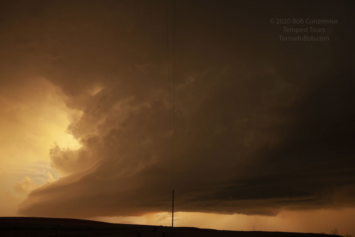
One van needed to stop for gasoline. We got as far east as we could so we could see the storm while we pumped gas and also to make sure we did not get hailed on. To make matters worse, the gas pumps were incredibly slow, and people also needed to take some time for a restroom break. We got back on I-90 as quickly as we could, but the storm was getting a bit south of the interstate. We needed to take Highway 44 southeast out of Rapid City to get a good look at the storm, but the core was now starting to move over that road. I couldn't take it. Maybe could try again farther east. As it turns out, golf ball to tennis ball hail was reported in the south/southeast part of Rapid City, so it was a good decision to skip Highway 44, but I really did want to be in front of that storm.
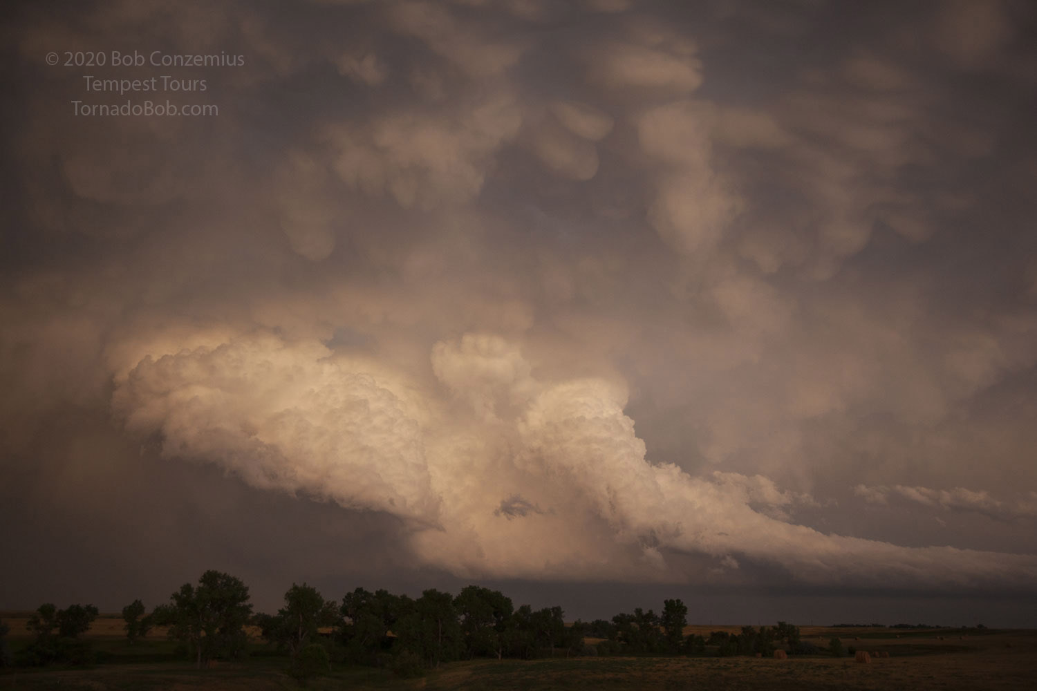
We continued east on I-90 but never got far enough ahead of the storm that I felt confident in dropping south ahead of it. We could see enough of it that I could tell the structure would have been awesome from in front. We had other cells approach from the northwest, and we spent some time playing with those.
 |
| The storm to our south-- I really wanted to be in front of it. |
 |
| Next storm coming in from the northwest. |
 |
| The view and color were spectacular. |
 |
| A big, sunset-illuminated base. |
 |
| Letting the storms go. |
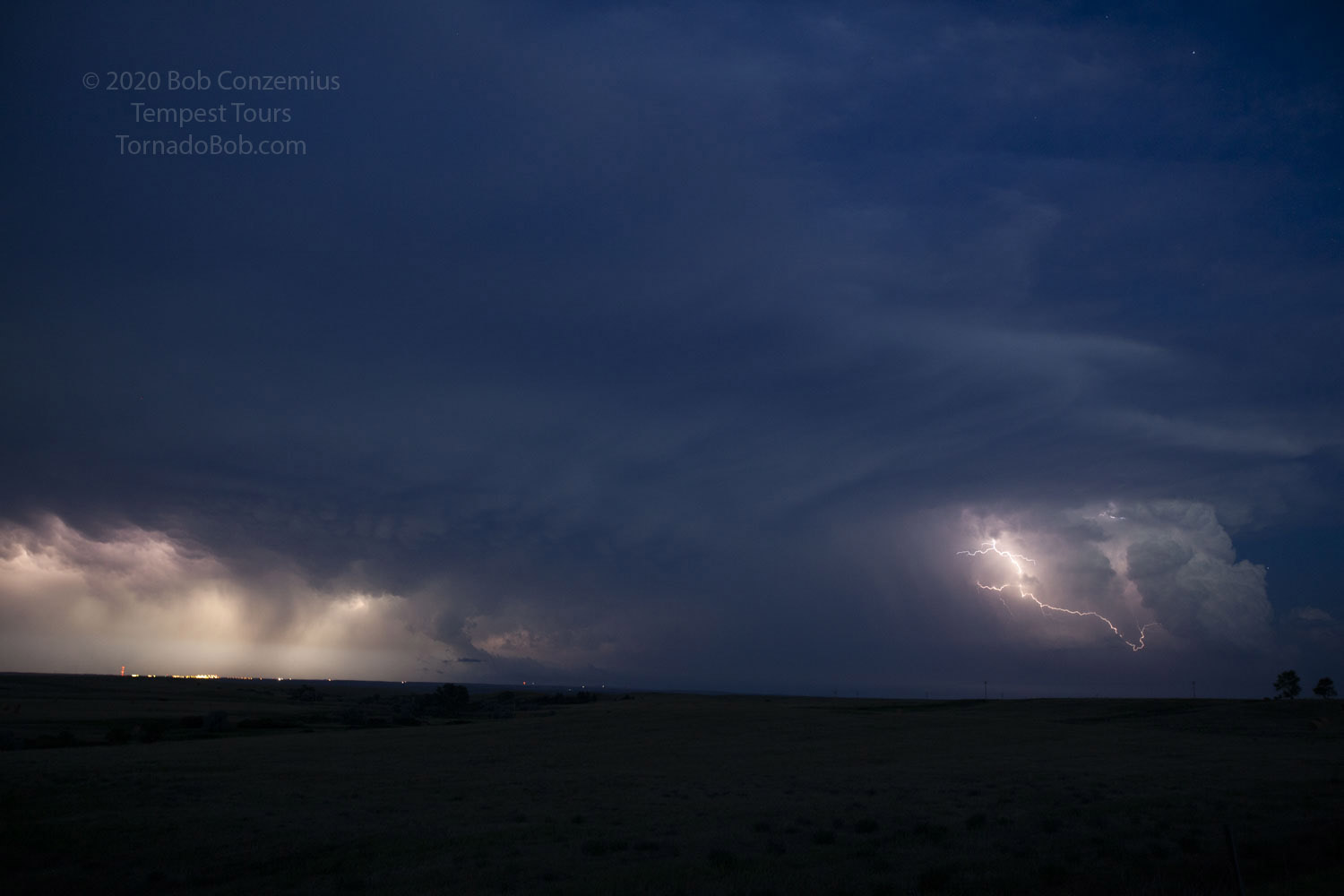 |
| Some opportunity for lightning photography. |
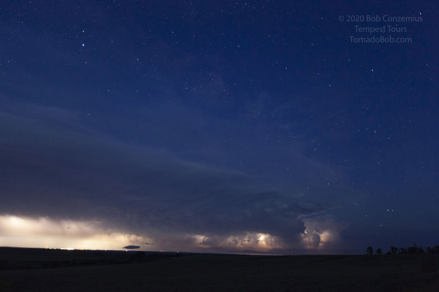 |
| Stars pop out around the storm. |
We stopped at Wicksville to let the storm go, and I made motel reservations. Normally, Rapid City would be a very expensive place to stay in July, but with the novel coronavirus, tourism was down a lot, and room rates were reasonable.
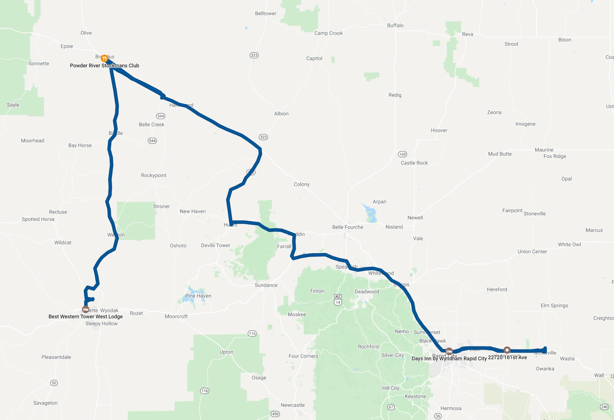 |
| Our chase route. |
Back to Storm Chases | Home