July 4, 2024 Storms
Northern Iowa
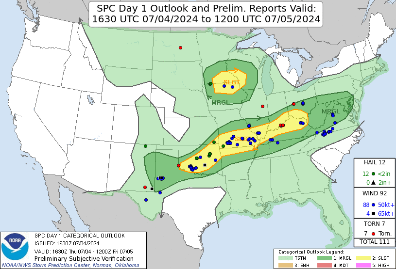
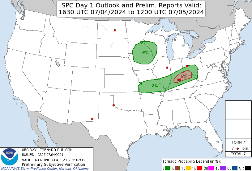
It was another slight risk day today. Included in the slight risk was a 2% tornado area covering parts of Iowa and Minnesota. The low-level shear, once again, was not great, but the LCLs were quite low, and this meant that anything that spun slightly would have a chance to develop a condensation funnel to ground. The models showed LCL and LFC right off the deck, but in reality, the dewpoints did not get far into the 70s, and both were much higher than predicted. They still made for some nice shelf clouds.
 |
| SPC 1630 UTC Outlook. |
 |
| There were no tornadoes in the 2% area where we chased. |
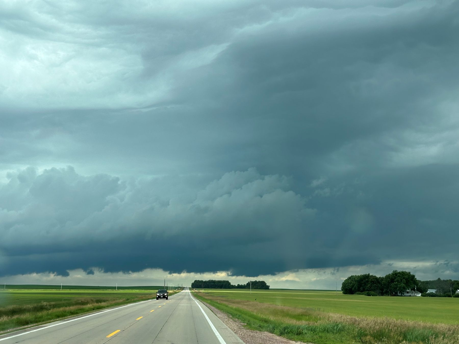
We drove east on I-90 to Worthington, Minnesota and gassed up there. Storms were firing early (before noon), so I had everyone grab some lunch items at the convenience store, and we were back on the road. We drove east two exits and drove south on Minnesota Highway 264 toward Round Lake to investigate a new storm to our southwest. This took us back into Iowa. As we approached this storm, we could see a nice, long shelf cloud.
 |
| Our first storm intercept of the day. |
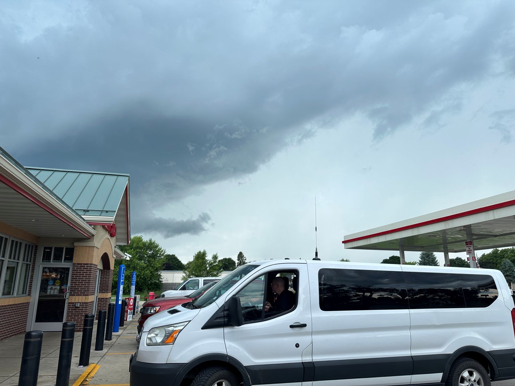
Our time with this first storm was not long, and it kind of fizzled and lost its structure. There were some newer storms to our east, so we drove toward them. This quickly took us into the Spirit Lake area, where I had not been before today. This recreational area was filled with a lot of people because it was the July 4 holiday. It took us quite a while to navigate around the Spirit Lake area, but eventually, we were out of that congestion and headed toward Estherville. There were a few small cells along the way, but none looked particularly interesting. When we got to Estherville, there was a rather interesting cell visible from the gas station.
 |
| Looking at a new storm from a gas station in Estherville. |
This cell also did not stay interesting very long. Here is a shot of it about fifteen minutes later.
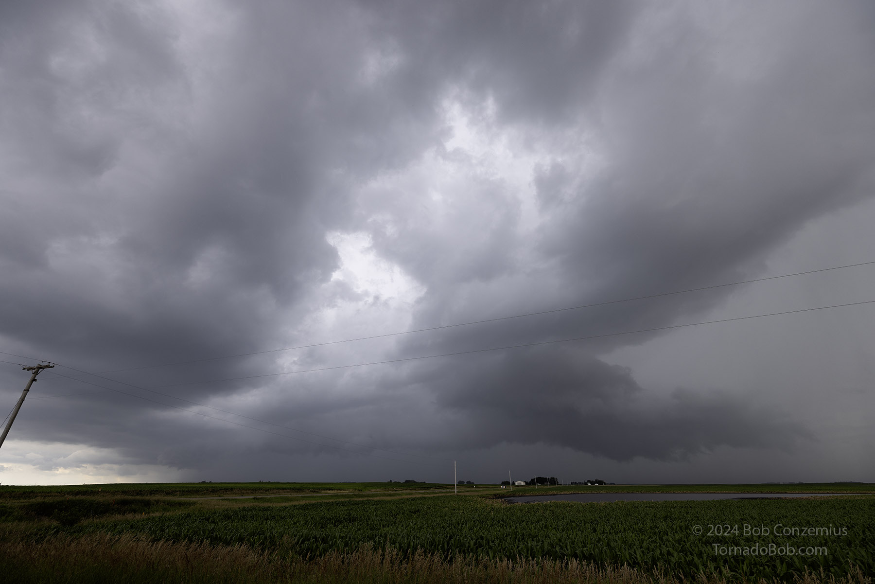 |
| Storm about 15 minutes after we left the gas station. |
We continued to wander around northern Iowa in search of a more interesting storm. Eventually, we got onto storms with better looking shelf clouds. Here are a few pictures of those.
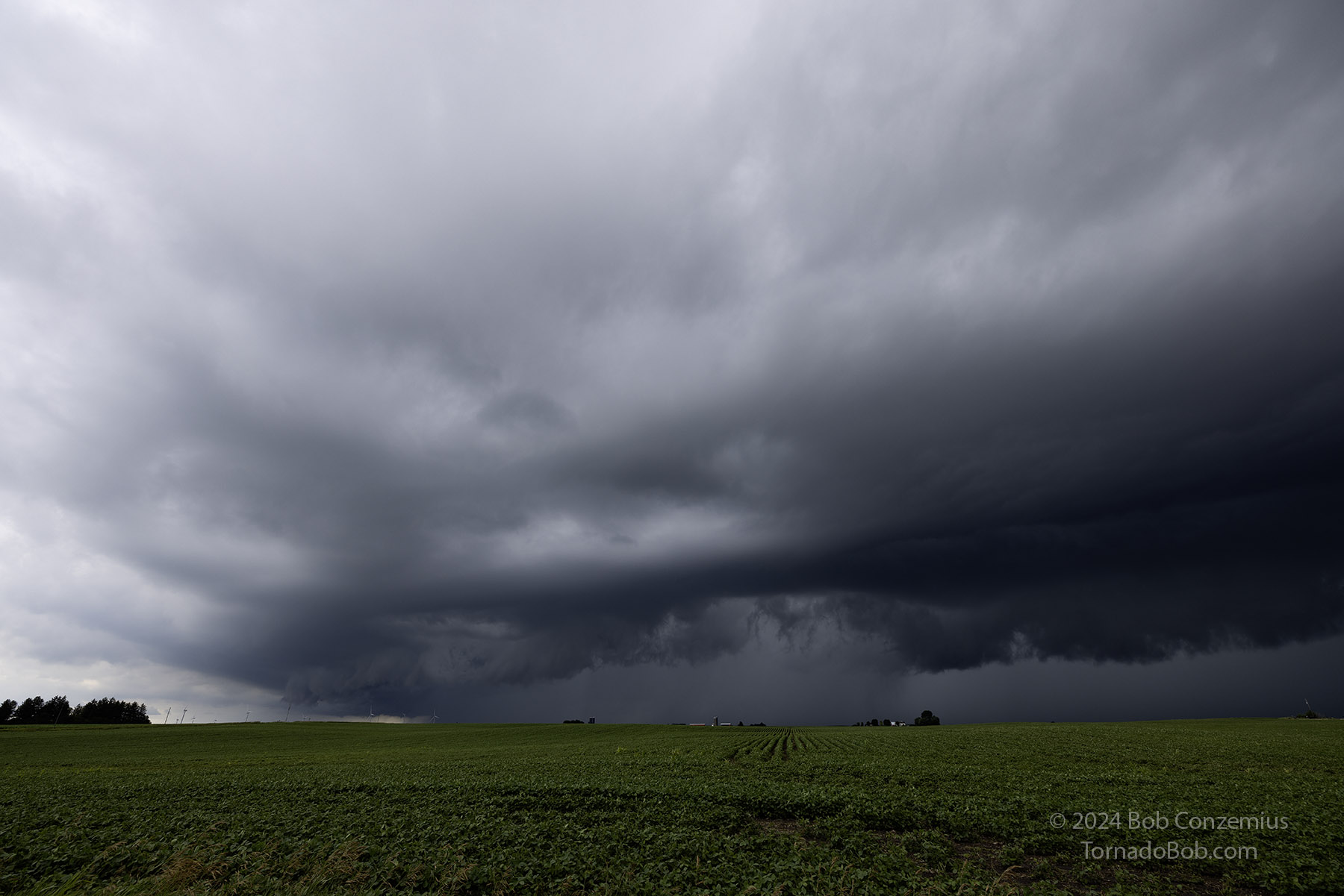 |
| Storm appears to have a weak mesocyclone along shelf cloud. |
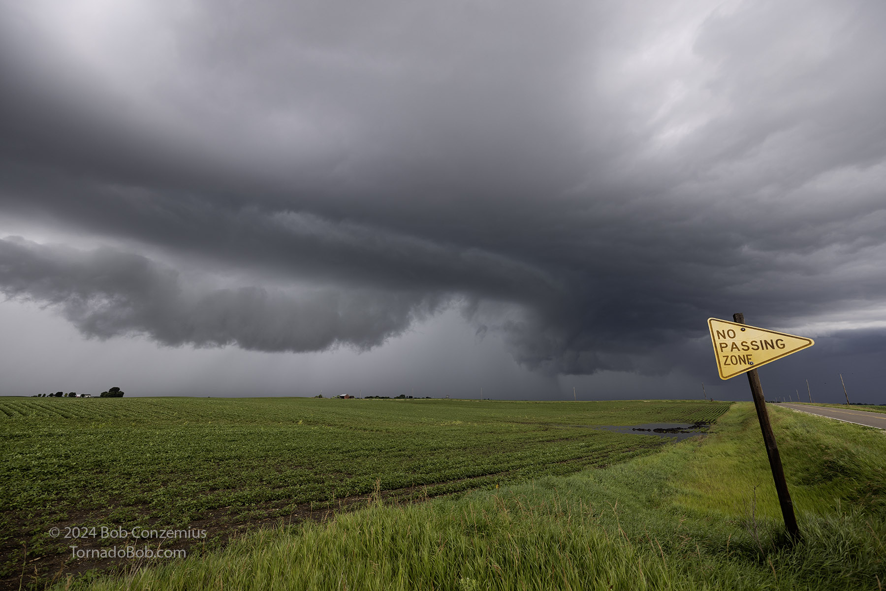 |
| Bowing segment of an outflow-dominant storm. |
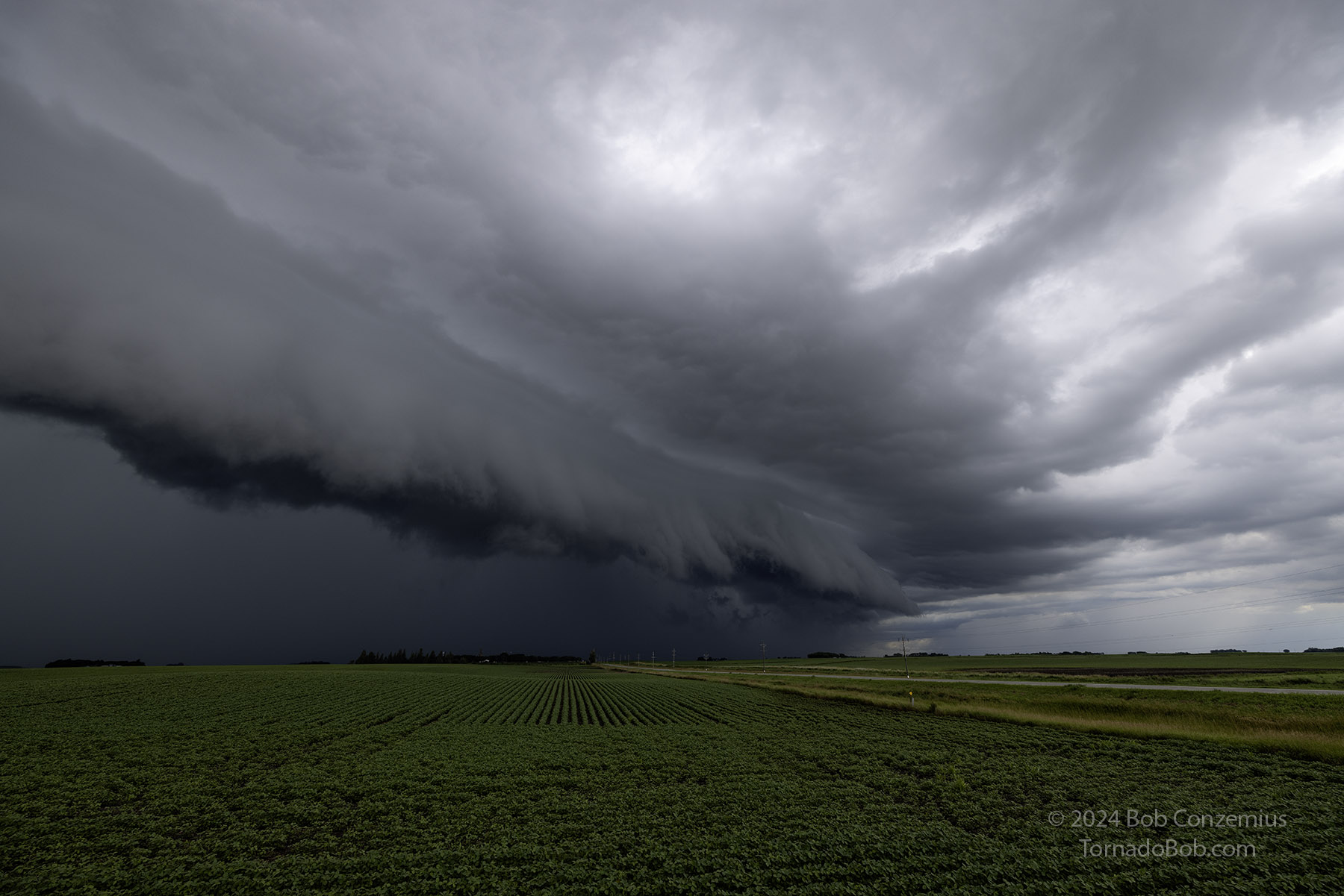 |
| Storm develops a more pronounced shelf cloud. |
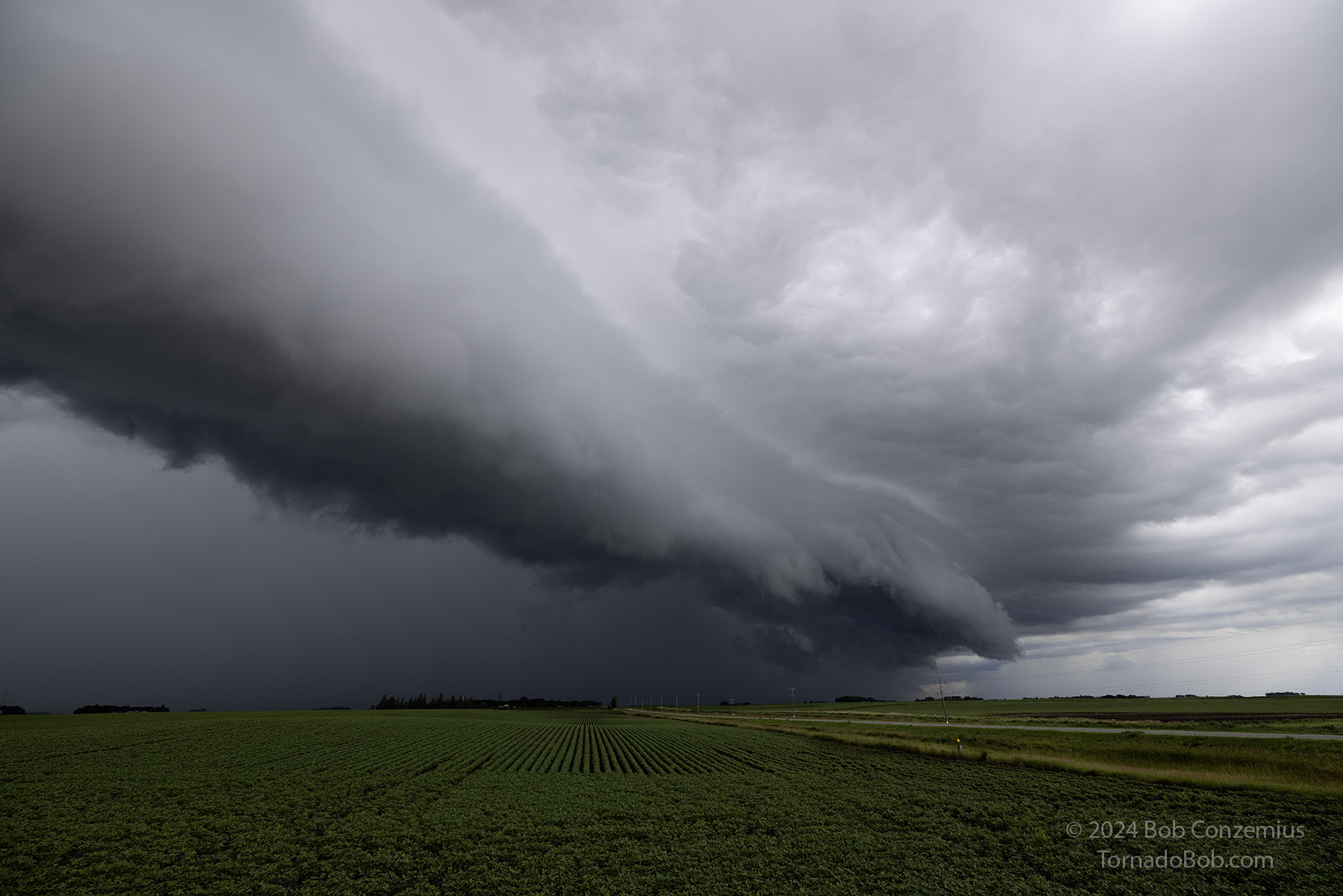 |
| Shelf cloud shortly before it overtakes us. |
We continued to work our way east and south with the storms, looking for new storms. We visited Armstrong, Swea City, Ringsted, Algona, Eagle Grove, and Webster City. Eventually, the shelf clouds became tiresome, and they also lost a little bit of their organization. In Webster City, we called it a day and headed back a little west to stay at the Cobblestone Inn & Suites - Fort Dodge. We enjoyed a nice pre-sleep meal at Arby's. I have no recollection of a fireworks display. I think the City of Fort Dodge had held the fireworks celebration the previous day or something like that.
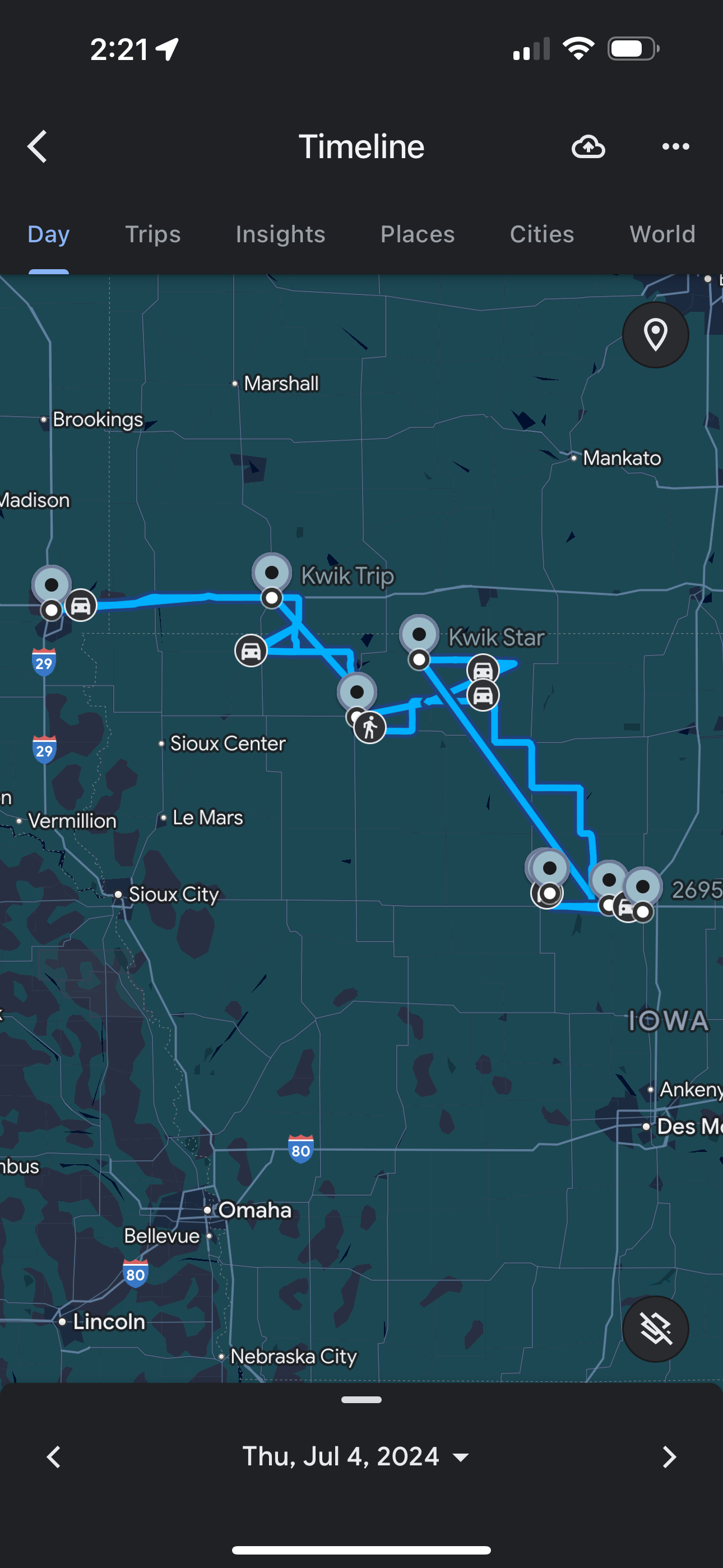 |
| Our approximate route. |
Back to Storm Chases | Home
