July 26, 2019 Storms
Northeastern Minnesota
Some of the supercell and tornado parameters looked pretty good for this day. A cold front was heading southeastward into Minnesota, and with CAPE and decent low-level turning of the winds (some fairly strong upper tropospheric winds, too), it could be a pretty interesting day.
As it turned out, a line of storms developed, and I did not observe any supercells. Those developed west-northwest of the Twin Cities and hit the Twin Cities with some very large hail-- up to four inches. Here are a few pictures from my chase.
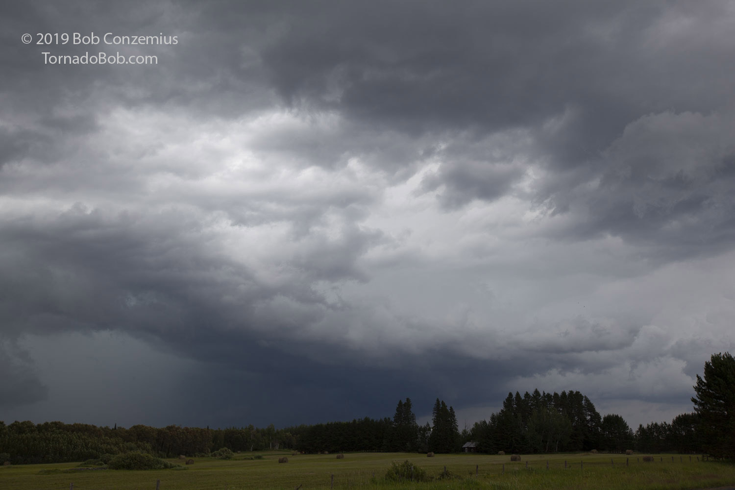 |
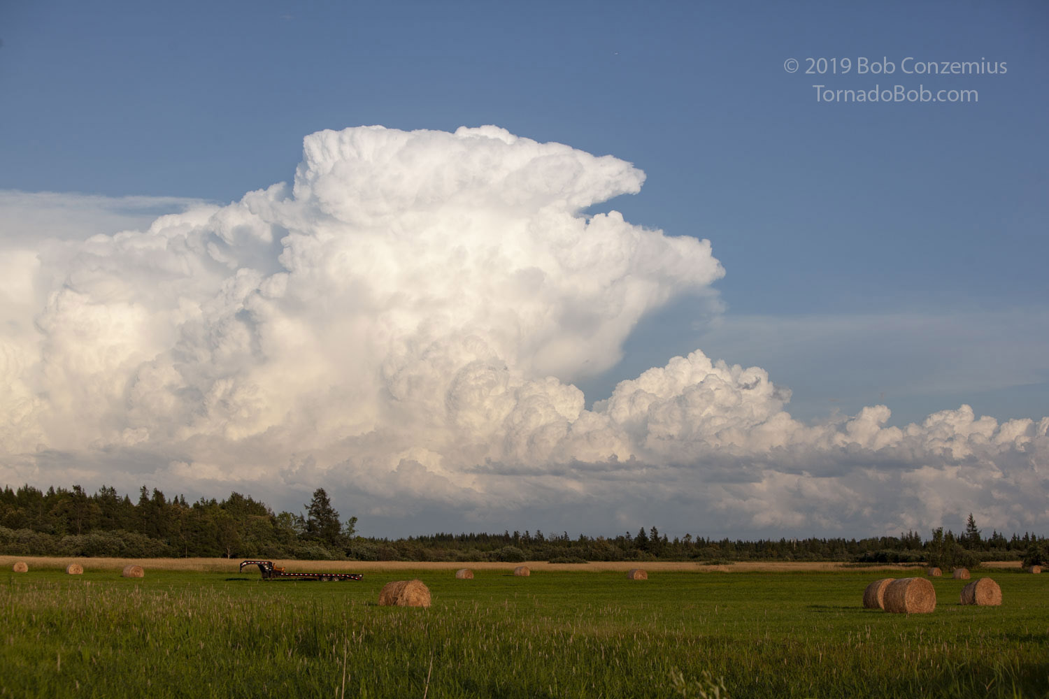
| Storm near Cherry, MN. |
 |
| East into the Superior National Forest, looking back east at the line of storms. |
 |
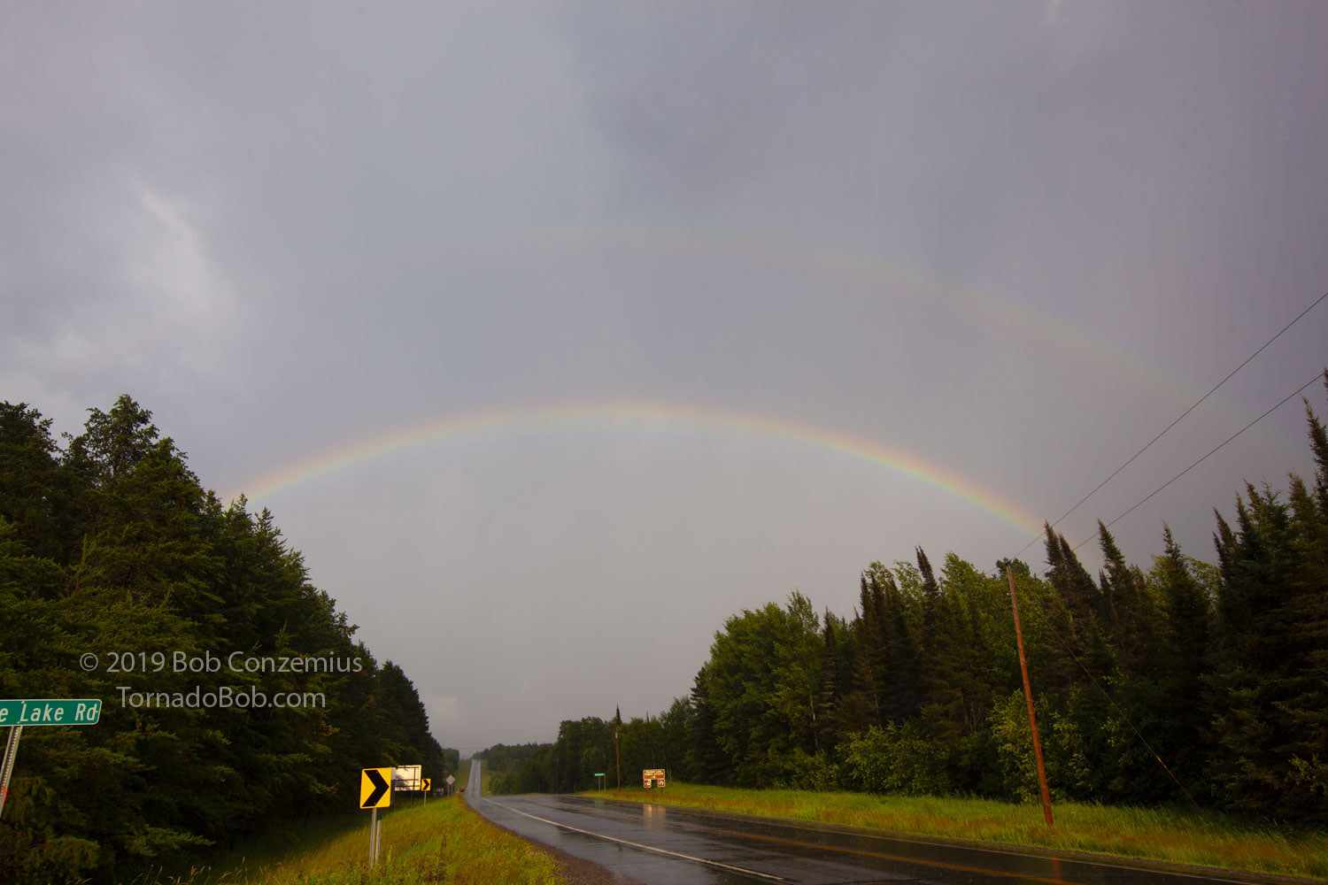
| Rainbow over a pond in the Superior National Forest. |
 |
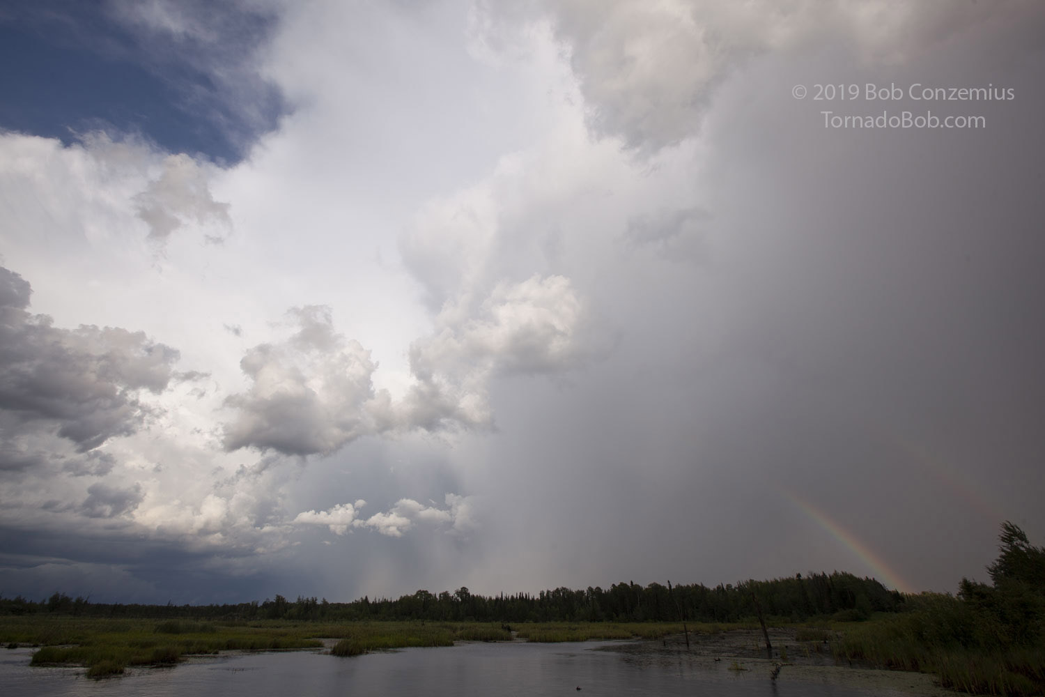
| A smaller storm develops near Duluth, as seen from just east of Hibbing. |
 |
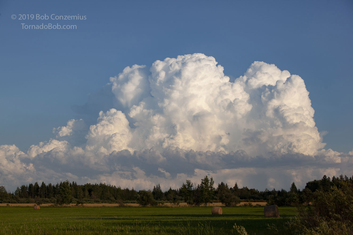
| Shooting from Hibbing, looking southeast at a storm over the north shore of Lake Superior. |
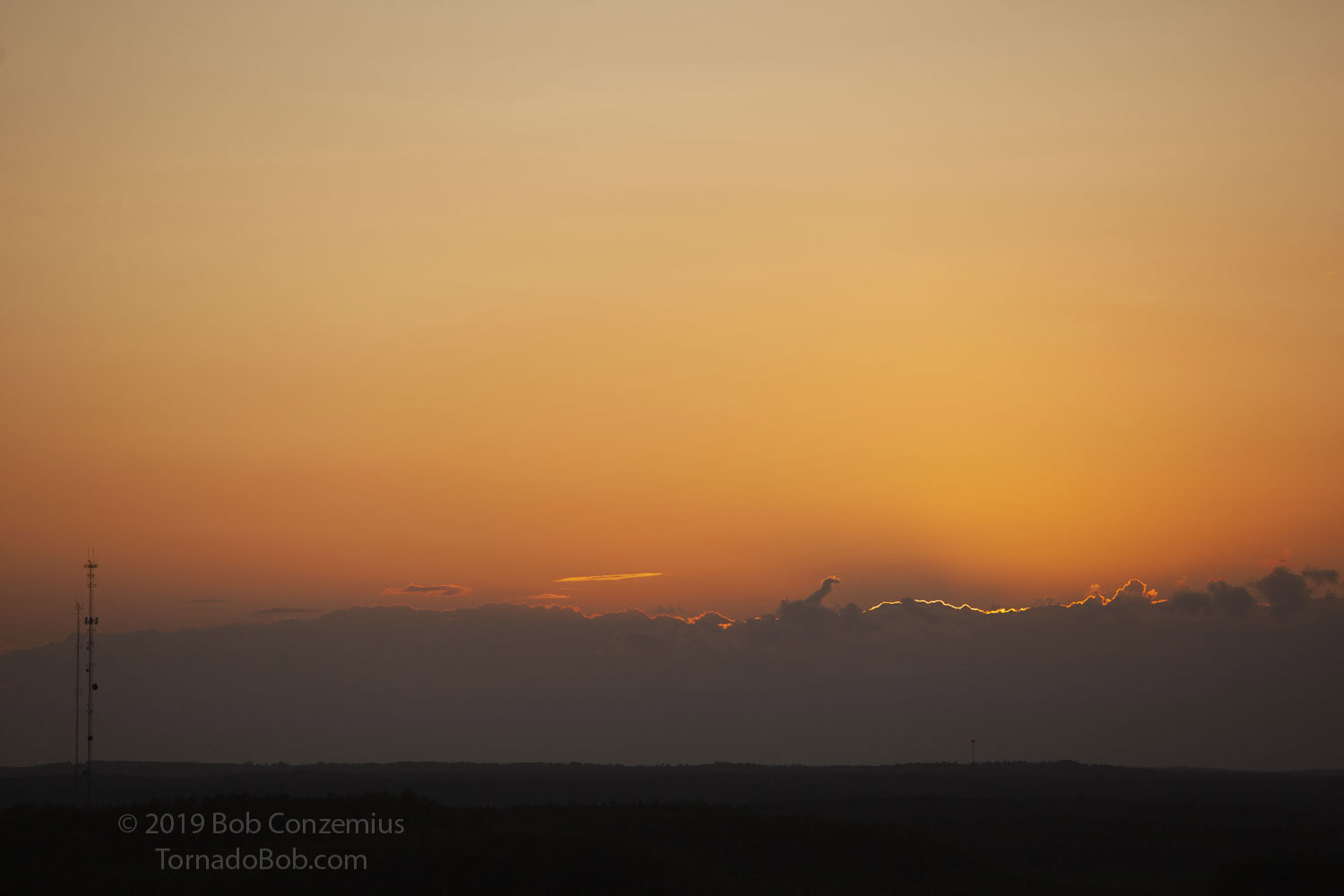 |
| Sunset from atop the ski jump at Mount Itasca in Coleraine. |
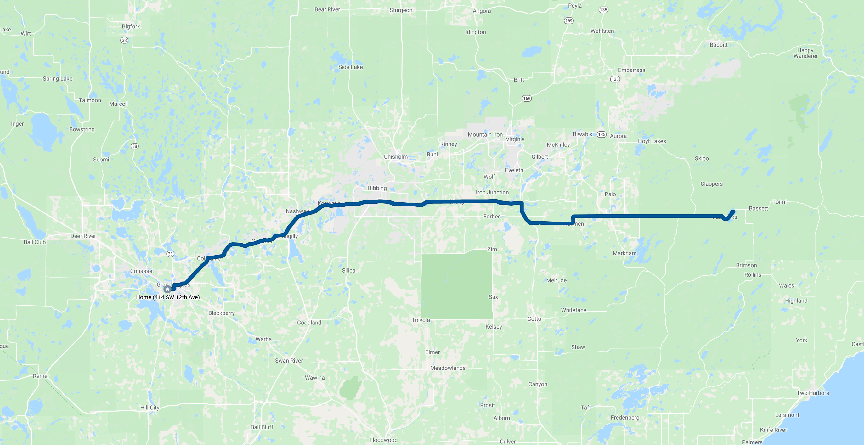 |
| Route for the day. 164 miles. |
Back to Storm Chases | Home