June 17, 2015 South Dakota Badlands LP Supercell
We drove toward the Black Hills of South Dakota expecting storms to develop there in a CAPE axis that pointed northwestward in that direction. Shear was marginally sufficient for supercells, but there was no major shortwave trough like yesterday. Still, the atmosphere provided some nice, photogenic storms for us, and as far as sights and photography were concerned, this was probably the best day of the tour.
Black Hills Initiation
After a nice Chinese Buffet lunch in Alliance, we took a tour of Carhenge and then drifted slowly north, also stopping in Oelrichs, South Dakota to tour the town. There, we saw a cluster of cumulonimbus develop over the Black Hills and decided to chase that cluster. On our way, a larger thunderstorm developed and the chase was on. We intercepted the storm just north of Hermosa.
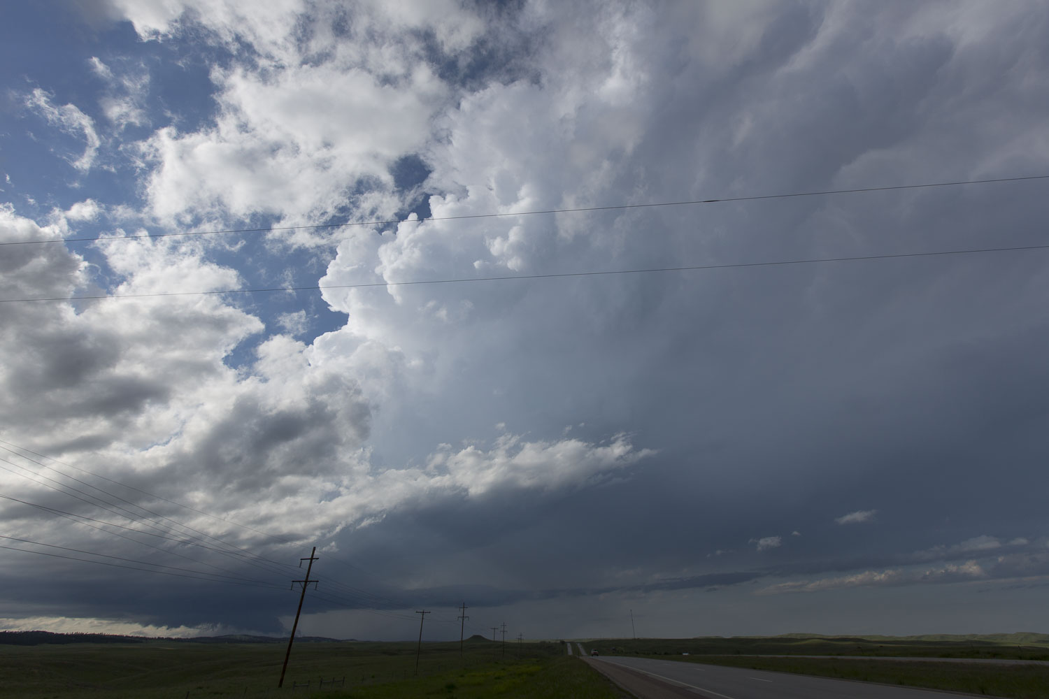 |
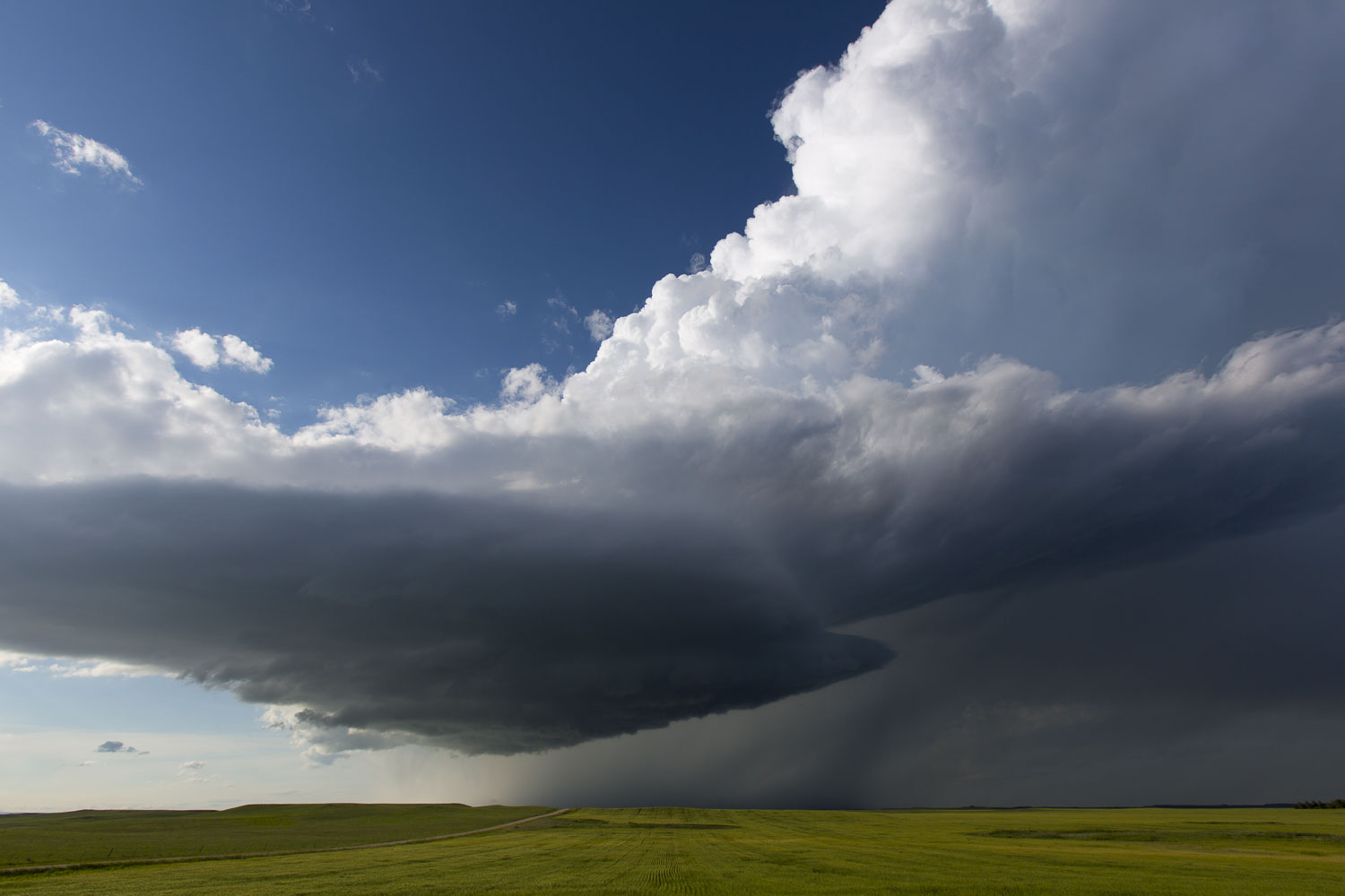
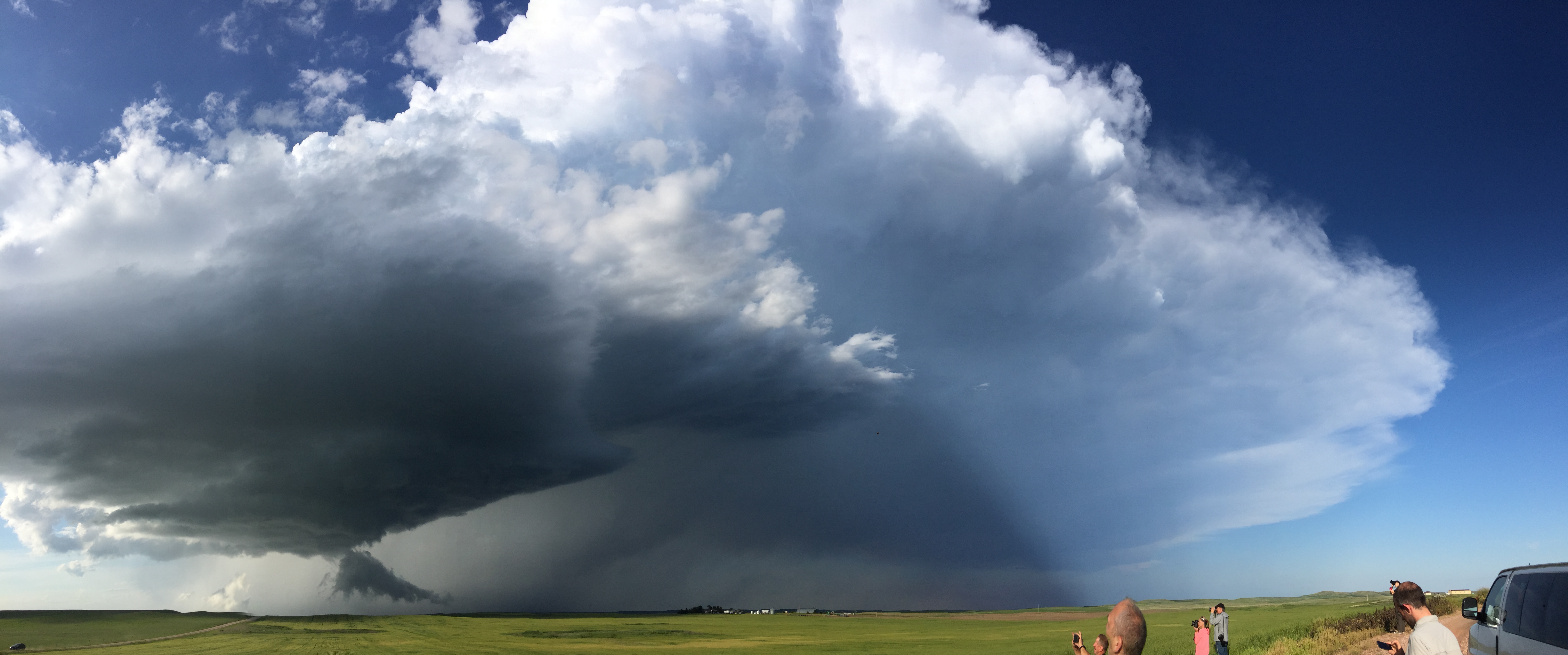
| Here's how the storm looked when we first stopped. Note the wall cloud and the narrow inflow band to the east of the updraft base. |
The inflow band on the storm was there when we first arrived at our photography location, but in a few minutes, it disappeared. These inflow bands are one of the features I use to predict a storm's longevity. If I see a significant inflow band to the east, I figure the storm will be around for a while. If it disappears, I start to worry. This one soon disappeared.
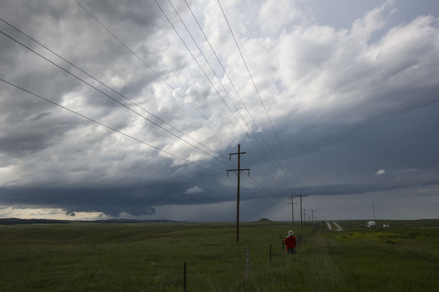 |
| Guest observing the storm. The inflow band still looks good. |
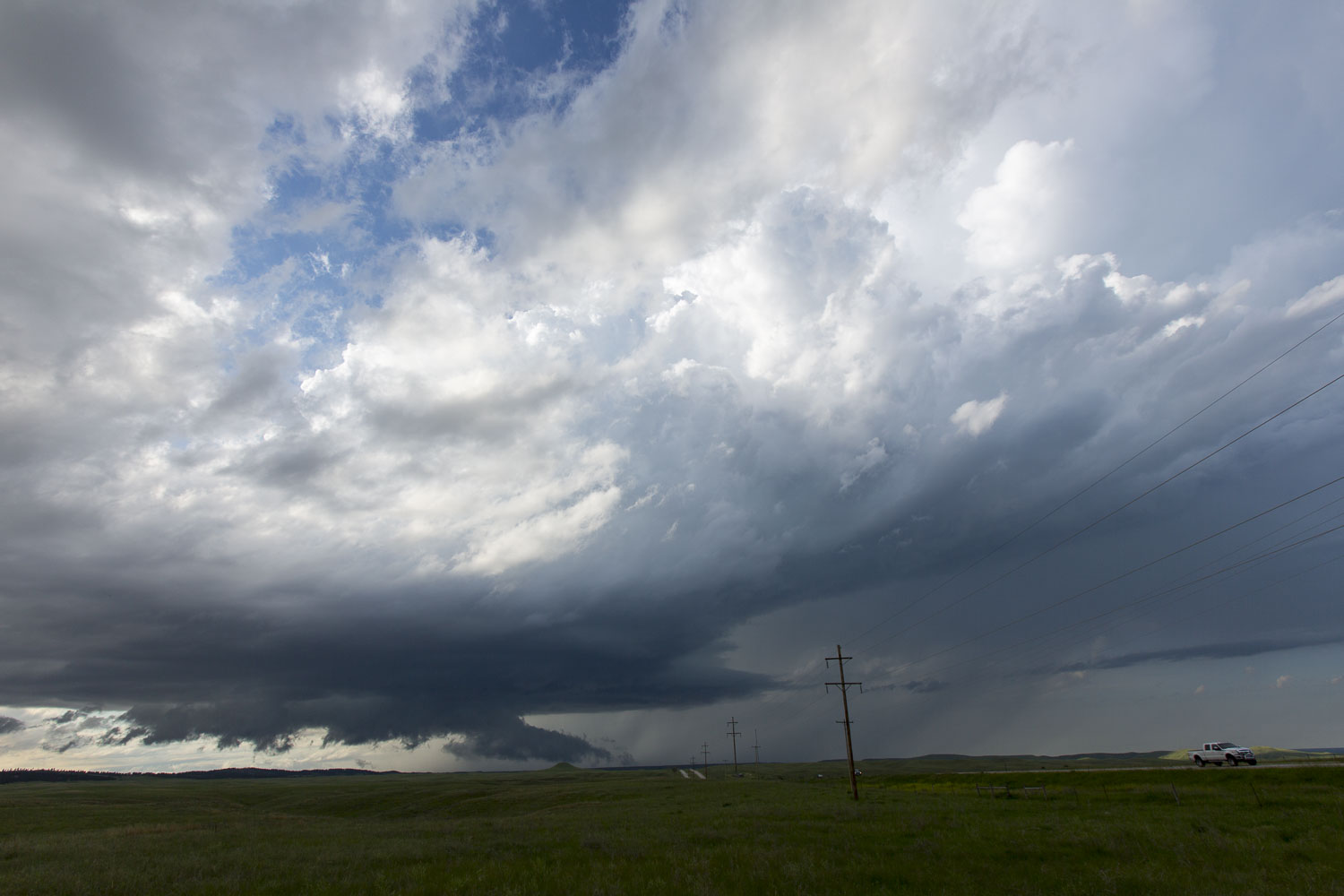 |
| Wall cloud looks okay, but the inflow band is starting to disappear. |
 |
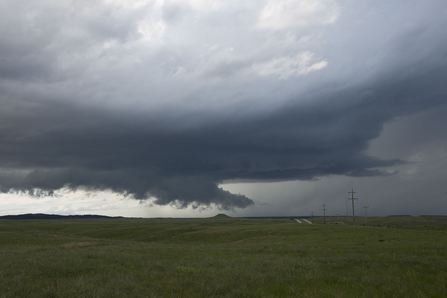
| Wall cloud looks good, but the inflow band is almost gone now. |
 |
| The low levels of the storm still look good. |
Its Minutes Are Numbered
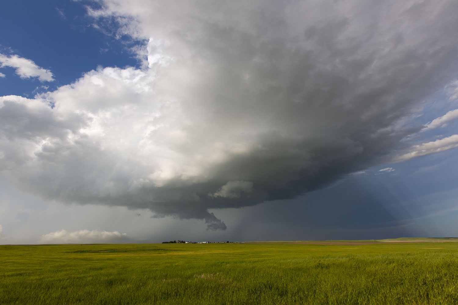
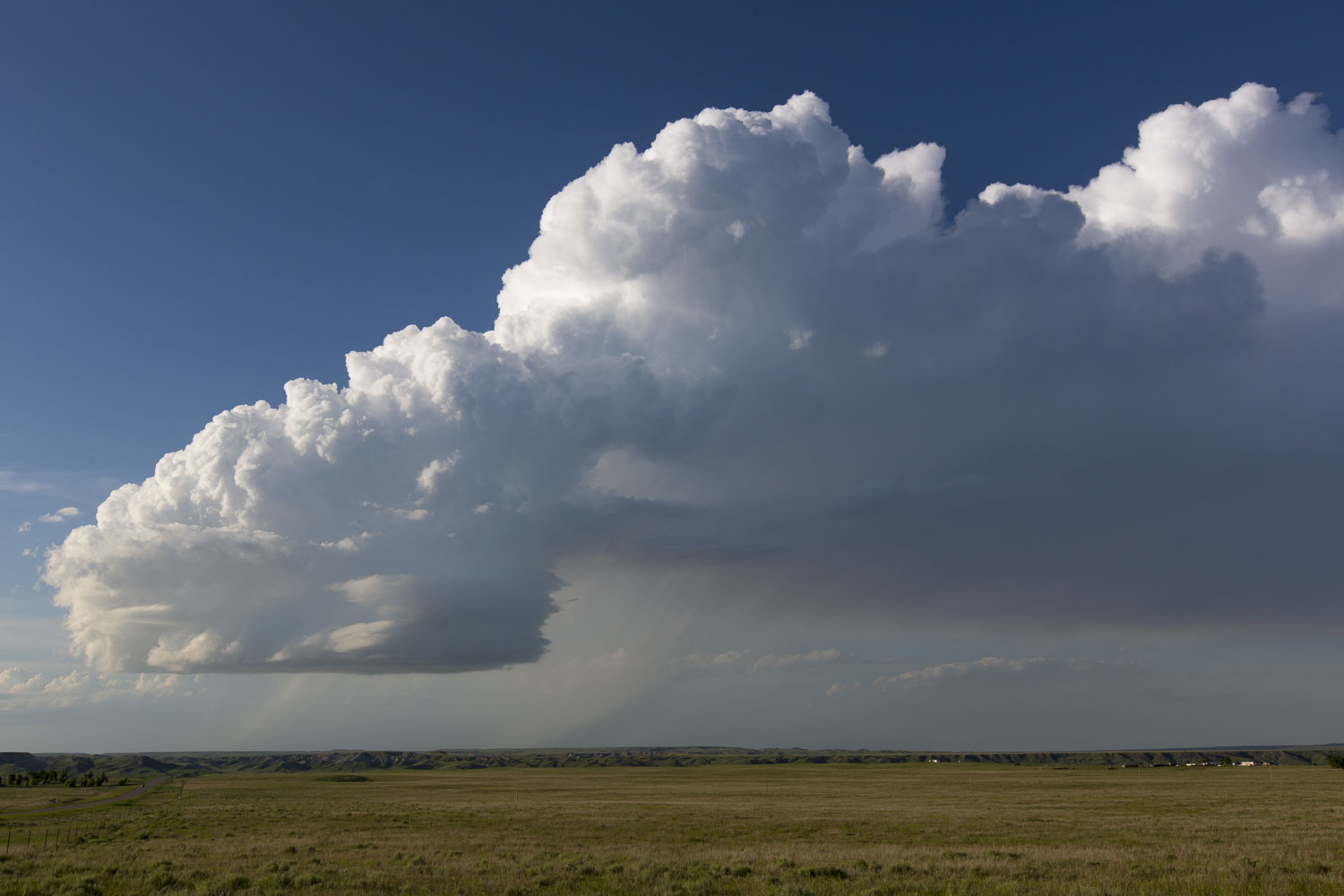
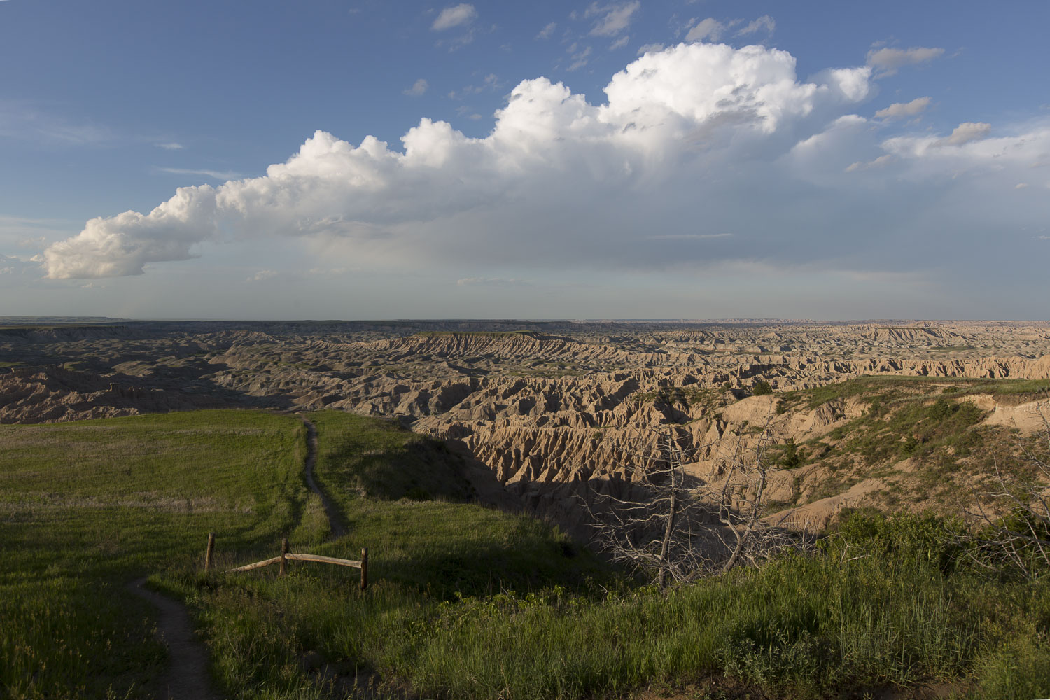
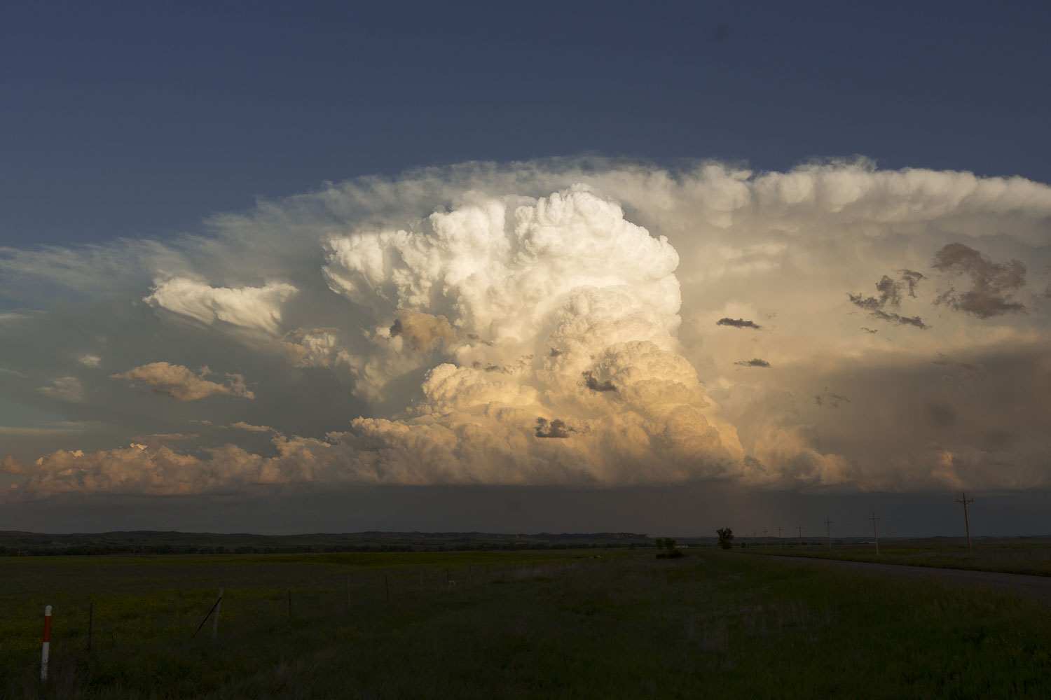
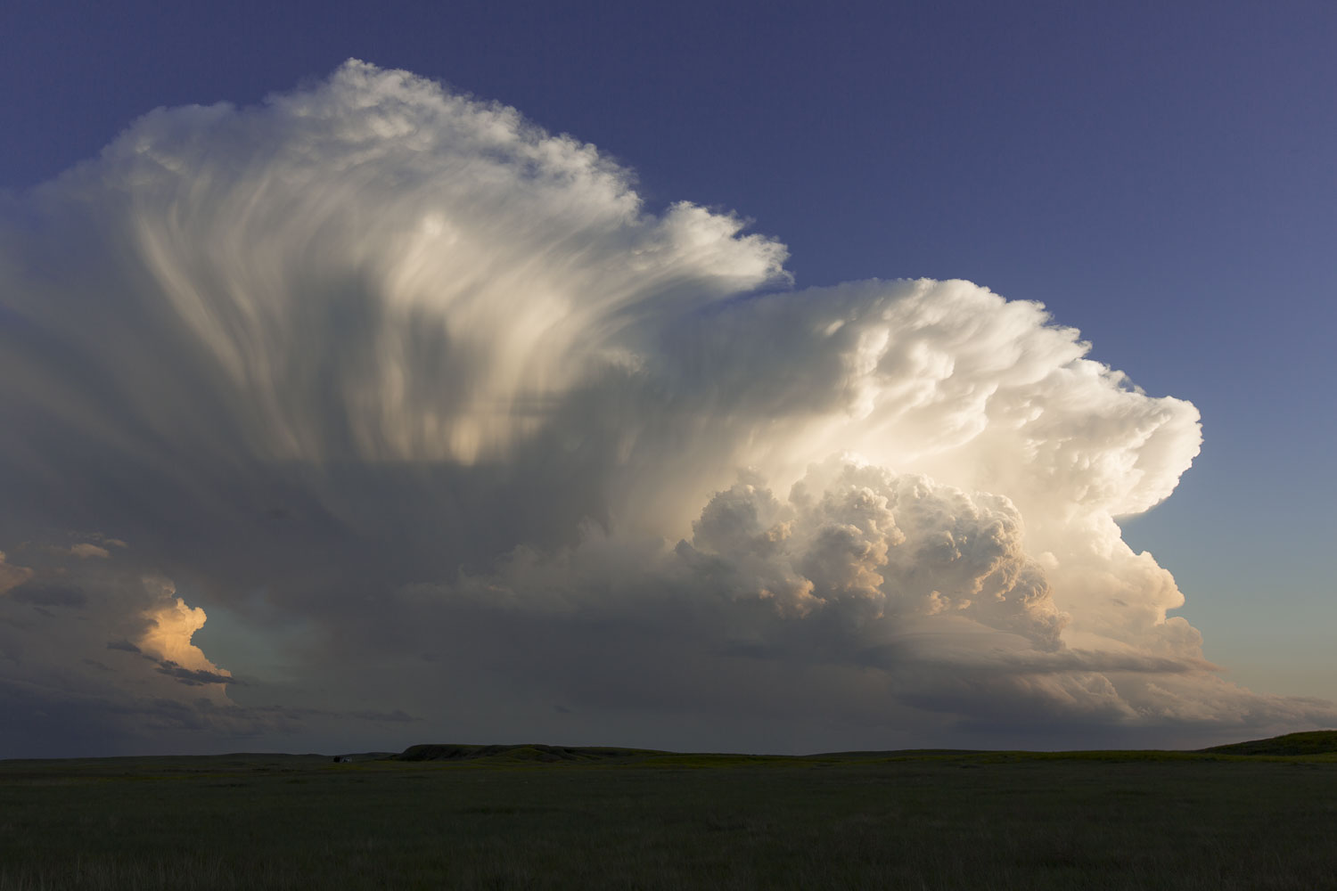
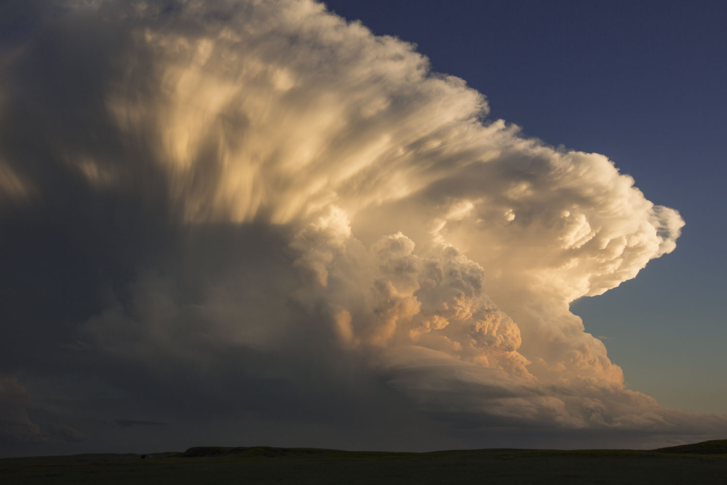
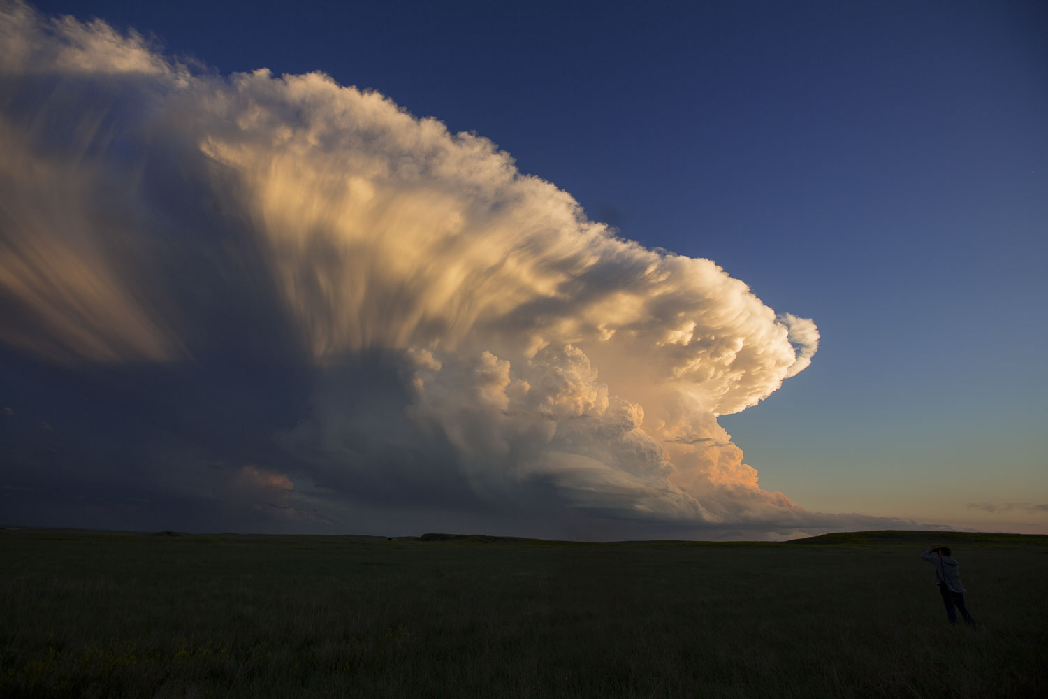
Surely enough, one the storm moved off the Black Hills, it began to shrink. The path to its demise took us into the Badlands, where the storm slowly corkscrewed itself to death as supercells frequently do when they are robbed of their lift. During that transition, it went through a beautiful low-precipitation (LP) phase that was nicely lit against the green grass.
 |
| The storm with its LP appearance. |
 |
| LP moving away. |
 |
| LP moving away. |
The storm continued to shrink, finally meeting its end over a foreground of the eroded terrain of the Badlands.
 |
| Continuing to get smaller. |
 |
| The final dissipating stage of the storm. |
New Storms
With our original storm now gone, we looked to the south, where more storms were developing. Most of these appeared to be somewhat LP-type, left-moving storms. That is, their updraft bases were on the north side as the storms moved toward our location. With that type of movement, it did not take us long to reach the storms. We stopped at several locations, but on the first two, the combination of mosquitos and gnats was the worst I've ever experiences. It was an all-out assault if you stepped out of the car, and a continuous "mosquito dance" was necessary in order to avoid losing liters of blood. We managed to take a few good photos as we drove through the Pine Ridge Indian Reservation. We finished the chase with a stop in Pine Ridge to get dinner then proceeded to Scottsbluff, Nebraska to stay the night.
 |
| New storm to the south. |
 |
| Another storm to the southwest. |
 |
| Peak sunset coloration. |
 |
| A wider view of the southwestern storm. |
 |
| The final dissipating stage of the storm. |
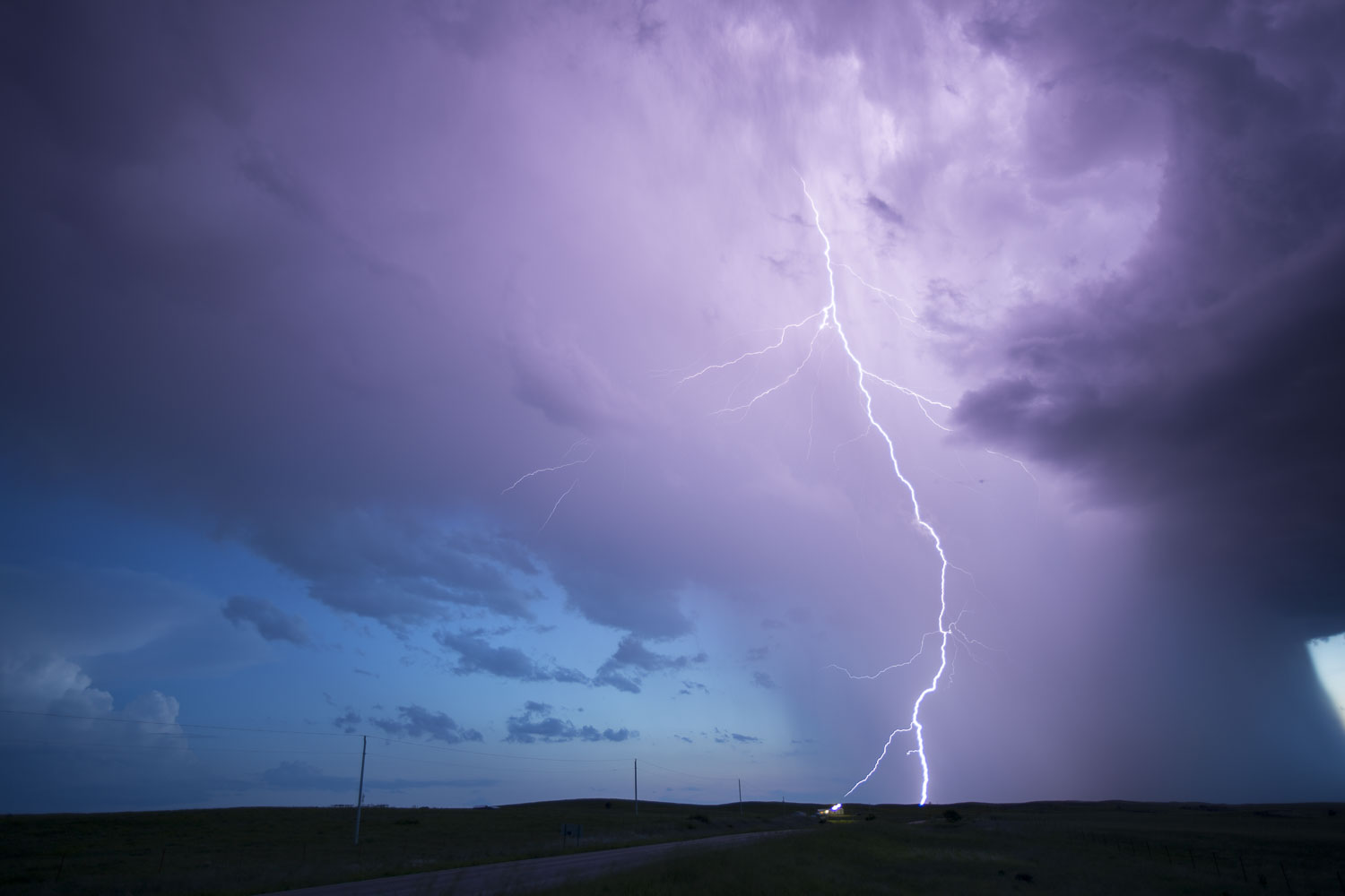 |
| Time for a little lightning photography. |
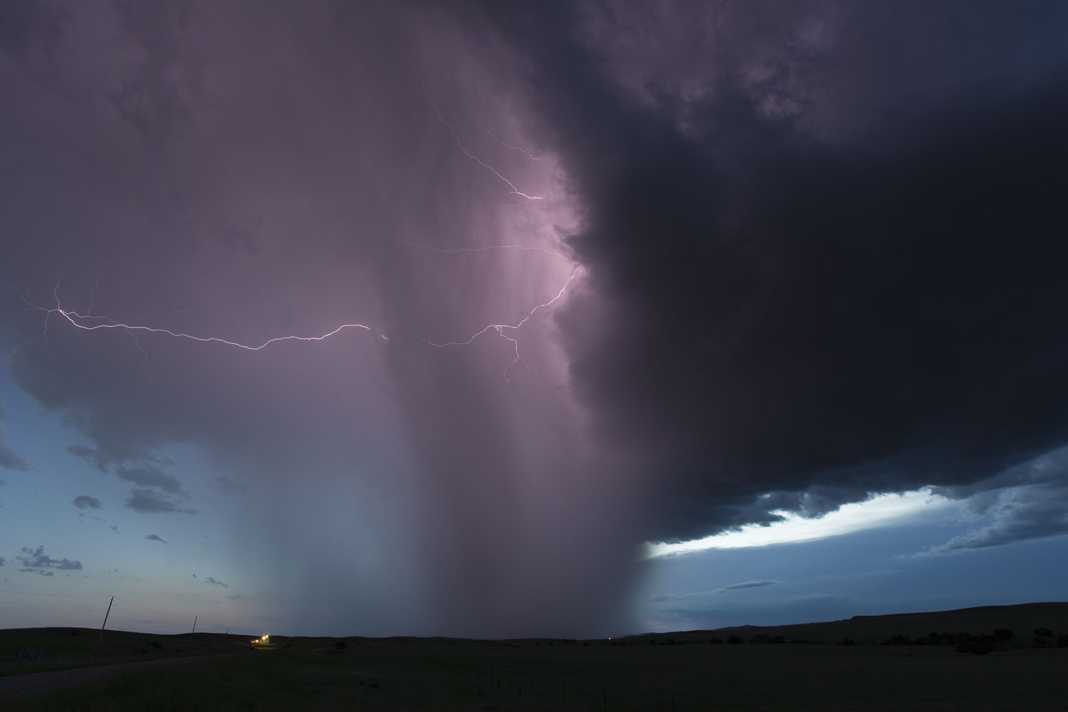 |
| The final decent lightning shot before it started to rain. |
Back to Storm Chases | Home