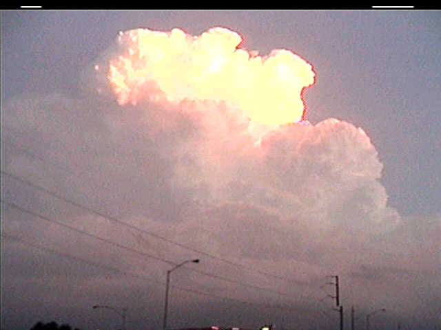
This storm initiated just south-southwest of Kansas City, MO at sunset, so I got my video camera and started it rolling.
This storm showed an inflow tail almost immediately under its base (not shown-- too dark)
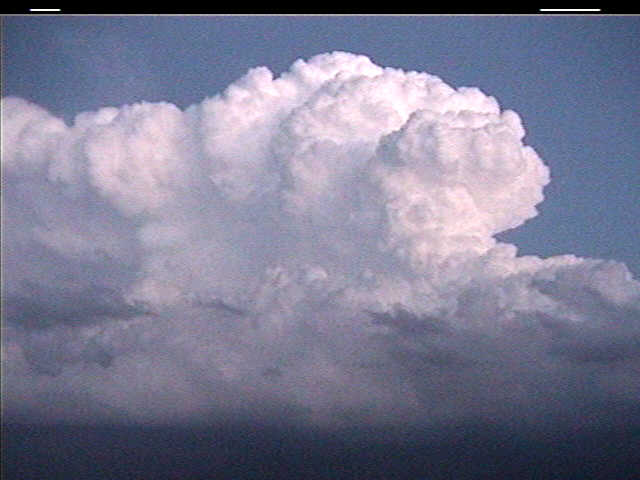
The storm developed some backshear on its anvil, so I decided to pull over and shoot some video and take some stills.
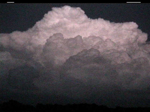
As soon as I did this, a severe thunderstorm warning was issued. By this time, it was a little too dark for the video captures to show up well, but they still show some of the evolving structure from the back side.
The severe thunderstorm warning was upgraded to a tornado warning as the lightning flashes increased. This storm drifted away to my e-se, and another storm developed to the south of me. Also, a small LP updraft moved in from the west, displaying some interesting banding and an attempt at an RFD/horseshoe (too dark to show this, though).