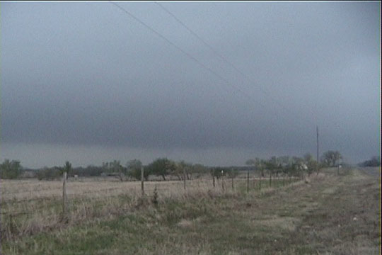
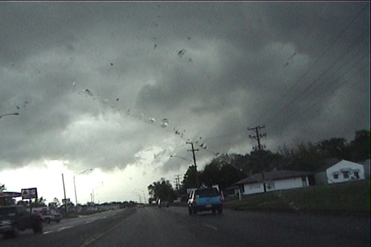
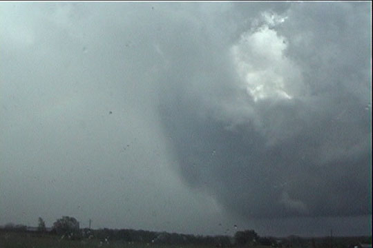
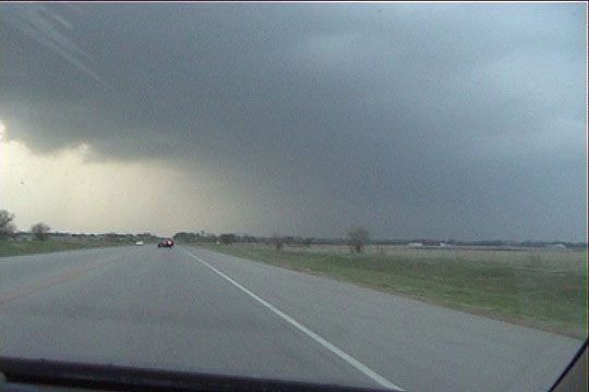
Ralston, OK: Base of our storm (looking NNW) - main action area. The very elongated structure of the storm made it difficult for us to identify this as anything other than a simple shelf cloud.
Chase crew today consisted of Jon Yuhas (from KARE-11 in Minneapolis/St. Paul), his chase partner David Glaser, my two sisters Julie and Susan, Al Pietrycha, Cheryl Chang, RJ Evans, and Bobby Prentice.
This was a very hectic chase. Our thinking was to get up to northern Oklahoma near the nose of the dryline punch, with the option to chase much closer to the center of the surface and upper low if that became necessary. We didn't like the winds too much around the storms farther northwest of us, and we thought that tornado opportunities here would be transient and brief, so we decided to wait for development at the apex of the dryline surge. This eventually happened, and a storm soon became tornado-warned to our southeast. We blasted east from the I-35 Stillwater exit, through Stillwater, and made an attempt to catch the storm as it raced into the southern Tulsa metro area. Meanwhile, we looked behind our shoulder hoping for storms behind us, closer to the area we hoped where things would fire. Soon, the bubbling towers there became mature storms, and we were relieved to be able to target something behind us. This was a really good thing, because the Tulsa storm would have fizzled right as we got to it.
Still, our storm was moving really quickly, and it was very tough to keep up with it. It was impossible to consistently outflank the storm and still be able to stop and get tripoded video and stills. The following
Ralston, OK: Base of our storm (looking NNW) - main action area. The very elongated structure of the storm
made it difficult for us to identify this as anything other than a simple shelf cloud.
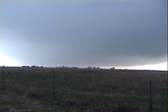
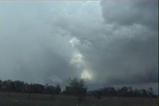
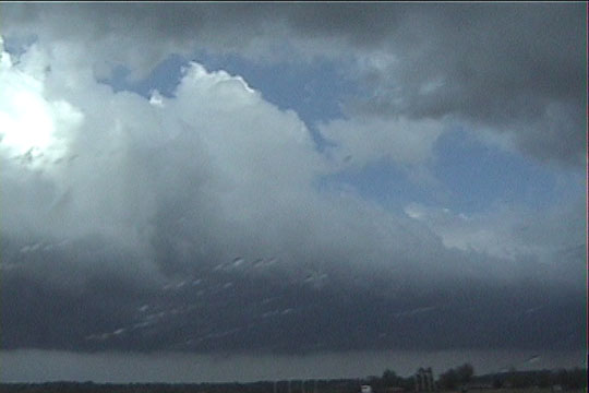
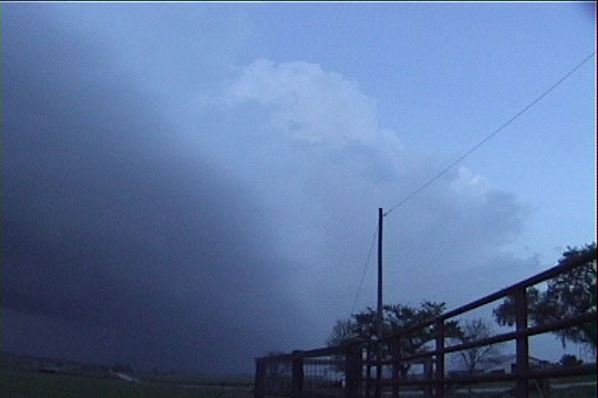
Looking SW - this is the base ahead of what would be better described as the RFD gust front.
Any rotation here may have been more anticyclonic.
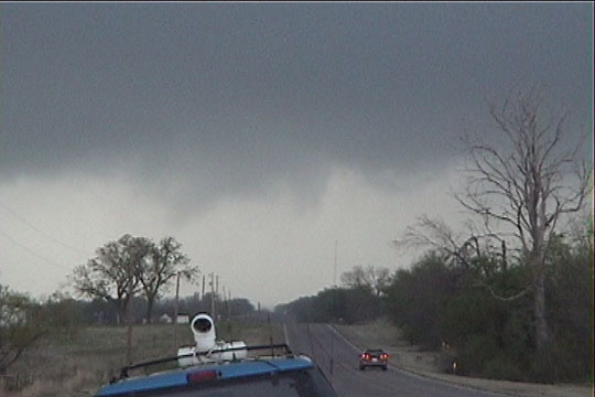
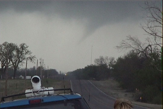
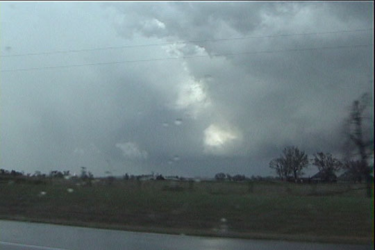
In just a couple minutes, the area to the north developed much tighter rotation. A funnel is now developing
over the trees on the left hand side of the picture.
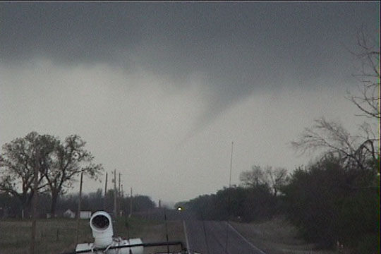
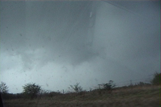
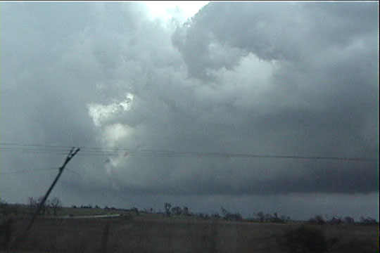
Funnel is a good 50-60% to the ground. Is it a tornado?
Orientation of the vortex lines (the funnel) suggest the vortex lines probably end at the ground,
meaning the circulation is in contact with the ground. However, is the circulation strong enough to cause damage? If so,
this is a tornado. This item was reported as a tornado.
About a minute later, the funnel has mostly dissipated.
Road options then forced us to take a long detour to the east-southeast as the storm tracked northeast.
This afforded us a view of the storm structure from the south. We crossed a boundary as we left the eastern flank of
the storm, and our winds switched from E to strong SE. The temperature and dewpoint increased a few degrees.
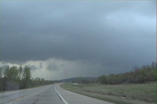
Upon our return back north, we were greeted by this view. The storm was moving pretty fast, so
we were unable to get back north in front of it. Rather, we are looking at wet RFD in front of us.
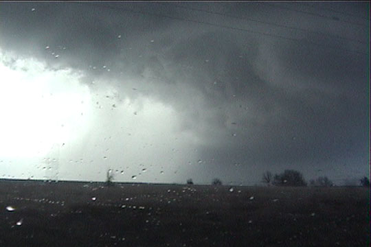
After another top speed east-north jog, we came up to the storm again in Dewey, OK. Again, the
mesocyclone crossed the road just a couple miles in front of us. We were unable to gain any ground. A tornado
is on the ground at this point, doing damage, probably just to the right of the road, about 4 miles ahead.
Nice RFD cut visible on the storm a few minutes later, looking ENE. To the right is a
substantial flanking line. Just to the left of the sun-illuminated clouds is the forward point of the RFD. Just to
the left of that *might* (I repeat, *might*) be the faint outline of the rain-wrapped tornado. On the far left is core,
about to wrap around this area entirely.
Here's the same view just a few seconds later, looking right down the damage path, toward what caused
the damage.
More damage
Rain has now wrapped around the mesocylone, and it is no longer visible. To the right is the RFD
gust front and substantial flanking line.
Tail end of the flanking line, looking SSW.
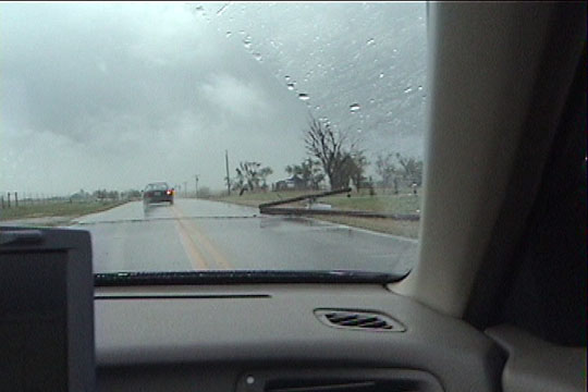
Power lines down between Copan and Wann.
Coming around the storm again, looking north. Al Pietrycha saw a tornado here just
seconds before this video capture was taken.
A few minutes later, heading north into South Coffeyville. Gee, this view looks really familiar!
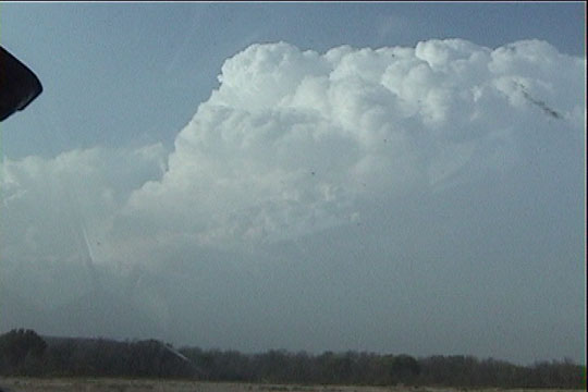
Looking back to our west, a new storm has developed. Our storm is still directly north of us.
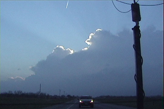
At sunset, after never making it around to the forward flank of the storm, we decided to
call it quits. Here's one last shot of the whole storm as we bid it adieu. Base and collar are on lower left, and
the updraft is on the upper right. Note the highly sheared structure.