July 7, 2023 Storms
Southern Colorado
We started a little later today than yesterday. After our late arrival last evening, we took a little more time to sleep in and to allow the driver to rest.
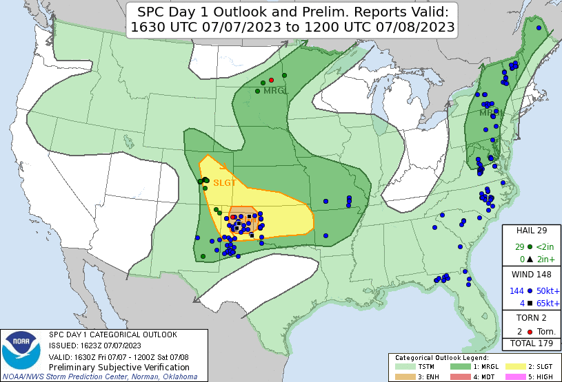 |
| SPC Day 1 outlook and storm reports. |
It was another enhanced risk day. The shear looked a little stronger than yesterday, so any storms would be supercellular. Convection-allowing models showed storms developing along the Front Range mostly south of Denver and also along the Raton Mesa. Our closest route back to the mountains took us through Trinidad. From there, we drove northward to Pueblo. From there, some storms developed just to our northeast, but they were not very well organized. Nonetheless, we wanted to be on them when they did get organized, so we drove east from Pueblo. This took us east to Ordway. Once we got there, our target storm mostly dissipated.
We saw some new activity develop closer to Walsenburg and began to make our way in that direction. When we arrived at this new development, it certainly was not supercellular! Something was wrong about today. The shear was great, but the instability really wasn't there. The sky looked a little too cold and humid. We played with storms whenever we had the chance, but the best we saw was some heavy rain.
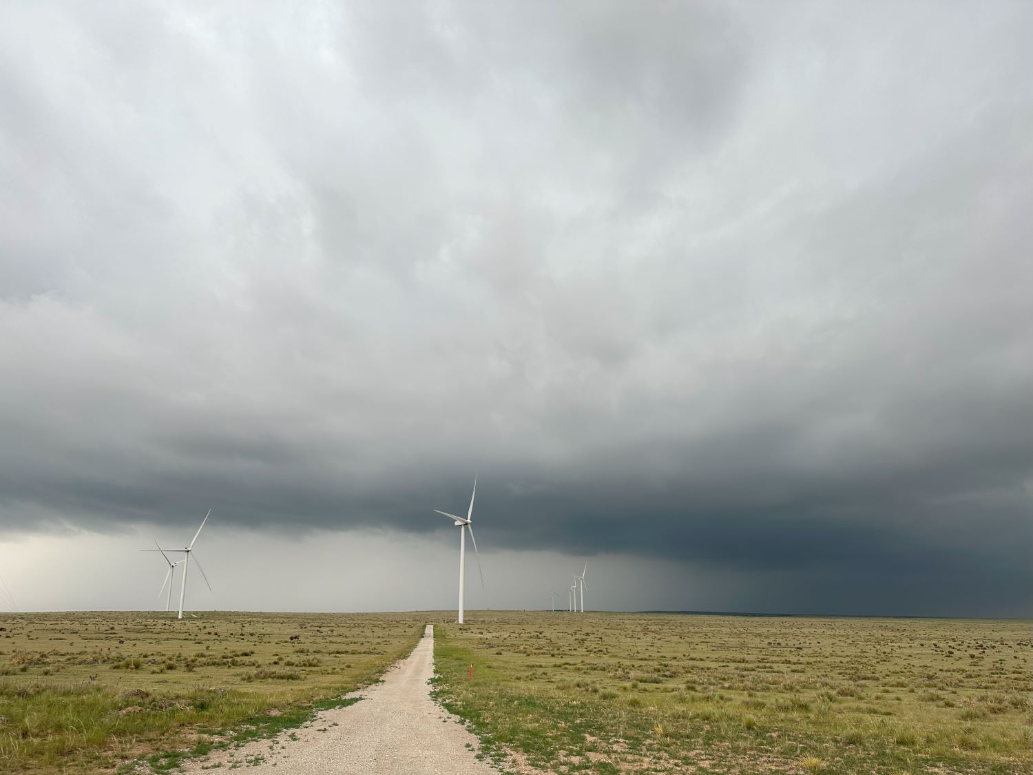 |
| Our first strong storm of the day near Rattlesnake Butte. |
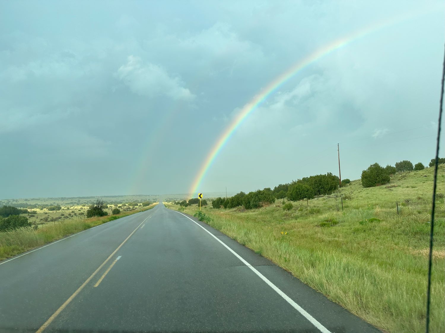 |
| Here's a nice rainbow on our drive back northeast to Fowler. |
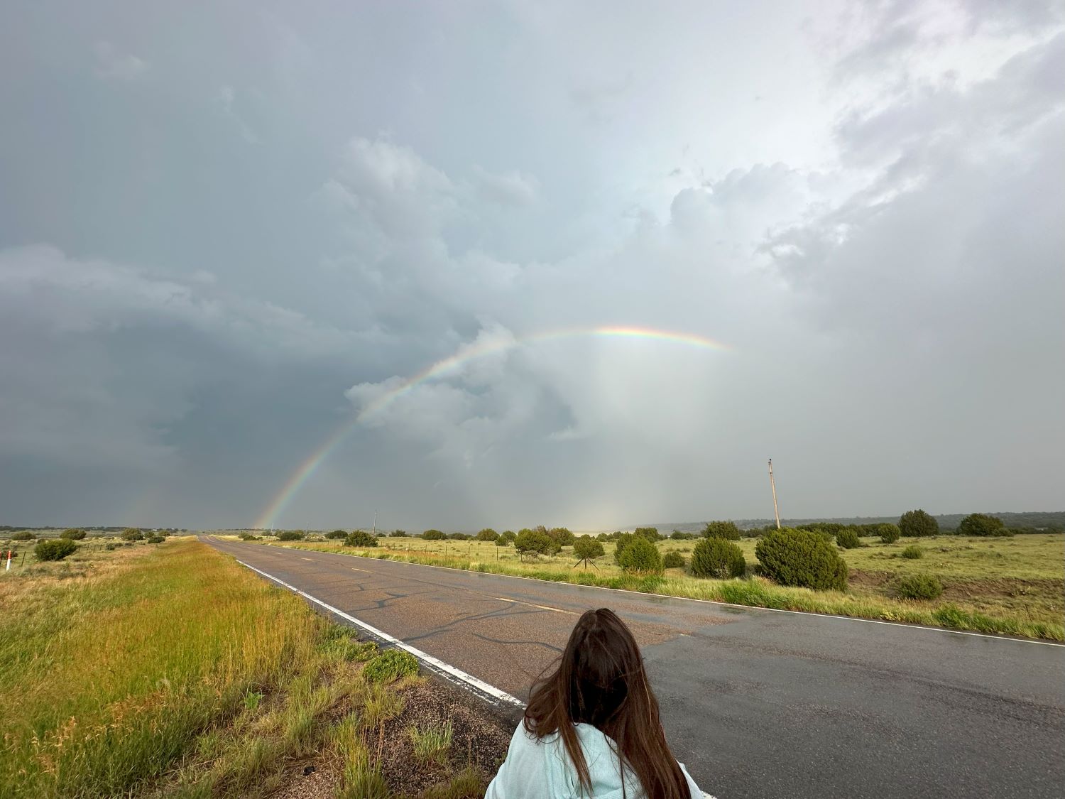 |
| A wider view of the rainbow. |
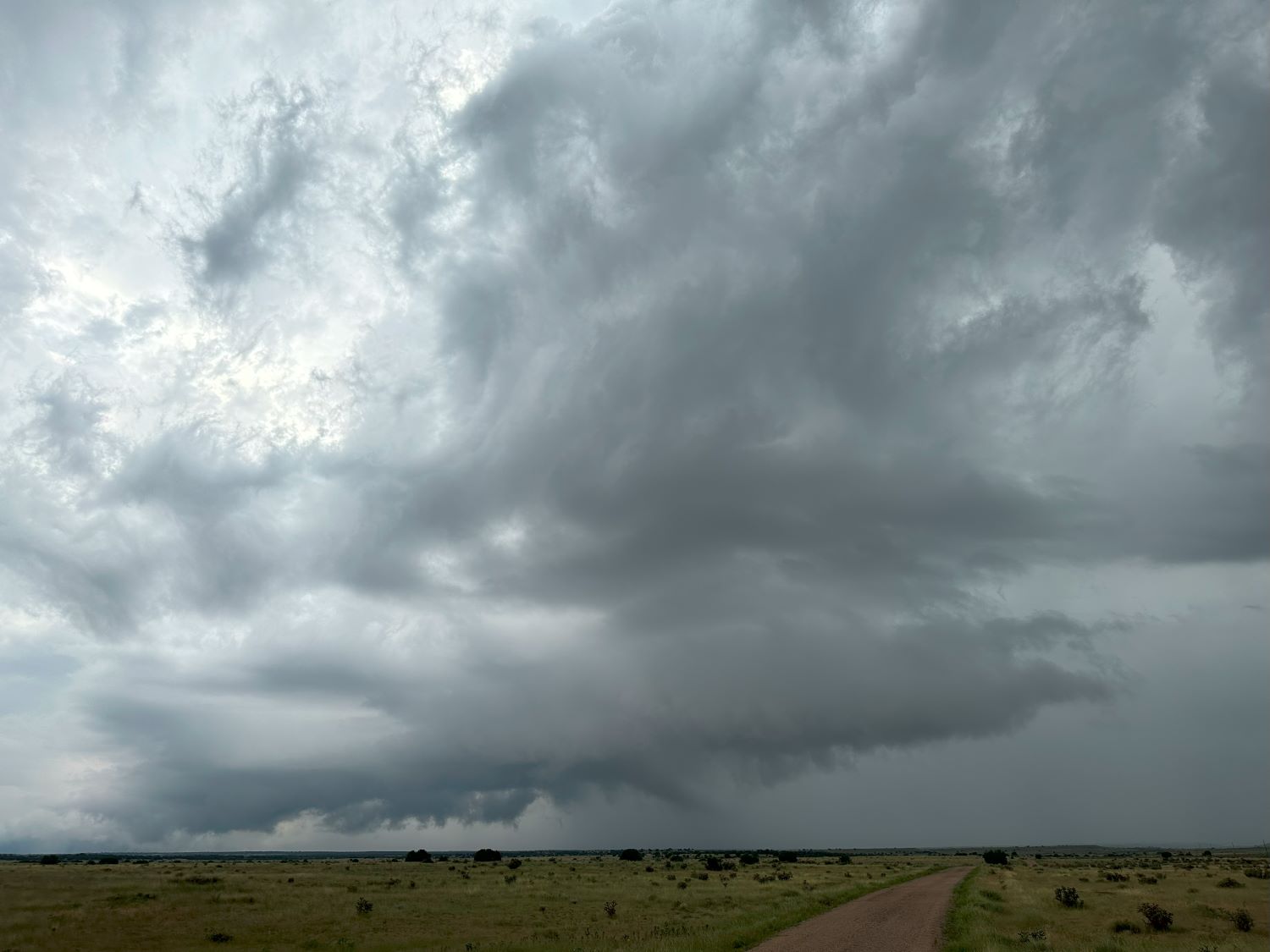 |
| This is our best updraft base of the day. |
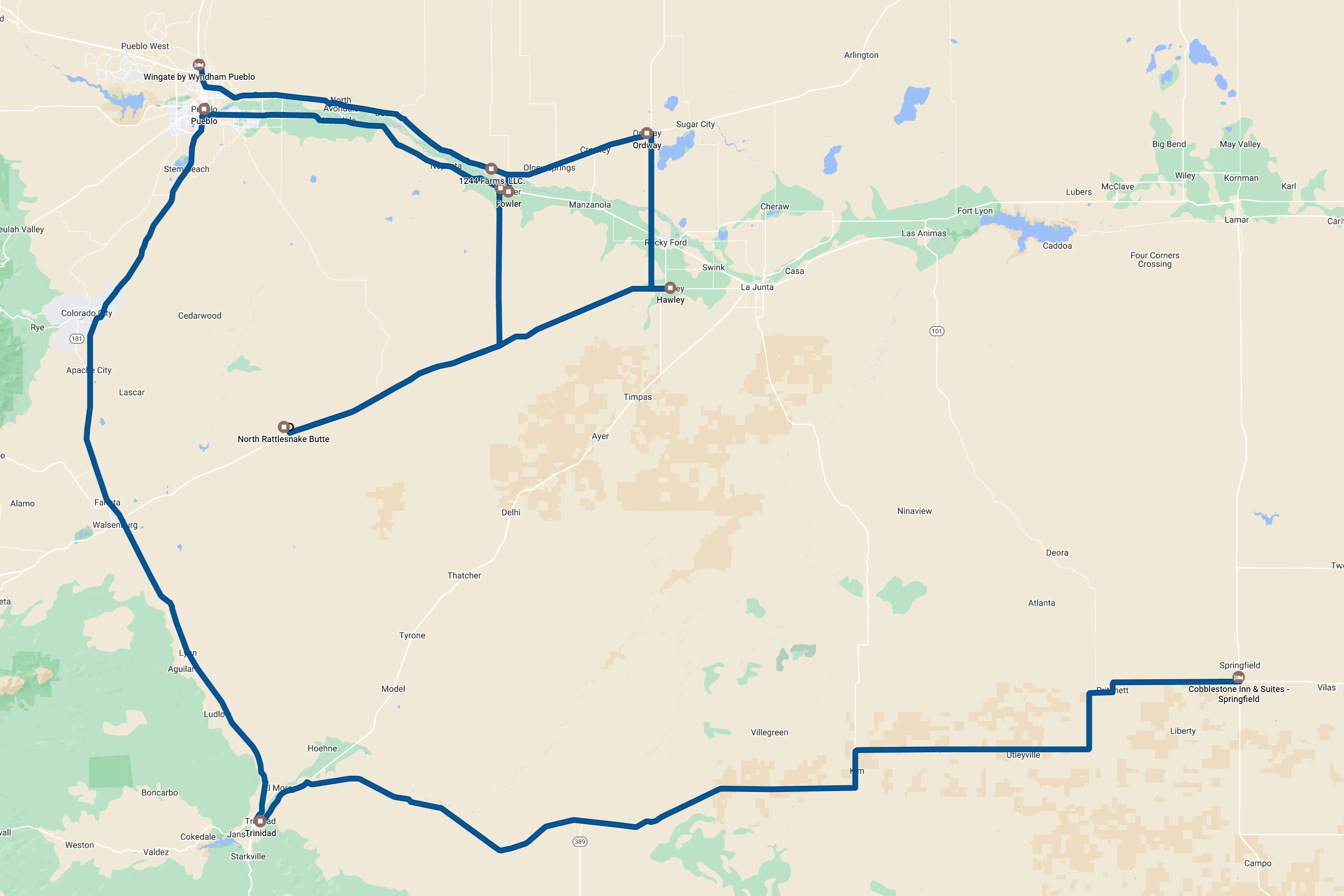 |
| The chase route. At least 357 miles. |
Back to Storm Chases | Home