June 18, 2024 Tornado-Warned Storms
Itasca County
A warm, humid environment with really low LCLs and some decent low-level shear motivated some tornado warnings in Itasca County. The low levels were slightly too stable for tornadoes to occur, but the National Weather Service was wise to put out tornado warnings for these because these are the sorts of environments that seem to produce the most tornadoes in Minnesota in recent years.
I was working at home, so I was a bit reluctant to charge out after the first storms that came close. The first warnings were issued for the Deer River area. That cell was a bit too far west for me to catch. I could have caught it had I left home earlier. Soon, additional tornado warnings were issued for storms coming closer to Grand Rapids. These were close enough that I decided to head out for a quick look.
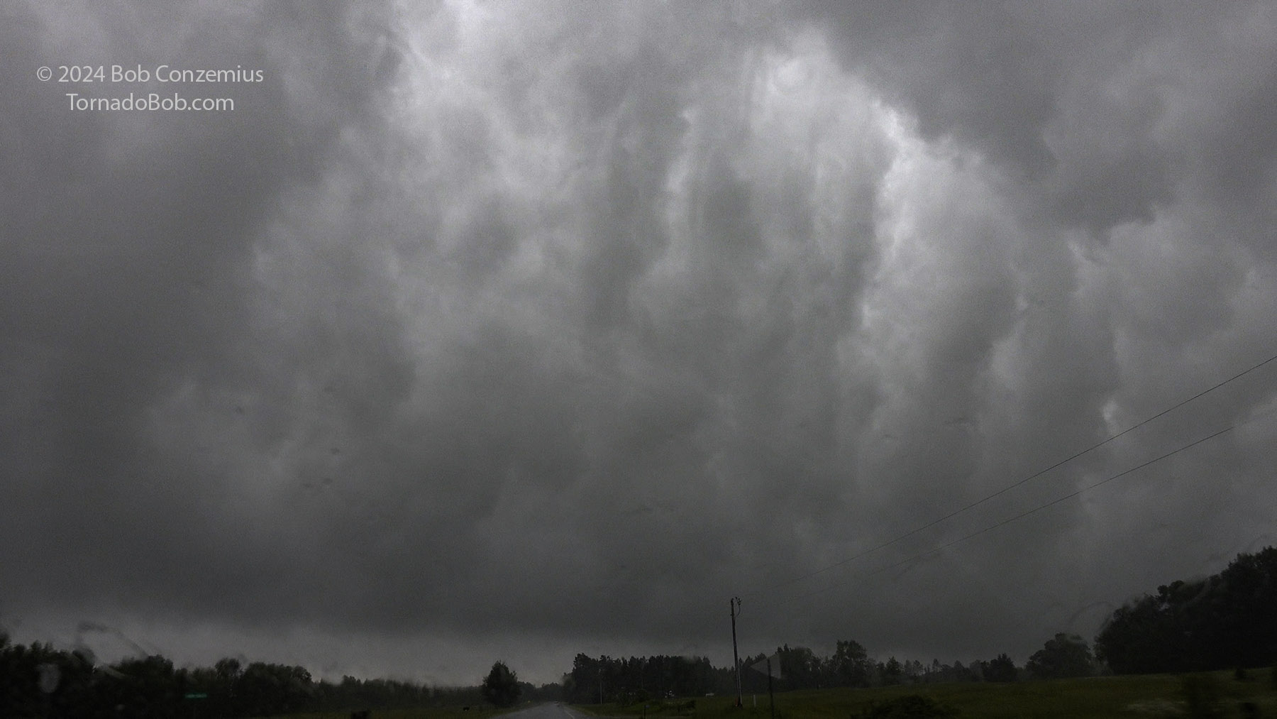
I drove out to Grand Itasca Clinic and Hospital to get a larger view of the sky. However, the low levels looked just a little bit stable. I did not see any interesting action areas, and although there was some variation in brightness and darkness as well as some minor undulations in the cloud bases, the low levels looked a little too stable for tornadoes. I saw no areas of rotation at cloud base.
I then drove east and southeast on River Road to stay ahead of the line of storms. Soon, I came upon a nice shelf cloud, and I took some still captures of it from video to post here.
I stayed with the leading edge down to about Jacobson. I pulled over in a clearing at the town hall to view the shelf cloud moving away to my east and then drove back home.
This event was one of the biggest rainfall events of my time in Grand Rapids. I ended up with 4.11" at home. This would be the final significant rain event of the summer as we quickly went into a drought pattern after this rainfall. I would not see another 1"+ rainfall until November.
 |
|---|
| The whale's mouth underside of a shelf cloud. |
Back to Storm Chases | Home