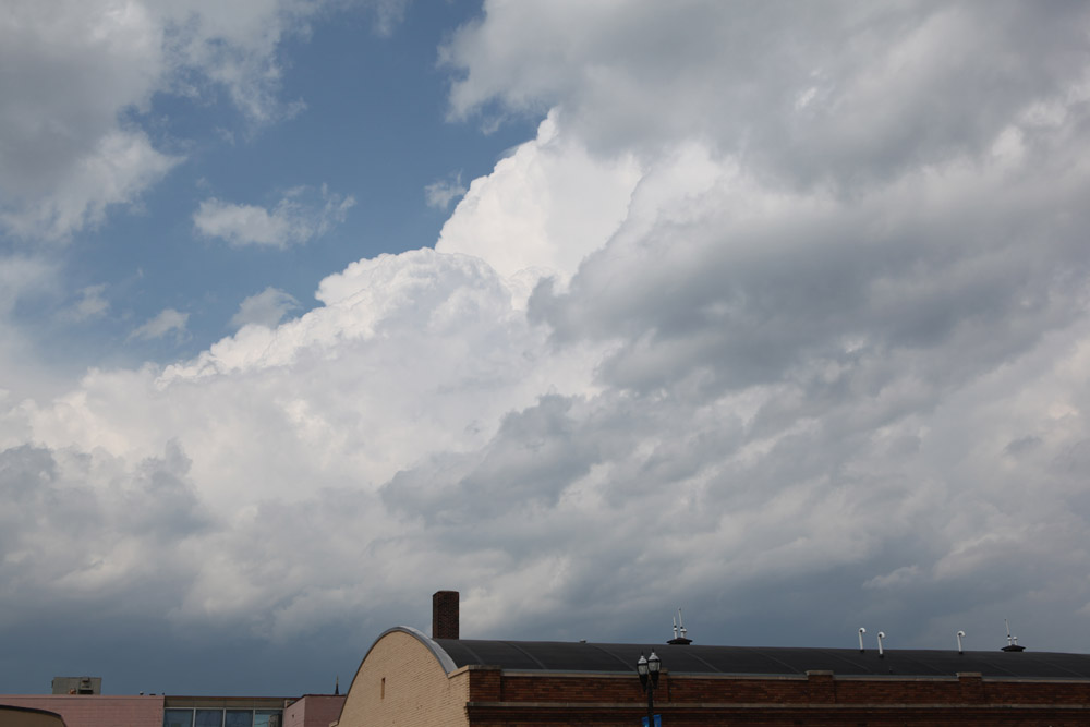
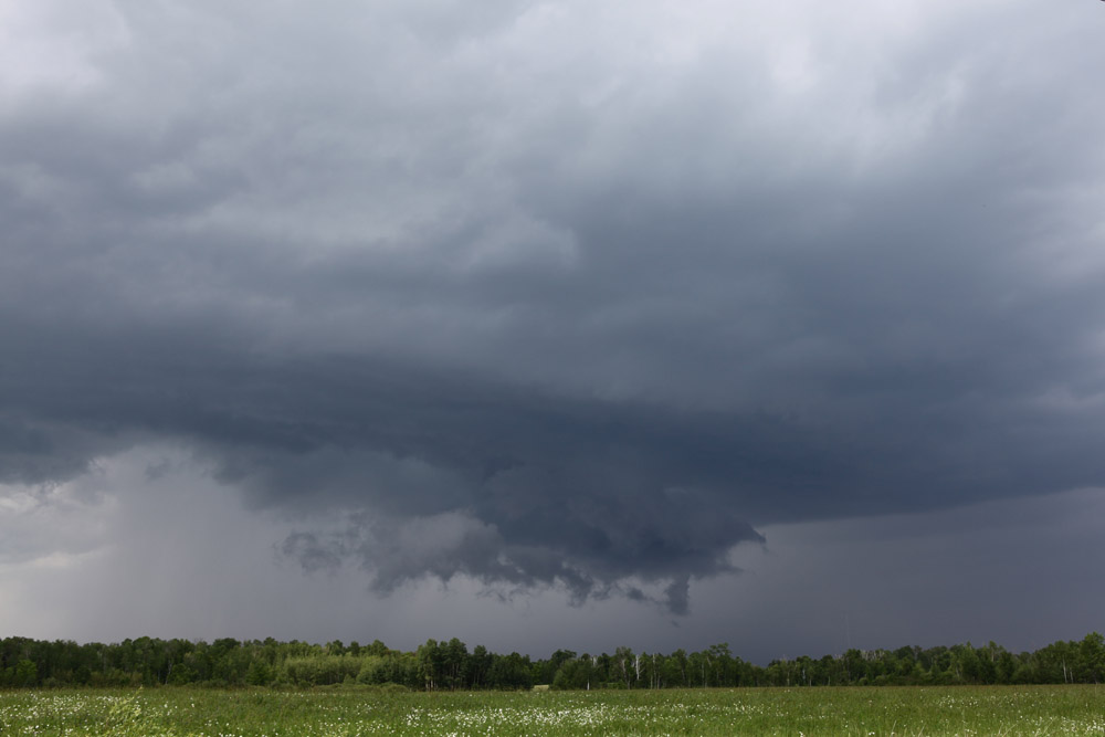
Storm just north of Grand Rapids at 3:19 PM.
A storm developed just north of Grand Rapids and quickly became a mini-supercell. It moved southeast and finally lost its identity several hours later in northwestern Wisconsin. I was not able to take too many good shots of it due to trees and bad road options (County Road 10 was closed southeast of Bovey) I followed the storm to near Swan River, then waited for a trailing storm, then went home.
Storm just north of Grand Rapids at 3:19 PM.
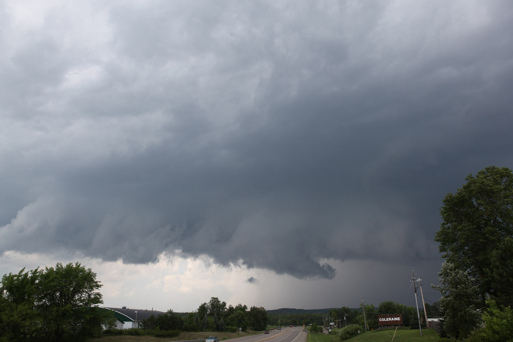
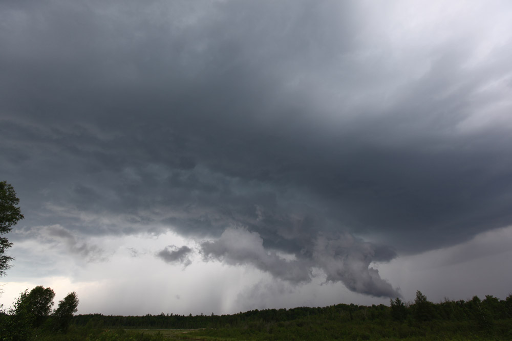
Coming into Coleraine at 6:29 looking northeast at the rear flank updraft with wall cloud visible.
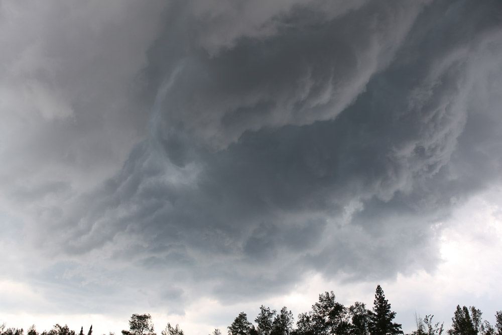
Just east of Bovey, looking up at the RFD cut. I lost visibility after this due to road closures.
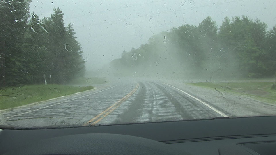
Hail fog just west of County 12 and MN 65 near Goodland.
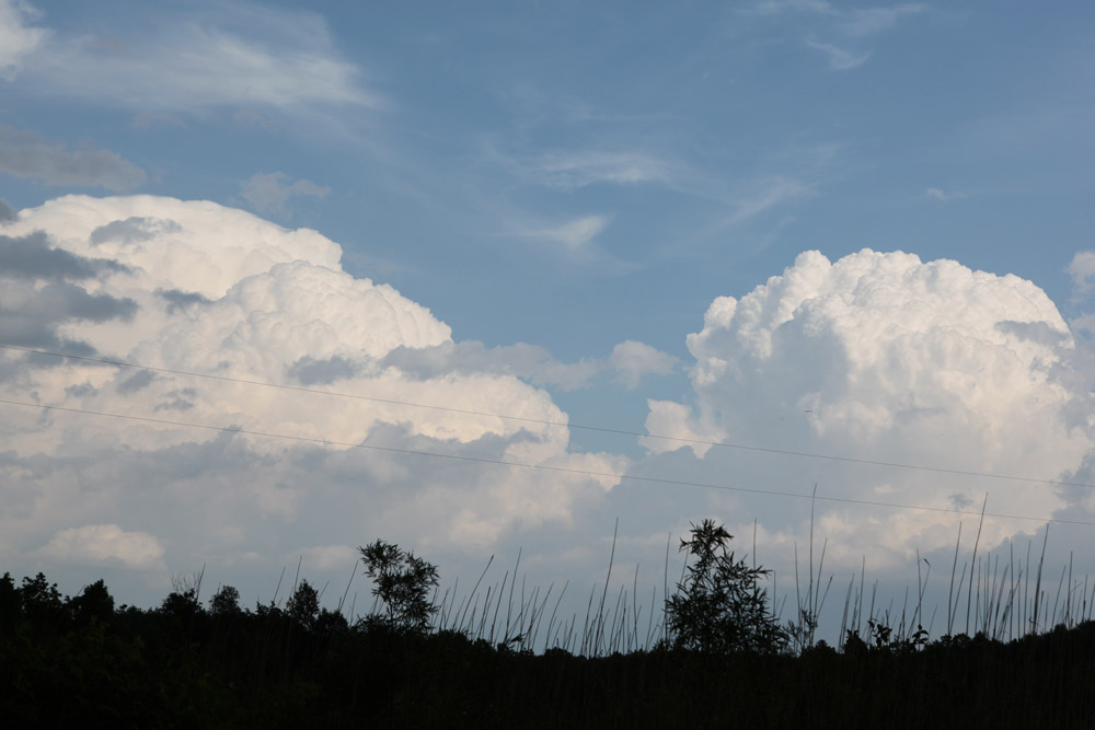
Trailing storm near Goodland, MN at 5:00 PM.
A few miles east of Goodland at 5:06 PM.
Same location, looking east at the first storm.