July 8, 2022 Storms
Southeastern Wyoming
This was the last chase day of Tempest Tour 9. As had been the case the rest of the week, the risk for severe storms was concentrated in Montana, but that was out of range for our tour. We needed to be back in Denver by midday the following day. Models did show some storms developing in southeastern Montana and moving into the Nebraska panhandle late in the day, so we decided to drive to that area to await storm development. From the Nebraska panhandle, we could easily make it back to Denver in a few hours. Hotels looked to be pretty booked as it was a Friday evening, so I made a guess where we would be by the end of the day and had Kim book a hotel for us in Sidney, Nebraska. I wanted Chadron as a target city, but hotels there were full there.
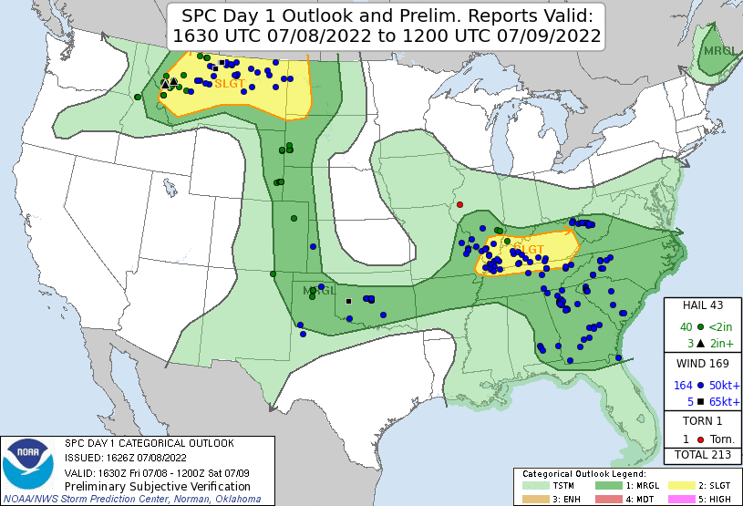 |
| SPC Day 1 outlook. |
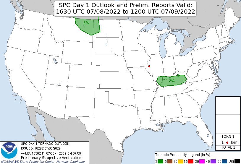 |
| SPC Day 1 outlook for tornadoes. |
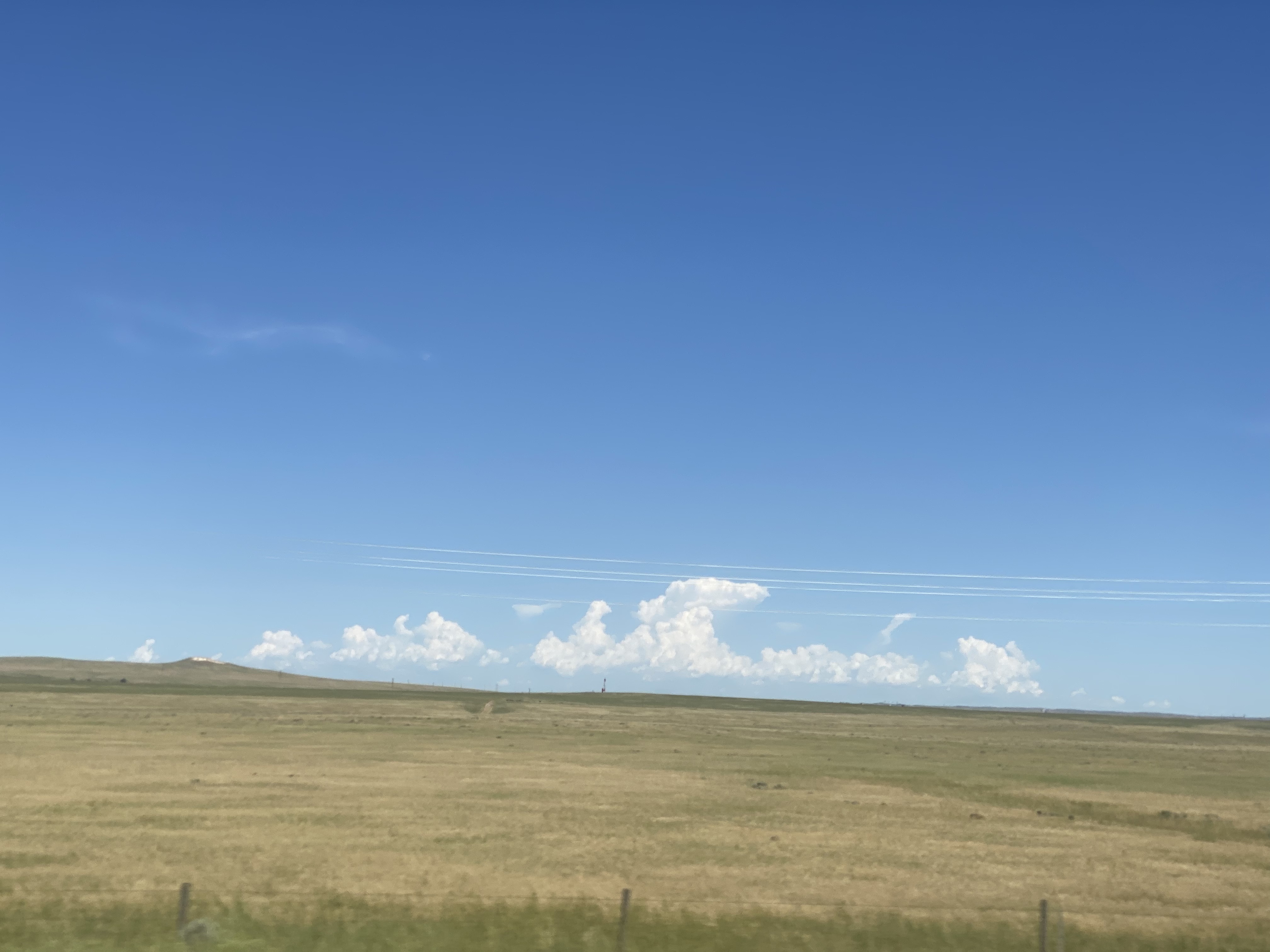
As it turns out, the storms moved a bit more slowly than I anticipated, and we finished more than an hour west of Sidney. We had storms develop northwest of Douglas, Wyoming (in fact, we were in Douglas when I had rooms booked). We got gasoline in Douglas, and moved east to follow the storms. We had a decent right-mover, but it weakened, and the left split from the storm became dominant. For some reason, that left-mover dominance is a common theme for me in eastern Wyoming. It would have been better had we stayed at Wright and let that storm come to us, but it wasn't a big deal since the storms were not very strong anyway. I had considered the Black Hills and Rapid City as a target area, but the convection-allowing models did not show much developing there, and it's hard to follow a storm through the Black Hills anyway. Well, the strongest and most interesting storms were over the Black Hills anyway, and they had an interesting shape on radar. They were also severe-warned and produced 1.5" hail, but they were struggling a bit and eventually dissipated.
 |
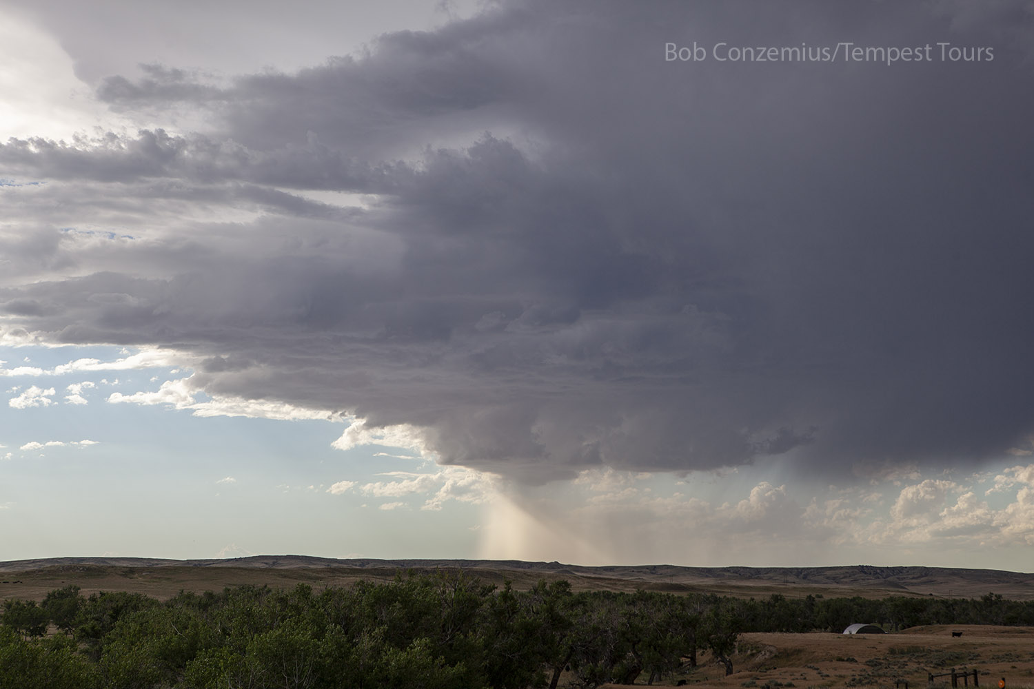
| Cells developing over the Black Hills. |
Our storms held together, for the most part, but stayed below severe limits. We were heading east toward Lusk, but there was a north road at Manville that we could take toward Lance Creek and get a closer look at the storms. We stopped at Lance Creek for a while and took a bunch of pictures and a time lapse or two. Our right split storm slowly weakened while we were there, and as we drove back east to U.S. 18, it dissipated completely, leaving just the left split in the distance. From there, we made the journey back to Sidney, stopping near Morrill, Nebraska to shoot sunset pictures. Kim had booked rooms at the Sidney Inn. It was a nice little, old-fashioned place!
 |
| Our storm near Lance Creek, Wyoming. |
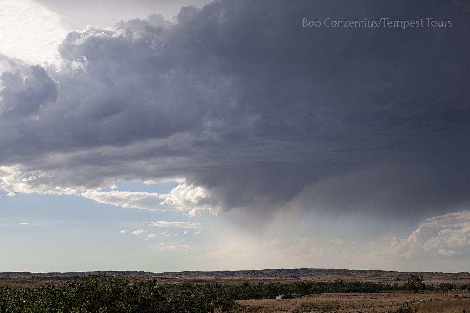 |
| It almost looks like a funnel forming as the base shrank. |
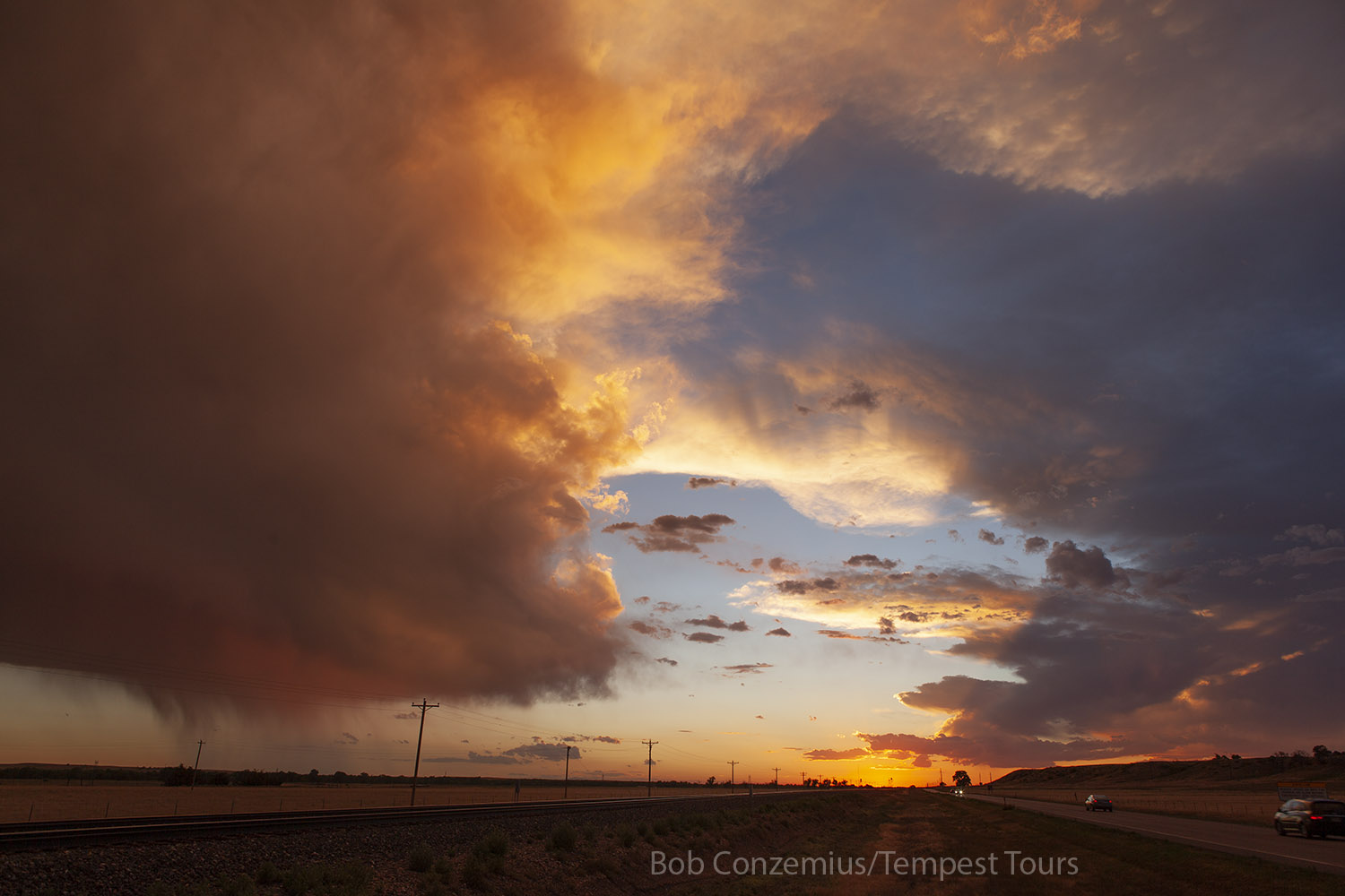 |
| Sunset near Morrill, Nebraska. |
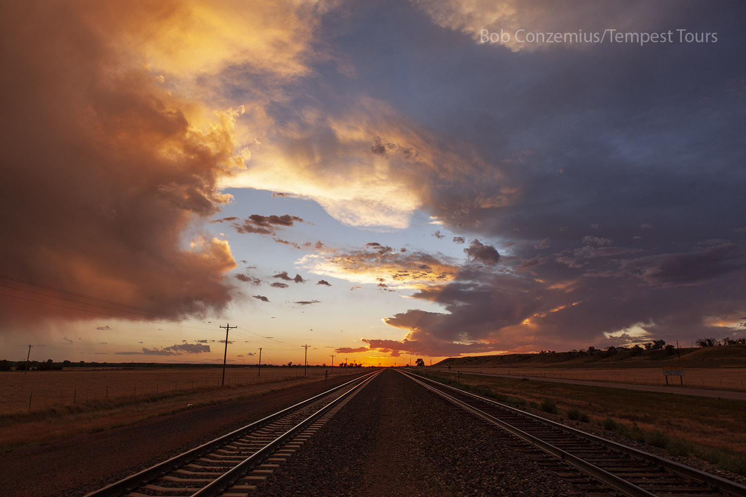 |
| Sunset reflects off the railroad tracks. |
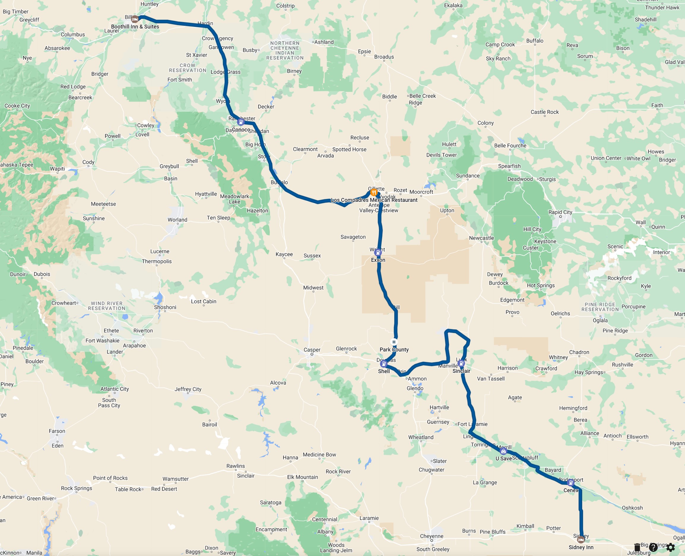 |
| Our route for the day. |
Back to Storm Chases | Home