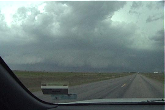
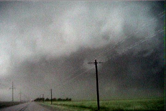
Target storm. This storm already has a gust front ahead of it.
The shear was increasing today in northwesterly flow aloft. The main tornado show was actually in the Ohio River Valley, but conditions were also ripe for severe storms in the plains as well. We drove north with a target somewhere in Kansas. We arrived too late to see the tornadoes with the initial development in west-central Kansas. By the time we arrived, the storms had developed an incredible cold pool, and the whole system consolidated into a line with embedded supercells. This was a derecho-producing MCS. After the system developed its incredible outflow, the cloud of dust at its leading edge earned this system the name "haboob".
Target storm. This storm already has a gust front ahead of it.
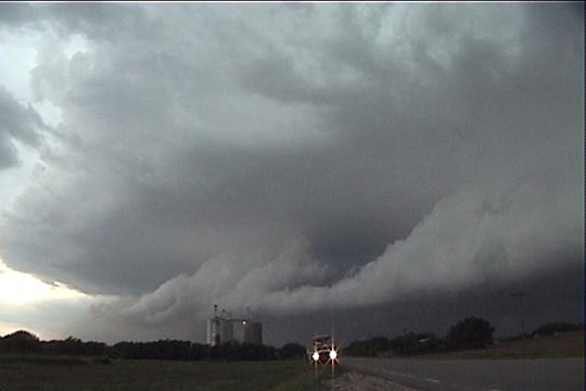
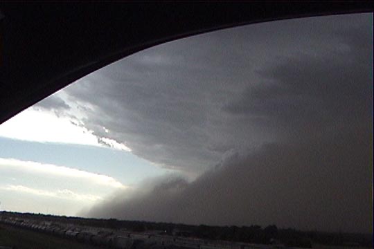
Just east of Pierceville (SE of Garden City) watching shelf cloud under mesocyclone.
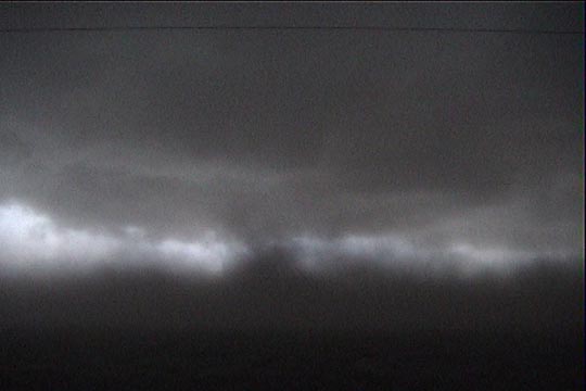
Still east of Pierceville, a dust cloud develops under the shelf cloud.
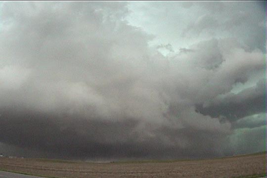
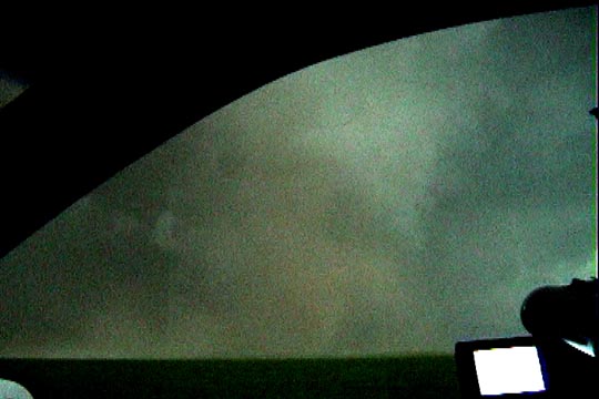
Southwest of Pierceville, a second shelf cloud/meso behind the gust front.
Same as above (contrast enhanced).
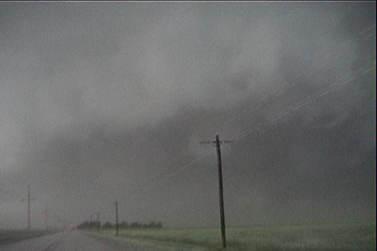
Rotating column of dust attached to cloud base. Possible gustnado, although the translational
speed may have been greater than the rotational speed.
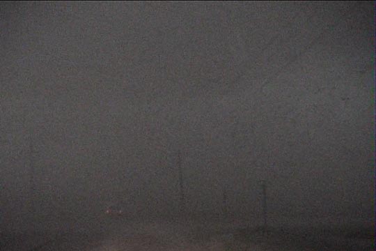
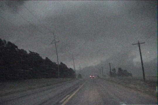
After this second shelf/meso passed, winds really picked up out of the north. We now had
occasional difficultly seeing the road in front of us.
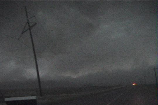
Behind the gust front in hurricane-force wind.
Power poles are leaning over.
Power poles are down.
Coming into Liberal, we barely make it ahead of the gust front for just a minute or two before we stop for the night.
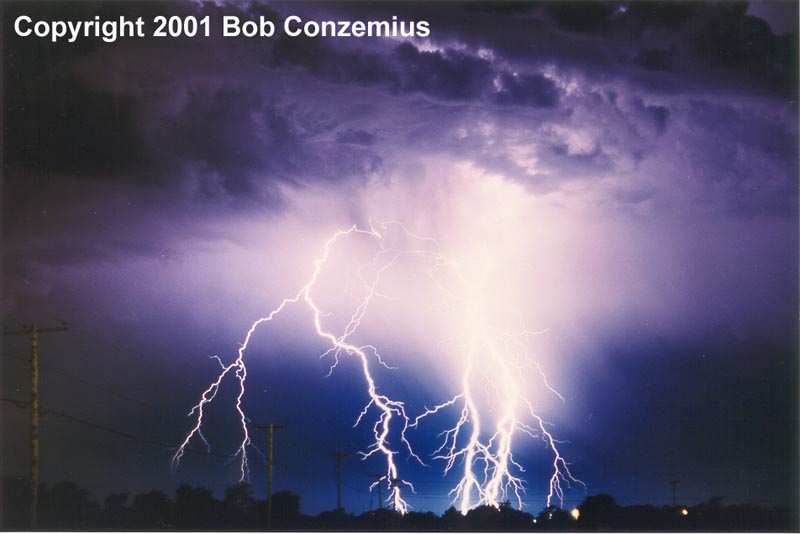
Lightning from a smaller storm after dark in Liberal.
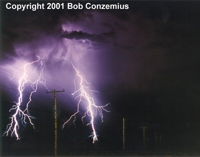
Lightning in Liberal.