MN/IA "Minimal" Supercell
July 27, 2002
Scott and I left the Twin Cities to chase early afternoon convection approaching from the
northwest. As soon as we approached the storms, they completely fell apart, but a rather lame-
looking shelf cloud and some weak updrafts persisted for a couple hours. We eventually worked
our way eastward to near Montgomery, MN, then to I-35, where we met Shaun Kelly and Brigid. Shaun
saw some cells trying to develop between Mankato and Albert Lea on radar images he was able
to download through his cell phone, so we decided to proceed a bit further south to Faribault, where
we stopped at the airport to look at weather data at their MN-WAS terminal. Indeed, there were
some small, struggling cells near Mankato and near Blue Earth. We were hesitant to get suckered so
quickly after something that might well die, but we also realized that if we decided not to go
after them, and they *did* develop, we would be kicking ourselves pretty hard. (In addition, it was
Saturday). The sky soon cleared to reveal these new storms to our south, and the sight of healthy updrafts
was enough to entice us southward.
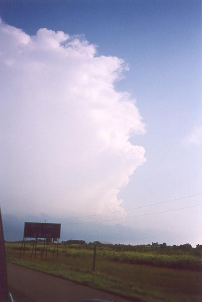
New storm to our south. Storm is between Blue Earth and Albert Lea.
To our delight, a severe thunderstorm warning was soon issued for our storm. The warning text
indicated the storm was about 12 miles west of I-35, west-soutwest of Albert Lea, and it was
moving eastward at only 15 mph!!! This matched our visual observations, which did not indicate
very rapid movement to this backbuilding storm.
We dropped south and lost visibility in the moderate core with light hail. We also encountered
some road construction that slowed us down a bit. Nevertheless, we soon emerged from the core
expecting to see the updraft base just to our west.
It was not. Instead, with the storm having decided to accelerate to 45 mph, the updraft was
to our east. It was now stern-chase time! To put additional butterflies into our stomachs, NWS
soon issued a tornado warning on our storm, with rapid rotation detected near Lyle, MN. We
tried for an hour or so to make it around the wet RFD to the inflow notch on the east side of
the storm, but with the movement of the storm, and towns to slow us down every few miles, it
was just not possible. Here are some shots of the storm from behind:
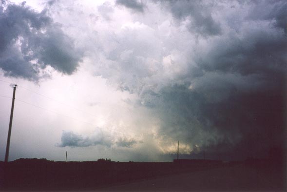
Wide view of the rear of the storm as we approached it from the west-southwest.
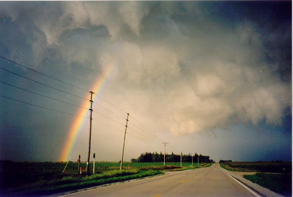
Rainbow and core of our storm to the northeast. We are under the RFD and
behind the shelf cloud on the south flank of the storm.
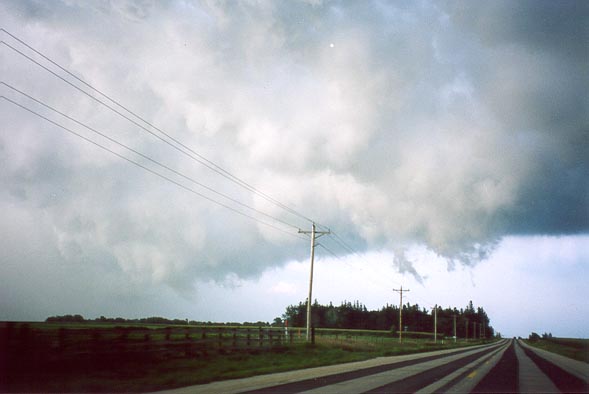
Suspicious updraft fingers. Some of these rotated slightly, but they were
not a significant threat.
2002 | All Storm Chases | TornadoBob Home