July 3, 2024 Supercell
Central Nebraska
There was a slight risk of severe storms from northeastern Wyoming into northwestern Kansas. Within this area was a 5% tornado risk area in western Nebraska. This looked good enough for me, so we drove westbound on I-80 and then exited at North Platte into the Sand Hills toward Mullen.
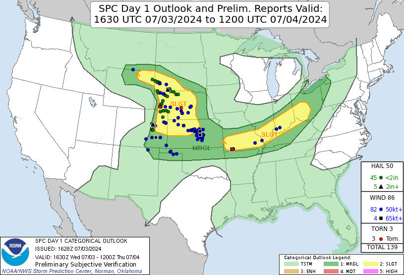 |
| SPC Day 1 outlook. |
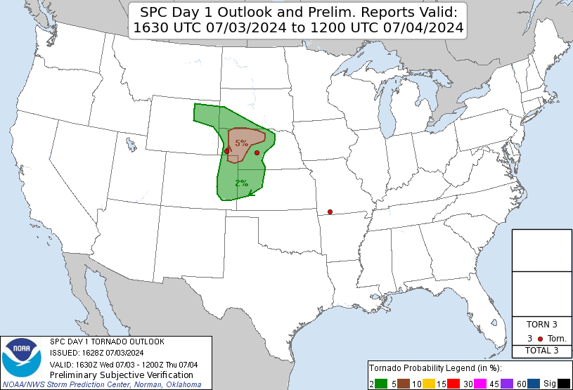 |
| SPC Day 1 outlook for tornadoes. |
We had some storms developing to our north through west and southwest. I liked the low-level shear a bit better directly to the north of Mullen and targeted an area there for supercellular development. Temperature-dewpoint spreads were also lower. The instability axis was a bit narrow, however, and storms moving to the east had a chance of running out of that instability.
Our first storm was visible as we drove north out of Mullen. We drove north on 97 far enough to get a good look at the updraft base of the storm. It was pretty flat, but as we watched, a minor RFD shape emerged in the base, and a slight wall cloud developed. It was turning into a Supercell
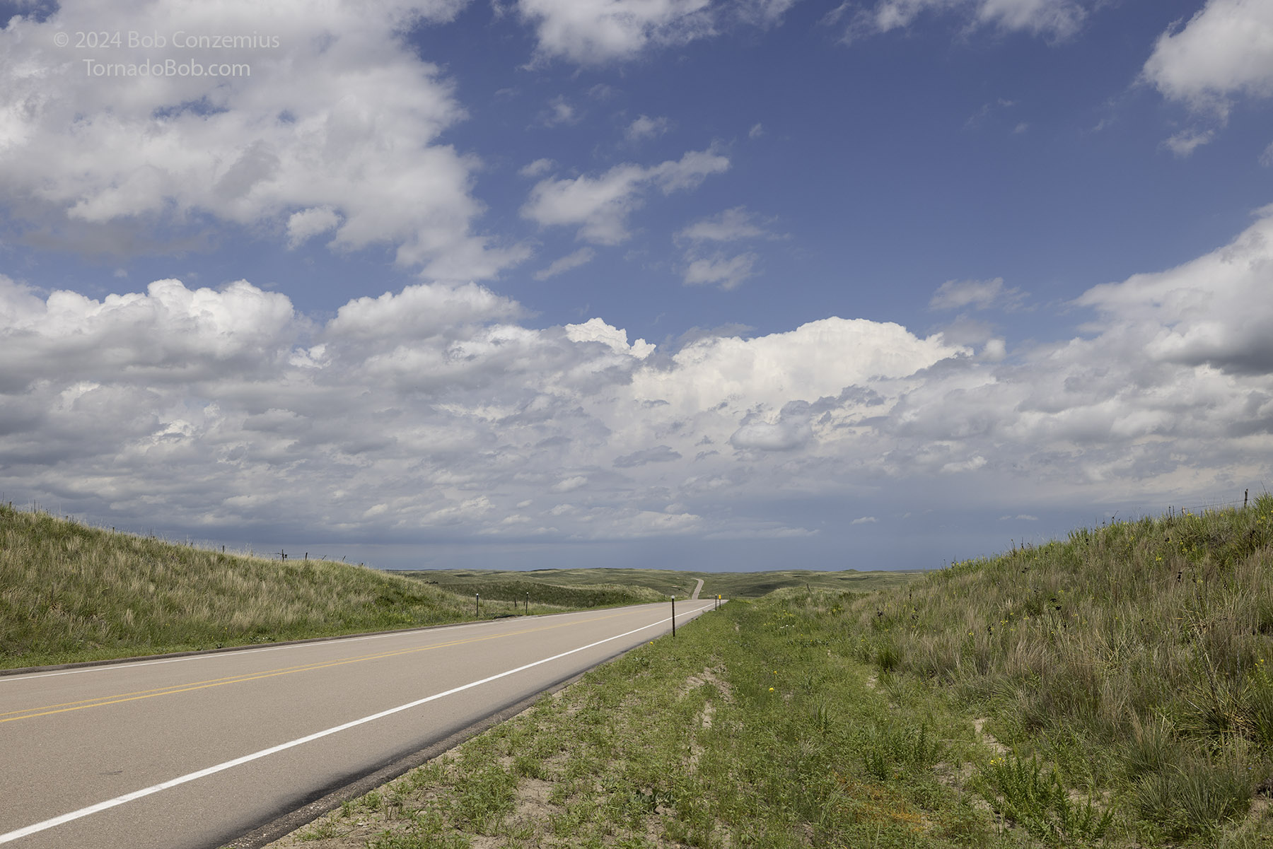 |
| Storms developing north of Mullen. |
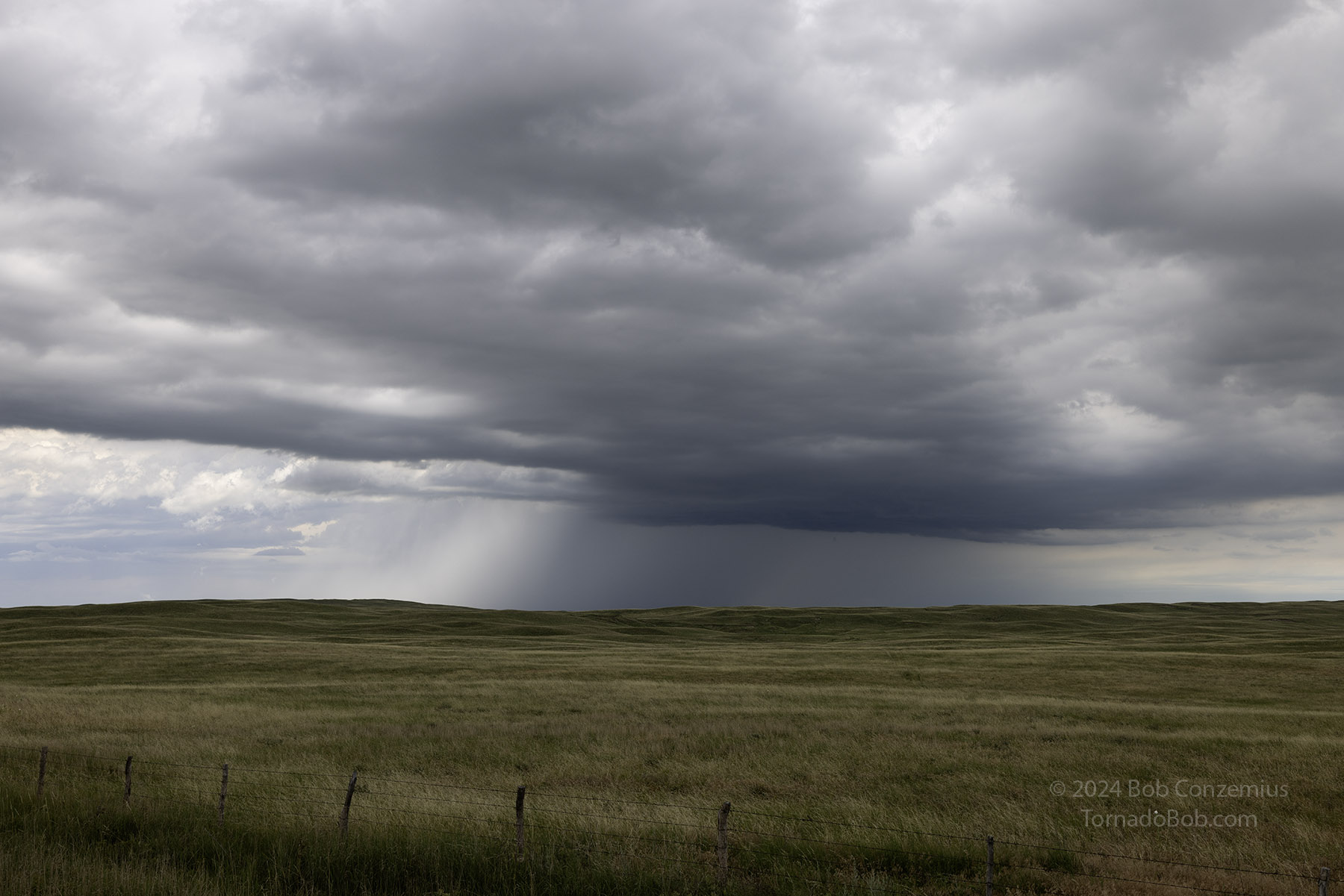 |
| The first storm after it crossed to our north and started moving away to the east. |
At this point, you might think the chase was going to go really well. Well, we were in the Sandhills, and there aren't many east-west road options. Since storms generally travel from east to west, this makes chasing in the Sand Hills rather challenging. In our case, the storm was perfectly positioned in the gap between east roads. We would have to drive about ten miles south, then east-southeast for a little more than an hour, then about 30 or 40 miles back north. That meant a couple hours away from the base. If we were really quick, we would have a chance to catch it briefly as it crossed U.S. 83 north of Thedford, but in either case, we would have to go all the way to Brewster then north on Highway 7 toward Ainsworth. We said a temporary goodbye to the storm and began the long journey to meet back up with it.
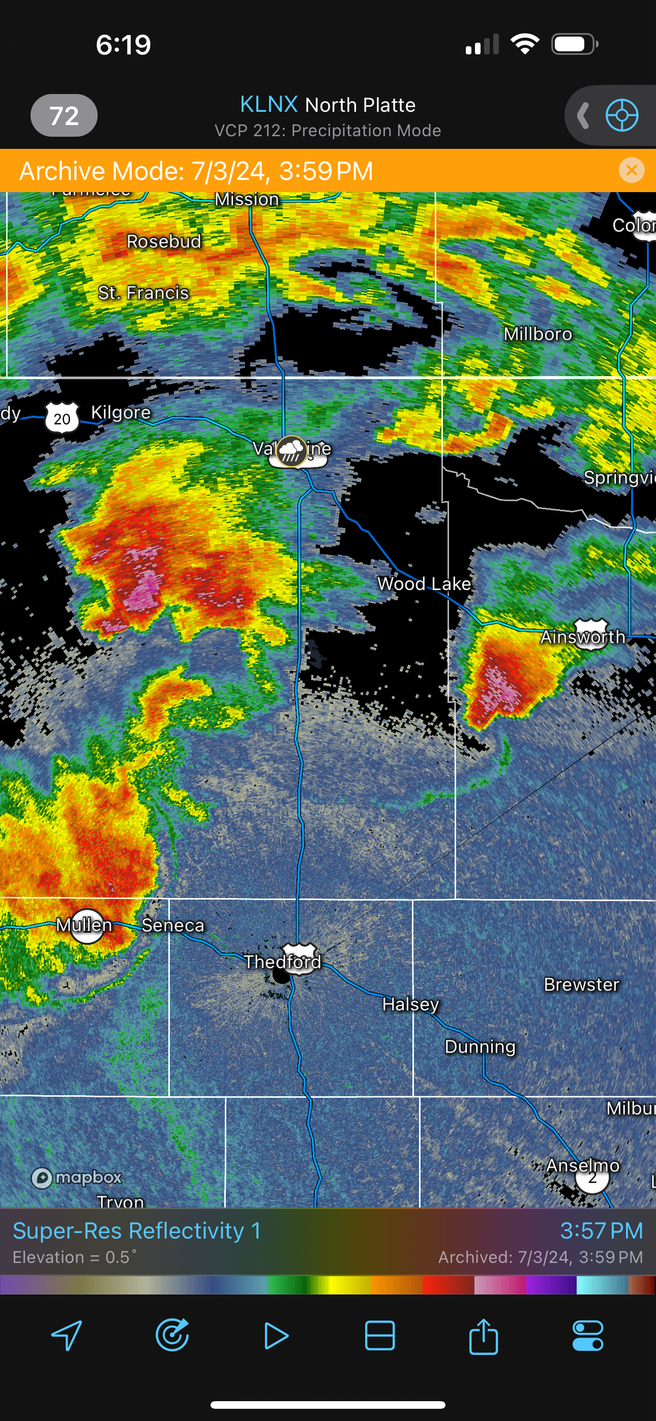 |
| Radar of our storm while it was still a supercell. |
During its movement across the roadless area, the supercell reached its peak intensity. I suspected it probably looked best sometime when it crossed U.S. 83 or shortly thereafter. By the time we got close to it again, it was starting to get a little smaller on radar, losing its hook and velocity signature. It was still going to be okay to look at. It would likely be in somewhat of an LP phase, but it was running out of instability.
Indeed, we caught an LP. It was a pretty decent sight, and the guests and I enjoyed taking pictures and timelapses. It gradually weakened as it passed to our north, but I wouldn't say it died completely.
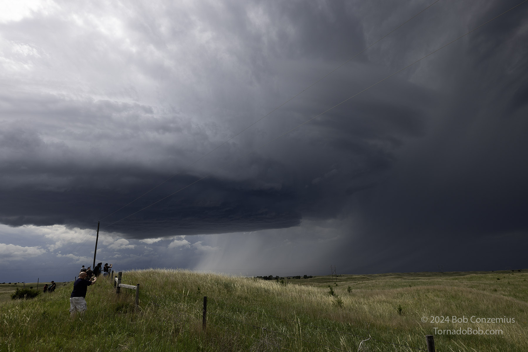 |
| Supercell when we finally got back onto it south of Ainsworth. |
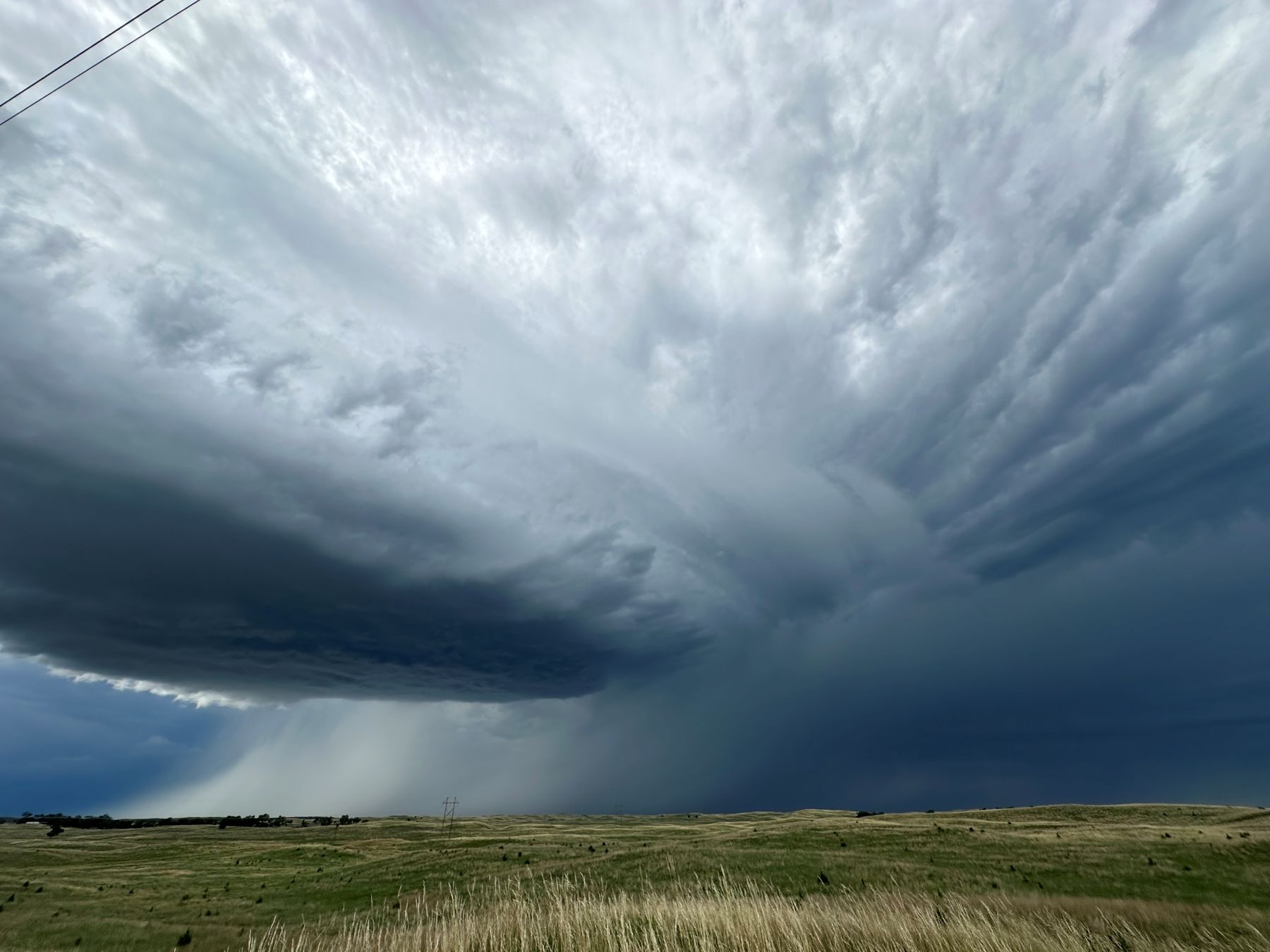 |
| Cell phone picture of the storm. |
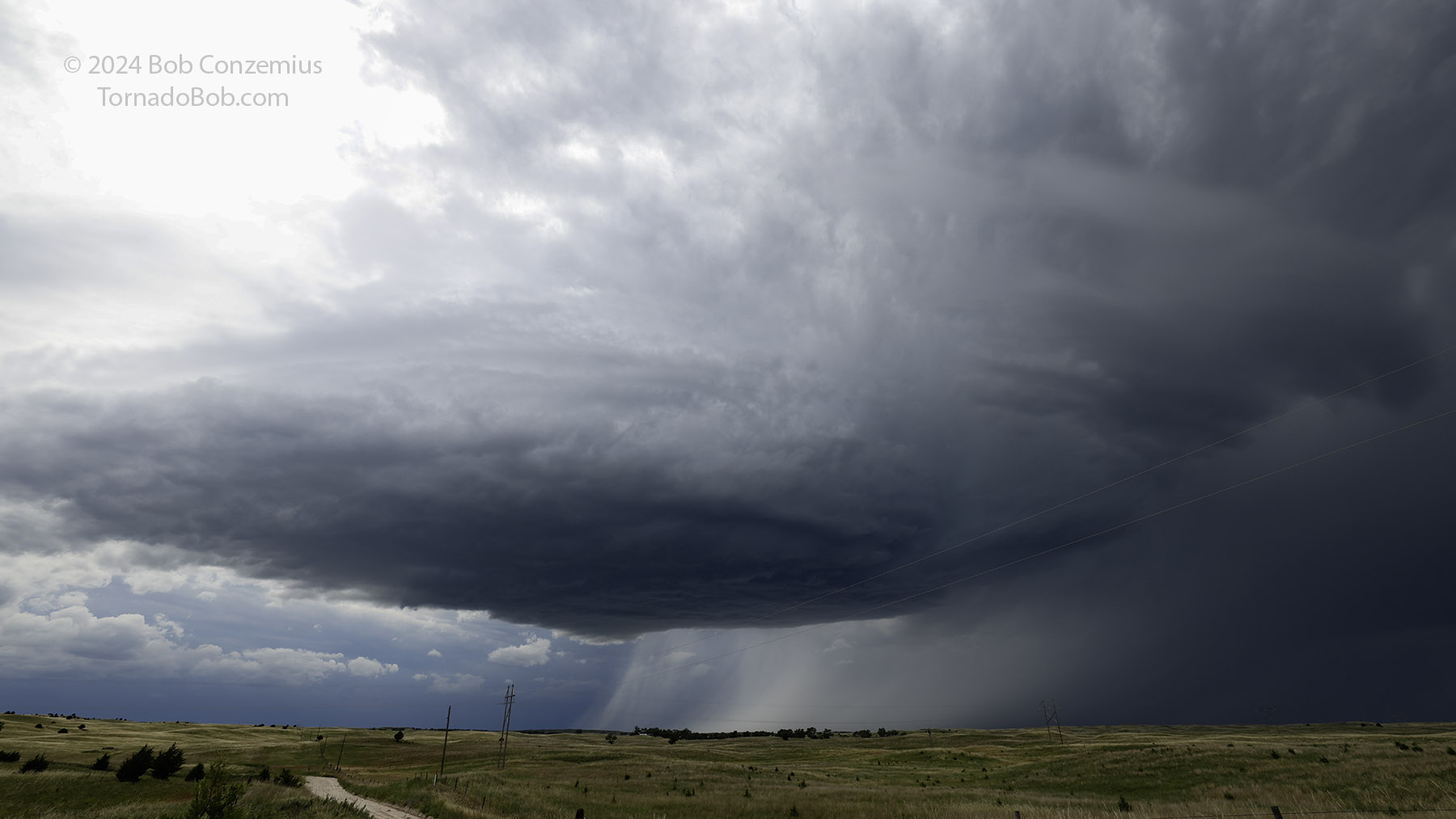 |
| Another shot with the good camera. |
Once we let the LP storm pass, we had more storms to our west, and these were congealing into a line. We decided to drive north towards Ainsworth where we could take a break and then look at shelf clouds.
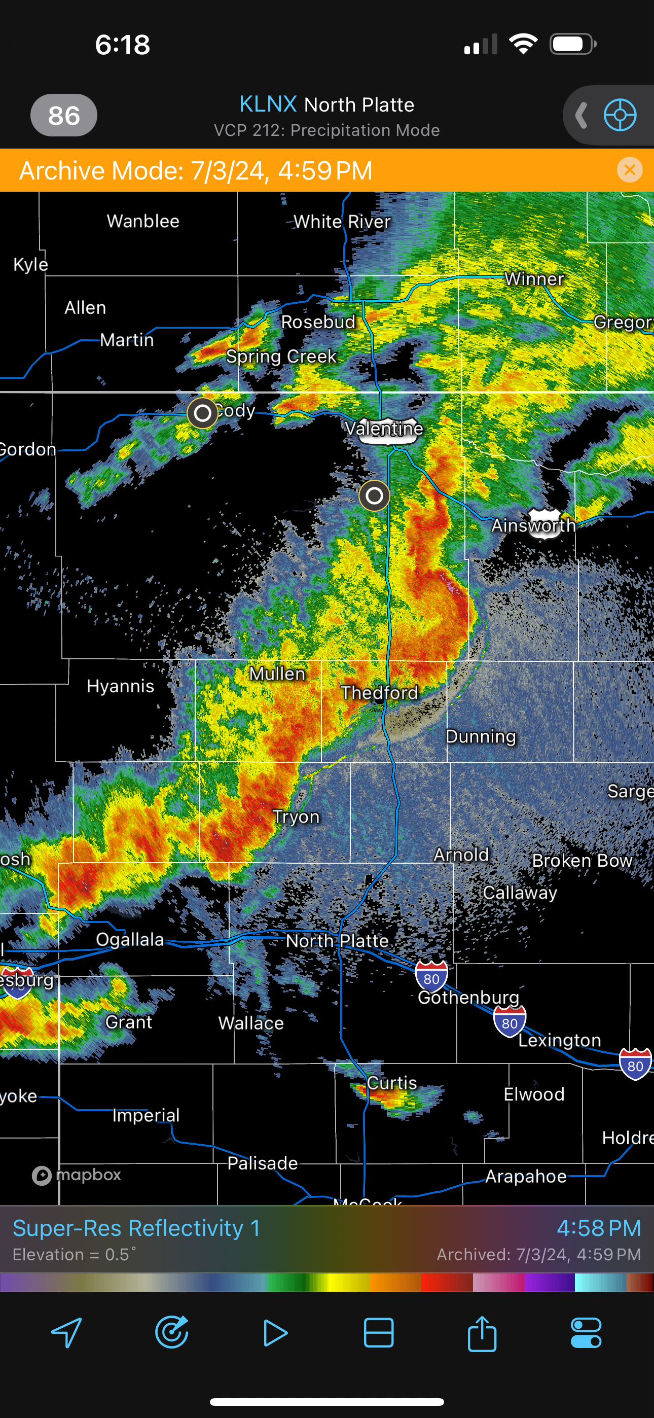 |
| Radar of the squall line. |
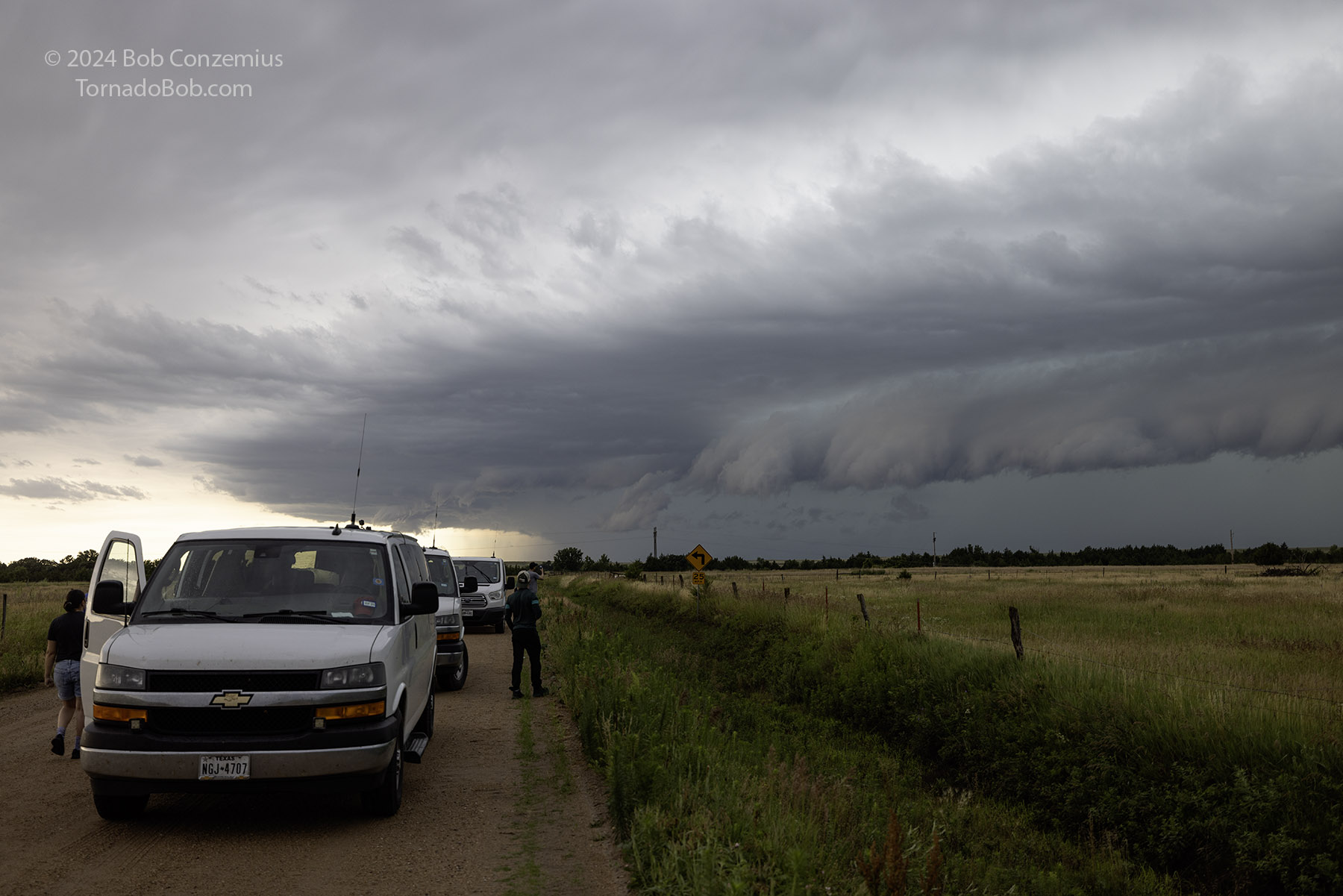 |
| As we move north, a line of storms approaches. |
After the shelf cloud swept past us, we traveled on to I-90 in South Dakota. We elected to put ourselves in position for an early chase tomorrow and drove toward Sioux Falls. On our way, we stopped to eat dinner at Mi Pueblo Mexican Restaurant in Chamberlain, South Dakota. We drove on to Sioux Falls and encountered one of the worst insect precipitation events I've ever encountered. We had to stop and remove them from the windshield because they obscured visibility to such a degree that the windshield wipers and washer fluid could not remove enough of the bug contents to make the van safely driveable. Kim got us rooms at the Comfort Inn & Suites at Sanford Sports Complex.
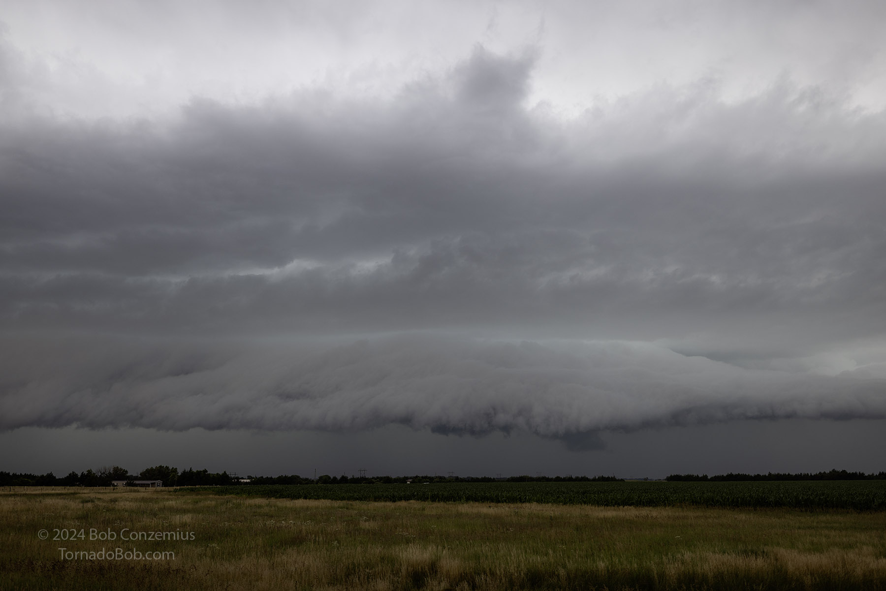 |
| Shelf cloud to the west. |
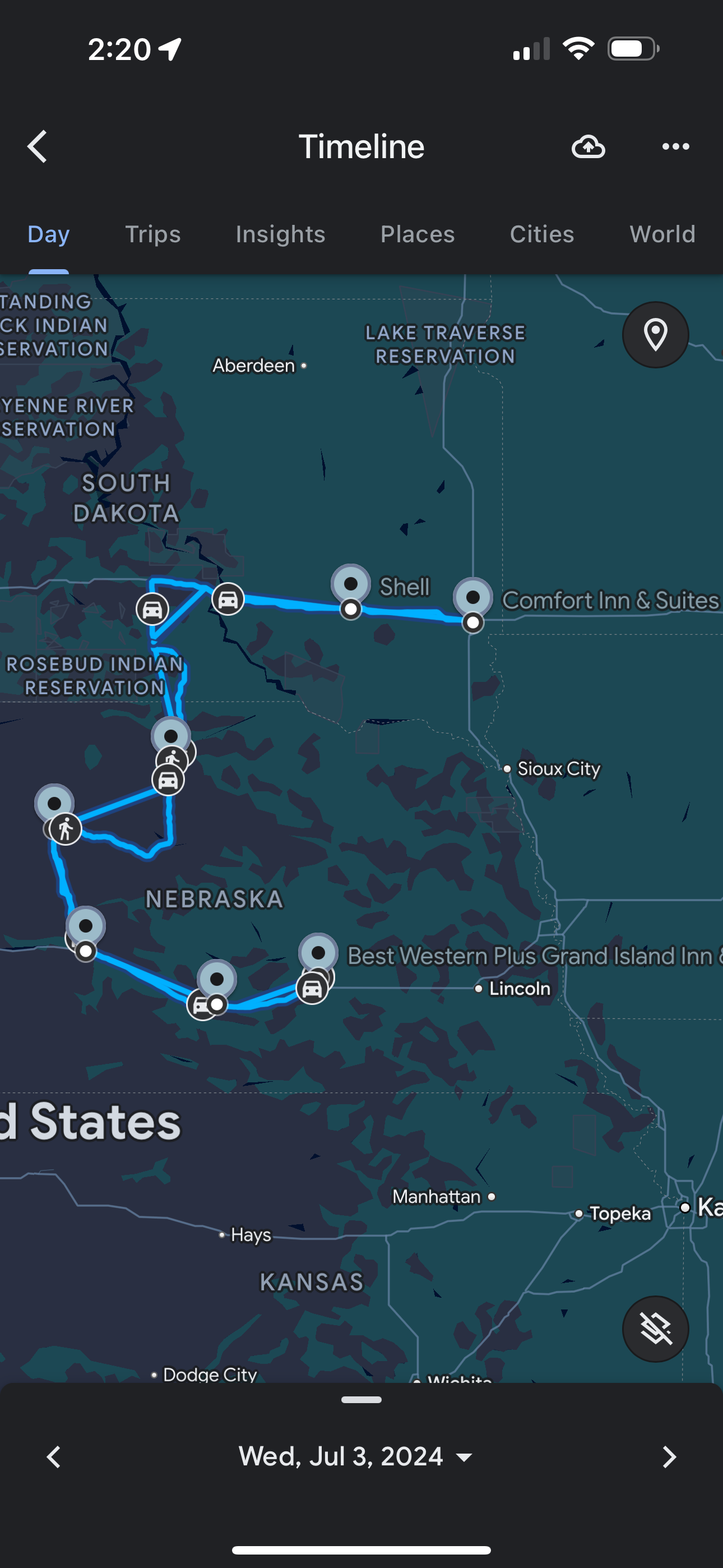 |
| Approximate route for the day. |
Back to Storm Chases | Home


