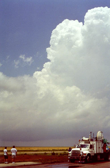
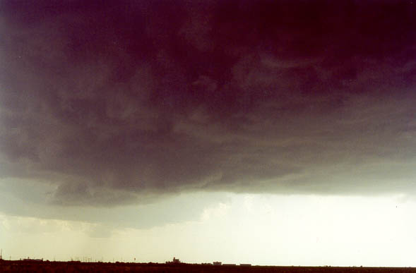
Early weak cell at rest stop on I-27. Note the bowl shape to the updraft.
We started the day at Amarillo, Texas. The setup looked really good for supercells and tornadoes in the Texas panhandle. Small storms initially developed south of Amarillo, so we went south a little to take a look at them. We pulled over at a rest stop on I-27 to observe these early towers and await development of the main show. (These early towers either died or moved off to the northeast out of view).
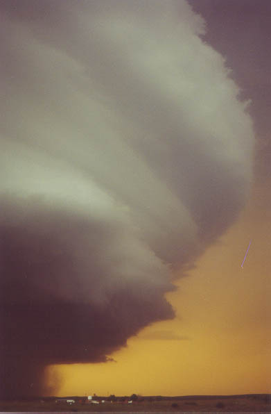
Early weak cell at rest stop on I-27. Note the bowl shape to the
updraft.
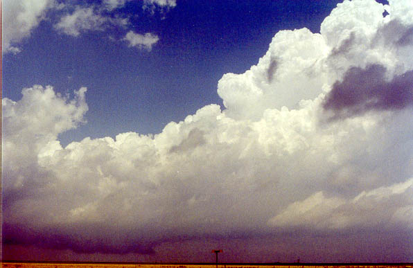
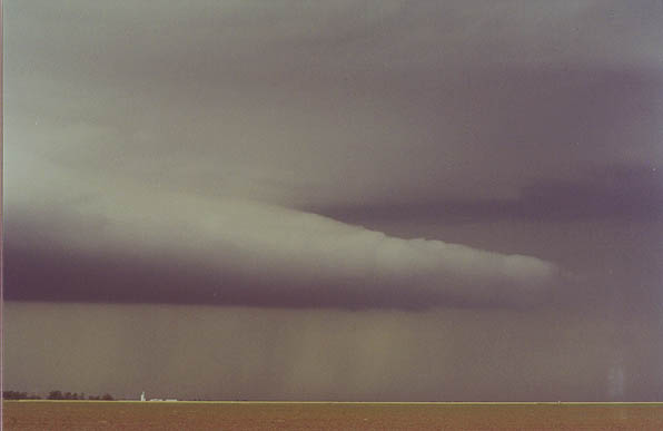
Weak cell a few minutes later. Notice the wall cloud under the cell.
A cell eventually developed off to the southwest near Littlefield, so the chase was on. I looked back to the north, but there was no significant development up there. The anvil from the southern cell looked pretty good, so I didn't feel too bad about going this way. When we arrived on the storm, it seemed to have problems forming one distinct updraft. It kept splitting and splitting. As the splits would move slowly northward and die, we saw the newer storms to the north struggle to get going.
Split off the main storm, looking north under the core of the main storm,
with northern storms developing in the distance.
Main storm develops a decent inflow band/shelf (top) while the latest
split shrivels (center), and the storms to the north start to get organized (bottom).
Our cell had a hard time consolidating its updraft into a single, dominating tower, but it eventually produced a larger, meaner updraft base. The inflow winds initially were not that strong and not blowing directly into the base of the storm, so I was somewhat pessimistic, but suddenly, the south-southeasterly winds at around 10-15 mph became easterly at 30+ mph, so my confidence in the storm increased. At the same time, however, the northern storm really looked to be a bit more organized than ours. I didn't realize that there were several storms up there, and I also didn't see the massive anvil our storm was making until a few minutes later. Still, the northern storms seemed to have a more tornadic look, with a single, hard, upright tower, backsheared anvil, and cloud bases pretty much below the horizon.
Developing wall cloud underneat our storm. A second updraft is visible
to the west-southwest. Looking closely at radar, the storm appeared as two very close
cells.
Our storm then went through a mesocyclone/occlusion process, looking like it wanted to produce a tornado, but there was obviously not enough upward motion in the center of the mesocyclone, and it just spun at cloud base and occluded. Another storm developed off to our south, but it didn't look as good. Our storm was somewhat high-based, and this was supported by 59-degree dewpoints at Lubbock and Plainview at the time. These dewpoints had dropped from their earlier values in the middle-upper 60's. Eventually, the storm found some higher dewpoints to the east, because its base soon became much lower, and it developed a very long inflow tail.
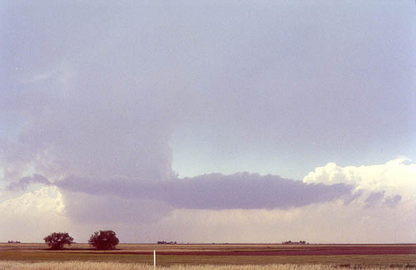
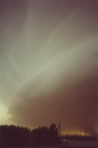
Inflow tail on our storm.
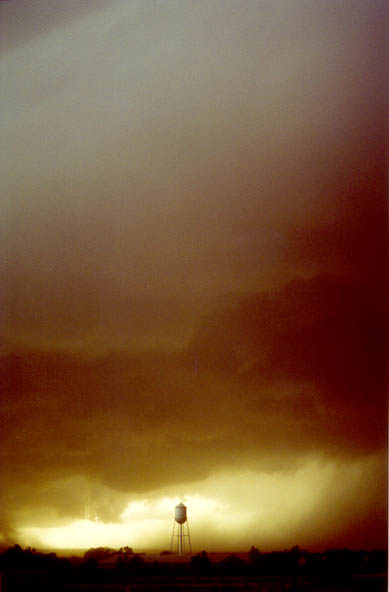
The storm tried a couple times to produce a tornado, and even once, it had a dust spinup beneat a rotating area, but it never developed further. The road options then became somewhat poor, as we suddenly found ourselves in a very long caravan of chase vehicles on a rather narrow Texas road. It became difficult to deploy and undeploy on the storm, as you often had to wait a couple minutes to pull out onto the road. A couple minutes can make all the difference between barely making than next north jog on the storm and being swallowed by 70-dbz core and having to abandon the chase.
We dropped to the bottom of the escarpment and into the town of Turkey, continuing forward until the chase caravan was behind us. When we looked back, there was some pretty interesting structure on the storm, with lots of rising dust plumes under the base. It was sort of the inverse of the haboob we witnessed a couple days before, with inflow dust rising up to cloud base rather than outflow dust kicking out ahead of it.
South flank of storm over Turkey, TX.
Storm over Turkey, TX.
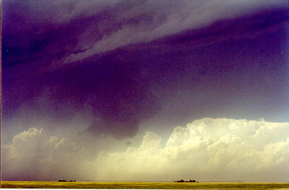
Forward flank of mesocyclone east of Turkey, TX.
Soon after this time, Doppler on Wheels detected a tornado within the rain- and hail-shrouded mesocyclone. It simply was not visible from our vantage point, and I don't think anyone would have been able to see it had a condensation funnel been present. There were no roads in the exact spot it formed.
We did one more scary drive under the meso on our route eastward. We feared the same 4"+ diameter hail that the DOWs had been hit with earlier, but we found nothing larger than an inch. With darkness upon us and DOW2's transmitter broken, we decided to abandon the storm and to target Fort Worth, TX. We stopped for a break in Paducah. There, the storm put on a tremendous lightning display, and when we moved east to observe it, a tornado formed near Quanah. This storm was certainly not done. We intercepted it again near Vernon, TX and chased it to Grandfield, OK, making several DOW deployments along the way and detecting F0-scale circulations, but we could not see any definite condensation funnels or dust/debris at the ground.
Finally, at 1:00 AM, we called it a day. This was a nine hour chase, with one 15-minute break-- by far the longest chase of my life.