July 7, 2022 Supercell
Great Falls, Montana
We had stayed the night at a Super 8 Motel in Billings. The forecast looked very similar to the previous days, but this time, the storms were forecast to form a bit farther west, so we decided to drive straight to where the tornado had been reported (and where we also saw a funnel cloud) yesterday. Models showed storms developing there, and the same moisture-rich airmass was in place over much of Montana.
We had far enough to drive, and after yesterday's experience, I feared missing a tornado due to early initiation, so I decided we better grab a gas station lunch and keep driving. We got to Stanford and found only weak attempts at convection initiation in our area. Stronger storms developed north and northwest of Great Falls, and some of them were warned. These were about 100 miles away, so I decided to be patient and wait for something closer. There were towering cumulus to our west and also some less numerous towering cumulus to our east.
Convective trends began to look worse in our area as the clouds became less vertically developed and less numerous. I decided we should drive northwest and see what we could get that way, even if it took us a couple hours to get there. We drove toward Great Falls, and fortunately, some storms developed a bit farther south and strengthened. We passed through a deep valley on our way to Great Falls, and there was a bit of road construction and some slow-moving traffic. We made it out of the valley and could see our storm.
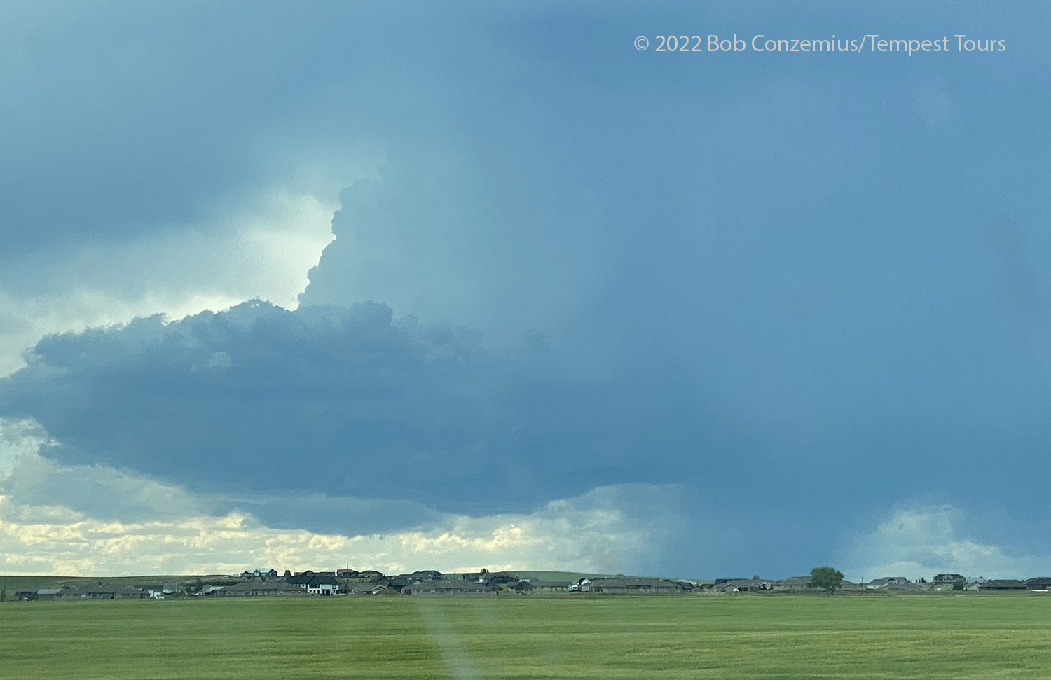 |
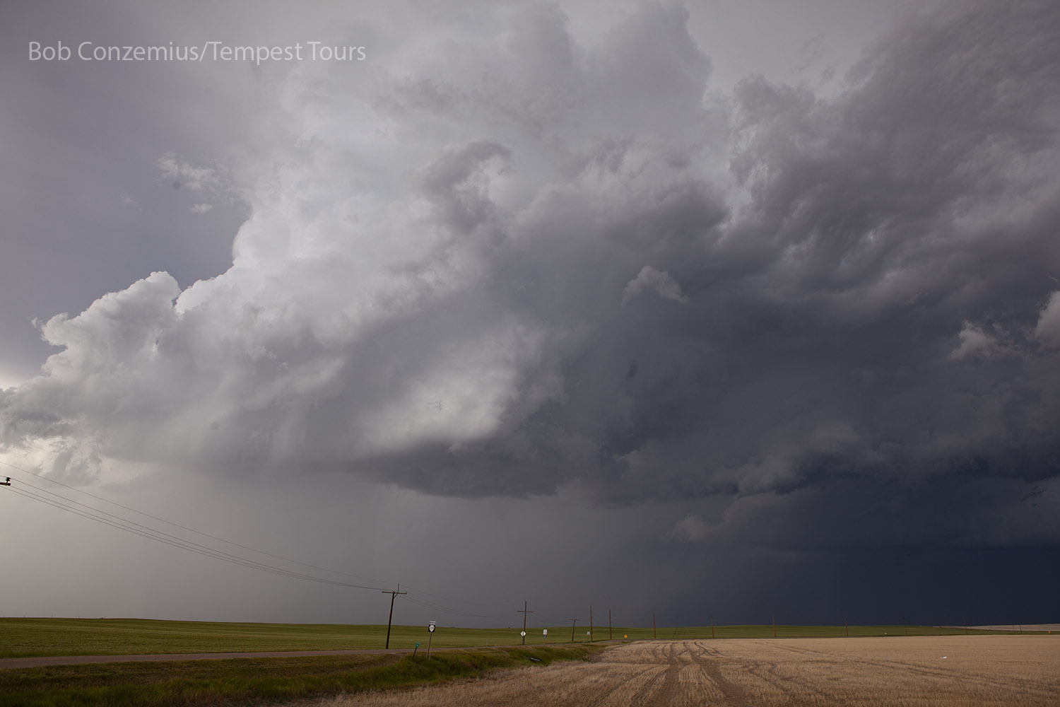
| First good look at our storm as we are approaching Great Falls. |
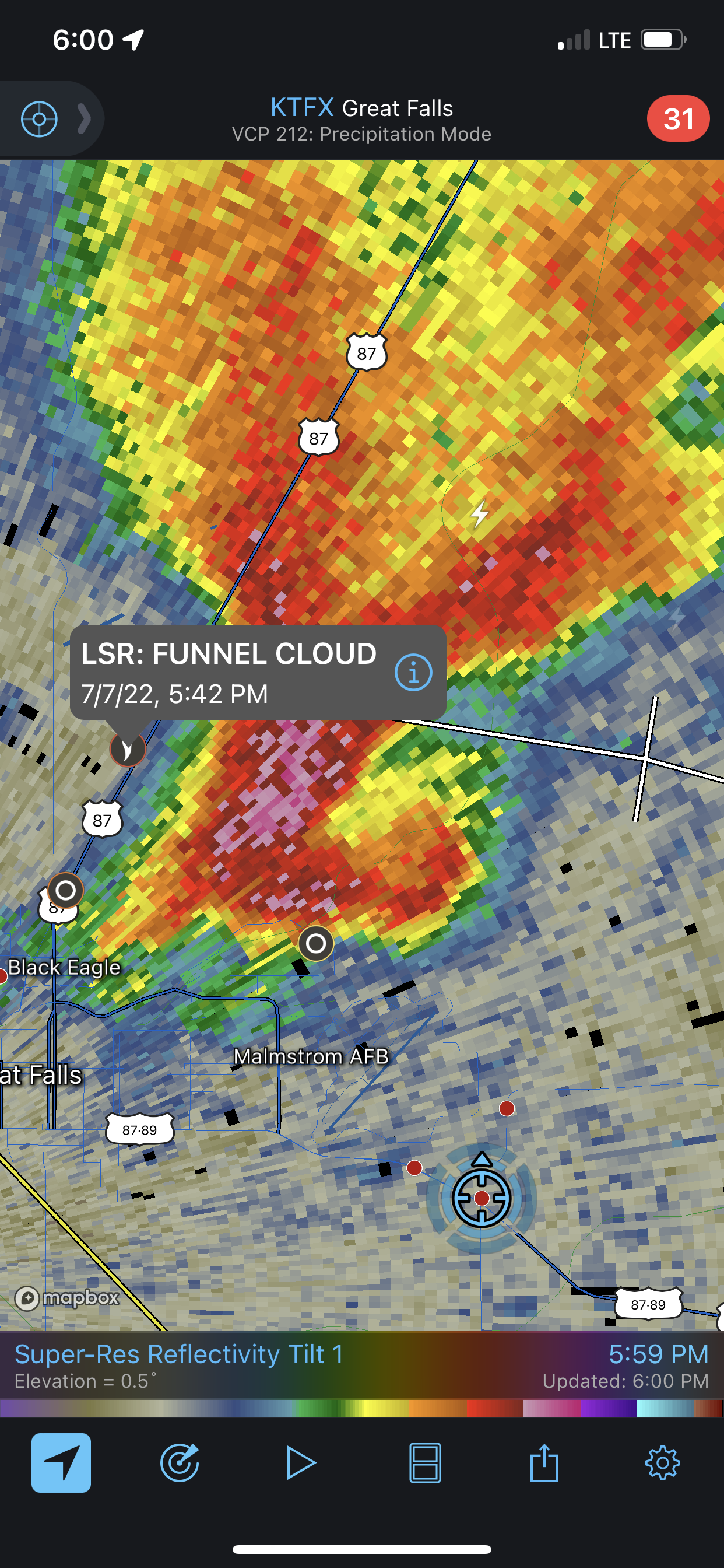
Intercept would be a bit tricky because the storm was getting pretty close to the Great Falls area. As we passed through town, hitting every traffic light, it seemed like we would never get to the storm. When we got into view again, the storm produced a funnel. It wasn't as substantial as yesterday's funnel, and it looks like I didn't get video or any decent stills of it because I was busy navigating through the west part of Great Falls.
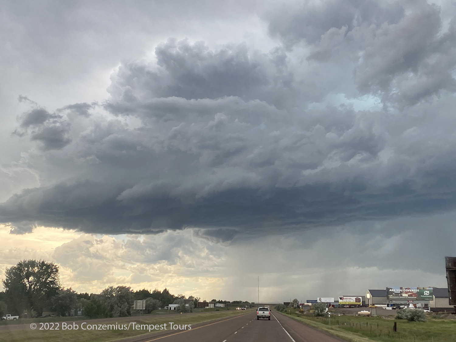 |
| Storm viewed from Great Falls. The small wall cloud just left of the road produced a funnel. |
I was wondering whether there would be enough room west of town where we could set up between the storm and the city. There was just enough room, and we found a relatively remote exit and set up pretty close to the updraft base.
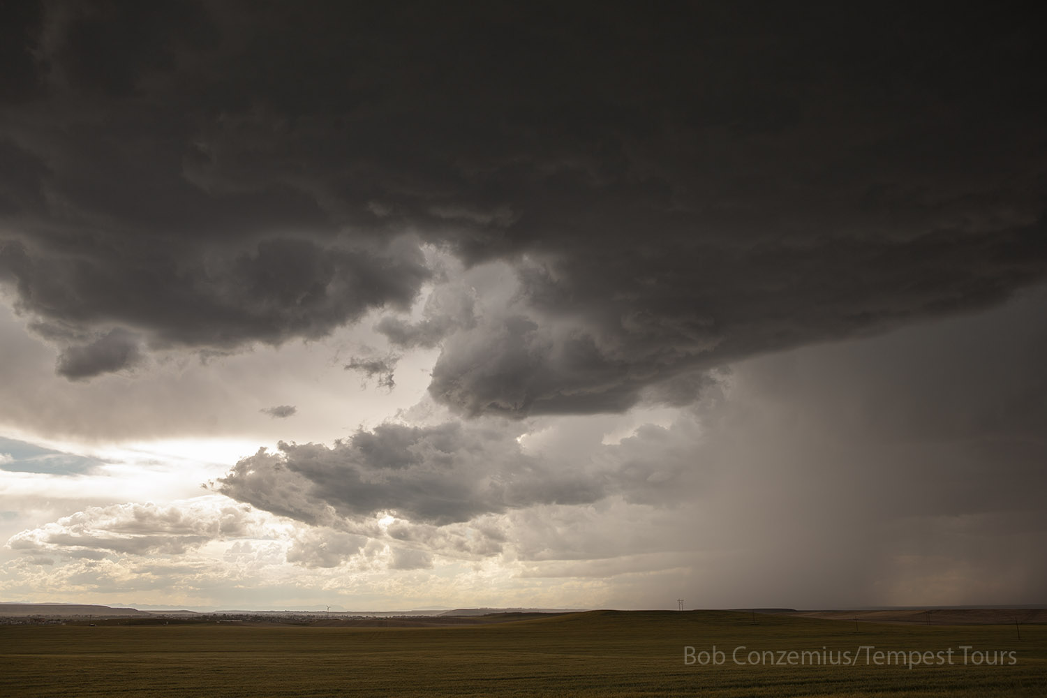 |
| Storm west of Great Falls, Montana. It had earlier produced a funnel when we were coming out of Great Falls. |
This deployment didn't last long, and we soon had to pick up and move back through Great Falls. We navigated through the town again and worked our way over to the northeast side. This kept us pretty close to the updraft base, so we had a reasonable chance of seeing something significant if it developed. We got to an industrial area on the northeast limits of town and found a place where we could pull over and observe the storm. Once again, we were really close to the updraft base. We could look directly up and see the center of rotation. Radar also showed a nice hook passing right over us! Unfortunately, this meant hail was approaching, and we soon had 2" stones dropping around us. It was time to exit south!
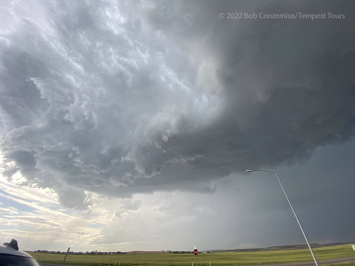 |
| Now we are on the northeast side of Great Falls and about to get some hail. |
 |
| Radar showed a nice hook where we just were. |
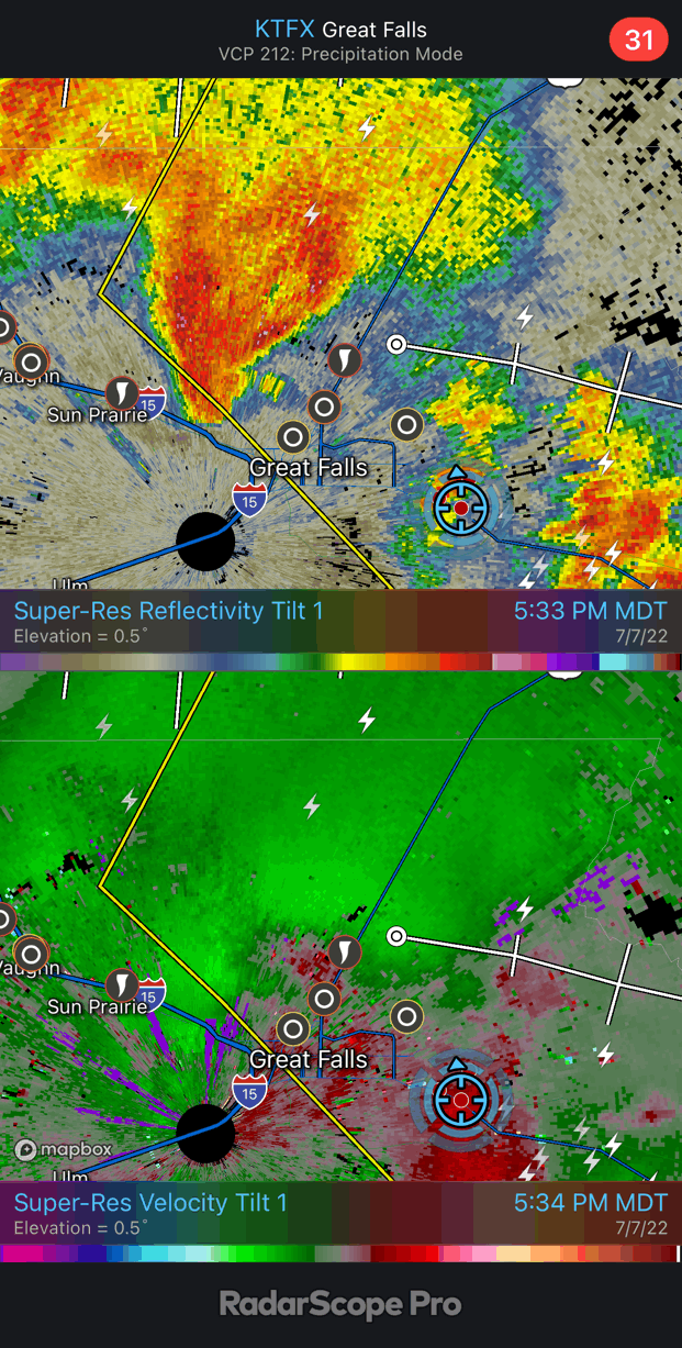 |
| I decided to save an animation of the radar loop. |
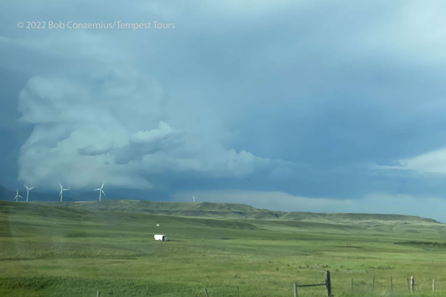
Fortunately, we happened to be on the southern fringe of the hail because we drove out of it really quickly. We navigated southeast and got to a small road branching off the main highway (the one we took when first approaching Great Falls) where we could take some time and had a nicer location relative to the storm. The storm, however, was beginning to shrink. We watched and did a time lapse for a bit as the storm slowly worked its way east. Once it shrank to the point of no longer being very interesting, we started our drive back southeast. There were additional storms in that direction, but we also needed to start our return trip back to Denver. We had gotten pretty far northwest in Montana, and apparently, this is about as far west as Tempest Tours had ever chased. Bill had been on a tour up in Canada at roughly the same longitude, and it's possible we got slightly farther west, but only by a mile or two.
 |
| This is how our storm looked once we got east of Great Falls. It was shrinking. |
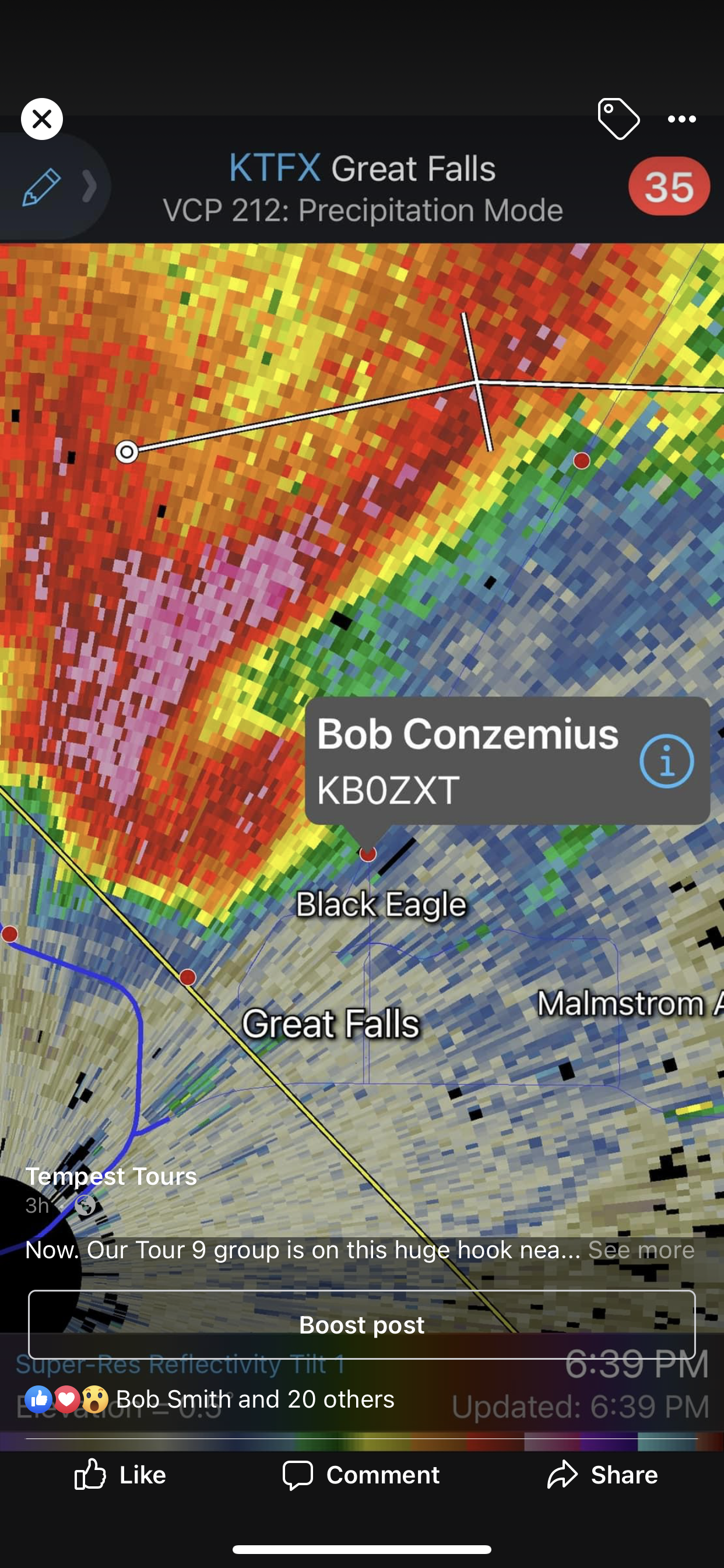 |
| My screen grab of Martin's Twitter post. |
 |
| The group of storms as we got out of the Canyon southeast of Great Falls. |
The drive back to Billings would be rather long, and we did not arrive until after sunset, which, at this time of the year in Montana, is pretty late. Kim booked us rooms at the Boothill Inn, which was a really nice place with close access to trails up the bluff on the northeast side of town. I took the opportunity to go on a run up the bluff the next morning.
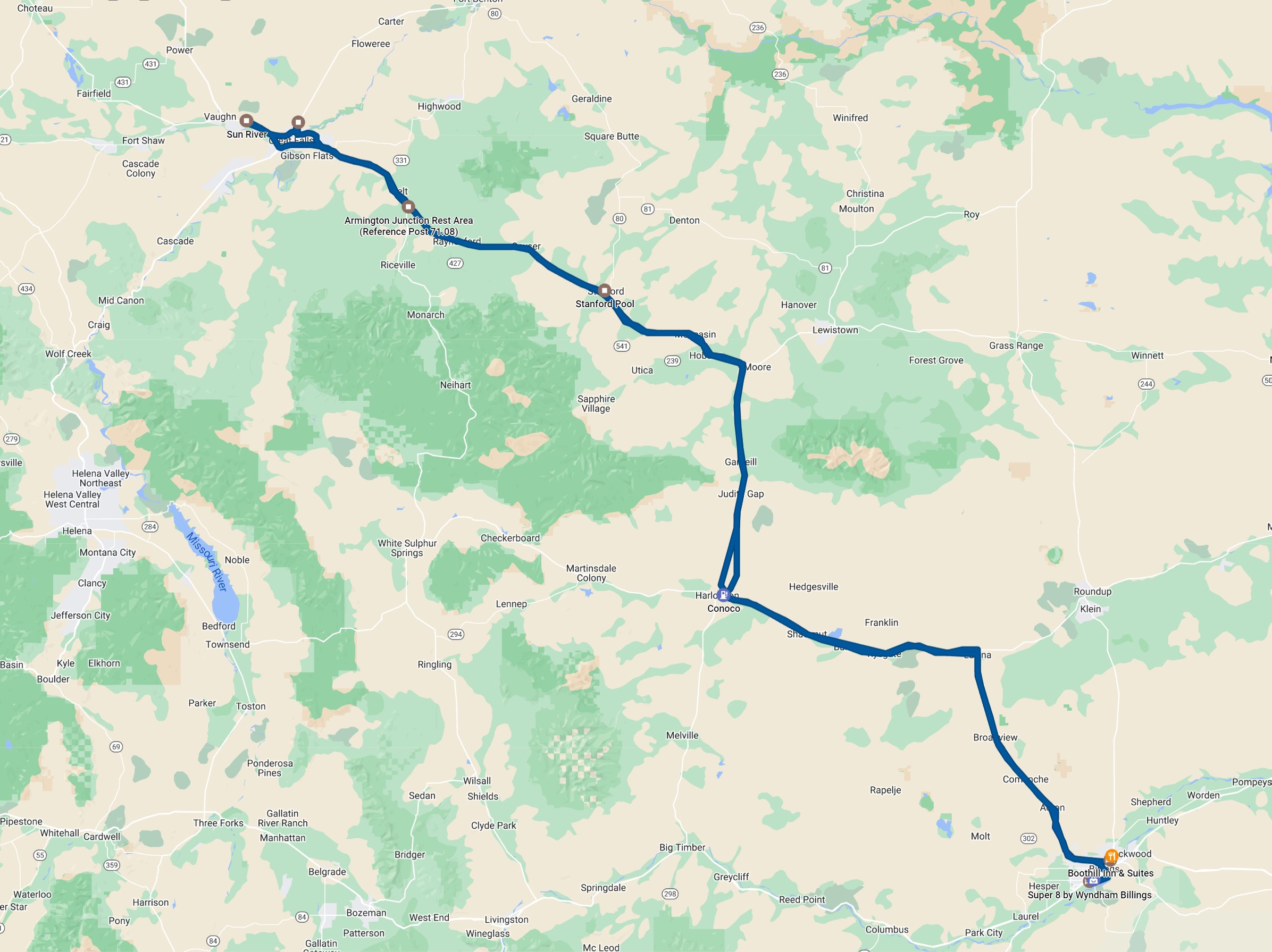 |
| Our route for the day. |
Back to Storm Chases | Home