June 18, 2018 Supercells
I-25 Corridor, Colorado
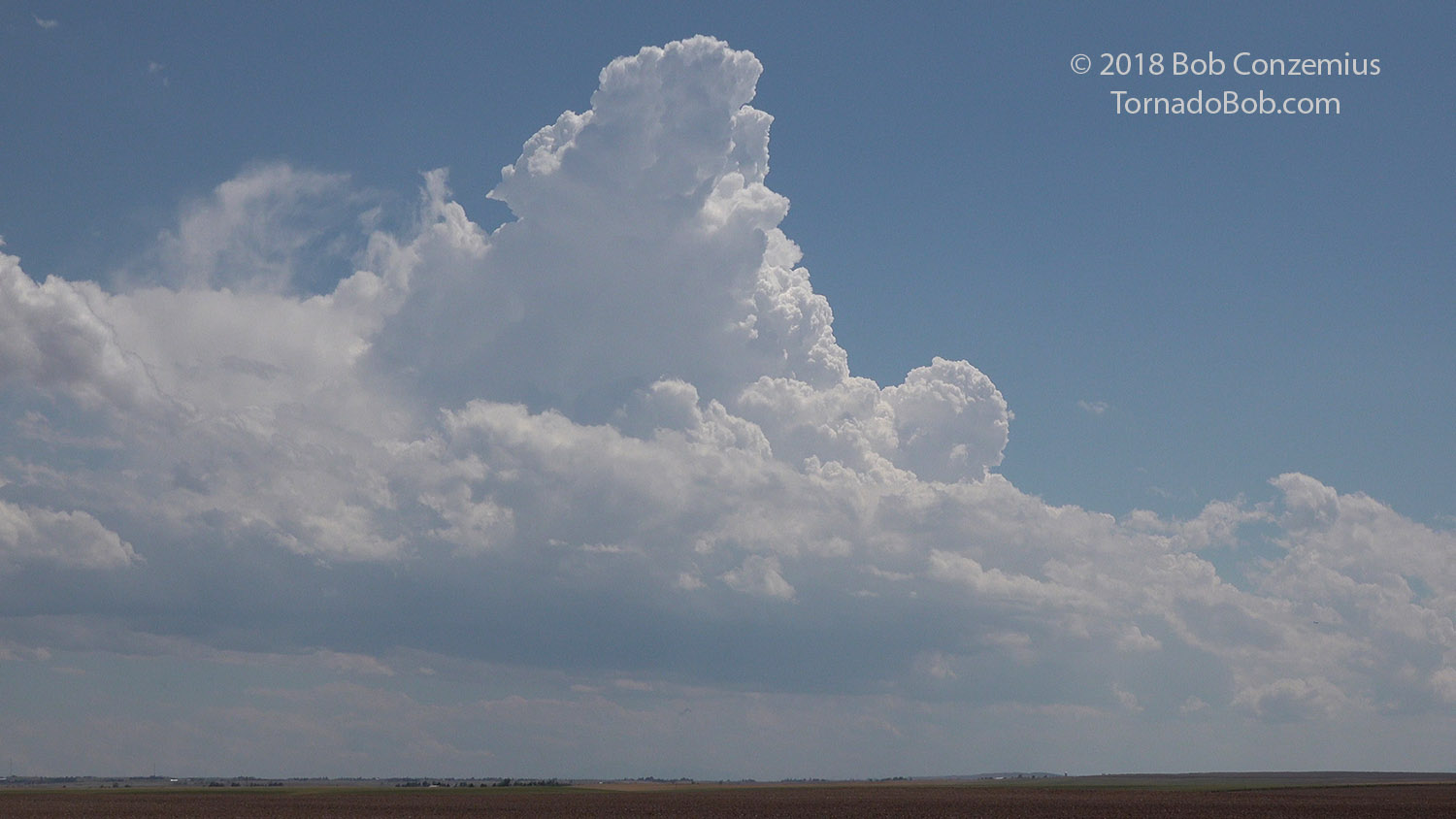
We began the day in Ogallala, NE, where we had our forecast discussion and decided to target the eastern Part of the Palmer Divide east of the Denver International Airport. After stopping for lunch at Bennet and shooting some footage north of that town, some towering cumulus developed to our south. We thought that this would be our storm of the day, so we drove east to Deer Trail to watch it develop.
 |
|---|
| Towering cumulus east of the Palmer Divide. |
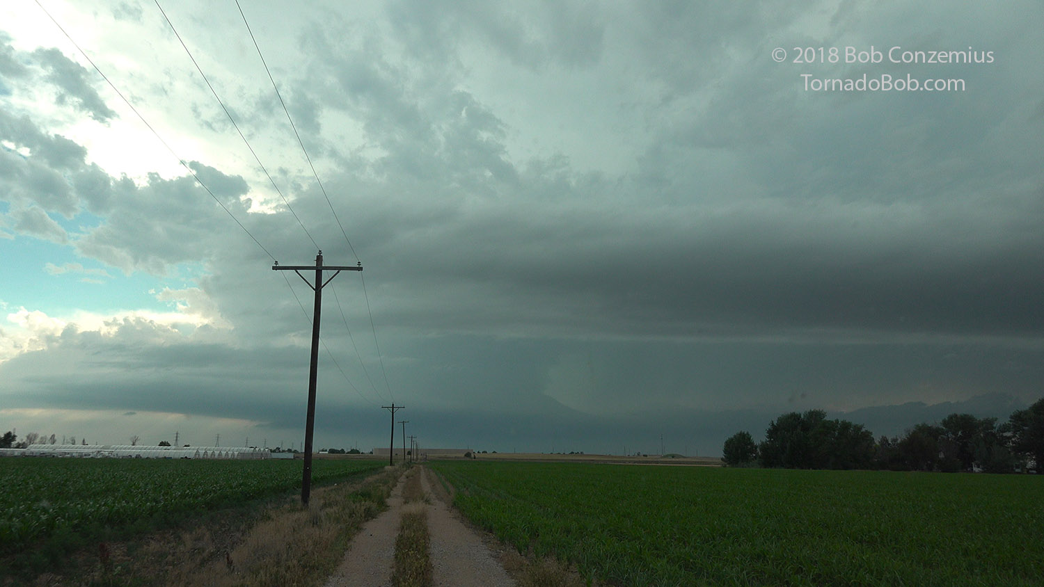
This area never really developed into a mature storm. Instead, storms developed over the Front Range from Boulder to Fort Collins and moved east onto the Plains. We drove back toward the Denver metropolitan area and then zig-zagged northwest on county roads until we caught the storm south of Hudson. We continued to near Fort Lupton, where we observed the passage of the wall cloud overhead. We then started up I-76 to catch back up to the storm.
 |
|---|
| Towering cumulus east of the Palmer Divide. |
Storms lost their discrete nature as we drove north on I-76, and soon we had a line of severe storms to our west and north. We decided to call it a day and made room reservations in Fort Morgan at the Comfort Inn. We waited there for severe storms to move up the line and clobber the hotel, but they passed a few miles north of us. Therefore, no hail for us, but Boulder had gotten hit pretty hard when we were observing our first storm.
 |
|---|
| The sun set between storms in the line. |
 |
|---|
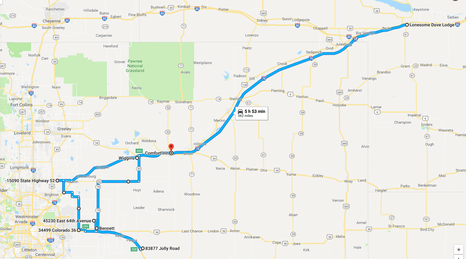
| Our route for the day. |
Electric driving: no problem as there are Superchargers in the area, but a revision of the exact route would have been necessary to get to the Superchargers. It probably would not have affected the storm intercepts much.
Back to Storm Chases | Home