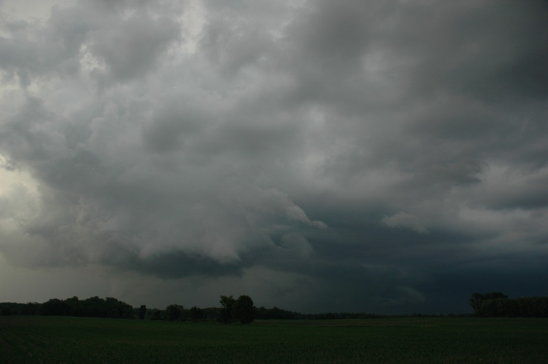
Tail end of the storm southeast of Milaca, MN.
I ended up on the severe storm near St. Cloud and followed it east a bit before heading back home and enjoying a storm there.
An appointment at home kept me from leaving until about 1:45 PM, which is really not good if it's a 5 hour drive to the target area. On my way south, I was really kicking myself for having allowed an appointment to hold me back on a significant tornado day. I kicked myself again in heavy traffic in the Brainerd lakes area after having decided to get suckered toward an early, tornado-warned storm in Todd County, MN rather than blasting straight to the original target. When I got to the storm just north of St. Cloud, it was visually unimpressive, so I was strongly tempted to blast southeast anyway and get to the original target in the Mason City, IA area, but I held back for two reasons: 1) I'd most likely be behind the storms, playing a frustrating game of catch-up and fail; 2) I was worried nothing would develop down there, and I already had a storm to chase.
The result was pretty typical of chases I've experienced in the Upper Midwest: strong shear and CAPE, but the spatial variation in forcing for upward vertical motion often favors areas north of the high CAPE, high shear, and what happens is lots of "elevated" hailers or a big MCS up north in the trees and nothing in the target area. The difference between bust days and explosive development of tornadic supercells seems rather subtle on a lot of these days.
I also would strongly argue we should not be so focused on the cap. The more experienced I become, the more it strikes me that we should be looking at forcing for UVV rather than cap to figure out where storms will develop. Yesterday, the progs generally indicated a pretty weak or nonexistent cap, but I don't think that matters a whole lot unless there's some reason for the storms to develop. One may also ask why tornadic storms developed on Wednesday in southern Minnesota but not on Thursday. My guess (although I haven't done the analysis to prove it) would be that the forcing for UVV was much stronger on the cyclonic shear side of the mid-tropospheric jet on Thursday than on Wednesday, and that may have put the warm sector more under weak subsidence (of course, which means capping is likely to become stronger than progged-- cap strength responds to the forcing for UVV, not just to the temperature of the EML). The mid-tropospheric flow was stronger on Thursday, and that may have meant stronger cyclonic vorticity advection to the north of the target area, more UVV there, and all the action shifted north from where we wanted it.
The other big issue seems to be the development of the storms themselves versus what the progs indicate. There can be a bit of feedback from the storms to the larger scale flow which helps to intensify the system within which they develop (in this case, the shortwave trough associated with the early development over the Dakotas and western Minnesota) and weaken the forcing elsewhere (in this case, farther south in the warm sector).
Of course, all this looks perfectly clear in hindsight. Overall, I was pretty happy the way things ended up (I didn't miss a big event by leaving too late), but that also meant a bust for everyone who was able to get where the parameters looked best.
Tail end of the storm southeast of Milaca, MN.

Rainbow as seen near Ogilvie, MN.
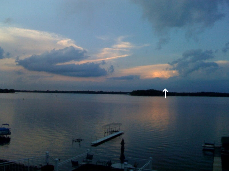
My storm as seen from White Bear Lake, MN (see arrow).