June 30, 2024 Supercell
Kiowa, Colorado
Today was Day 1 of Tempest Tour 9, 2024. There was a marginal risk of severe storms up and down the high plains from Colorado to Montana. In Montana, there was a slight risk, and this would have been pretty tempting to run after (in fact, I had moved the Denver orientation up a couple hours to allow us to reach that target). However, looking at the latest CAMs, and knowing where the Day 2 risk was, I decided it would be a long drive for little gain.
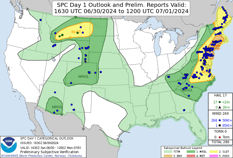 |
| SPC Day 1 Outlook with verification. |
Instead, we drove southeast toward Limon and waited for storms to develop on the Palmer Divide. Easy target. We drove to Limon, ate some lunch, then drove a little westward on Highway 86. By 4:00 PM, we were watching developing storms to our west. We continued west to intercept it, stopping at County Road 89 a few miles east of Kiowa on a dirt road on a high spot to watch it approach.
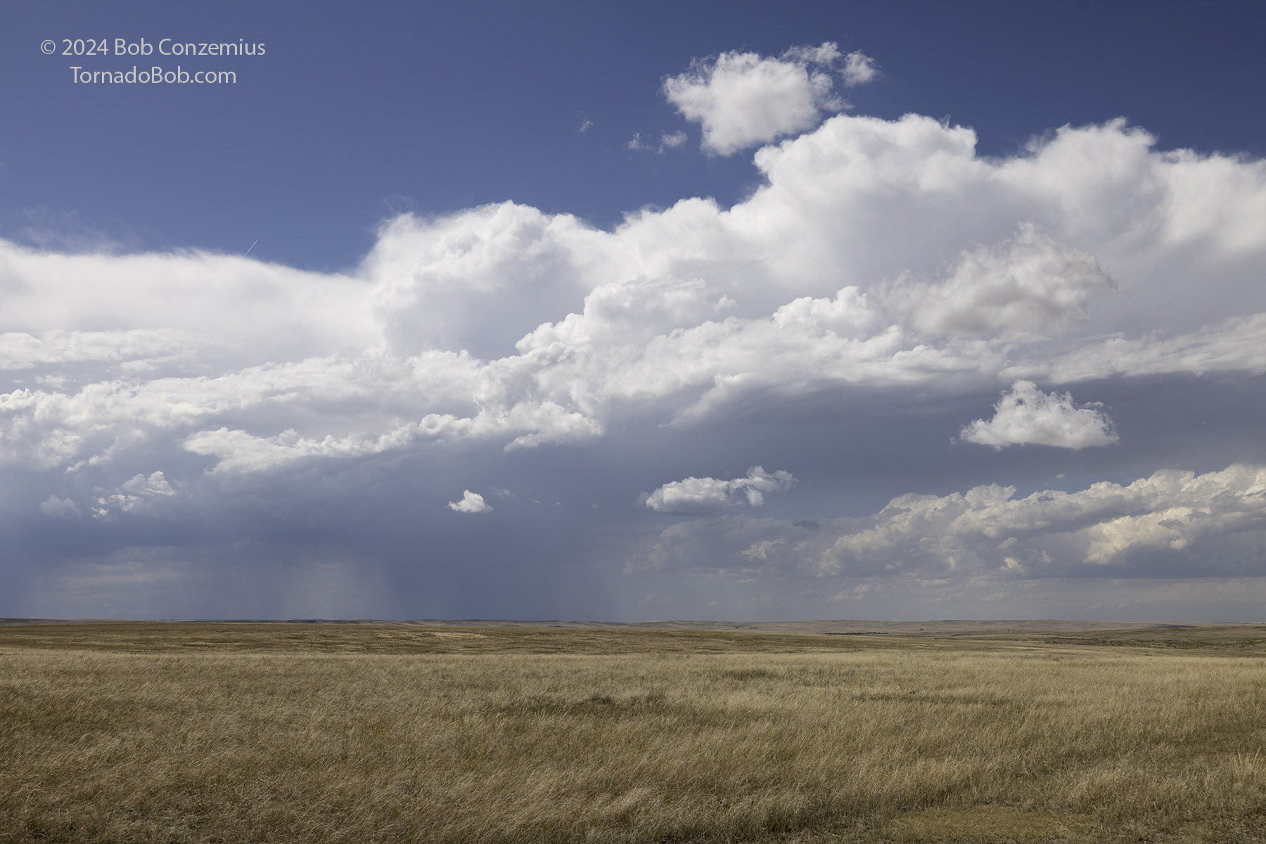 |
| The first storms develop on the Palmer Divide. |
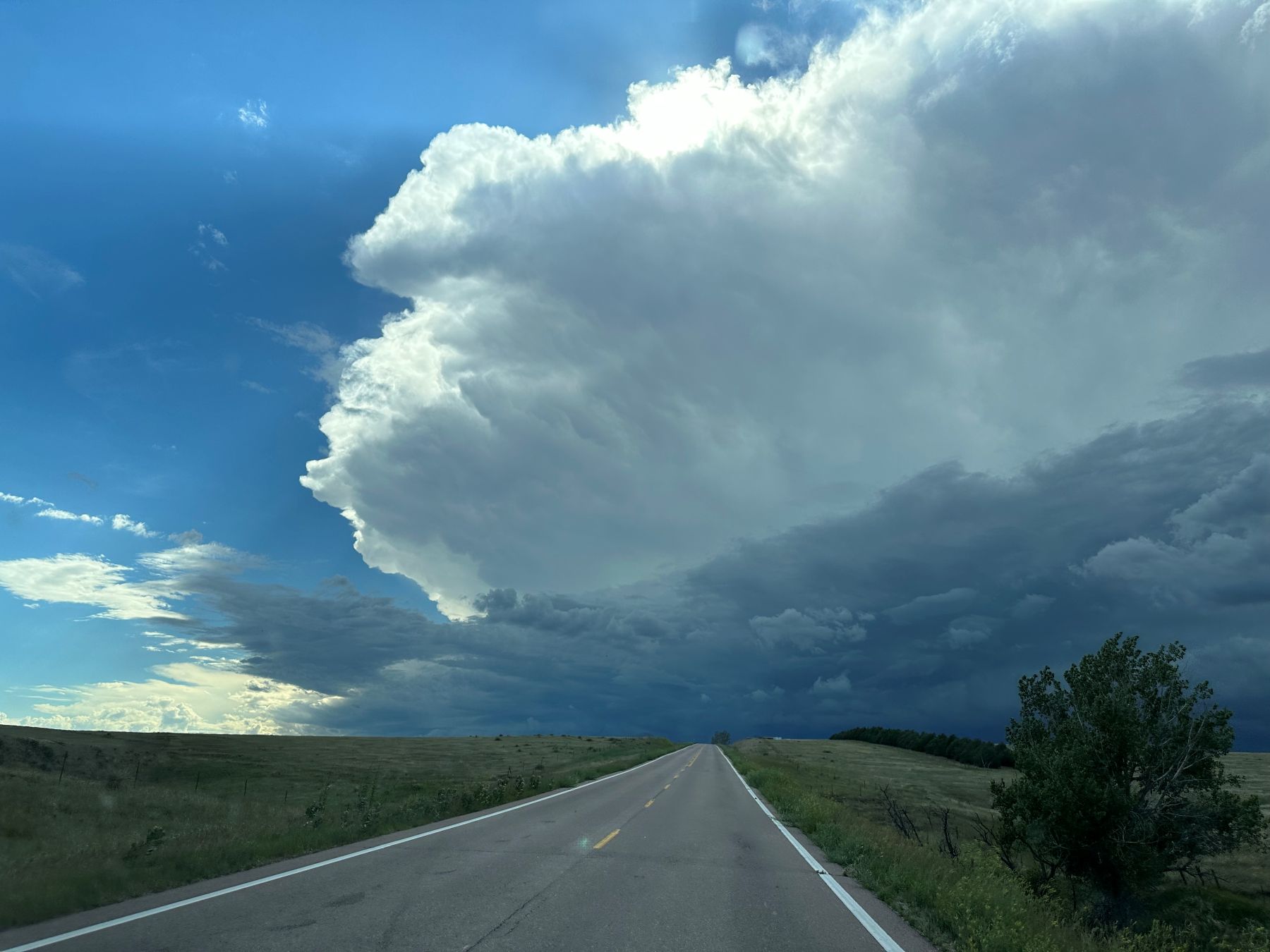 |
| We drove west to intercept the strongest storm. |
 |
| It was a supercell, undercut by outflow, with a shelf cloud around the updraft base. |
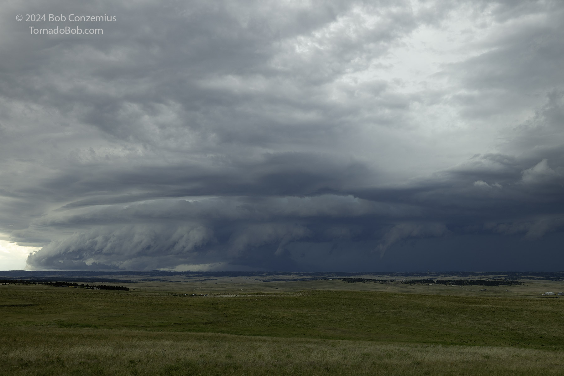 |
| A closer look at the storm. |
We spent some time just watching this storm approach, and then some of it got to our north and north-northeast. Once the gust front caught us, we went back east on Highway 86, back to I-70, and took a pit stop in Limon. The storms had looked a little disorganized, but they were beginning to intensify, with a supercellular storm to our north. It was time to blast east on I-70 to see if we could get ahead of that storm before sunset.
As we continued east on I-70, we got sufficiently far ahead of the storm that we could see a nice, layered shelf cloud. This was some nice, Colorado structure! We stopped between Genoa and Arriba on County Road 36 a couple miles south of I-70 for a relatively long deployment as we had raced ahead of the storm to allow ourselves some more generous viewing time. We had close to 20 minutes to watch this storm approach before we had to leave to stay in front.
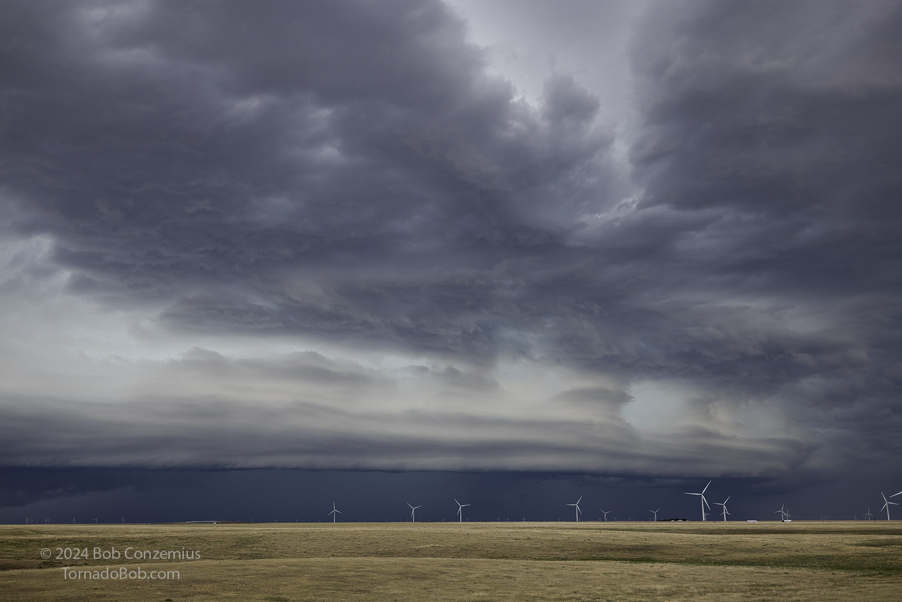 |
| East of Limon, just off I-70, a sculpted shelf cloud with undulations. |
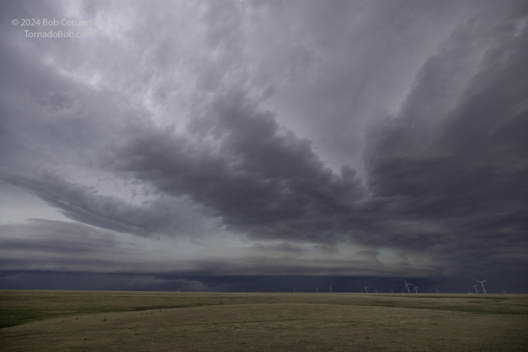 |
| A more wide angle look from the same location. |
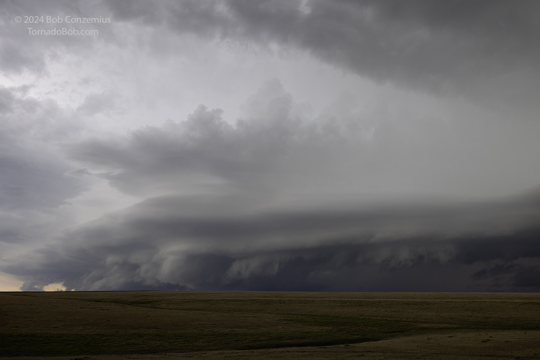 |
| The southern end of the line to our west. |
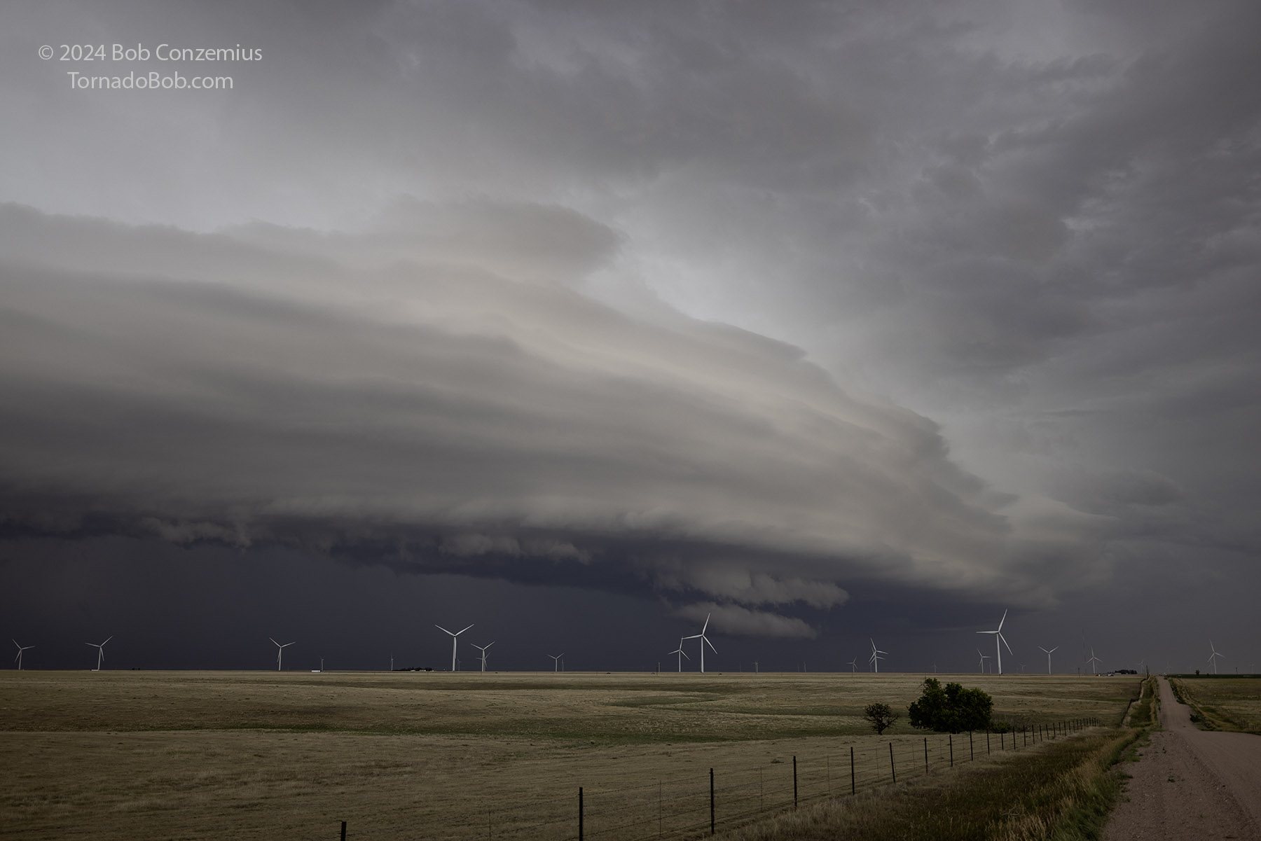 |
| The storm is encroaching on us. Time to head east! |
We drove east to Flagler, drove just south of town, and set up to watch the sun set underneath the storm.
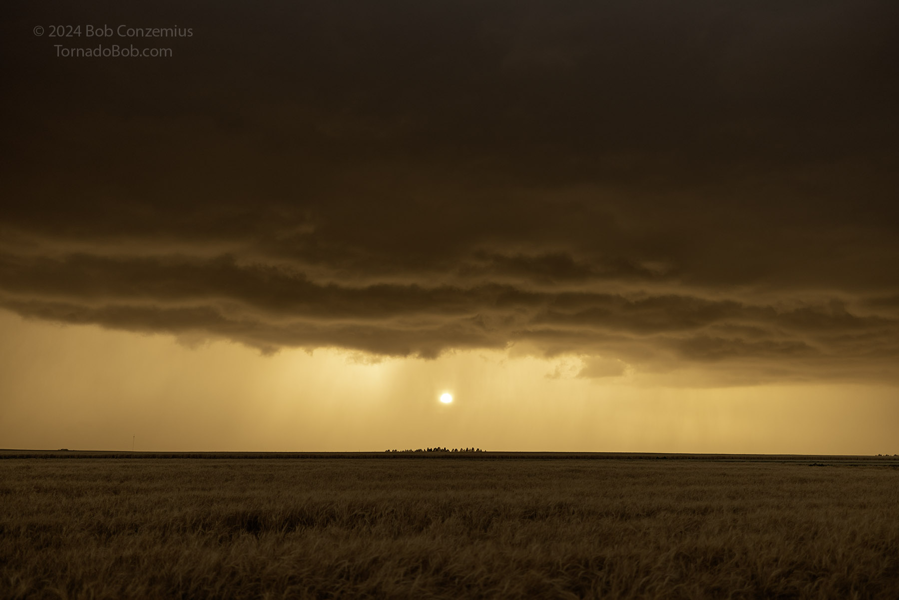 |
| The sun sets behind the rain, illuminating everything in orange. |
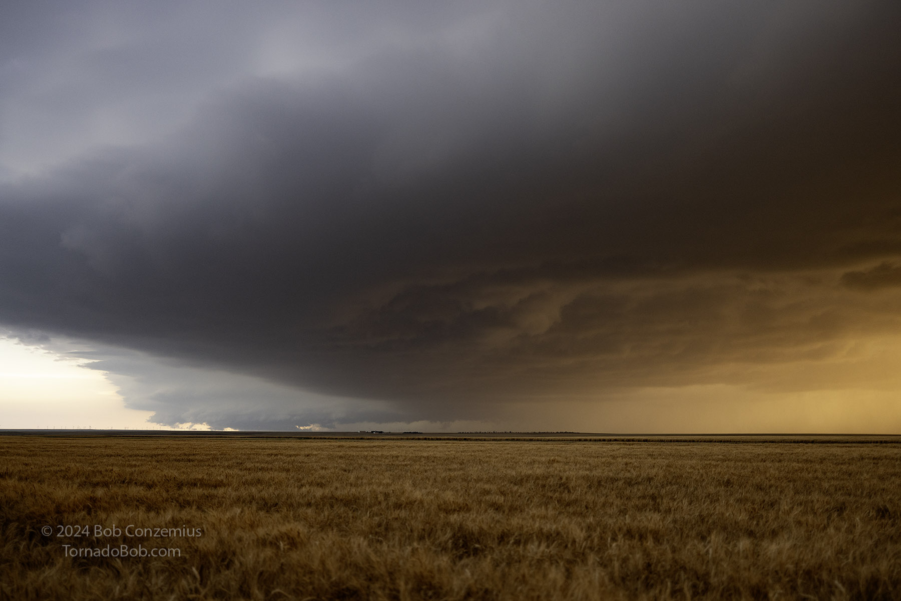 |
| Looking southwest. |
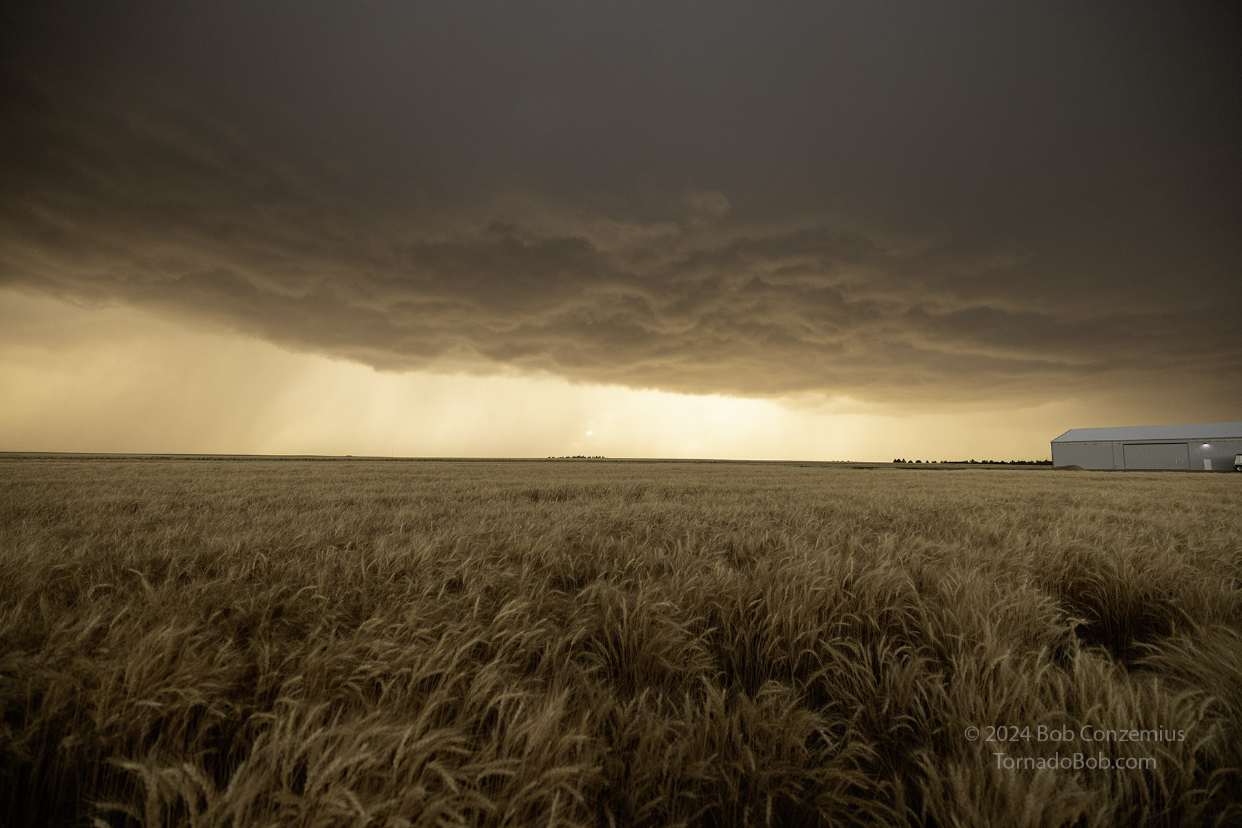 |
| A last look at the storm as the sun finally sets. |
We drove east to Burlington, CO where we spent the night. The Chaparral Motor Inn was booked. We stayed at the Econolodge (formerly Woodspring Suites). Not too shabby for an Econolodge.
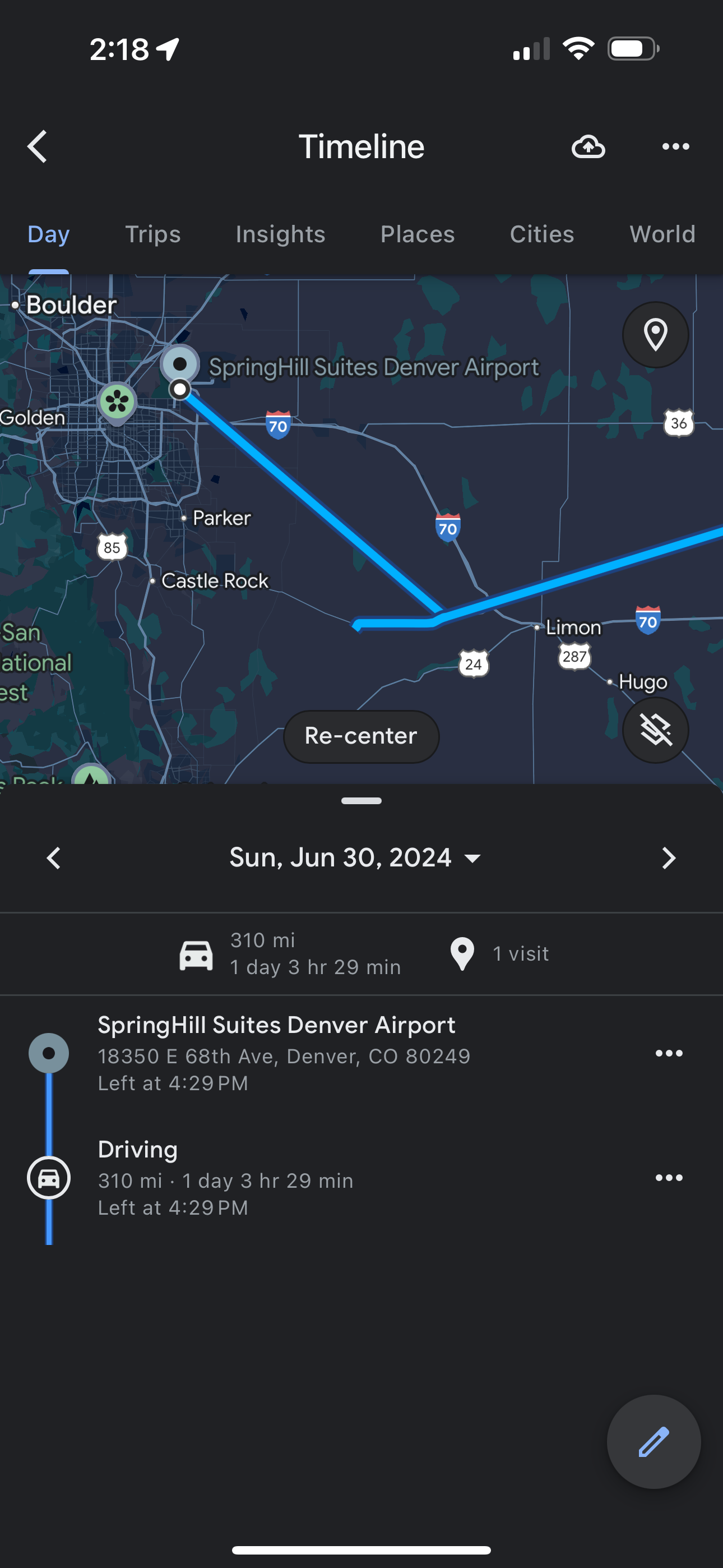 |
| Very, very approximate route. |
Back to Storm Chases | Home

