April 23, 2022 Supercells
Southwest Oklahoma
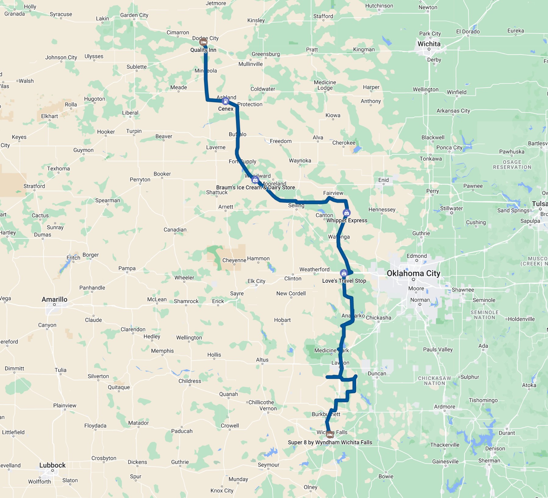
The 500 mb shortwave trough from the previous day's chase had lifted north, and the cold front had advanced a bit into the plains, so the chase today was a bit farther east. Typically, I am not as much a fan of these days as I am of chase days on the higher plains, but there was a shot at some decent, rotating storms across southwestern Oklahoma as the front was advancing a little more slowly there. The storms had chased us up to Dodge City the previous evening, so we needed to stairstep south and a bit east to reach the target area. We drove through Woodward, Oklahoma and had lunch at Braum's. From there, we were starting for a target in north central Oklahoma but decided upon southwestern Oklahoma instead. We headed toward Lawton for initiation just south of the Wichita Mountains.
 |
|---|
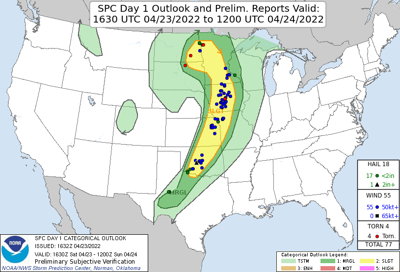
| The SPC 1630 Day 1 Outlook. |
 |
|---|
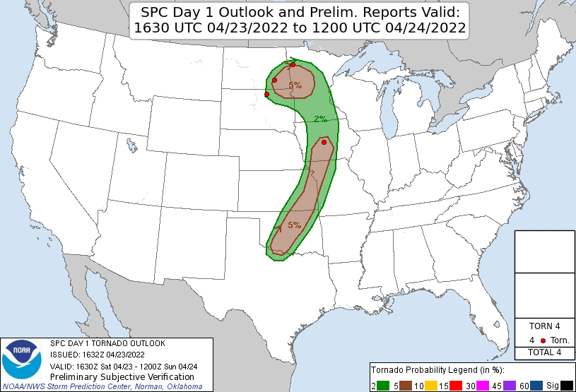
| The SPC 1630 Day 1 Tornado Outlook. |
A broking line of storms developed in our target area and slowly strengthened into supercell storms. We stairstepped east and a bit south as darkness approached. We continued to stay with these storms after sunset and captured some nice lightning and nighttime supercell structure.
 |
|---|
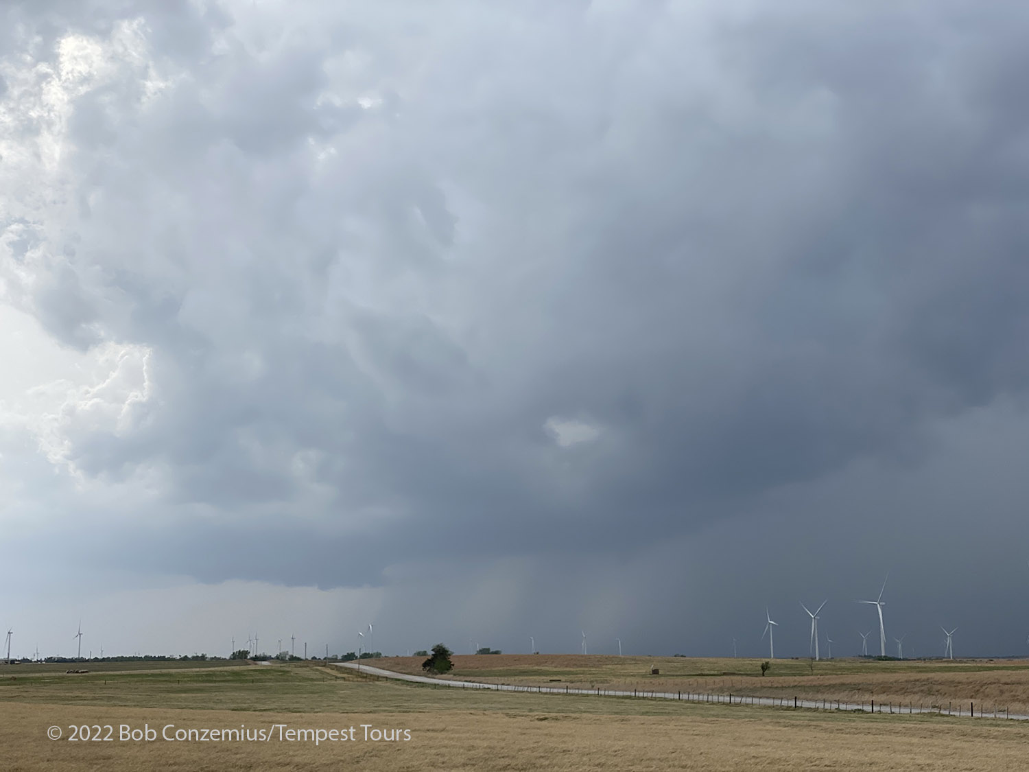
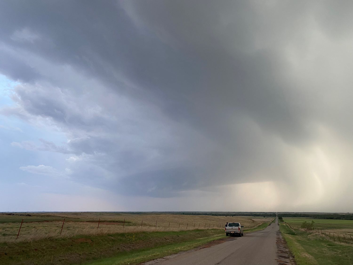
| First storm of the day just south of Fort Cobb. |
 |
|---|
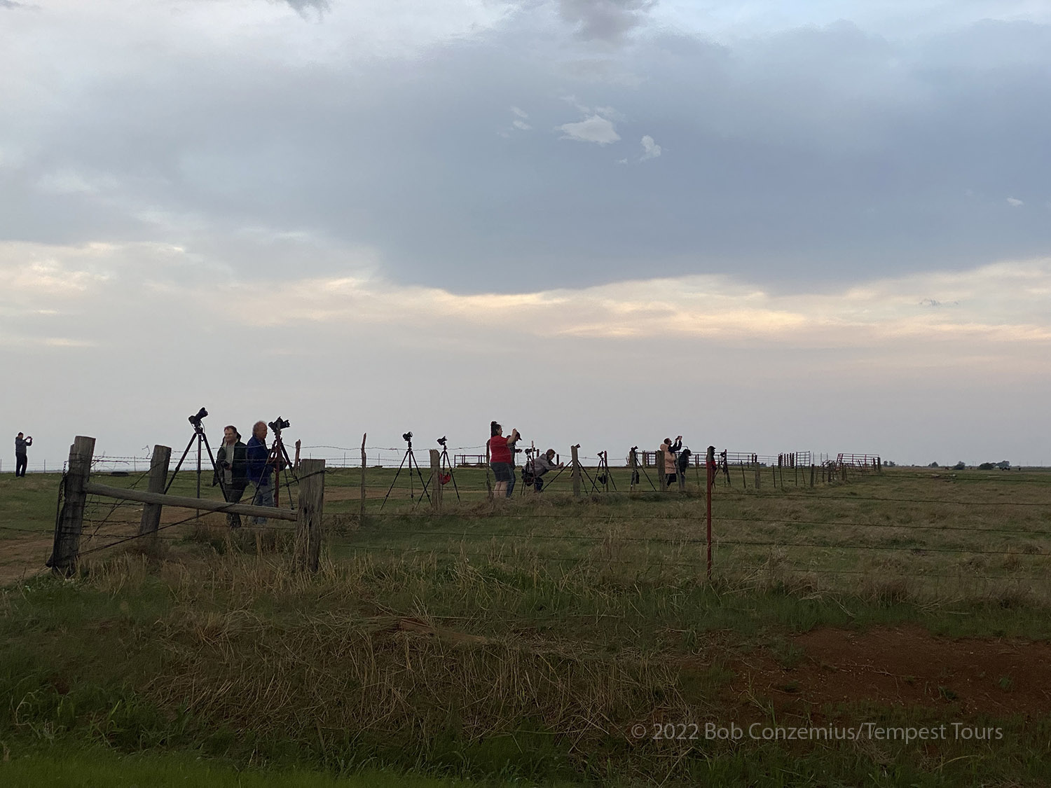
| Guests enjoy the storm to our west near Lawton. |
 |
|---|
| The storm has a little bit of supercellular structure. |
 |
|---|
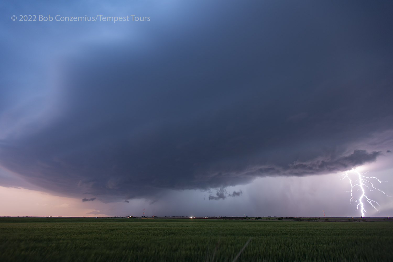
| Lightning on supercell southwest of Lawton. |
 |
|---|
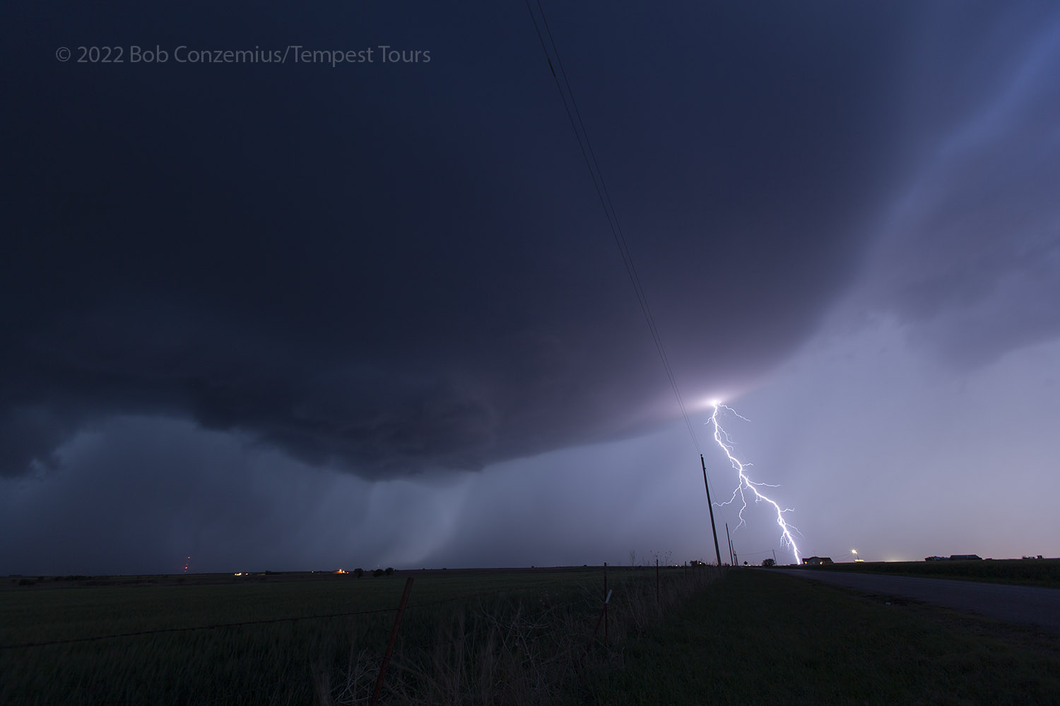
| Lightning on a third storm just west of I-44 and north of Wichita Falls. |
 |
|---|
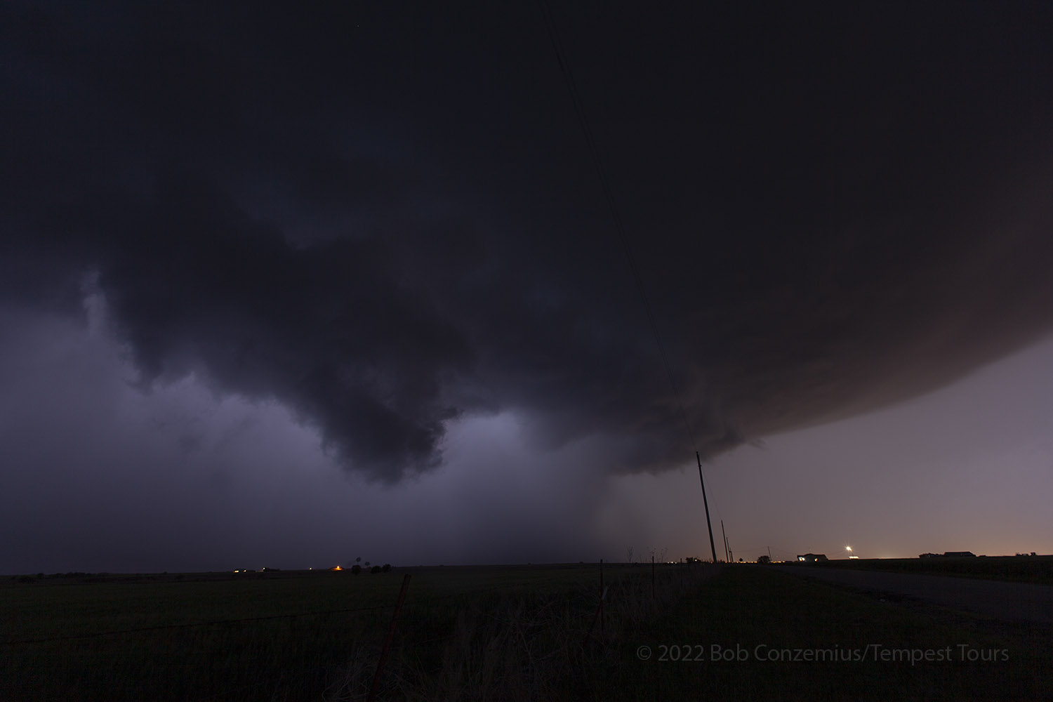
| A twisting piece of scud develops underneath the storm. |
 |
|---|
| The route we traveled. |
Back to Storm Chases | Home