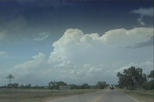
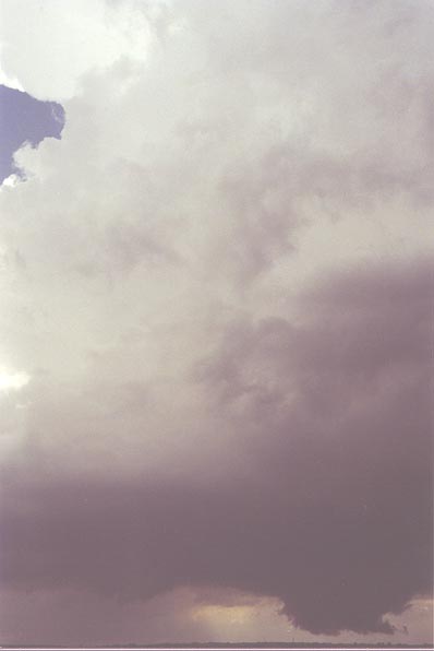
Looking north from near Alva, OK. Our target storm has initiated.
The final day of the DOW chase season gave us our best dual-doppler deployment on the entire life cycle of a weak tornado. After two consecutive busts, vehicle problems, and weakening shear, I did not expect much at all today, but we were out, so we decided we might as well stick around to see what happens.
Looking north from near Alva, OK. Our target storm has initiated.
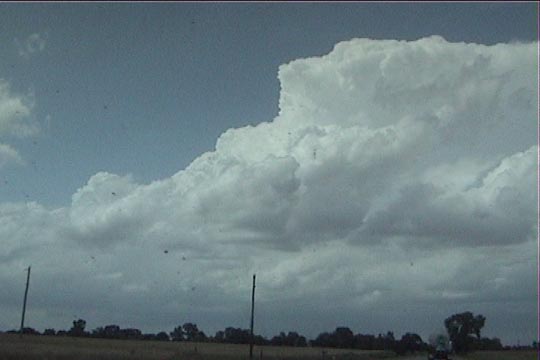
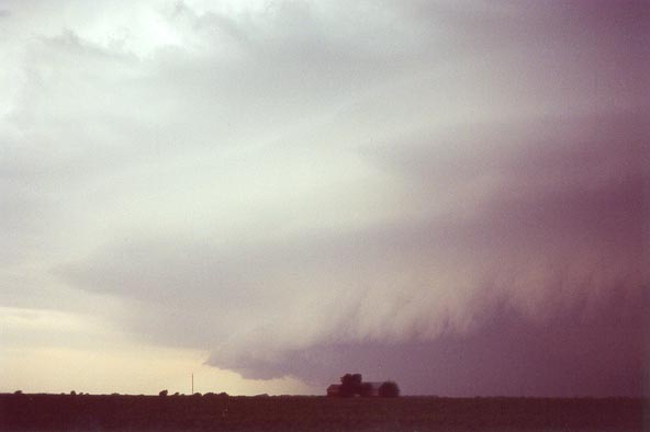
Target storm near Kiowa, KS.
Near Kiowa, KS, the storm has developed a nice wall cloud.
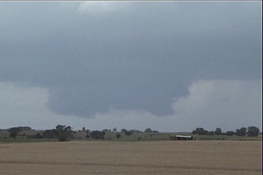
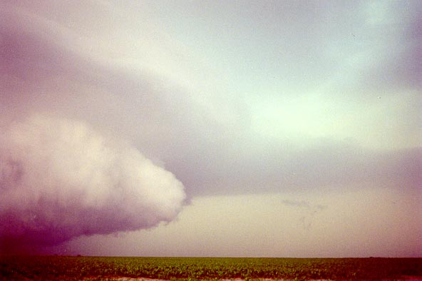
North of Hazelton, KS, the storm continues to show a well developed but non-rotating wall cloud.
Wall cloud and updraft base near Hazelton.
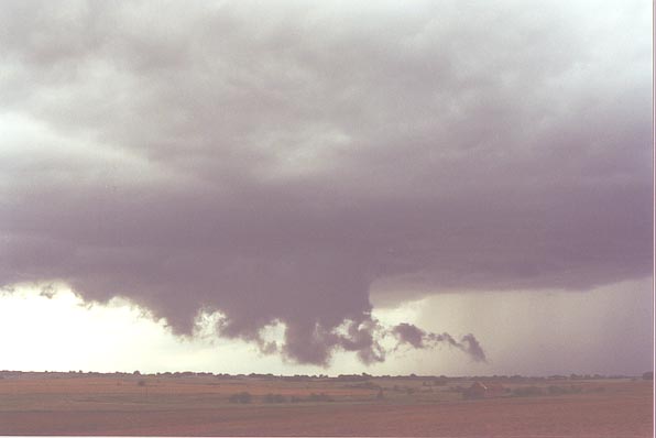
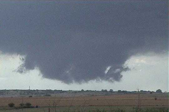
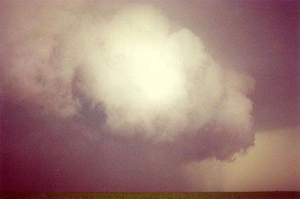
Wall cloud elements nearly touch the ground.
Mesocyclone near Anthony, KS. Rotation can now be seen at the cloud base.
Another view of the mesocyclone.
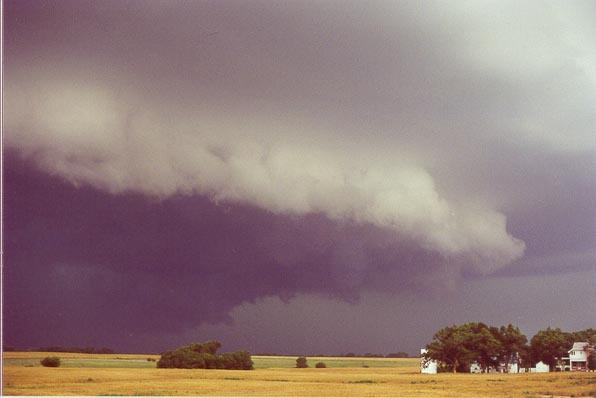
View of mesocyclone from just south of Argonia. The storm is in an HP phase and is about
to produce a weak tornado (which we never saw due to the rain).
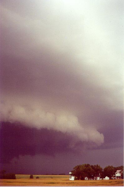
South of Argonia. Northern end of the mesocyclone with beaver's tail.
Mesocyclone is much closer now (looking west-northwest). Tornadogenesis is occurring
about this time behind the rain curtain. Tornado moved to within 3 kilometers of us before it dissipated, but
we were in heavy rain (with ~1km or less visibility) and never saw it.