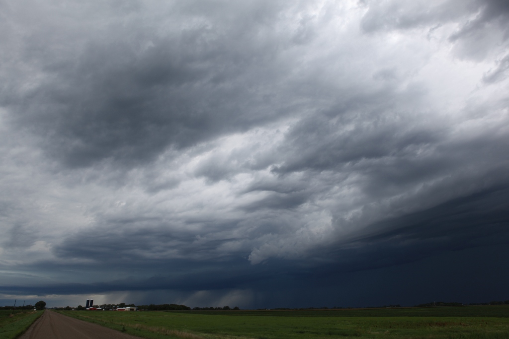
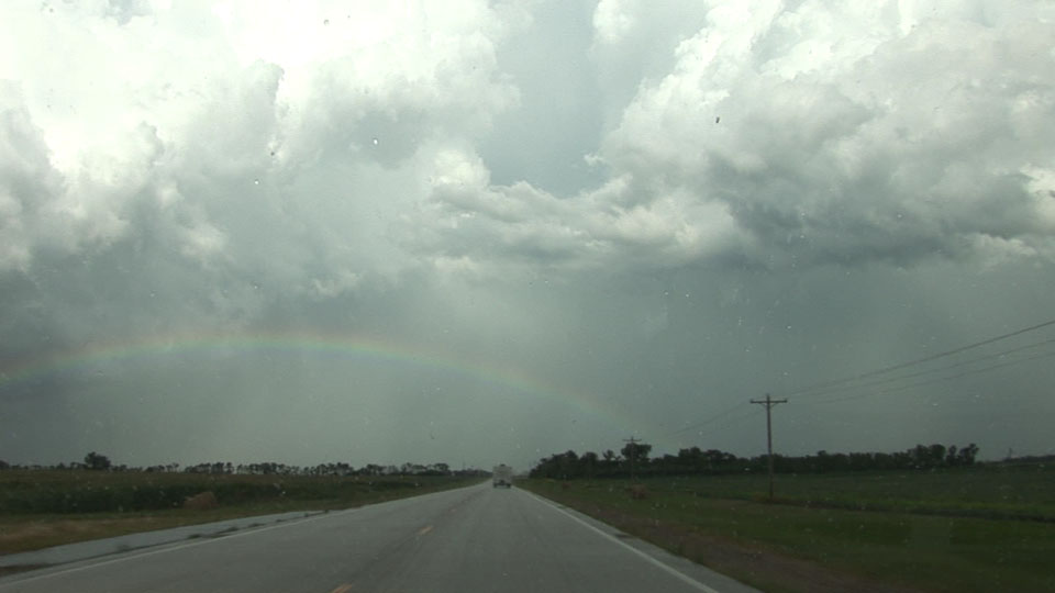
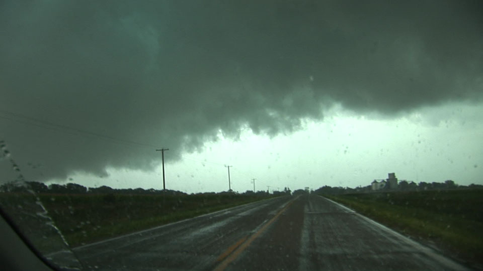
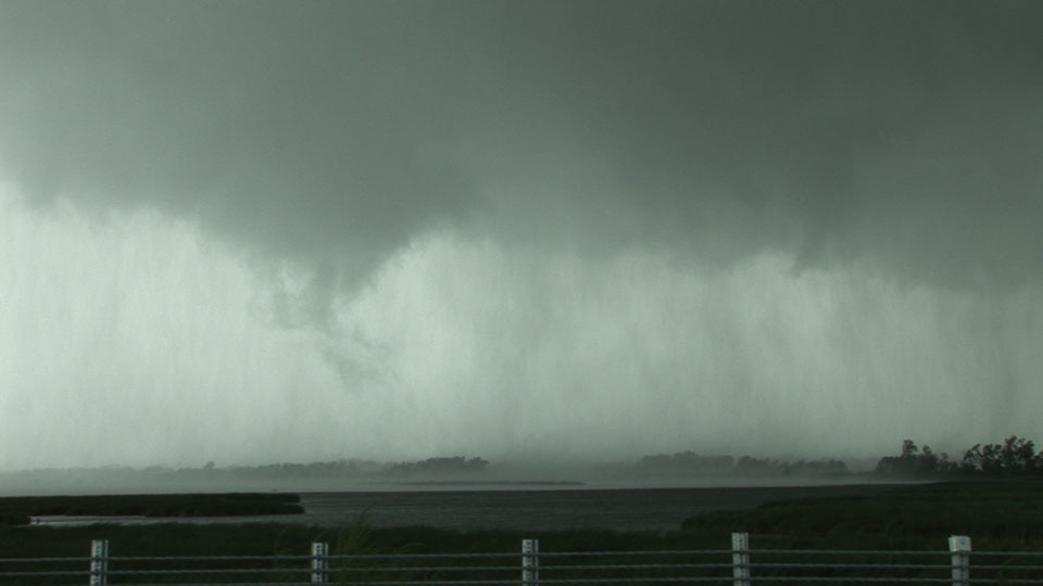
Elevated early afternoon storm near Barnesville, MN.
I drove to Summit, SD hoping initiation would happen west of me. Instead, it happened around me with an elevated line of storms that gradually became rooted in the boundary layer. I was in denial for a bit, but then the cu field cleared to my southwest, and once I looked back northeast, it was apparent that the boundary-layer-based updrafts were unifying with the elevated storms. While I was parked at the Sinclair Station at Summit, Chris Rice and Randy Cooper I went east on 12 to Milbank (stern chase) hoping the best-looking storm would get out of the way so I could get around to the east, but I just ran into the back of it. Bonk, bonk, so I turned around and drove south around the storm. Then another storm merged from the south, then another. This wasn't good.
However, we persisted, and we finally punched in to find a nice mesocyclone with a hefty RFD wrapping around the rear of the storm. We rode the center of the RFD, paralleling the track of the southwestern flank of the storm. The RFD gust front had a shelf cloud that made things look outflow-dominant from our perspective, but it wrapped back around to the north to an action area to the northwest. This action area looked pretty interesting, so we went straight at it. Only when we were close could we see some significant rotation. Just before we drove into Louisburg (and a big grove of trees there), I could see a funnel make contact with the ground. When we got through the tiny town and its trees, I realized the tornado was really pretty close-- looked like it was in a multiple vortex early stage with an occasional snaky, narrow vortex circling around a center of rotation. However, I was getting awfully close (1/4 mile?), and because there wasn't continuous contact, I had a hard time judging exactly where the circulation center was... thinking if I continued north it would pass over me, so I stopped at a dirt road. I think Andy Gabrielson drove right by me at this point and went north up the dirt road.
I lost sight of it then because the circulation apparently weakened below tornado intensity. We continued to MN34 and MN119, where the storm spun pretty hard over the western end of Lac Qui Parle Lake. The storm also stopped its eastward motion as the almost-tornadic mesocyclone spun away about a mile or two to our west-northwest. Then, what appeared to be a bigger wet RFD surge came at us, so we blasted east. Met up with Randy Hill, went farther east, then looked back to see that the cloud base had suddenly raised considerably, leaving only a semicircular rain area where the mesocyclone used to be. That was all for that storm.
We ran into Eric Whitehill, and he and I continued chasing-- back to southeastern ND, where FGF issued a tornado emergency, which was confusing because we could see the base from 50 miles away and didn't see a tornado-- but of course, we were still really far away, so we cannot refute the tornado report. That storm soon weakened. Enjoyed a lightning show on another storm nearby, snapped a couple lightning stills, then headed home in rain most of the way.
Elevated early afternoon storm near Barnesville, MN.
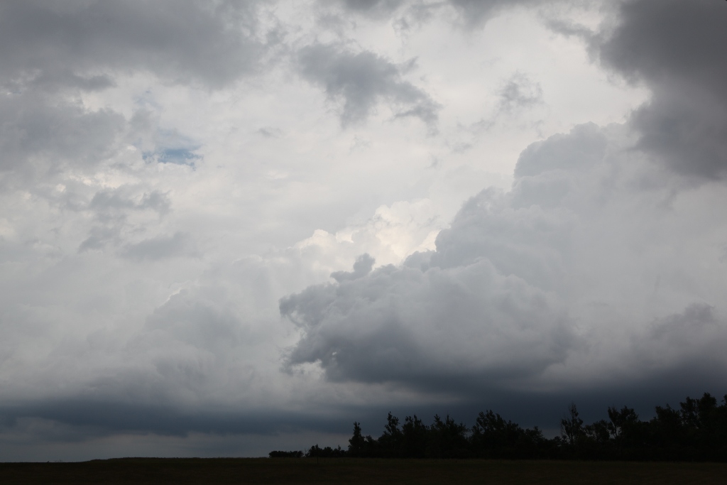
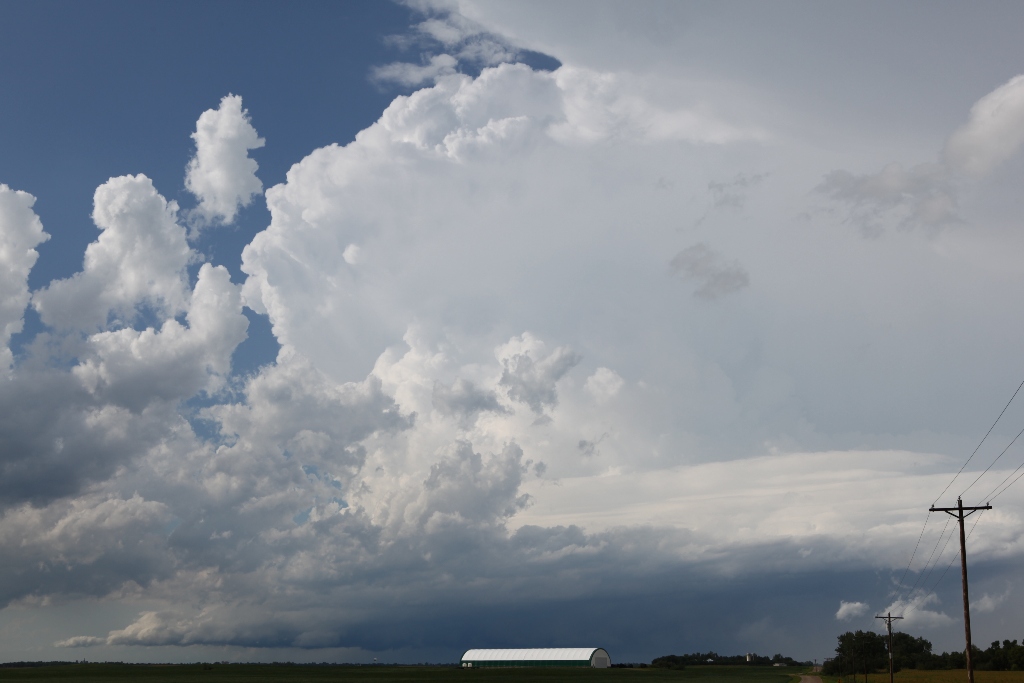
Near Summit, SD. Boundary-layer-based updrafts beneath elevated, weak, moist convection.
Boundary-layer based updrafts grow a bit more.
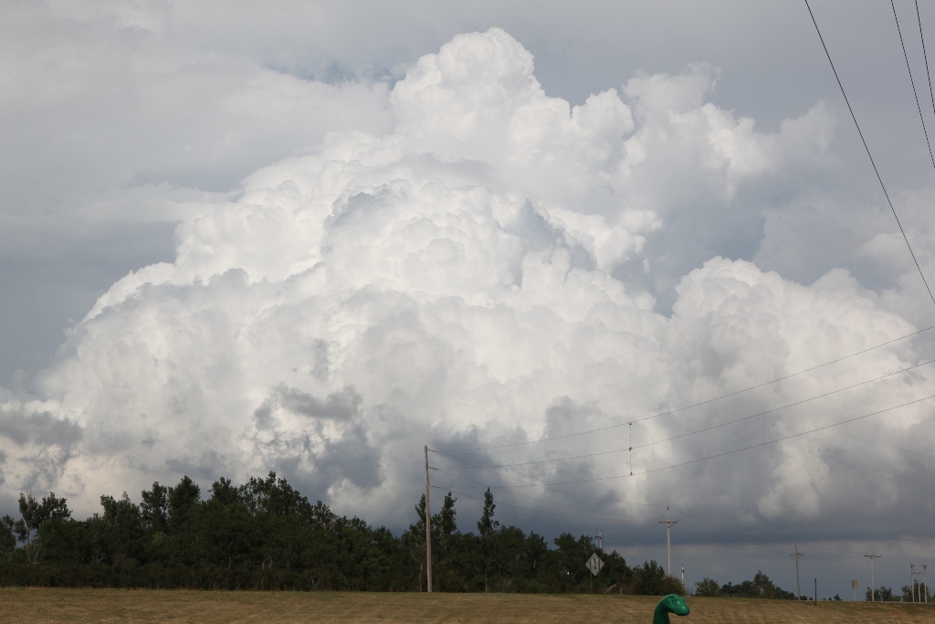
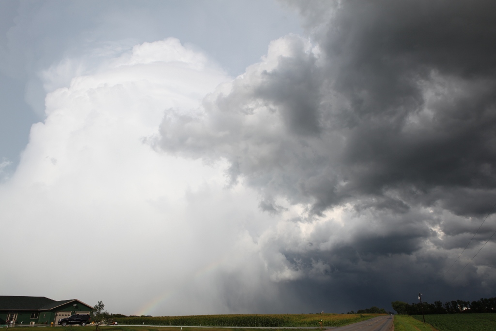
Boundary-layer-based and elevated convection seems to be connected now. The chase is on!
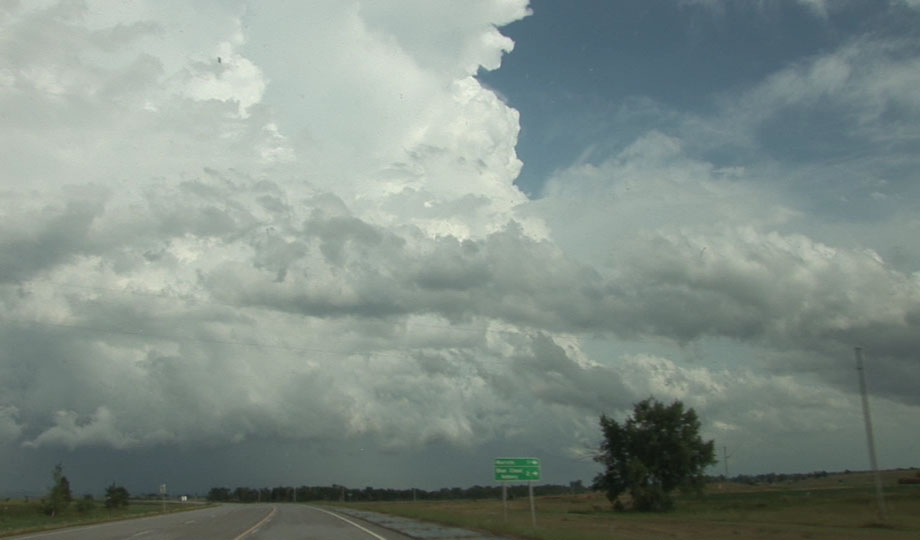
Stern chase.
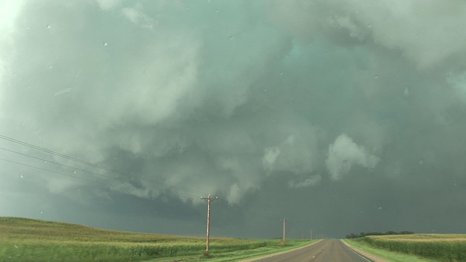
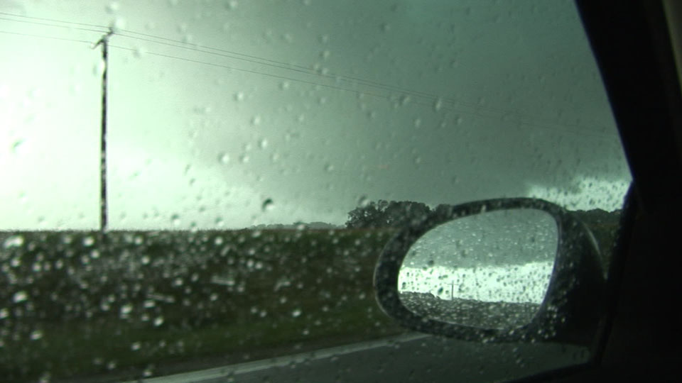
Tornado-warned storm to the north, crossing Big Stone Lake.
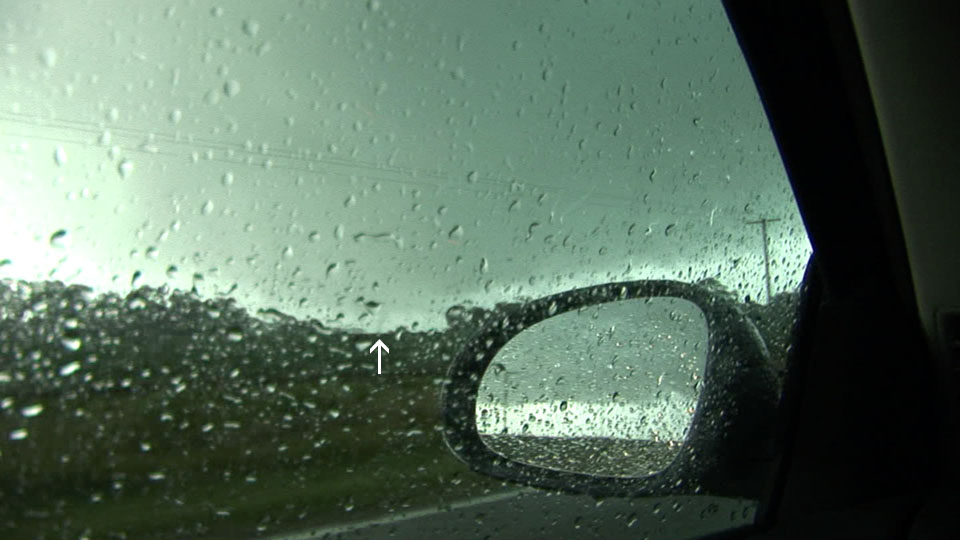
Just southwest of Milbank, SD, trying to get around the core and back on the downshear flank of the storm.
Finally clearing the rain near Bellingham, MN to see the mesocyclone ahead (left 2/3 of picture), but a new storm is merging from the south (right).
Looking north at Louisburg, MN. I am in westerly winds at the core of the RFD. The RFD gust front wraps around me in a horseshoe shape from southwest to south, to east, to north (directly ahead in this picture), and northwest into the action area on the left edge of this picture. Trees temporarily block the view of the very low base.
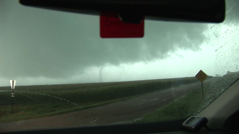
Center of the action area to the northwest. A funnel may be appearing on the left side of the base.
As I continue northwest, a small break in the trees affords me a view of a condensation funnel to the ground. Tornado!
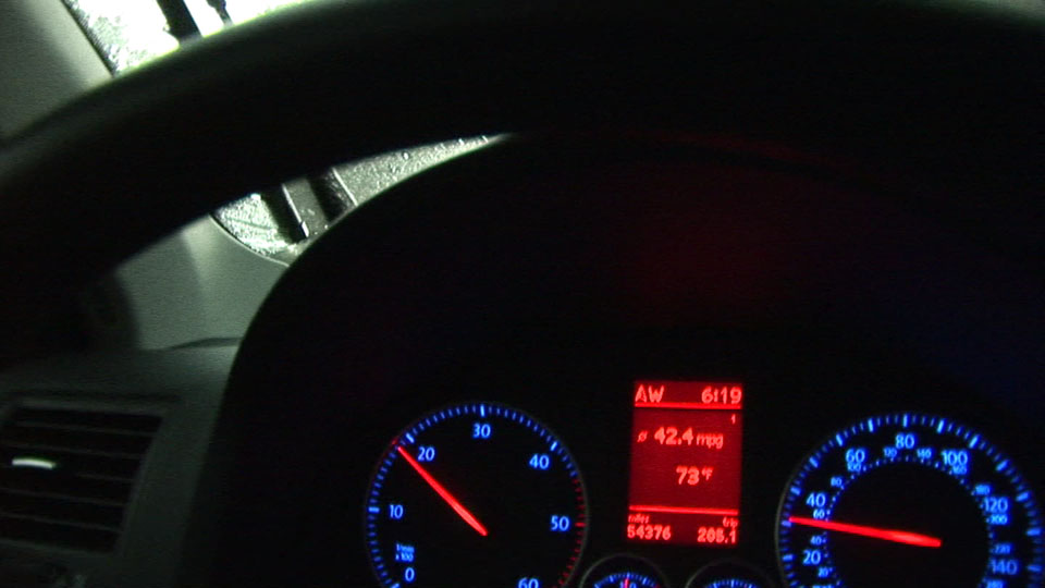
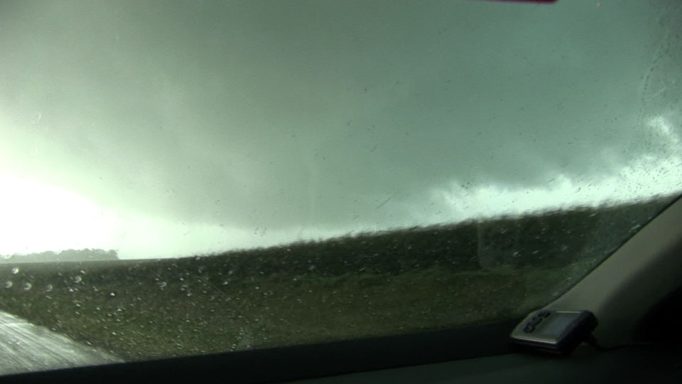
Coming out of Louisburg-- a check of temperature, which probably equals dewpoint here.
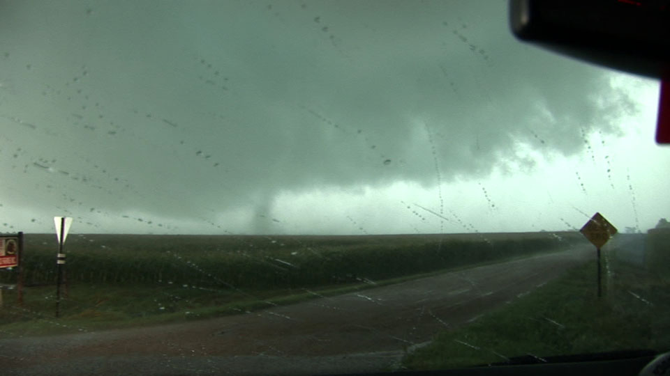
Small, snakelike vortex around a larger funnel.
Another vortex circles the main center of rotation.
Tornado. Chris Rice and Randy Cooper deserve credit on account of their navigation assistance. I'm glad they took the time to introduce themselves at Summit.
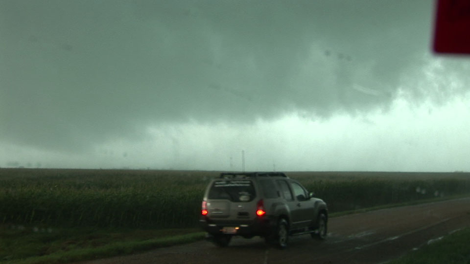
Andy Gabrielson getting closer.
On Lac Qui Parle just southwest of Appleton, the storm tries to produce again, but there is nothing more than wrapping rain curtains and scattered, ragged funnels. At this point, I think the storm seems to be detaching from its boundary layer-based updraft, but radar shows that collison with a line to the south is the more likely suspect.
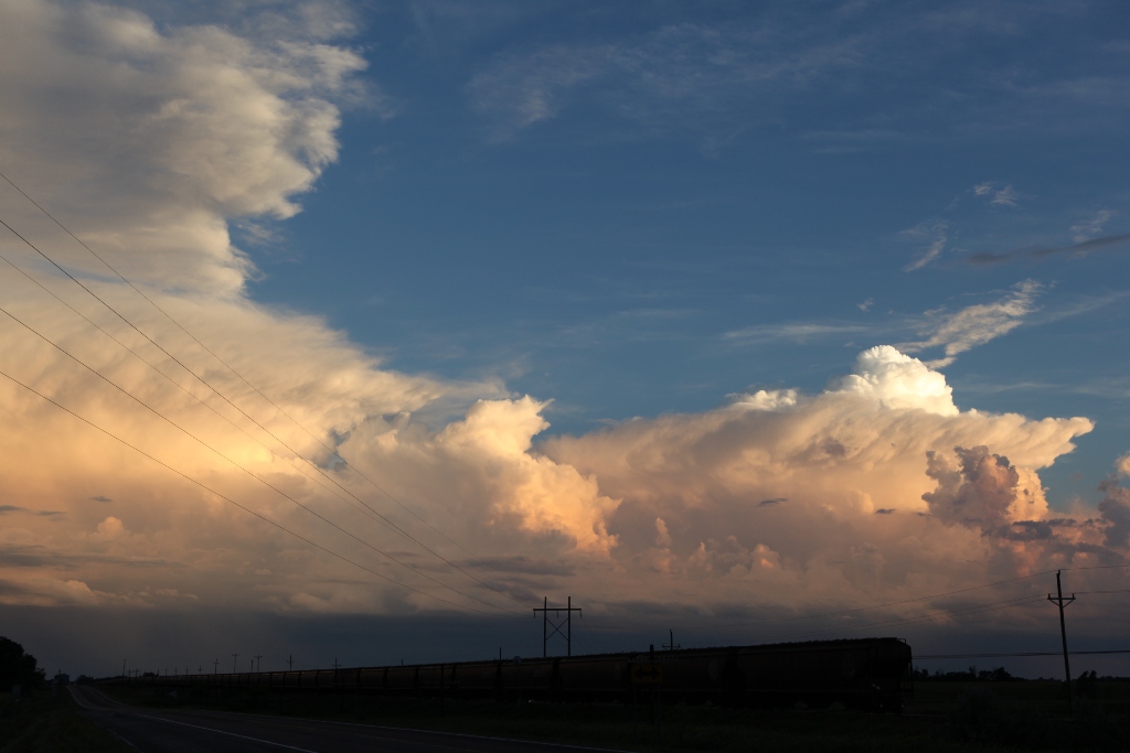
Northwest of Morris, MN looking back south at new storms developing.
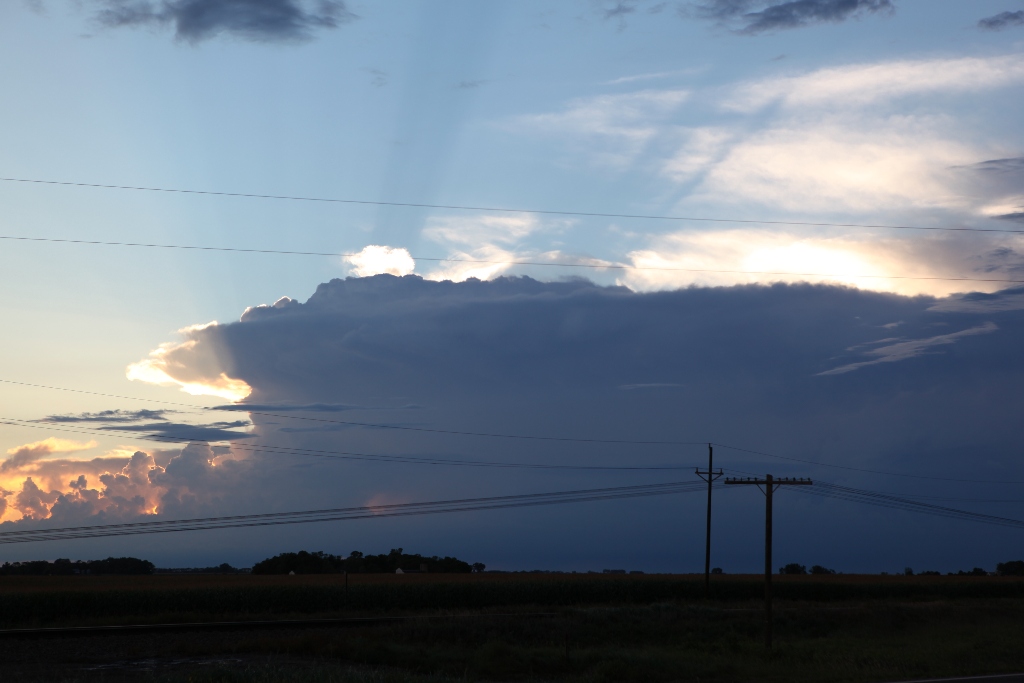
This is a tornado-warned storm in southeastern North Dakota. Note the narrow updraft. We would soon see the base from more than 50 miles away.
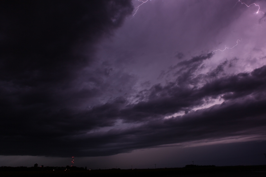
Near Galchutt, ND on a storm with nearly continuous lightning.
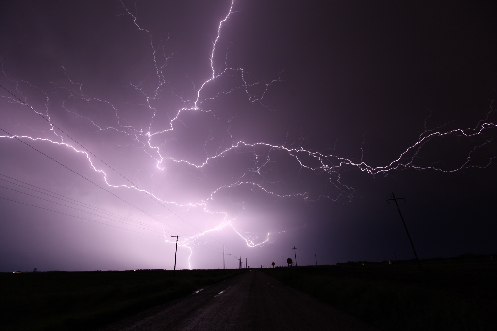
Near Glyndon, MN (east of Fargo), the storm complex puts on a nice display of spider lightning.
Video summary:
Tornado only: