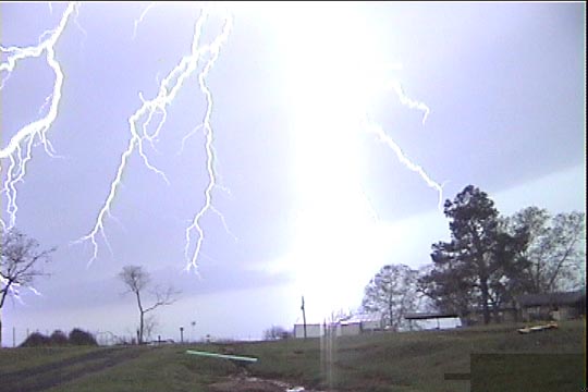
Lightning.
Was still north of the Limestone Co. cell when it went tornado-warned (Thornton tornado). Had to do a core punch in hopes of intercepting the tornado near Fairfield-- kind of a risky thing to do when you know there's a damaging tornado on the ground with the storm, or at least has been. When we got to Fairfield, there was no evidence of any circulation with the storm, and the next cell was already coming out of Robertson county.
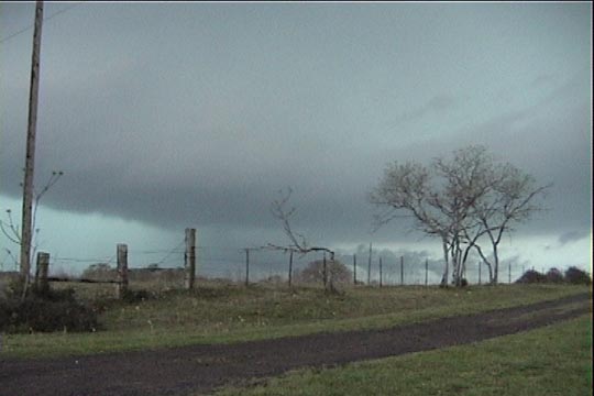
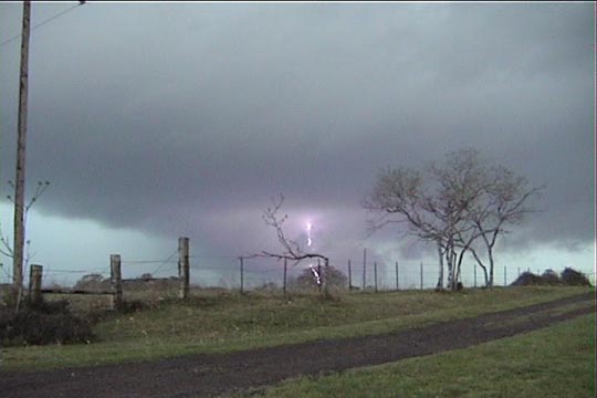
Exited at Buffalo and drove SW on US 79 to Jewett. Looked north to see a dark band of clouds (inflow band or shelf cloud?). Based on movement indicated in warning text and the location of the flaring anvil above us, we moved north slightly from Jewett. Hmmm.... no severe cell here, but I got out of the car to hear lots of CGs through the haze to our southwest (reminded me of July 7, 2000 hearing those bolts in Alexandria), so we went back through Jewett and south from there on TX 39.
Soon, a vaguely barrel-shaped storm became visible to the west with a distinct lowering to treetop level. We pulled over and witnessed a nice CG barrage to the northeast of the updraft/meso.
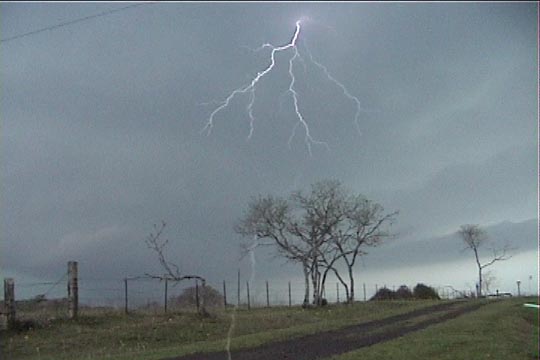
Lightning.
It was a nearly continuous crackle. There was small beaver tail pointing from the updraft.

Beaver Tail
a typical HP wraparound core to the south of the updraft base, and low-level scud was being drawn into the notch. Saw a low-level inflow band wrap briefly into the notch/wall cloud, but the motion appeared much more convergent than rotational. There was certainly no screaming inflow, but light winds were still blowing the right way.
Hazy mesocyclone: rain-filled RFD/outflow far left, lowering in left/center, beaver tail on right
Wall cloud (center), inflow band (right).
Rain-filled meso (left), wall cloud (center).
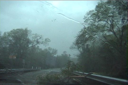
Branch on road southeast of Buffalo. Trees were down in this area as well.
Drove back north to DFW area to get another intercept on a severe-warned line up there, then back to Norman.
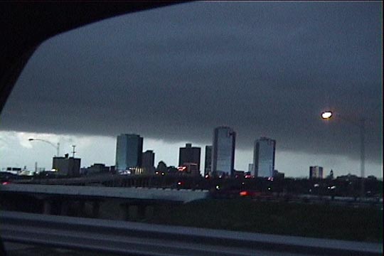
Ft. Worth, TX with shelf cloud.
Our Jewett cell looks like it was the one that eventually produced a tornado near Elkhart. It was tough (as expected in the forest). In order to be able to stay with the storm, we'd have to have stayed so far ahead of the action area that we never would have seen the tornado anyway. Maybe we would have been in better position had we not stayed in the notch quite as long, but then again, the action area wasn't moving conveniently along a nice road.
No tornado intercept, but I was happy with this chase. I have a strange fascination with HP cells-- they're dark and mean. Territory was very tough, but anytime I can find an HP supercell and look it in the eye, I'm happy. The chase reminded me of June 13, 1998 when we had to let the first storm go, but there were others developing farther west.