July 5, 2021 Sever Storms
Central Wyoming
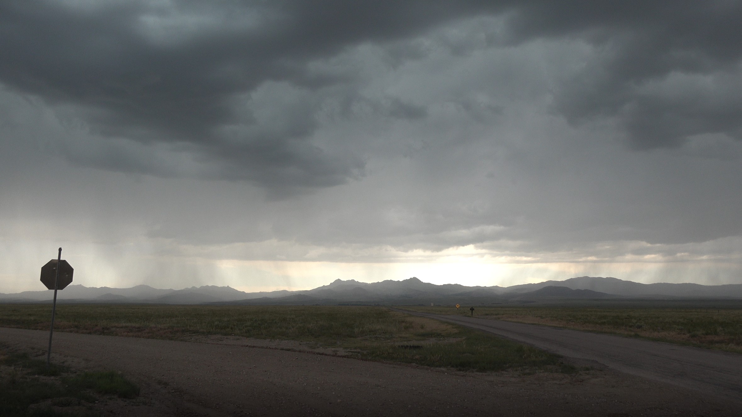
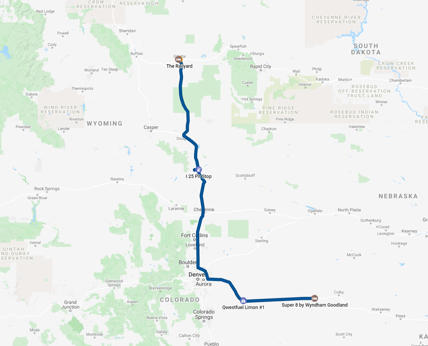
On the second day of our tour, the risk area moved farther north into Wyoming, so we left Goodland and drove back west through Denver and then north up I-25. I was somewhat hoping for some interesting, discrete storms as the models indicated some more isolated cells in central Wyoming, but everything ended up being quite multicellular and high-based, which afforded little opportunity for really good storm photography. We exited I-25 at Wheatland and drove west of town a bit to find a high spot to watch the storms approach. They rapidly moved overhead and were soon to our east. There was relatively little drama in all this as there was only light precipitation around us (a lot of virga), yet there were a few interesting cloud-to-ground lightning flashes from time to time.
Given that the risk for storms was a little better for the next day in Montana, we opted to continue north on I-25 once the storms got to our east. This took us up to Gillette, where we enjoyed a nice dinner at the Railyard Restaurant downtown.
 |
|---|
| A look west at our high-based storms near Wheatland, Wyoming. |
 |
|---|
| Our route for the day. |
Back to Storm Chases | Home