July 5, 2022 Storms
Montana
Yes, it was the third day in a row of chasing in Montana. There was a slight risk of severe storms as, once again, easterly flow at the surface, underneath westerly flow aloft, provided good conditions for supercells in Montana. Additionally, the storms from the evening before had pushed across the remainder of Montana into South Dakota and were now providing quite a show over eastern parts of South Dakota. Pictures of the South Dakota event showed a green illumination of the sky unlike anything I've ever seen. A lot of storms have a sort of green hue, but this storm had a very obvious, almost flourescent green glow.
We drove west to catch more storms developing off the high terrain in central Montana.
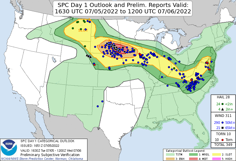 |
| Day 1 Outlook from SPC. No, this is not a copy from yesterday. |
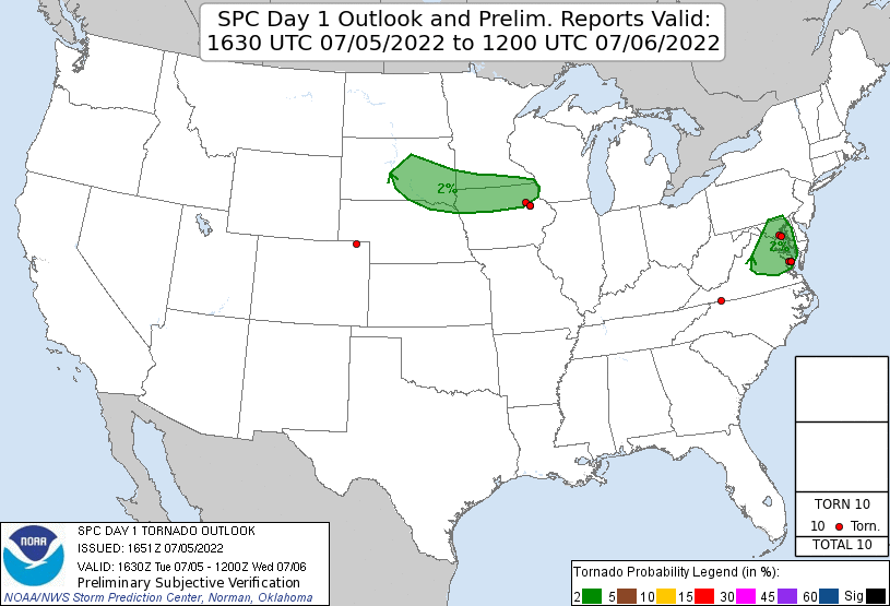 |
| Tornado risk area. |
This ended up being somewhat less of a supercell day, at least initially. The storms developed early. We took the same road back west toward Roundup that we had taken the day before. This area was really not the greatest for getting a quick lunch, and storms were developing early, so we stopped at a local grocery store in Roundup and grabbed some food to take in the van before continuing to Grass Range. When we arrived at Grass Range, we realized we had a little more time to watch the storms develop. We drifted west on 200 and sat between updrafts for a bit.
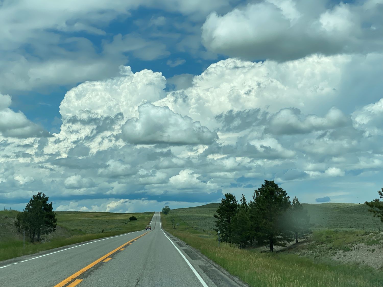 |
| The first towers develop over the mountains. |
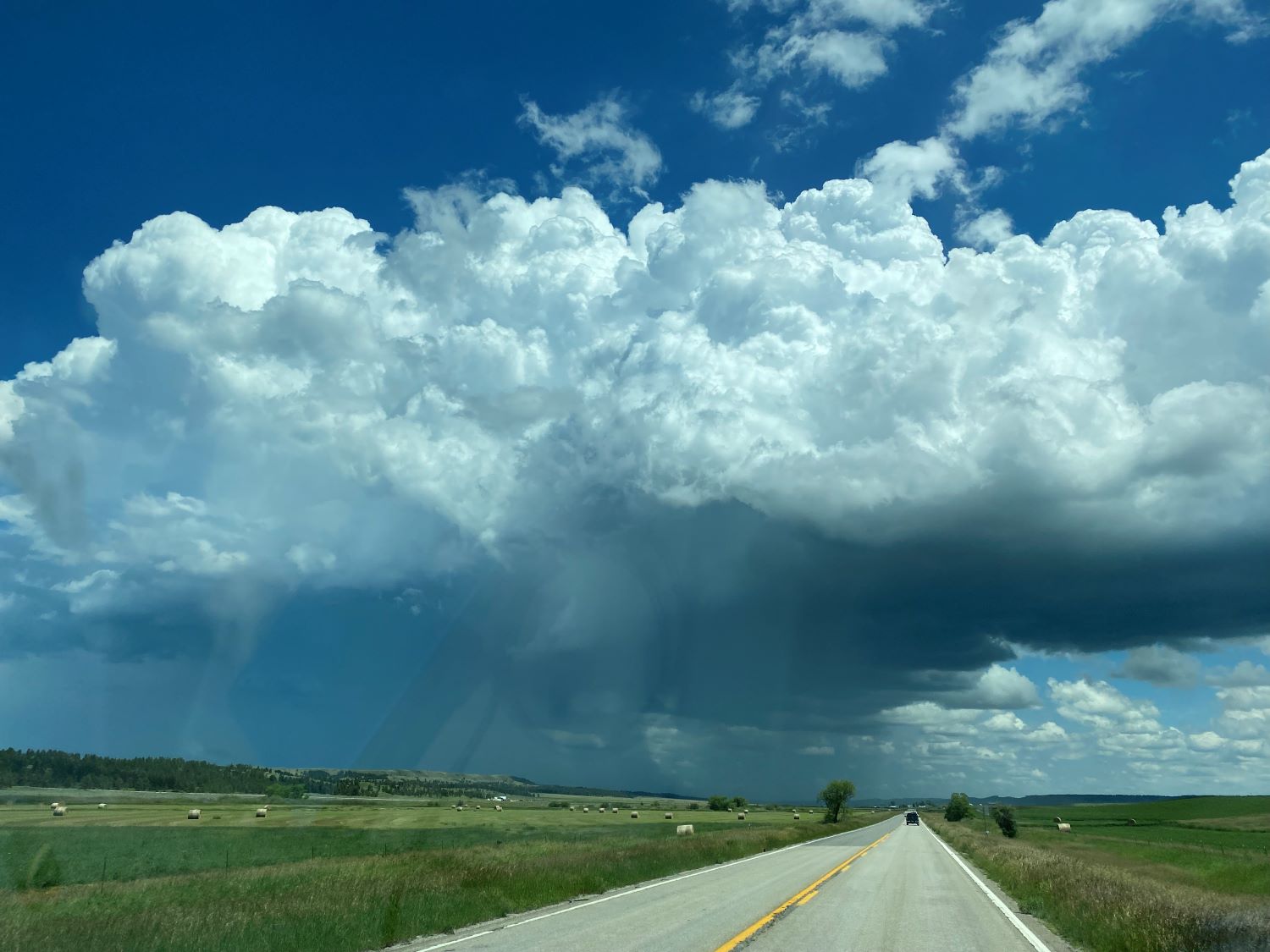 |
| A developing storm east of Grass Range viewed from our location west of Grass Range. |
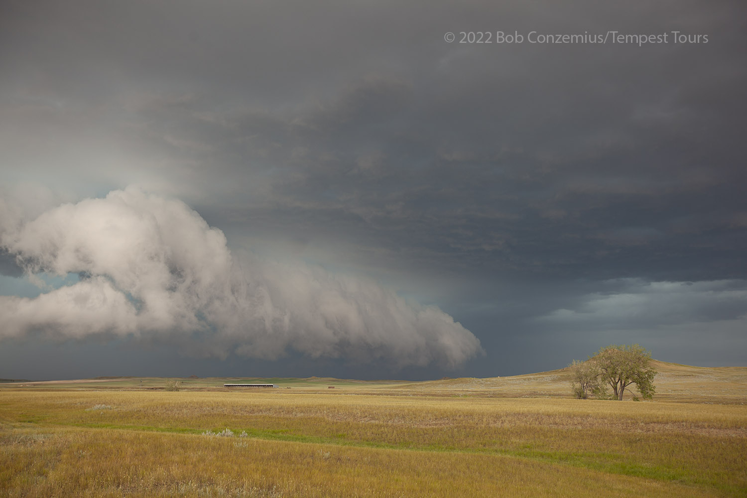
Eventually, we found one that looked a bit stronger, but this was already over the road that would have kept us in front of it, so we drove back to Grass Range and then north. There, we would have a chance to be in front for a bit before the core came over our north-south road (the only east option was back at Grass Range). As soon as we saw the base of our target storm, it was apparent that it was outflow-dominant.
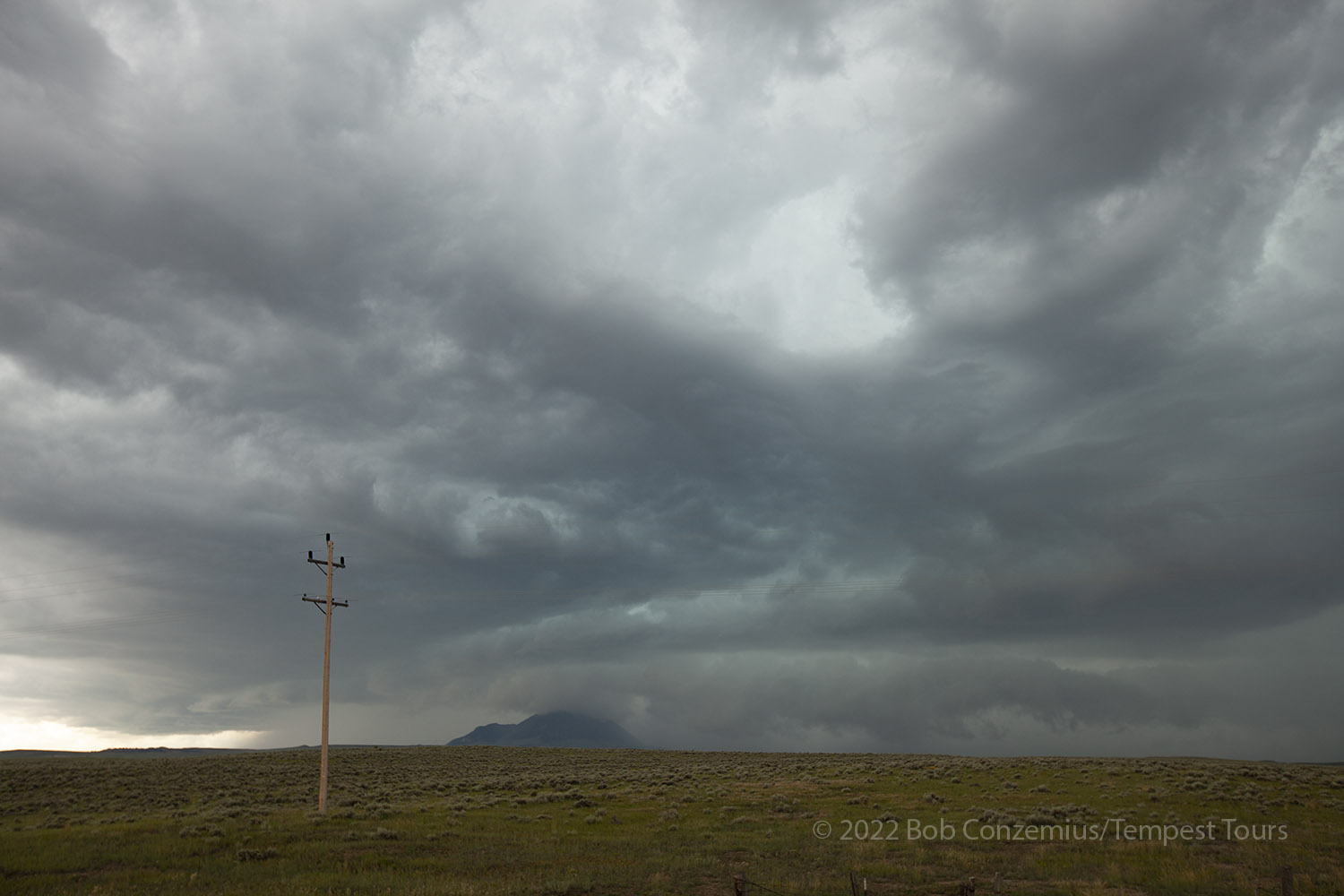 |
| The first look at the storm north of Grass Range. The shelf cloud scraped the tops of the mountains. |
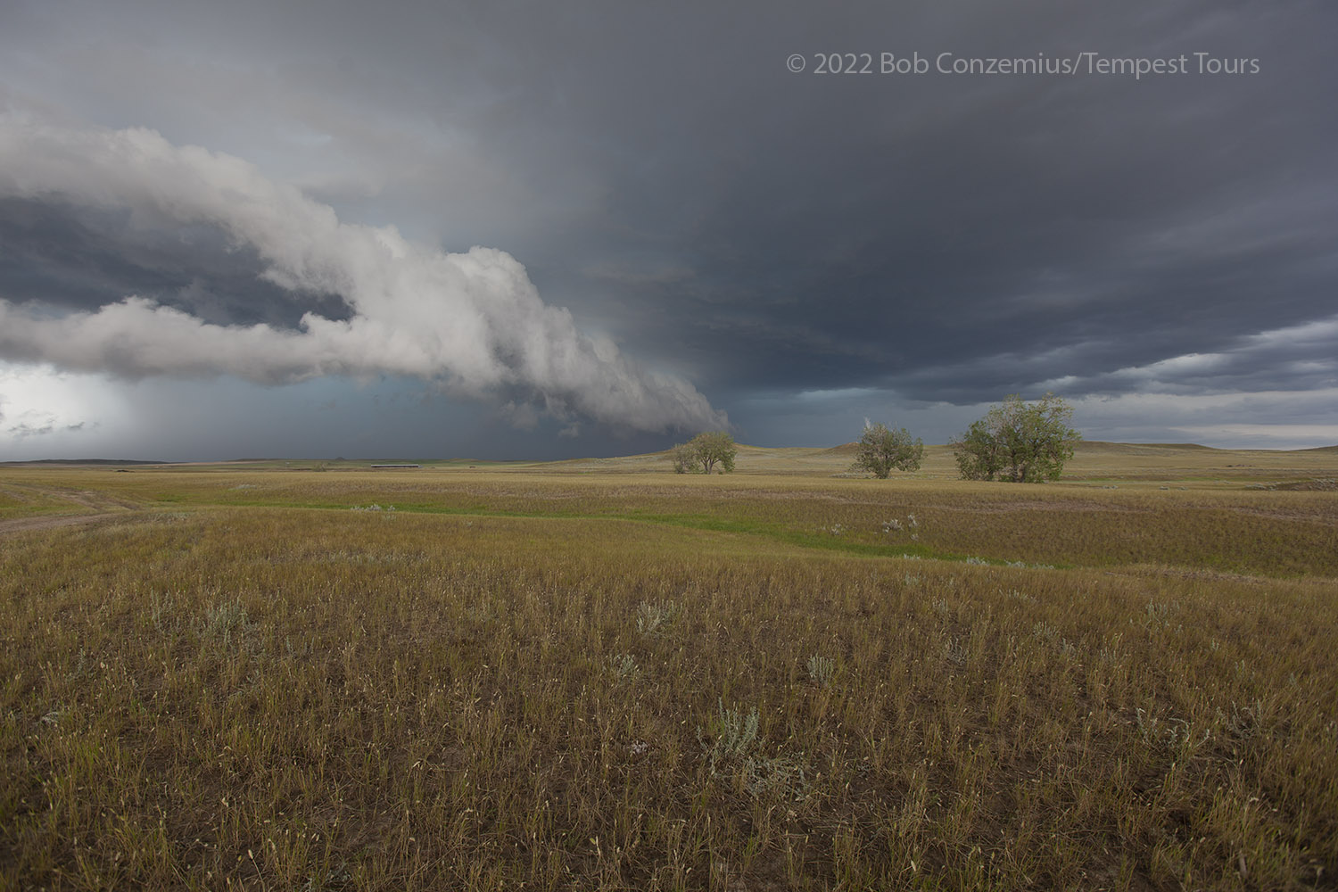
We took a few pictures, drove back to Grass Range, and started east on Highway 200. We had a bit of work to get out in front of the core, but soon we had some room. The storm evolved a bit as we drove out farther in front to give ourselves some time to do long stops for photography. By the time it caught back up to us, it was a little bit more supercellular in appearance. We made a couple decent, long stops on Highway 200 to document the storm as it drifted east. One of these stops was about halfway between Winnett and Mosby. The second was between Mosby and Sand Springs. We made a third stop east of Sand Springs. The fourth was on the east side of Jordan.
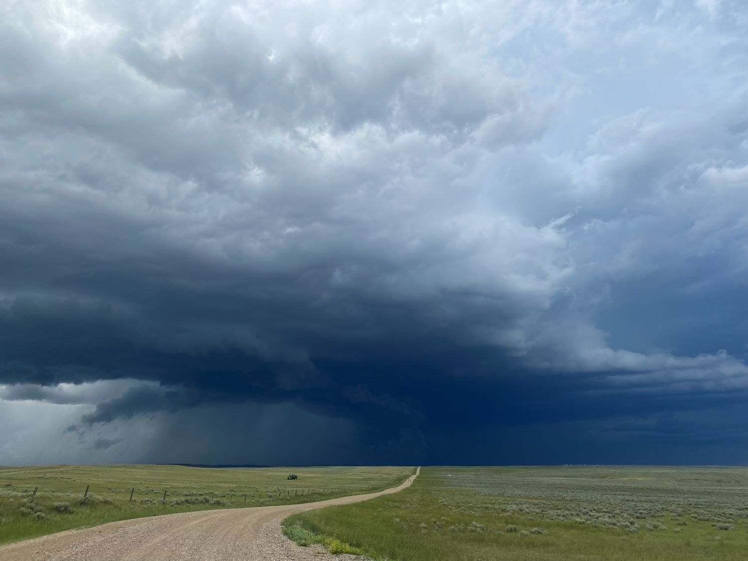 |
| Storm between Winnett and Mosby on Highway 200. |
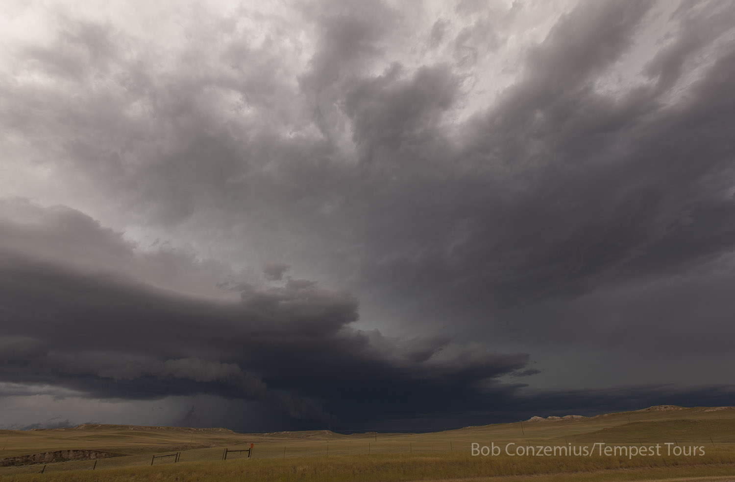 |
| East of Grass Range on Highway 200 (between Mosby and Sand Springs), the storm develops a bit of a collar cloud. |
 |
| Cell phone shot from a location east of Sand Springs. |
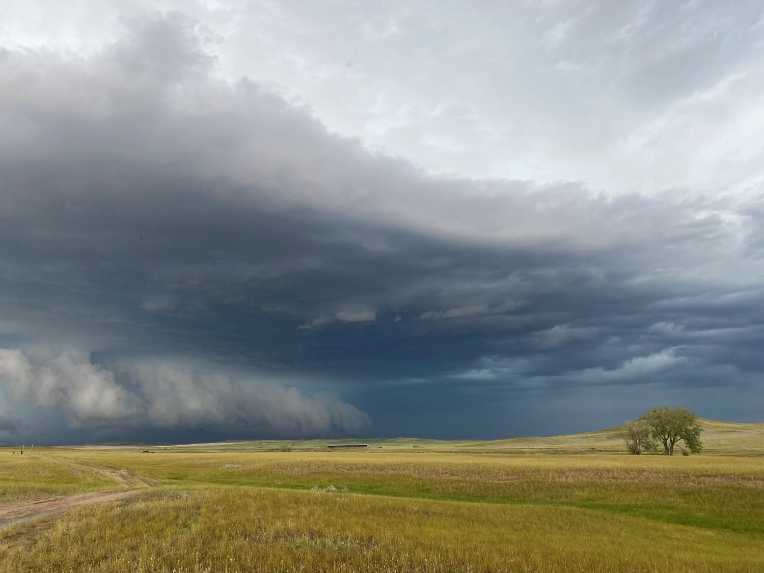
 |
| The storm is a little more supercellular now northeast of Sand Springs. |
 |
| Here's a wider view of the same scene as in the previous picture. |
 |
| Cell phone picture from the east side of Jordan. |
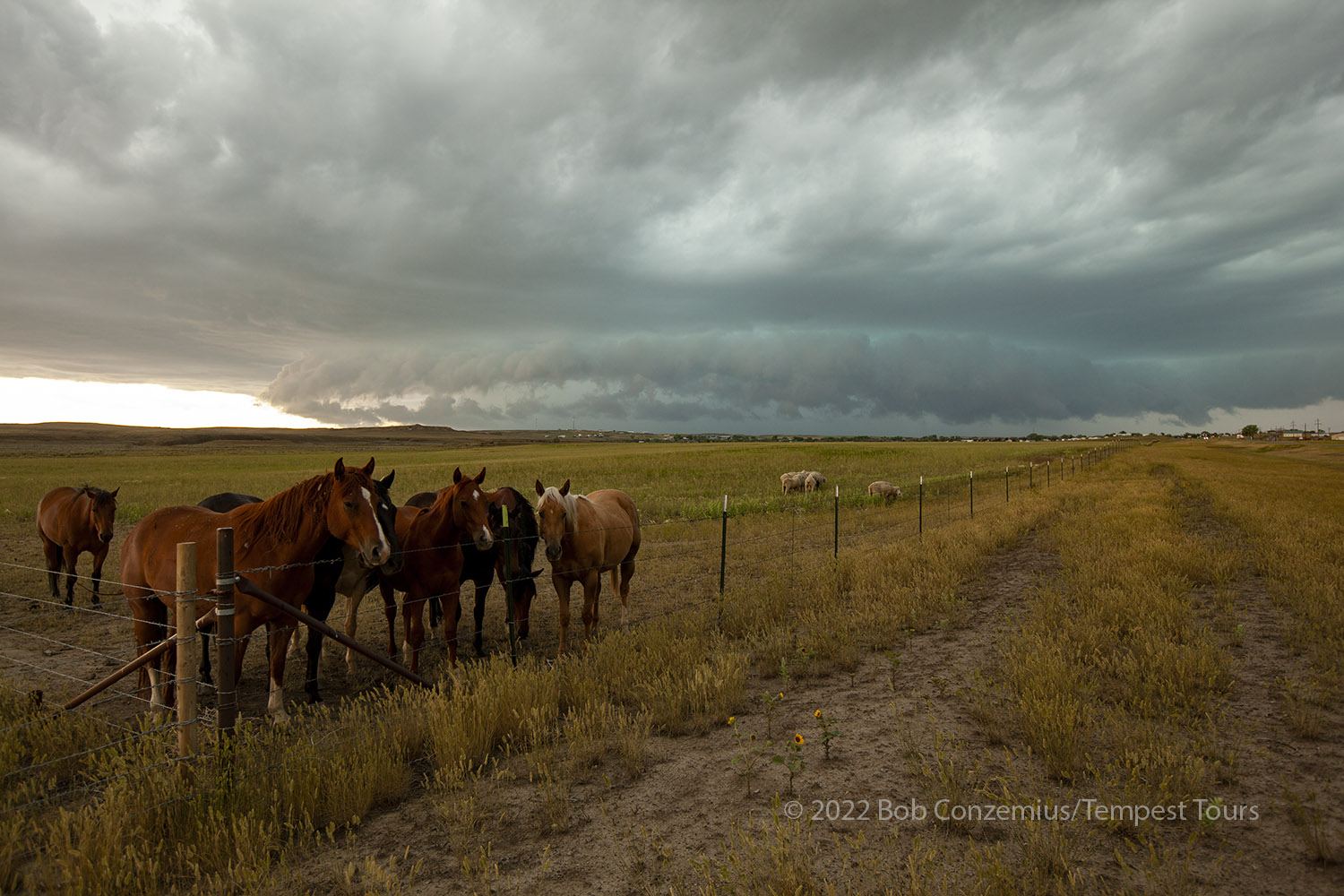 |
| Here we are, on the east side of Jordan, enjoying the storm and some horses. |
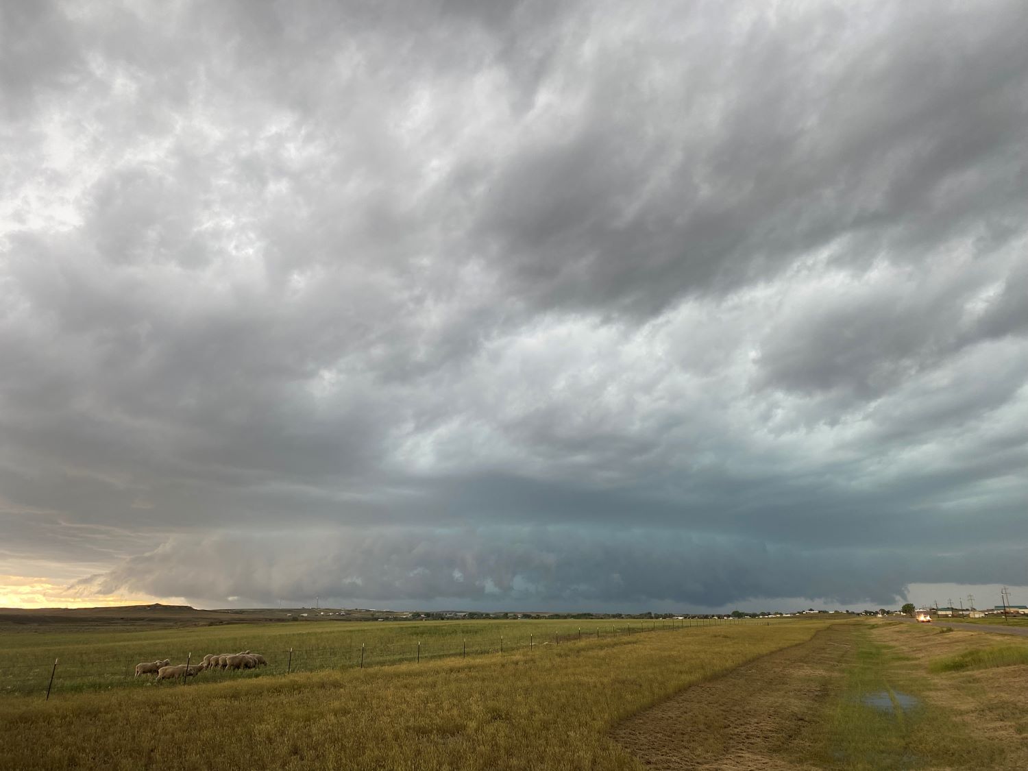
From this point, the storm structure faded fast. We did not have much of a target from this point, but we were committed to an east route. We stopped at the "Flowing Wells" rest area between Jordan and Brockway and decided what to do next. We booked rooms at the hotel we had stayed at two nights earlier (Hotel Glendive Yellowstone River) then started east toward our hotel.
On the way east, the storms started to really perk up again on radar, but we had gotten quite a bit ahead, so we rounded the curve at Circle, to head southeast toward Glendive, and let the storms catch up to us a bit at sunset. The scene was rather dramatic with supercells backlit by the setting sun.
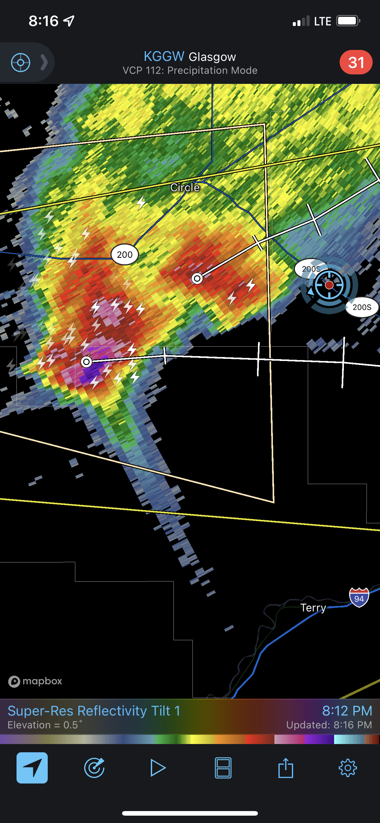 |
| Radar image of our approaching storm. |
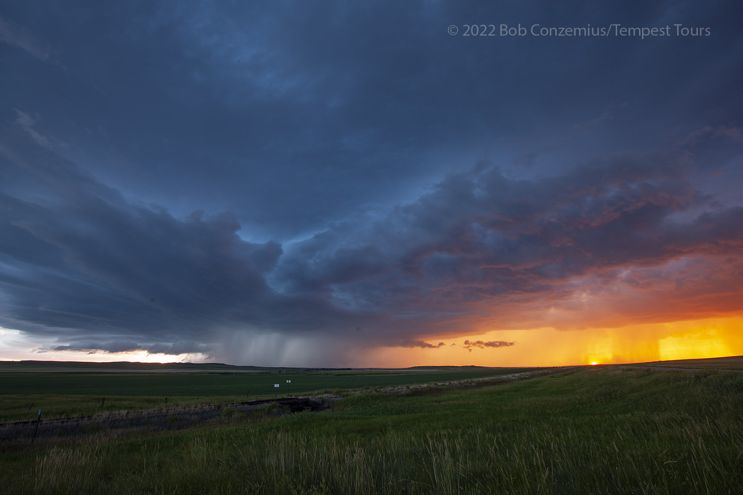 |
| Storm between Circle and Glendive. |
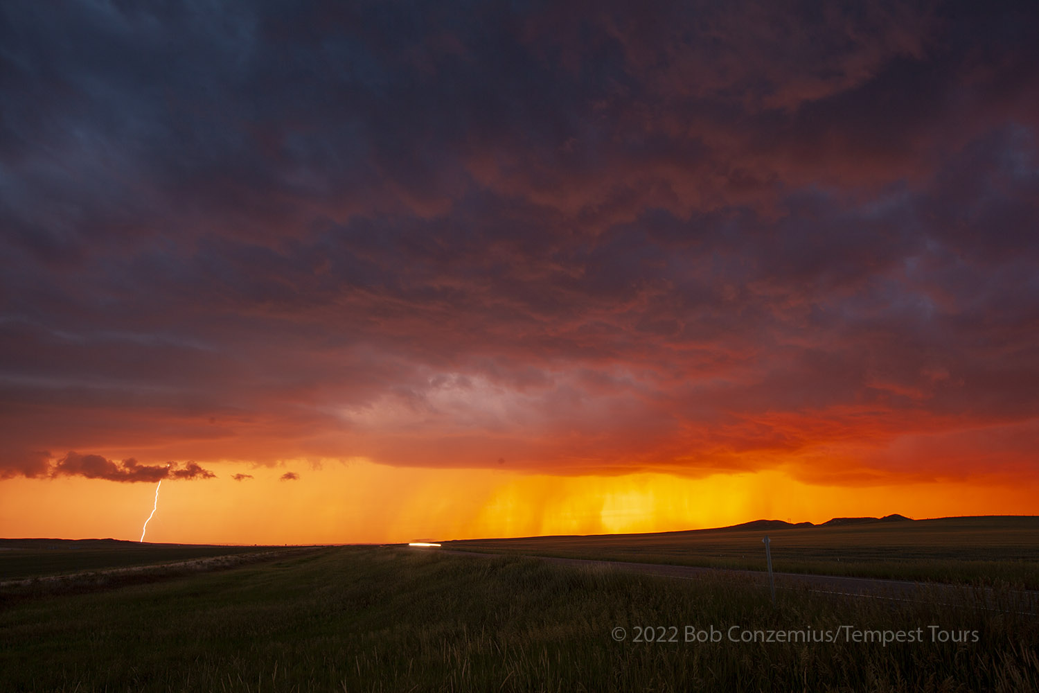 |
| Looking northwest on Highway 200S, the sunset with cloud-to-ground lightning. |
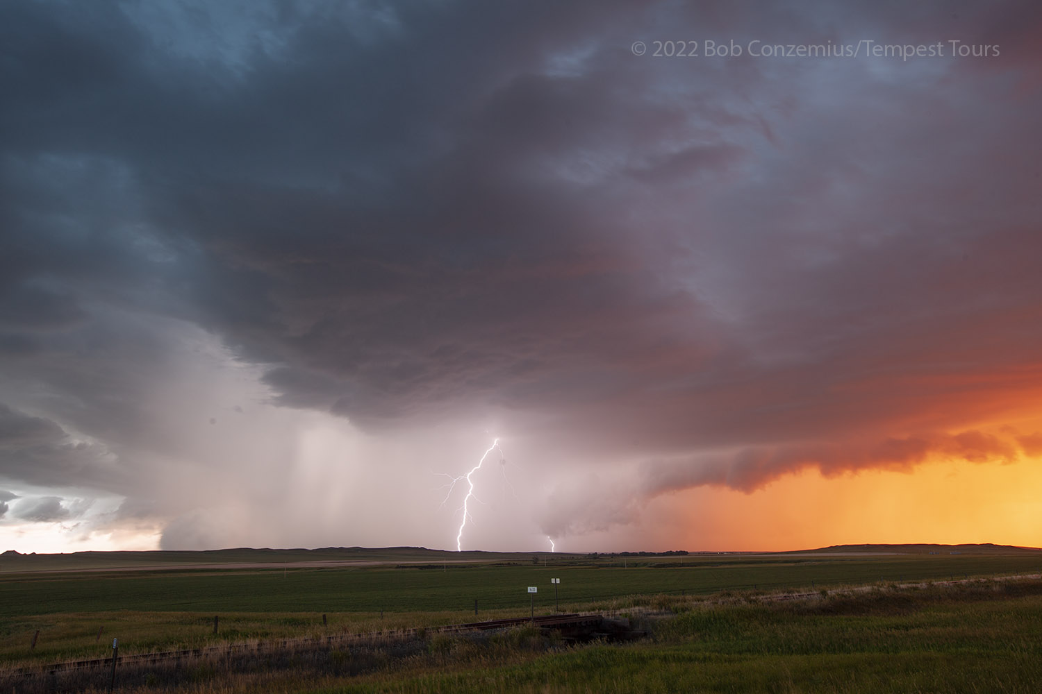 |
| Here's a bit of a closer CG. |
Once again, as we were pulling into our hotel, the family that ran it was out at the entrance, and we had to be careful not to hit them as we entered the driveway to the hotel. It was an interesting place. The family was in the middle of remodeling the place, so I'm hoping everything turned out nicely for them.
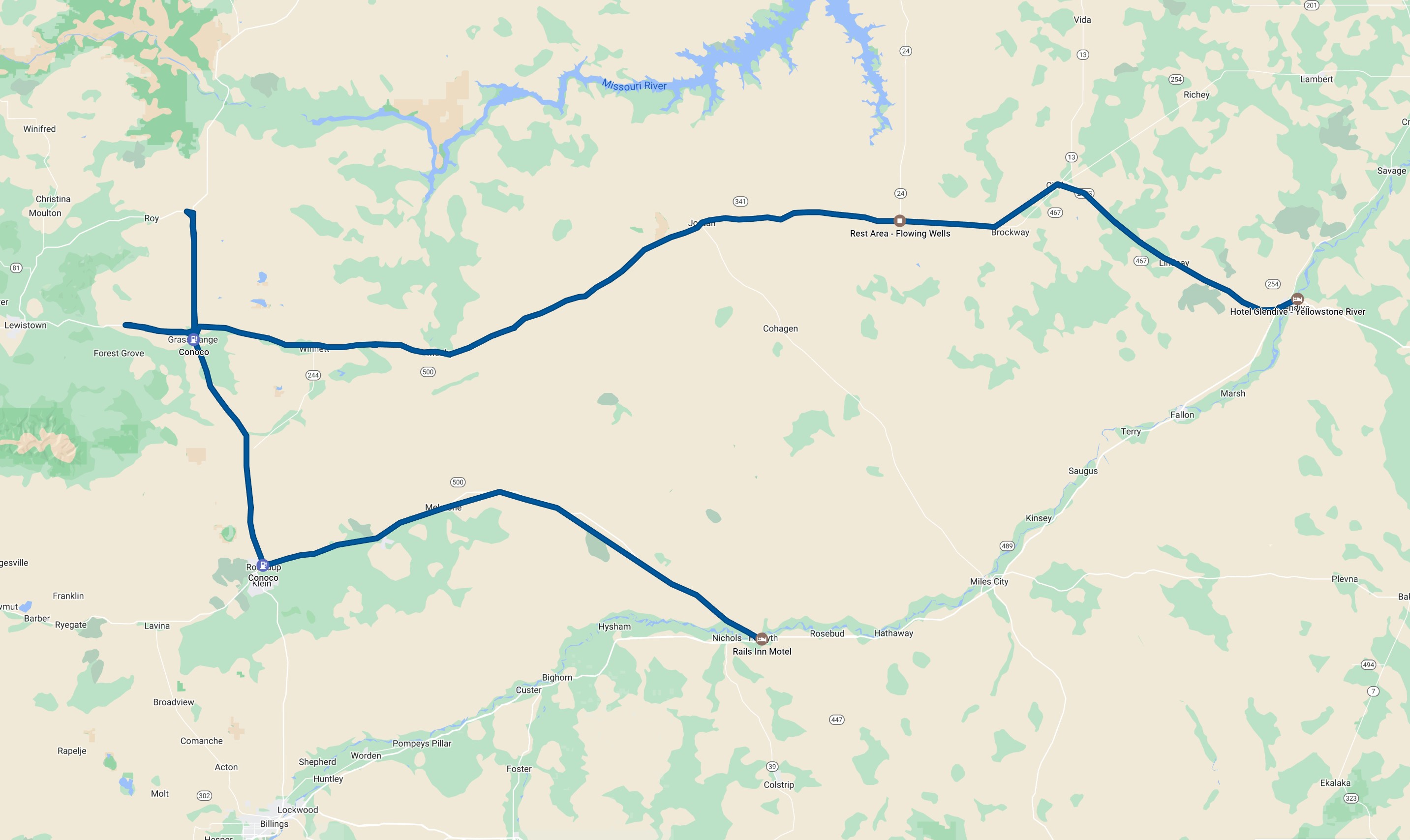 |
| The roads we travelled today. |
Back to Storm Chases | Home