August 20, 2021 Storms
Northern Minnesota
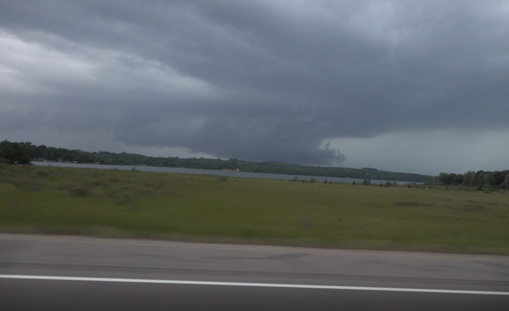
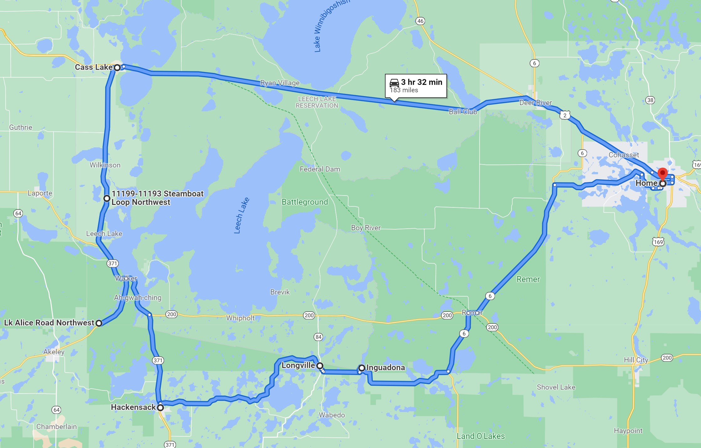
There was a slight risk of severe storms in central and northern Minnesota, so I decided to chase after work. I thought my best chance for intercept was to drive straight west on Highway 2 and then decide where, along the line, the storms looked best. When I got to Cass Lake, the only interesting area along the line was to my south, and so south on MN 371 I went. I got through Walker and drove southwest on MN 34 in order to get closer to the storm of interest. I could not see much over the trees, but it was apparent there was an action area under the storm. It would pass to my north, so I drove back to Walker and then north of Walker to get a closer look.
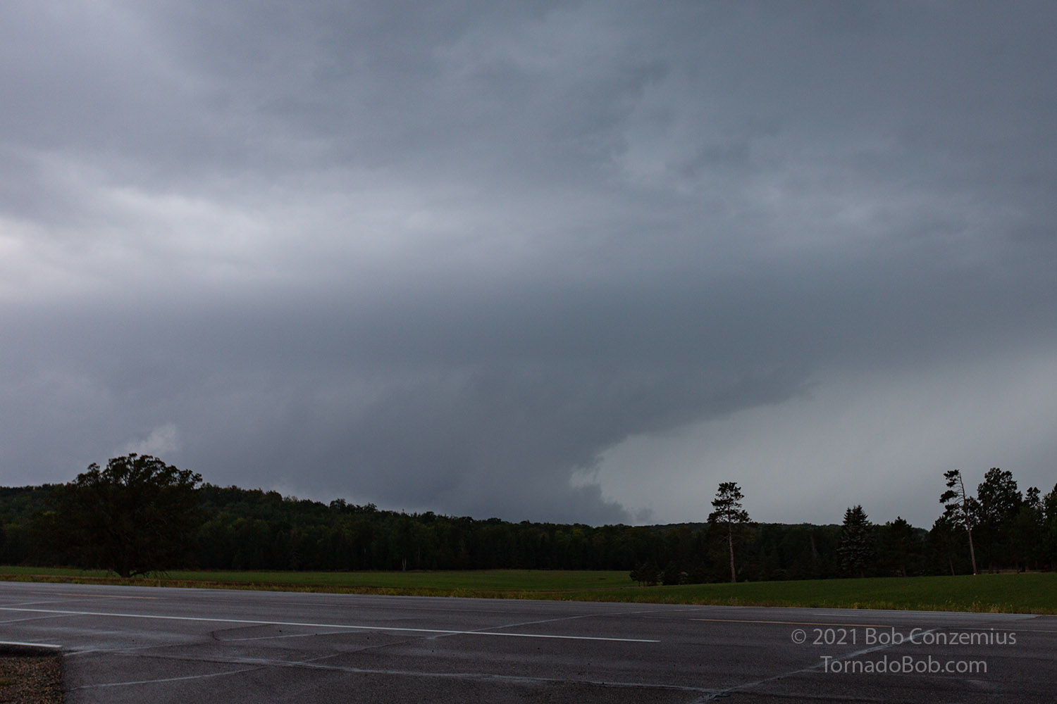
I found a couple of clearings and coudl see a large wall cloud to my west. The storm may have had a severe thunderstorm warning for a bit, but I wasn't paying close attention, and if it was indeed warned, the National Weather Service let the warning expire. I stopped at a good viewing spot on 371 to take a couple pictures as the wall cloud dissipated. I then looked farther south for more action along the line. As I was in this area, I learned of a tornado report or two in the more favorable tornado-producing areas in central Minnesota. Given what I was seeing, I was not surprised there were tornadoes farther south.
 |
|---|
| A wall cloud appears over the trees, northwest of Walker. |
 |
|---|
| I stopped to get a proper still photo of the wall cloud. |
I got to Hackensack and found another stronger cell in that area, but the structure was not very interesting, and it was getting dark. I stopped for a little video then headed home.
 |
|---|
| This was the route I drove. |
Back to Storm Chases | Home