April 27, 2022 Supercell
Texas Panhandle
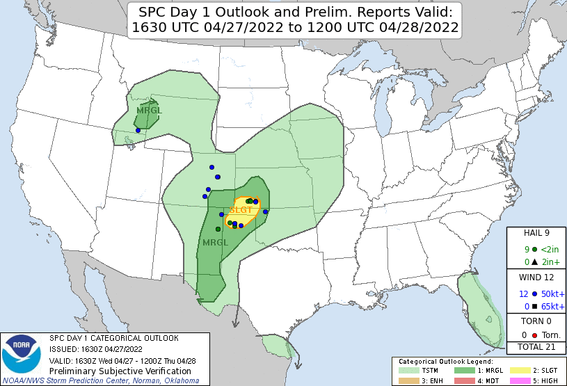
A slight risk of severe storms was in the forecast for parts of the Oklahoma and Texas panhandles. It looked like the storms would develop over the higher terrain to the west in New Mexico and southeastern Colorado and then drift into the target area.
 |
|---|
| The SPC 1630 Day 1 Outlook. |
 |
|---|
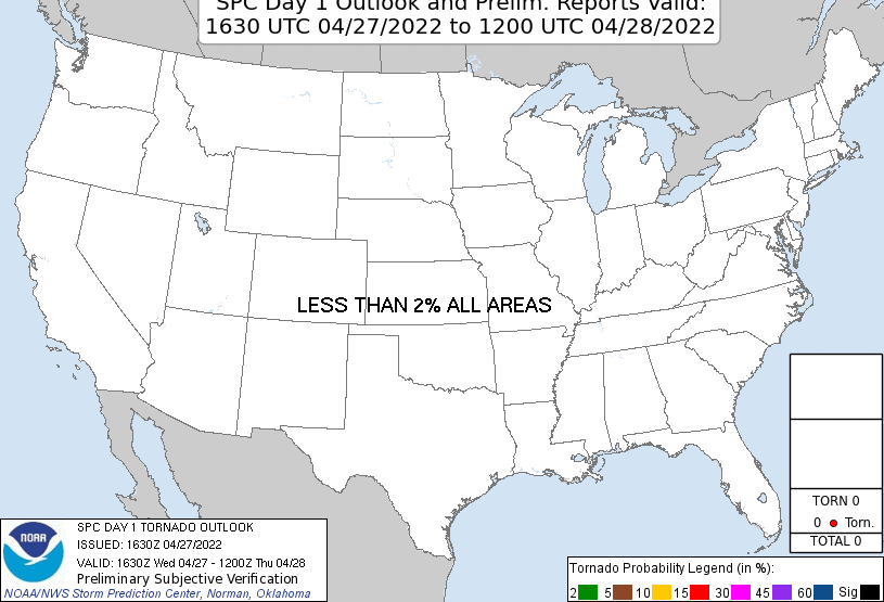
| The SPC 1630 Day 1 Tornado Outlook. |
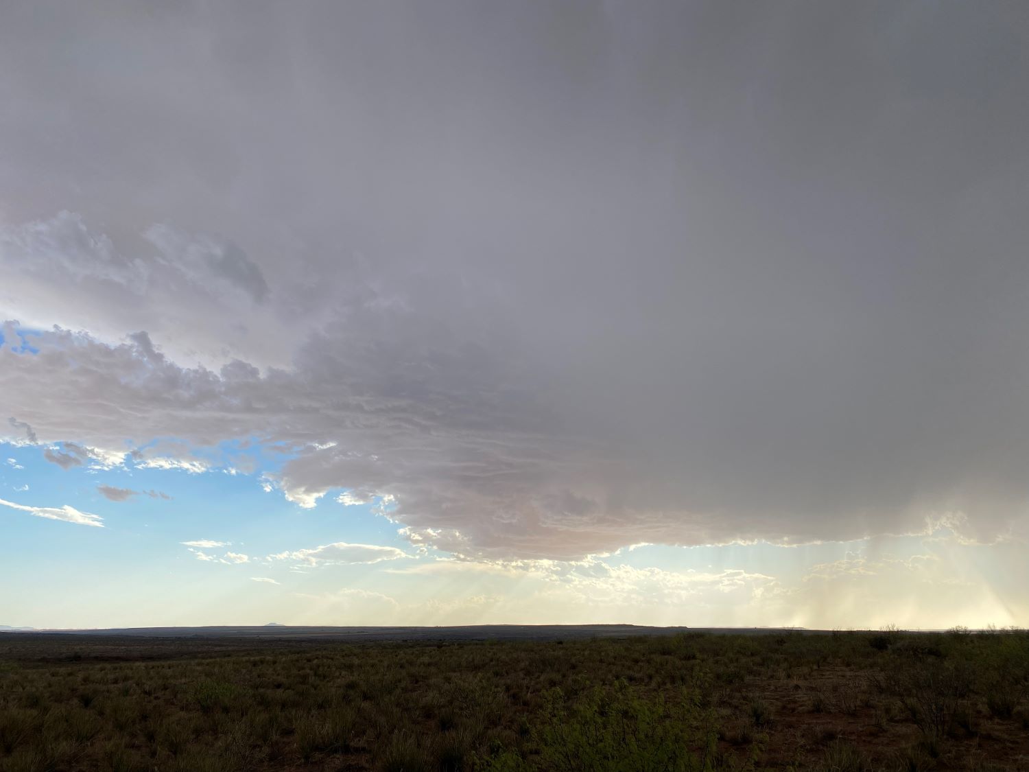
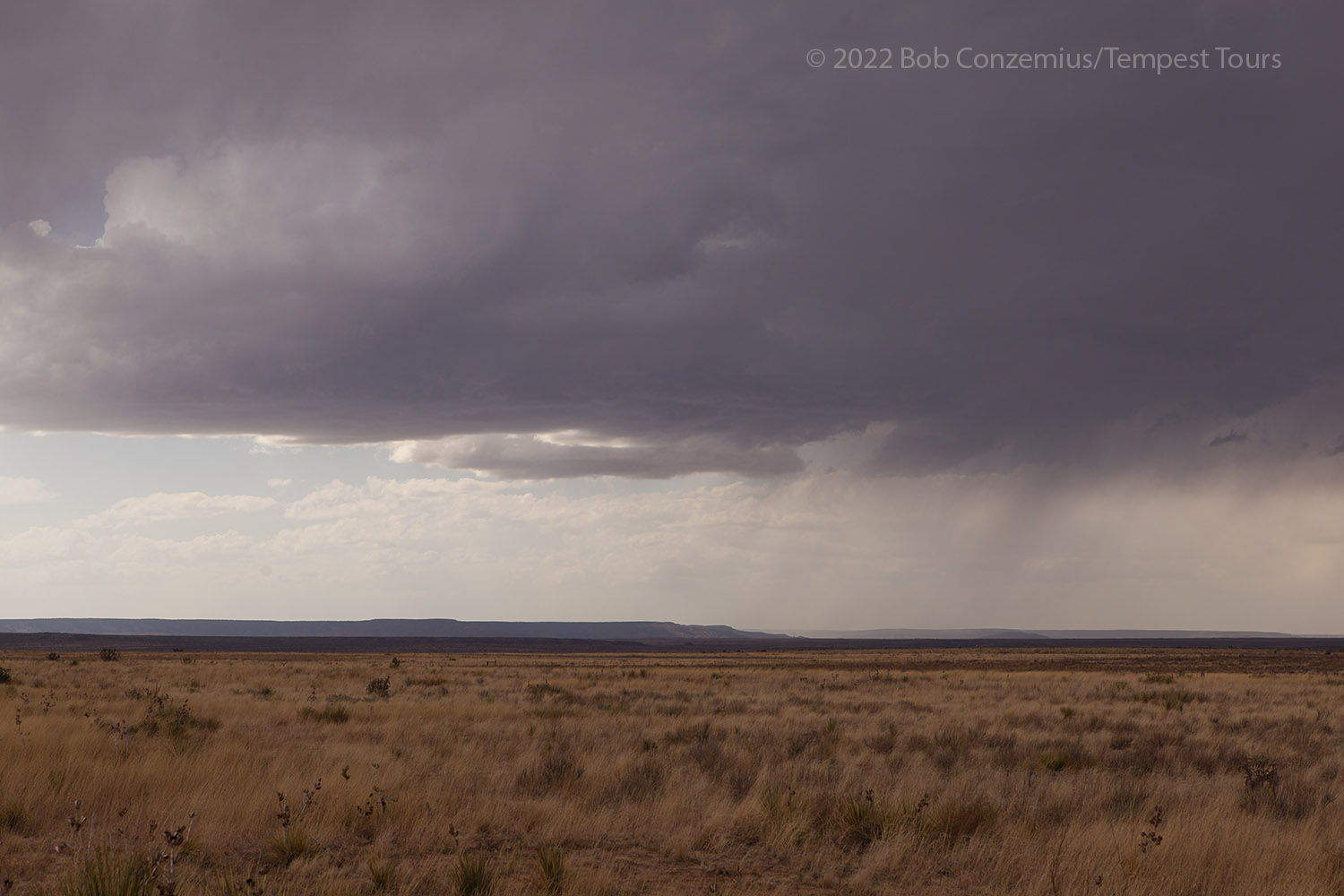
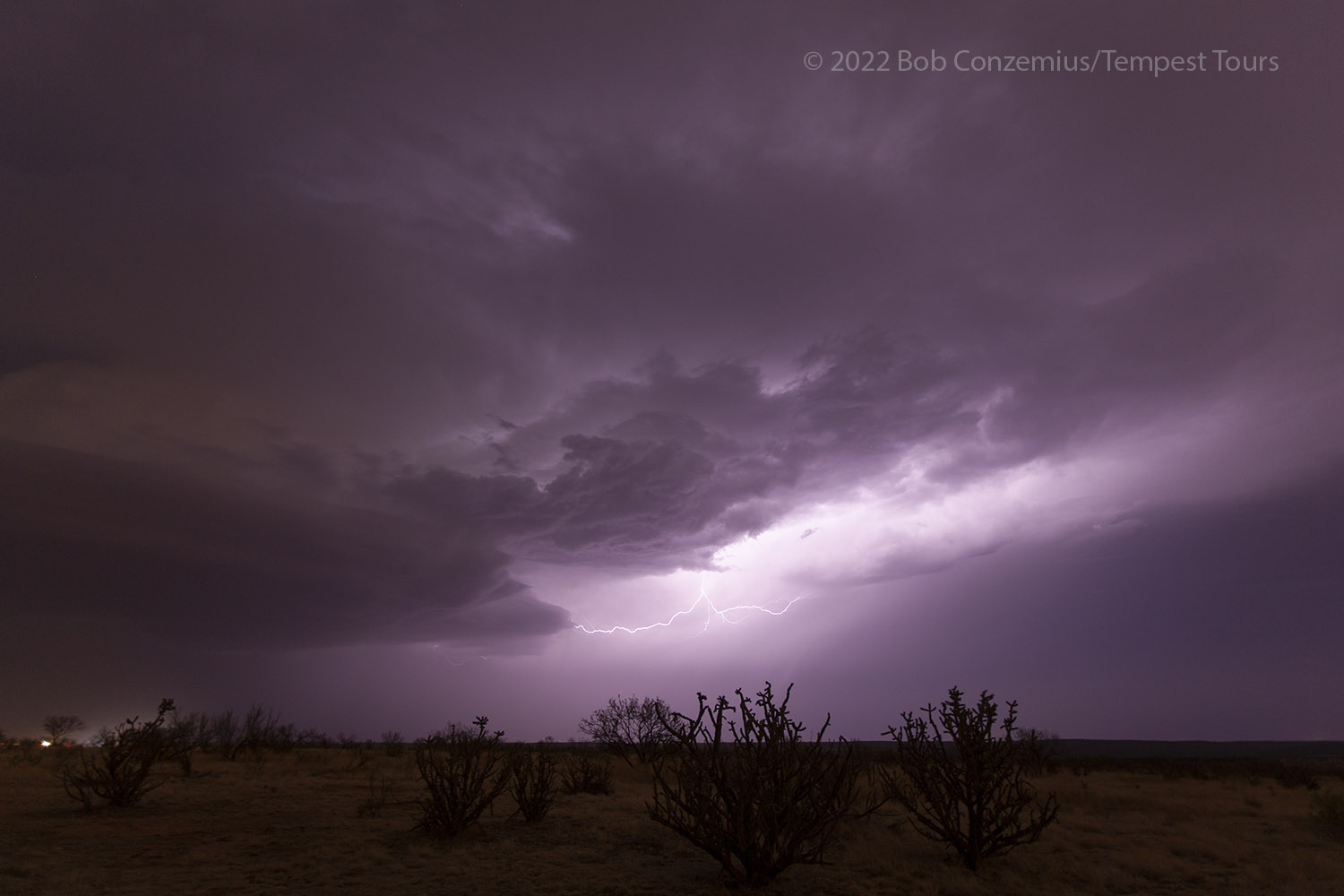
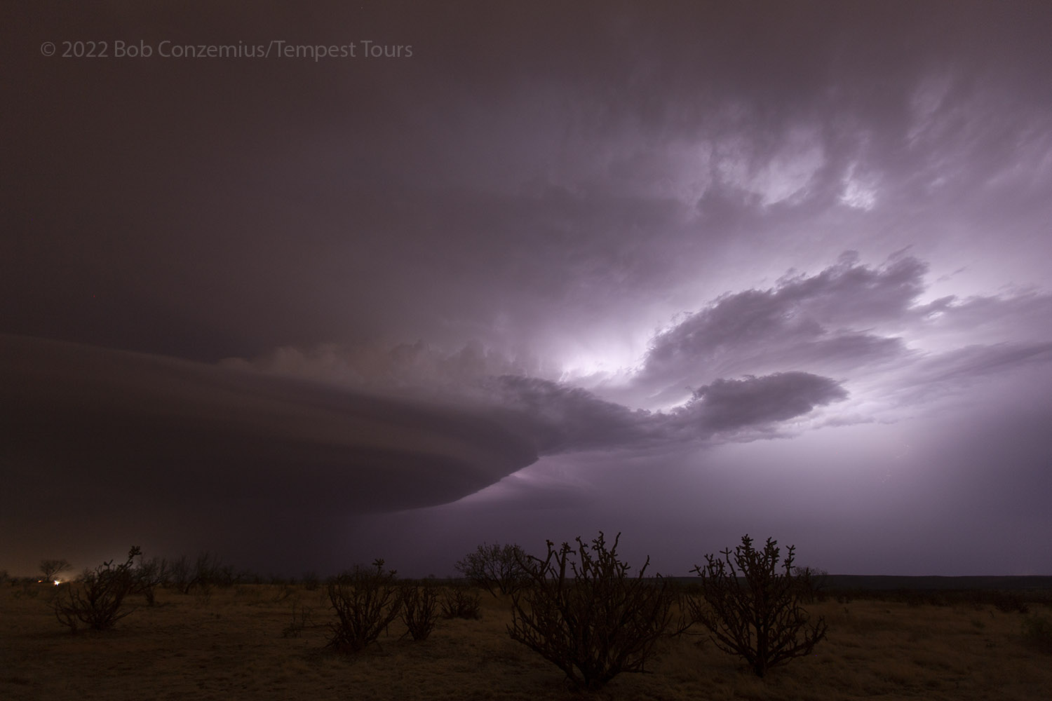
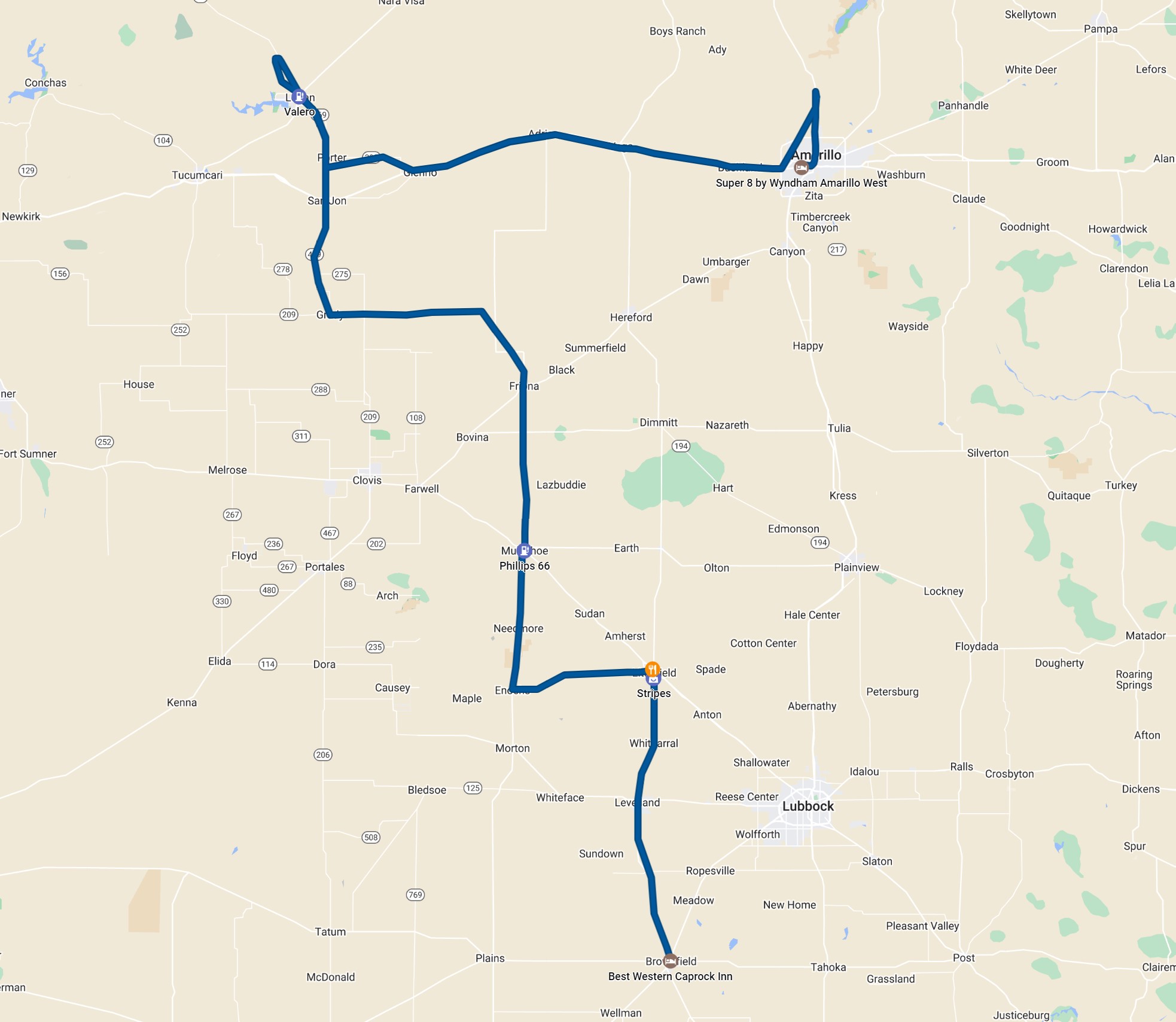
The chase essentially went according to plan. We intercepted a high-based storm in New Mexico and followed it east for a bit as it slowly organized. The storms were pretty multicellular at first and didn't have a whole lot worth photographing, but as it got dark, a lone supercell emerged out of the group of storms. We followed this east into the northern part of the Amarillo area. We found a decent spot to do some night storm photography and stayed there until the storm got out of range. We booked rooms in Amarillo for the night.
 |
|---|
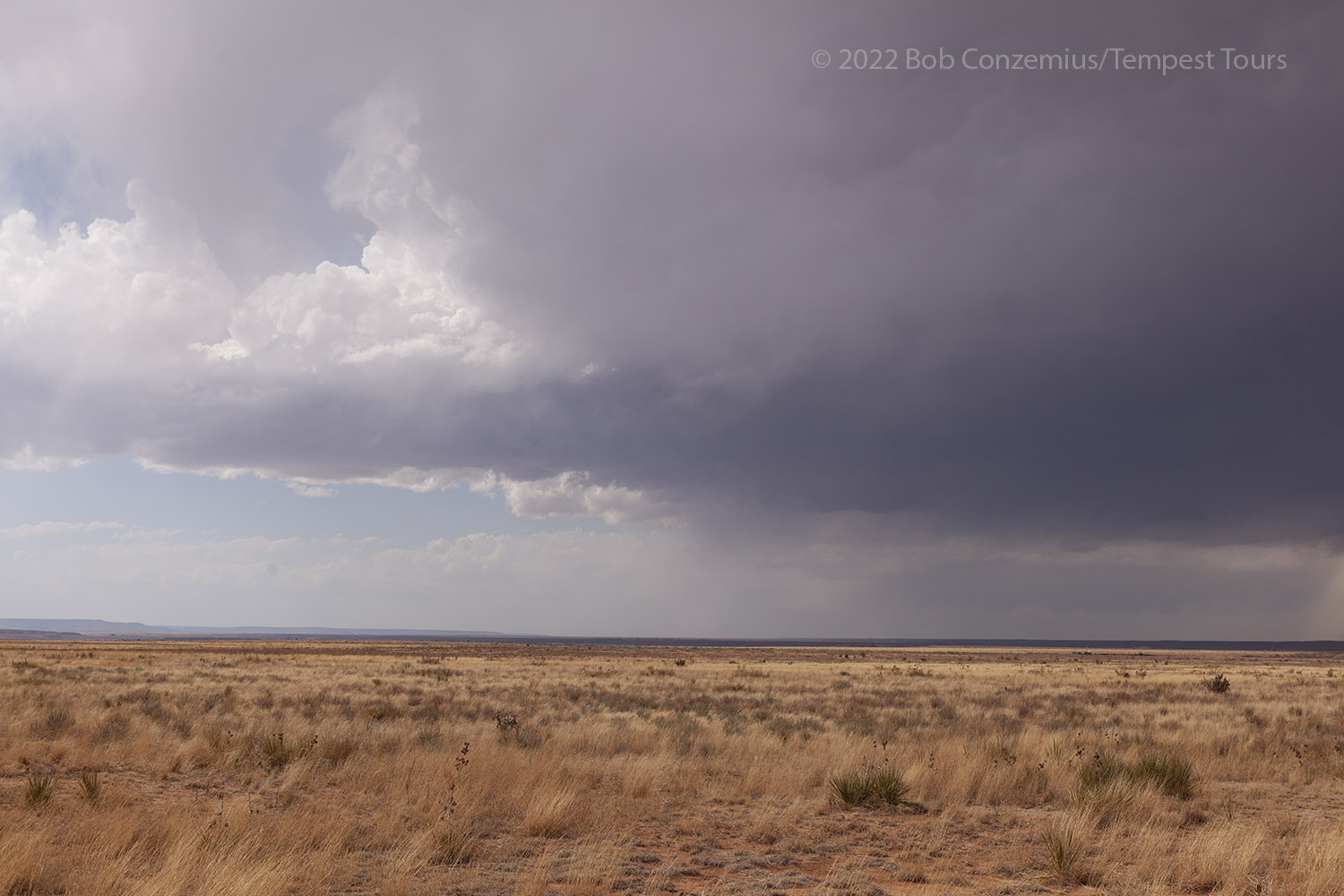
| A high-based storm develops in northeastern New Mexico. |
 |
|---|
| The high-based storm over the Caprock to the west. |
 |
|---|
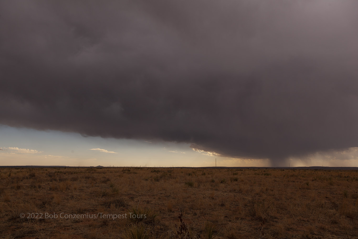
| The storm is coming off the Caprock. |
 |
|---|
| A high-based storm in the far western Texas panhandle. |
 |
|---|
| A supercellular storm drifts north of Amarillo. |
 |
|---|
| Lightning illuminates a bit of the collar cloud. |
 |
|---|
| This is the text that appears underneath the picture. |
Back to Storm Chases | Home