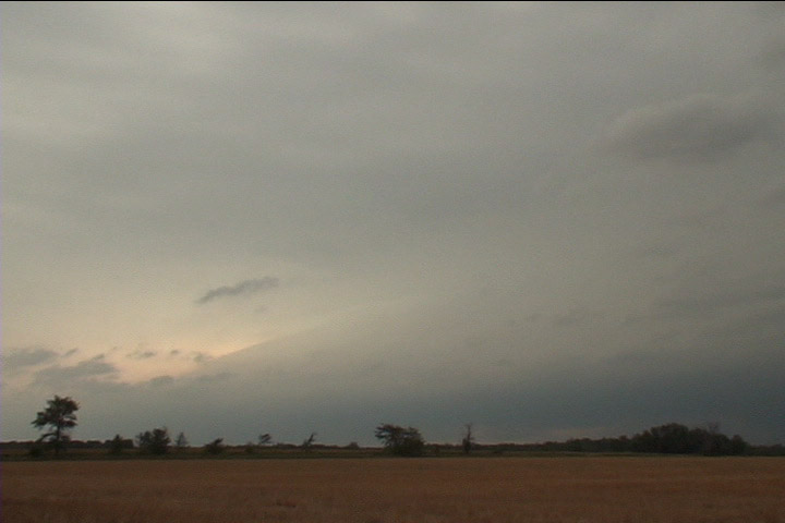
Storm approaches out of the haze and cloudiness to the northwest.
Well, there was a significant risk of severe weather this day, with at least a slight risk of severe storms forecast by the SPC. Additionally, the forecast storm-relative helicity was rather high with values around 300 m^2/s^2. However, the hodograph shape wasn't all that great, featuring a somewhat looping shape with a weakness in storm-relative flow around 600 mb. Additionally, there was a pretty stout cap in the warm sector where the best low-level moisture was (although the storm-relative flow there appeared to be a bit better). I was not excited about the prospects for initiation in southwestern Minnesota, but I didn't want to miss anything there should it develop. Thus, I drifted west from the Twin Cities after work. As I neared Hutchinson, the mid-level cumulus and small thunderstorms gradually shrunk, and all the boundary layer cumulus disappeared. It was quite apparent that initiation would not happen in the warm sector, so north I went to intercept a developing MCS headed toward St. Cloud. I had to be back up at work in Grand Rapids the next day, so it was good to drift that way. Seeing the nature of the storms on radar and not wanting to give my new car a hail bath, I decided to position myself along a line where I thought the southwestern end of the MCS would pass. That way, I'd have a good chance at taking some photos or video, and I wouldn't get the worst of the core. When I got to the northeast of St. Cloud near Foley on MN 23, I saw a band of stratocumulus ahead of me, flowing rapidly northwestward into the storm. The radar loop also showed the same thing, but with the band of clouds ahead of me, it made sense that this was the southwestern extent of where the forcing and lift were sufficient to sustain storms, so I decided to park here.
I set up video on tripod and pointed northwest as the storm approached me. About 35 or 40 minutes later, the shelf cloud came overhead, and I got a nice look at the mean, green core. Once I got sufficient video, I ducked a little farther southwest to make sure I didn't get any hail, then continued northeast up 23 to Milaca, then headed home on U.S. 169.
Storm approaches out of the haze and cloudiness to the northwest.
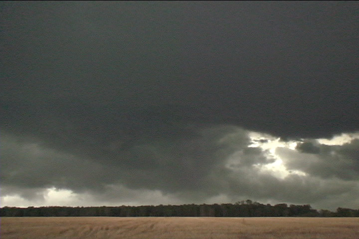
Ragged shelf cloud material, with storm core behind it. This actually looked greener than it does here on this video capture. The camera was auto white balancing and took away some of the green color.