May 23, 2023 Weak Landspout Tornadoes
Sudan, Texas
We caught a couple weak landspout tornadoes near Sudan, Texas.
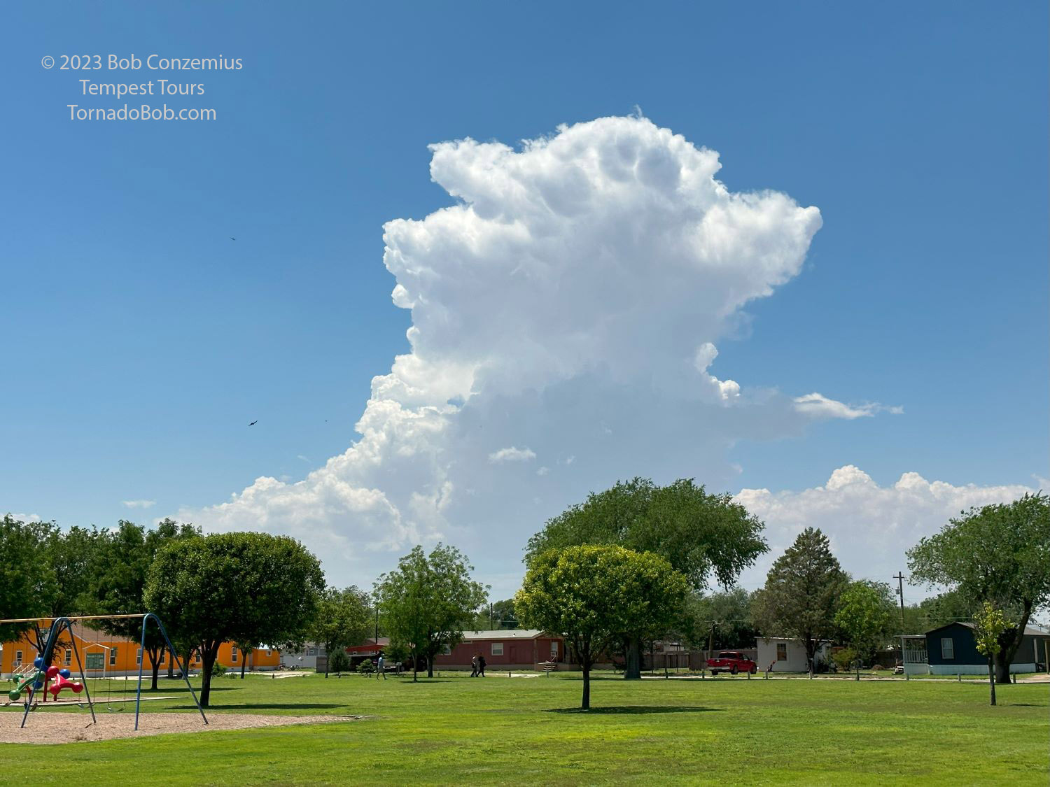 |
| We stopped in a park in Muleshoe and watched our storm develop from a towering cumulus cloud. |
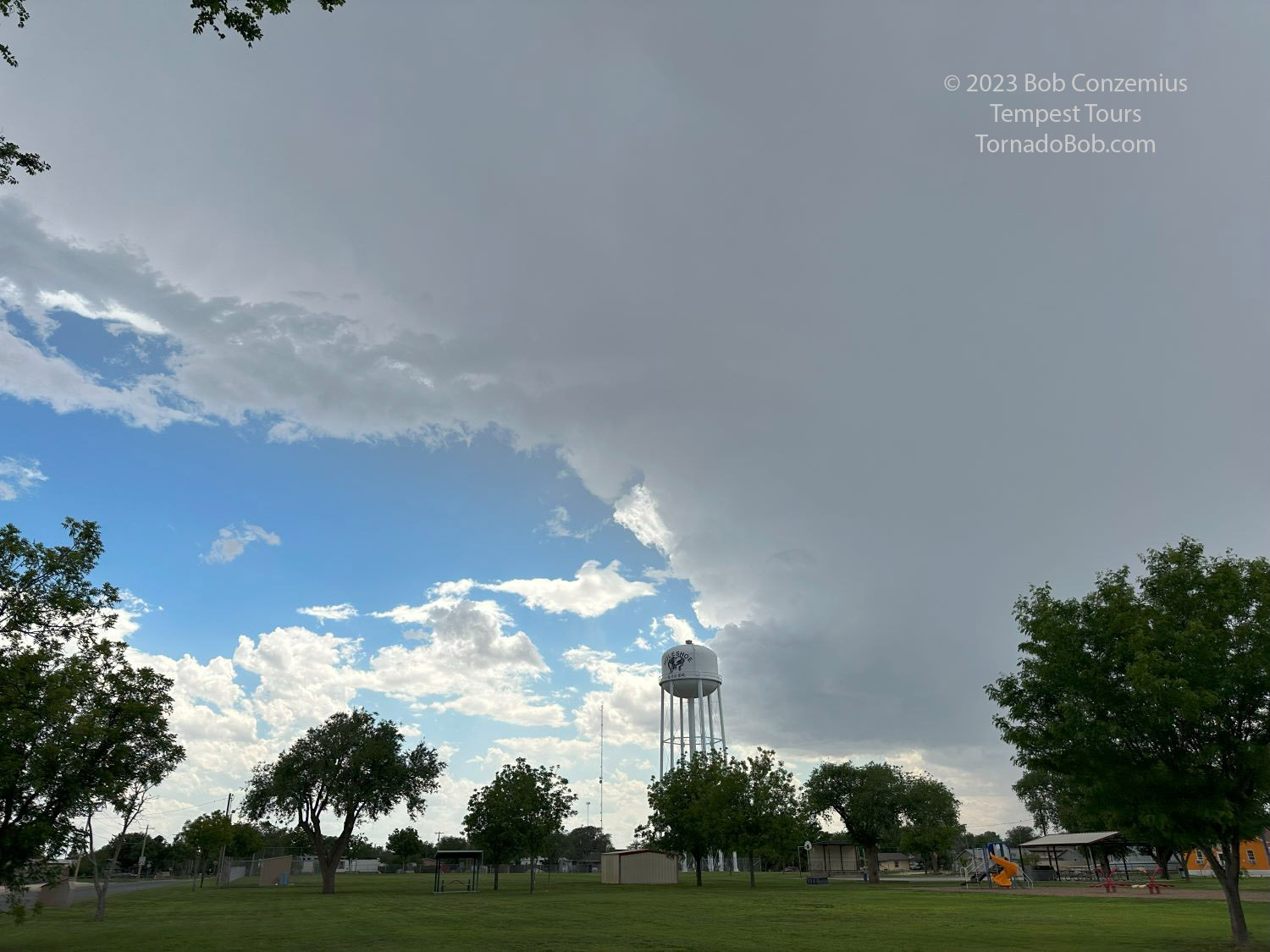 |
| The updraft has now become a storm. Time to chase it! |
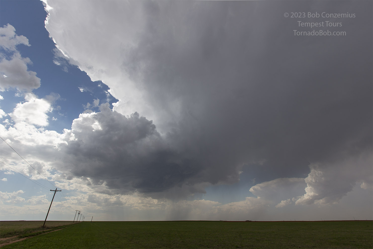 |
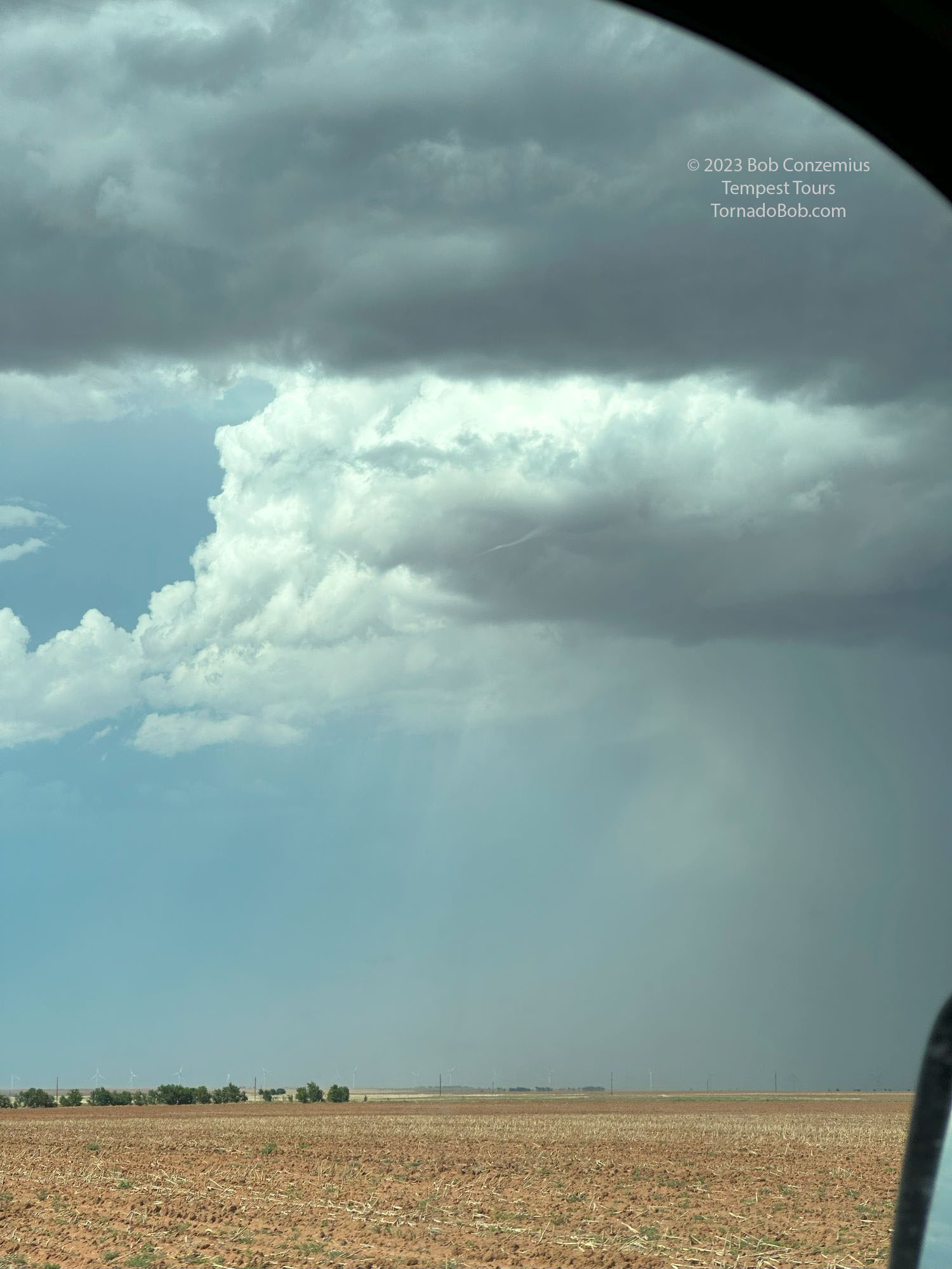
| We drove south from Muleshoe, Texas to get a better look. |
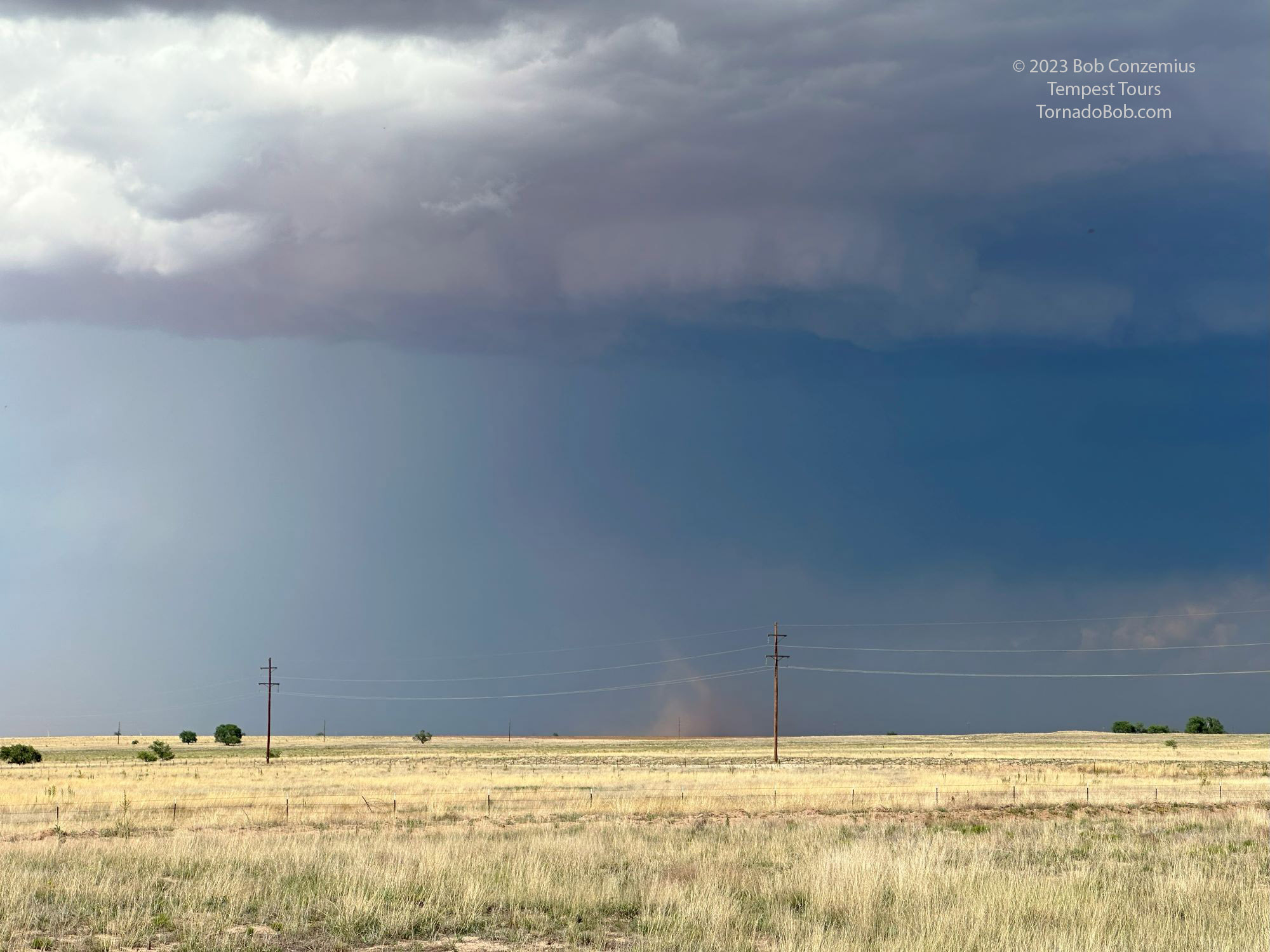 |
| Suddenly, at 5:05 PM, a dust swirl appears with a more laminar funnel in the center. |
 |
| At 5:10 PM, a small funnel is also present at cloud base, but the dust swirls aren't present on the ground in this photo. |
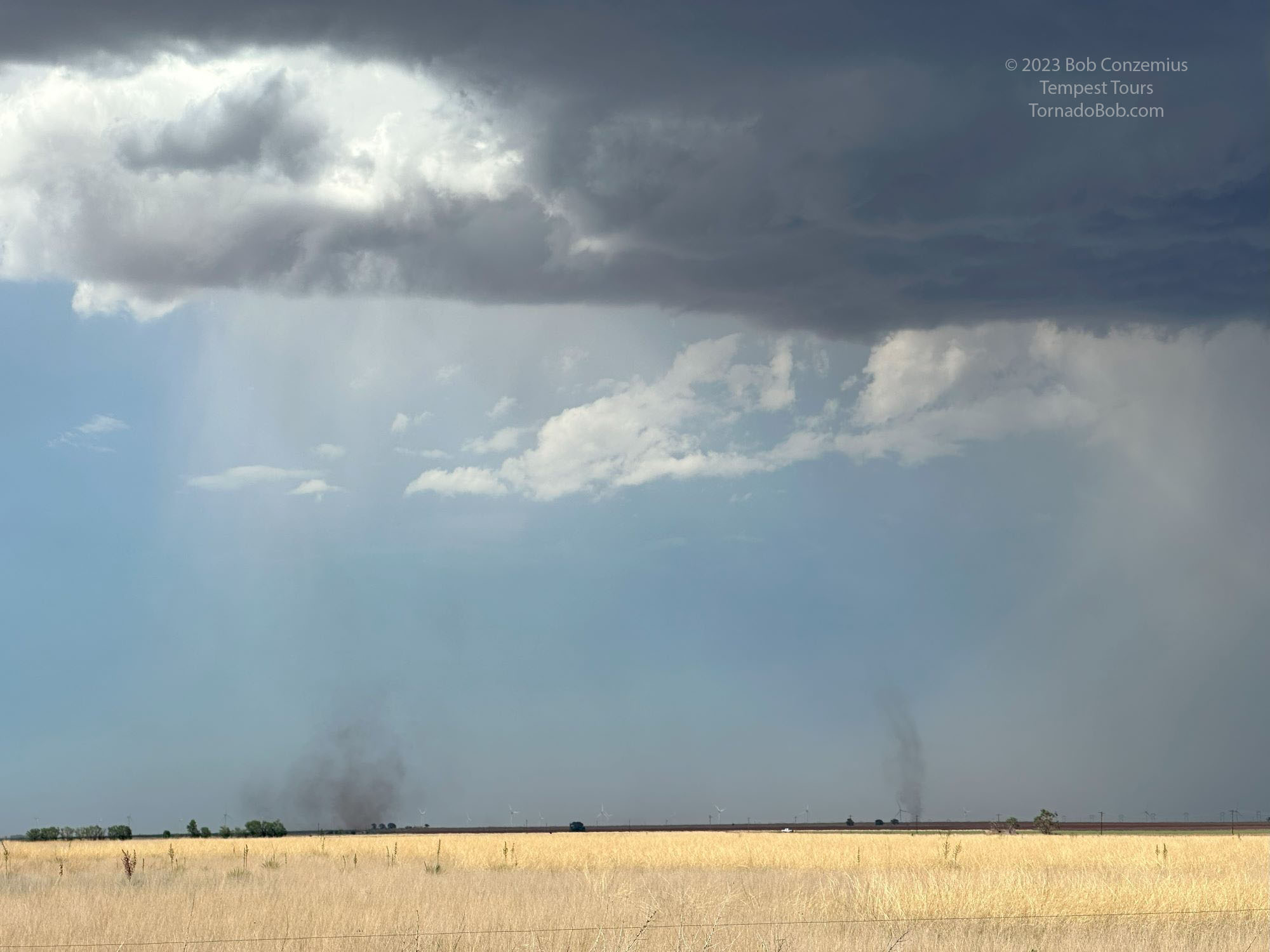 |
| At 5:16 PM, two are in progress at the same time. |
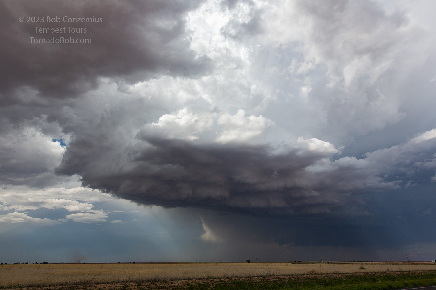 |
| At 5:26 PM, I took a picture with my Canon 5D as a dust swirl continued. |
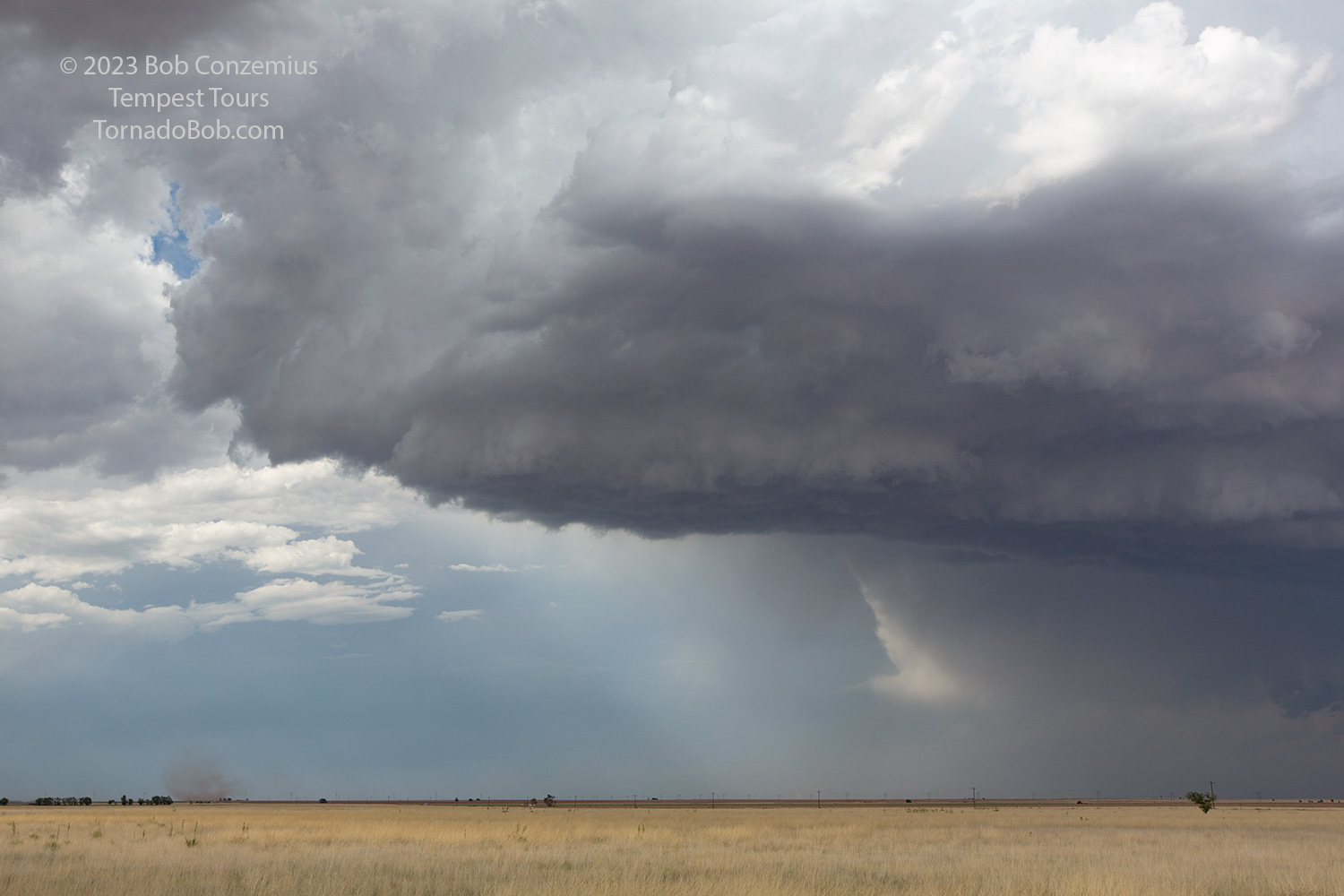 |
| At 5:27 PM, I took another photo with my Canon. Can you see any funnels above? |
My pictures don't necessarily provide conclusive evidence that the circulation was associated with anything at cloud base, but this tweet does and so does this one. Tempest's guide Matt Phelps was also closer than we were. Later, a second landspout developed and lasted for a few minutes. Both were in progress at the same time.
 |
| We drove back northwest to a second storm near Muleshoe. |
 |
| We then drove east to a third supercellular storm near Plainview. |
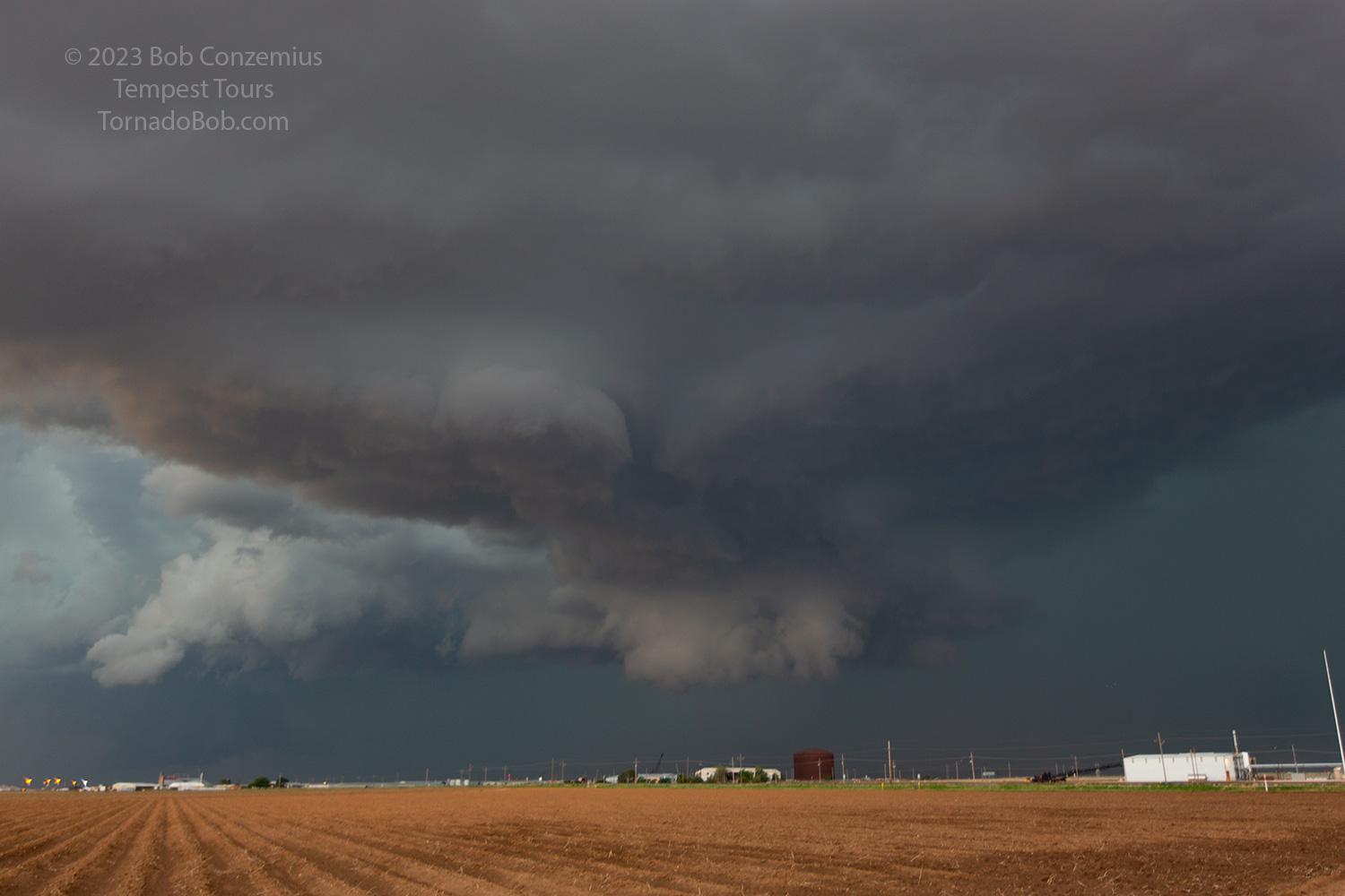 |
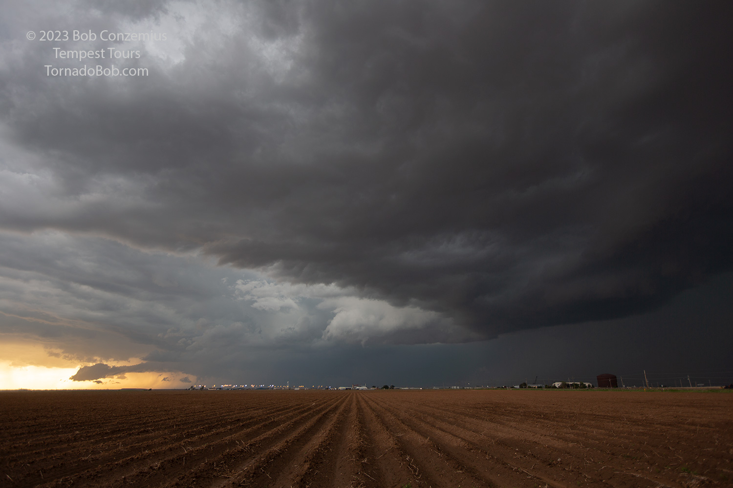
| The Plainview storm developed a nice wall cloud. |
 |
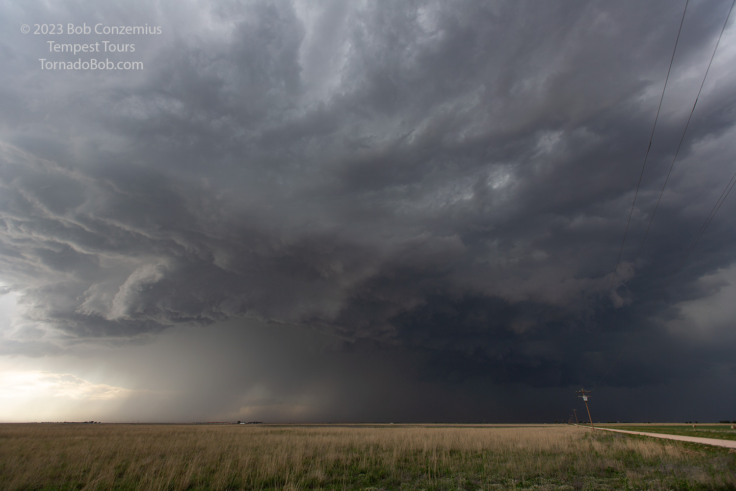
| Other storms began to catch up from the west, with a shelf cloud forming to the west. |
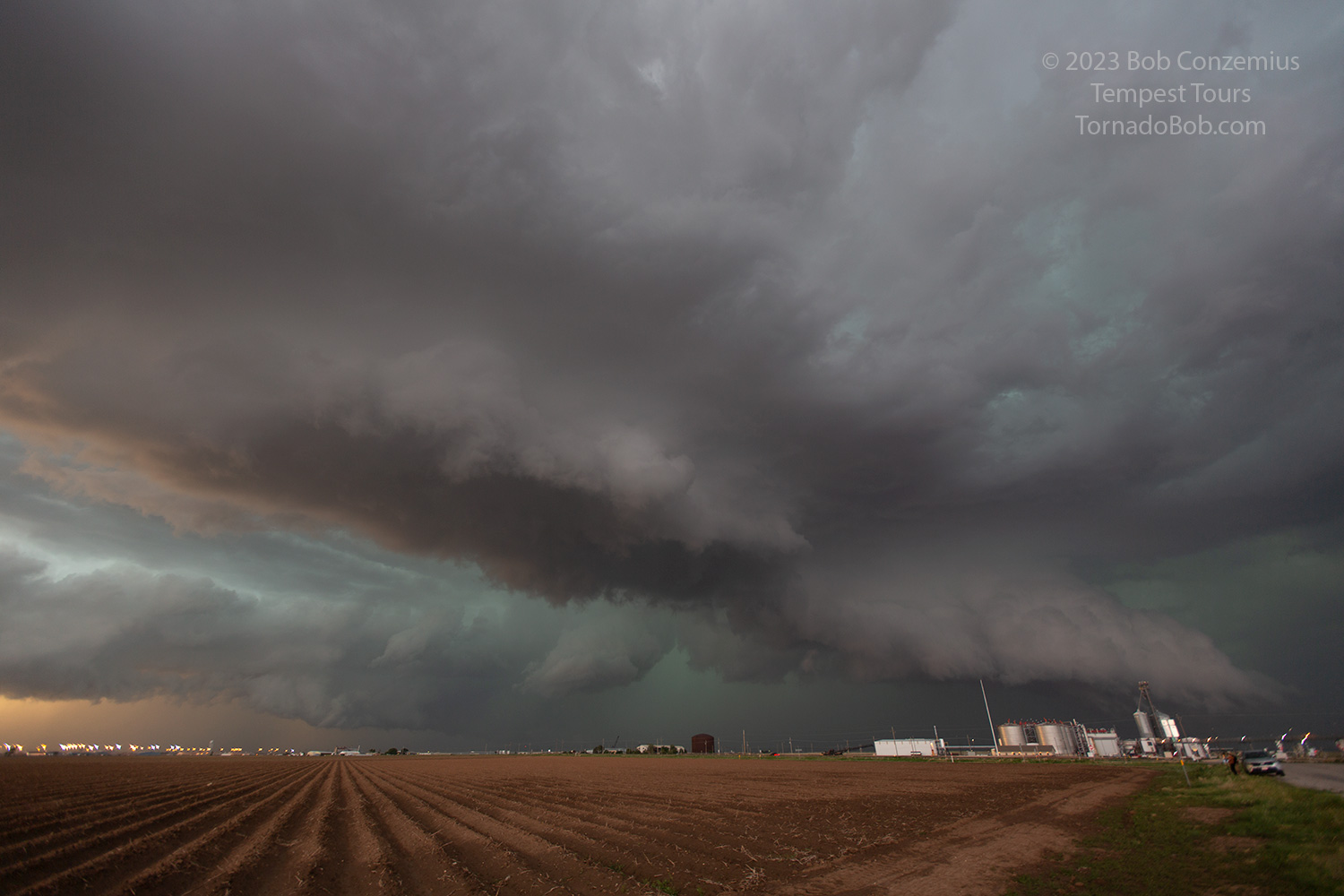 |
| Multiple storm structures show themselves as the storms interact. |
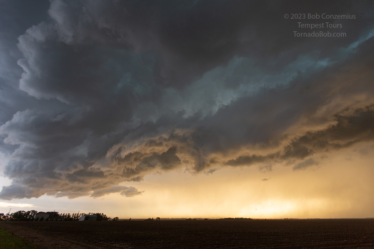 |
| A shelf cloud overtakes us as the storms merge. |
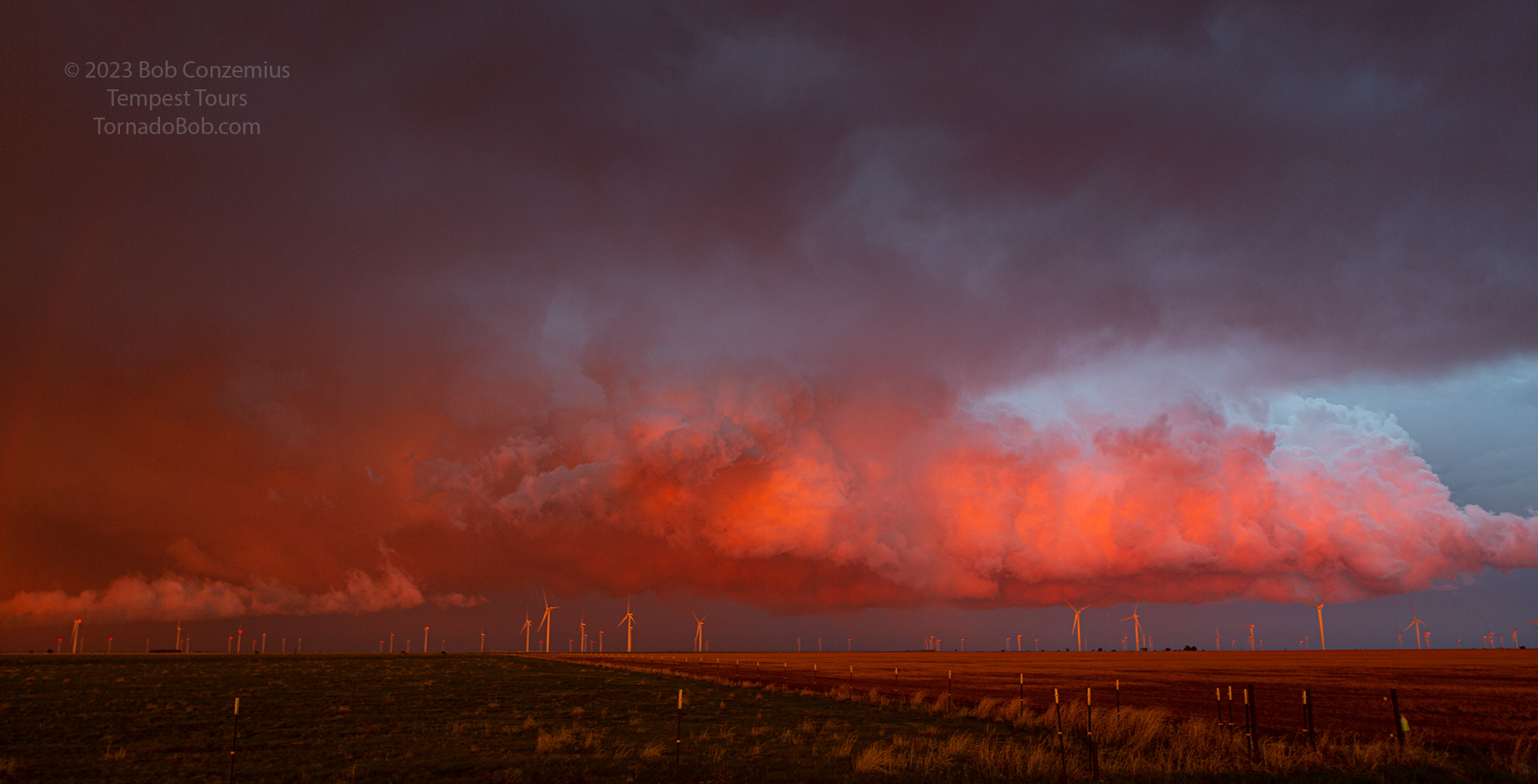 |
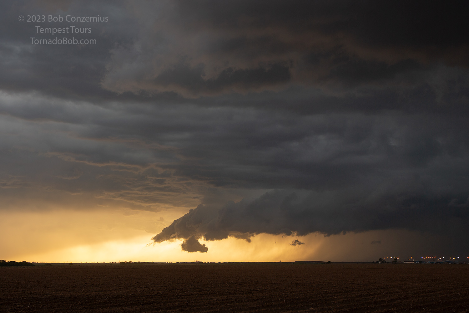
| Intense colors from the sunset illuminate the clouds to our east. |
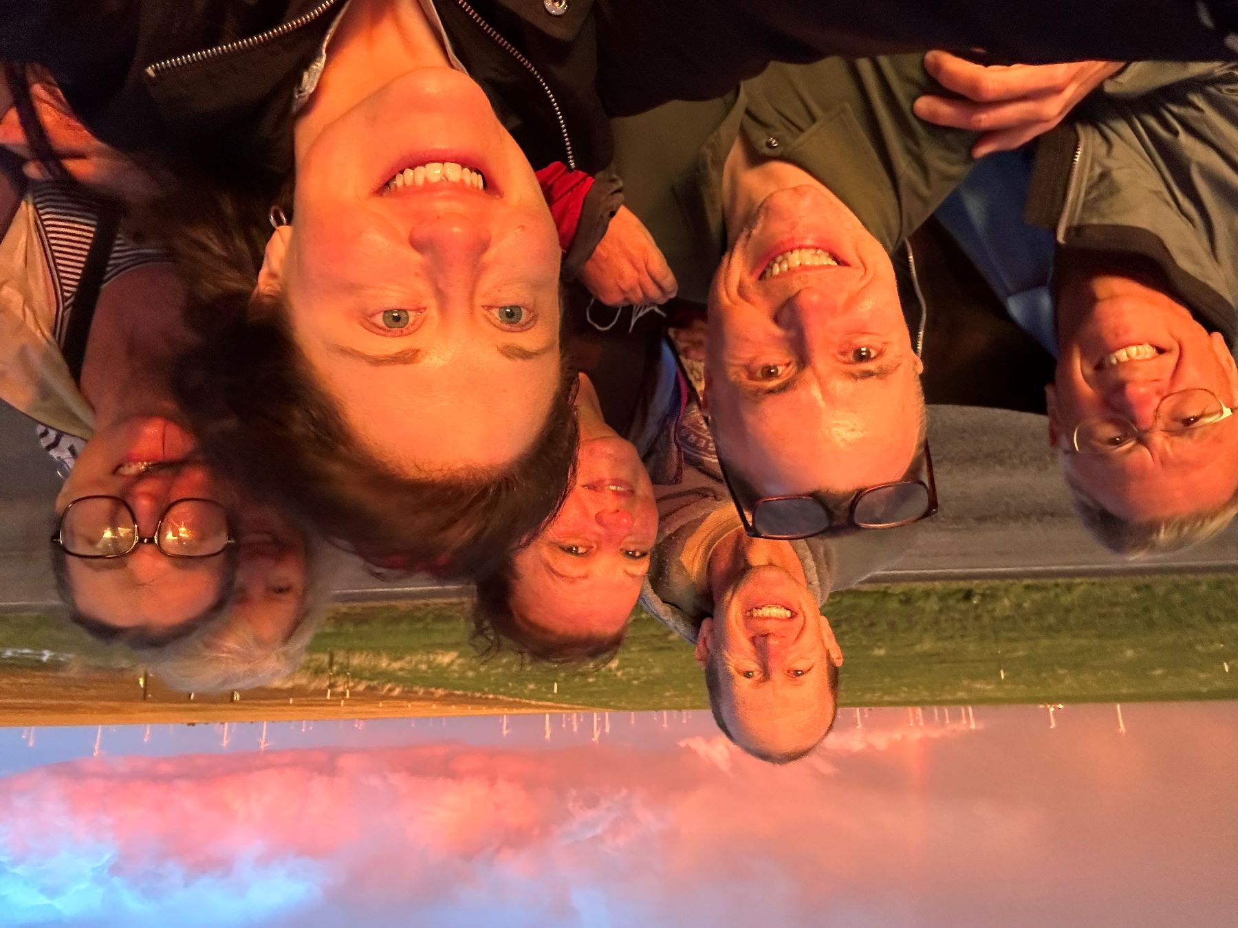 |
| A selfie of the entire happy group at the end of the chase. |
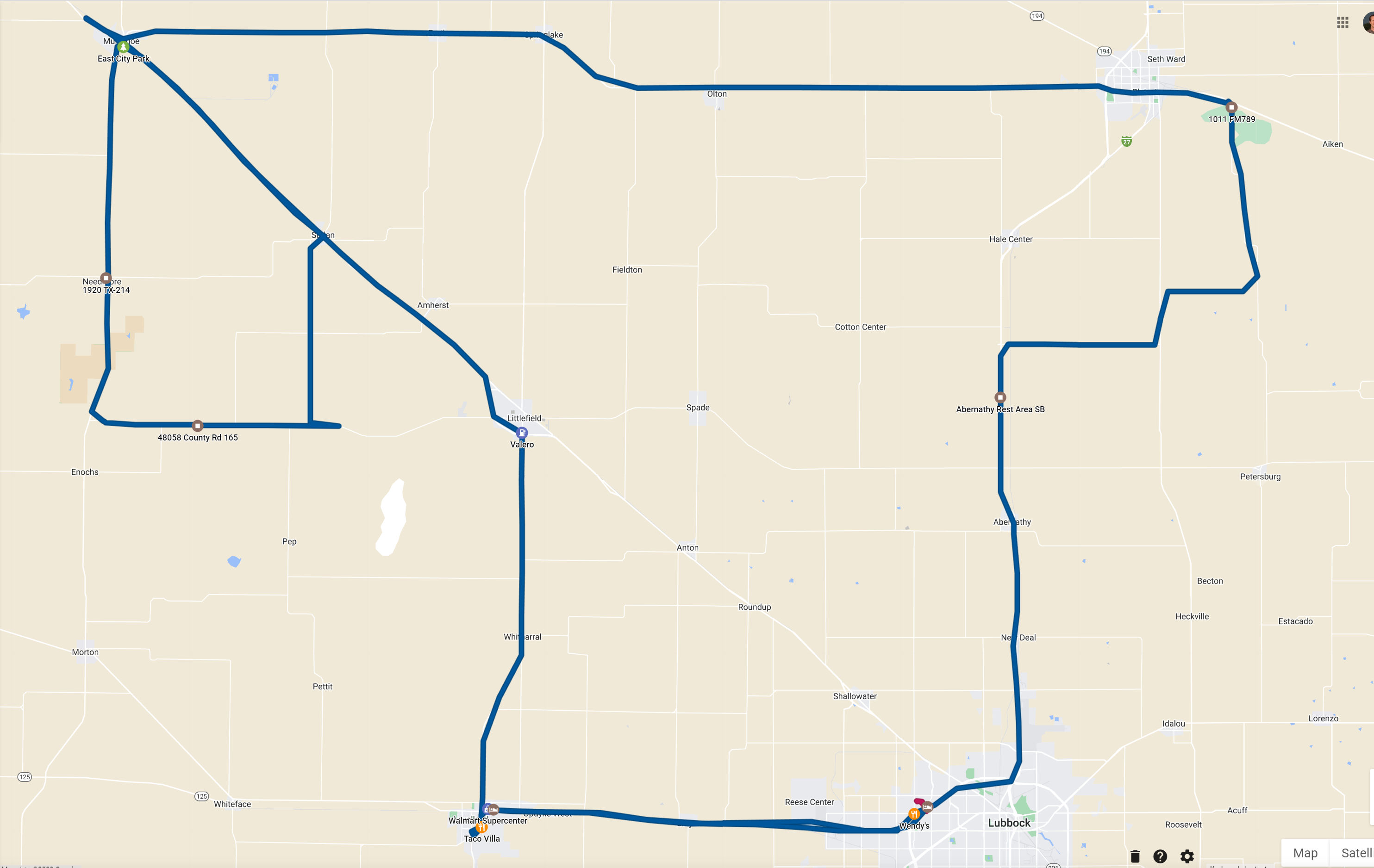 |
| Our route for the day. 303 miles. |
Interestingly, another tornado event happened much farther southeast a little after sunset. There was a more distinct supercell that developed around sunset and had strong rotation. It produced a brief tornado marked by a dust swirl (according to the report), but it produced a more significant tornado when the outflow boundary from a line of storms collided with it. A radar animation can be found below.
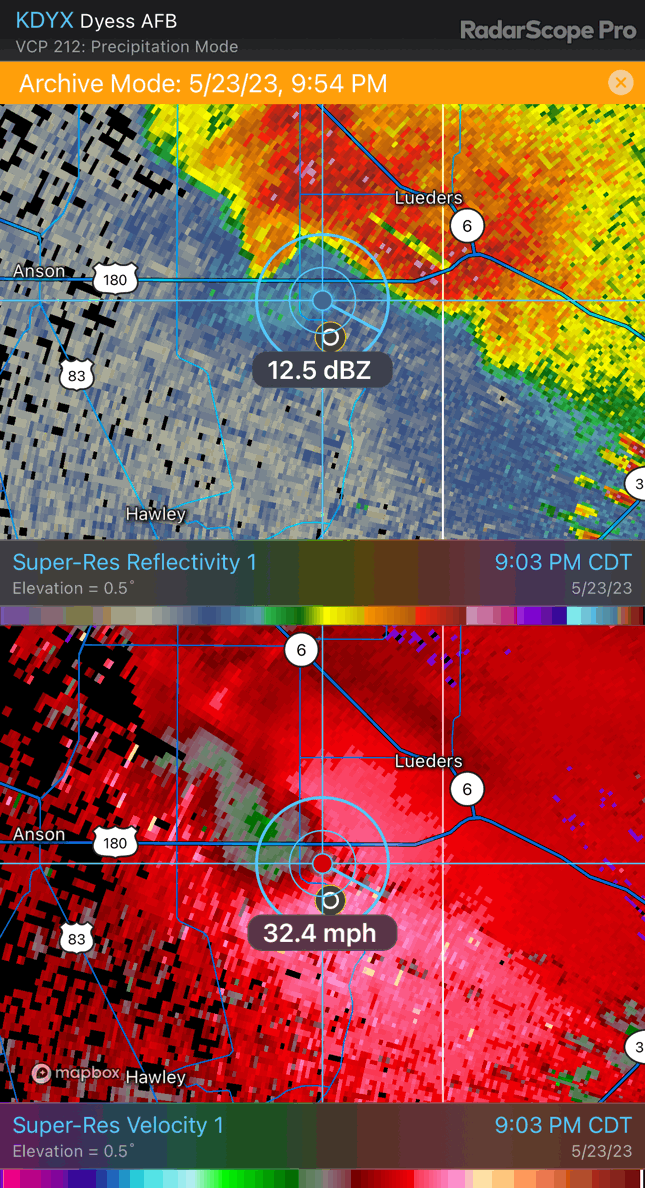 |
| Radar loop of a storm farther southeast that produced a tornado. |
Back to Storm Chases | Home