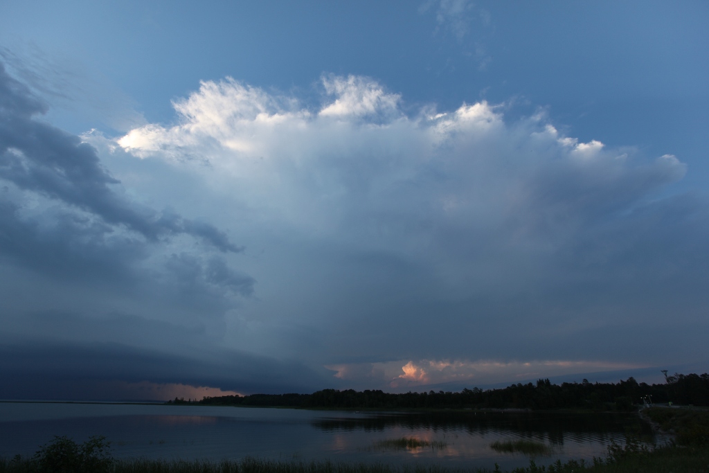
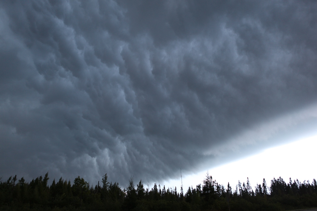
Shot taken at 17mm focal length showing anvil (top center), rear flank base (lower left) becoming more outflow-dominant, and a distant storm to the north (underneat the anvil).
After having missed the Wilkin County Tornado on August 7 (due to a conference), I felt like simply going out and doing some reasonable photography of a storm. As I returned home from my trip Sunday evening, a storm appeared on radar in Beltrami County. It had some supercellular characteristics, and it was fairly isolated, so I decided it was worth a shot. By the time I arrived, the storm had begun to transition into a more linear, outflow-dominant system, but that did not bother me. Due to the high moisture content in the residual boundary layer (the leftover mass of air in about the lowest kilometer of the atmosphere after the sun has stopped heating things for the day) and dimishing turbulence after sunset, the storm was developing a fairly laminar-looking shelf cloud, which, due to the very late-day lightning and low base, looked rather mean.
Shot taken at 17mm focal length showing anvil (top center), rear flank base (lower left) becoming more outflow-dominant, and a distant storm to the north (underneat the anvil).
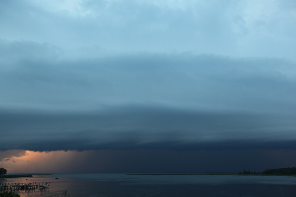
Shelf cloud looks larger as it approaches.
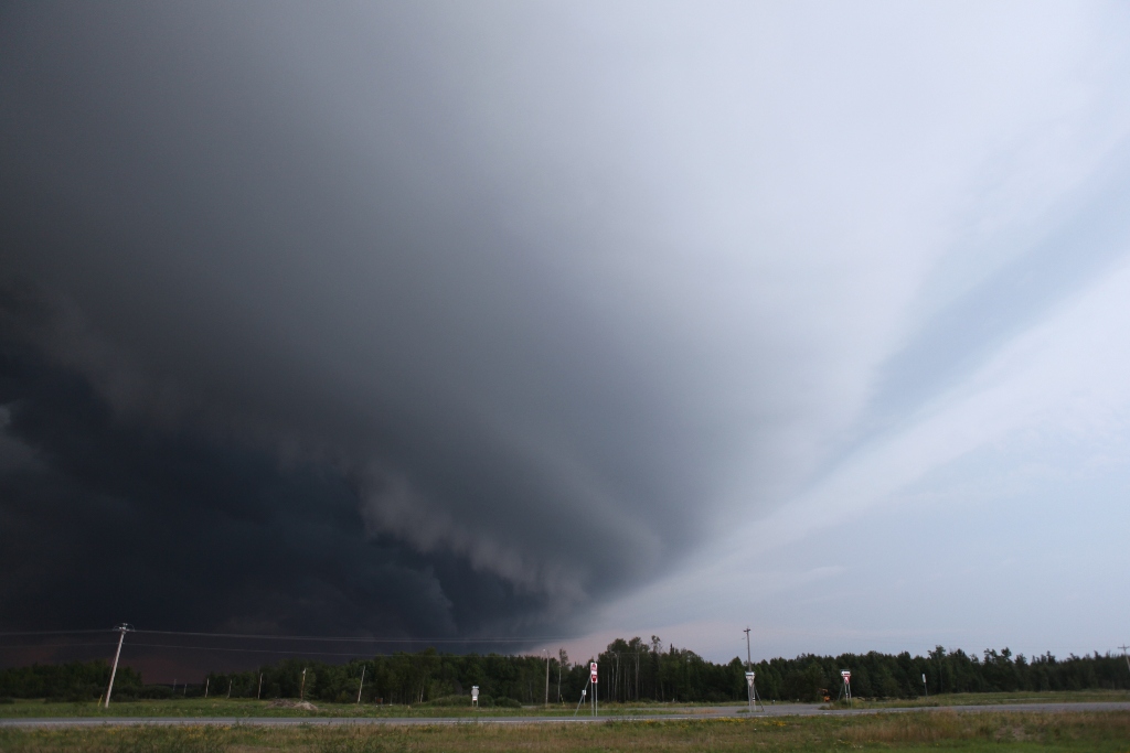
Looking northeast along the shelf cloud coming over Winnie Dam.

Boats racing in from the lake, shelf cloud overhead. The open waters of the lake (on the horizon) are starting to become rough.
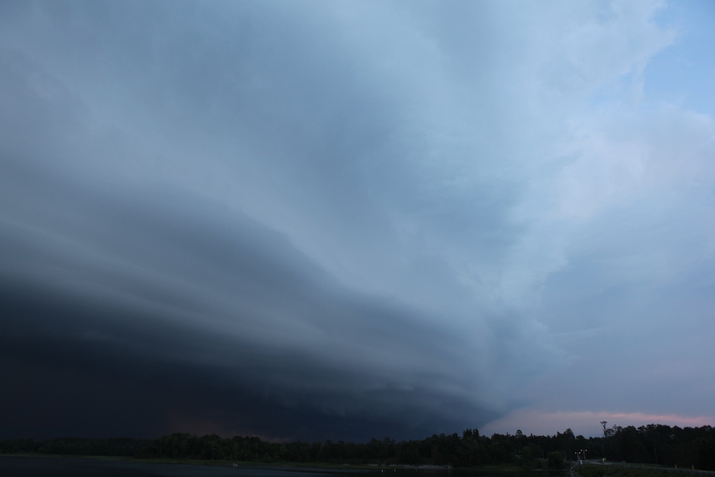
Shelf cloud is just about overhead, eclipsing the view of the storm's anvil (right).
A bit farther southeast on MN Hwy 46 looking at the "whale's mouth"-- the turbulent underside of the shelf cloud.
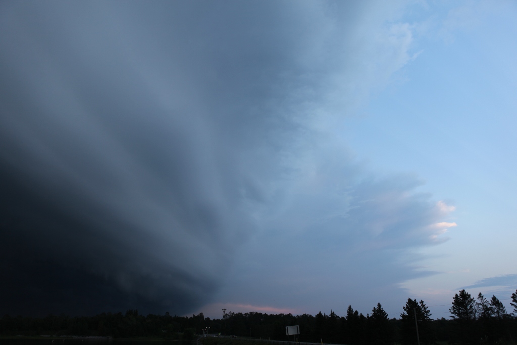
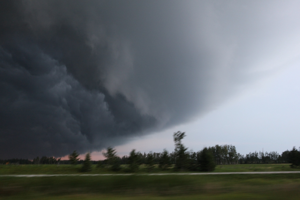
This shot was taken just southeast of Deer River, looking northeast.
A low-based shelf cloud: laminar in front, turbulent behind.