May 22, 2025 Supercell
Western North Texas
This was the second best day of the trip. Although the there were no tornadoes for us, it was a very close second to the May 18 chase. We chased a storm that quickly developed into a messy, grungy HP storm, but just when we thought we were relegated to chasing that mess for the rest of the day, the storm dried out considerably, and we ended up chasing a visually dramatic (albeit hazy) barberpole LP storm.
We had stayed the night in Wichita Falls and awoke to an enhanced risk of severe storms for the day. The tornado risk was not that high, and the SPC pretty much nailed that forecast today. The convection-allowing models showed numerous storms across western North Texas. Initiation time was expected to be a bit early, so we wanted to be out on the road without considerable delay. The only challenge for the day was one of the vans needed a tire rotation, and it looked like a couple of the tires also needed to be replaced as the tread had worn down more than I'd like. I dropped the guests at a restaurant in Wichita Falls for lunch and found a nearby Discount Tire shop to get the tire work done. I ran back to join the guests for lunch then ran back from lunch to the tire shop to pick up the van. This running back and forth kept us on time.
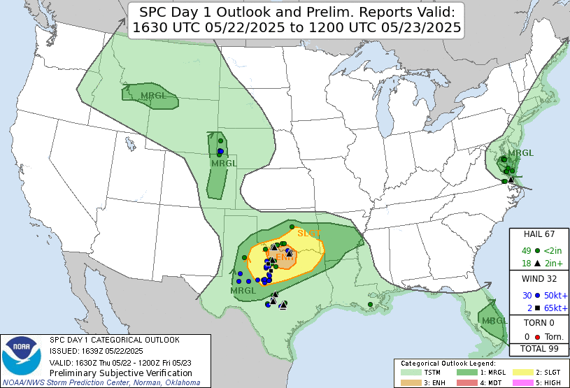 |
| Storm Prediction Center 1630 UTC Day 1 outlook with verification. |
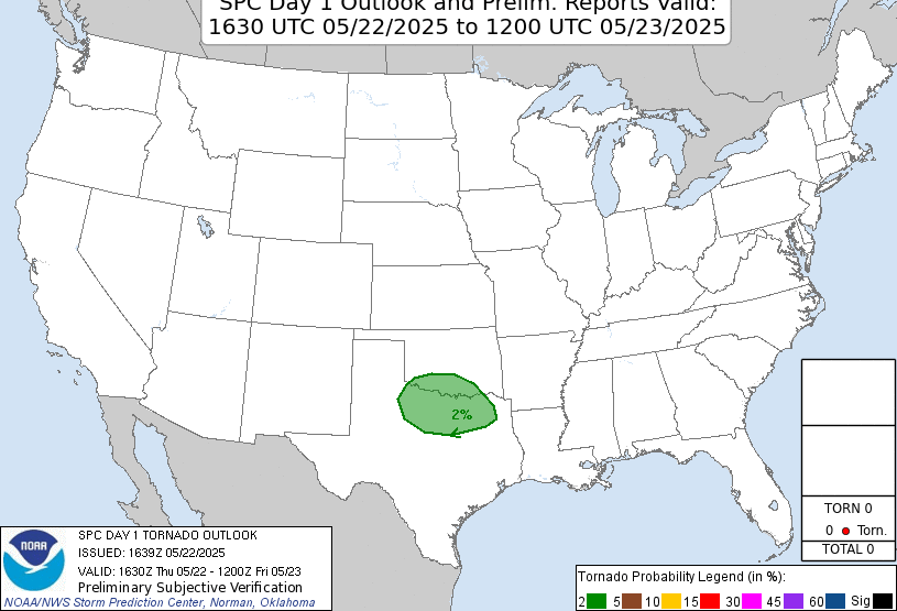 |
| Storm Prediction Center 1630 UTC Day 1 tornado outlook with verification. |
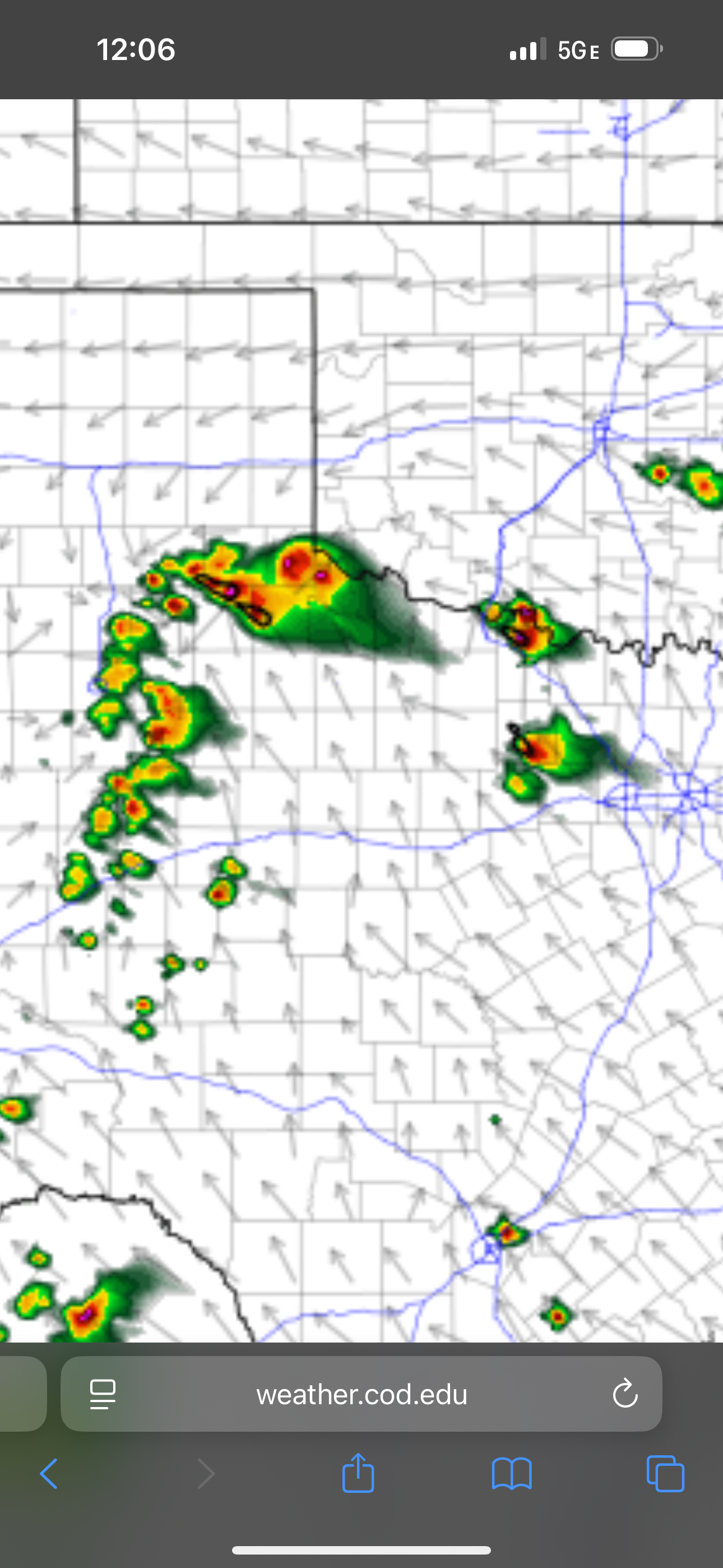 |
| Convection-allowing models showed numerous storms, some of them supercells, in the area. |
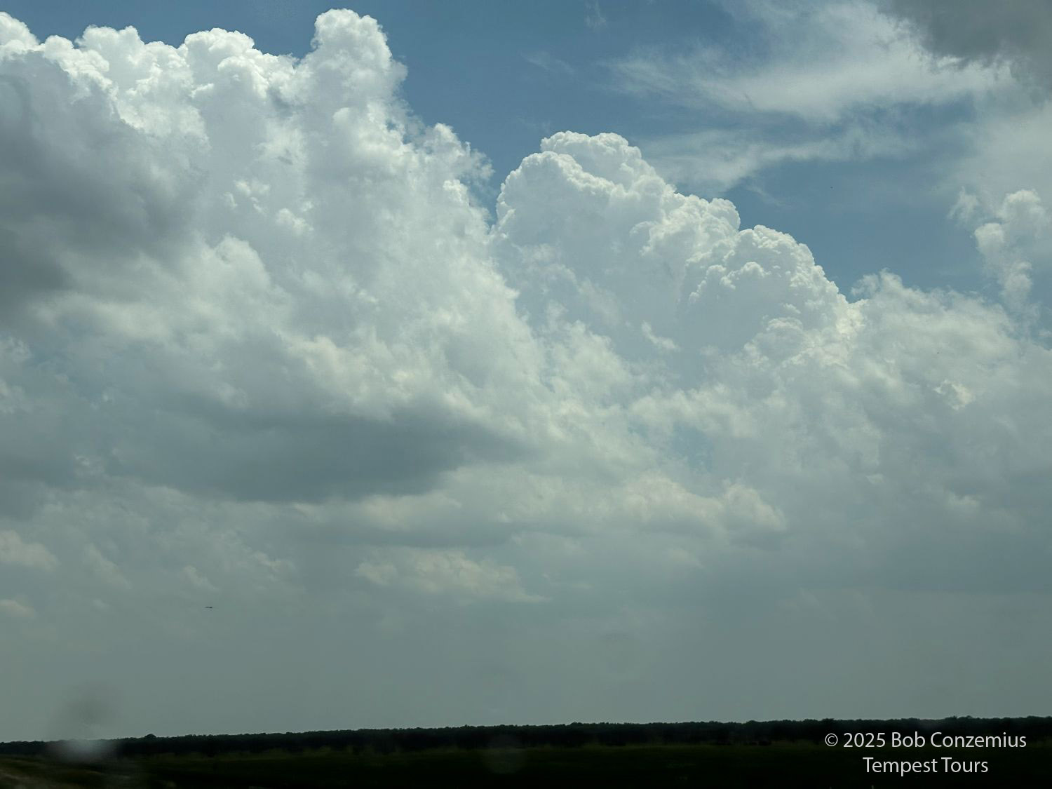
Early storms were already ongoing to our east. I was worried about the outflow boundary from these storms pushing far past us, but it didn't push too far. Mostly, it just got a little past Wichita Falls and set up as a boundary for afternoon initiation of storms. When I returned to the restaurant to pick up the guests, there were already towering cumulus and small radar echoes to our southwest. The chase was on!
 |
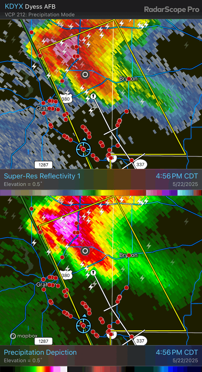
| Early afternoon storms were already tornado-warned to our east. |
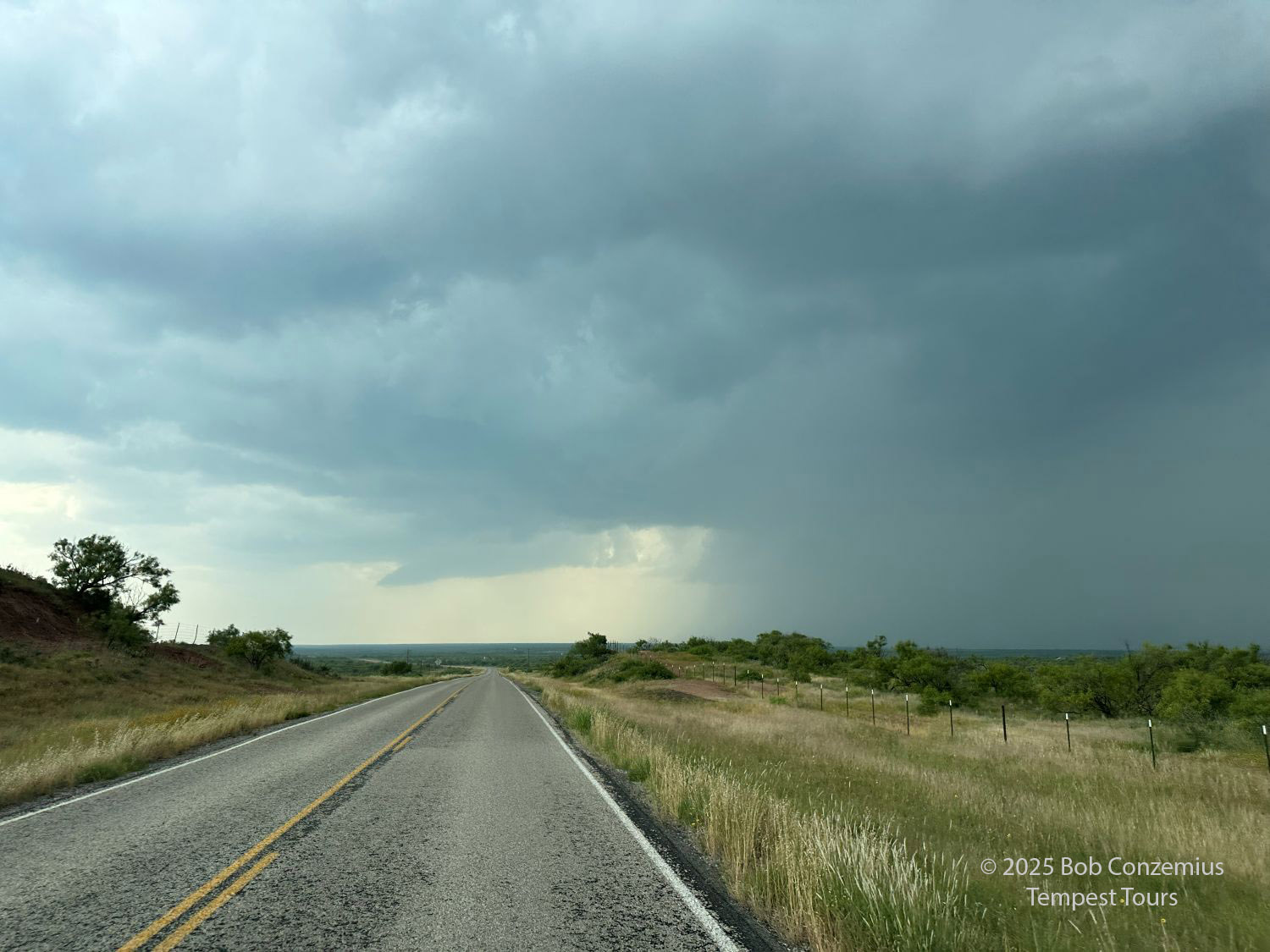
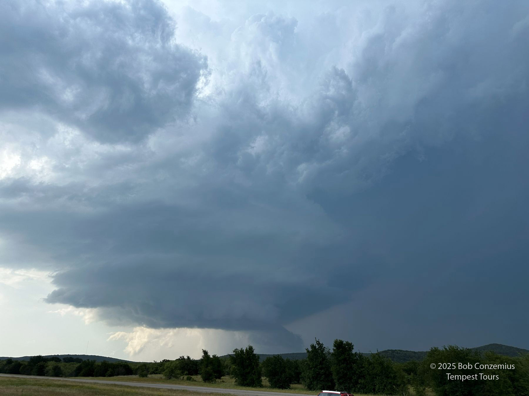
We took U.S. 277 through Holliday and turned southeast on TX Highway 25 toward Archer City. We then turned back west on FM 210 to look at the updraft base of the strongest storm in our area. The base was increasing in size, and the storm soon became severe-warned. These storms increased in size and developed some supercell characteristics. The bases were low and quickly filled with precipitation. The storm was definitely becoming more on the heavy precipitation (HP) side of the spectrum. This played a big part in how Tours 4A and 4B would evolve today and tomorrow.
 |
| Storms developing southwest of Wichita Falls. |
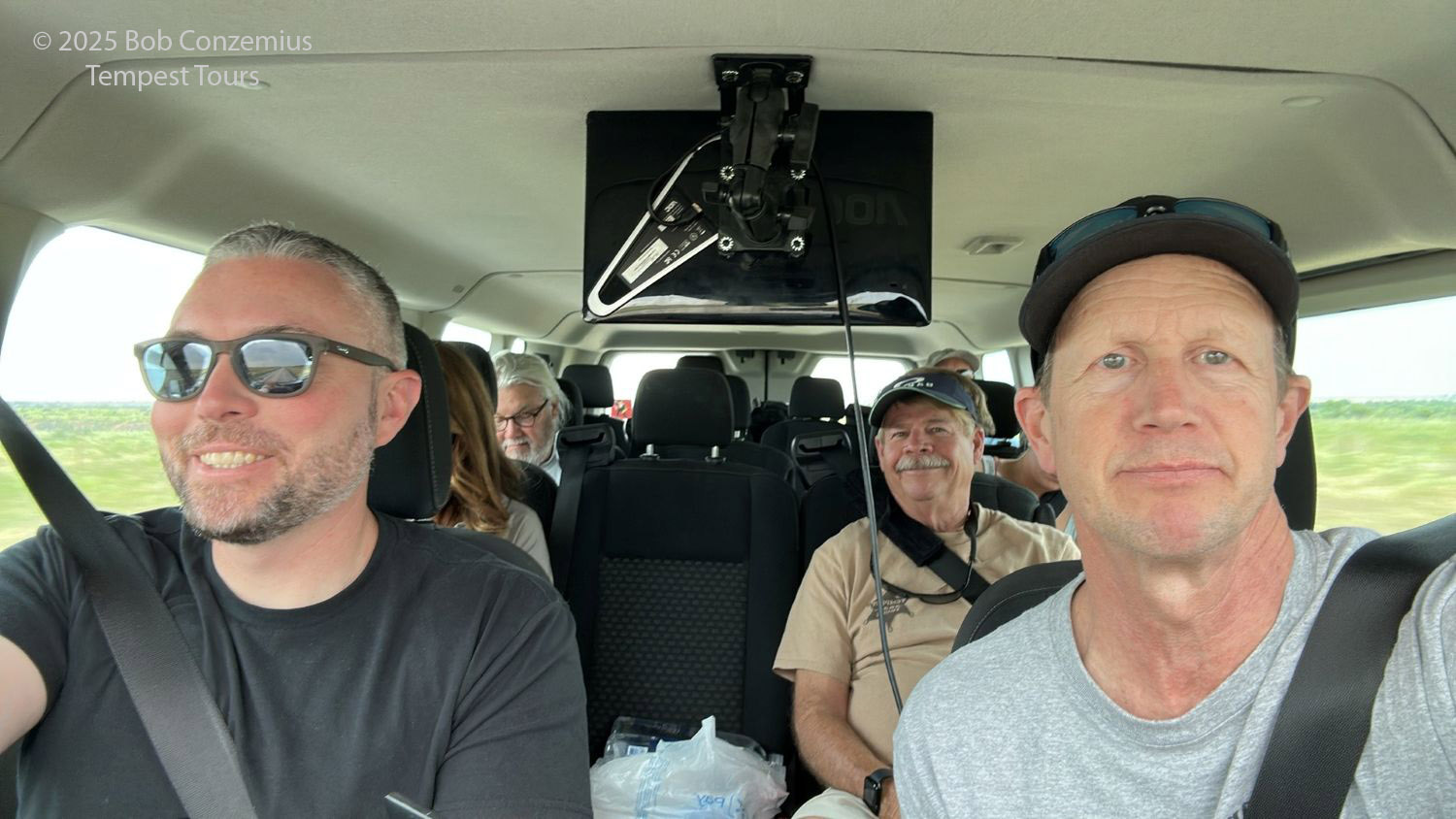 |
| We are excited for the chase. |
 |
| Approaching our target storm on Texas 422 east of Seymour. |
 |
| The updraft base is growing and looking healthy. |
 |
| The storm is developing a more heavy precipitation (HP) look as we follow it east on 422. |
 |
| The cell is definitely developing a lot of heavy precipitation. |
 |
| The storm has some broad rotation. To the left is the very wet RFD. |
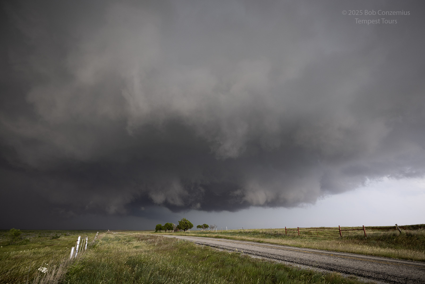 |
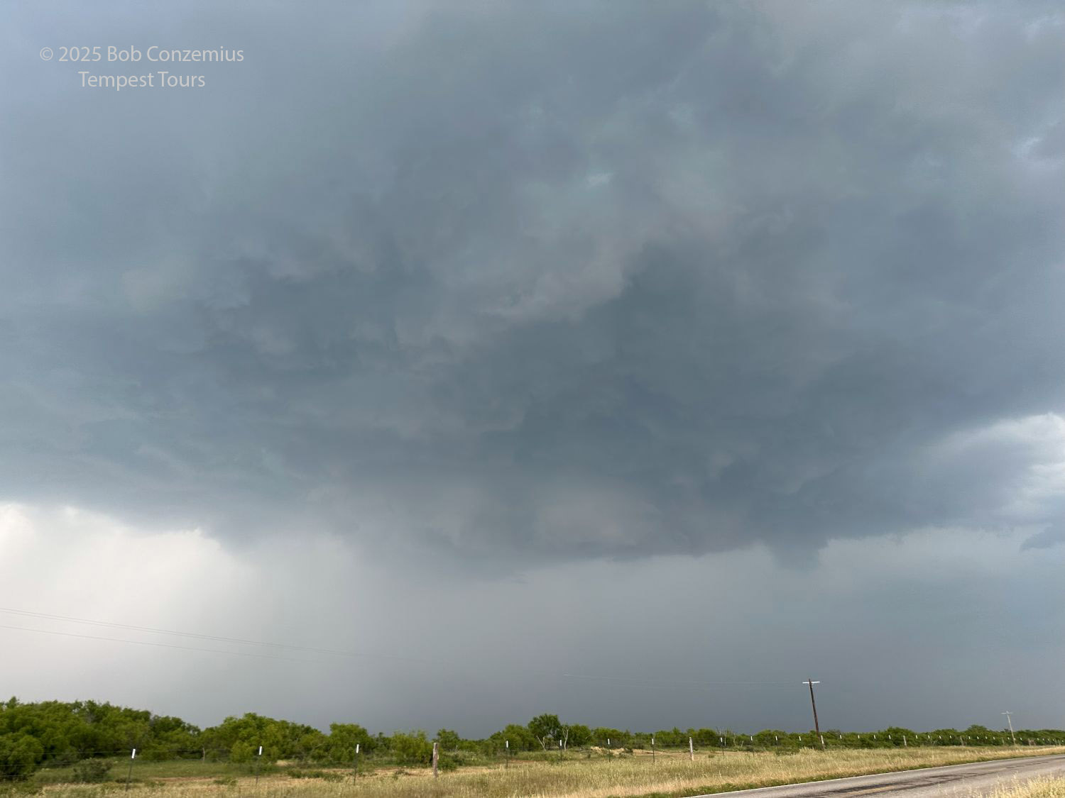
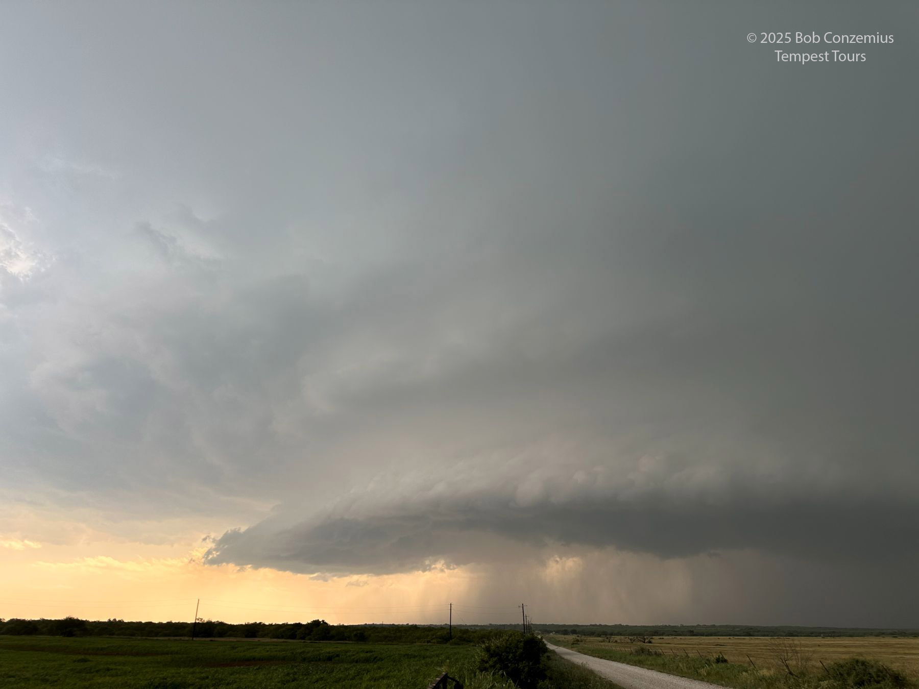
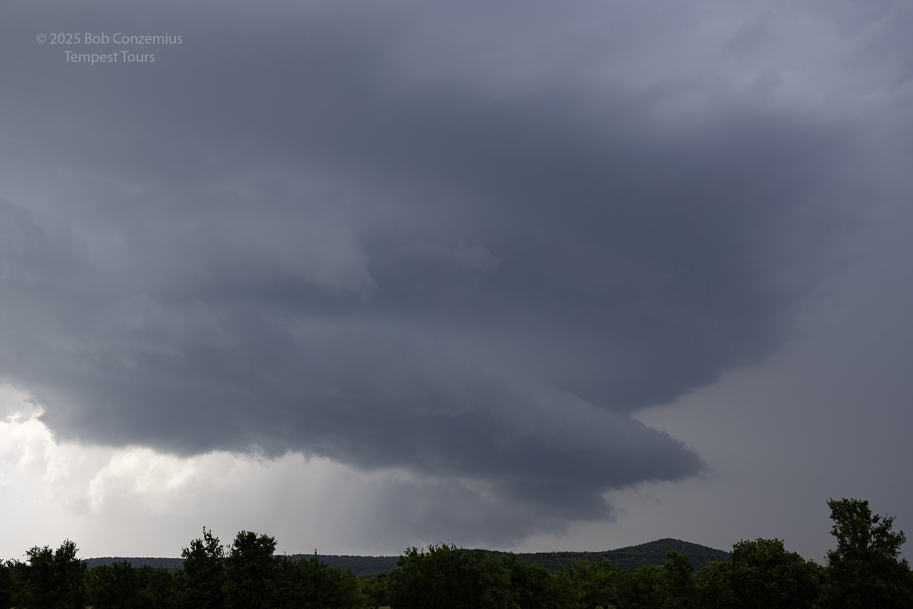
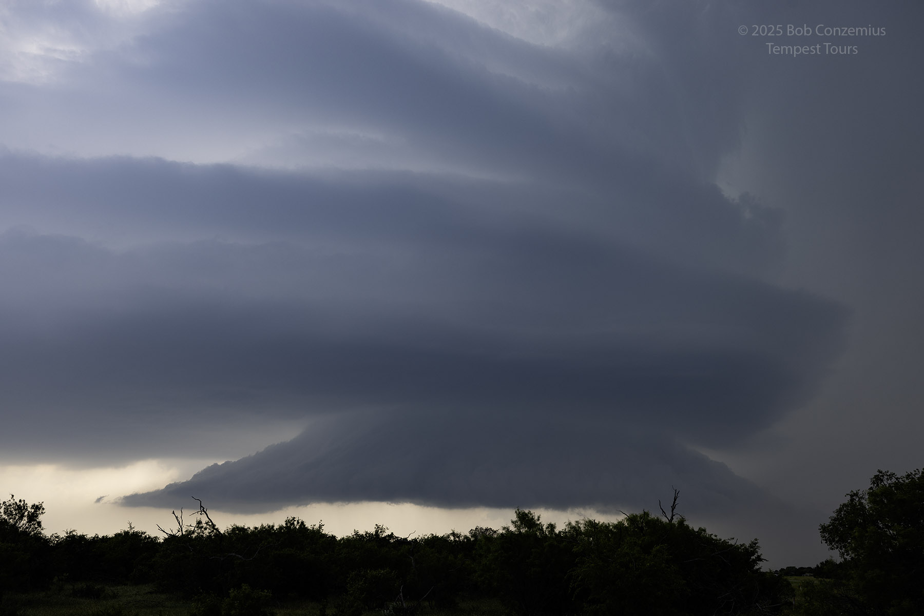
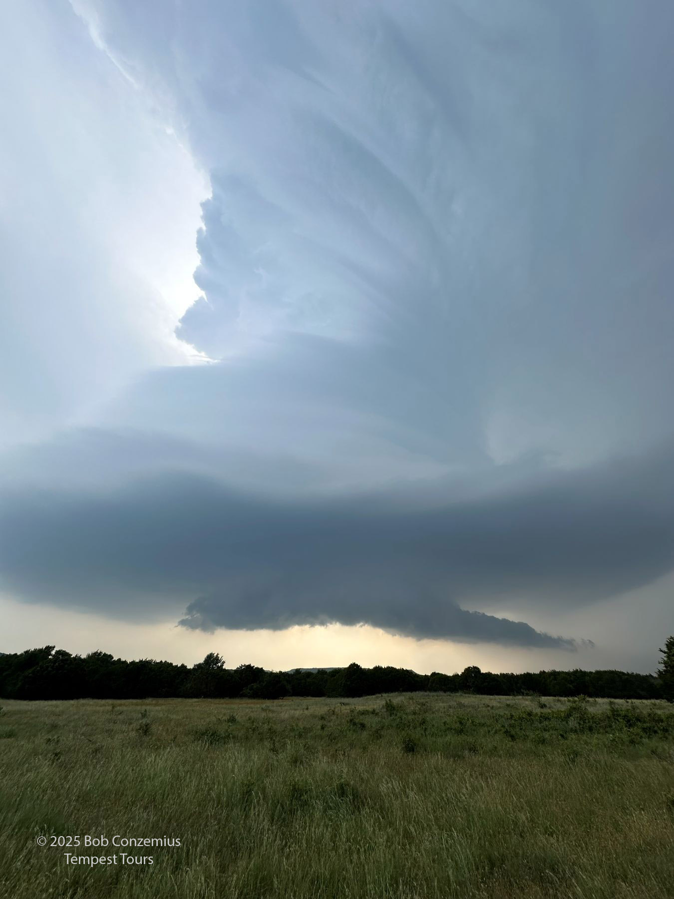
| The storm has reached its maximum HP phase. A mean, low base crosses the road to our east. |
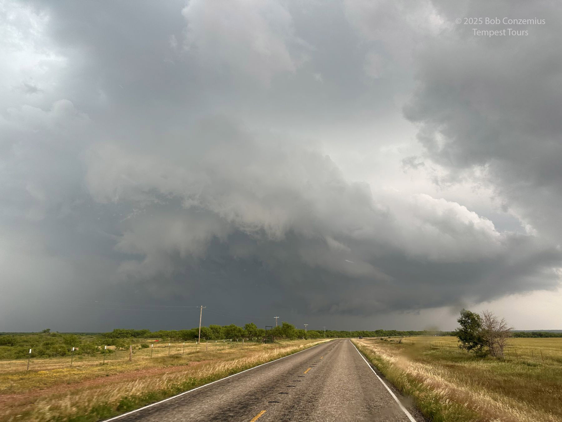
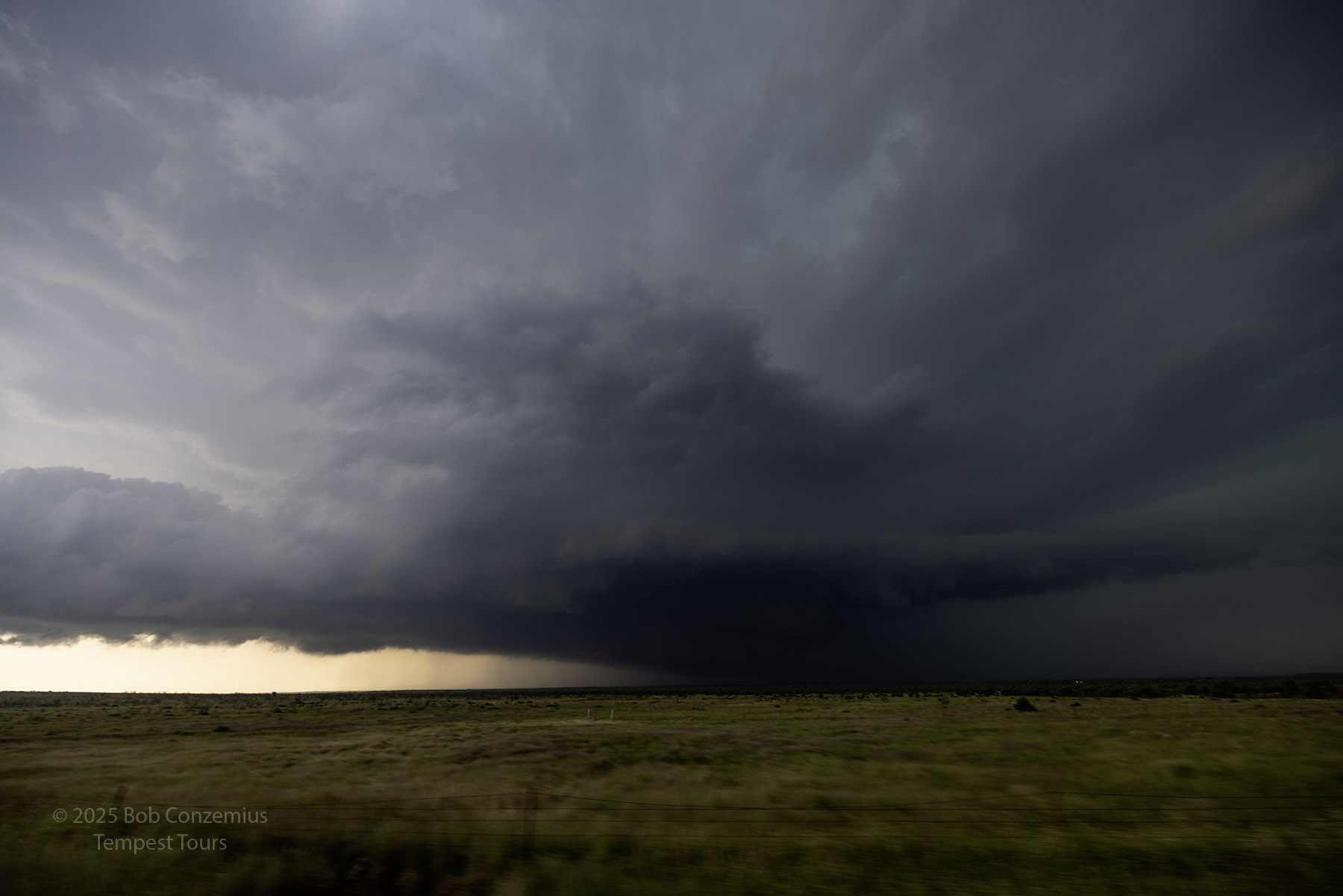
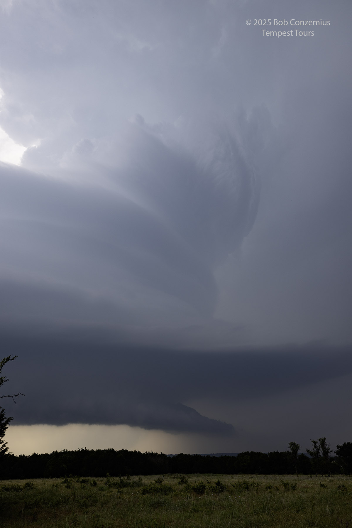
Up to this point, the storm had been shoing some increasingly HP characteristics. The cloud ceiling was really low, and the rear flank of the storm was filled with heavy rain. Broad rotation was evident, but the storm was definitely looking grungy and dark. I tend not to mind those types of storms as they make the storm seem a bit meaner, which is fun for me (not as sure if it's that way for the guests, though). Bill (who was leading Tour 4A) does not really like these types of storms. At about this point in the chase, he decided to abandon our storm and look for something, hopefully more on the classic or LP side of the supercell spectrum, farther to the northwest. In his shoes, I would likely make the same decision. Maybe my perspective on the storm was a little better. I don't know. I was not in a hurry to leave.
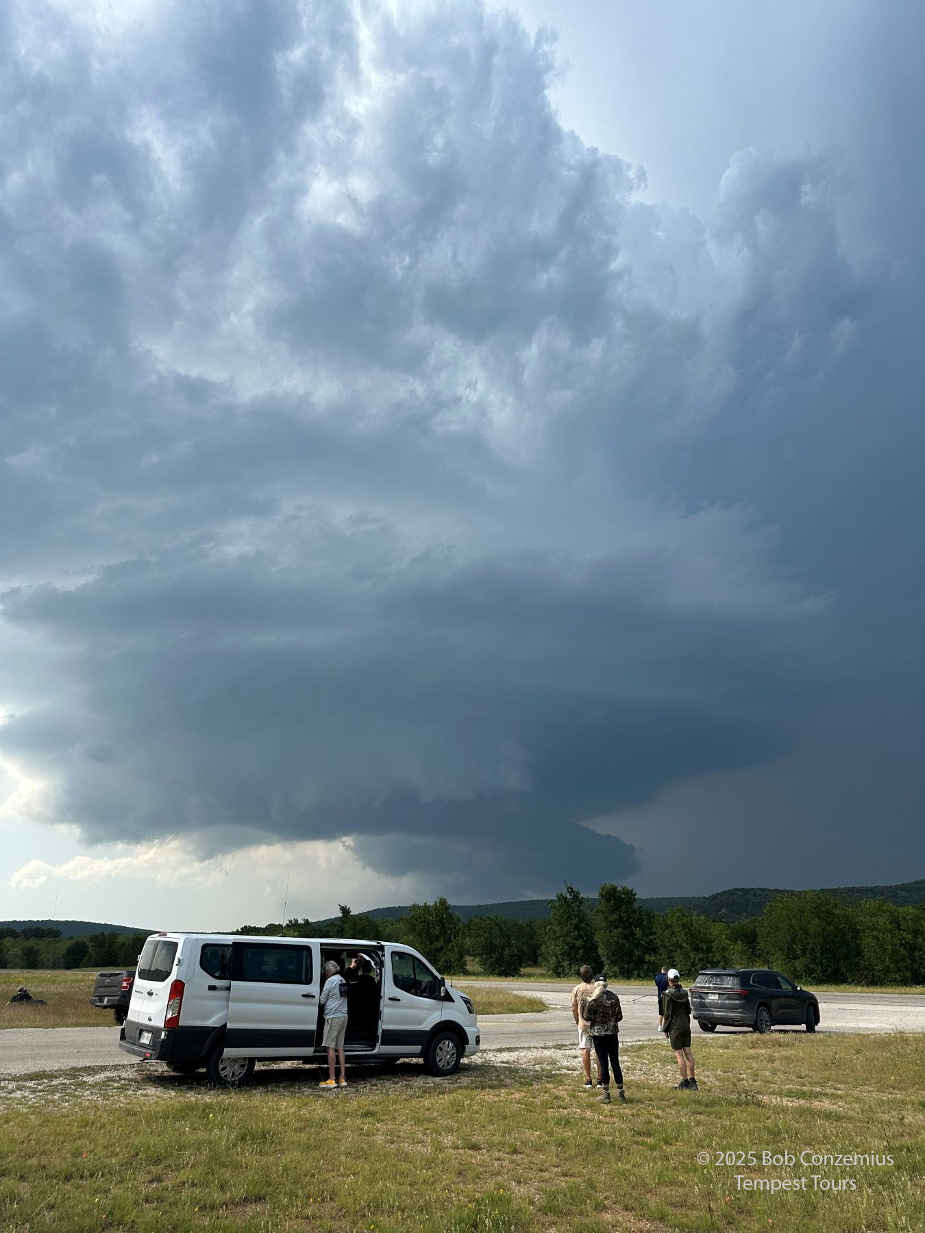
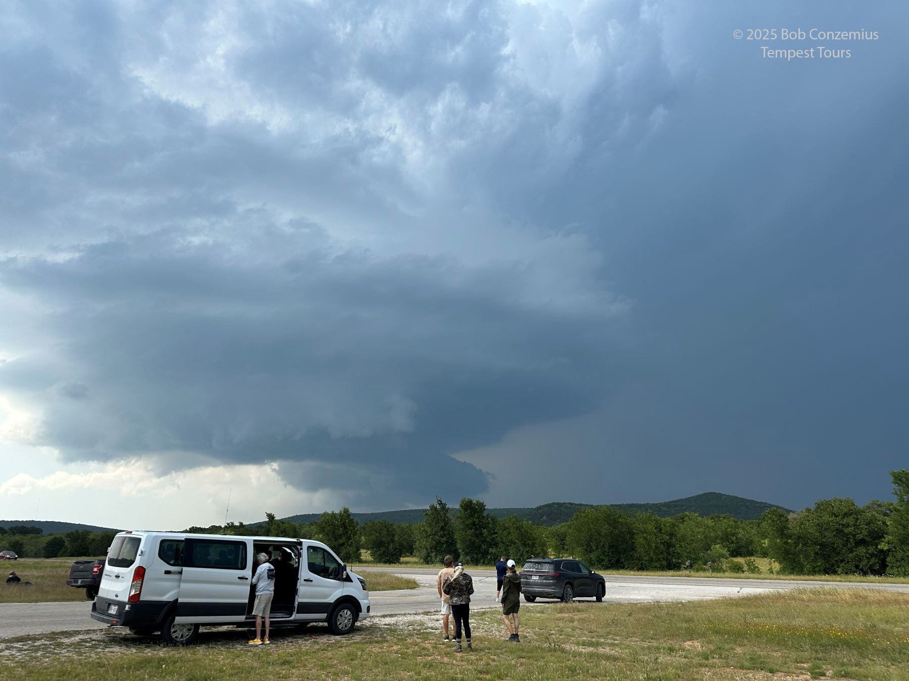
Counter to both our expectation, the storm began to change a bit. We got past Jean, Texas, and made another deployment well east of the storm so we could watch it for a bit. During this time, the size of the rain-filled RFD region in the storm decreased. There was still a lot of precipitation in the forward flank of the storm, but the precipitation below the updraft base was diminishing.
 |
| Farther southeast, looking north at the storm. |
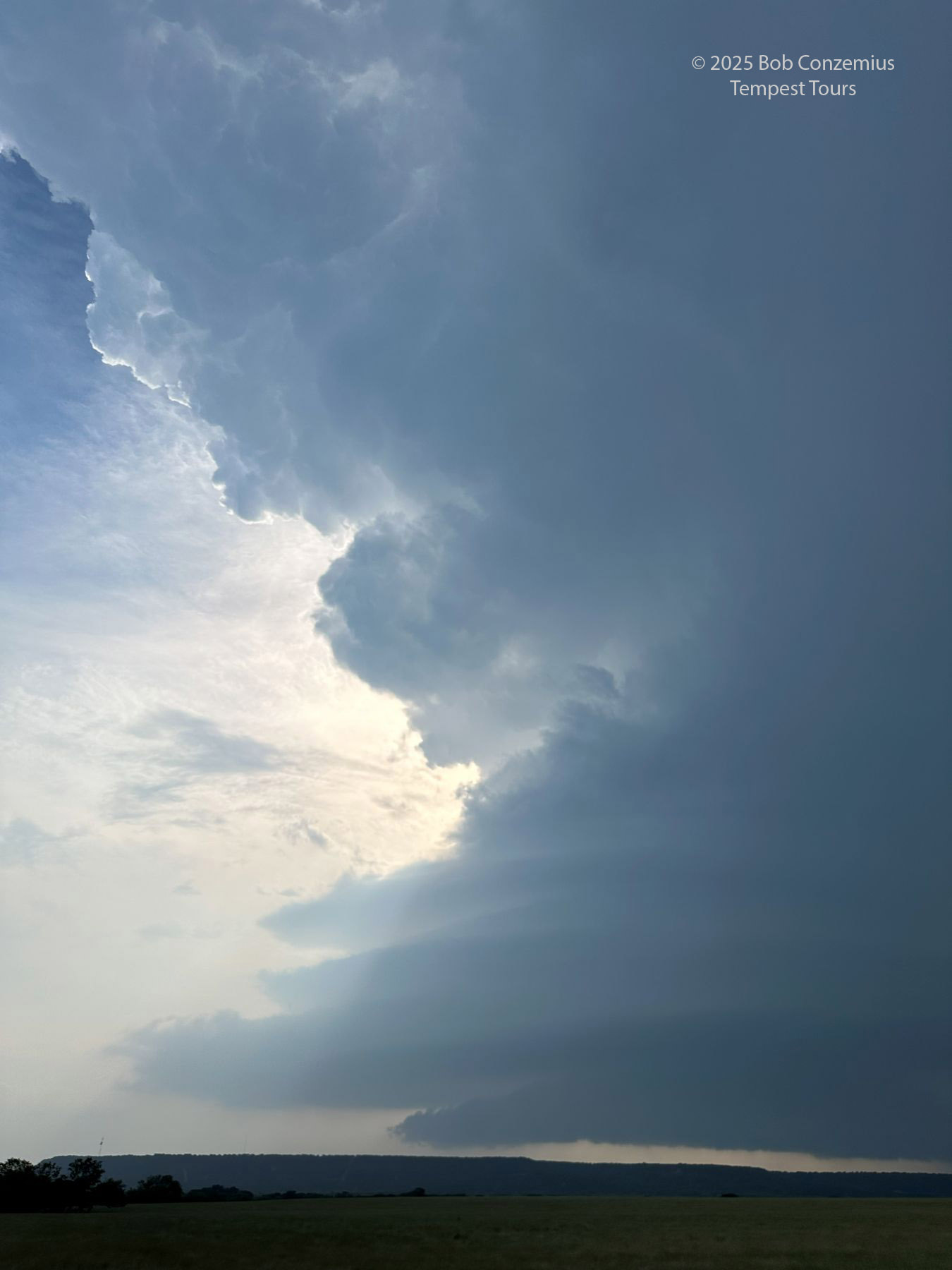
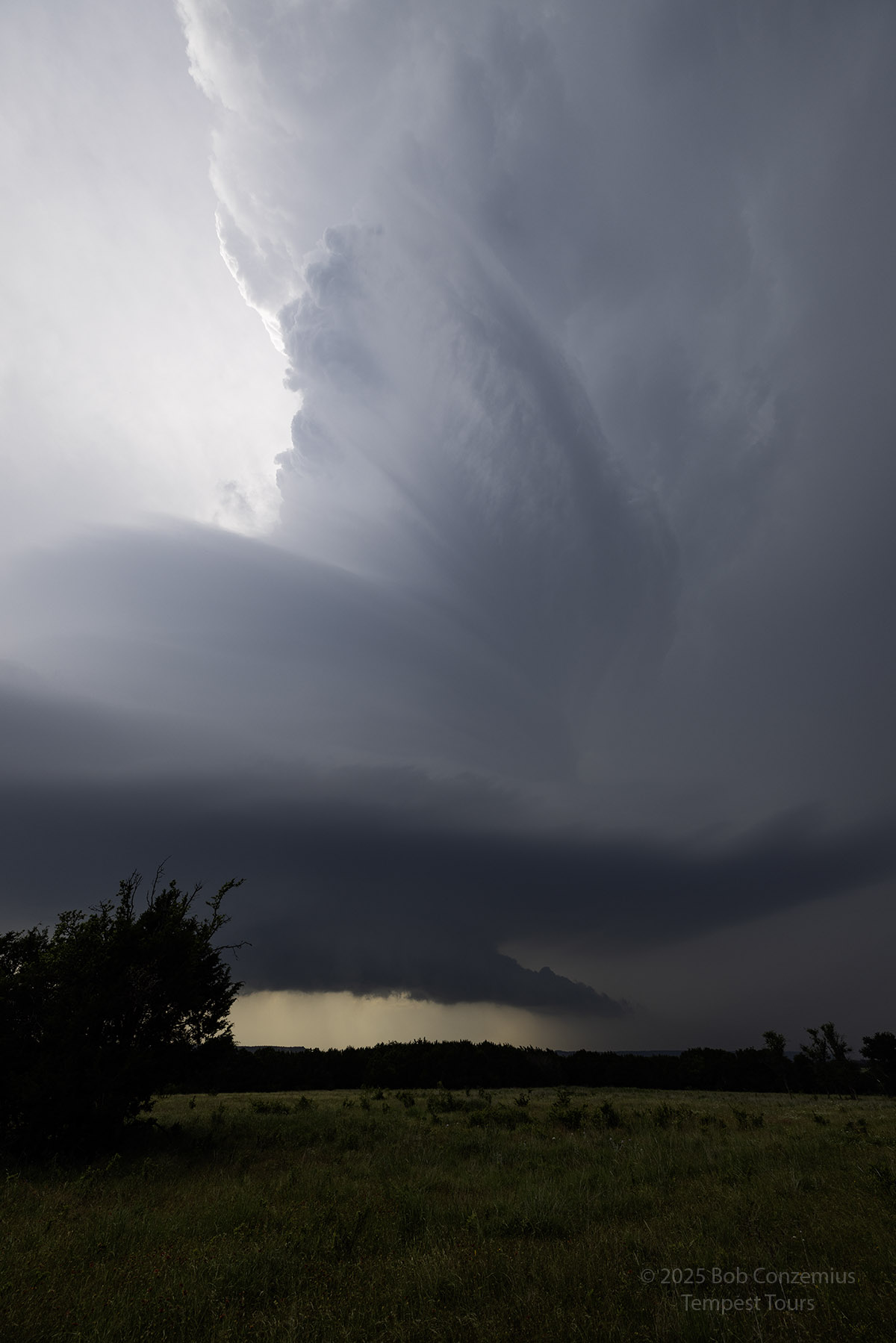
As we watched from our long deployment location east of Jean, TX, the storm underwent a transition to more of a classic supercell. There was a little bit of rain underneath the updraft, but the RFD was definitely no longer filled with precipitation. By the time we got through Graham and made another long deployment on the storm, the precipitation was visually gone from the updraft base, and a drier RFD cut through the base.
 |
| Farther east (east of Jean, TX), the storm is becoming more classic. |
 |
| Getting less HP. |
 |
| Getting less HP. |
 |
| Driving south in front of the storm. |
 |
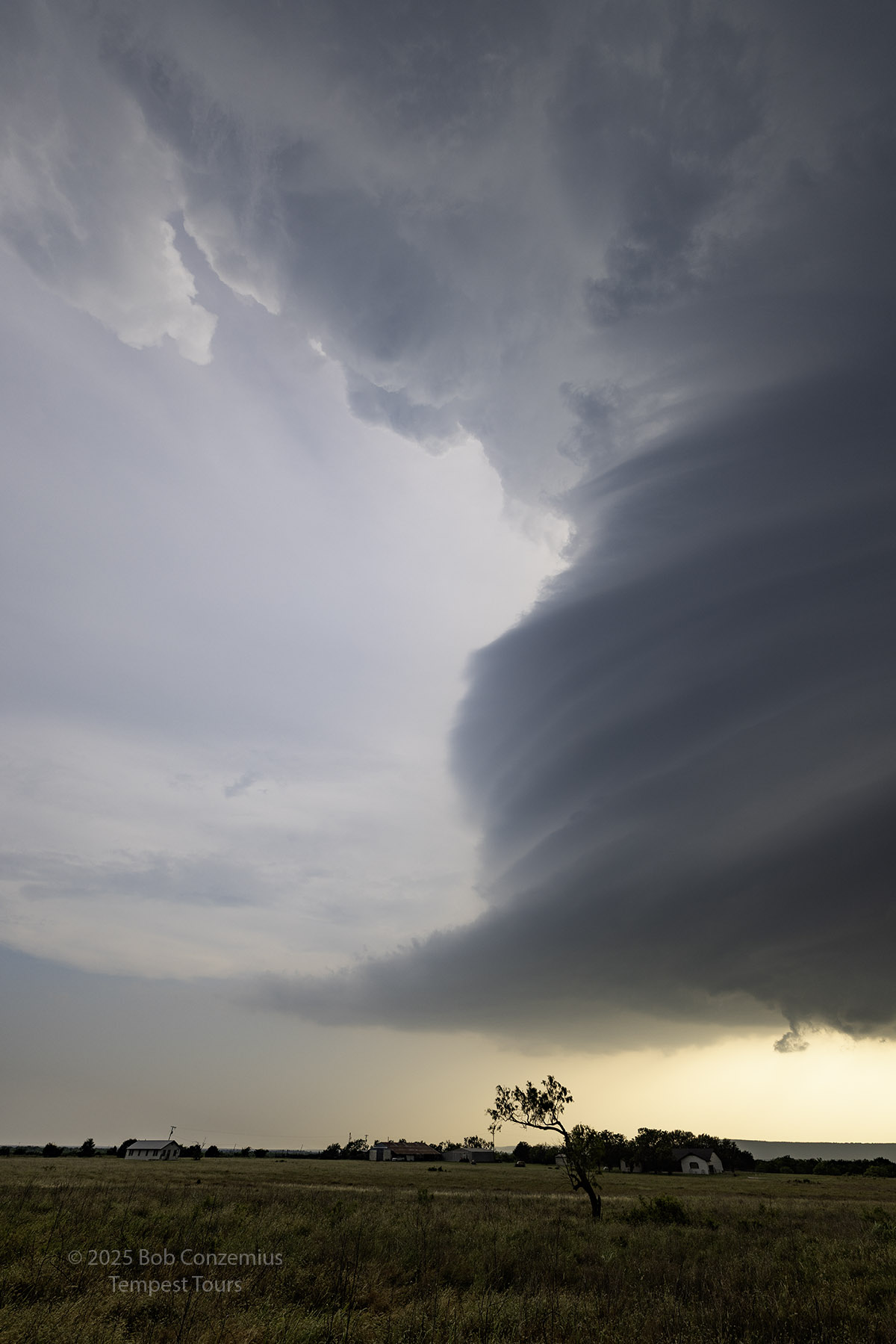
| Looking west, we are just south of Loving, TX. |
 |
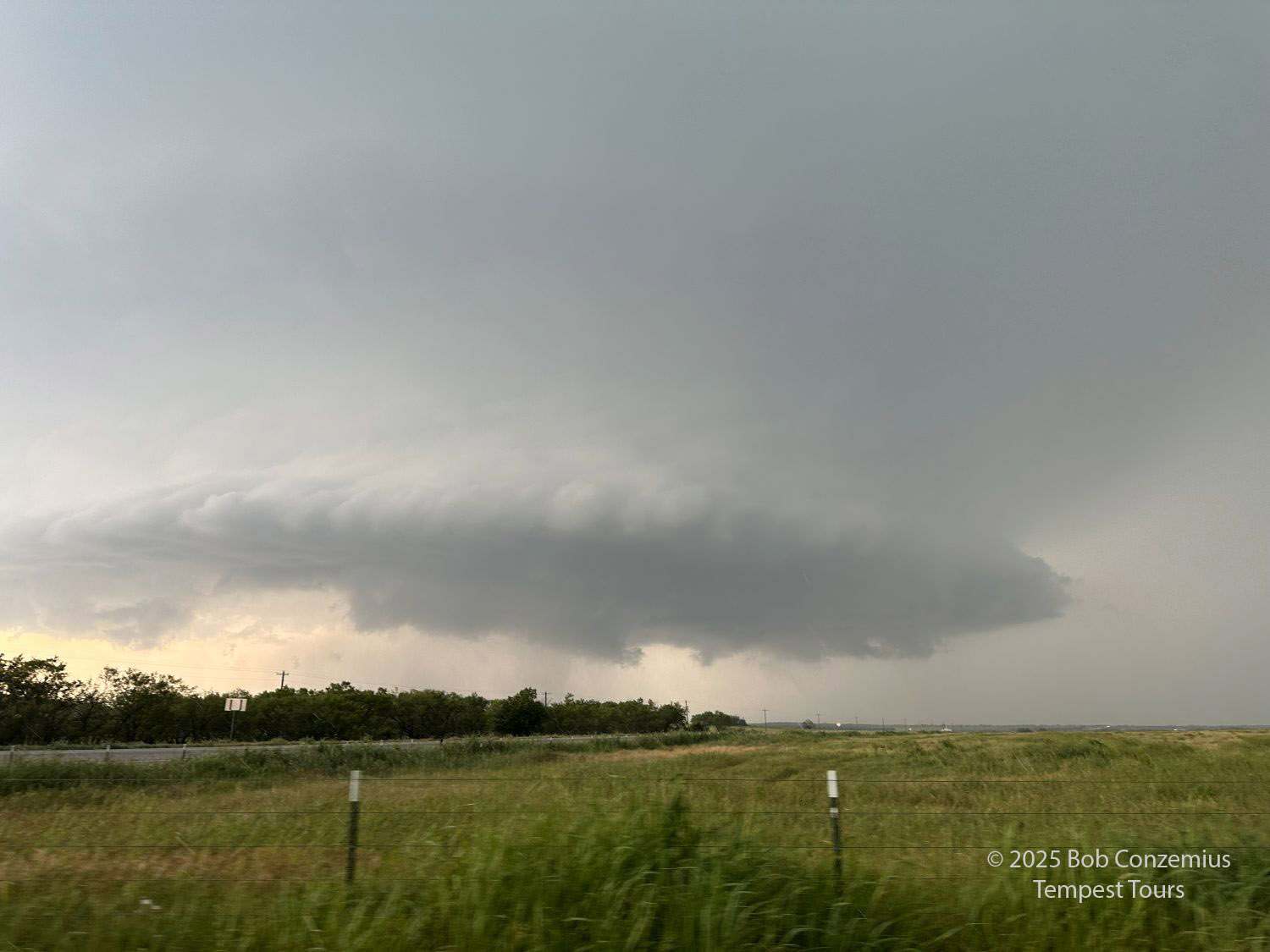
| We stop a few minutes later to take some pictures. Definitely in the classic range of the supercell spectrum now. |
 |
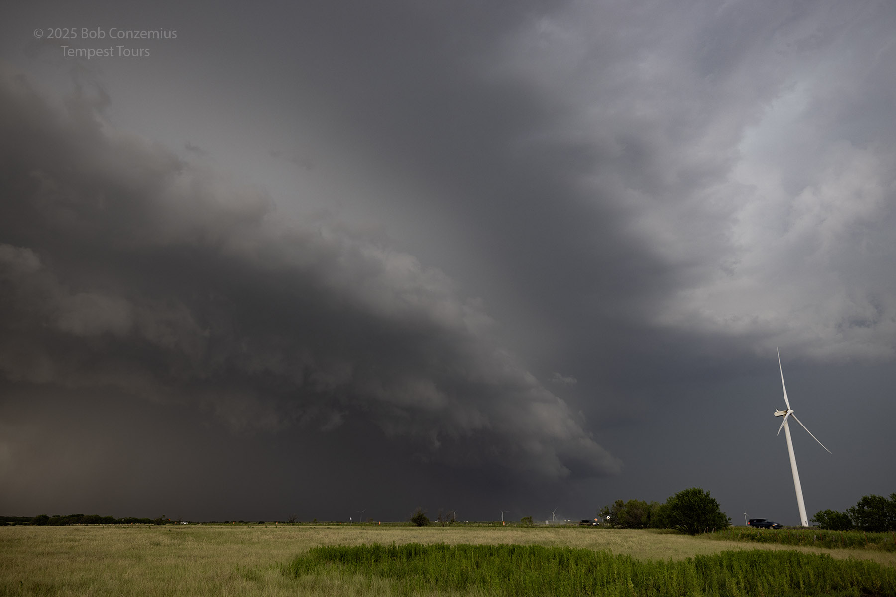
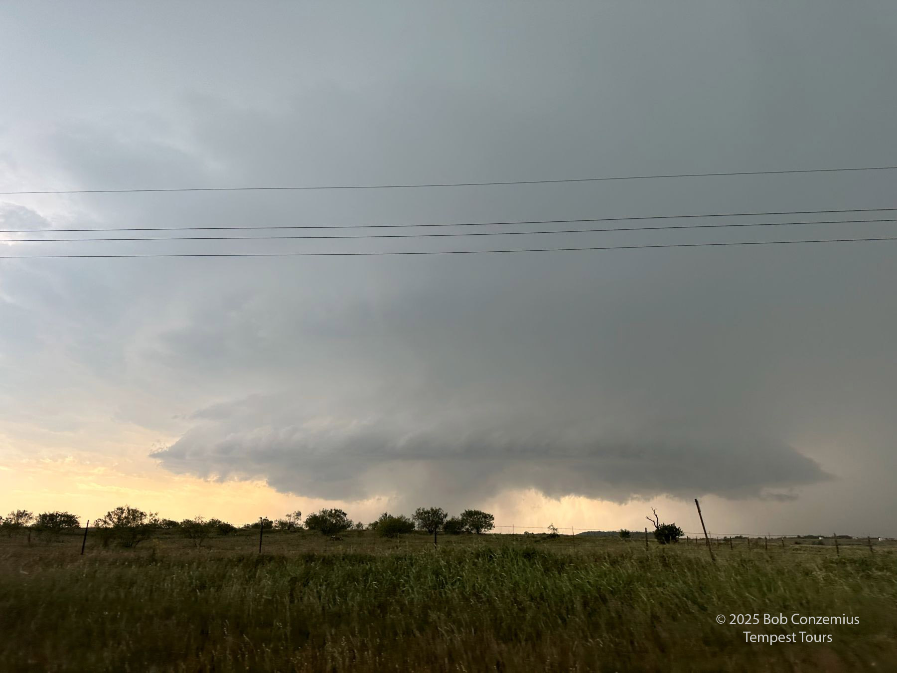
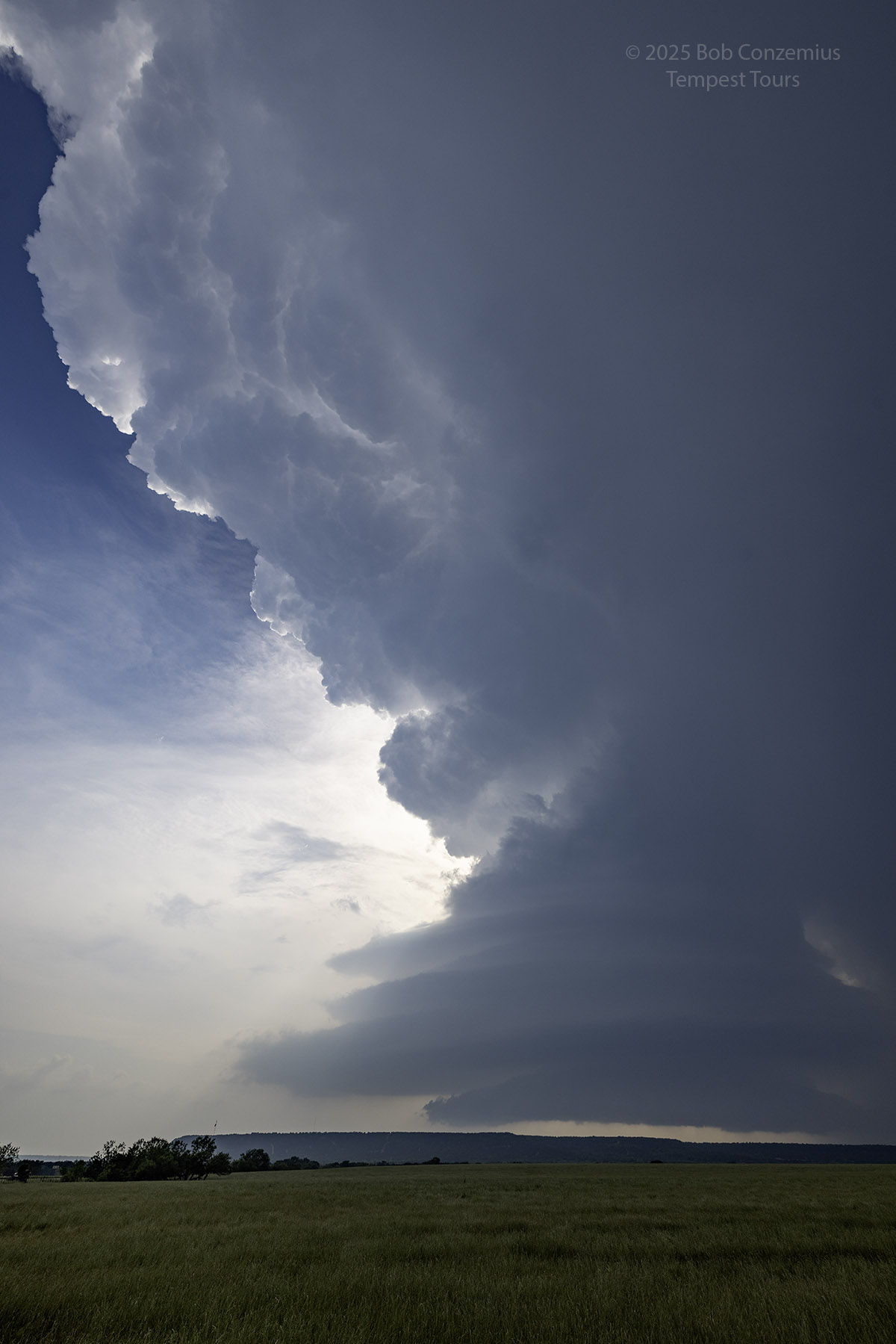
| Southeast of Graham, the cell is moving toward the LP end of the spectrum. |
 |
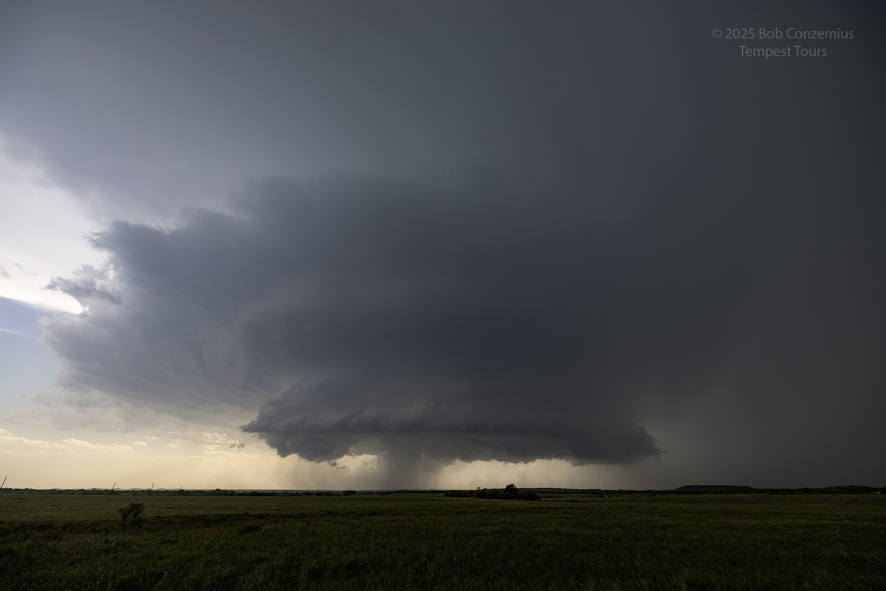
| Supercell storm southeast of Graham, TX. |
 |
| Southeast of Graham. |
 |
| I get my good camera out to take a few stills. |
 |
| Storm continues to move toward the southeast and across our field of view. |
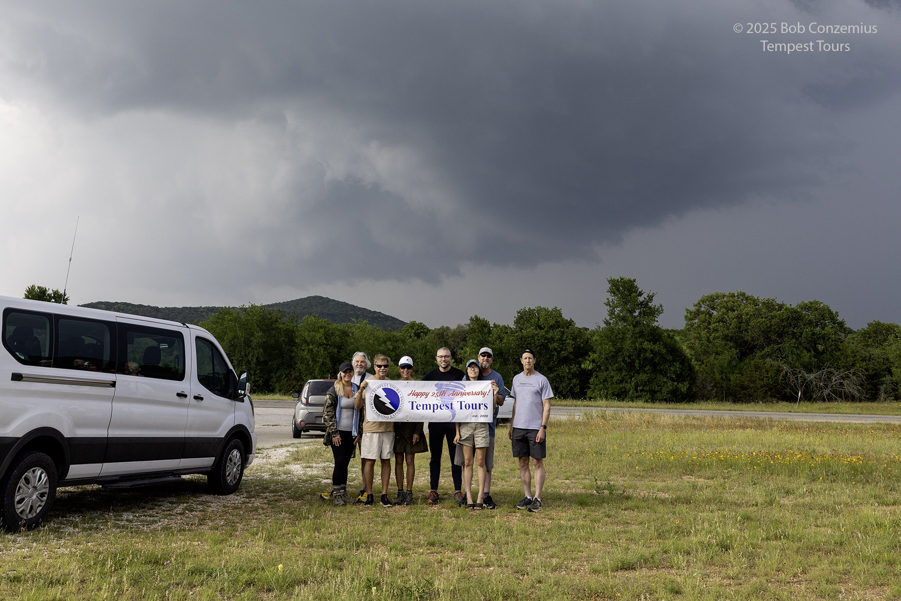 |
| We have enough time here to take our official group picture. |
 |
| Here is a radar loop of our storm near Graham. |
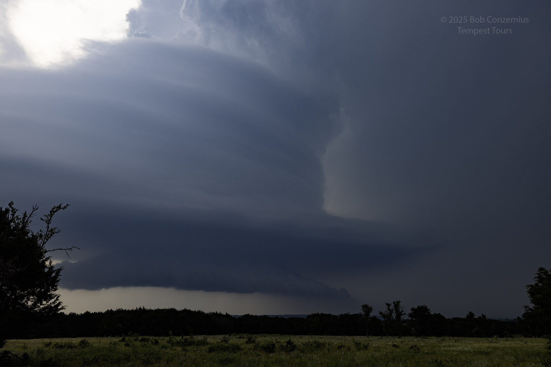
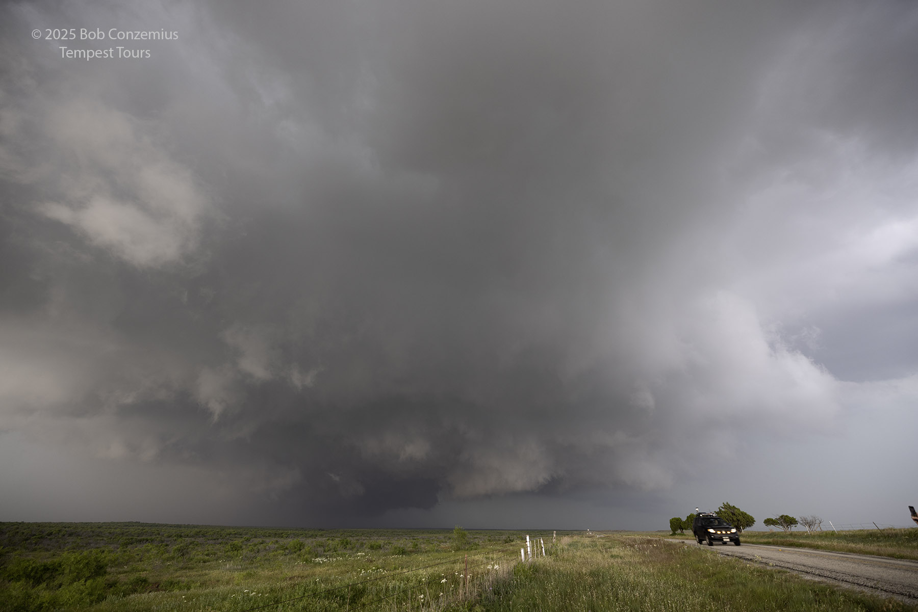
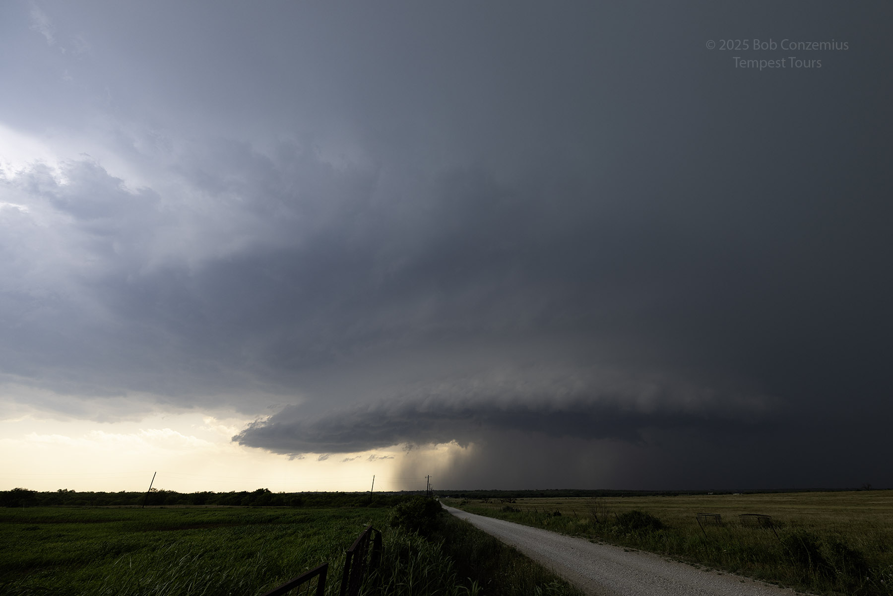
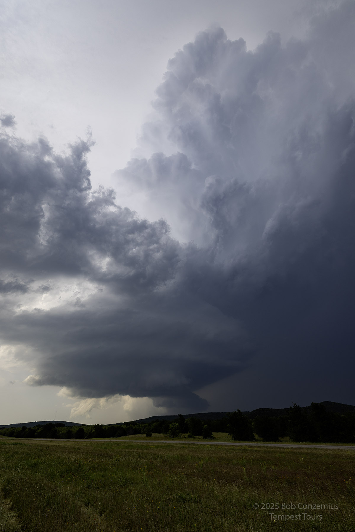
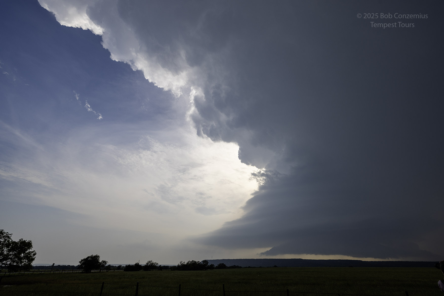
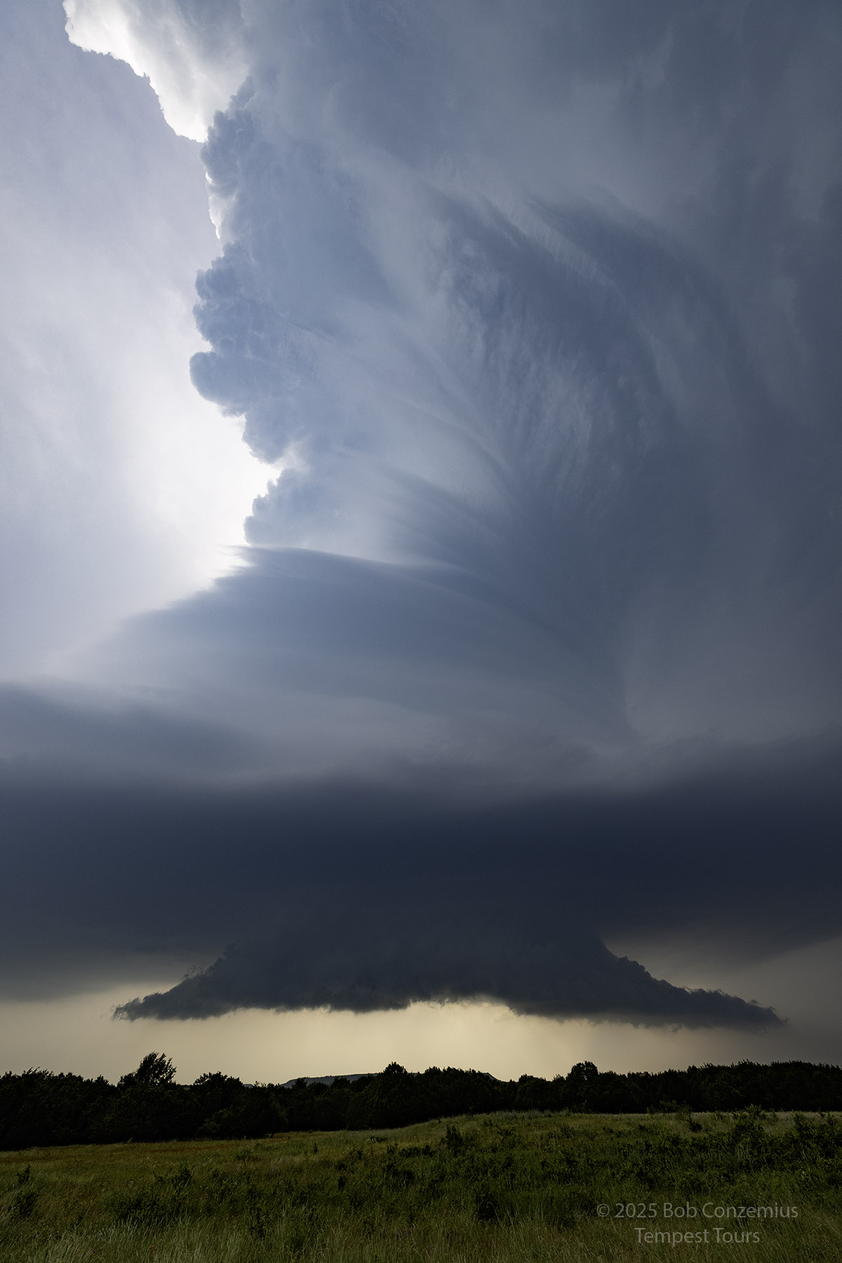
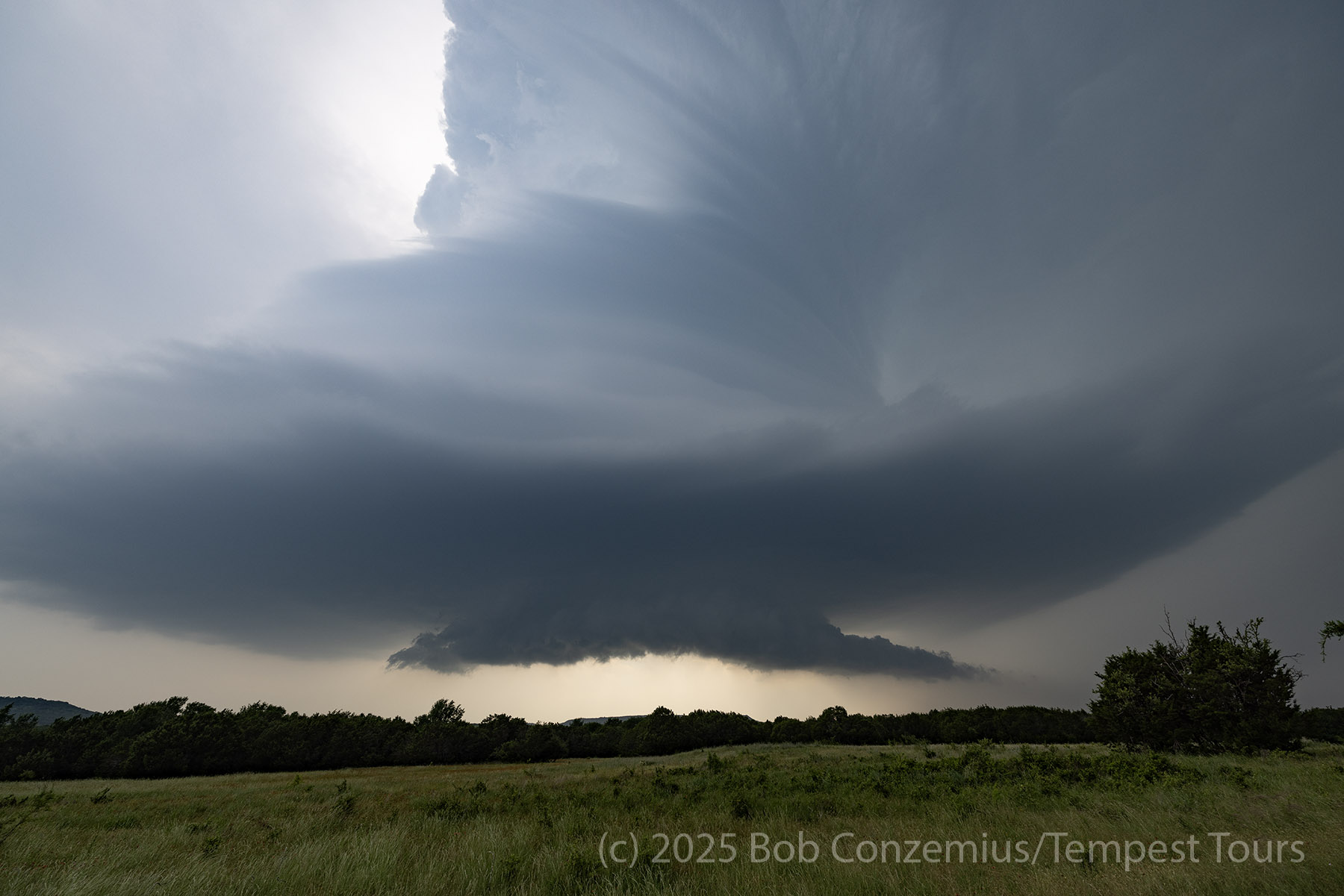
The storm was now definitely more on the LP side of the spectrum. The radar loop still looked a bit on the classic side, but the storm was diminishing in size without dissipating. We continued to follow it toward Palo Pinto, where it became a full-on barber pole updraft.
 |
| We are now east of Possum Kingdom Lake, and the time is almost 6:00 PM. |
 |
| I walked down the road a bit to get a better picture with my Canon R5. |
 |
| Just west of Graford, TX. The storm is starting to look more like a barber pole. |
 |
| Same picture with the Canon R5. |
 |
| Same shot as above but in landscape orientation. |
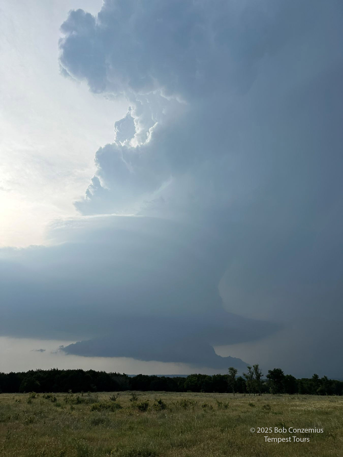 |
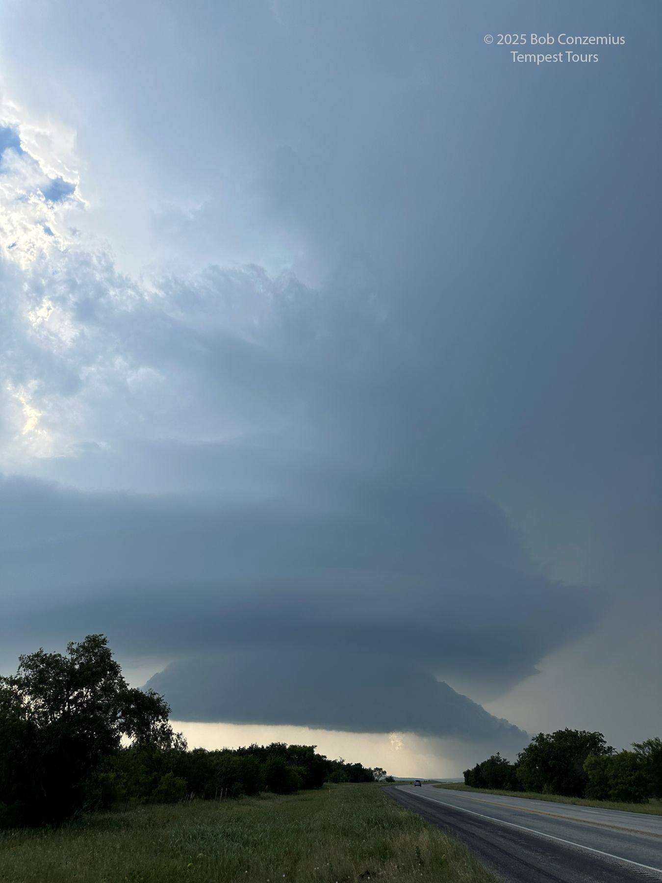
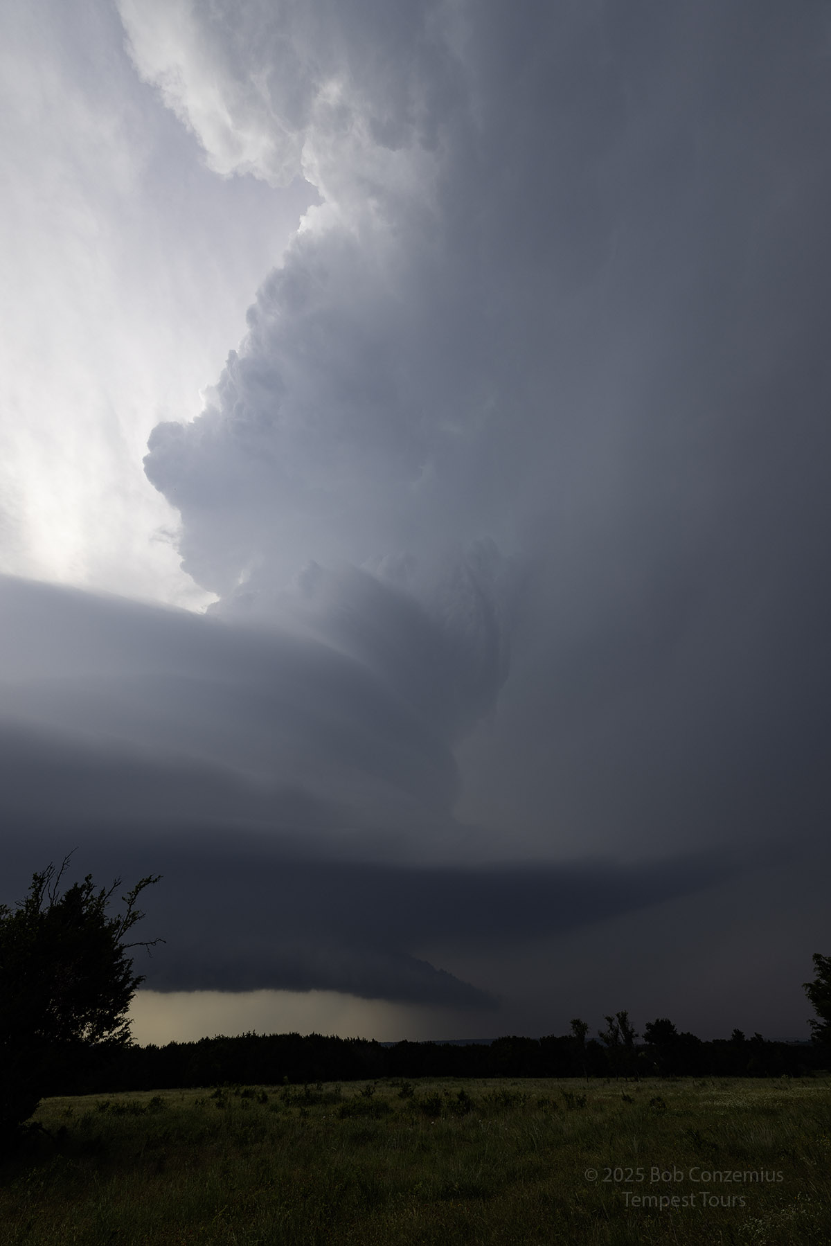
| Between Graford and Palo Pinto. The storm is now a barber pole. |
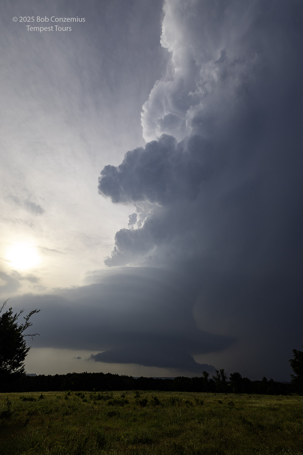 |
| Same shot with the Canon R5. |
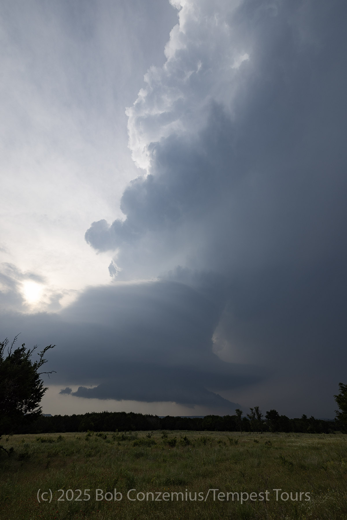 |
| Barber pole. |
 |
| Barber pole. |
 |
| Barber pole. |
 |
| Barber pole. |
 |
| This is the text that appears underneath the picture. |
 |
| The most visually dramatic shot. |
 |
| The best landscape shot. |
 |
| The best shot with my cell phone. |
 |
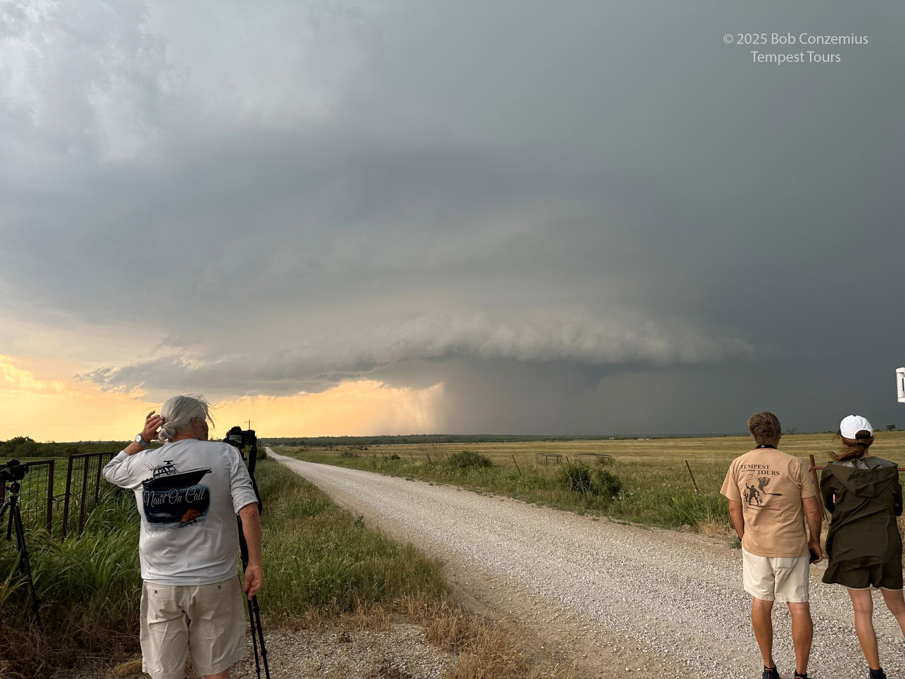
| Our last deployment on the storm closer to Palo Pinto. |
When Bill heard about our chase, he was a bit disappointed and regretting his decision to abandon our storm. The fact that I had stayed with it was pretty much just luck. I had not anticipated a transition to an LP storm, especially in this part of Texas. This would play a big role in Bill's determination to get the guests of Tour 4A one last great storm on their tour. Tour 4B was pretty satisfied after this chase, but I, too, was hoping for one more good day tomorrow.
After the last deployment near Palo Pinto, we took a bit of a pit stop for a grab-and-go dinner and then drove northwest toward Childress to get in better position to chase the next day in the Oklahoma Panhandle or southeastern Colorado.
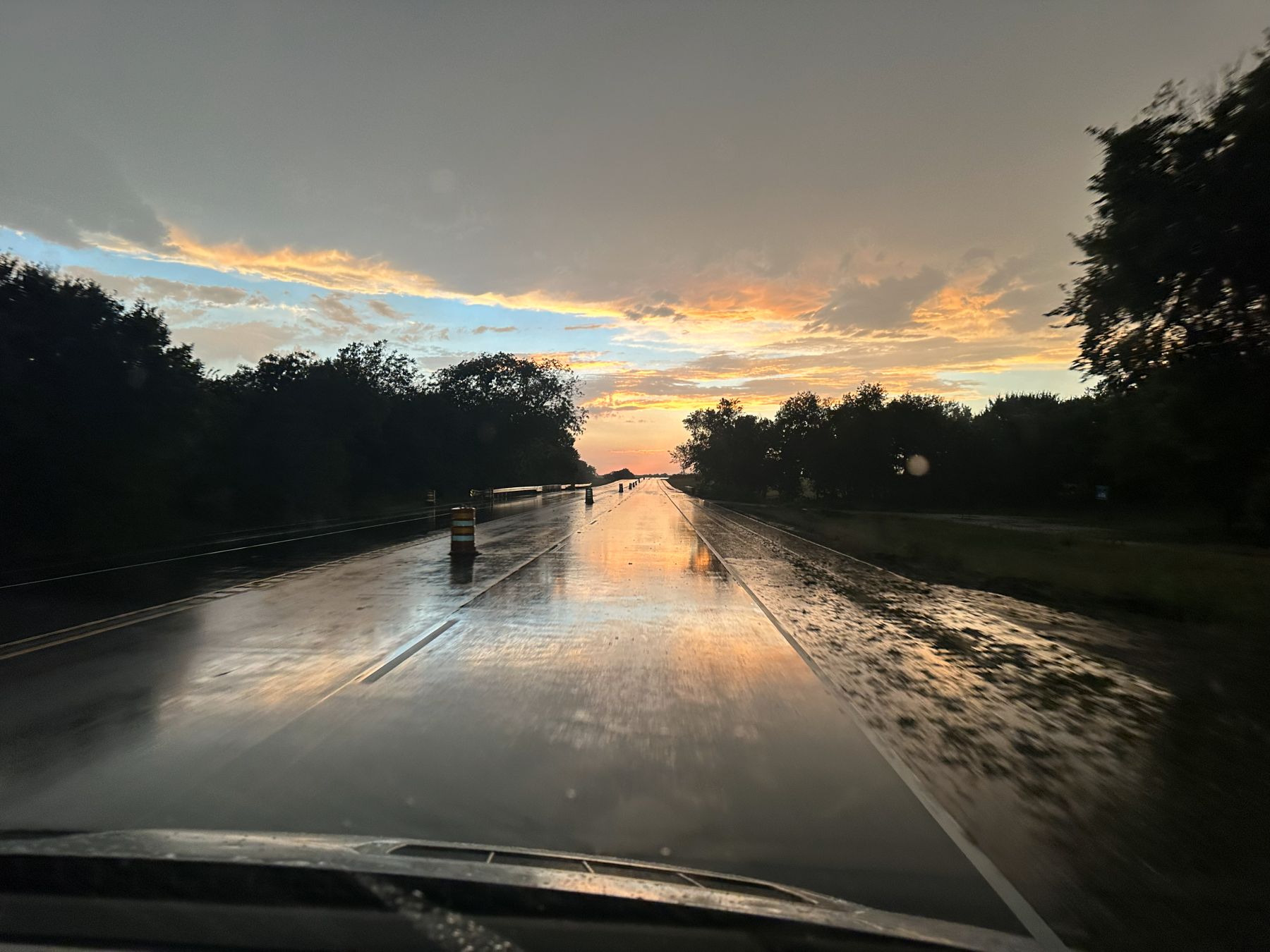 |
| Sunset with the cell phone. |
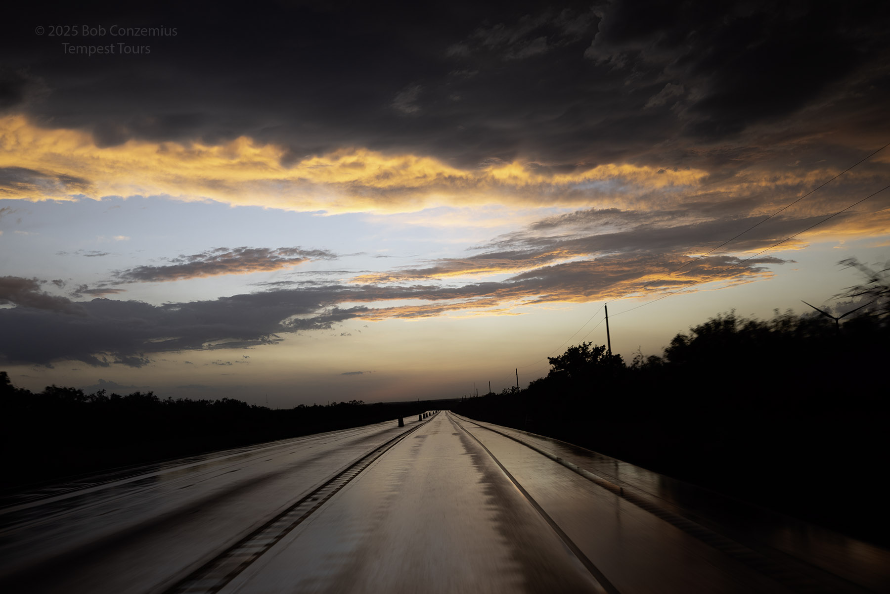 |
| Sunset with the R5. |
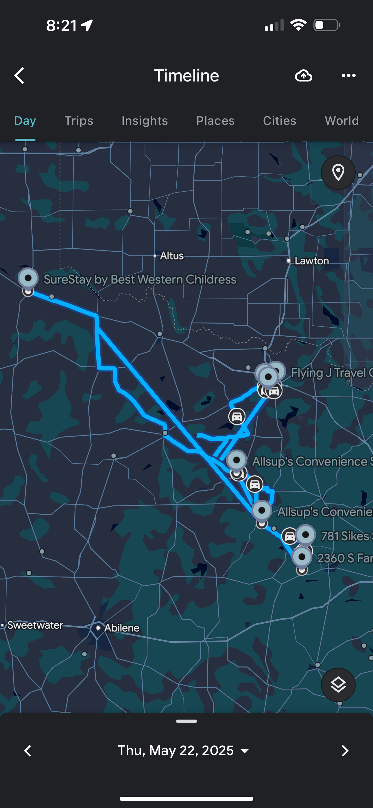 |
| Our route for the day. |
Back to Storm Chases | Home