July 26, Squall Line
Isle Royale in Lake Superior
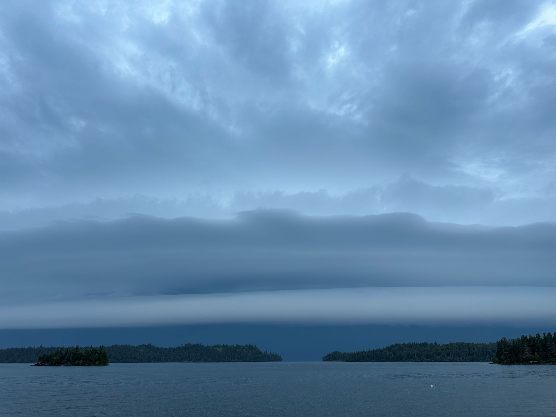
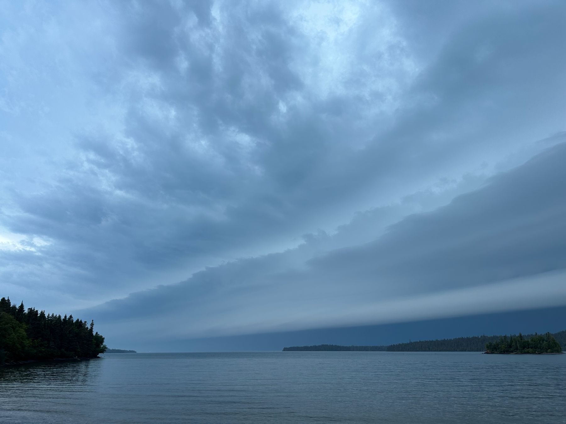
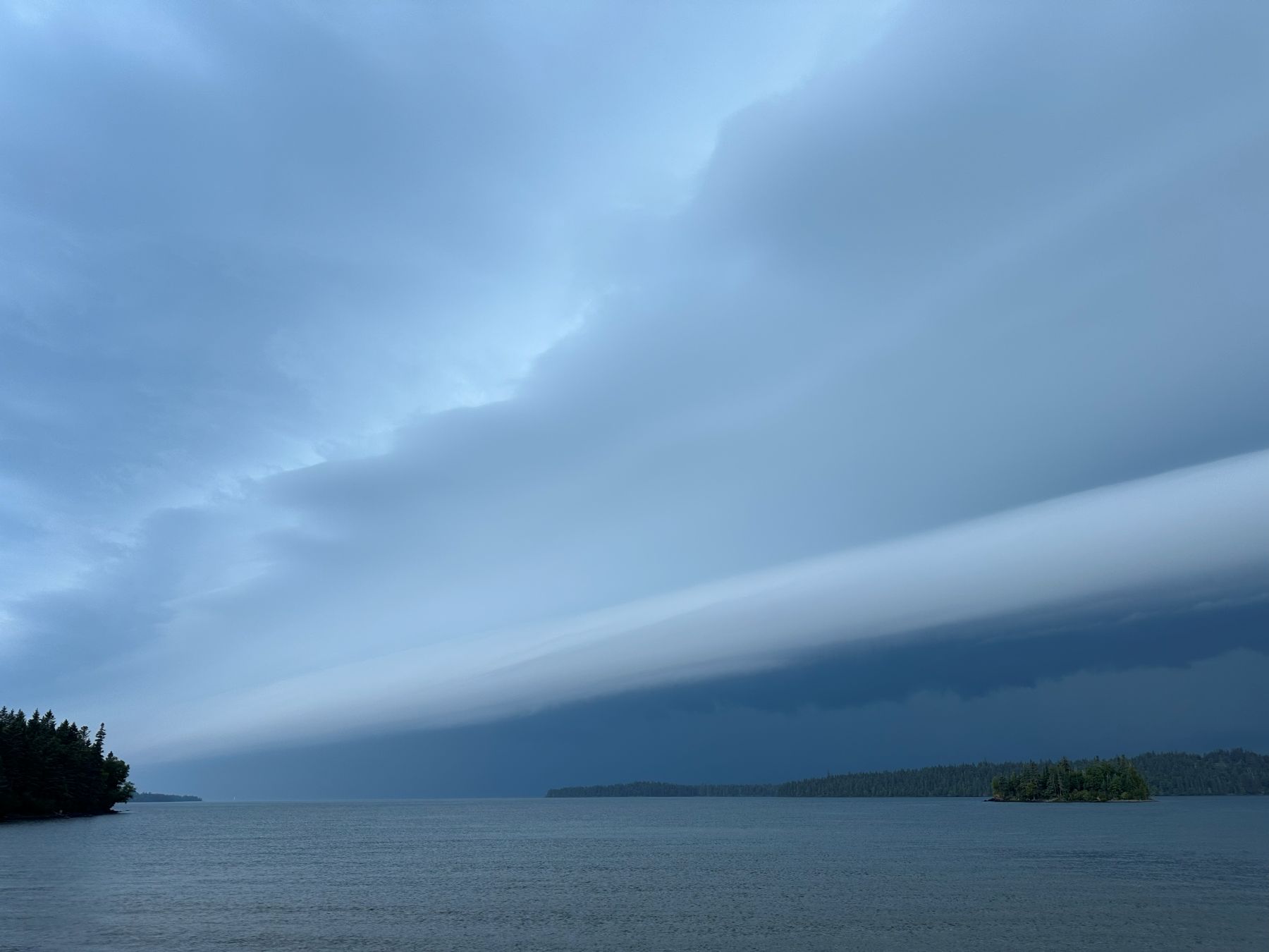
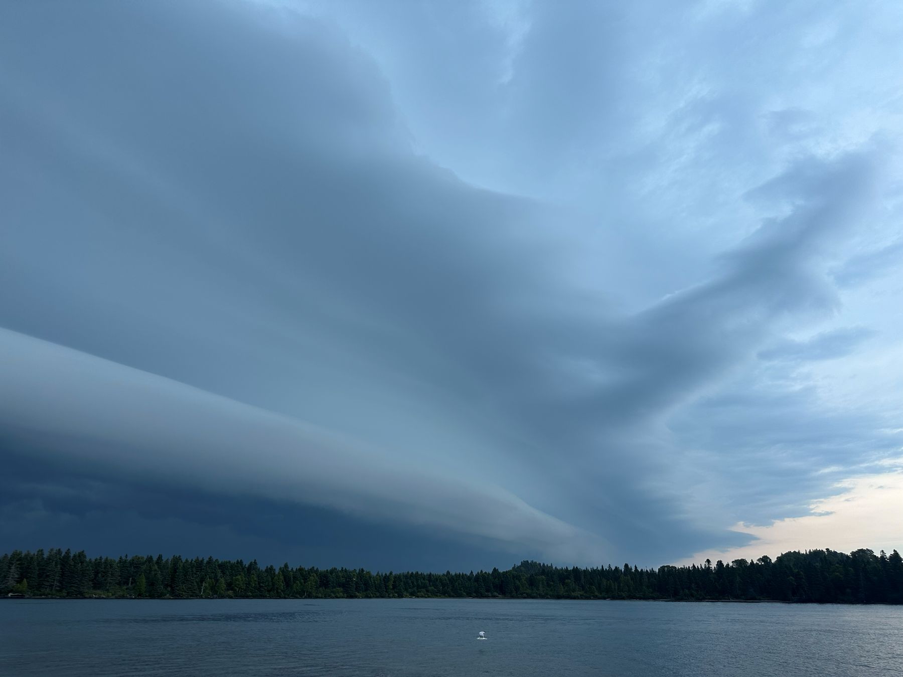
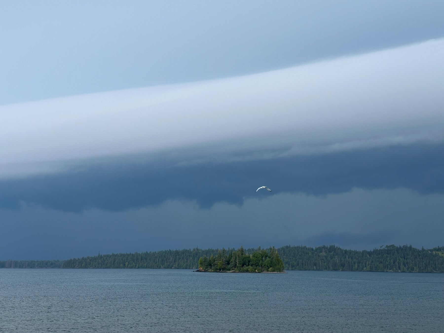
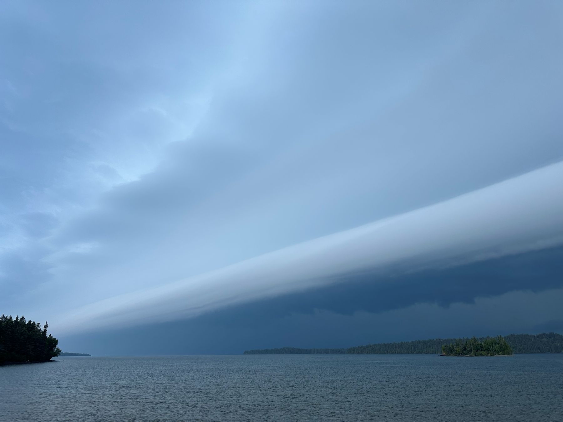
I was not planning on any storm photography today. I was taking a boat trip to Isle Royale with some friends. We hauled the boat to Grand Portage, Minnesota and launched the boat into Lake Superior there. We got out to the Island and had some time to leisurely tour around the west end of the island in the afternoon. In the very late afternoon, a line of storms approached with a beautiful, laminar shelf cloud. We let this storm pass then continued around the south side of the Island into Siskiwit Bay, where the storm had excited a bit of a seiche. We boated over the Siskiwit Bay campground and hiked along the beach for a bit. We ran into other people along the beach, who were walking back from the mouth of a small river that emptied into the bay. They stated that the river was flowing backward for a bit. I subsequently noted the high water marks on the sand, and it looked like the water levels had been changing on the order of a foot. There definitely was a little bit of a seiche in the bay!
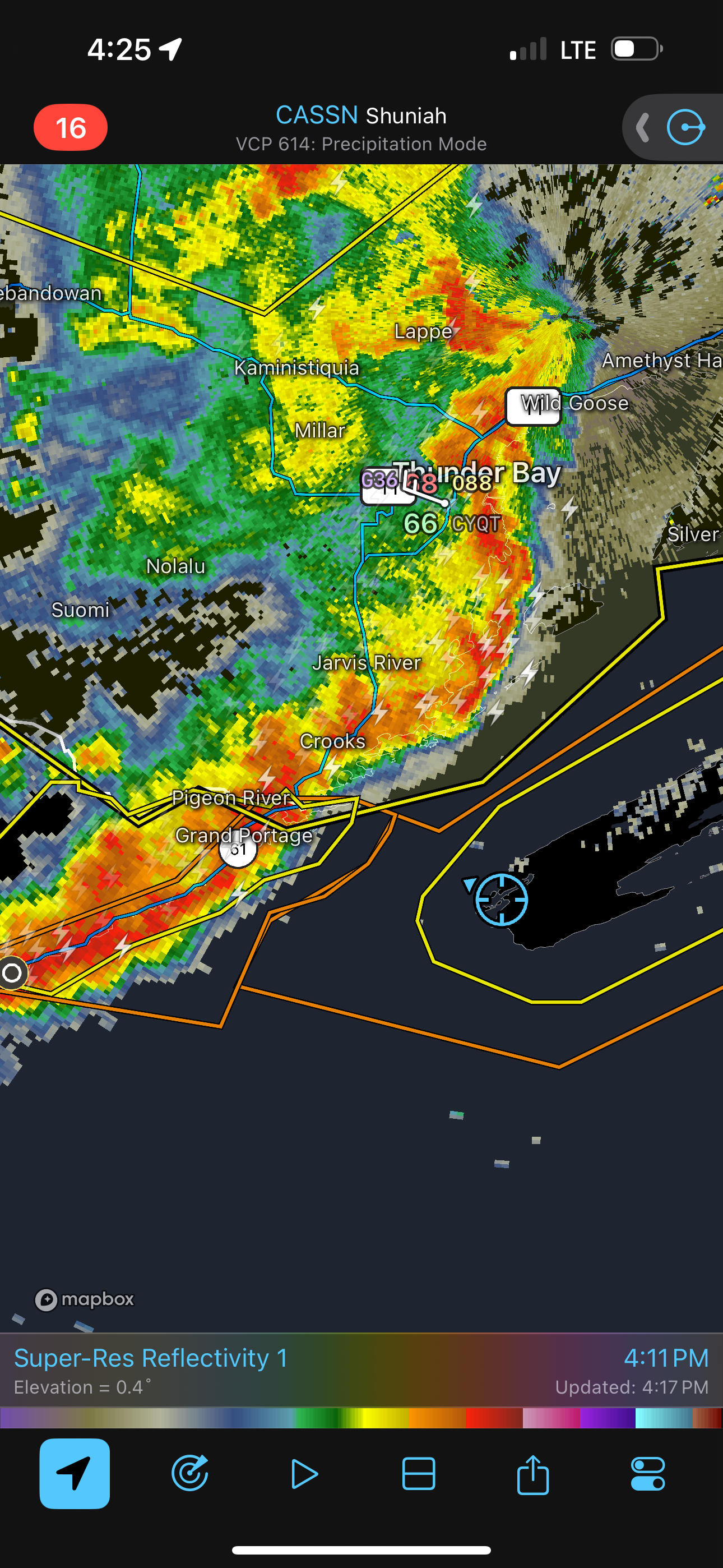 |
| Radar image of the storms as they approached Isle Royale. |
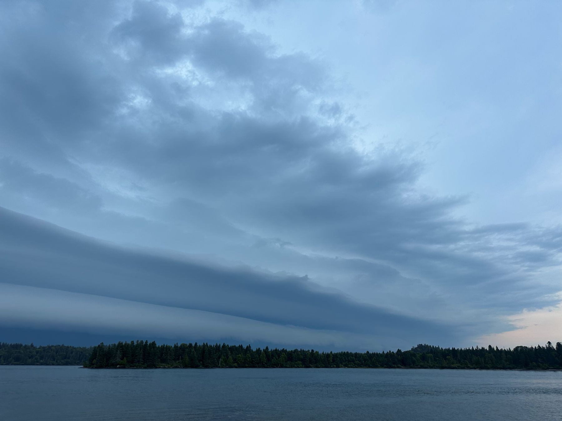 |
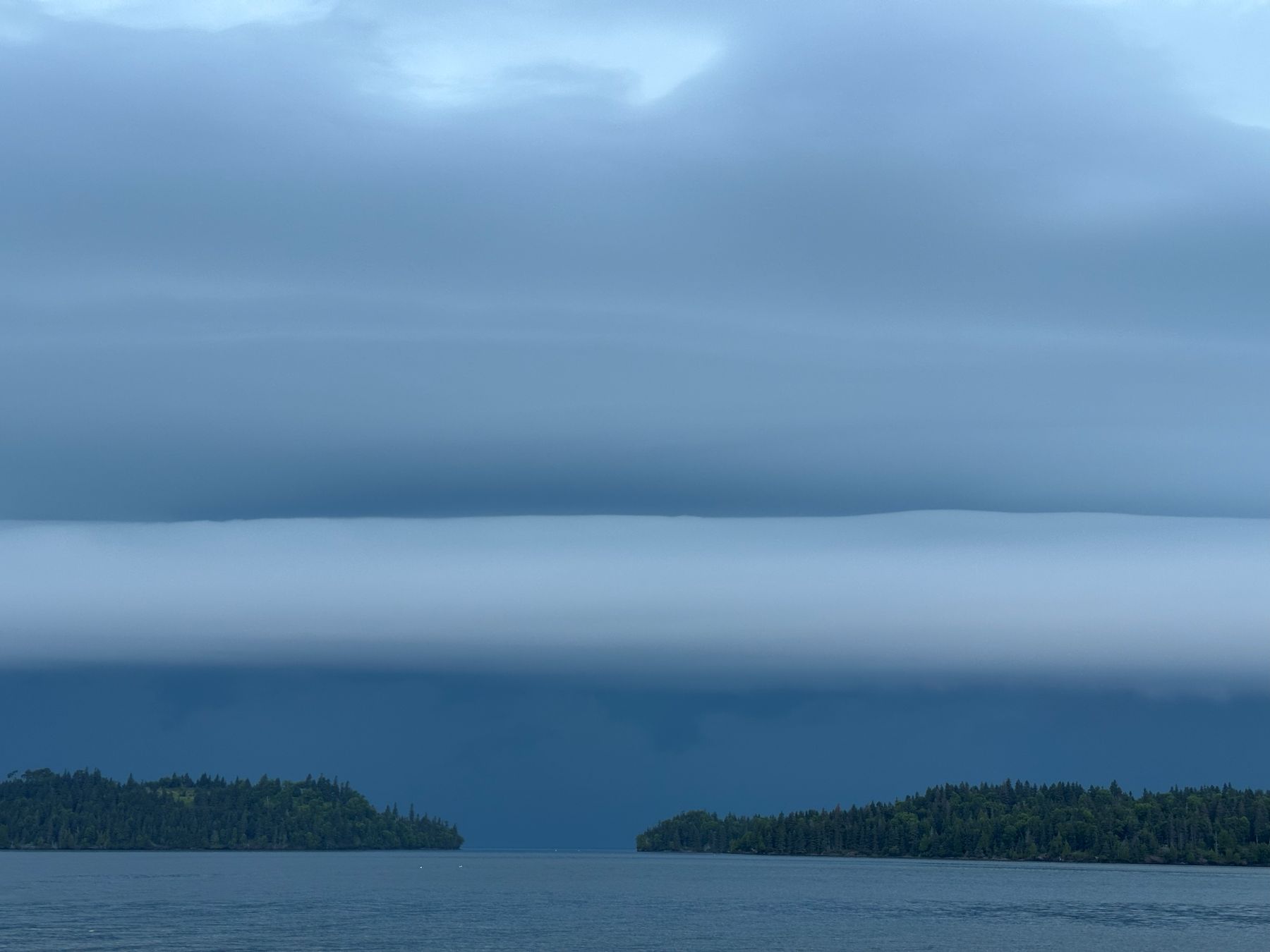
| A shelf cloud approaches. |
 |
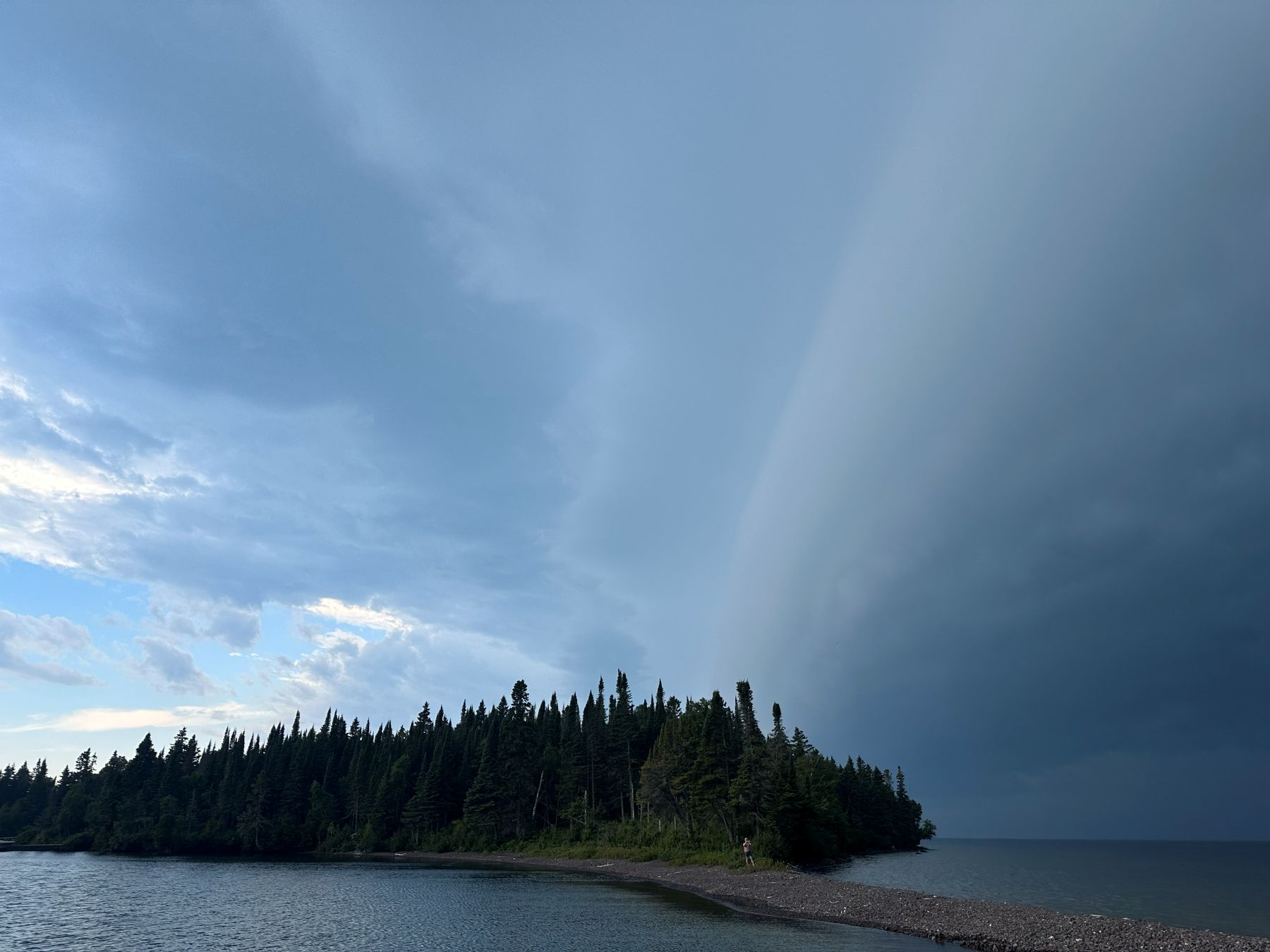
| Looking north toward Canada. |
 |
| Looking west-northwest. |
 |
| Looking north toward Canada. |
 |
| Looking west-northwest. |
 |
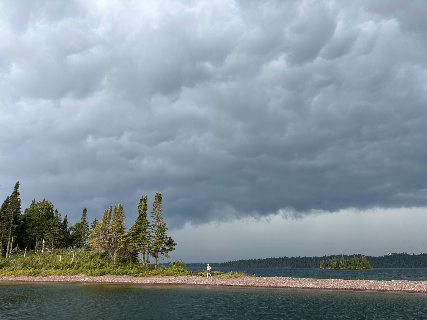
| Looking north-northwest. |
 |
| Looking northwest. |
 |
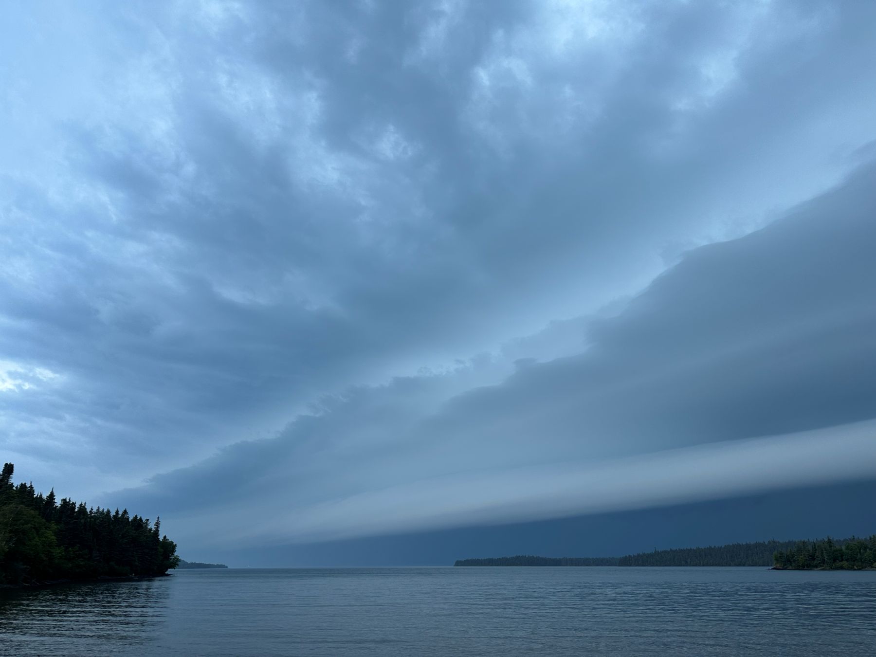
| Shelf cloud, looking west-northwest. |
 |
| Shelf cloud, looking northeast. |
 |
| Shelf cloud, looking northwest. |
 |
| Shelf cloud, looking west. |
 |
| The leading edge of the shelf cloud is now overhead. |
 |
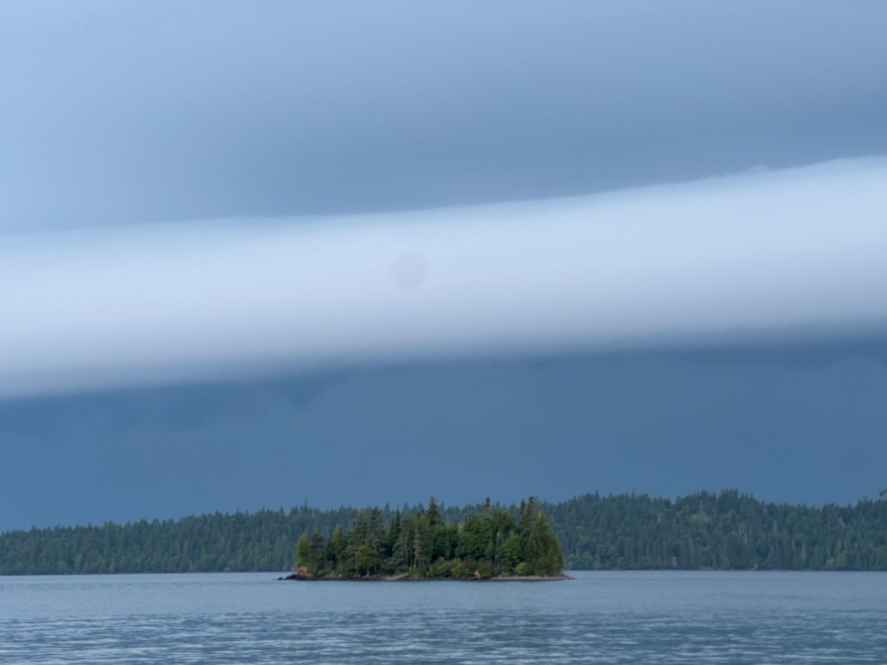
| The underside of the shelf cloud, looking west. |
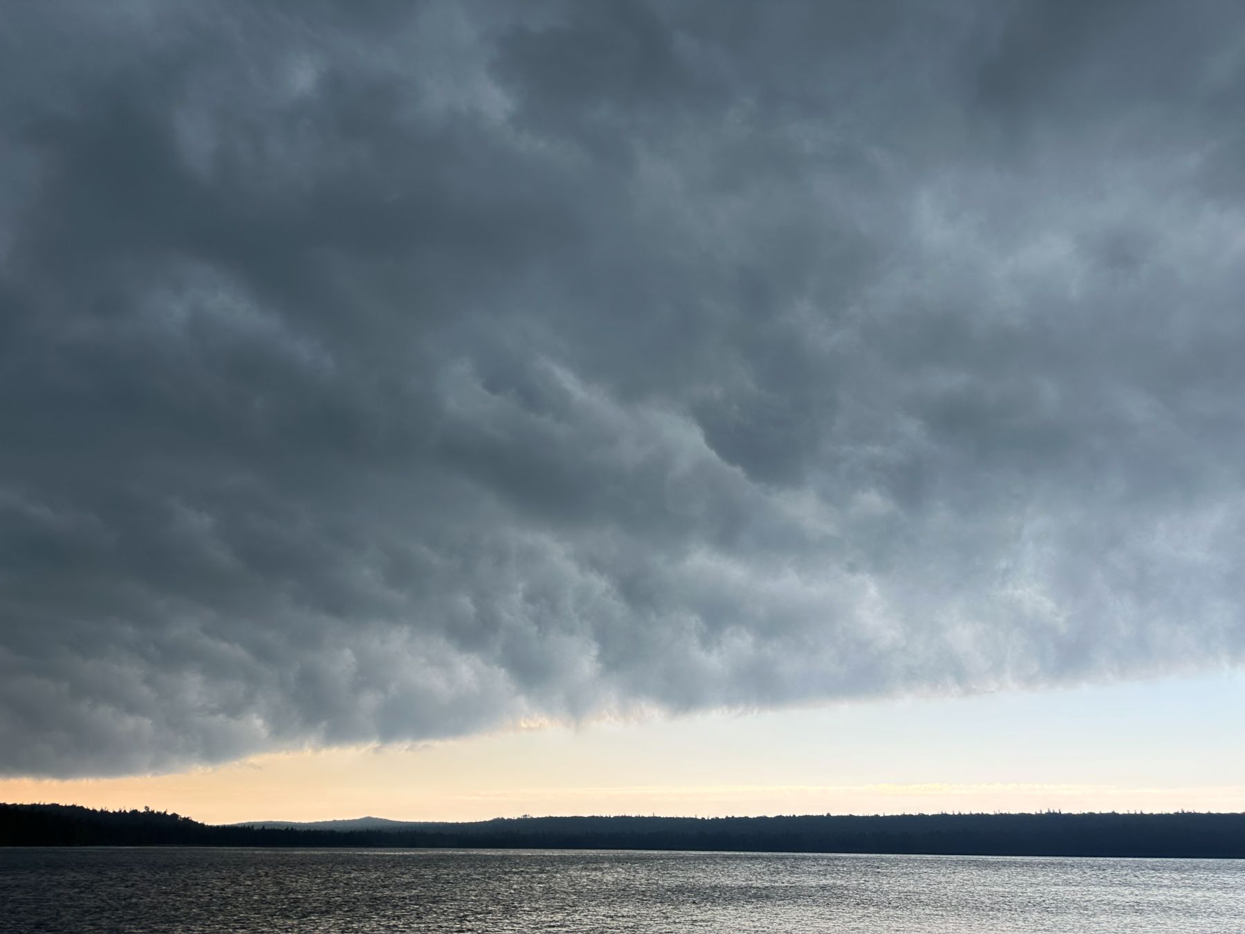 |
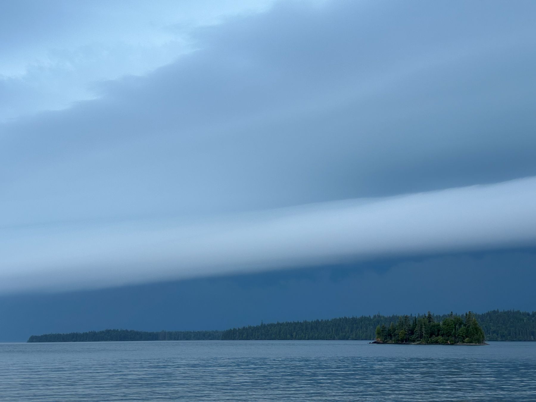
| The underside of the shelf cloud, looking east. |
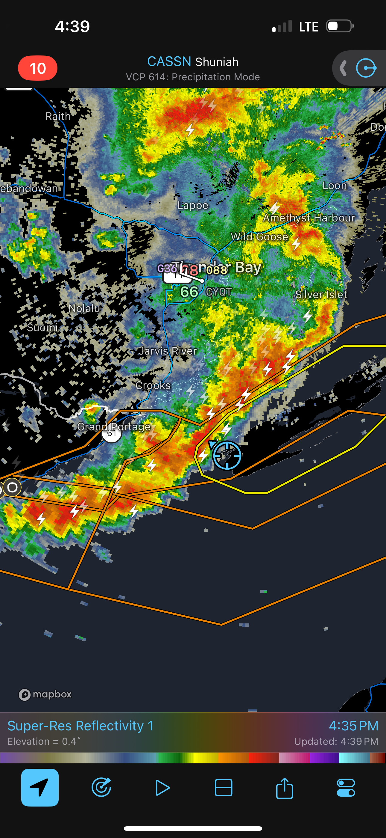 |
| Radar image. |
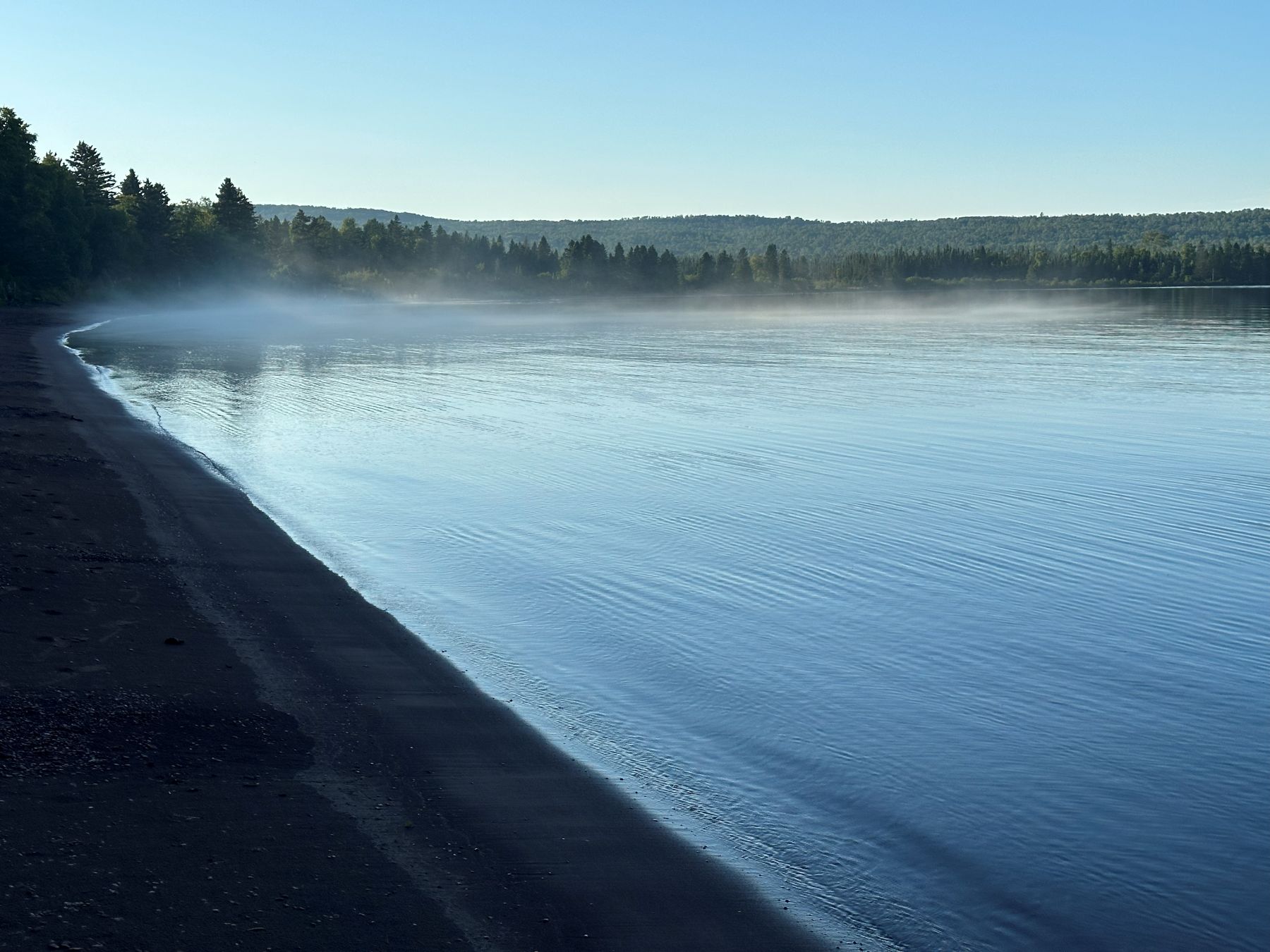 |
| High water marks on the west side of Siskiwit Bay showing evidence of a seiche. |
Back to Storm Chases | Home