July 10, 2025 Storms
Central/Eastern Nebraska
The second to last day of Tempest's 2025 season. We had an enhanced risk of severe storms over northeastern Nebraska and western Iowa, accompanied by a 5% risk area for tornadoes. Tempest's founder, Martin Lisius, was out chasing today and visiting the family farm, so he met us in the evening for dinner.
Today was also my parents' 60th wedding anniversary! I gave them a call to say congratulations!
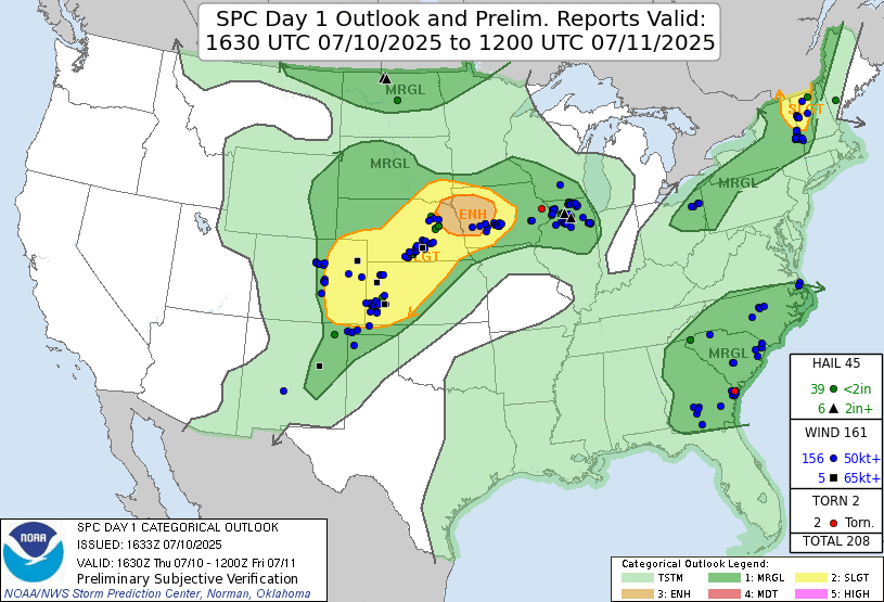 |
| Storm Prediction Center 1630 UTC Day 1 convective outlook with verification. |
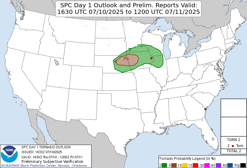 |
| Storm Prediction Center 1630 UTC Day 1 tornado outlook with verification. |
 |
| Convection-allowing models showed the population of supercells near the Iowa/Nebraska border. |
To get to the target area, we just needed to drive southward into northeastern Nebraska, and we would be in pretty good shape. We started by driving to O'Neill. We got there with time to spare, so we spent some time in a neighborhood park. I demonstrated the concept of vorticity stretching on some of the spinning playground equipment. This provided some entertainment for the guests.
We had some lunch in O'Neill, but atmospheric conditions seemed a little too stable for surface-based storms there, so we drove southward toward Elgin, closer to the warm front and in higher dewpoint air. While we were there, towering cumulus developed all around us, so we seemed to be in a great spot.
 |
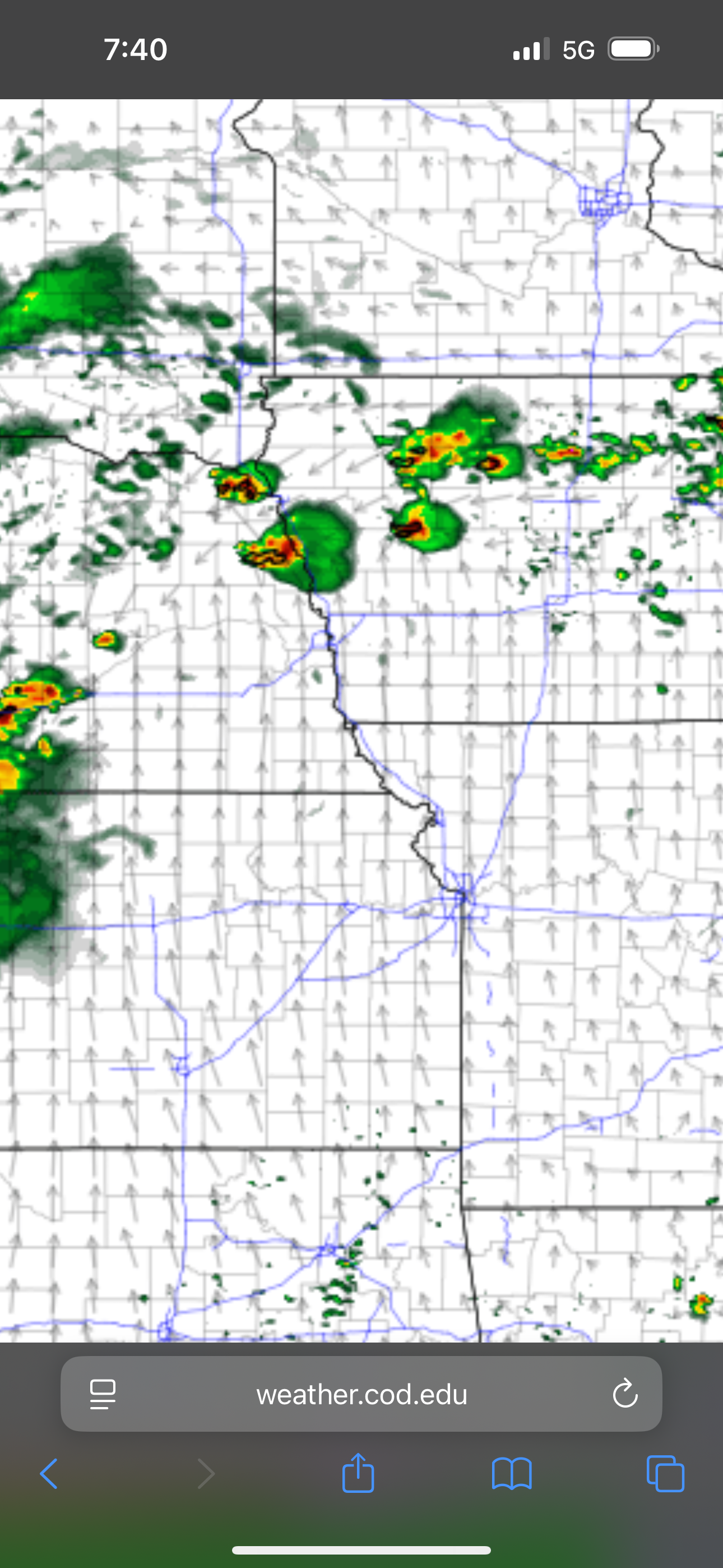
| Afternoon radar image before initiation. Morning storms were heading east, and a new mesoscale discussion was issued. |
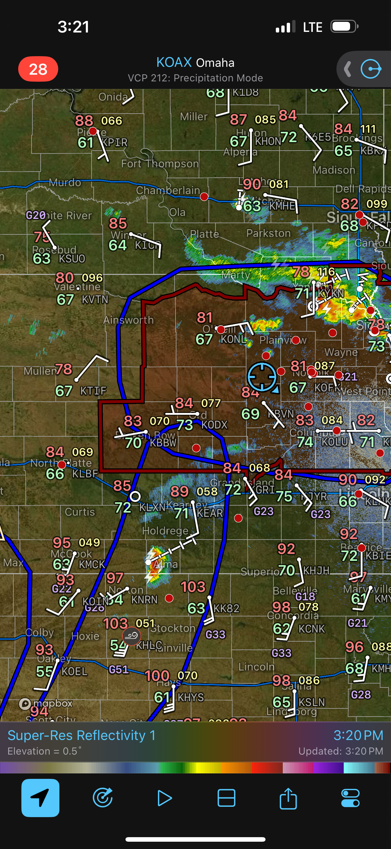 |
| Soon, we were in a tornado watch, and we appeared to be in great position. |
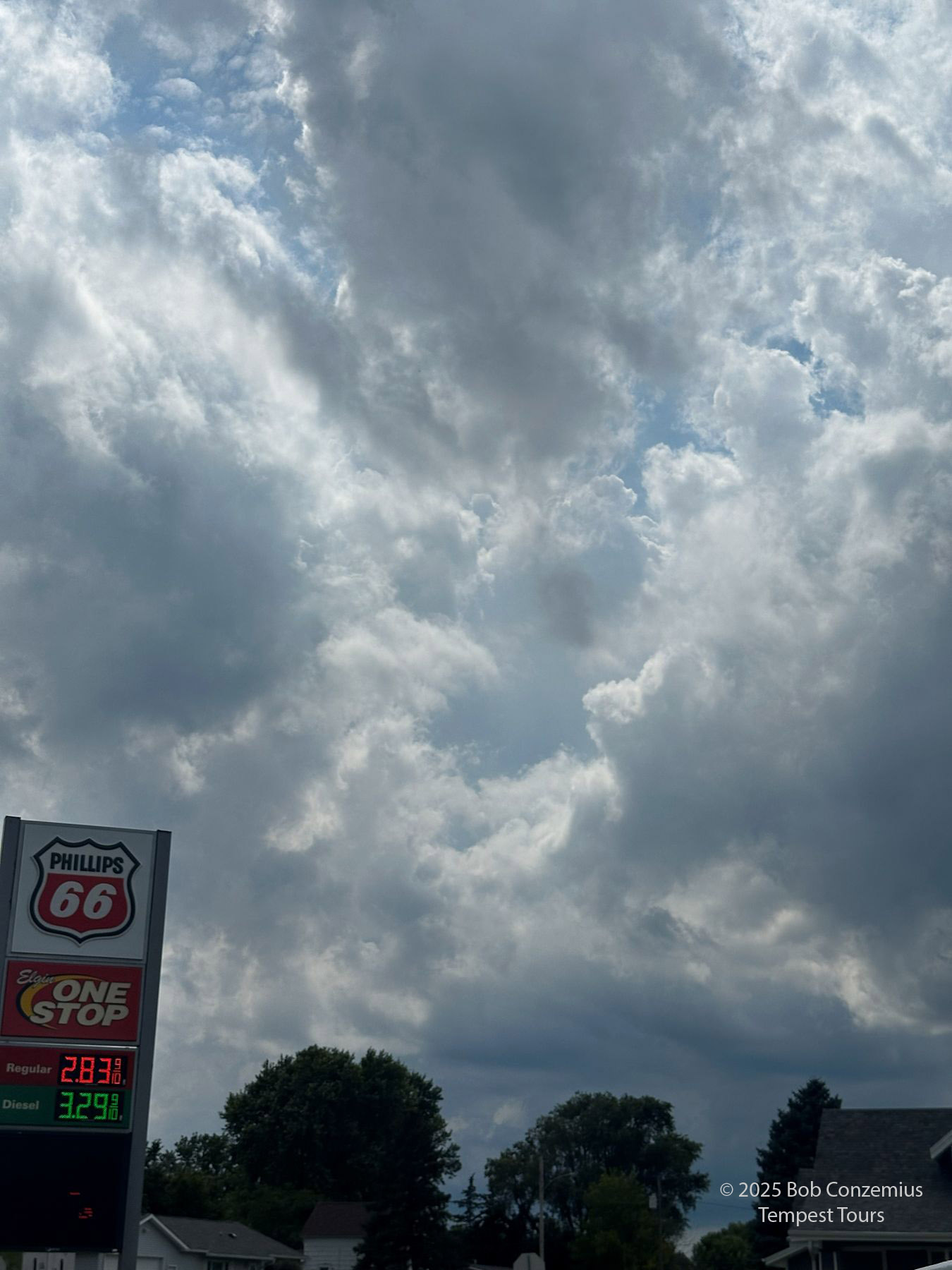 |
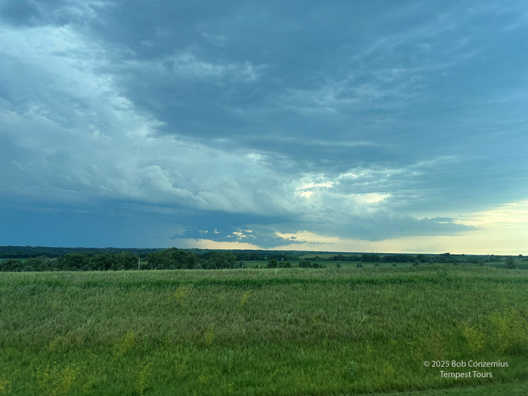
| Towering cumulus were developing all around us in Elgin, NE. |
 |
| Still in Elgin at 3:36 PM, the cumulus are getting larger. |
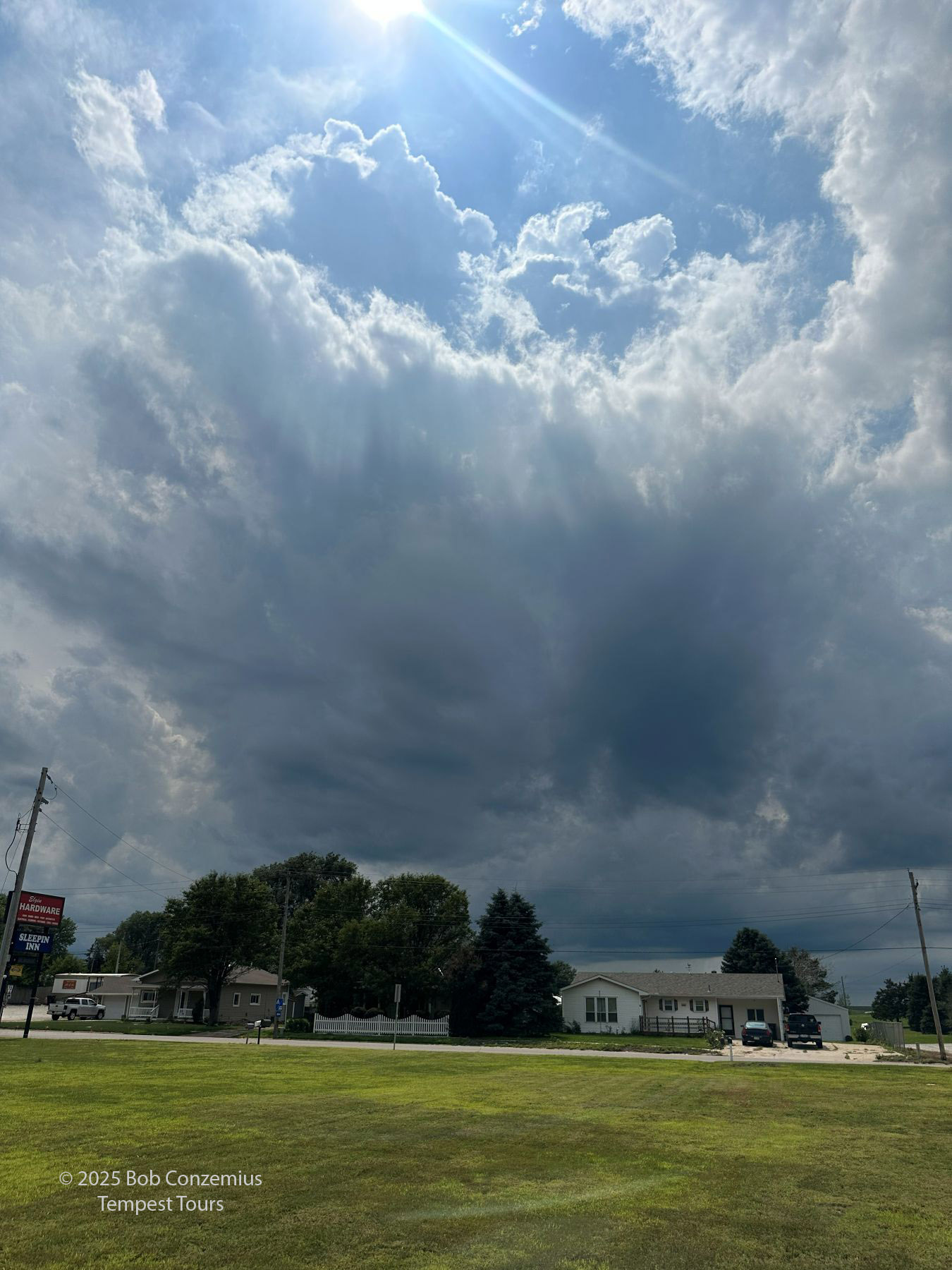
While we waited in Elgin, any new storms the developed seem to cross north of the warm front and get into air that was a little too stable at low levels. Regarding overall supercell definitions, these storms were probably the best of the day, but things were too stable at low levels. I did see a couple pictures from other chasers, and there was a bit of interesting low-level structure. I wanted something more clearly surface-based. We opted to go south.
 |
| The storms to the north seemed to be in too stable low-level conditions, so we opted for southern storms. |
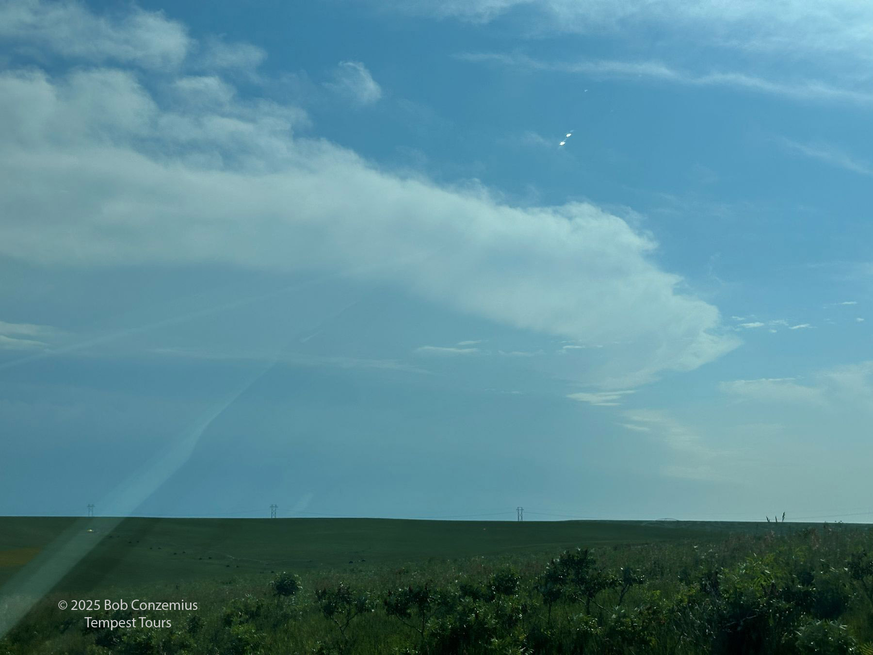
The southward option would mean we would be in an environment of less low-level shear, and it wasn't clear we'd get supercells. We would still see surface-based storms. We found ourselves chasing in the vicinity of Aurora and Grand Island in Nebraska.
 |
| This is what the storms looked like as we approached from the north near Fullerton. |
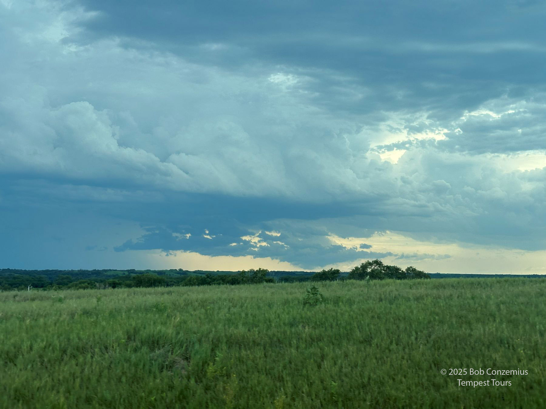 |
| A somewhat ragged appearance near Fullerton, NE, but the storms were healthy. |
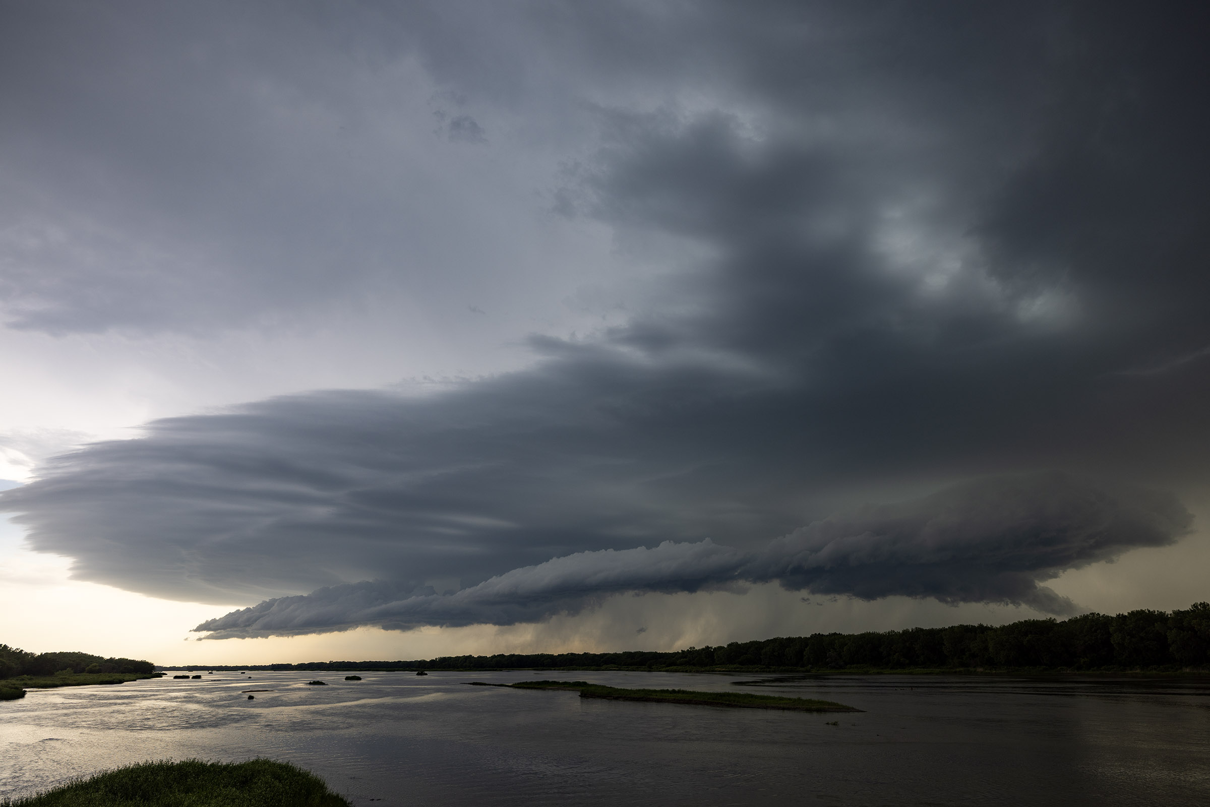
We took a quick pit stop in Central City to get ready for our forward flank chase mode. We then dropped south to Marquette, went west and zig-zagged southwest along the southeast side of the Platte River. We crossed the river briefly on Highway 34 just east of Grand Island, but we quickly got chased back east. I took most of my good pictures during this part of the chase, and this is when we had the best structure.
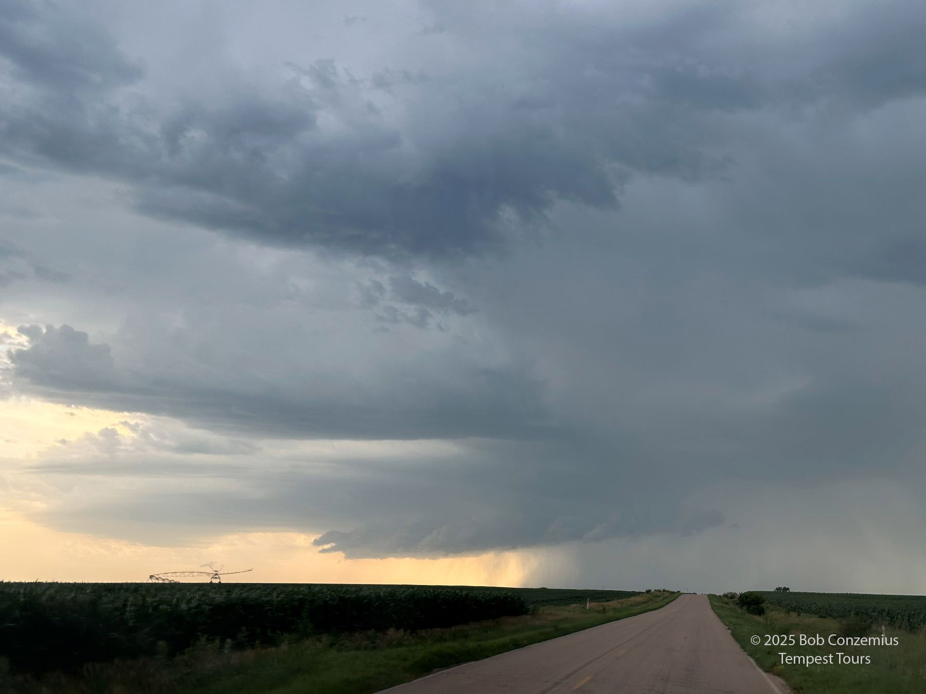 |
| We get around to the front side, and there's some better structure to see, just west of Marquette, NE. |
 |
| Between Marquette and Grand Island at 6:06 PM, the storm had a nice shelf cloud. |
 |
| Getting chased back east across the Platte River. |
At this point, we had already had our best structure of the day. The storms got a bit more linear, and their appearance was less impressive than earlier. Some cells were still getting warned, but nothing was particularly strong or visually dramatic. We chased a bit longer then decided to call it a day. We were close to Hastings, and we had stayed their a year or two ago at a very interesting motel, the Dragonfly Inn and Suites. We booked rooms there, then looked for a place to have dinner. Outside our restaurant, we came across a guy known as "Moonshine Mark". I cannot remember, for sure, if his name was Mark, but he insisted that we drink his moonshine. He invited-- or demanded-- that I take a swig, so I tried it. It tasted pretty much like pure ethanol. A couple of the guests got pictures of me drinking it. I tried to piece this story together a bit further. I assumed he must have been an employee at the local ethanol plant and occasionally brought a jar to work that he filled up. He gave this gallon jar to us, but unless we drank it all in the next night or two (accompanied by the near-death experience of drinking so much alcohol), we really couldn't use it. We all had flights out of Denver and could not bring that flammable stuff on the plane. I ended up regifting it to Martin's family members when we did a farm tour the next morning.
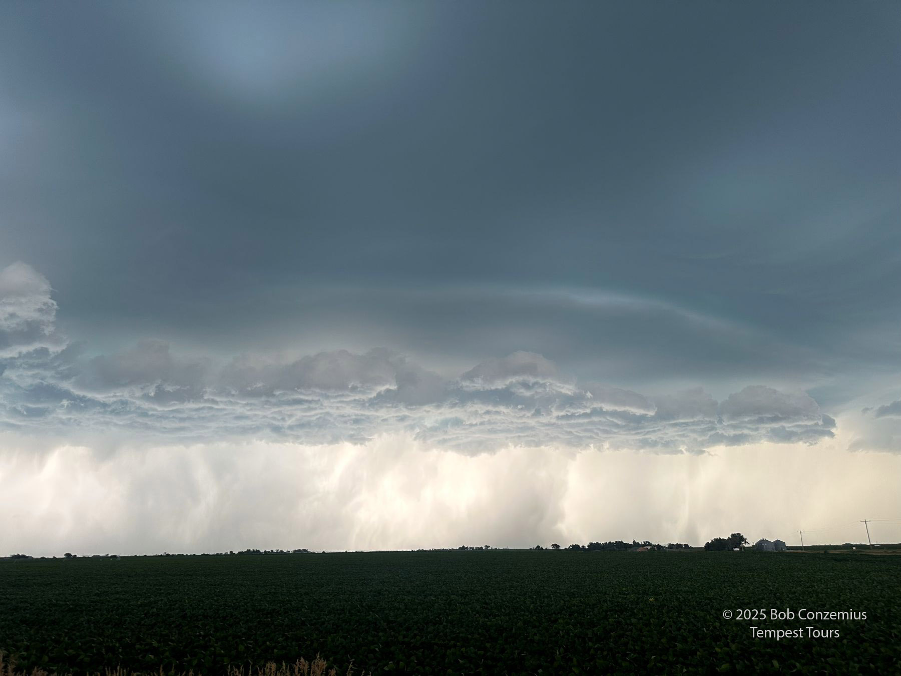 |
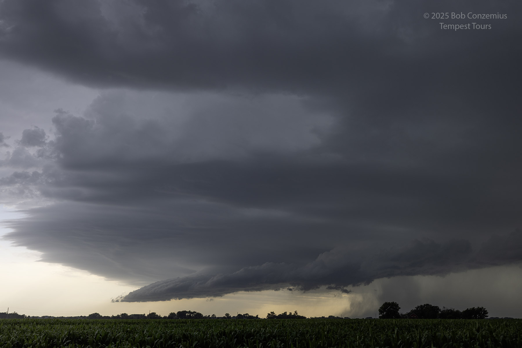
| On Nebraska Highway 14, just west of Stockham. |
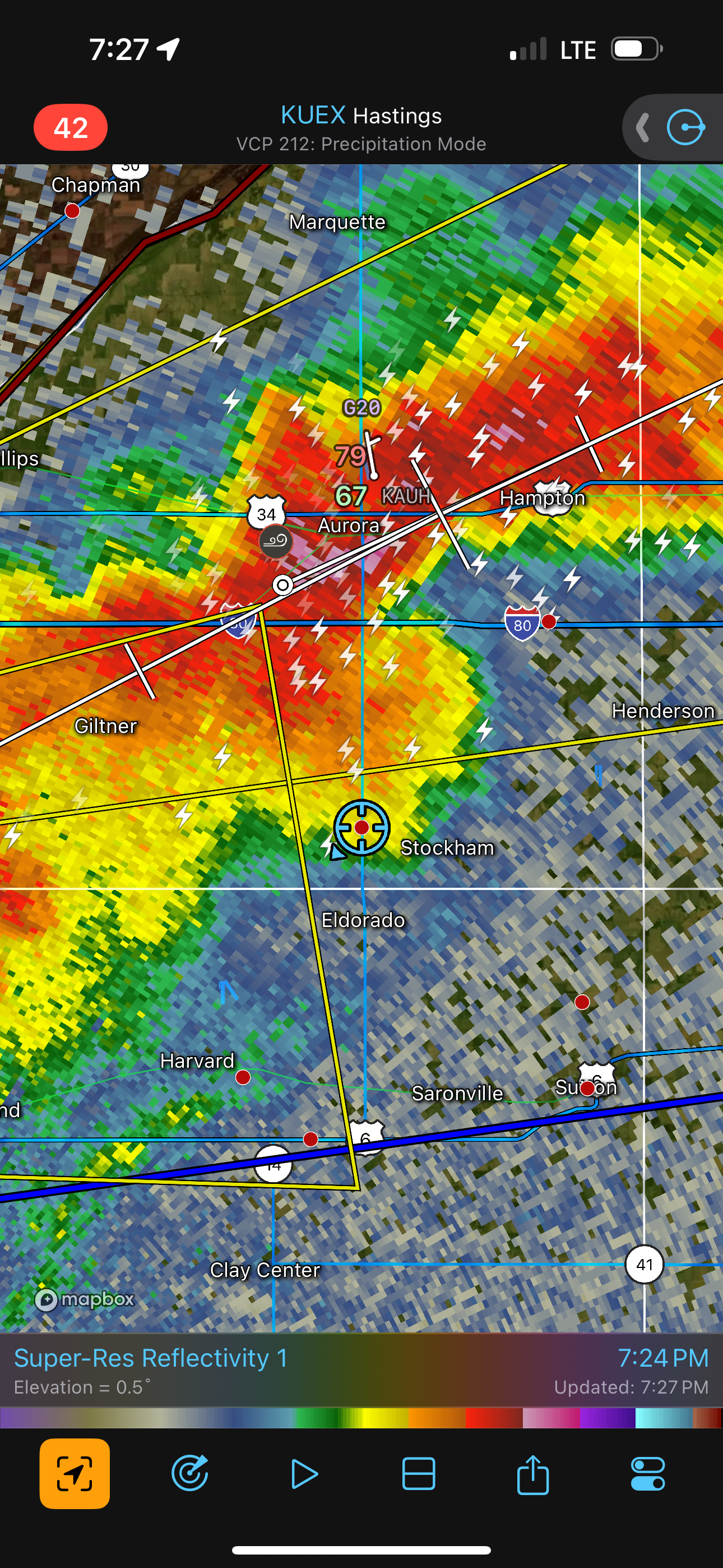 |
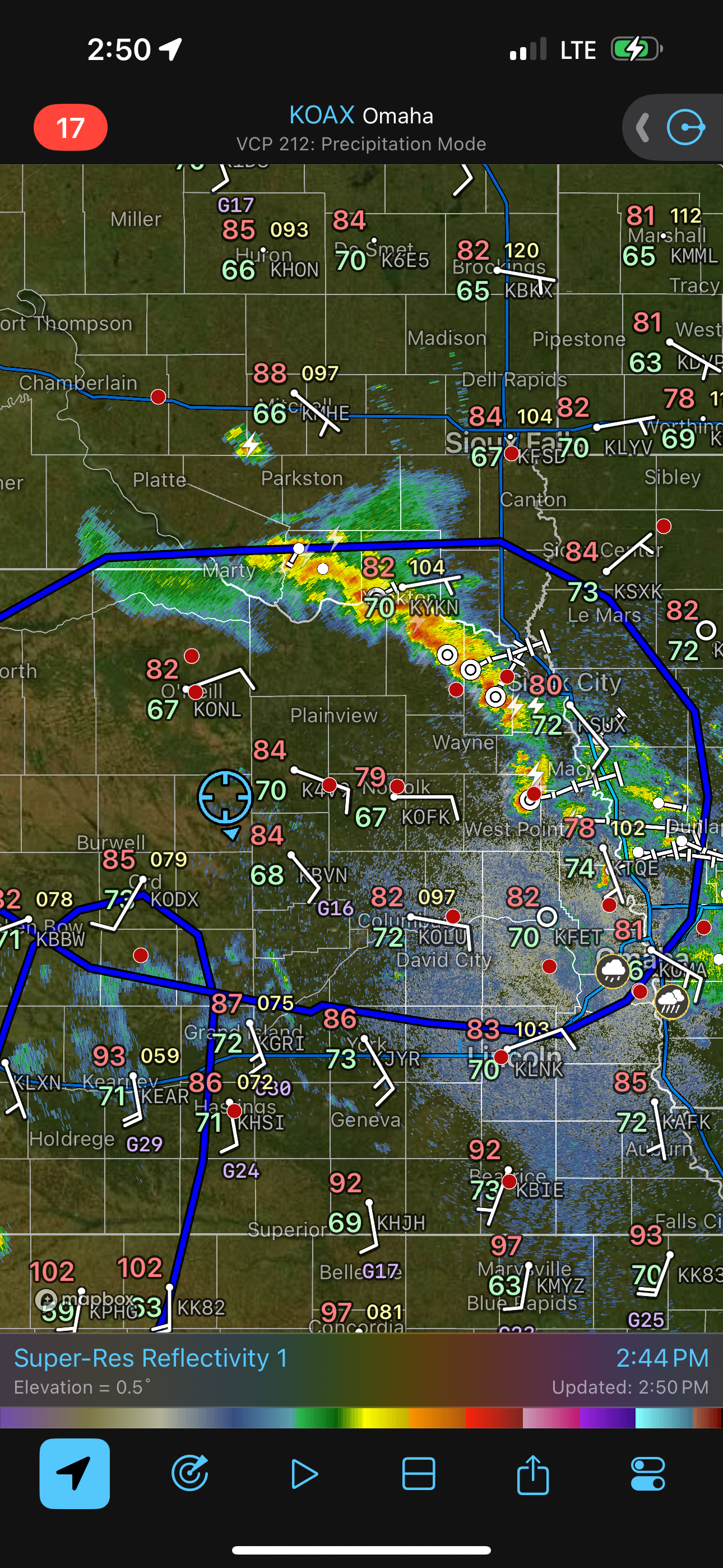
| Radar image corresponding to the image above. |
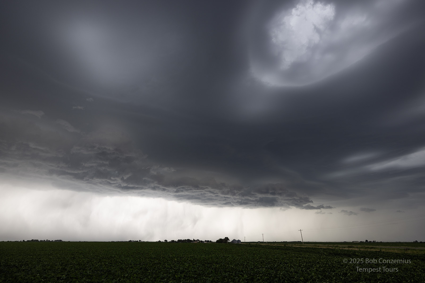 |
| Same scene, capture with the Canon R5. |
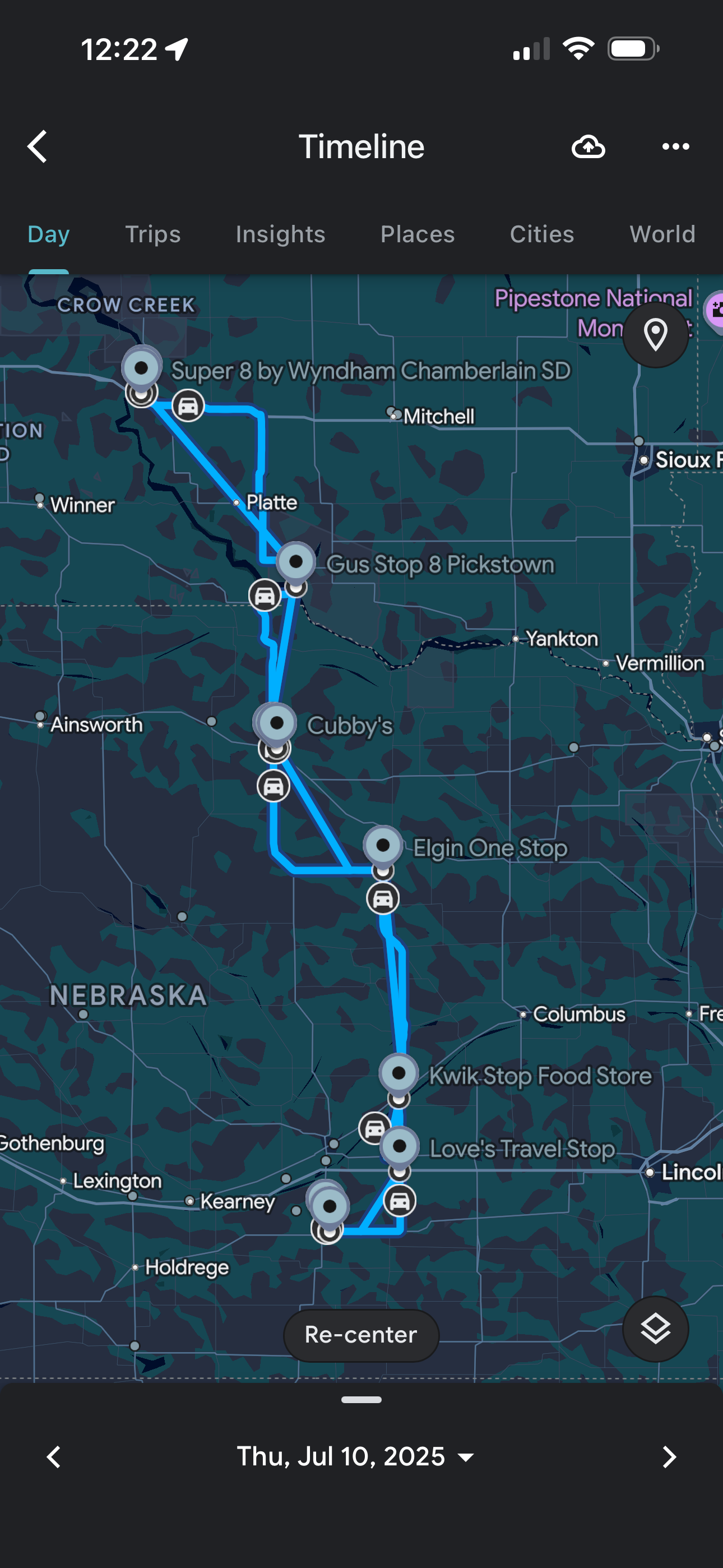 |
| This is the route we took. |
Back to Storm Chases | Home