July 9, 2025 Severe Storms
South Dakota
We chased several severe storms in South Dakota today, spanning a good portion of the state. The Storm Prediction Center had an enhanced risk over central South Dakota but only a two percent tornado risk. I was hoping for some discrete supercells.
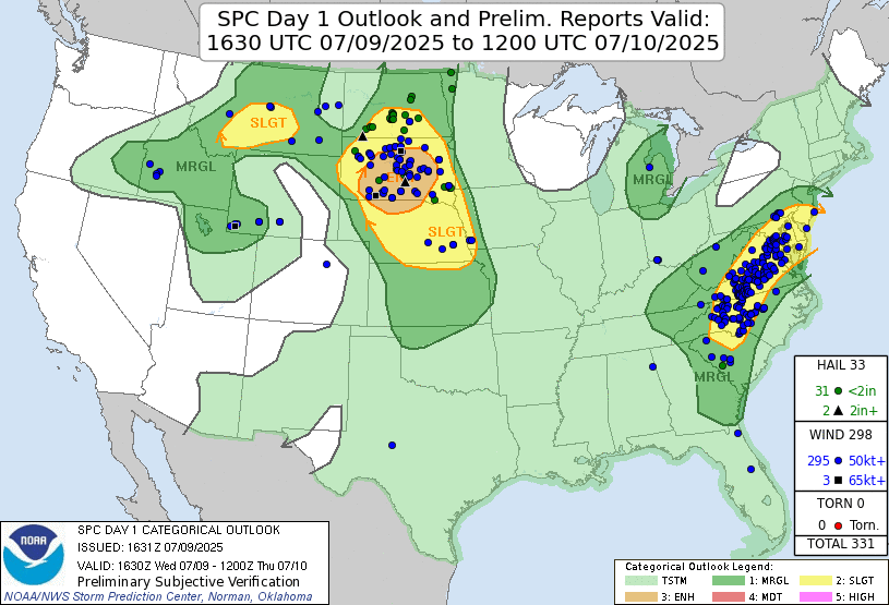 |
| Storm Prediction Center 1630 UTC Day 1 convective outlook with verification. |
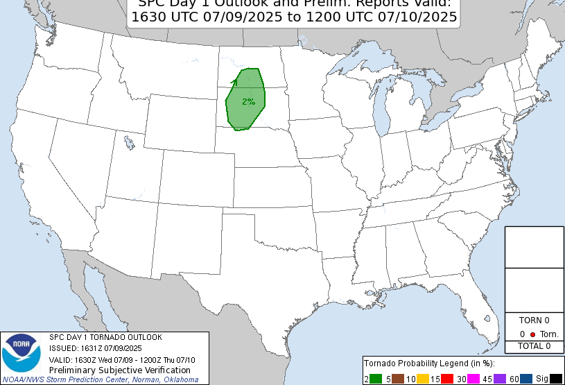 |
| Storm Prediction Center 1630 UTC Day 1 tornado outlook with verification. |
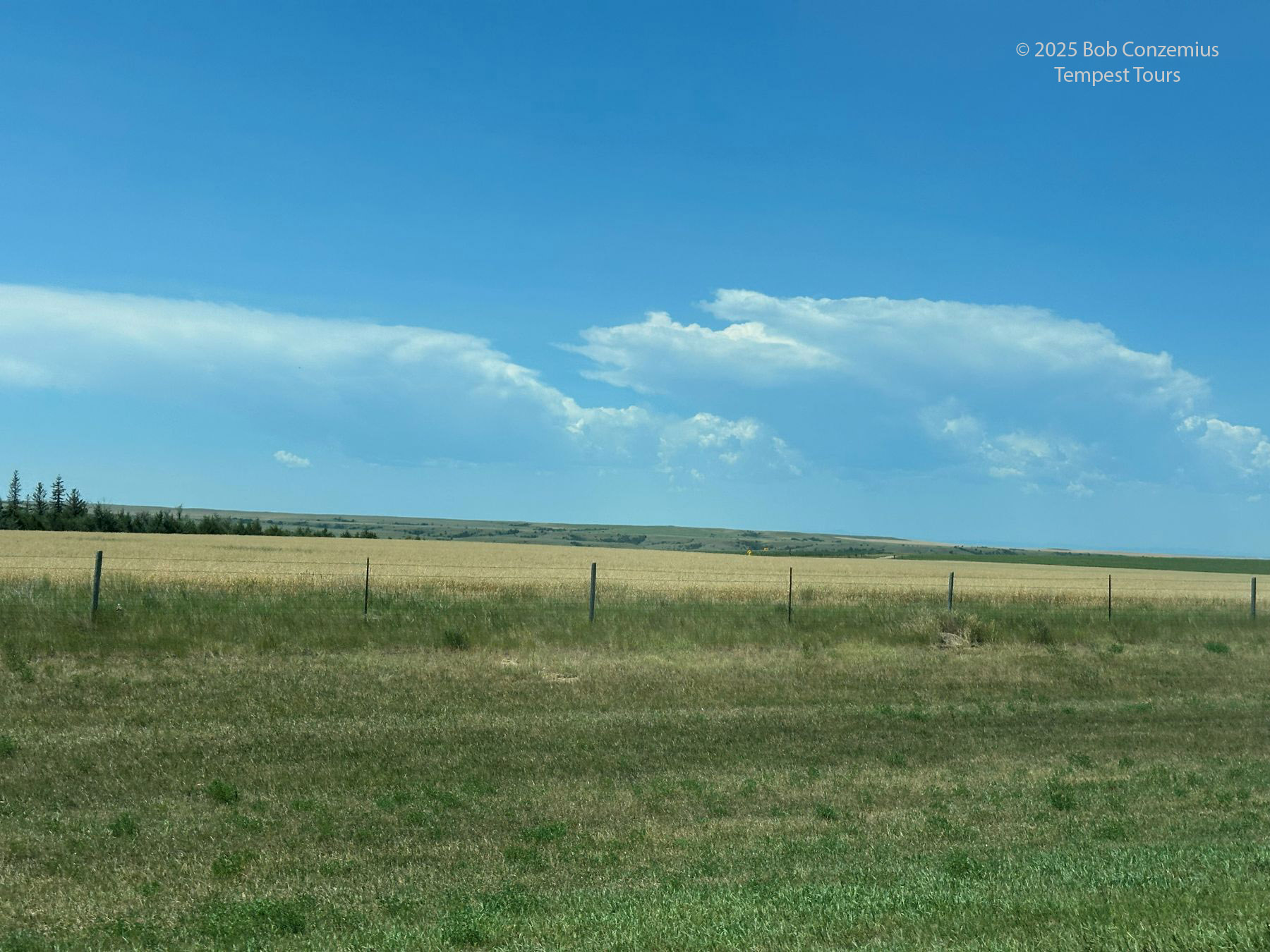
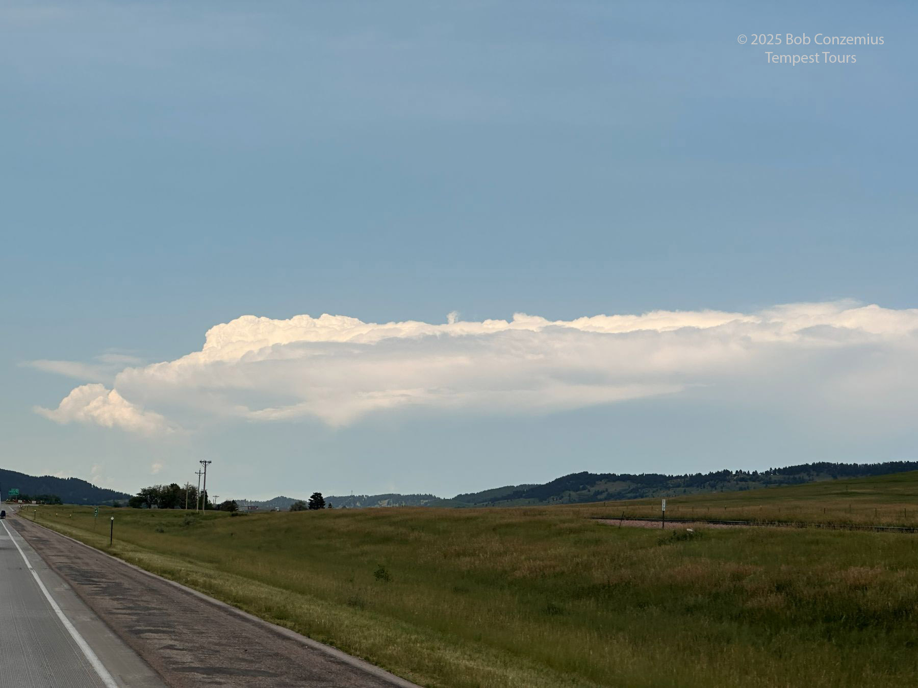
We began the day in Chadron, and the first task of the day was to drive into South Dakota to where we thought the storms would develop. That's usually somewhere around the Black Hills. When we got to the Rapid City area, we drove east on I-90 toward Wall to stay in front of early storms that had developed around the Black Hills. There was one area to our south as well as small storms to the northwest. The ones to the south were obviously high-based, and as we drove east, we realized they really weren't very interesting.
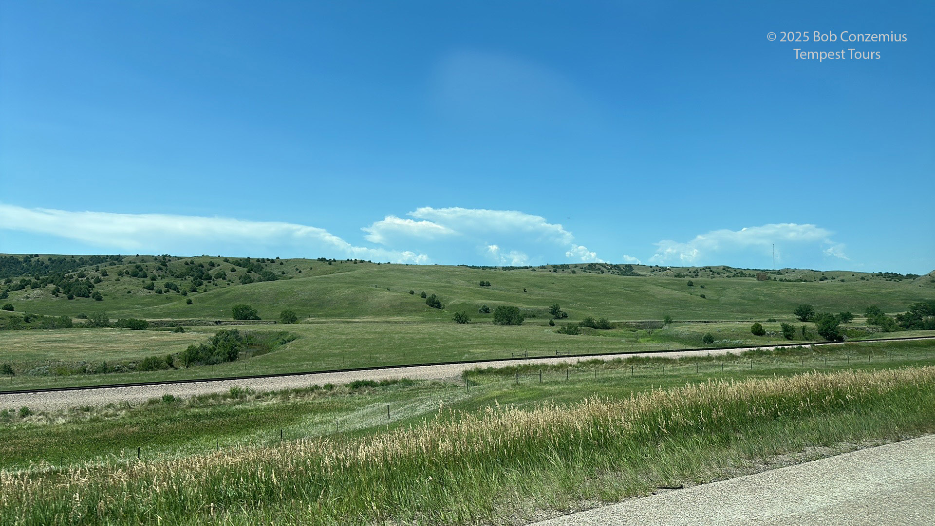 |
| Small, high-based storms develop south and southeast of the Black Hills in South Dakota. |
 |
| These storms were really high-based. Time to stop for lunch. |
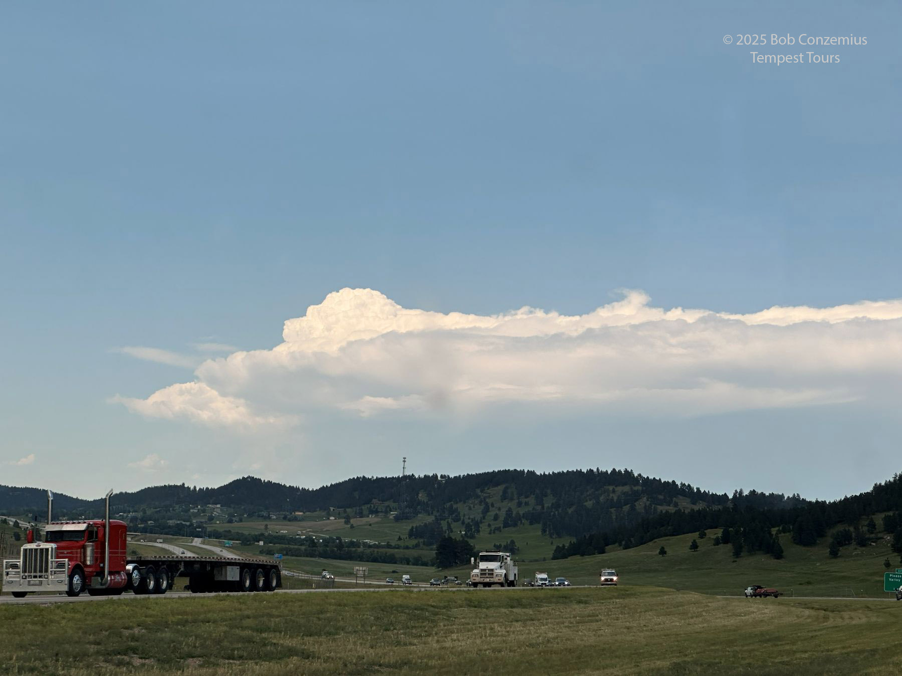
We found ourselves, at lunchtime, about an hour east of Rapid City without any nearby lunch stops... except for Wall. Gosh, it can take an eternity to get in and out of there because there are so many distractions. There are many stores to lure people in, and I worried everyone in our group would just start shopping. I said we needed to be focused. We should find a restaurant, order our meals right away, and then get out of there.
Surprisingly, this strategy worked. We were in and out of Wall in record time. Stopping for lunch gave us time for the convective scenario to sort itself out. When we got out of Wall, the storms coming out of the northern Black Hills were looking a lot better than those to the south. That meant we had to retrace our steps back to Rapid City (I really don't like to turn around and go back in the opposite direction) and then continue northwest until we met our target storm.
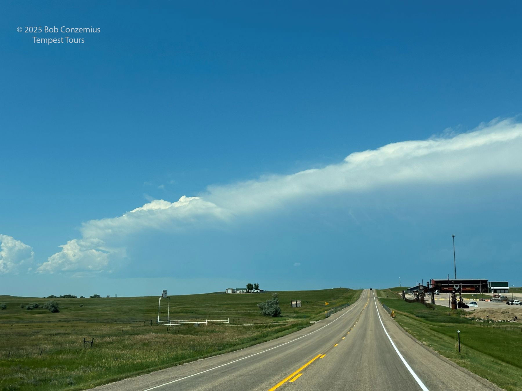
 |
| Storm northwest of the Black Hills with an overshooting top. |
 |
| The overshooting top persists. This must be a supercell. |
 |
| I cannot wait to get to this storm. |
We got to Sturgis and took Highway 79 north towards Newell to meet our storm. The base emerged into view, and it looked somewhat similar to the bases on the southern storms. They were really high. The storms were also exhibiting a bit more of a multicellular appearance.
 |
| Target storms viewed from Highway 79 north of Sturgis. |
 |
| Highway 212 northeast of Newell. A bit more of the structure comes into view. |
 |
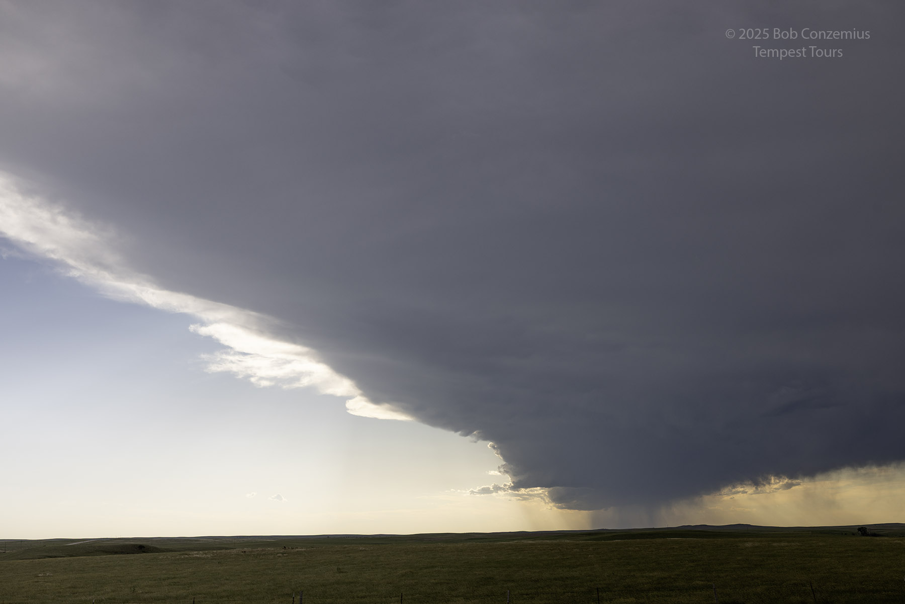
| A high-based shelf cloud is evident. |
 |
| Last cell phone image before we stop. |
I wanted to get closer to the storm before its transition to linear was complete, but other folks wanted to stop and take some pictures right away. We stopped and took pictures from a more distant view of the storm. This was fine because the structure was fully visible from here. When we got closer, the structure that was there really appeared to gust out, and we had a lot of virga around without any flat, dark bases.
 |
| We stopped on Highway 212 and took a few pictures. |
 |
| Tough to get ahead of this because it was oriented southwest-northeast along a southwest-northeast highway. This is where 212 turns more directly east. |
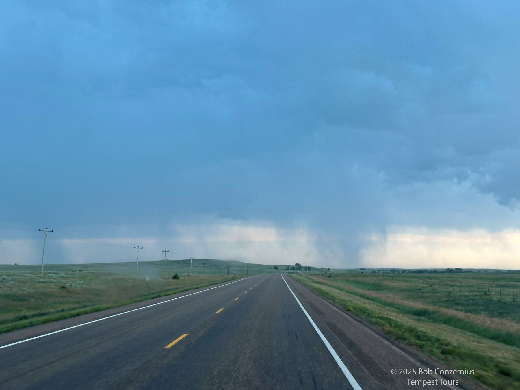 |
| Ahead of us is mostly virga. |
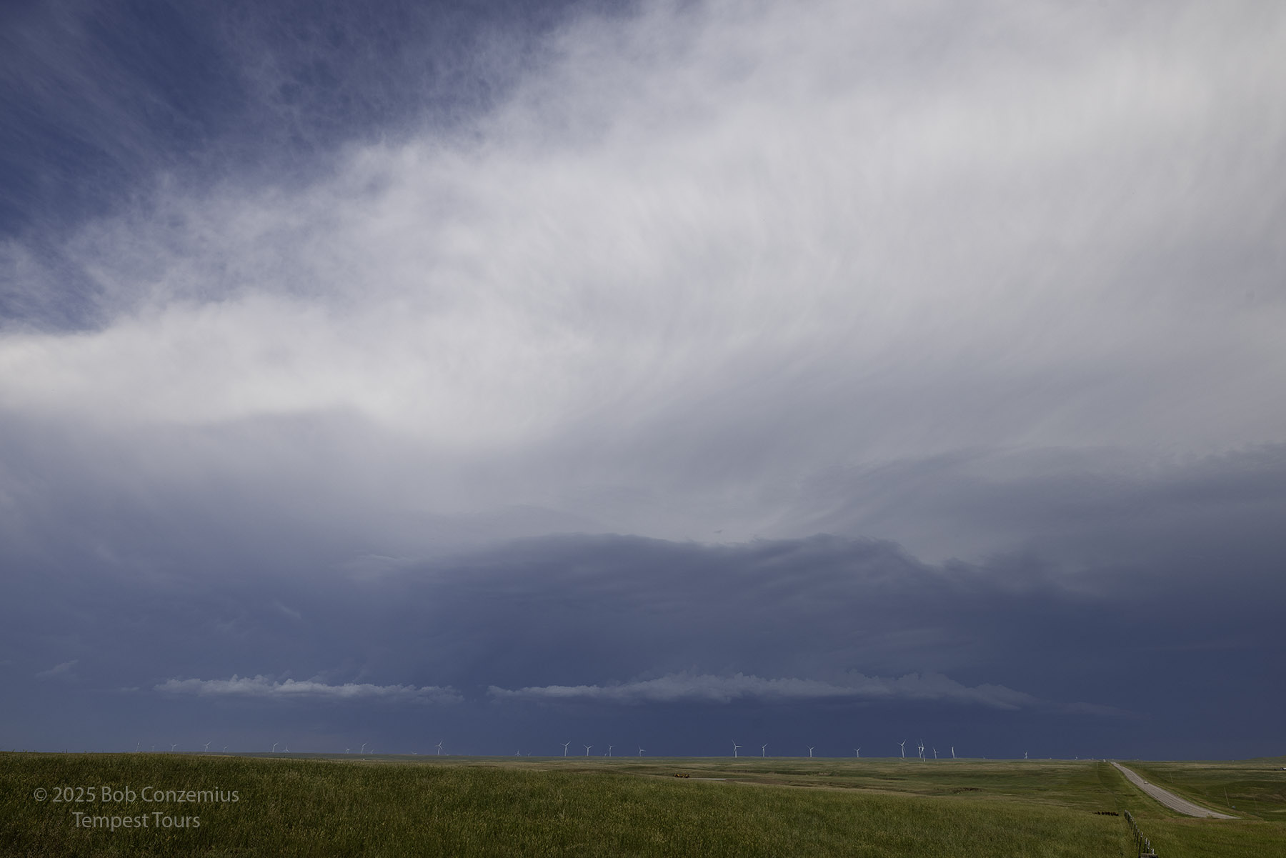
It became apparent to us that we would not find very good structure staying with our current strategy. Ahead, we could only see high-based activity and virga. There was nothing particularly interesting. Radar was now showing a cell on the western end of our line of storms becoming much stronger. We did a pit stop at Faith to top off the gas and get some snacks.
.
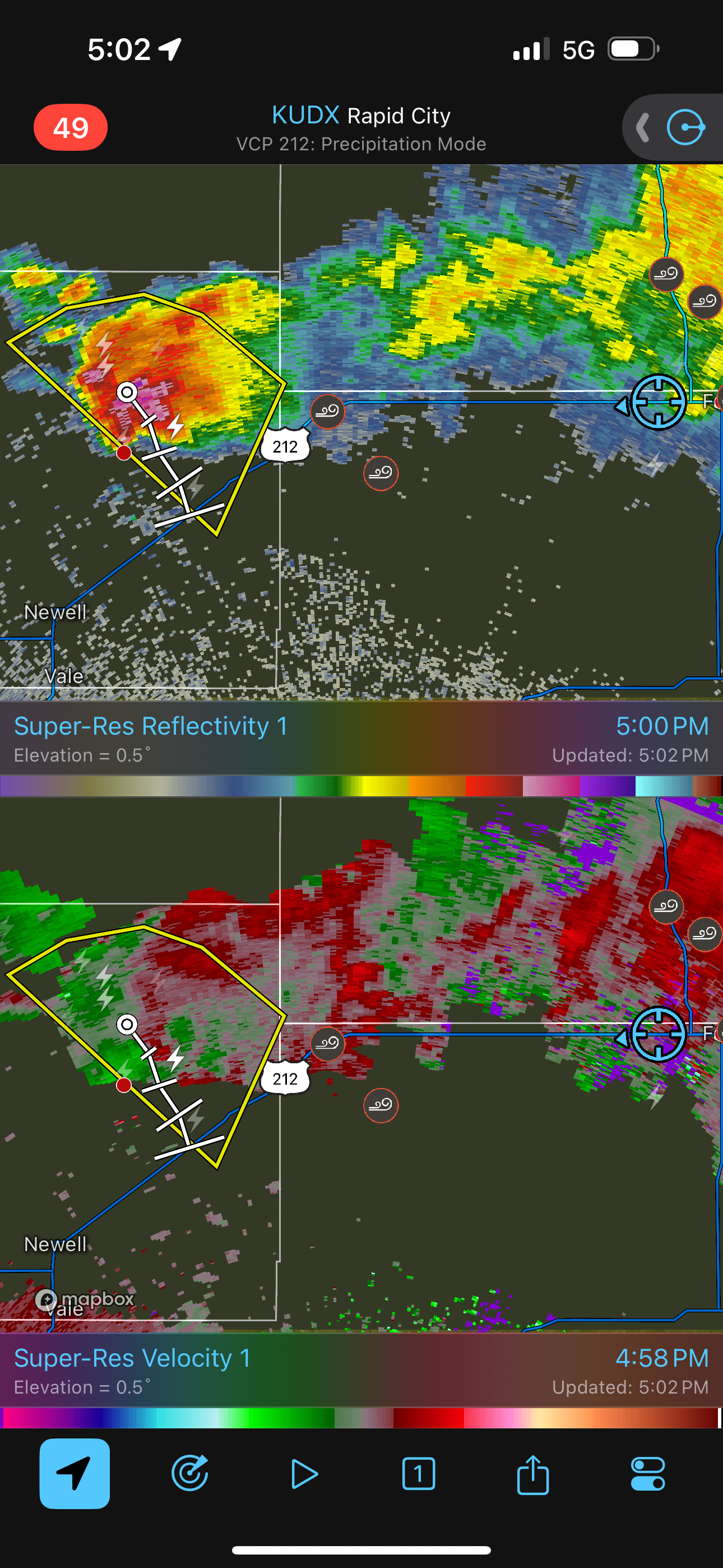 |
| Radar shows a storm back to the west intensifying. We should turn around again. |
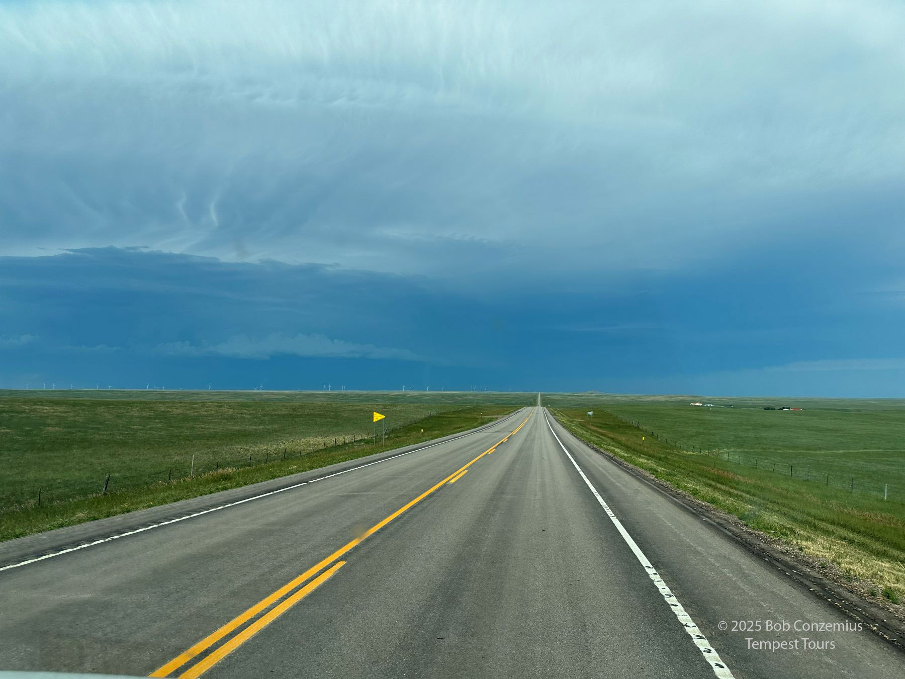
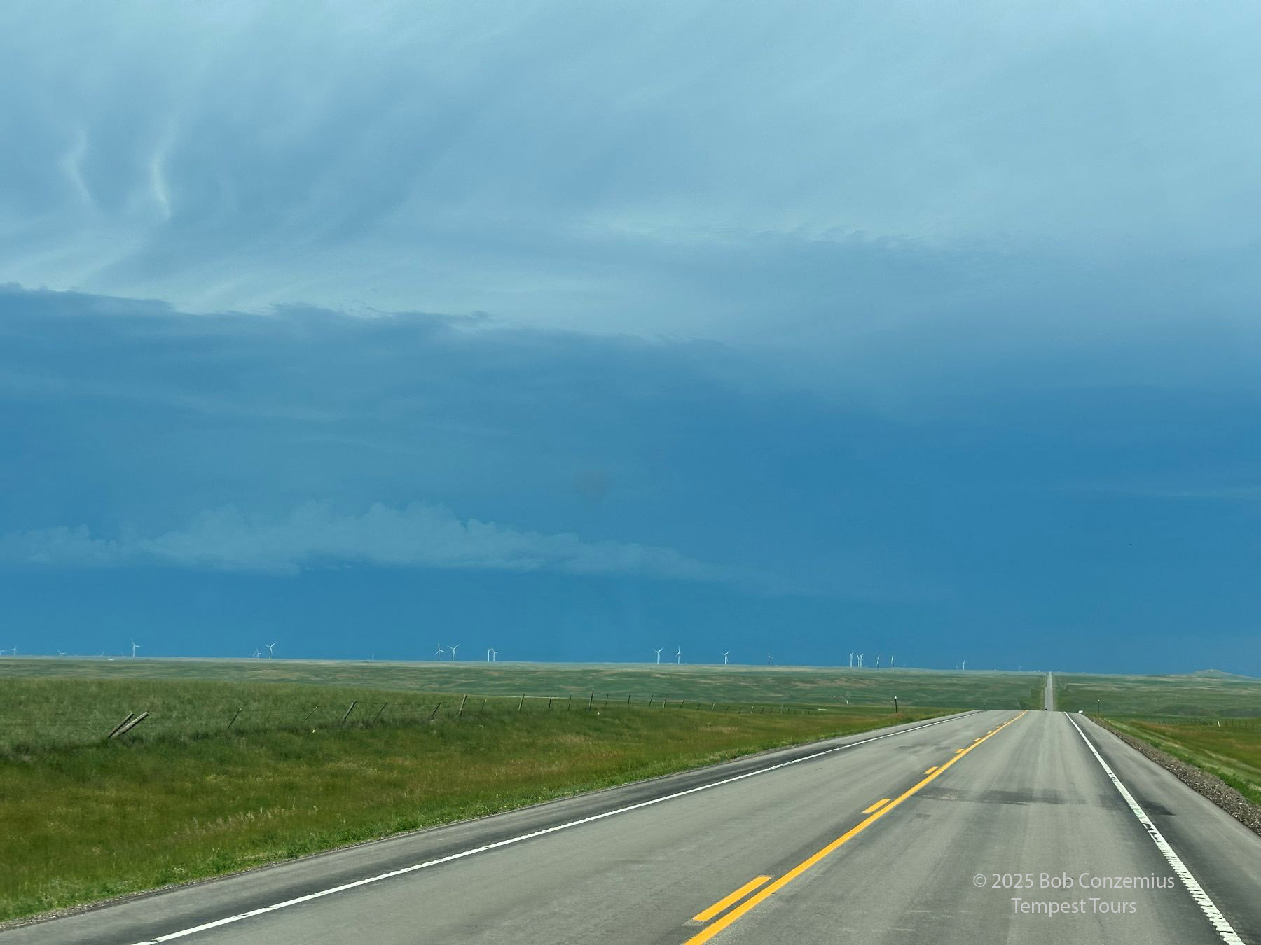
It was a long way back east to catch that new storm, and I wondered how much longer that cell would really hold together as it came off the higher terrain, given what happened to the storms we had already been chasing. There was not much else to target at this point, so I relented, and we started our second backtrack operation of the day. It was about 40 miles back to Mud Butte, but it felt longer, and we didn't really need to go the entire 40 miles.
 |
| Driving back west from Faith toward Mud Butte. |
 |
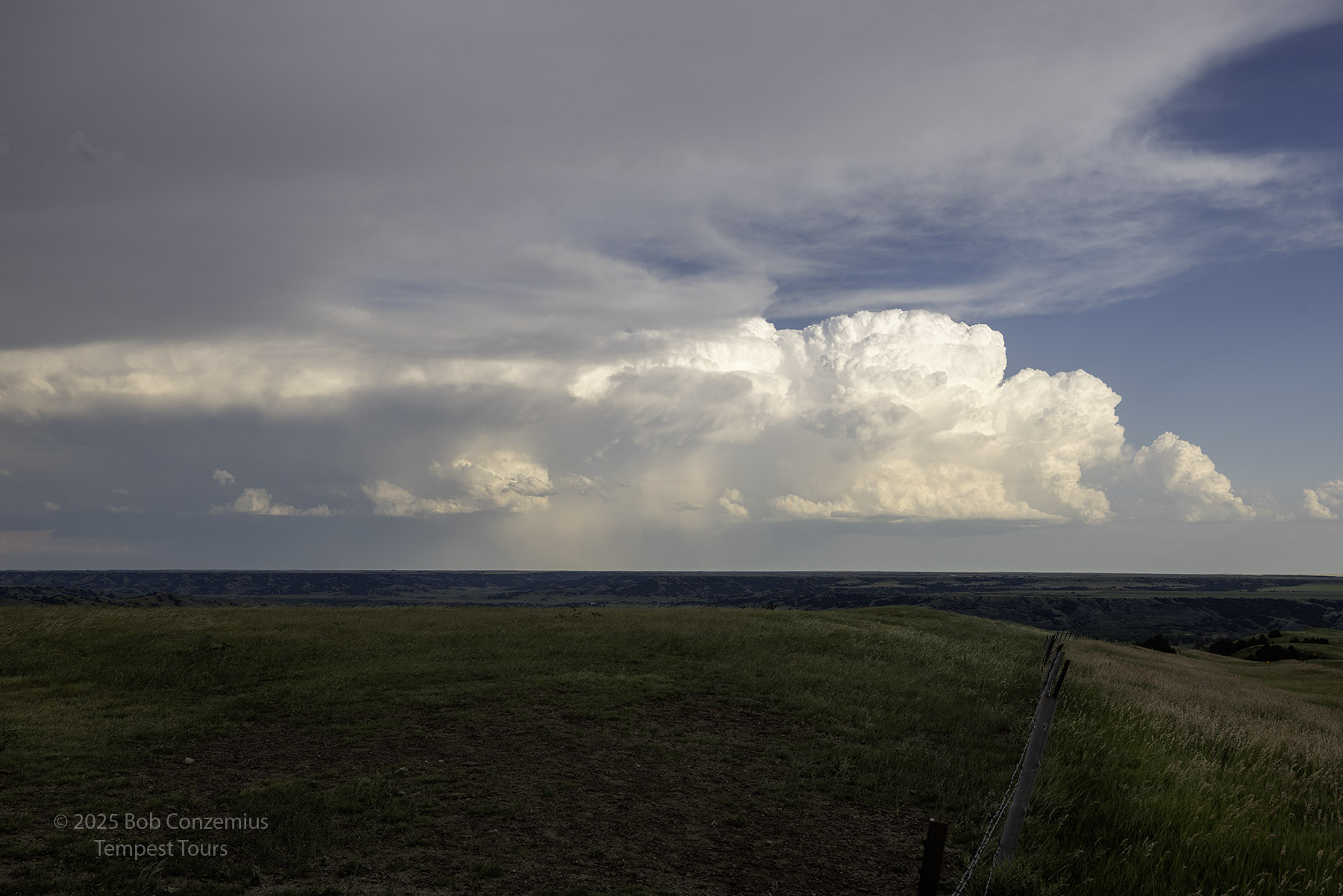
| Here's a look at the storm about halfway between Faith and Mud Butte. |
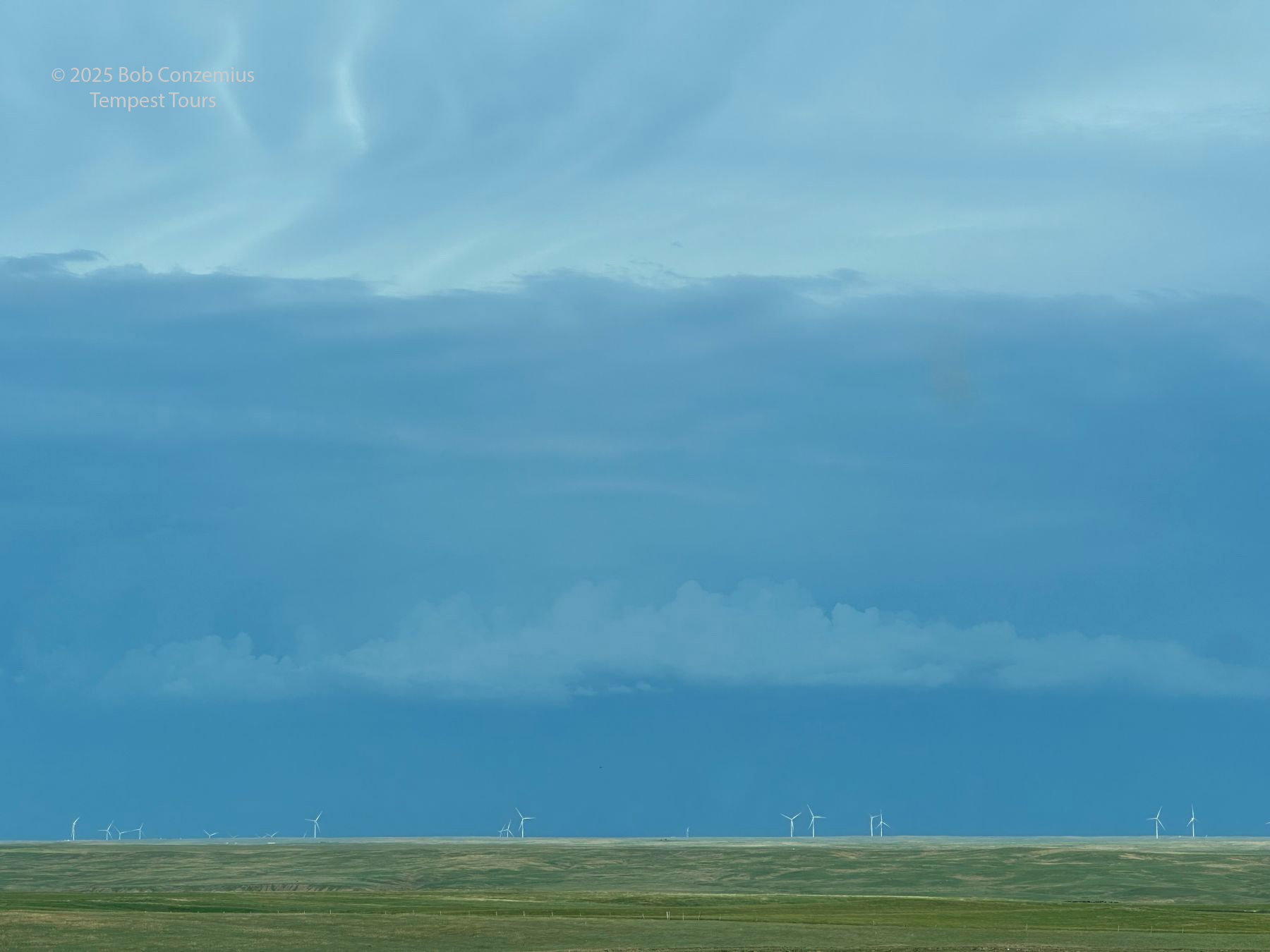
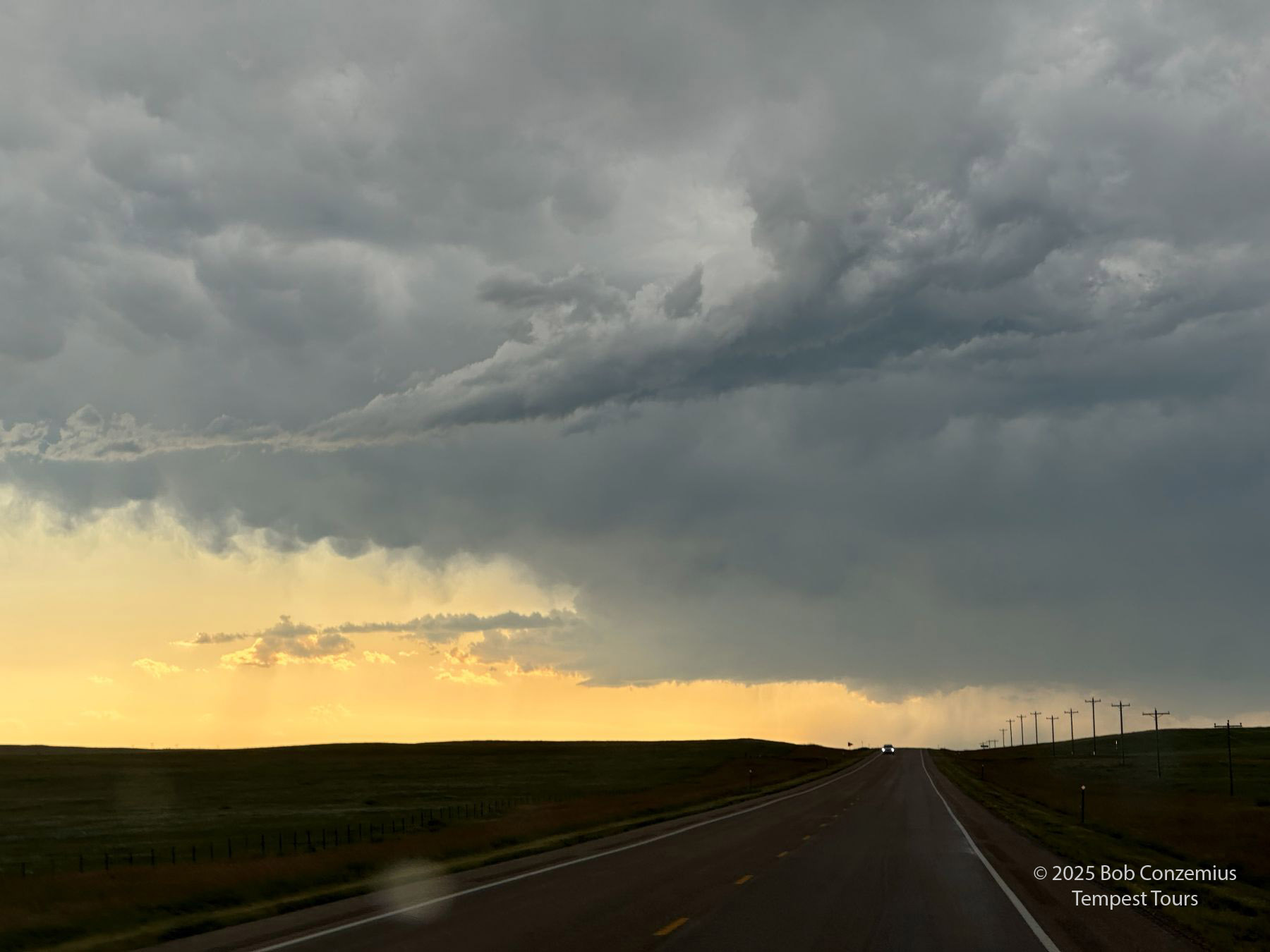
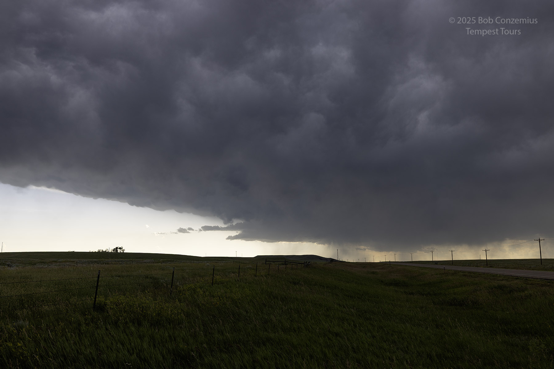
We only got about halfway back to Mud Butte. I wasn't motivated to go much farther. We got out to look at the storm, and it was a pretty scene from where we already were. With the high bases, we already had a bountiful view of the storm to our west. Now what? Well, there were more storms developing well to the southeast, and these had better moisture. It was time to backtrack again! We drove back to Faith and turned south. As we drove along, I had a great view of that western storm. I expected it to dissipate completely, but it never did. It just kept on hanging on. We were more than an hour's drive southeast of our stop to photograph it, but the storm was still in perfectly good view, so I took another picture.
 |
| The storm that kept on chugging along. |
We saw some fresh storms going up well to our southeast. We stopped above a river valley at Bridger, SD to take some pictures. We continued to zig-zag toward Hayes with the intent to get to Pierre to grab some dinner (restaurants would be closed by the time we got to our intended destination of Chamberlain) and continue onward for a bit before settling down for the night.
 |
| Looking to the southeast from Bridger, SD . |
 |
| Forty minutes later (we kept driving), the storms were still well in front of us. |
 |
| Looking directly east from the same approximate location as above. |
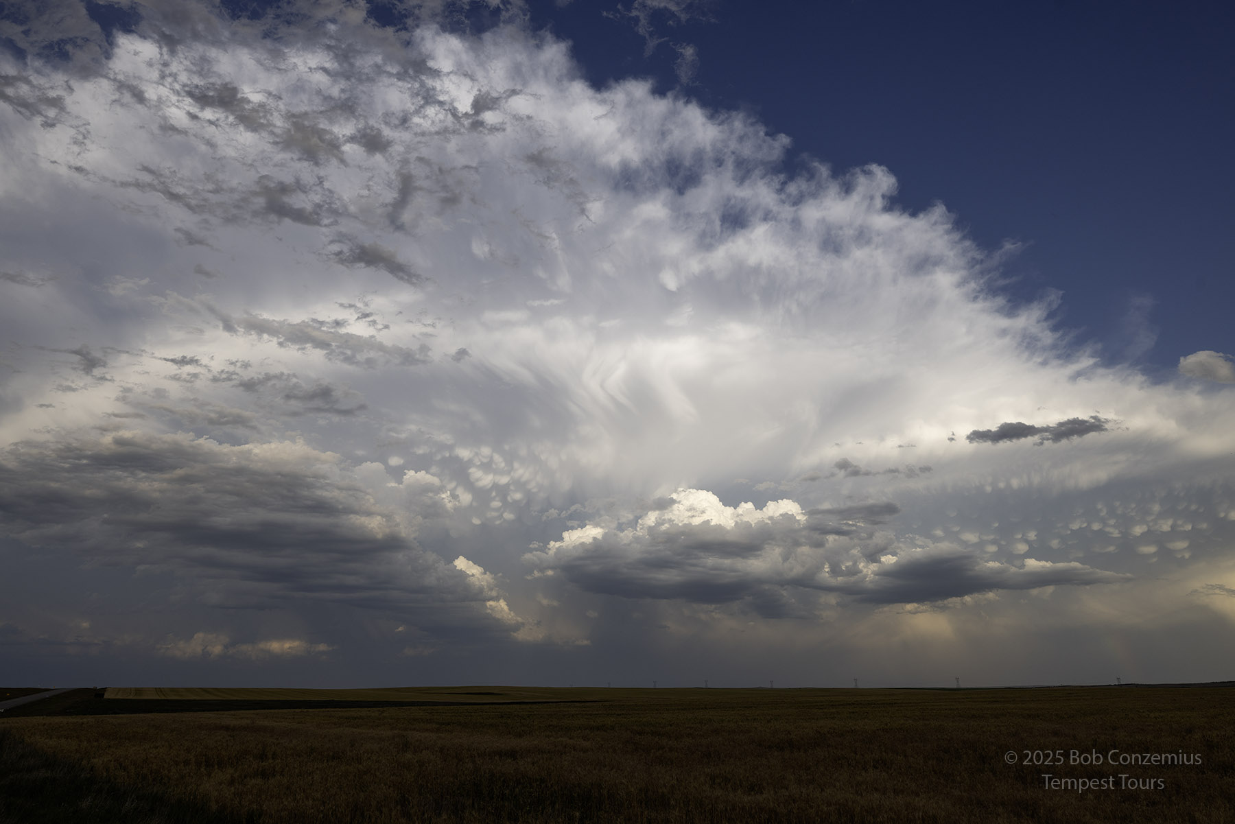 |
| 7:36 PM MDT at the intersection of U.S. 14 and South Dakota Highway 63. |
 |
| Looking more southward. |
 |
| Cell phone shot from the same location, zoomed in a little. |
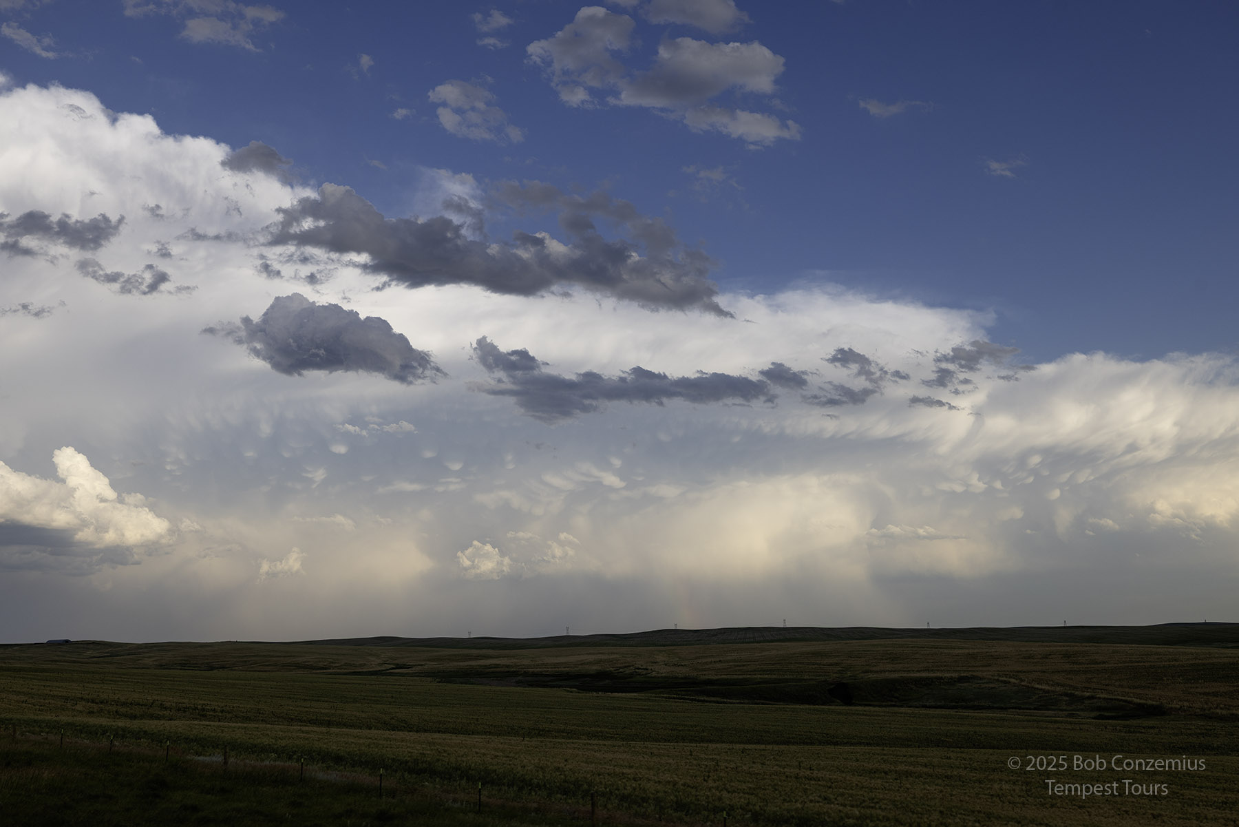
 |
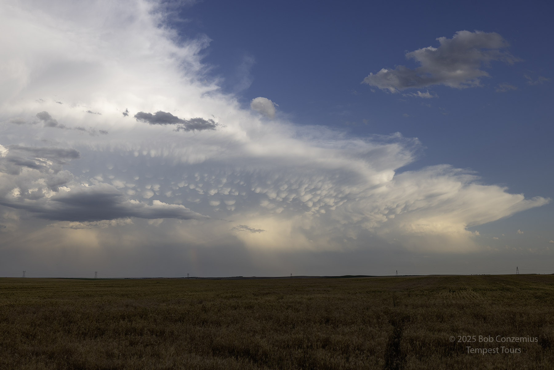
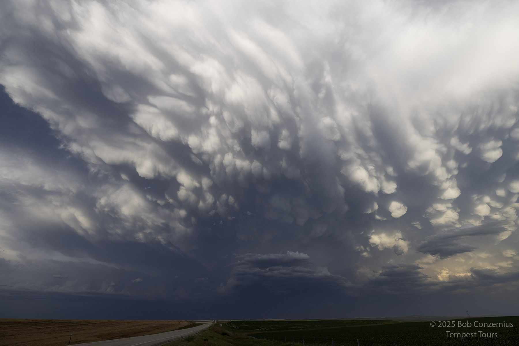
| Cell phone shot from 14/63. Guests are taking in the landscape and developing mammatus. |
From this point, the mammatus expanded greatly, and we were treated to a wonderful sunset as we approached Pierre. We stopped a couple more times to take in the sight.
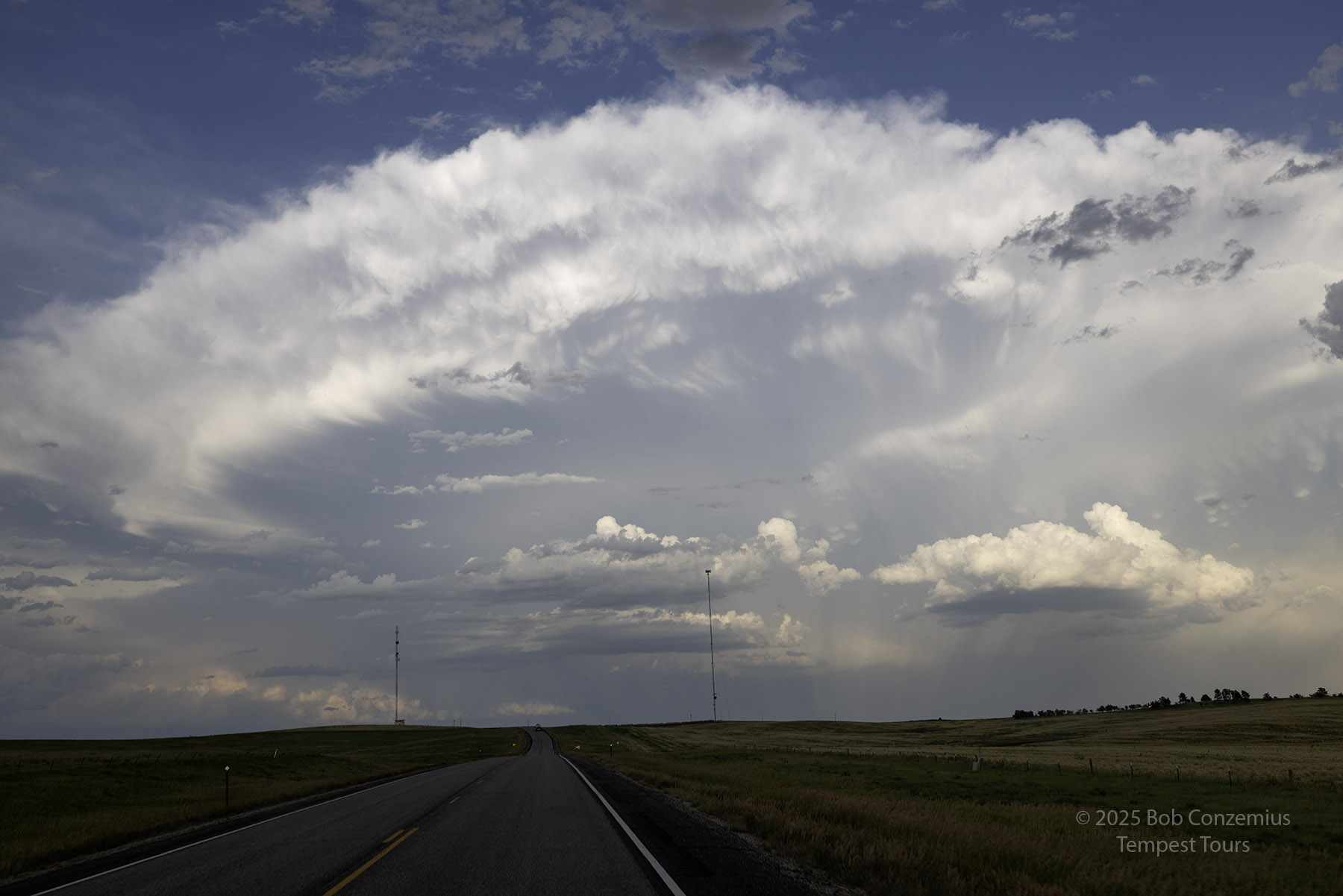
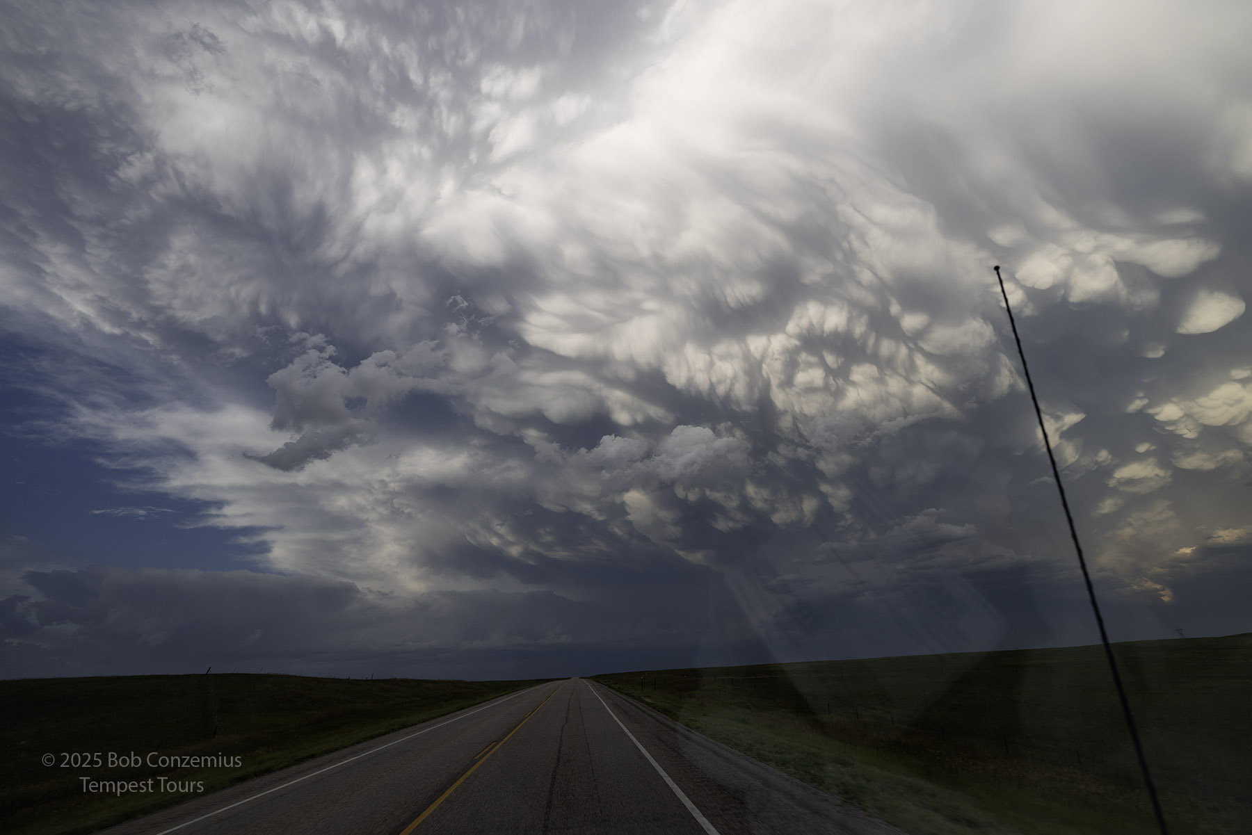 |
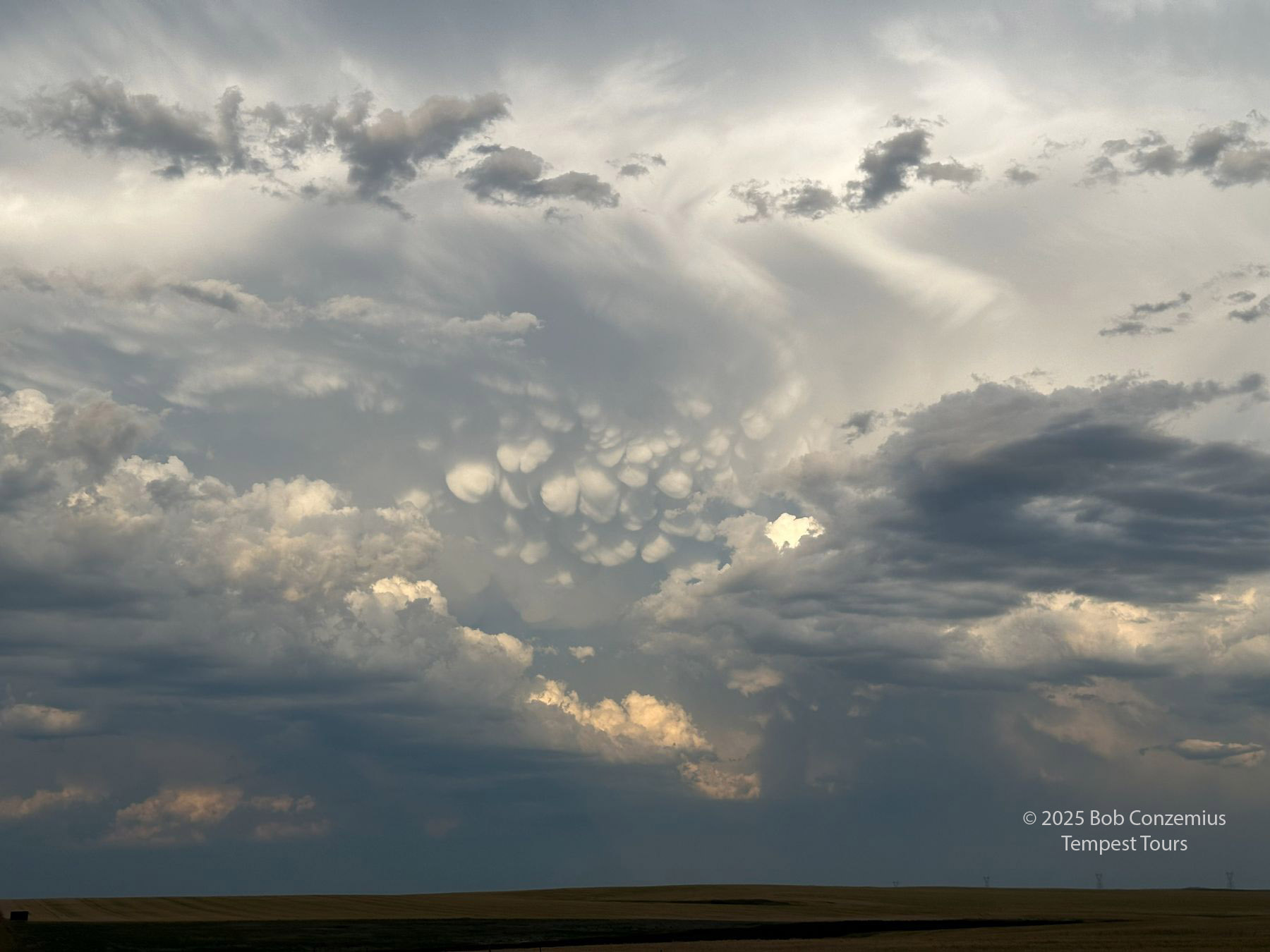
| As we drove east on U.S. 14, the mammatus expanded. |
 |
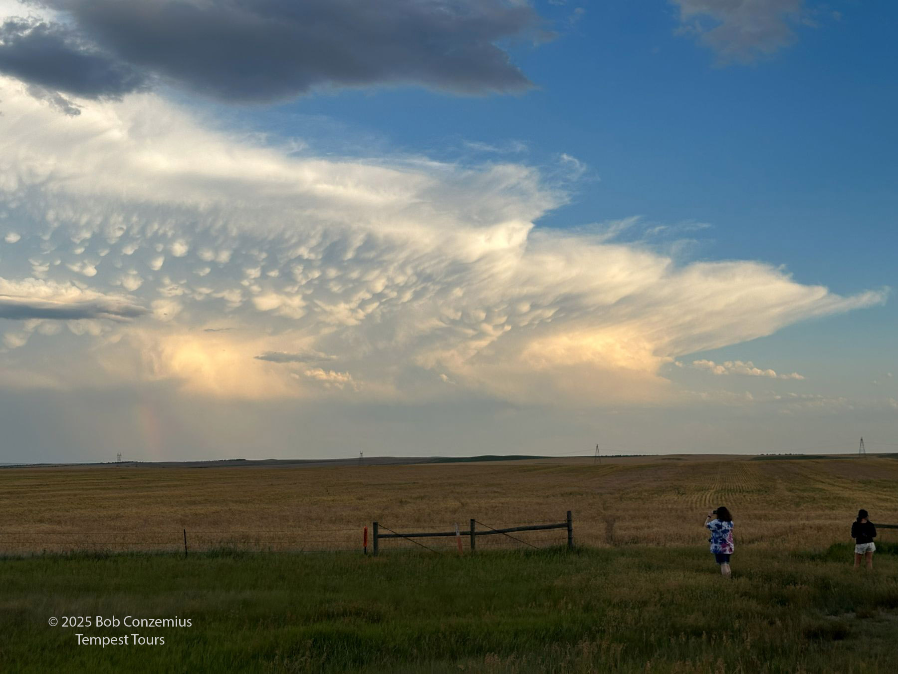
| Stopped again to take some pictures from outside the van. |
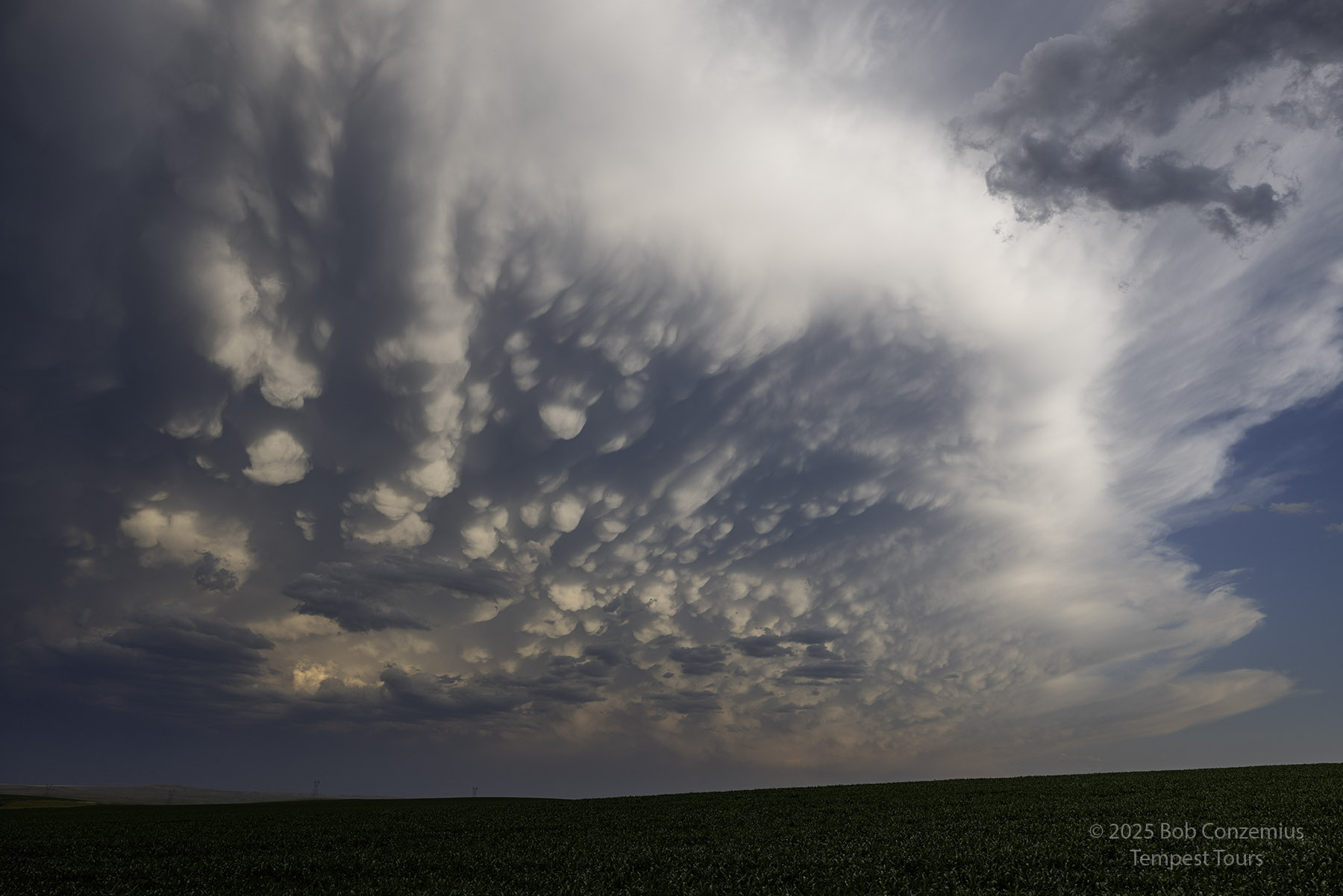 |
| A view to the south. |
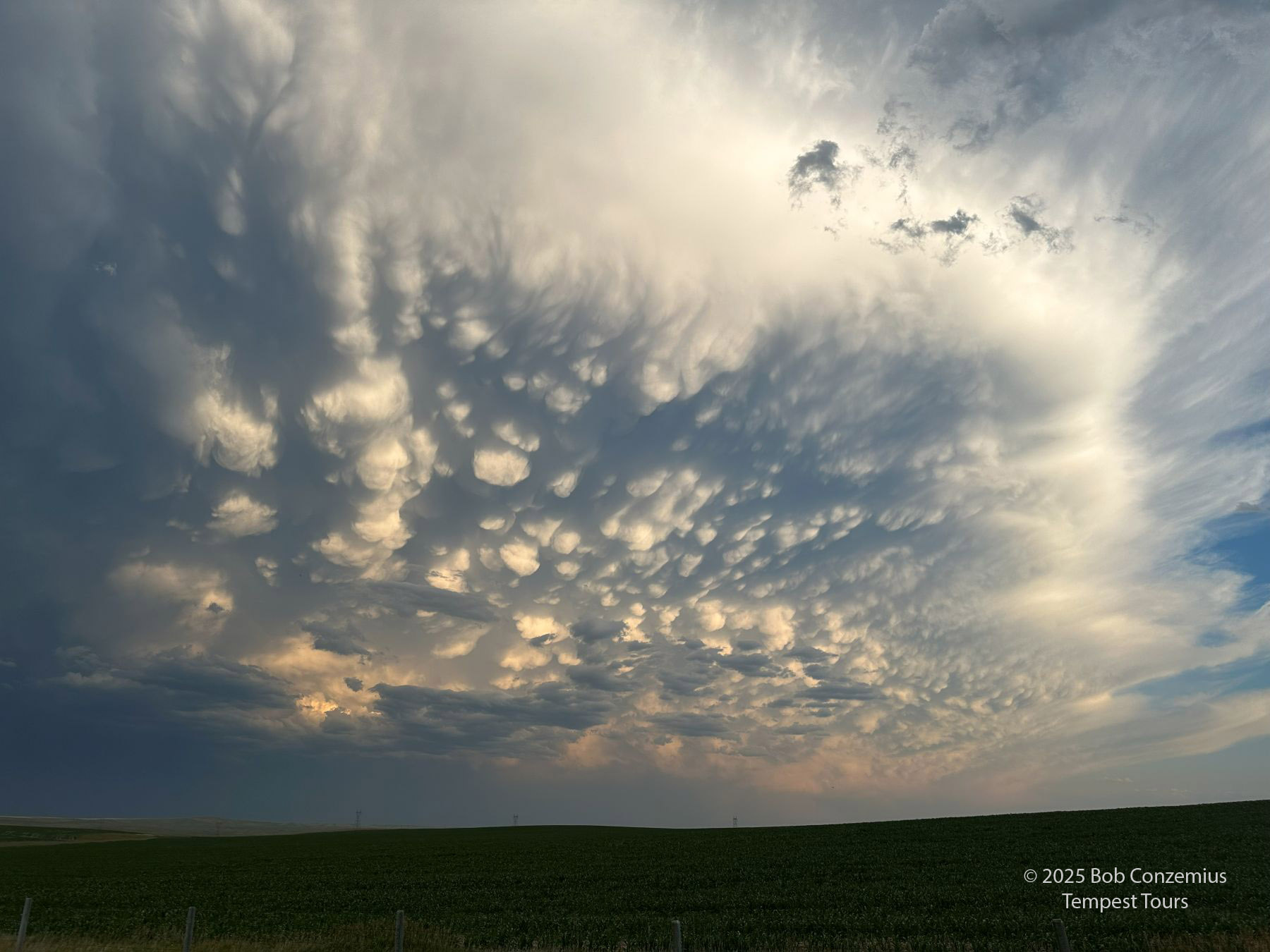 |
| Cell phone picture. We are about halfway between Highway 63 and Pierre. |
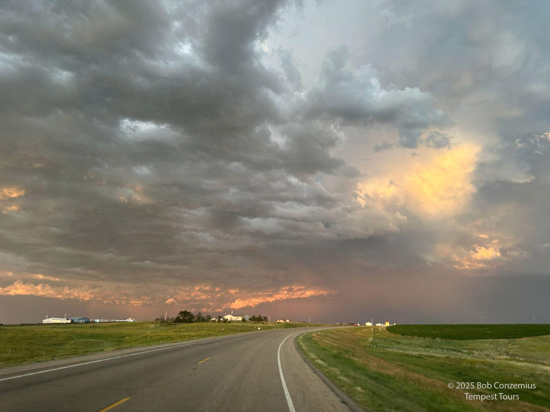 |
| This image was taken just before we drop into the Missouri River Valley and enter Pierre. |
We grabbed some fast food in Pierre then headed for the Super 8 in Chamberlain to stay the night.
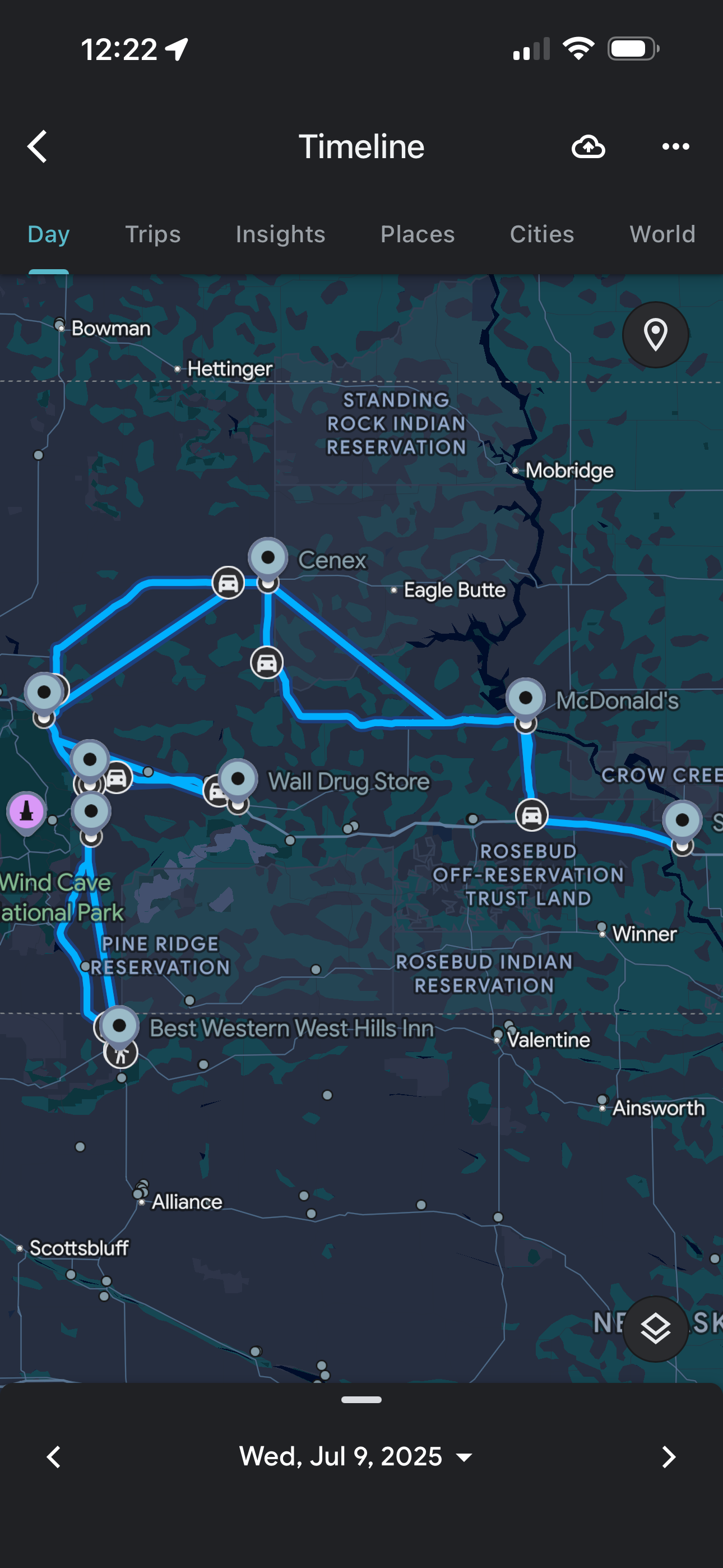 |
| This is the route we took. |
Back to Storm Chases | Home