Month DD, 2025 Storms
Storm Location
On the second day of Tour 10, we had an enhanced risk of severe storms. The enhanced risk area stretched from the northeastern corner of Colorado in far northeastern South Dakota. Surrounding that area was a large slight risk area that covered most of the northern and central Plains. We were in Wray, near the southern boundary of the enhanced risk. Our goal today was to get on the first storms womewhere near the Cheyenne Ridge and chase them eastward. The convection-allowing models showed the storms to become linear with time. This is pretty normal for Colorado's high-based storms.
Our primary logistical constraint today was that we had some further guests joining the tour today, and they were getting shuttled to our tour from the Denver airport. Fortunately, we were not too far away from there, and storms would likely take us along the interstate (I-80) into Nebraska, so it would be easy for the new guests to catch us.
Generally, the storms evolved as we thought, and we had some relatively discrete storms early, followed by linear storms later on. We were able to meet up with our new guests just west of Ogallala. We continued eastward to North Platte and stayed at the Best Western there.
Below are some pictures from the chase.
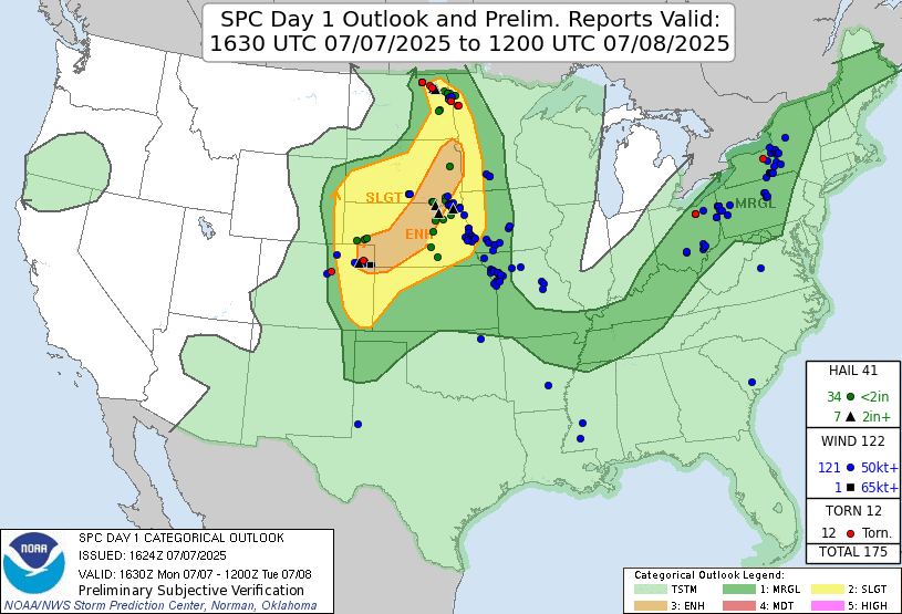 |
| Storm Prediction Center 1630 UTC Day 1 convective outlook with verification. |
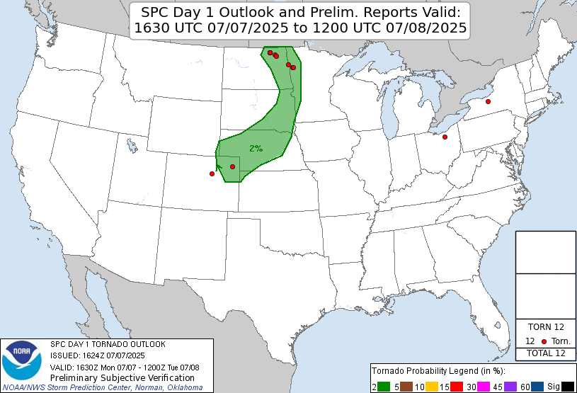 |
| Storm Prediction Center 1630 UTC Day 1 tornado outlook with verification. |
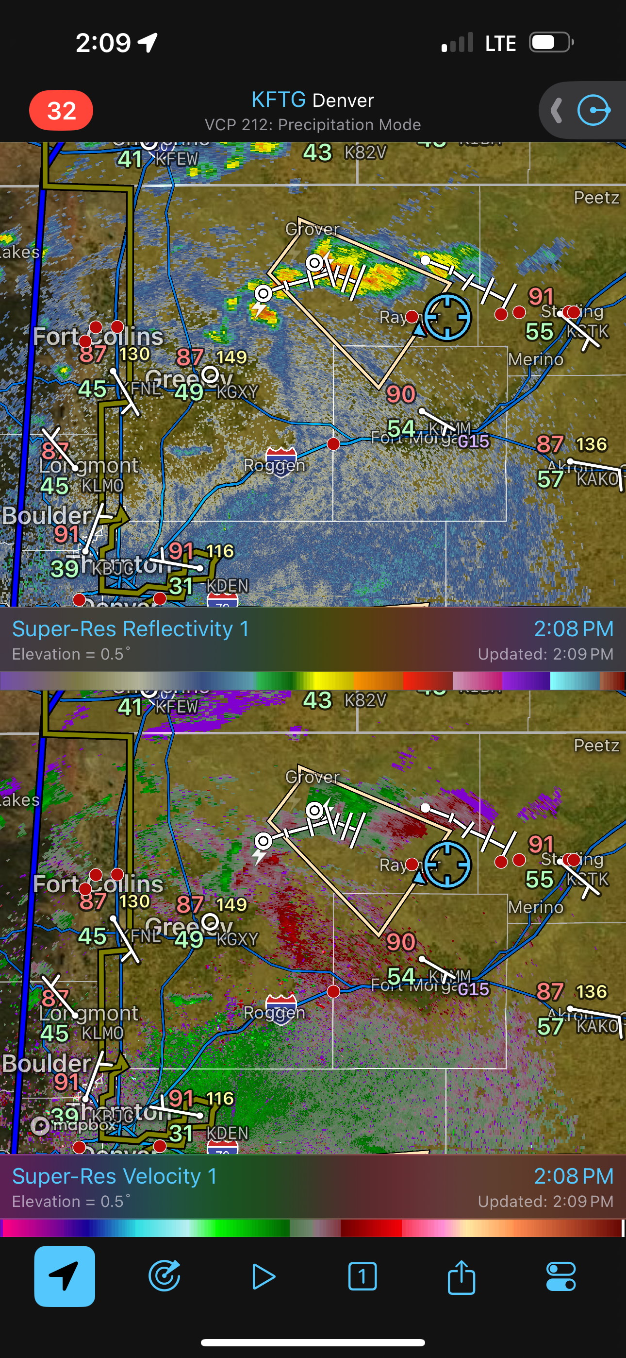 |
| Radar image of our first storm. |
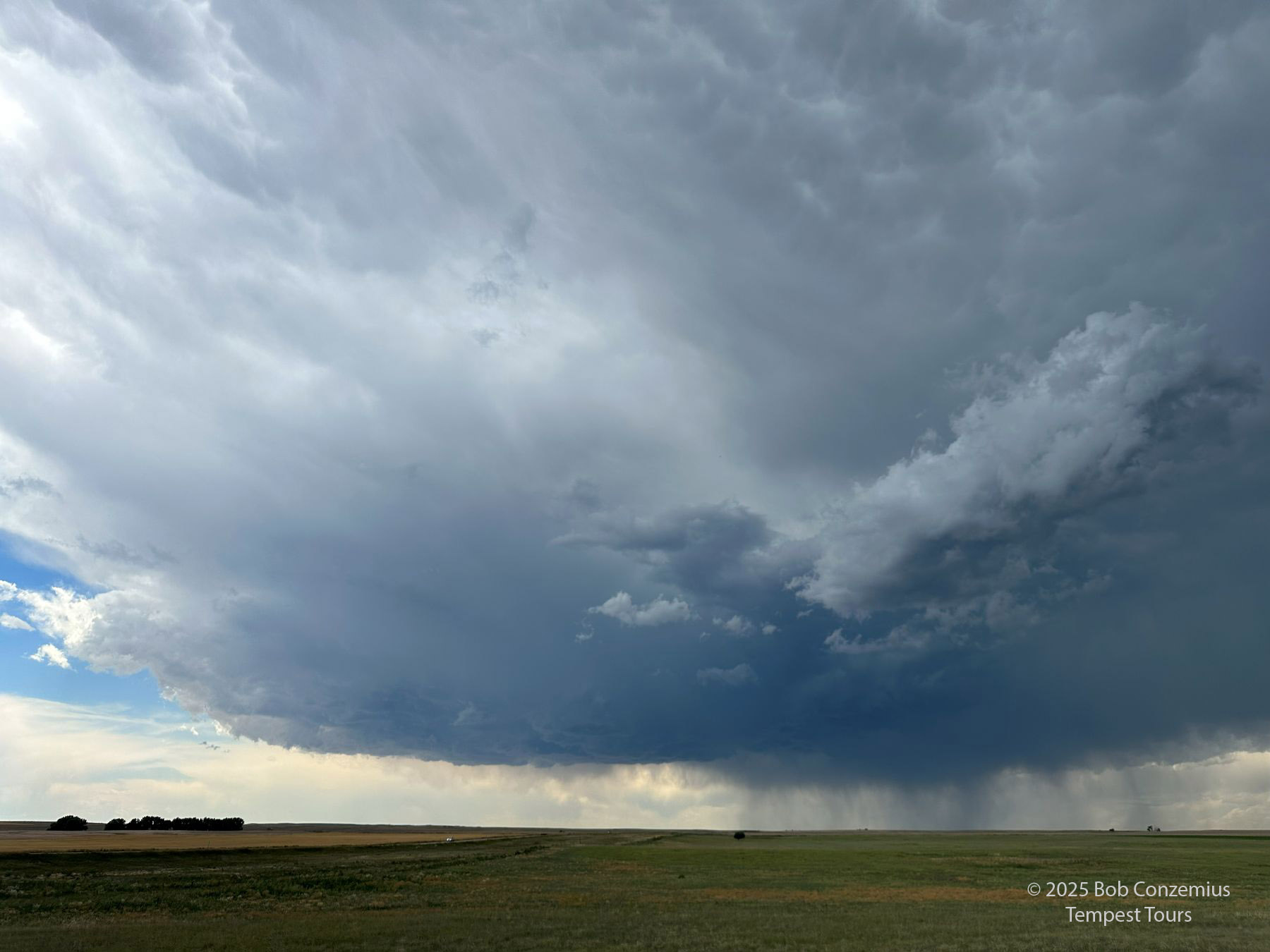 |
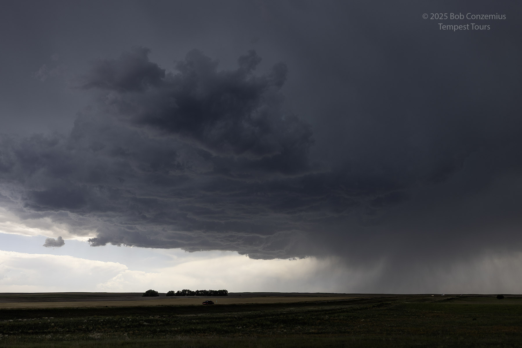
| Here is the corresponding cell phone image, taken near New Raymer, Colorado. |
 |
| A more zoomed-in shot. |
 |
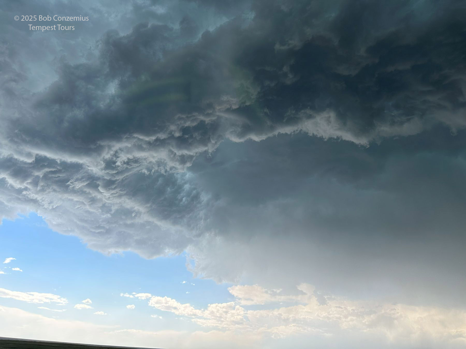
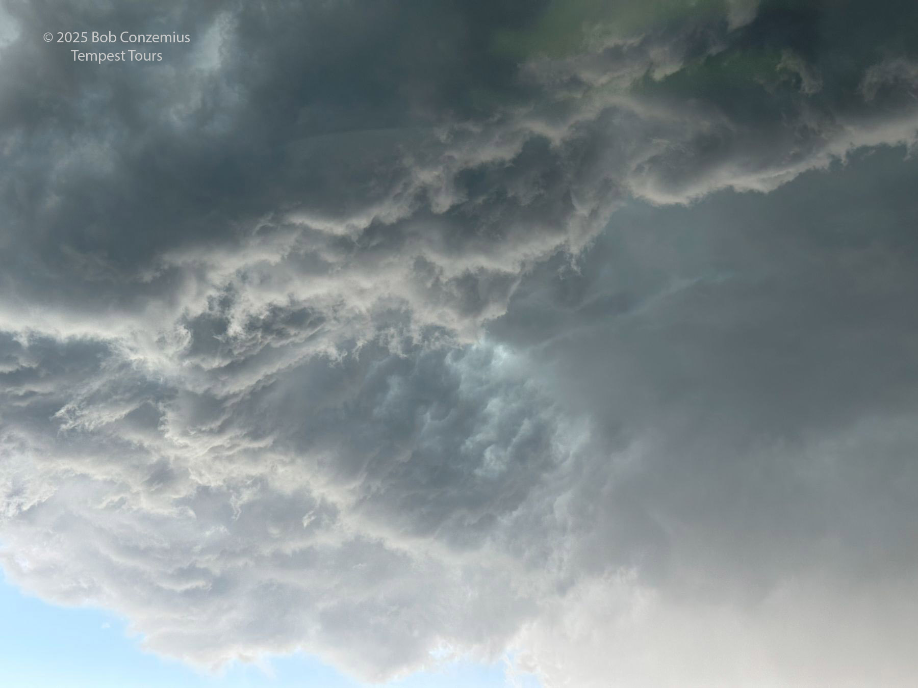
| Even more more zoomed-in. |
 |
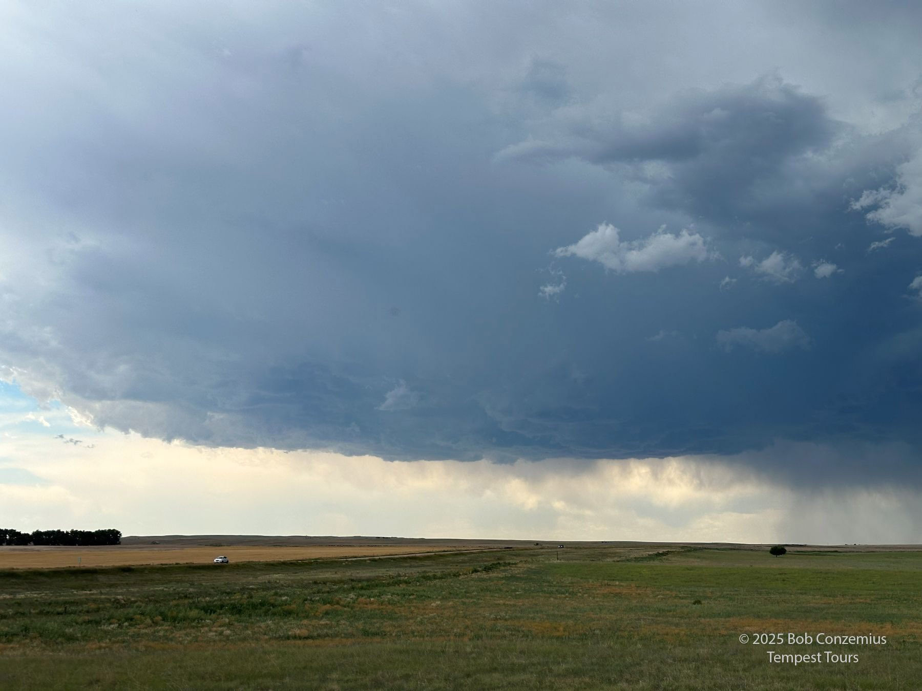
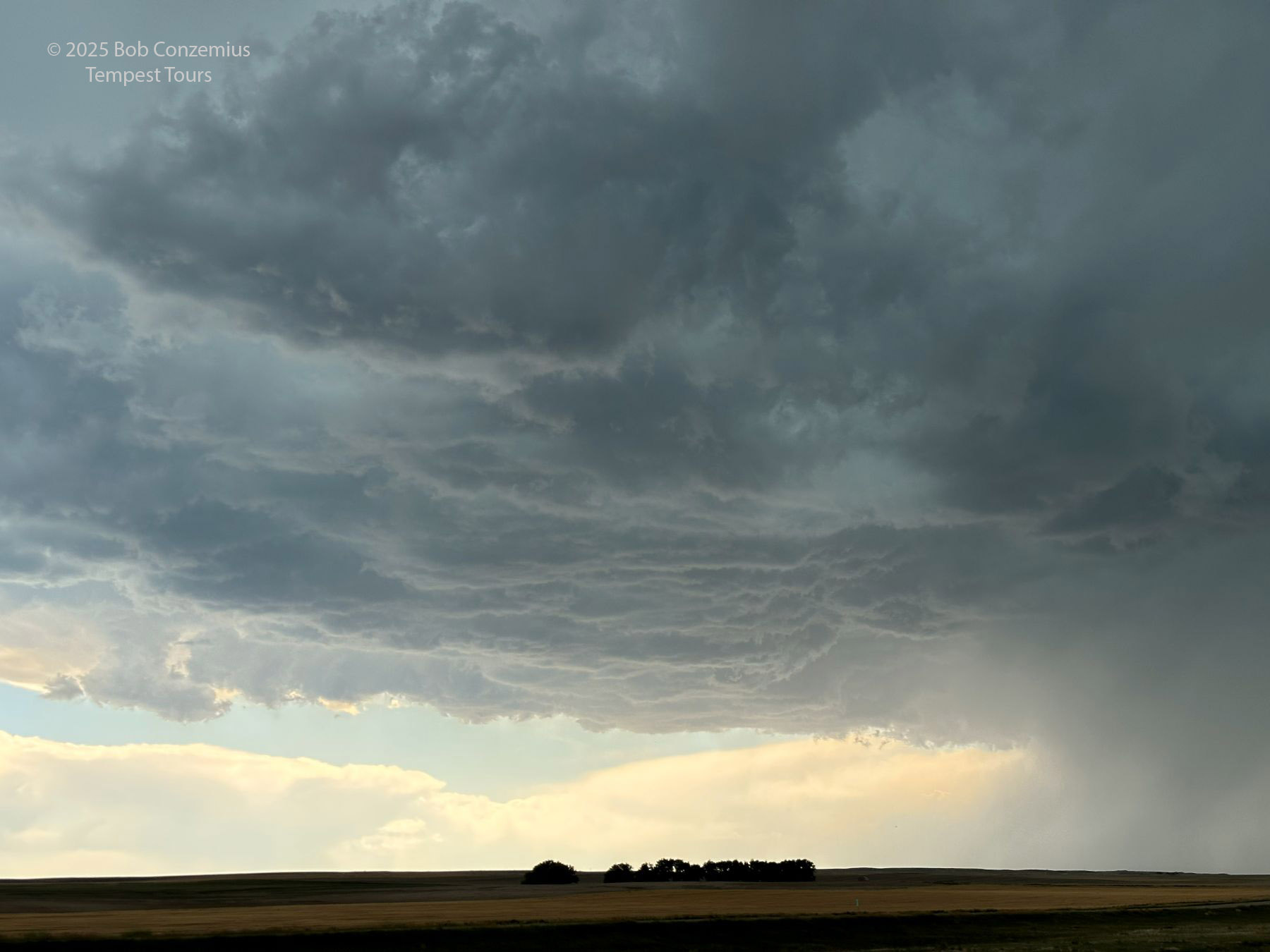
| Storm a few minutes later, also at New Raymer. |
 |
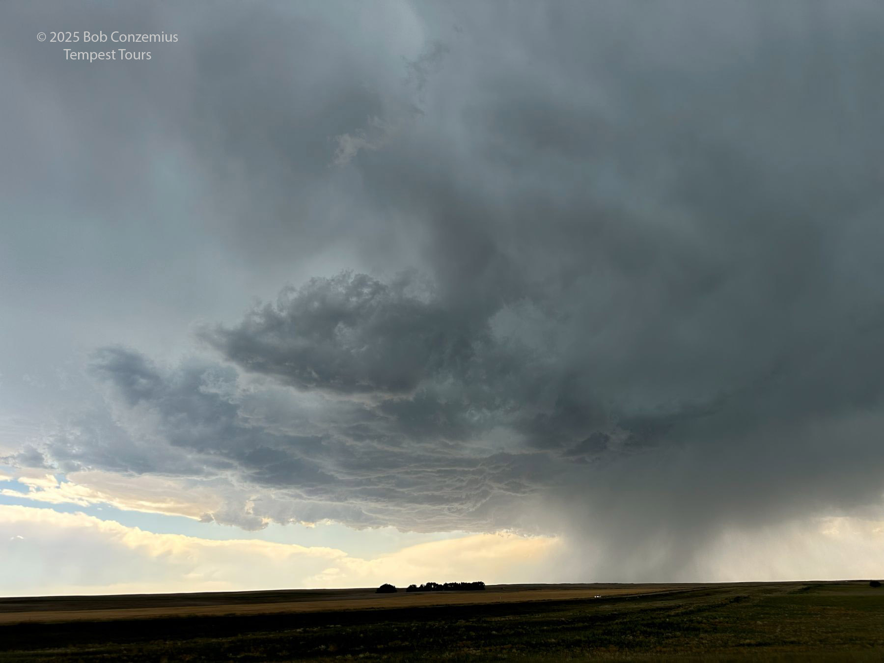
| Another 15 minutes later (2:46 PM), guests enjoy the storm. |
 |
| A minute later at the same spot. Nice to have some time to watch at this location. |
 |
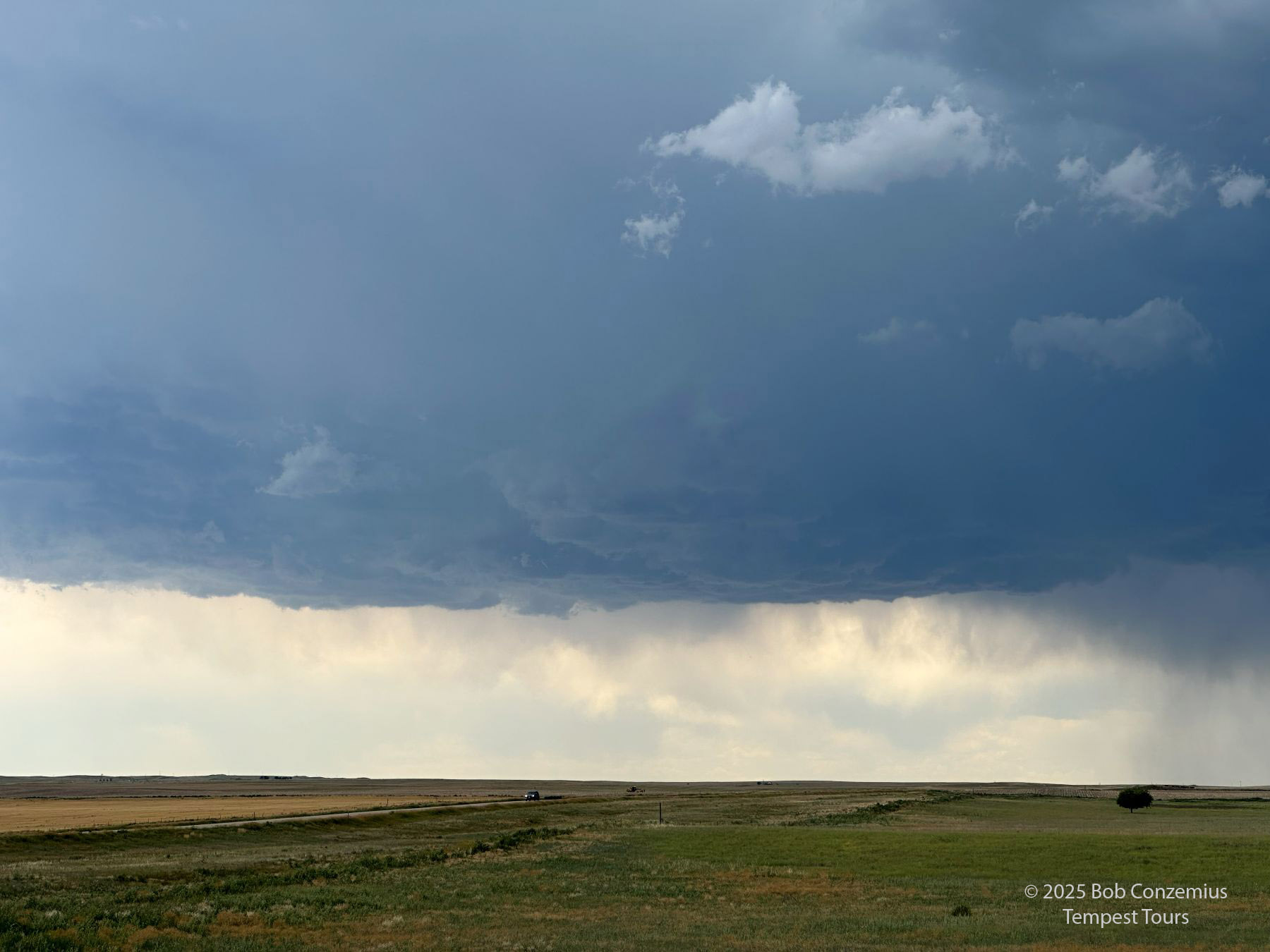
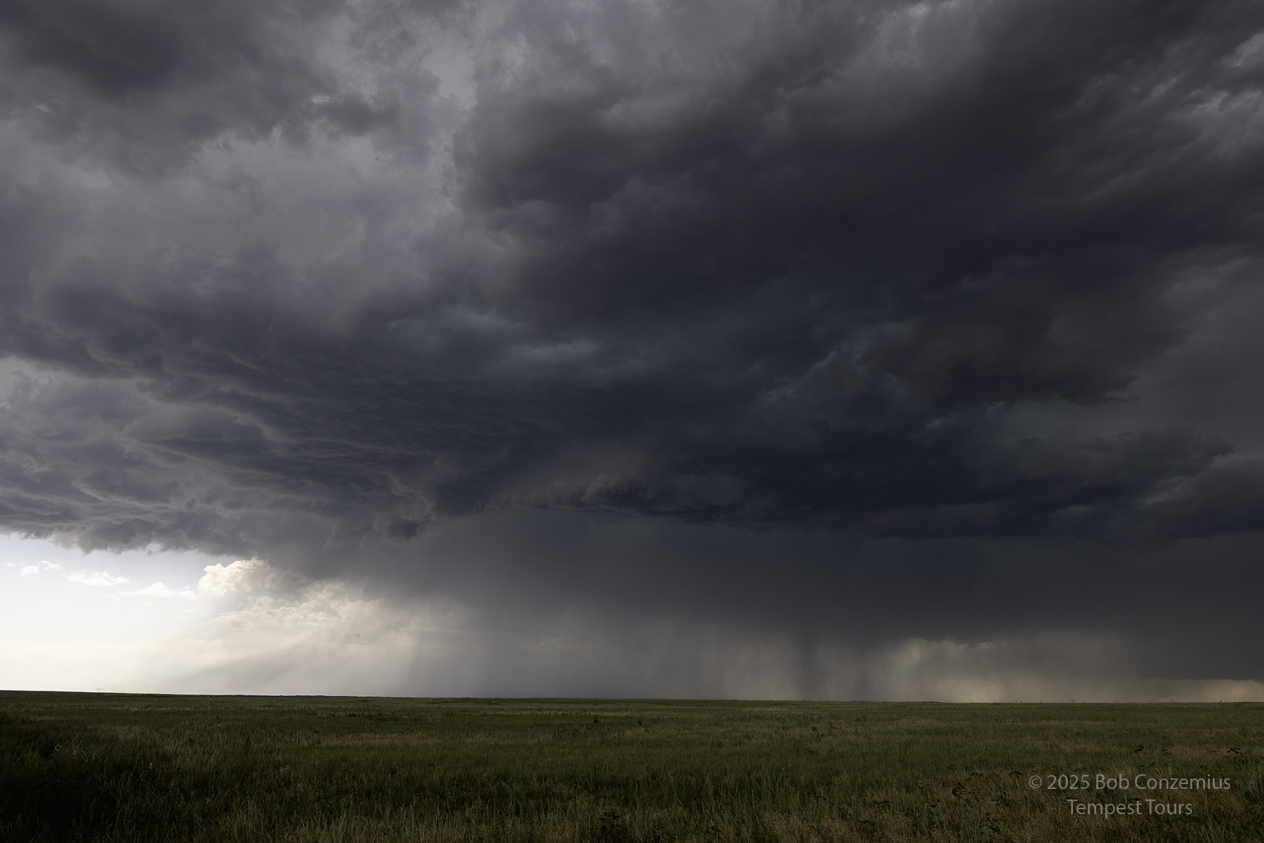
| Another few minutes ahead, the storm still looks good. |
 |
| A wider shot at 2:49 PM MDT. |
 |
| We dropped south about halfway to Fort Morgan. 3:14 PM |
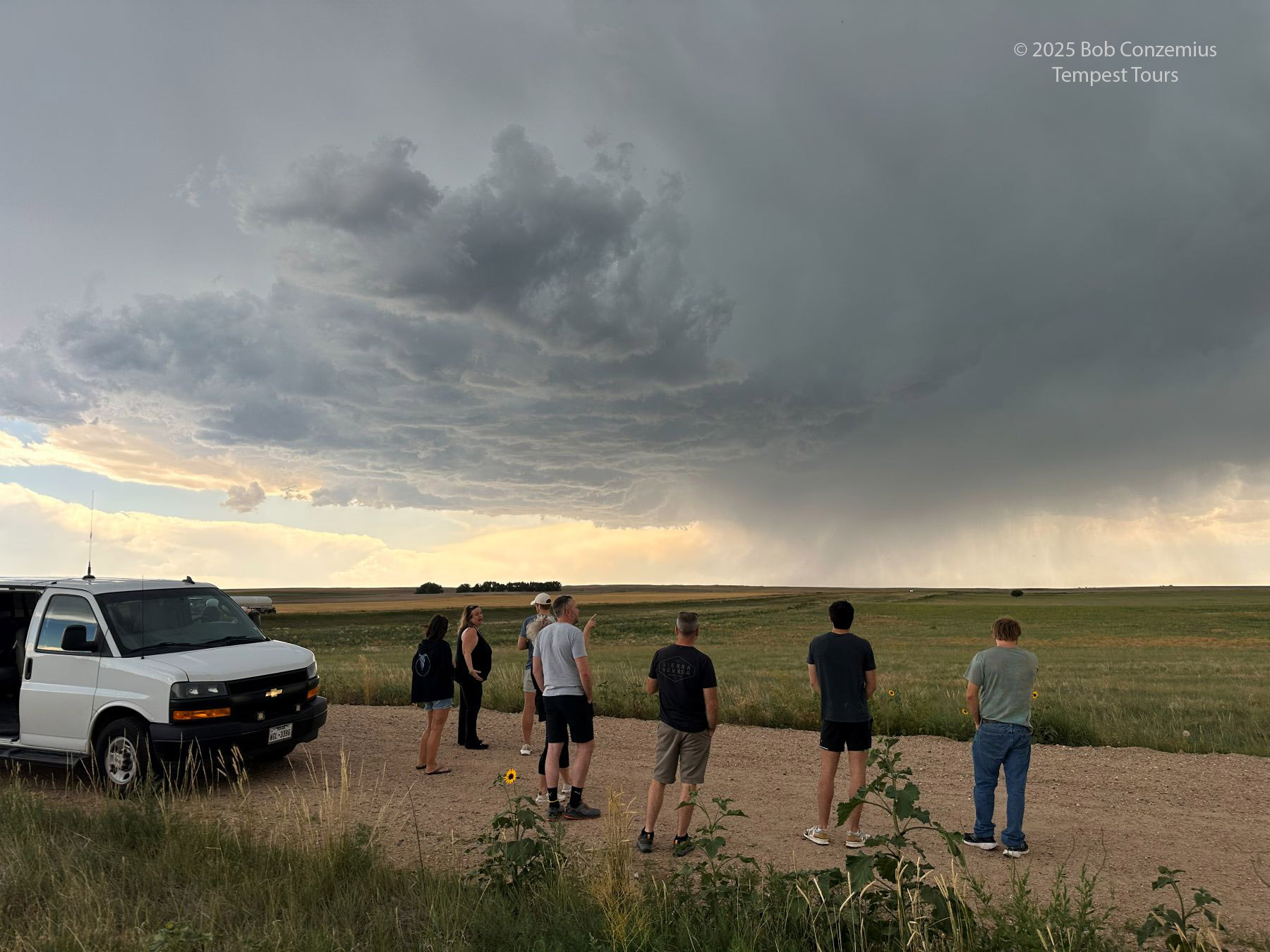
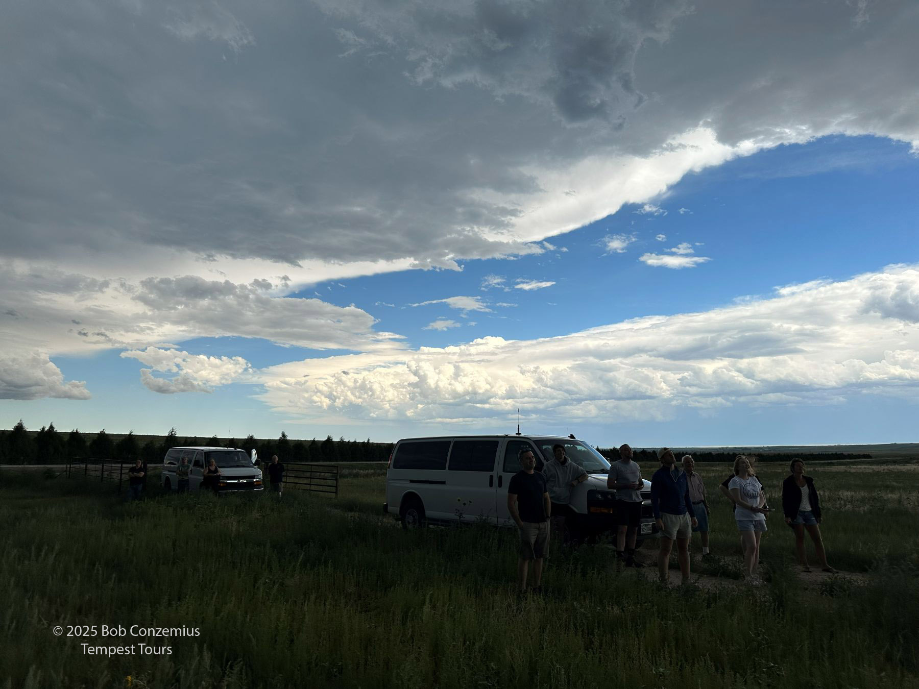 |
| Guests are enjoying the storm and the mellow-paced chase. |
 |
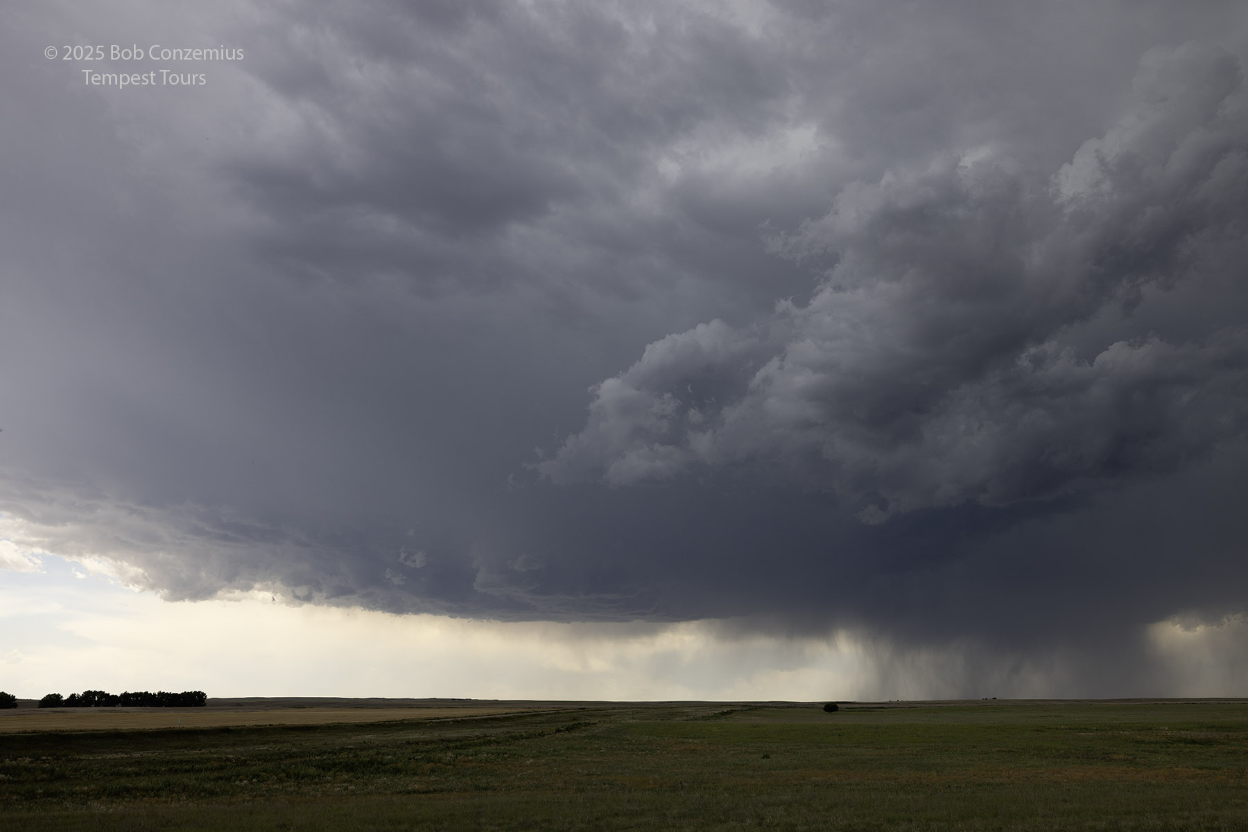
| This is a storm image. 3:16 PM. |
 |
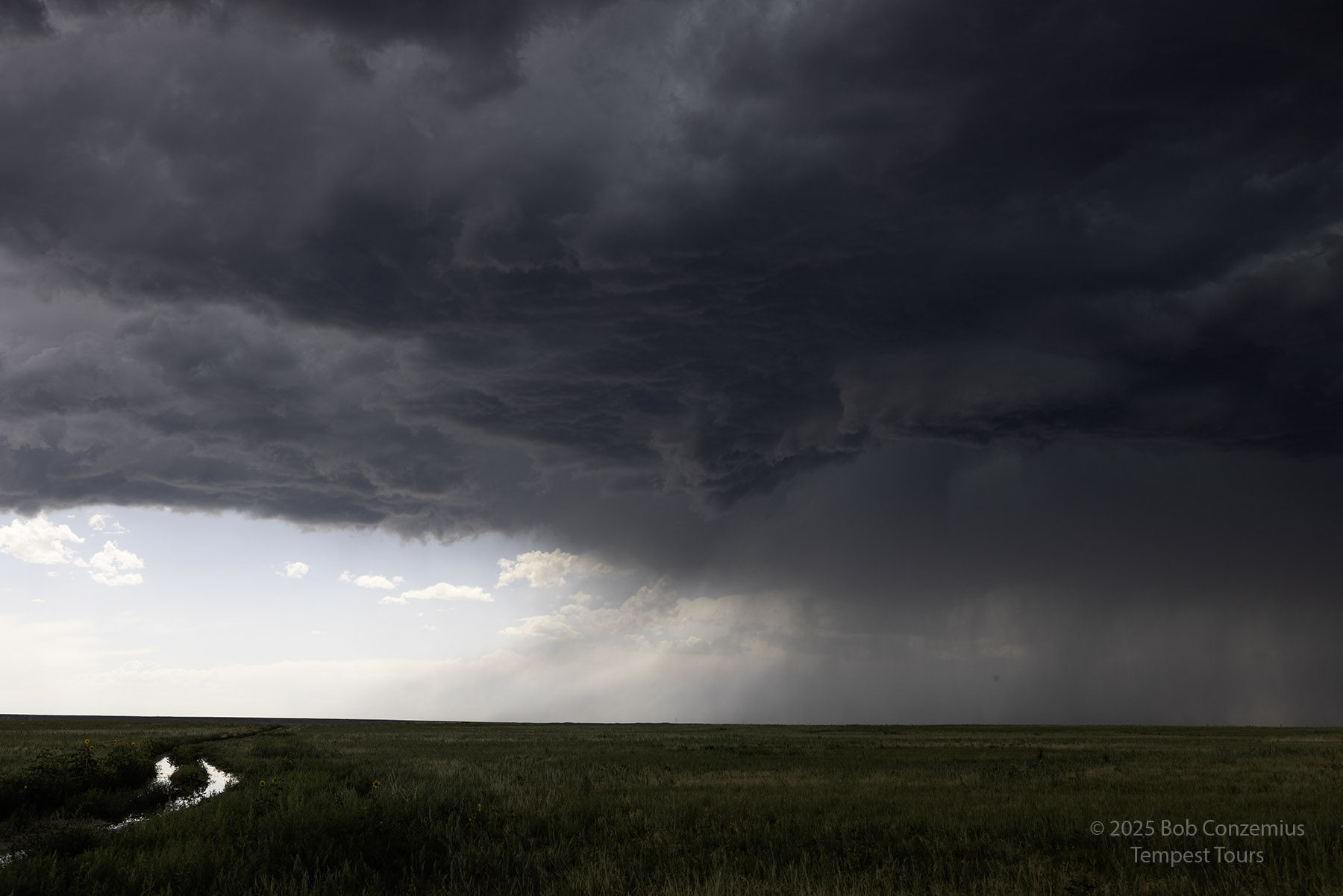
| 3:27 PM. The storm is gusting out a bit more. |
 |
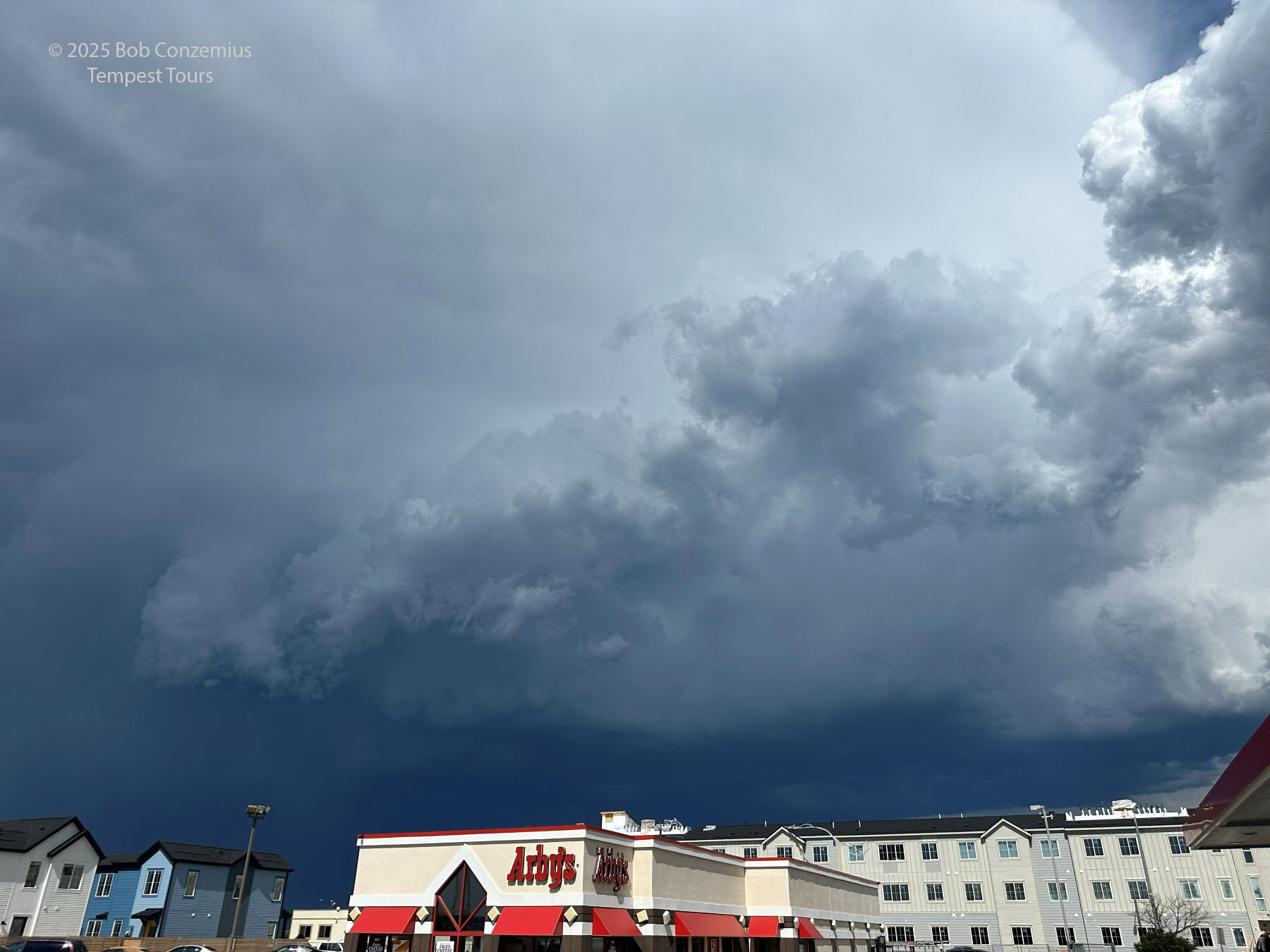
| Continuing to look at the shelf cloud structure. |
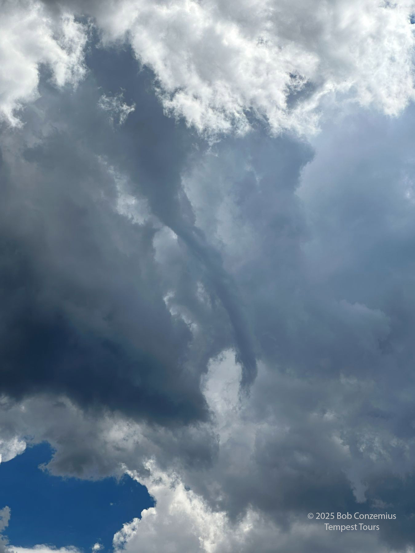 |
| A high-based funnel develops when we get to Fort Morgan. |
 |
| The storms get a bit east of us. 3:57 PM |
 |
| The initial line mostly dissipated, and this storm was visible far to the north at North Platte. |
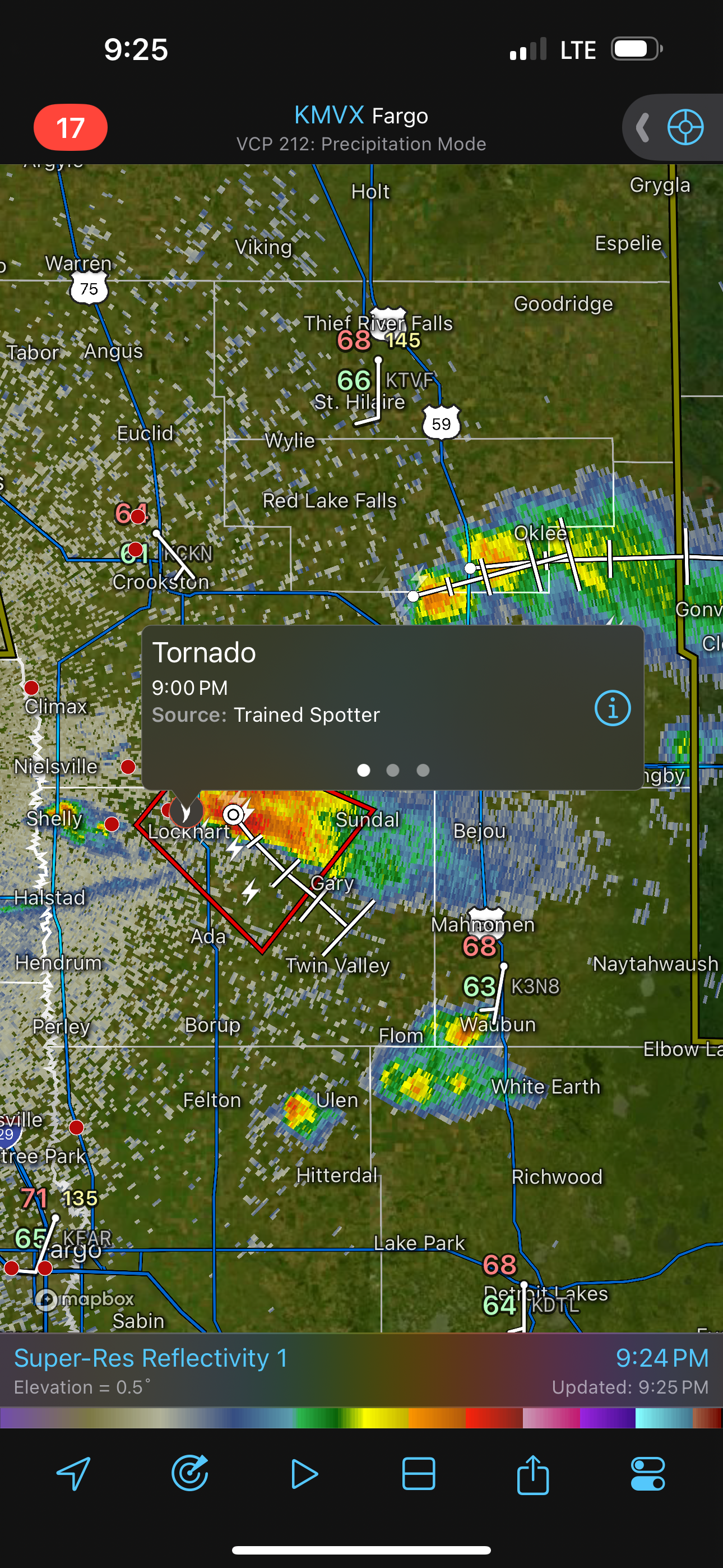 |
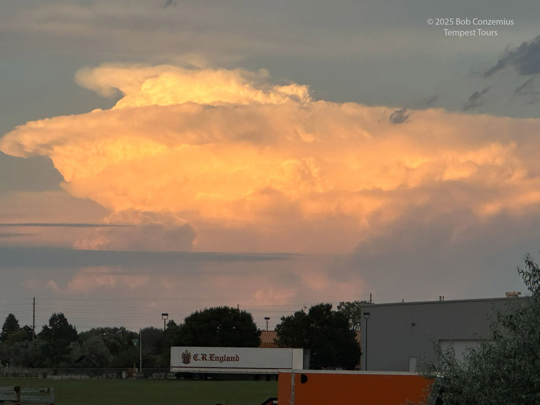
| Meanwhile, closer to home in Minnesota... |
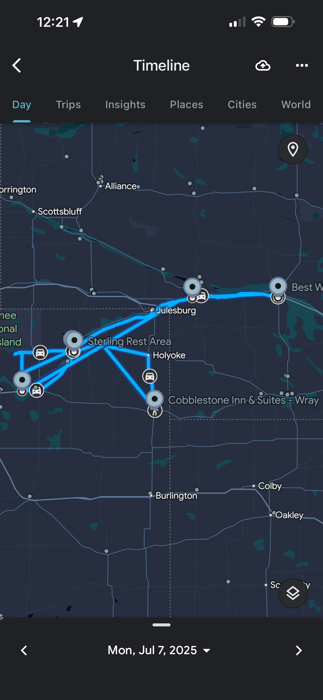 |
| This is the route we took. |
Back to Storm Chases | Home