July 4, 2025 Rain
Nebraska
This was an interesting day. It was the last day of Tour 9. There was a slight risk in the Red River Valley of the North along the Minnesota/North Dakota border. Since we had to be in Denver the next morning, this area was out of reach for us. We elected to drive south into Nebraska at the tail end of the marginal risk, hoping for any discrete storms that might develop there. Storms did develop, but the atmospheric lapse rates were very moist adiabatic or tropical, and the storms quickly congealed into a shield of steady rain and gray skies.
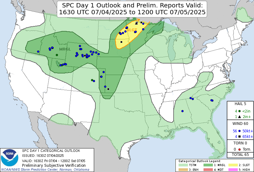 |
| Storm Prediction Center 1630 UTC Day 1 convective outlook with verification. |
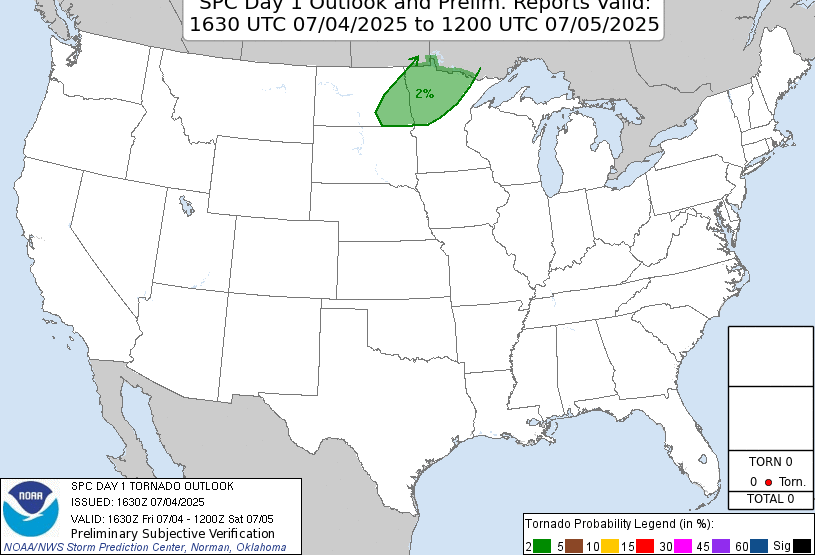 |
| Storm Prediction Center 1630 UTC Day 1 tornado outlook with verification. |
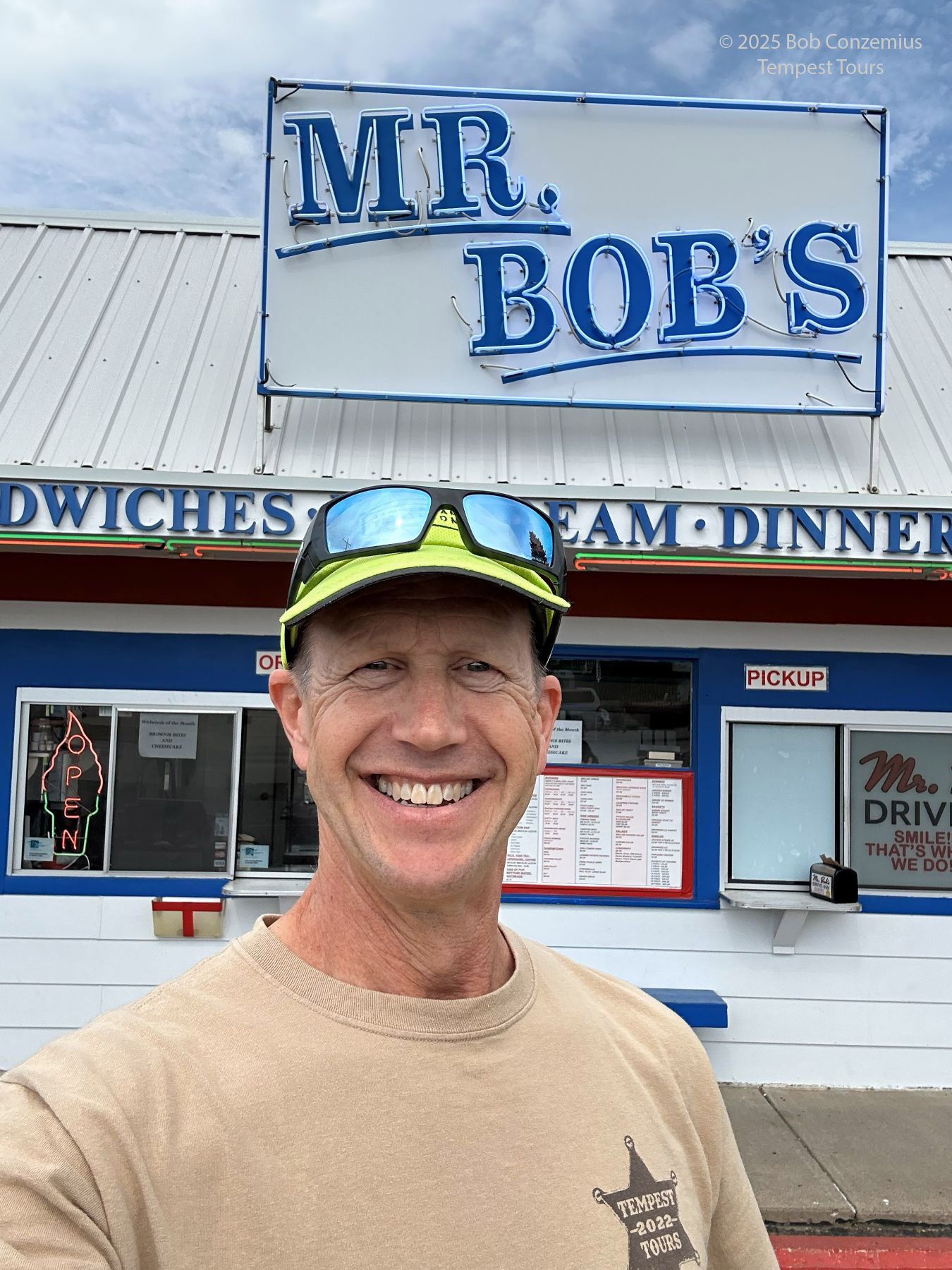 |
| Here I am in front of my hot dog stand in Selby, SD. |
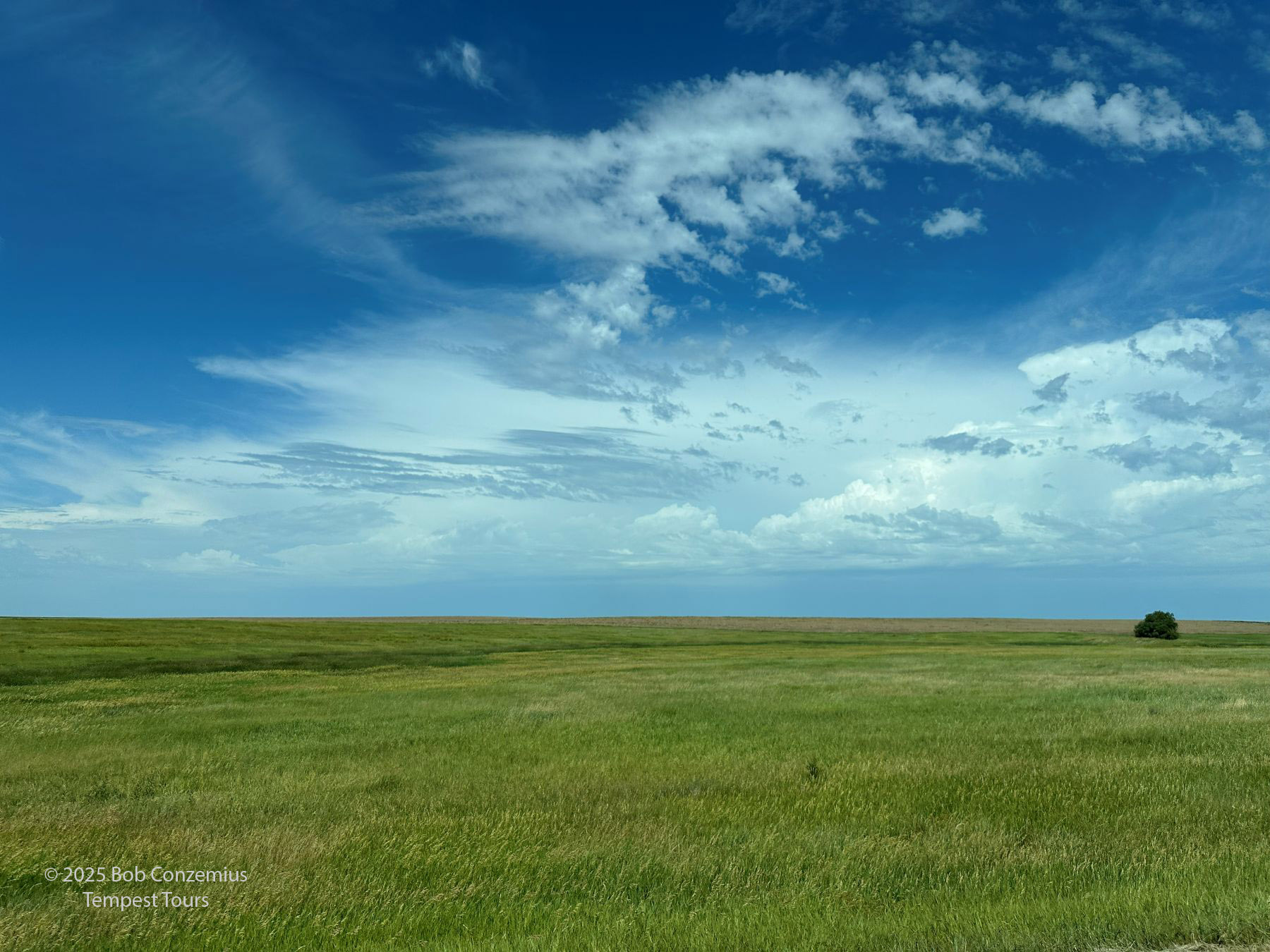 |
| Some early storms to the distant west. Viewed from U.S. 83 southeast of Mobridge, SD. |
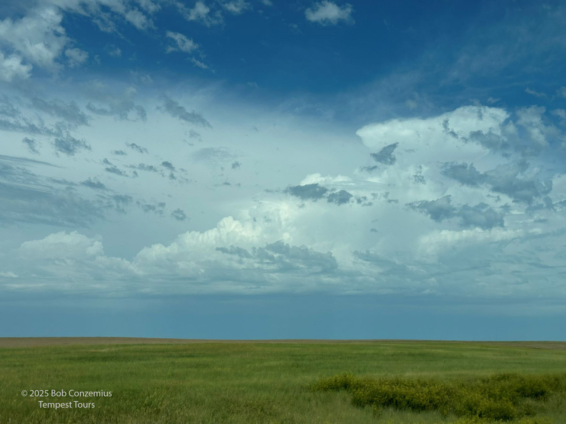 |
| Here's a look at one of bigger convective clouds. |
 |
| A fresh storm near Winner, SD. The storms quickly merged with other, ongoing storms and did not stay discrete. |
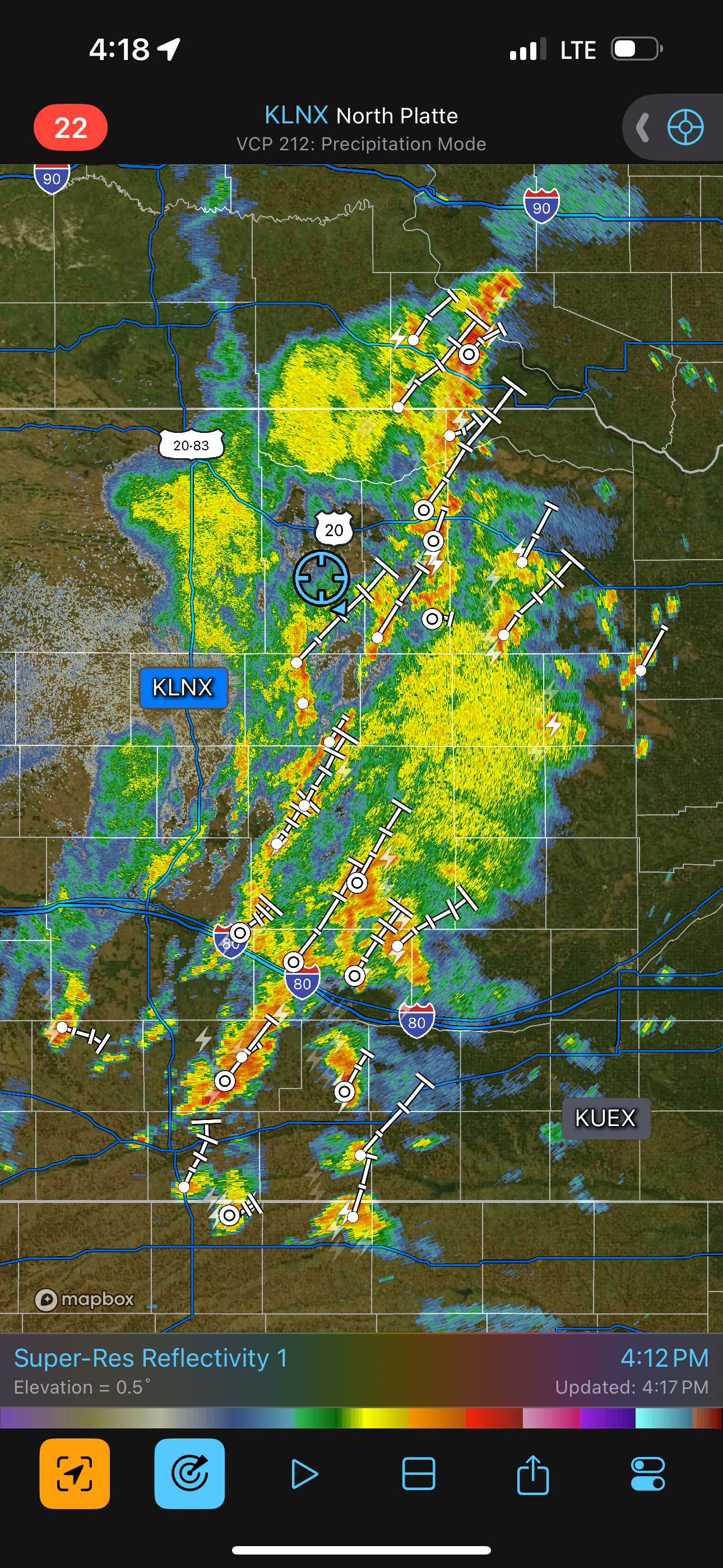 |
| Radar shows kind of a big mess. |
 |
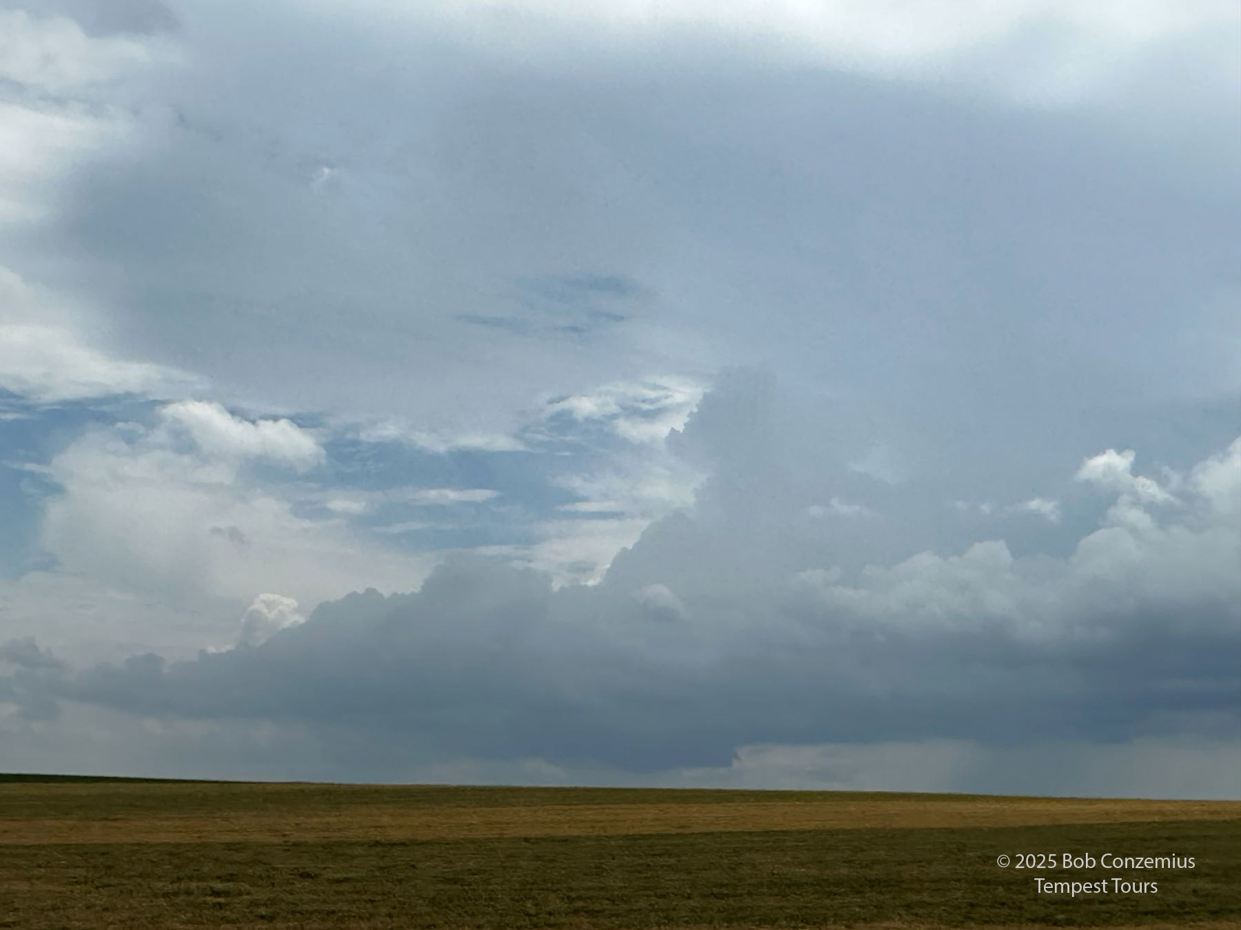
| We lost essentially all visibility on any updraft bases. |
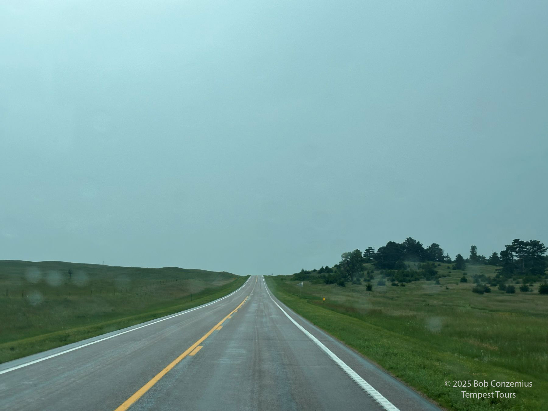 |
| Gray skies ahead. I found this interesting and actually somewhat fun. |
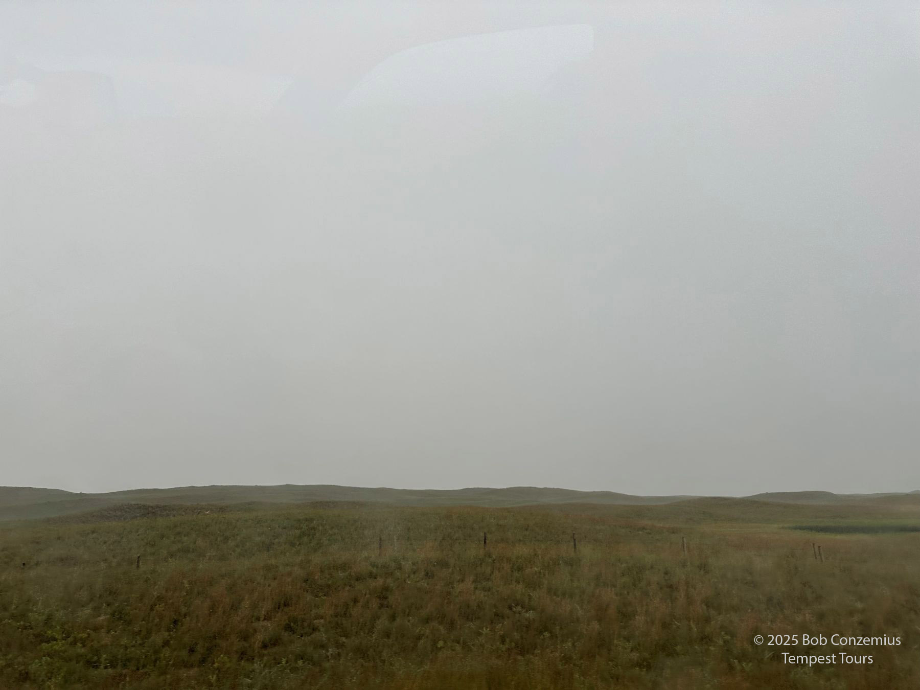 |
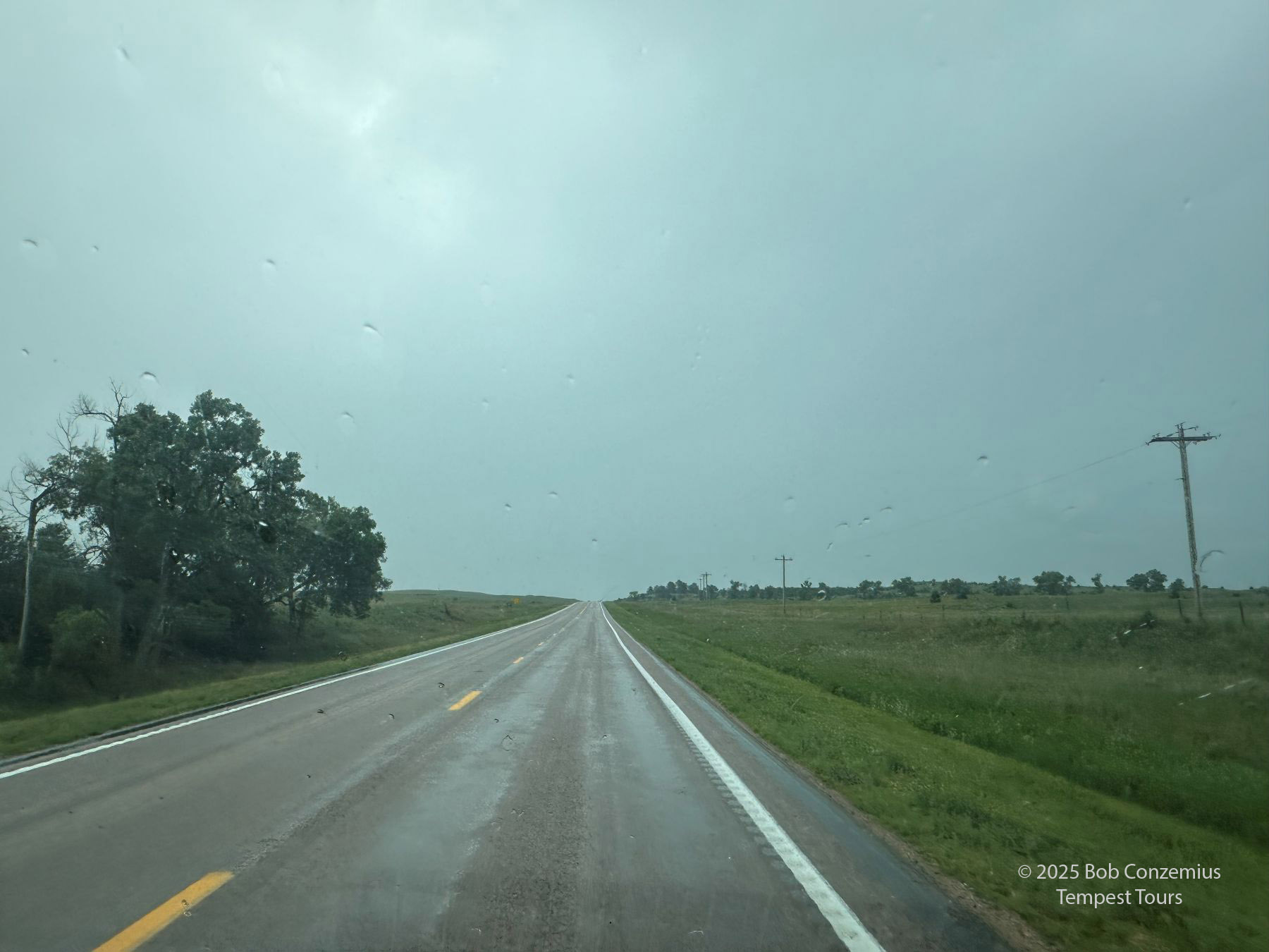
| Looking west at steady rain. |
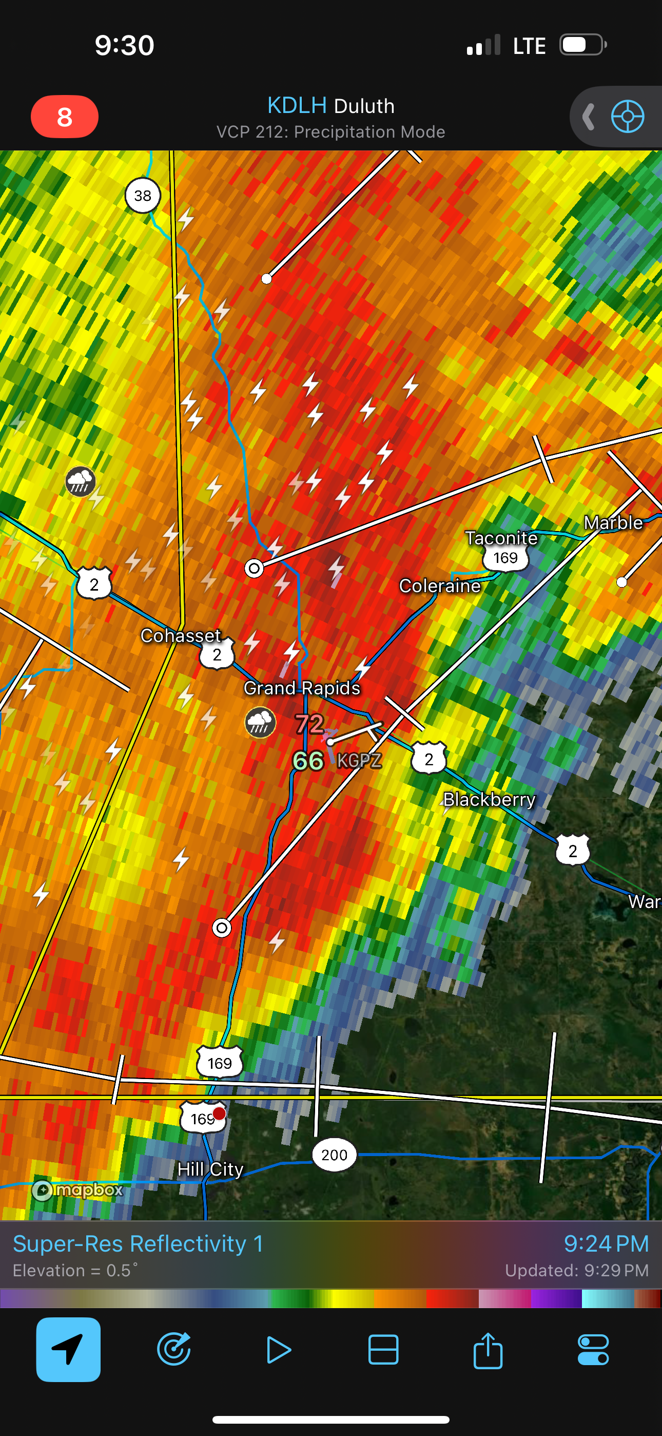 |
| Meanwhile, back at home, the slight risk was producing a nice squall line. |
Well, we didn't see any dramatic storms on the way into Nebraska, but it was an interesting day. It was pretty intriguing how the atmosphere could produce such a gray, steady rain in Nebraska in July. I learned something. We also had some fun at our stops on the way south through the Dakotas into Nebraska. It was interesting stopping at a couple of the small towns and experiencing their vibe.
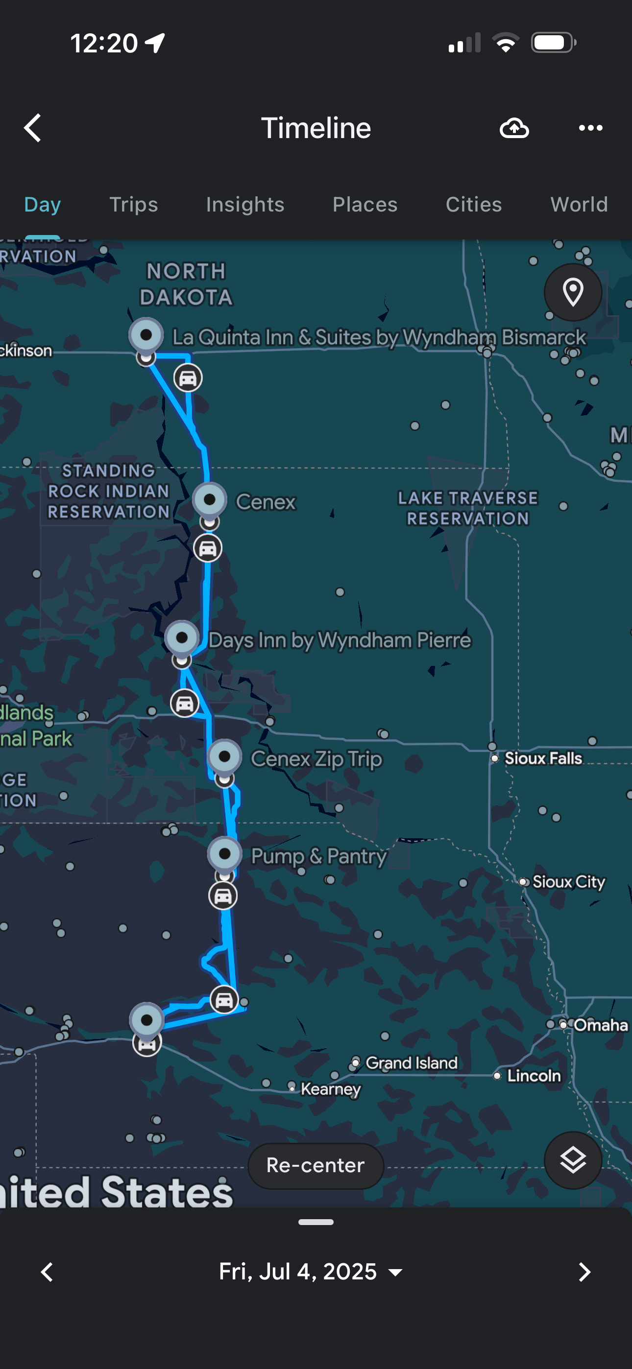 |
| This is the route we took. |
Back to Storm Chases | Home