July 1, 2025 Severe Storms
South Dakota and Nebraska
The third day of Tempest Tour 9 brought a slight risk of severe storms over parts of western Nebraska and southwestern South Dakota. There was no significant tornado risk. Being in Alliance, we were already in a great spot to await development of storms, so we had some time to kill. We decided to visit a couple museums around Alliance.
The first stop was Carhenge. After we had spent about an hour there, we drove back into town to grab some lunch at Dairy Queen, and then, given no towering cumulus had developed at lunch, we visited Dobby's Frontier Town, a mockup of what Alliance looked like during the frontier days (maybe late 1800s). The buildings were genuine, and they had been moved there by someone who dedicated a lot of time and effort to show the town history.
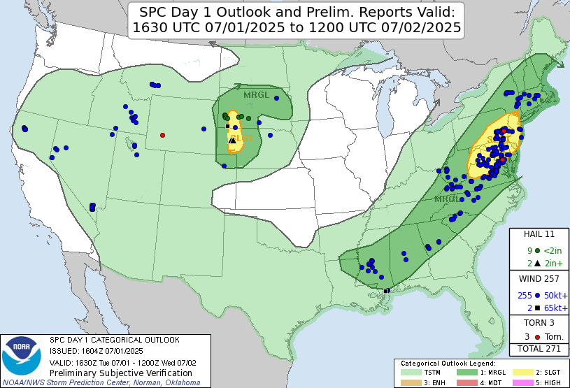 |
| Storm Prediction Center 1630 UTC Day 1 convective outlook with verification. |
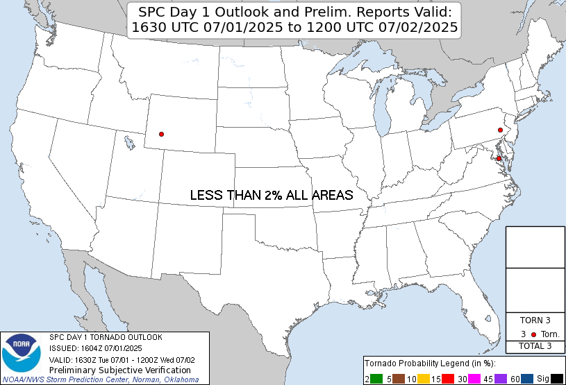 |
| Storm Prediction Center 1630 UTC Day 1 tornado outlook with verification. |
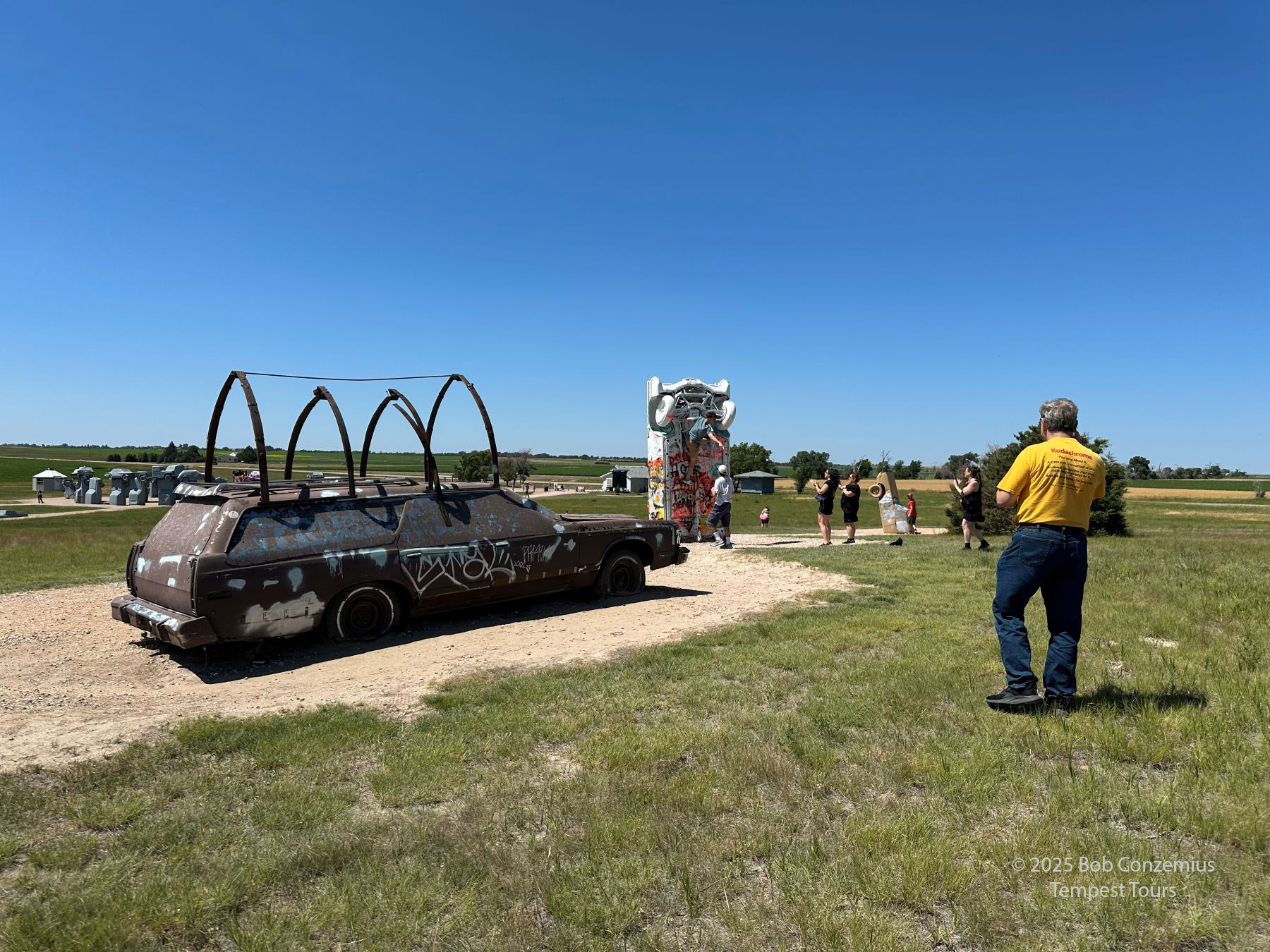 |
| Carhenge near Alliance, Nebraska. |
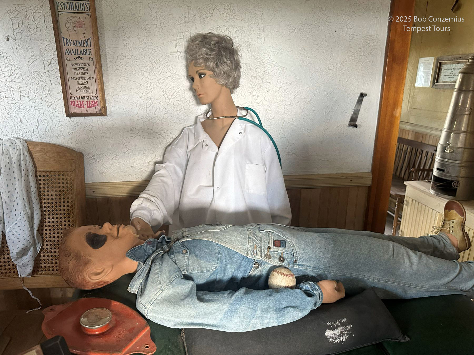 |
| An antique medical office display at Dobby's Frontier Town. |
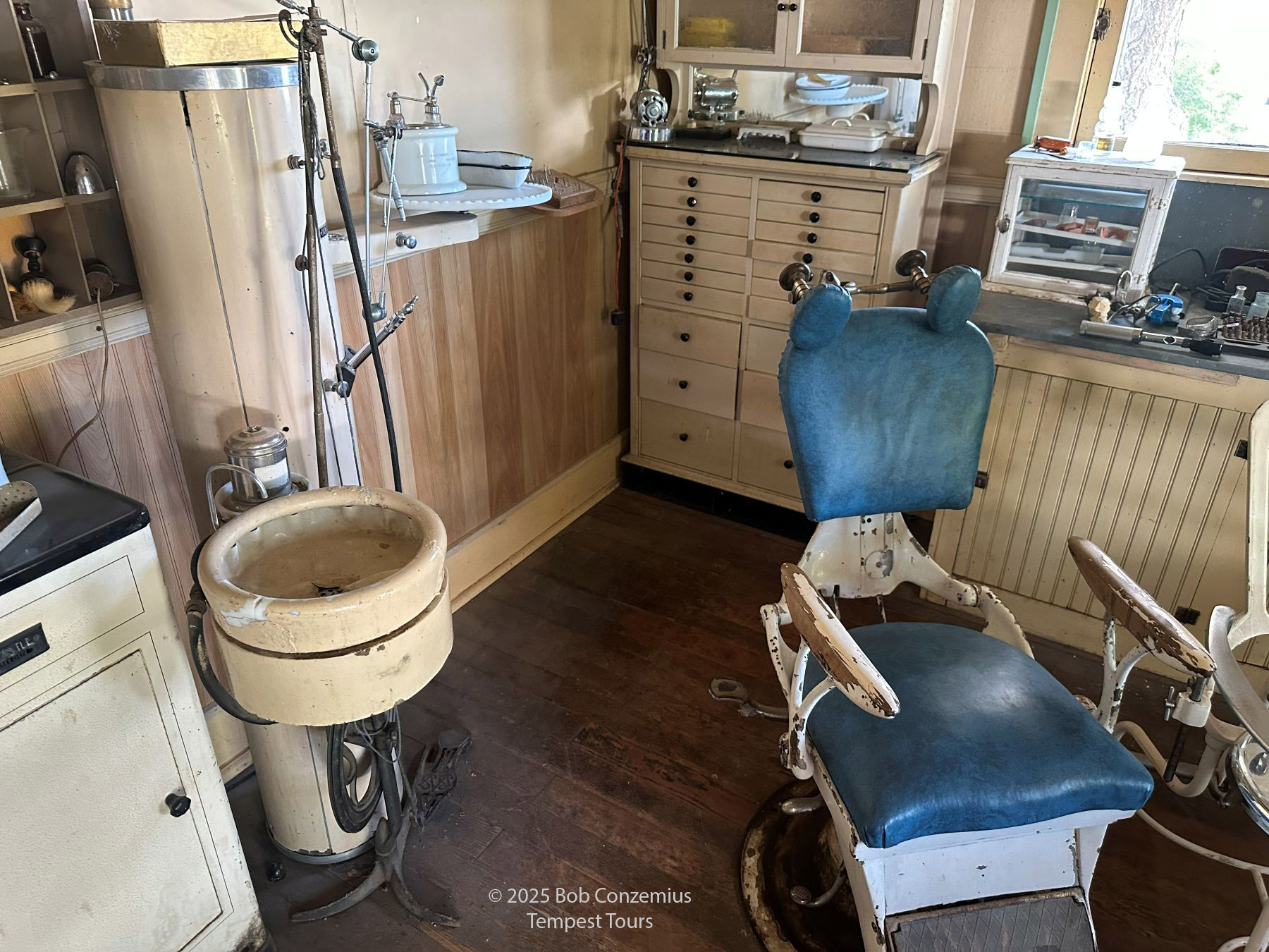 |
| Display of an old-fashioned dental office. Somehow, this looks painful. |
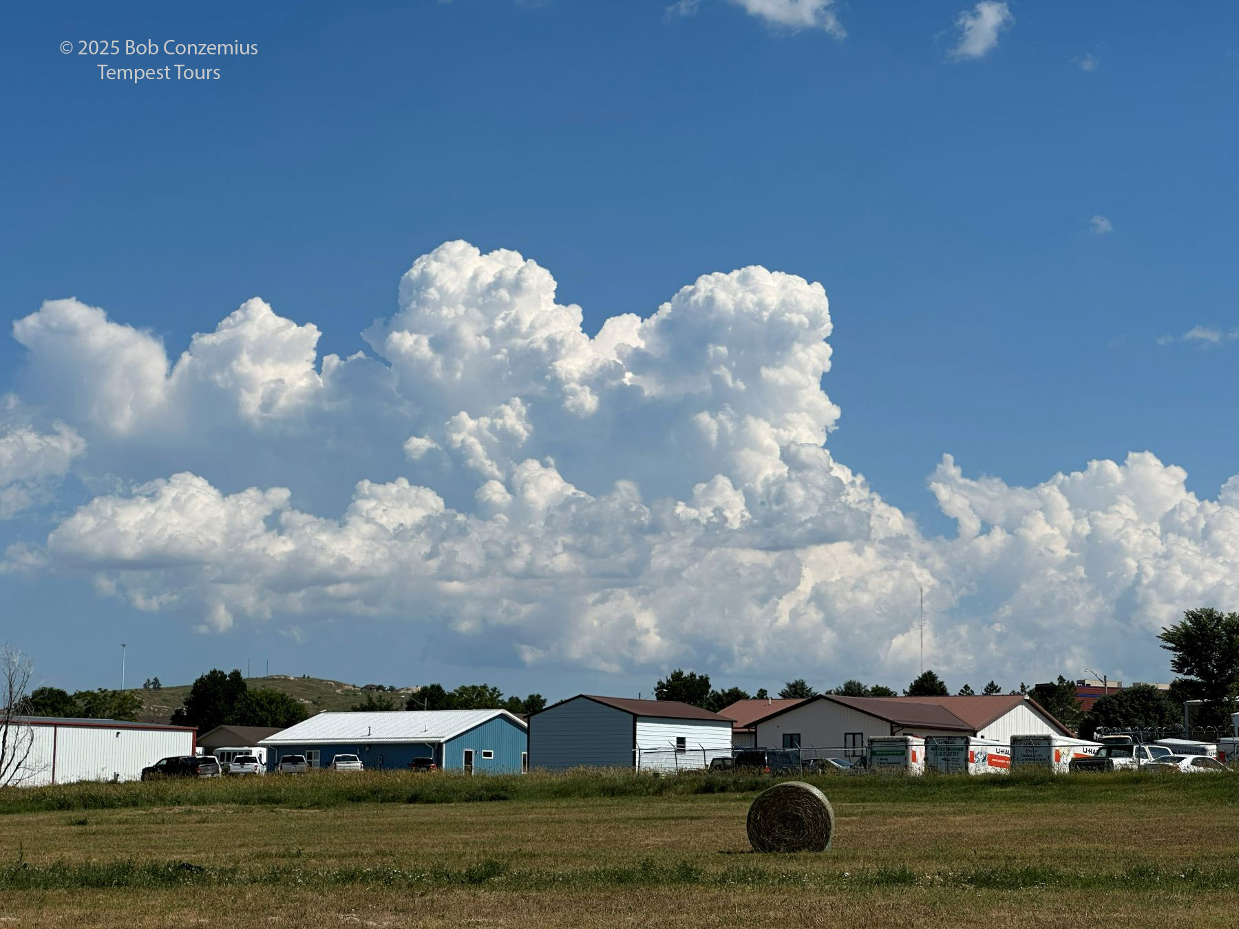
When we finished our museum visits, there still weren't any clear targets. There were some cumulus south of town, but there were also some to the north, and there were storms developing over the Black Hills (the last of these is a nearly certain bet in the summer). We drifted north in search of something that would develop into a storm, and we quickly found ourselved back in Chadron, where we had been a couple days earlier. The towering cumulus in Chadron were bigger than those farther south, but they didn't look very menacing, so we just elected to head toward the Black Hills and wait for one of those storms to come out onto the plains.
 |
| We found ourselved back at Chadron, waiting for storms to develop out of this cumulus field. |
 |
| Looking north from Chadron, we could see storms over the Black Hills of South Dakota. |
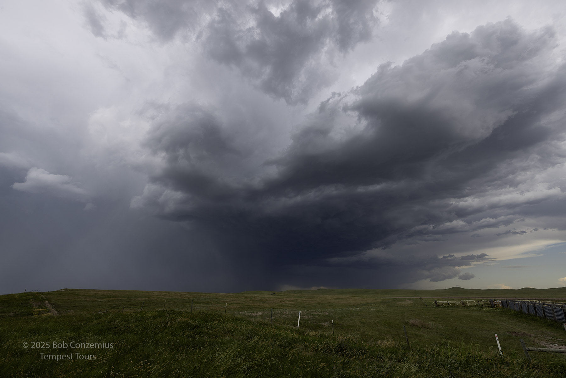
We drove up U.S. 385 to U.S. 18 to South Dakota Highway 79 through Buffalo Gap. We found a storm north of Buffalo gap and stopped to observe it for a while. It was apparently not too impressive because I didn't take any pictures. We watched the storm pass to our north. East of 79, the road network is not good, so we drove back to Oelrichs and took Highway 18 east toward Pine Ridge. I took a couple photos along the way as the storms were beginning to look a little more photogenic. We made a brief pit stop in Pine Ridge then dropped southward into Nebraska. We made another photo stop south of Pine Ridge and then a bit farther south in Nebraska.
 |
| Somewhere over South Dakota, probably west of Pine Ridge. |
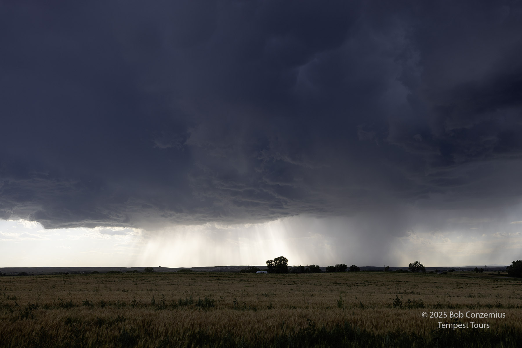 |
| Probably just south of Pine Ridge. |
 |
| Northern Nebraska. |
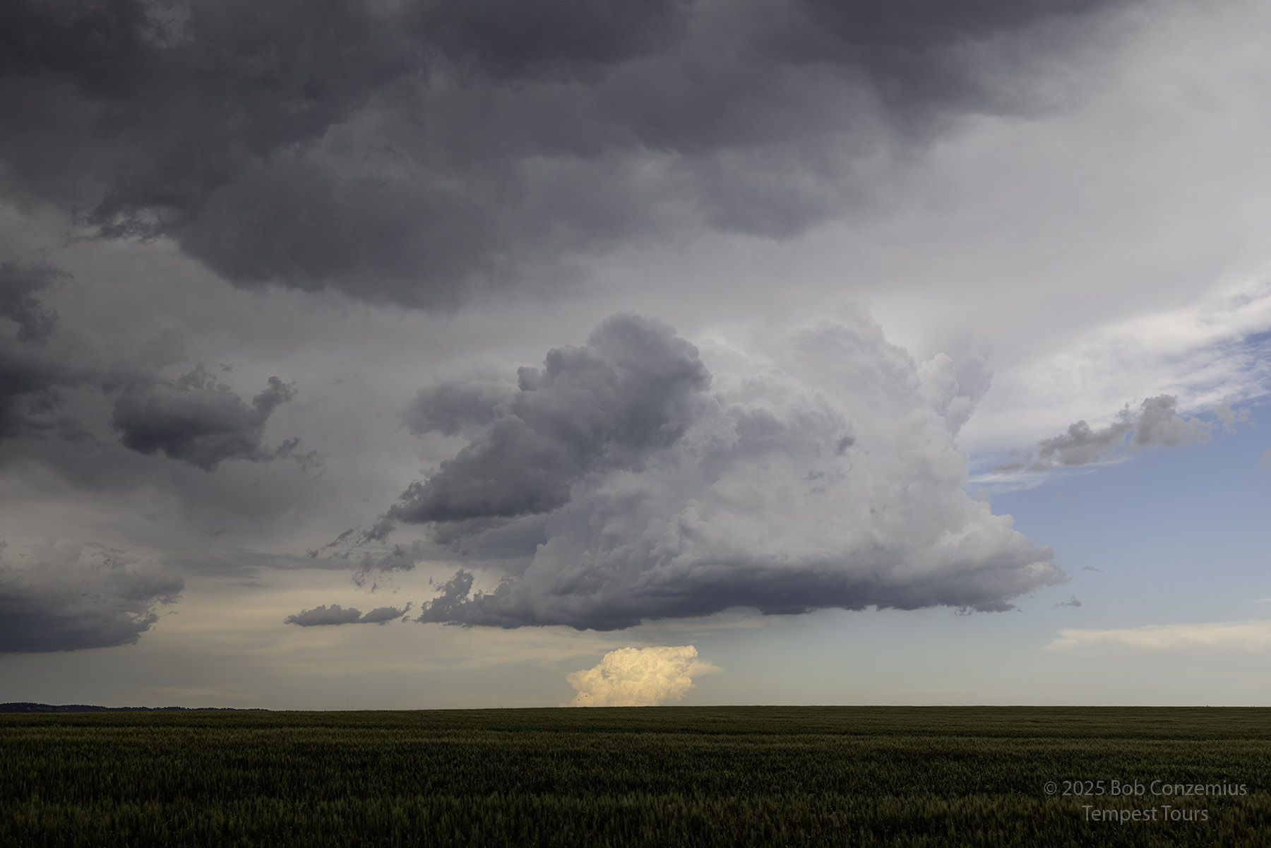
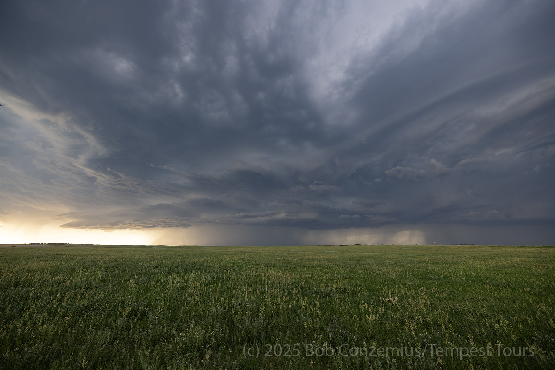
We stopped north of Rushville to take a few pictures when the storm was at its most visually impressive.
 |
| Northern Nebraska between Pine Ridge, SD and Rushville. |
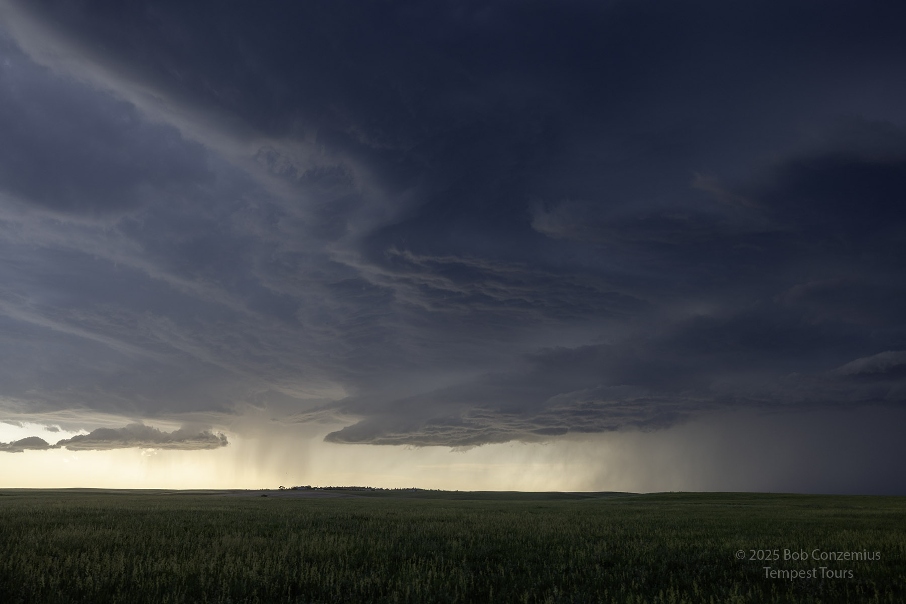
 |
| Canon R5 image looking east at the same scene. |
 |
| Looking north from the same location. |
 |
| A minute later, the storm is getting closer. |
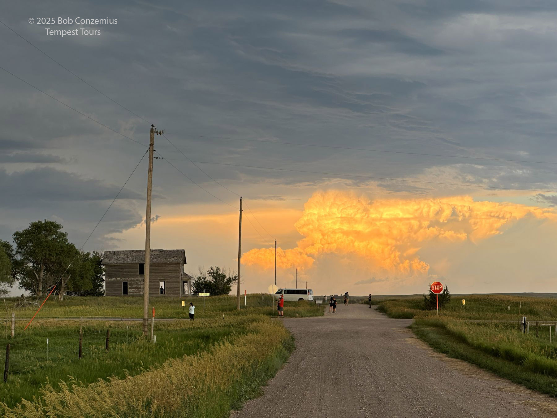
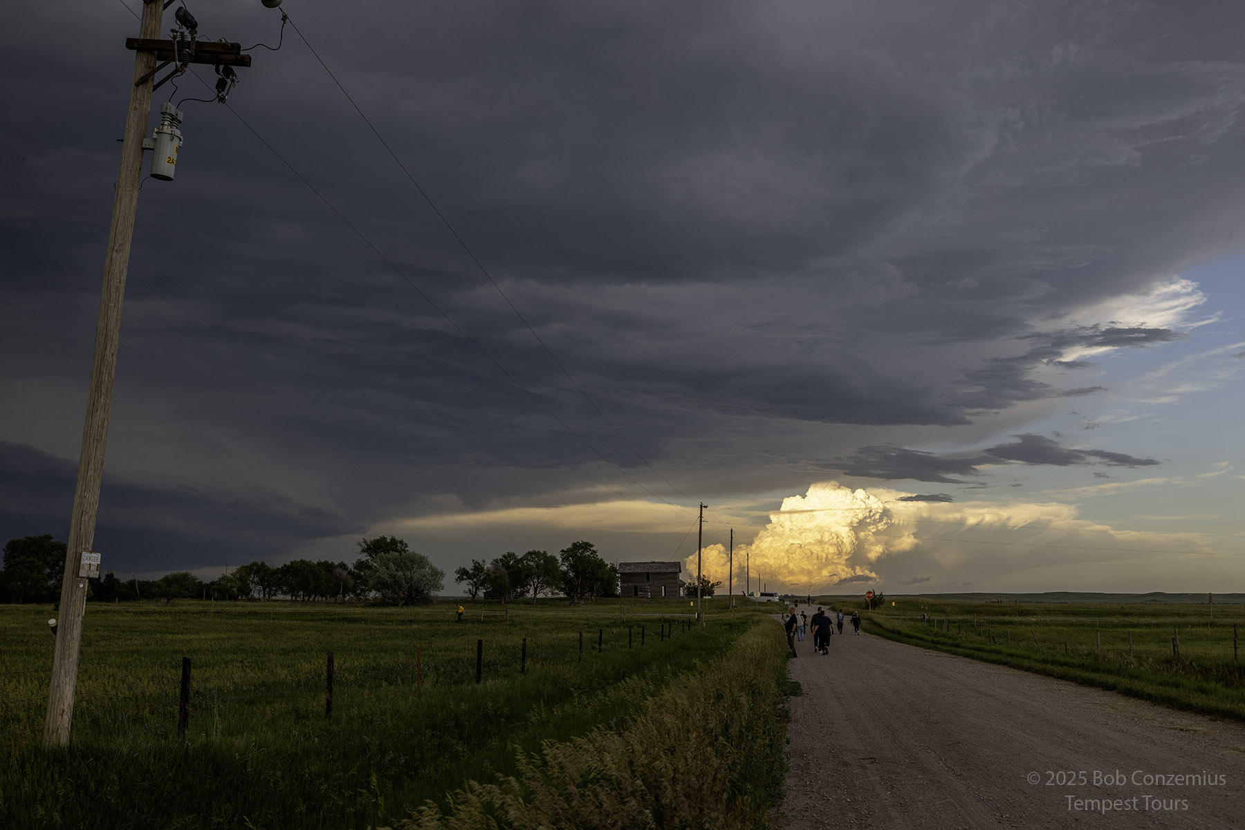
We made a pit stop in Rushville and then headed a couple miles west to pull over and enjoy the storm as it approached. We decided to let it roll over us and then find a place to stay for the night. As it approached, the sun started shining through the rain, creating an enjoyable scene. We got out of the vans after the rain passed, took a few pictures of the sunset and rainbow, then headed for Valentine to stay the night.
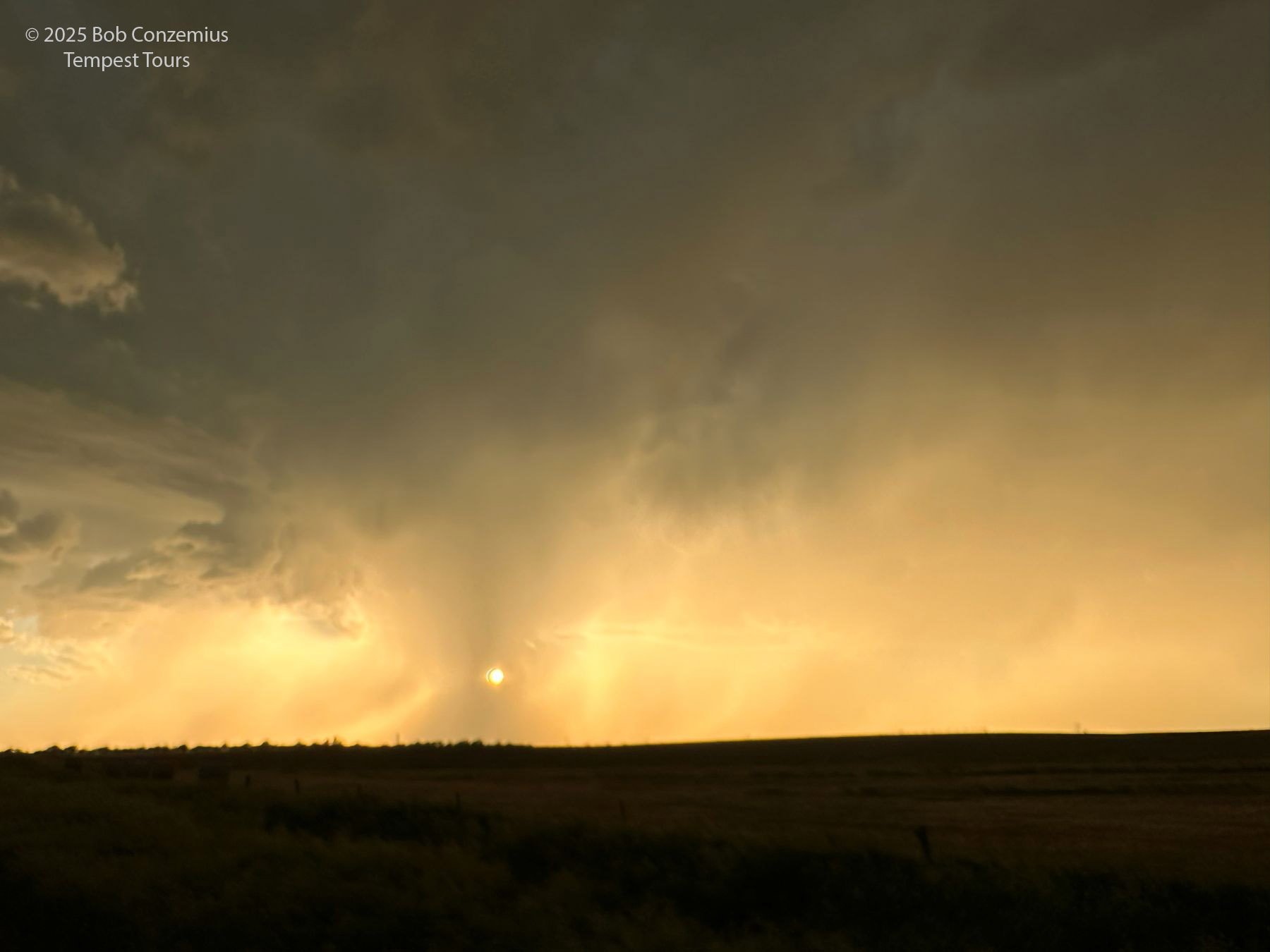 |
| Sunset through our storm. |
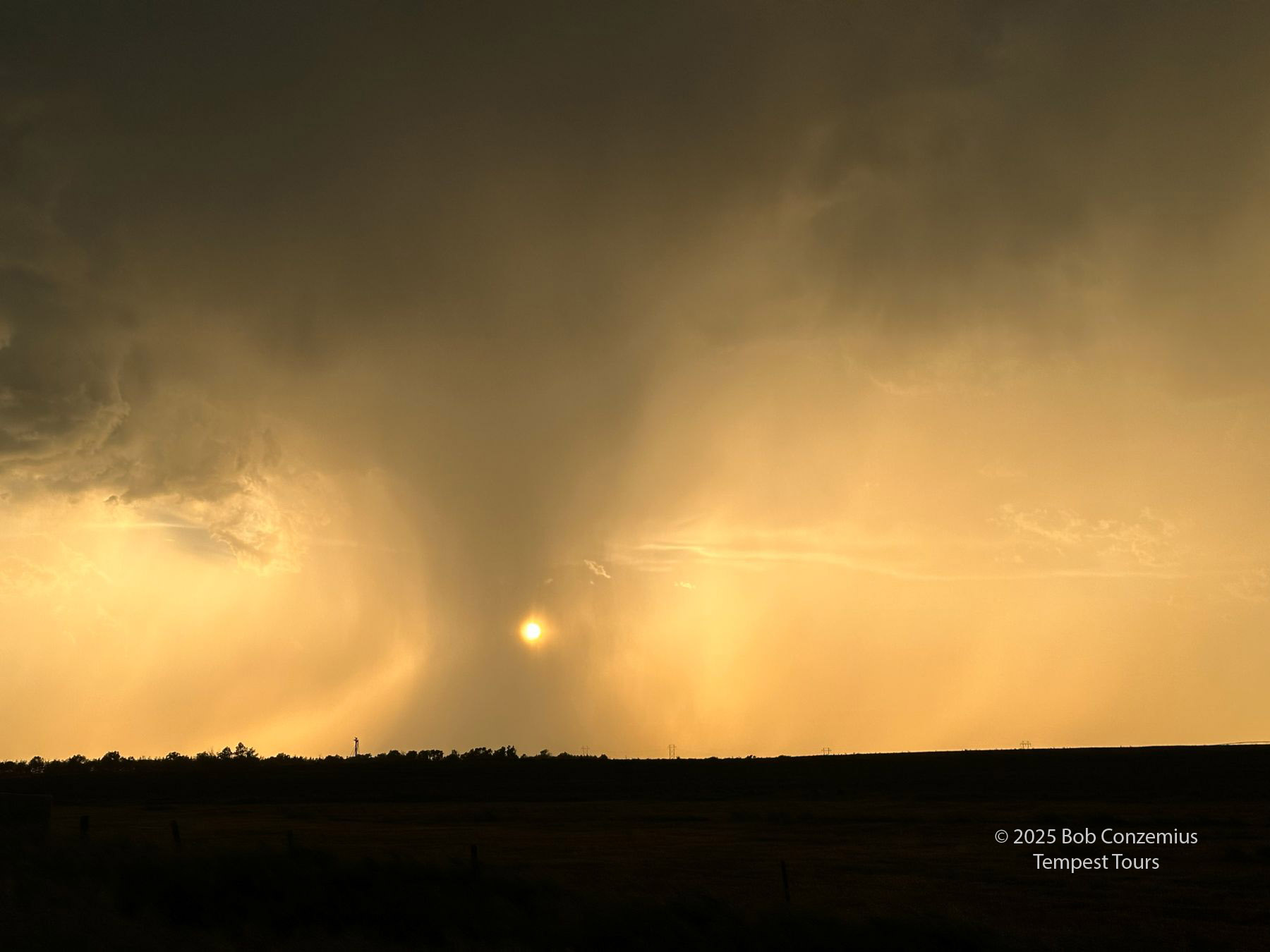 |
| Zooming in more on the sunset. |
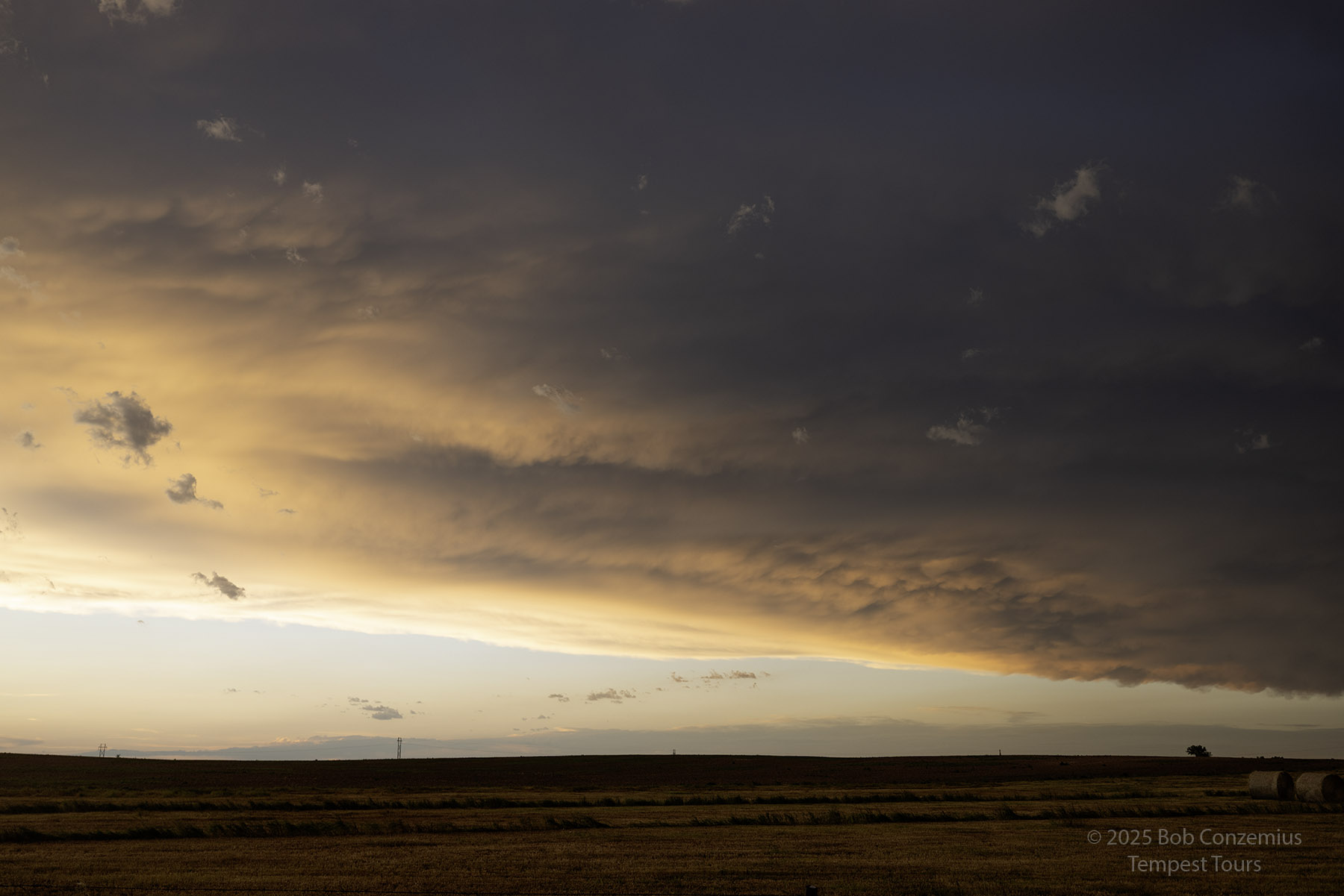 |
| The storm has passed, and the sunset illuminates the underside of the clouds. |
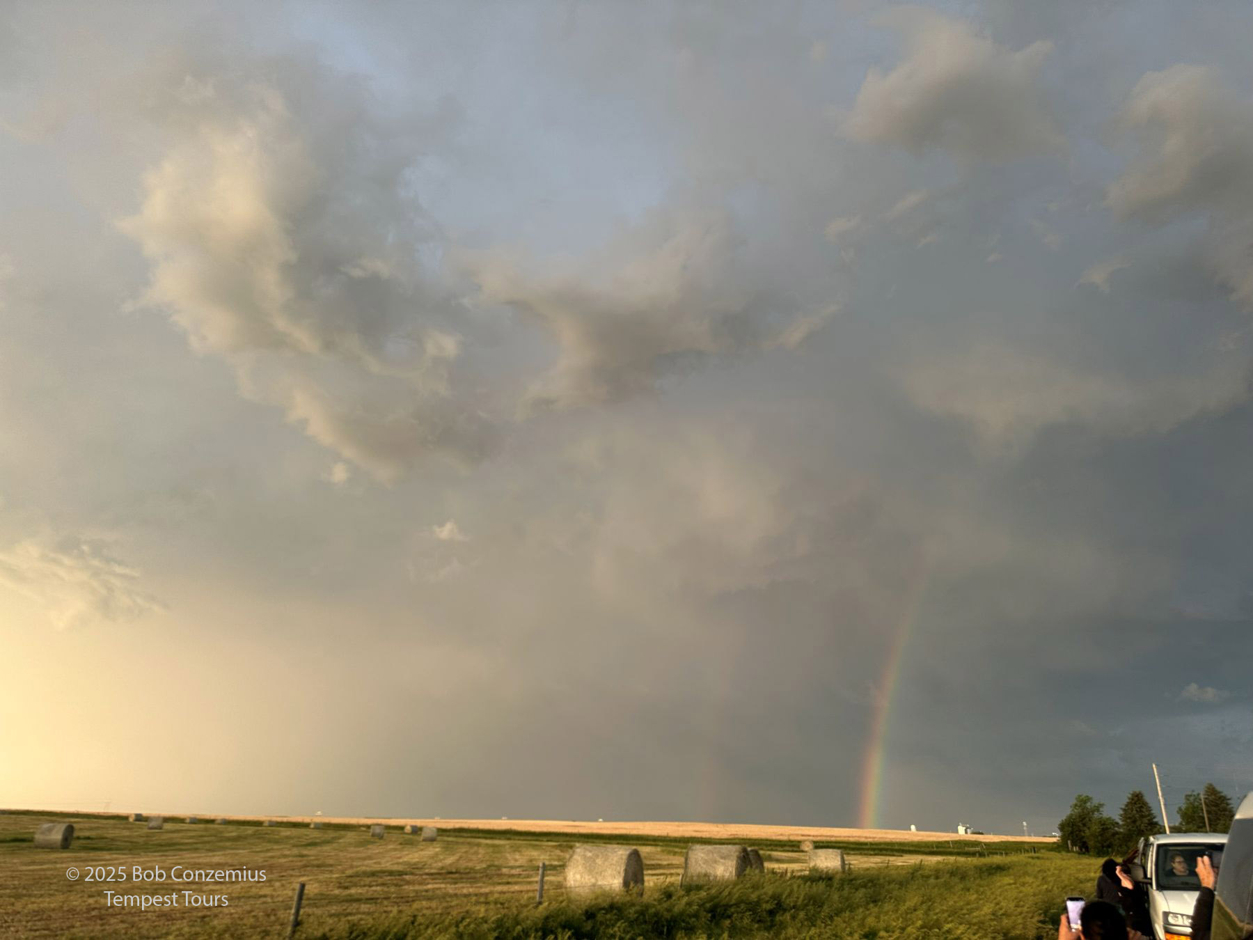 |
| Looking to our east at the rainbow. |
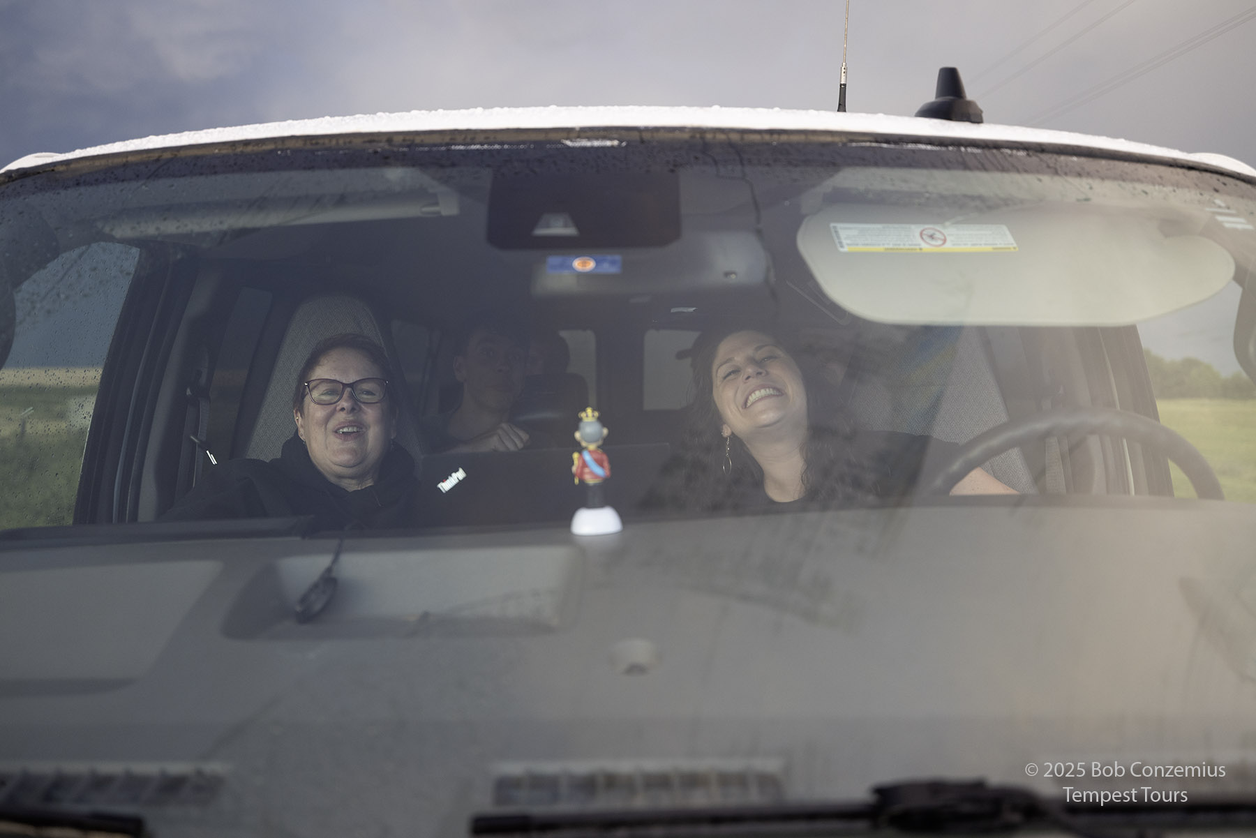 |
| Happy van occupants. |
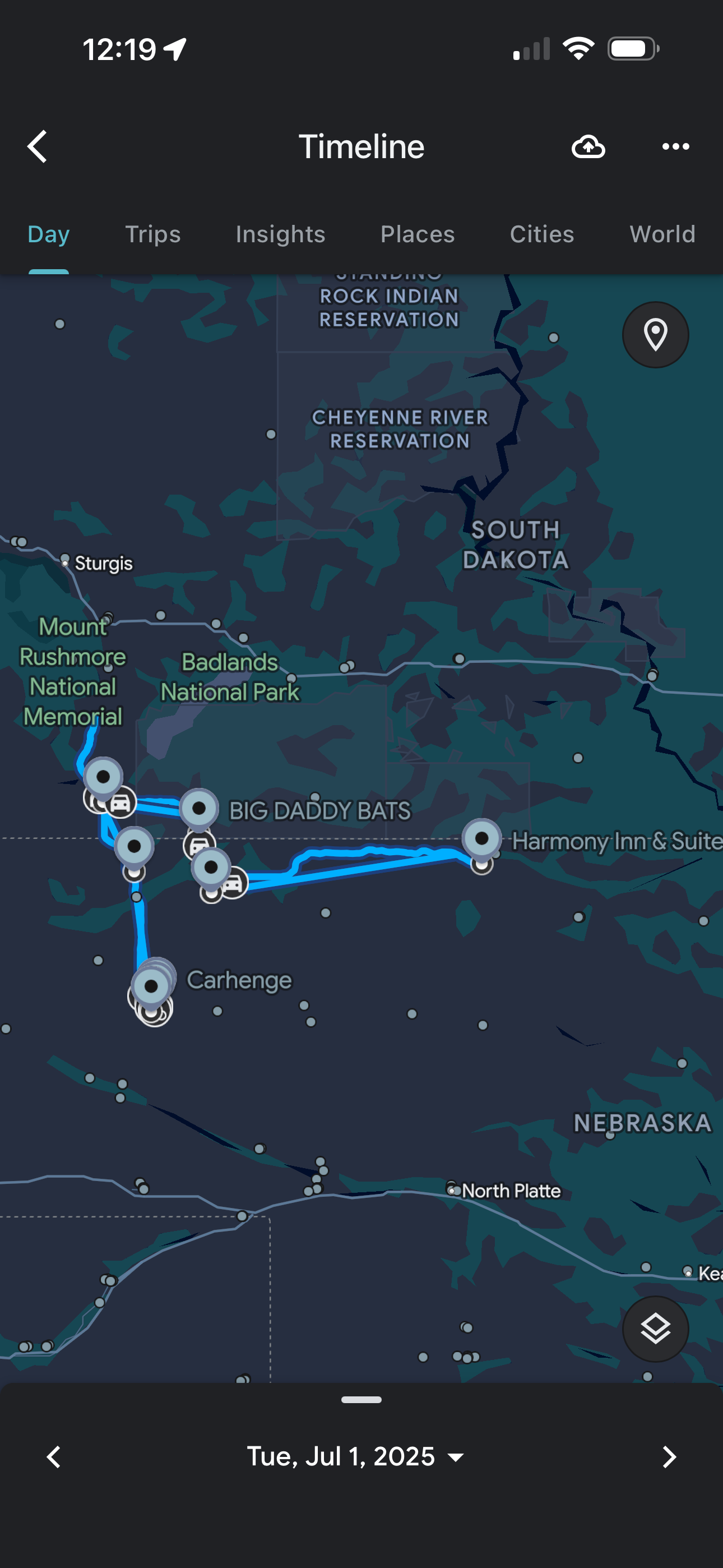 |
| This is the route we took. |
Back to Storm Chases | Home