May 17, 2025 Storms
Texas and Oklahoma
Today was the first day of Tempest Tours Tour 4B. There was an enhanced risk of severe storms over parts of Oklahoma and Texas! It looked like an active day to start the tour. However, the area of greatest risk was not in good chase territory. The slight risk extended into northwestern Oklahoma, which is a great area to chase. Given that the 5% tornado threat extended there also, we decided northwestern Oklahoma would be the best target for us. We met our group at the hotal in Oklahoma City and began our tour driving westward on I-40.
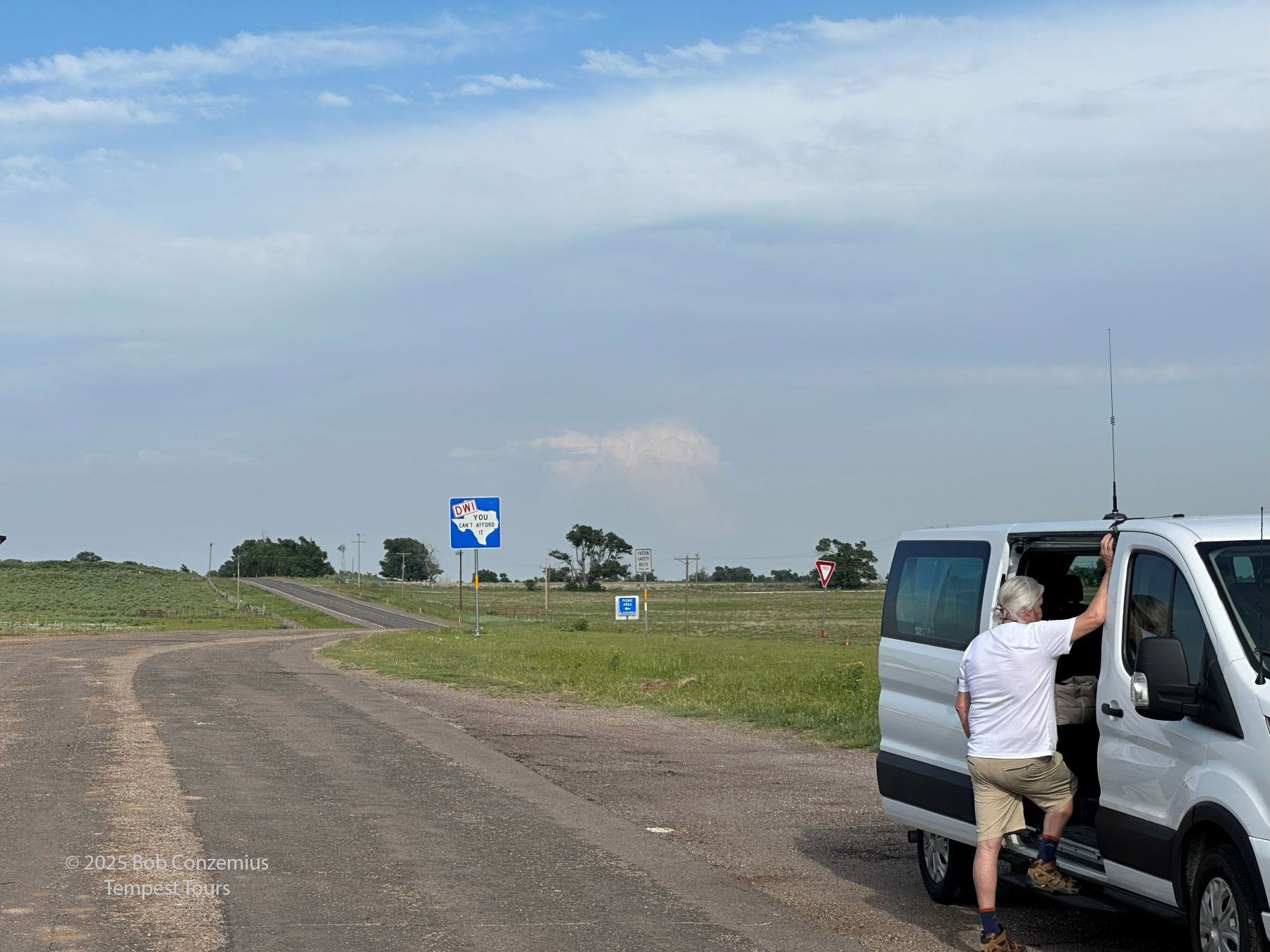
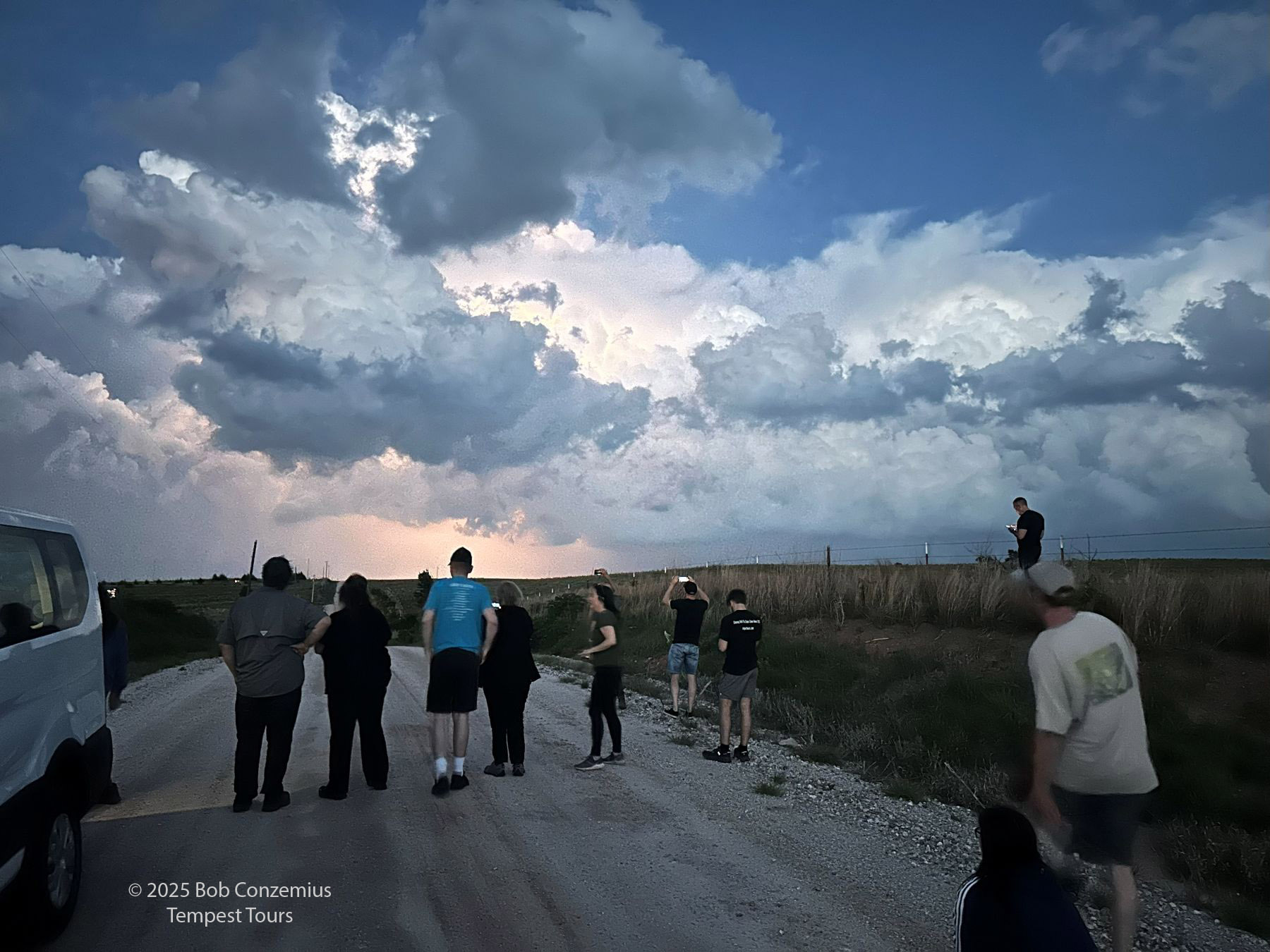
As it turned out, the strongest storms happened back towards Oklahoma City and Ada, OK. When we got to our target, there really wasn't a lot going on. Some storms developed in the eastern Texas Panhandle south of Canadian and moved into Oklahoma, but these were not that strong. We followed them until sunset and enjoyed a lightning show just after sunset.
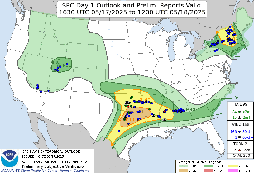 |
| Storm Prediction Center 1630 UTC Day 1 Outlook. |
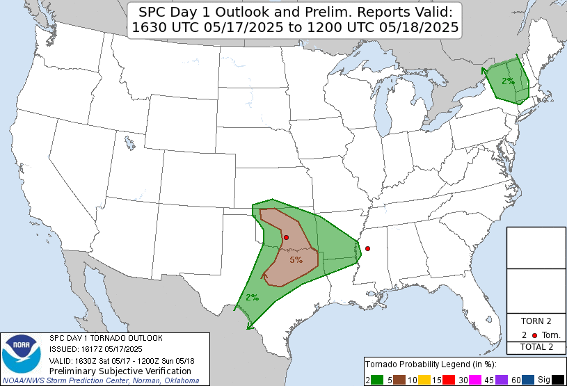 |
| Storm Prediction Center 1630 UTC Day 1 Outlook. |
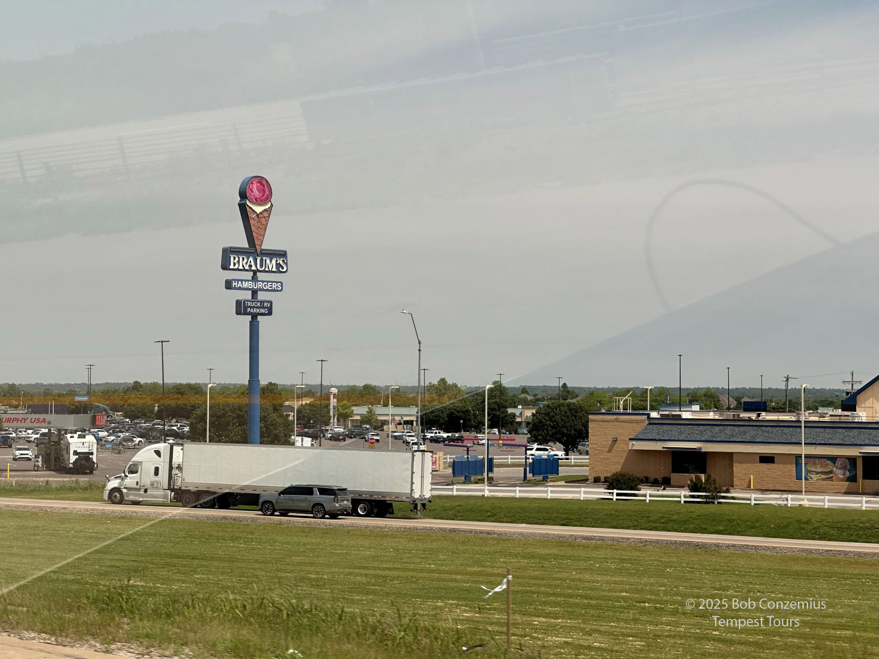 |
| No visit to Oklahoma is complete without a stop at Braum's. |
 |
| As we cross into the Texas Panhandle, the first storms develop far to our east near Oklahoma City. |
 |
| This storm developed to our west, near Canadian, TX. |
 |
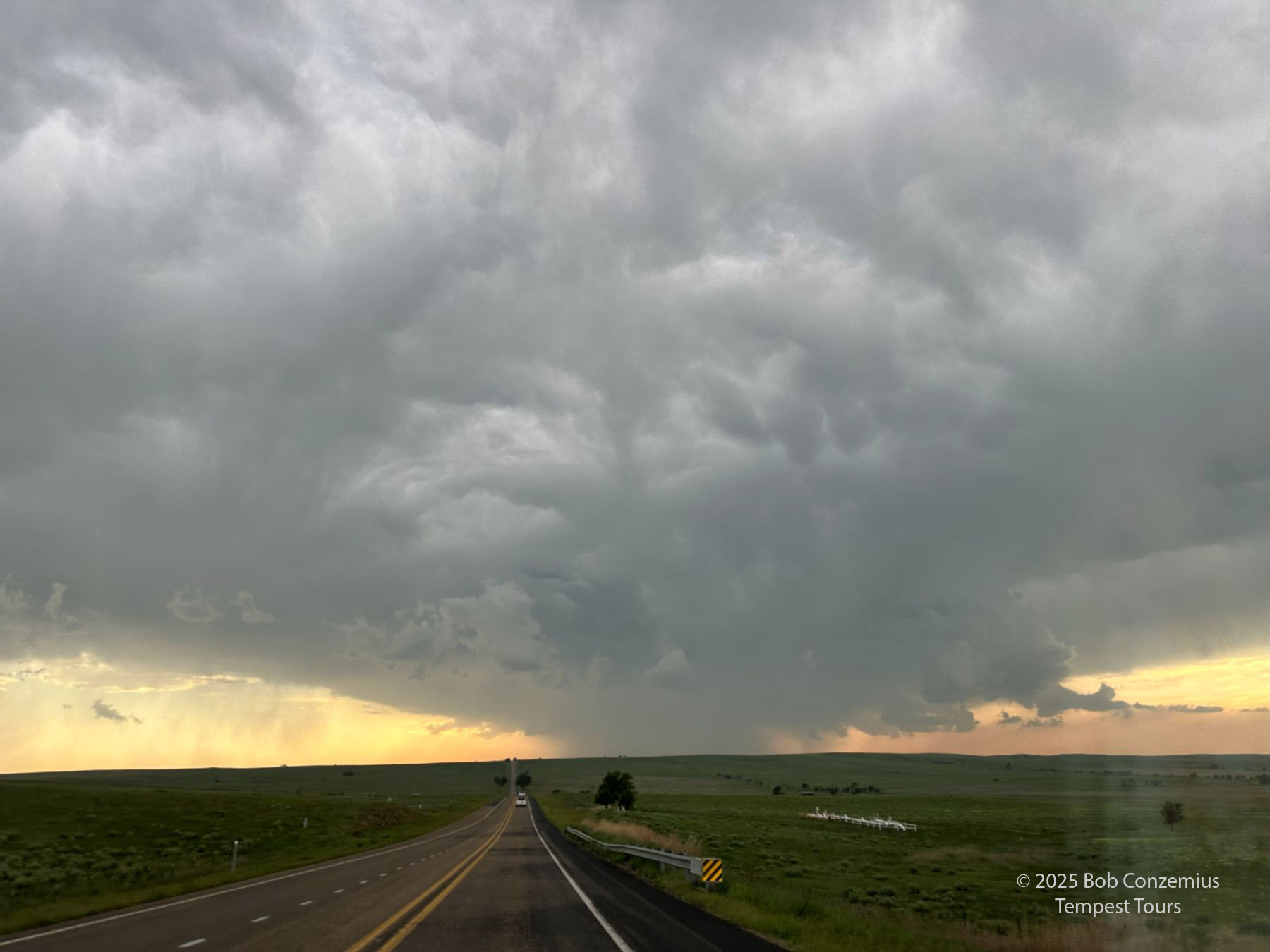
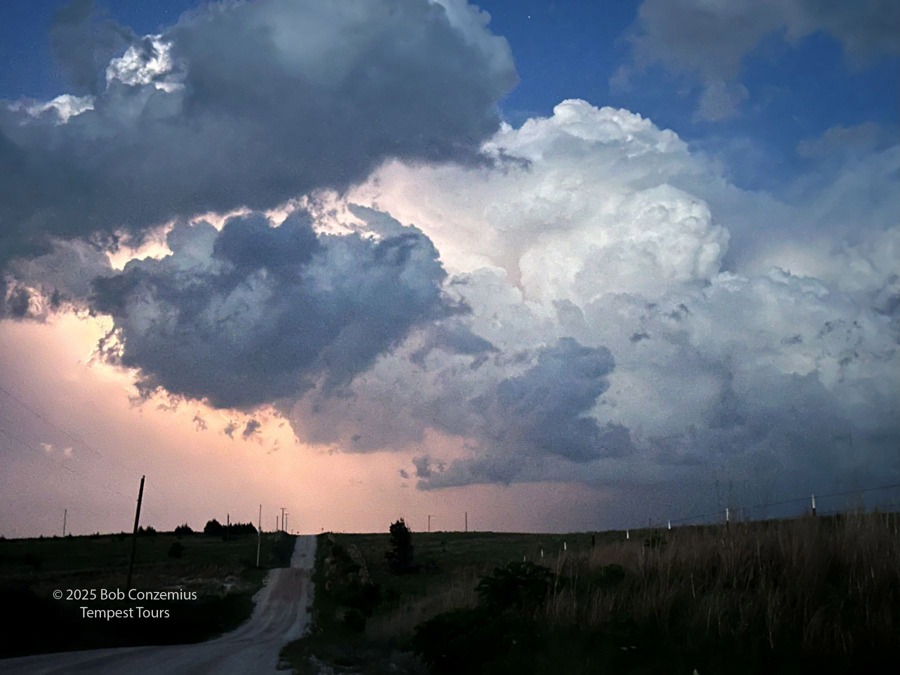
| Our storms were not very organized. This picture was taken on TX 33 southeast of Canadian. |
 |
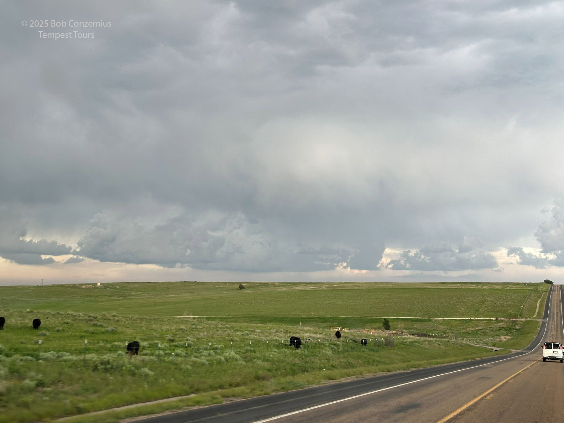
| Back in Oklahoma, on Highway 47 between Roll and Leedey. |
 |
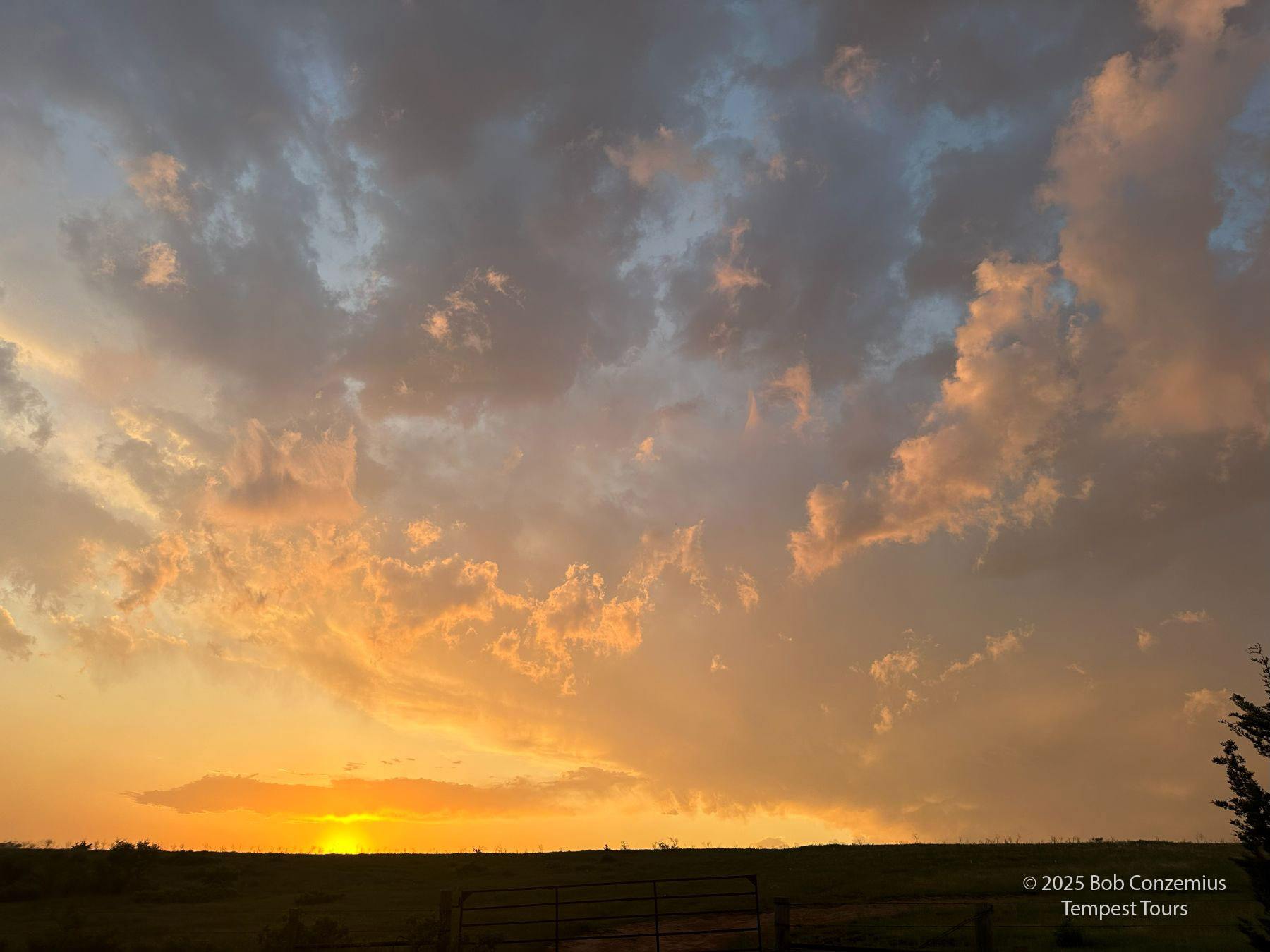
| Evening lightning show south of Vici. |
 |
| Evening lightning show south of Vici. |
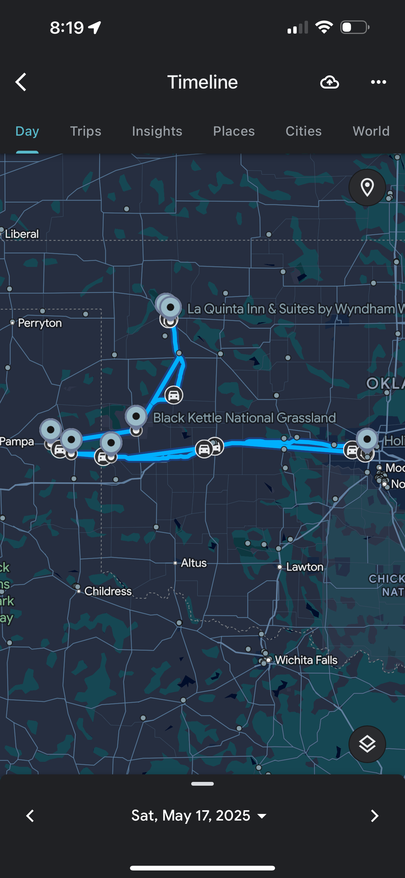 |
| Our route, taking us into the Texas Panhandle then back into Oklahoma. |
|
| Storm Prediction Center 1630 UTC Day 1 Outlook. |
Back to Storm Chases | Home