April 9, 2024 Supercells
Austin, Texas
We had just seen the eclipse the day before, and the chase later that day took us to Tyler, Texas, where we experienced a lot of storms overnight. One lightning strike hit close to the hotel and knocked out half of its electrical system. This meant we had no hot water, so I took a cold shower in the morning (no problem since I swam in White Bear Lake on Christmas Day, and I take saunas and the jump into a hole in the ice). There was a bit of flooding in the area because there had been up to six inches of rain overnight. To see decent storms today, we would have to get south and west out of the big cold pool we were in.
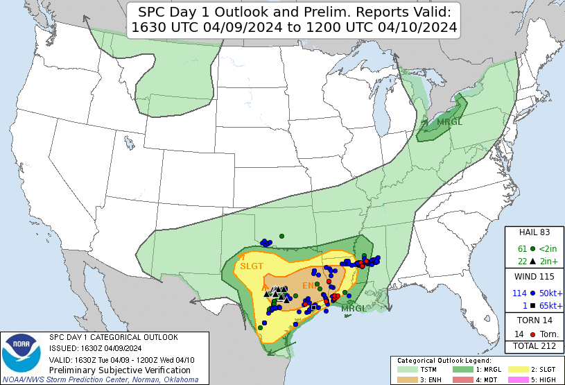 |
| SPC forecast overlain with reports. |
With the hope of getting south of the line of storms to make for an easier drive, we drove straight south out of Tyler to Jacksonville then drove west-southwest on U.S. 79. This did not get us into pristine, humid air, but we were at least south of the heavy rain. Eventually, 79 took us south of the outflow boundary, too, but we skirted it for a bit and had a nice view of a couple shelf clouds and a beautiful "whale's mouth", which is the underside of a shelf cloud.
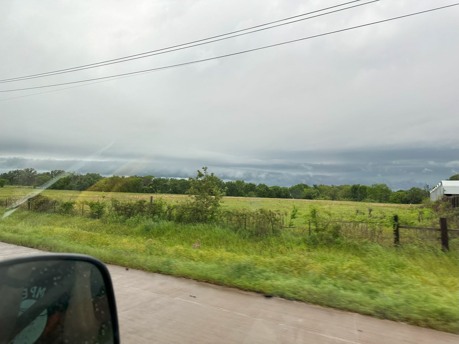 |
| Shelf cloud on a storm near Palestine, TX. |
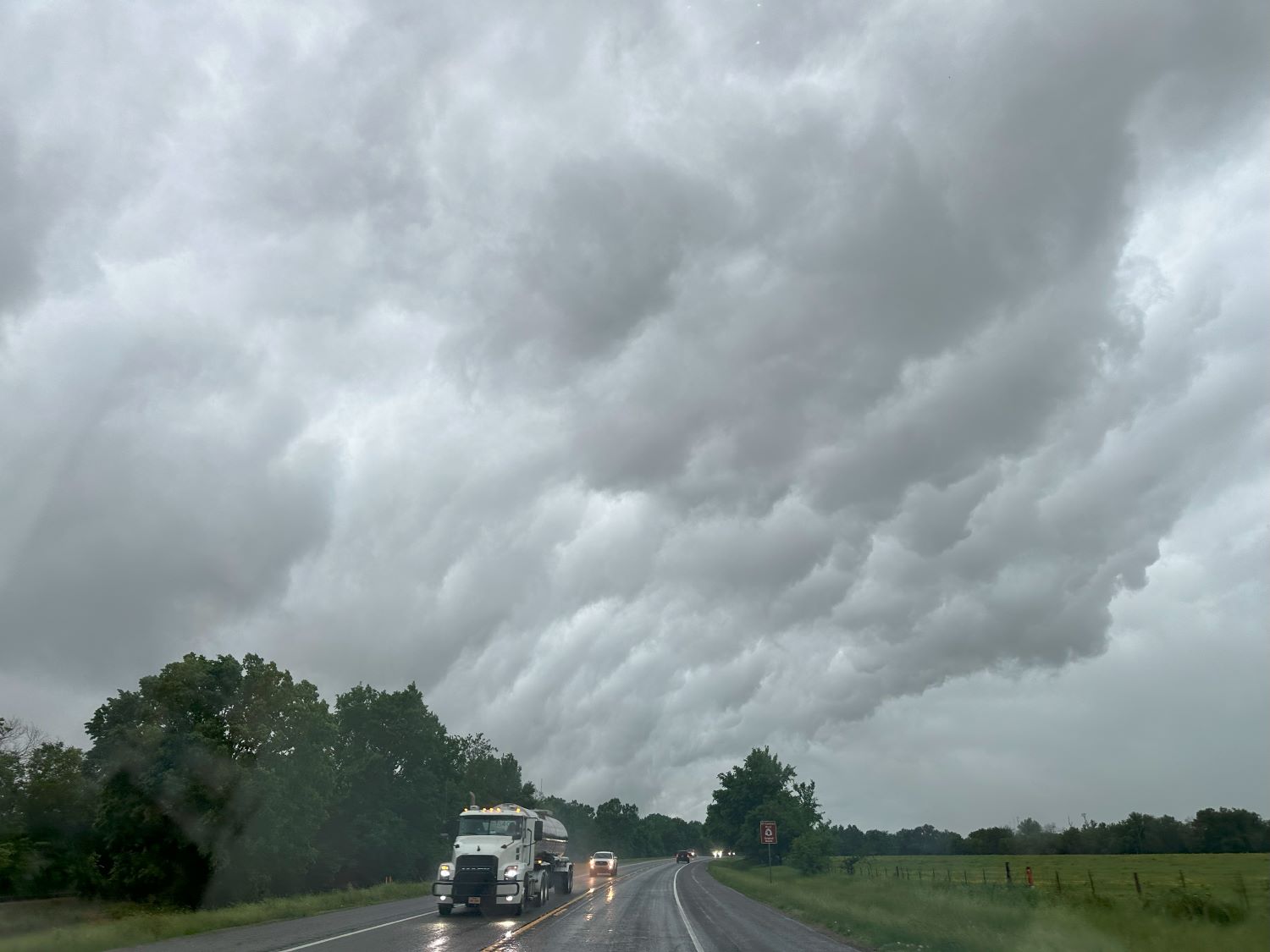 |
| Whale's mouth near Franklin, TX. |
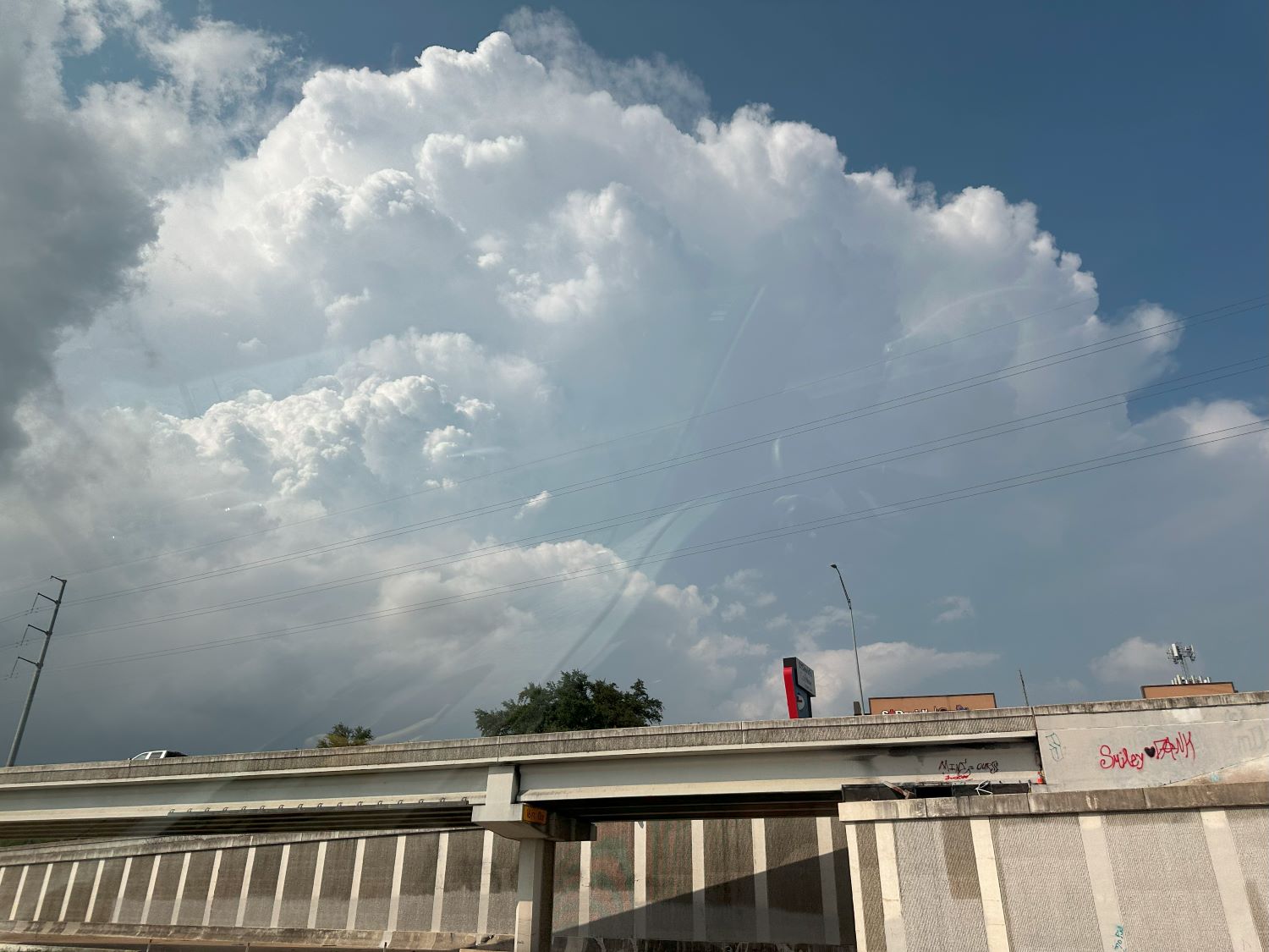
By the time we got close to the Austin area, the storms were no longer reinforcing the outflow boundary or driving it south. We found our pristine air near Round Rock, which is on the north side of the Austin area. We stopped at a collection of fast food restaurants to have a late lunch while the cumulus along the outflow boundary became cumulus congestus. By the we were eating lunch, a small storm had developed west of Austin. This was the target storm since it would likely move east along the boundary.
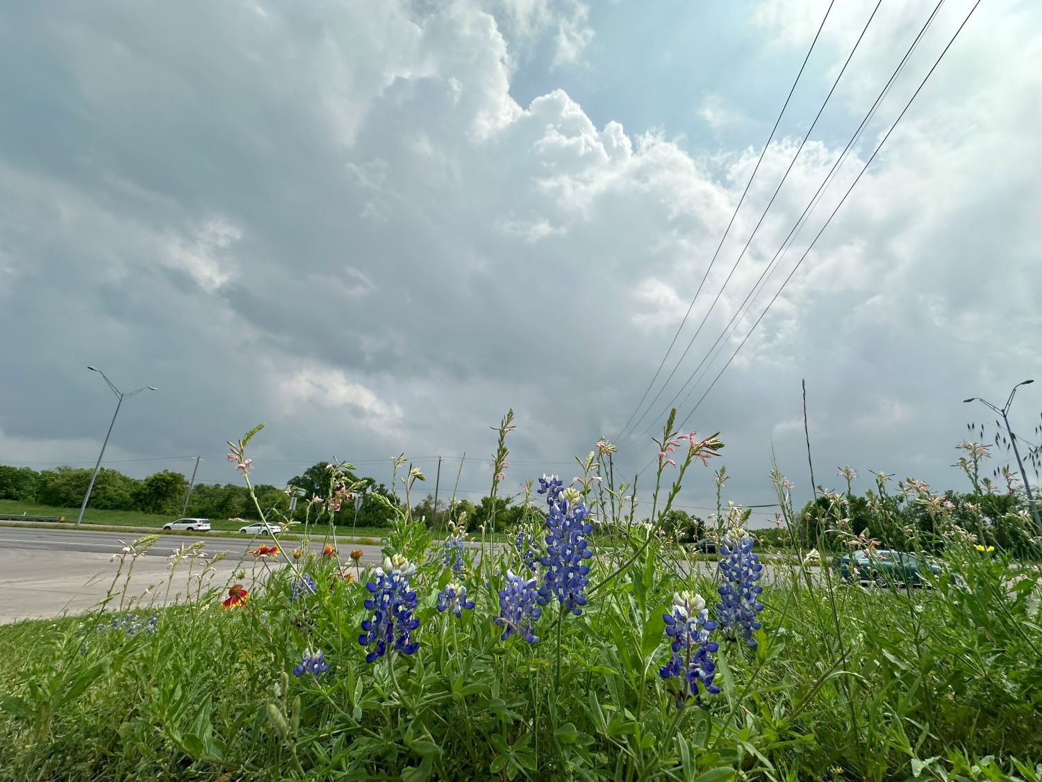 |
| Developing storm, west of Austin, viewed from Round Rock. |
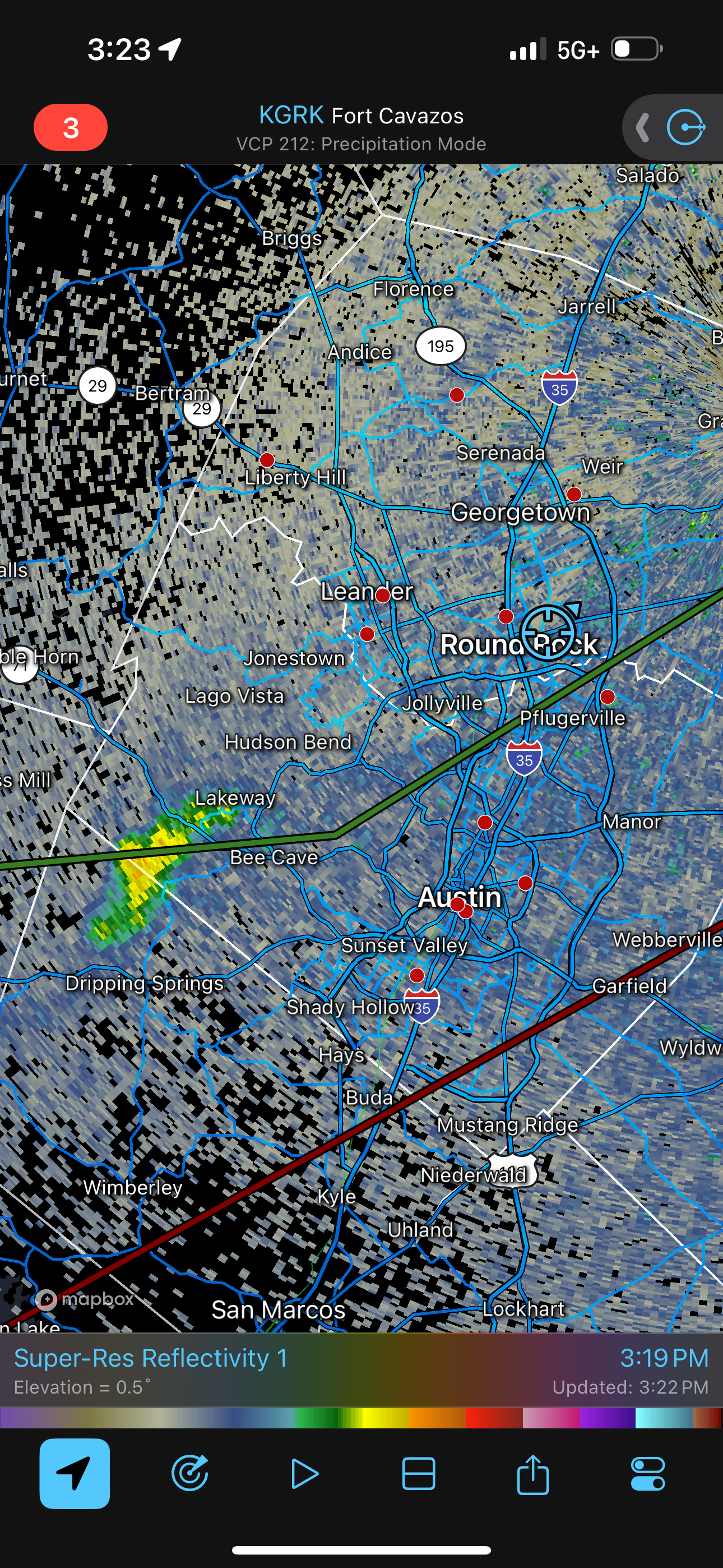 |
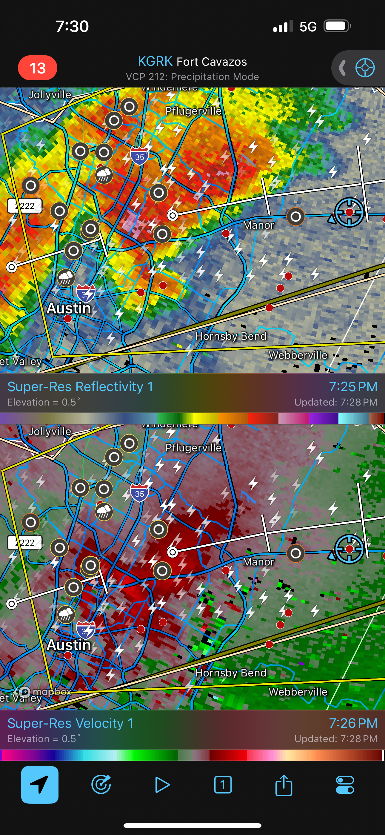
| Early radar image of the storm. |
The boundary was sagging south slightly, and we were getting back in low clouds, obscuring our view of the storm, so we needed to drop south a bit. We hopped on Texas Highway 130, which took us quickly south around the east side of the Austin area. We were able to get a good look at the anvil of the storm and, as we cleared the low clouds, the main updraft of the storm became visible, but the base was still too far away to see.
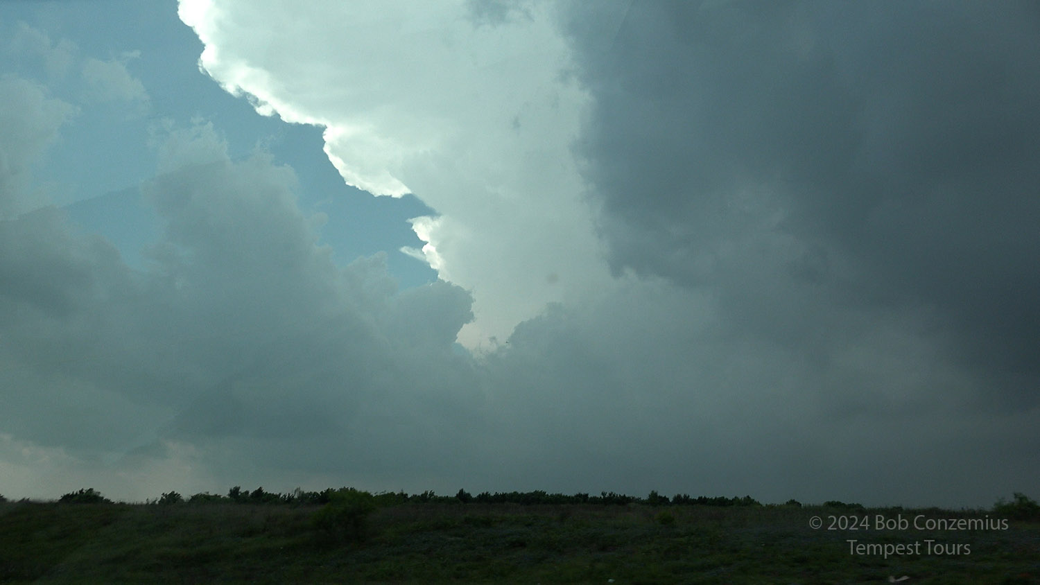 |
| Anvil on our target storm, viewed from TX Highway 130 north of the Tesla Gigafactory. |
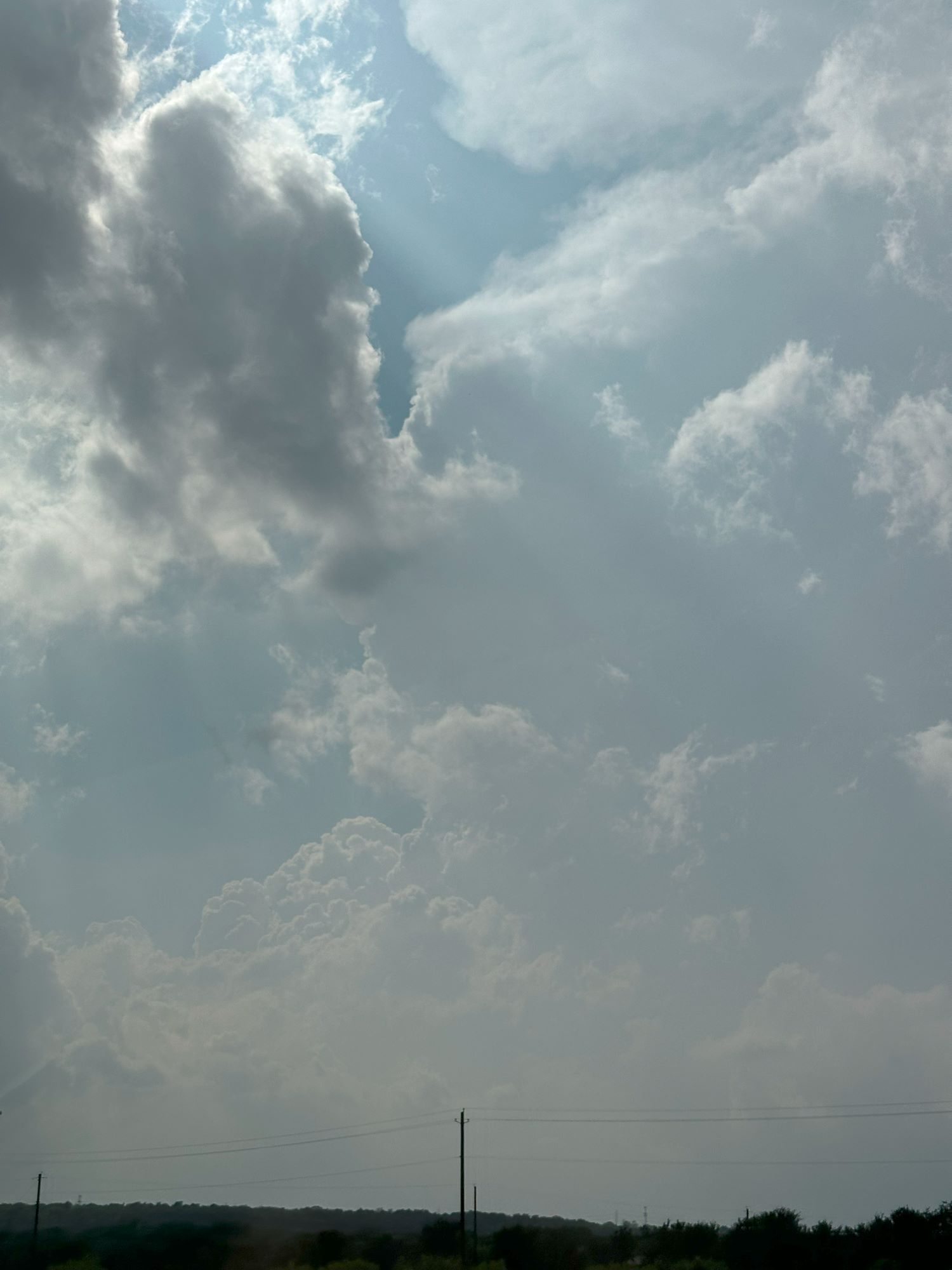 |
| Looking west at the storm updraft, north of the Tesla Gigafactory. |
We were now presented with the challenge of a storm that was on the opposite side of a major metropolitan area. It was late afternoon, and the traffic would be awful in Austin. I considered simply waiting for the storm to come to us, but it looked like that wouldn't happen. The storm was barely moving. I nervously decided we needed to make a foray into Austin in order to have a look at the base. I'd have to allow plenty of time to move back east because the traffic coming into town was moving much faster than the traffic exiting town, and we would eventually need to exit if the storm moved east.
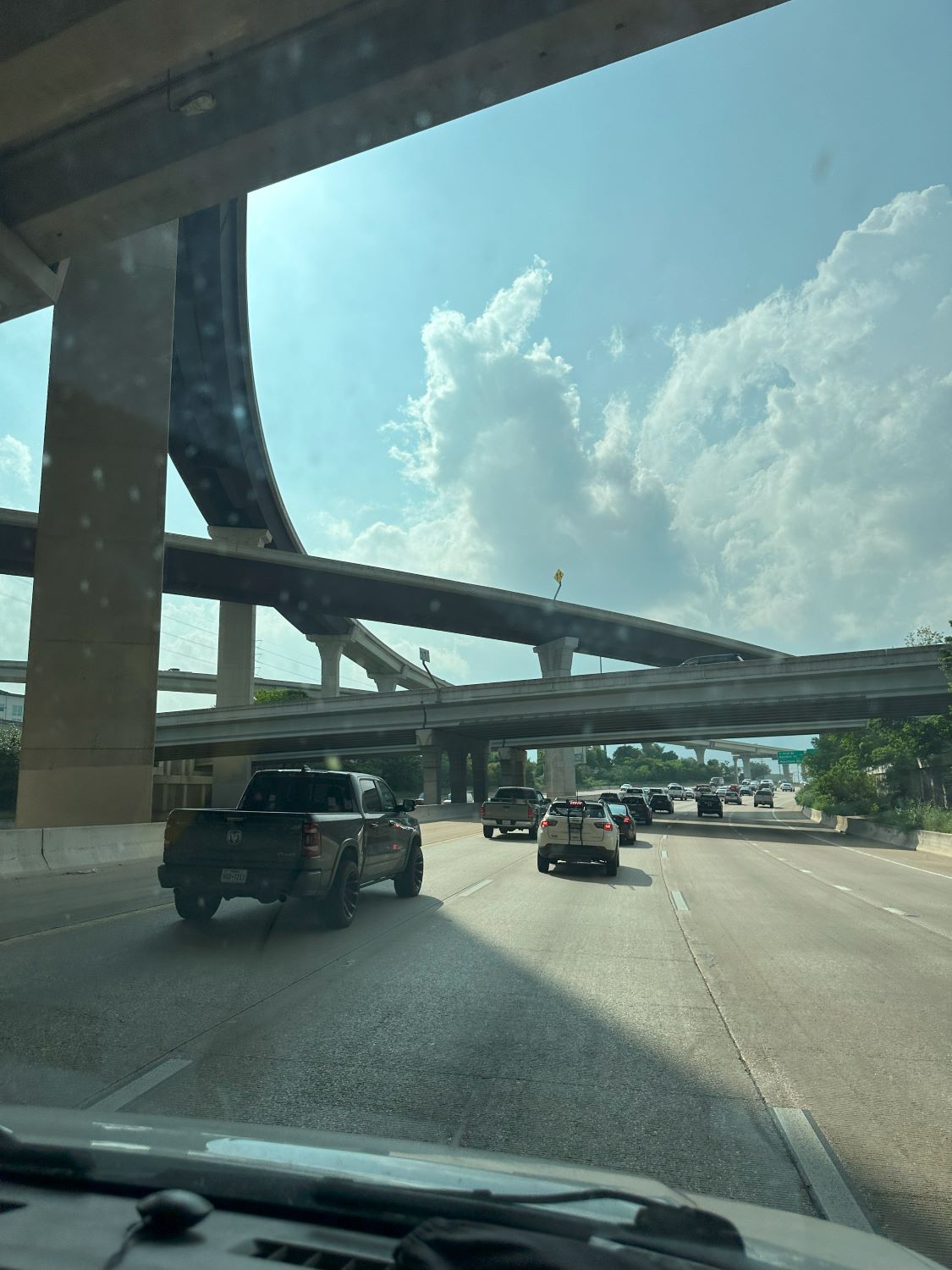 |
| Coming into Austin on 290/71. I wanted a look at the base, but traffic was bad. |
 |
| Exiting Austin after looking quickly at the base. No time for traffic jams. |
At about the time we were most deeply into Austin traffic, the storm began moving east. The original plan had been for the guests to get out and view for a few minutes, but I just directed Kim to turn around at an exit and start back east the way we came. It seem like a wasted effort, but at least we now knew what the storm looked like underneath. The next 15-30 minutes would be a bit anxious as the storm was now on the move, and we were not always moving.
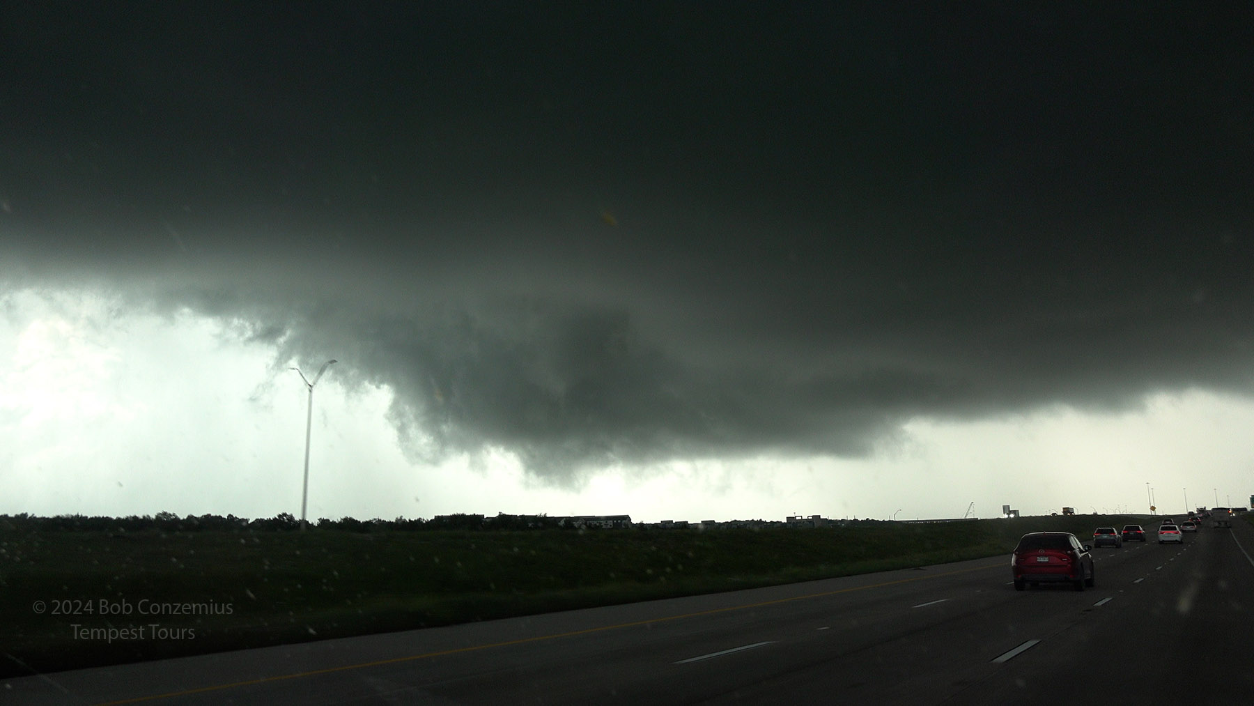
We were able to keep an eastward pace with the storm, and we got back to Highway 130, where traffic was still moving pretty fast, but it would be a tight squeeze for us reach our east exit before the core did. Along the way, a nice RFD sliced around the wall cloud area of the storm, and a tornado-shaped lowering formed on the southwestern flank of the updraft. However, as I stared at it carefully, I could see it was not rotating strongly, if at all. We got to our exit just ahead of the heaviest core of the storm.
 |
| Back north on TX 130, we look to the west at a suspicious lowering (it's not rotating, though). |
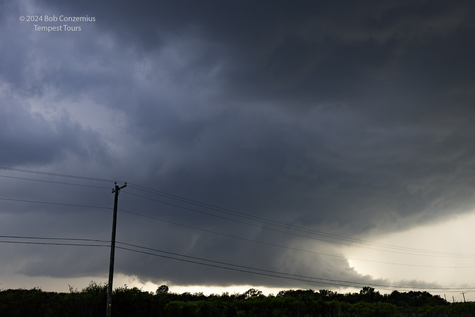
 |
| The lowering does not reach ground. |
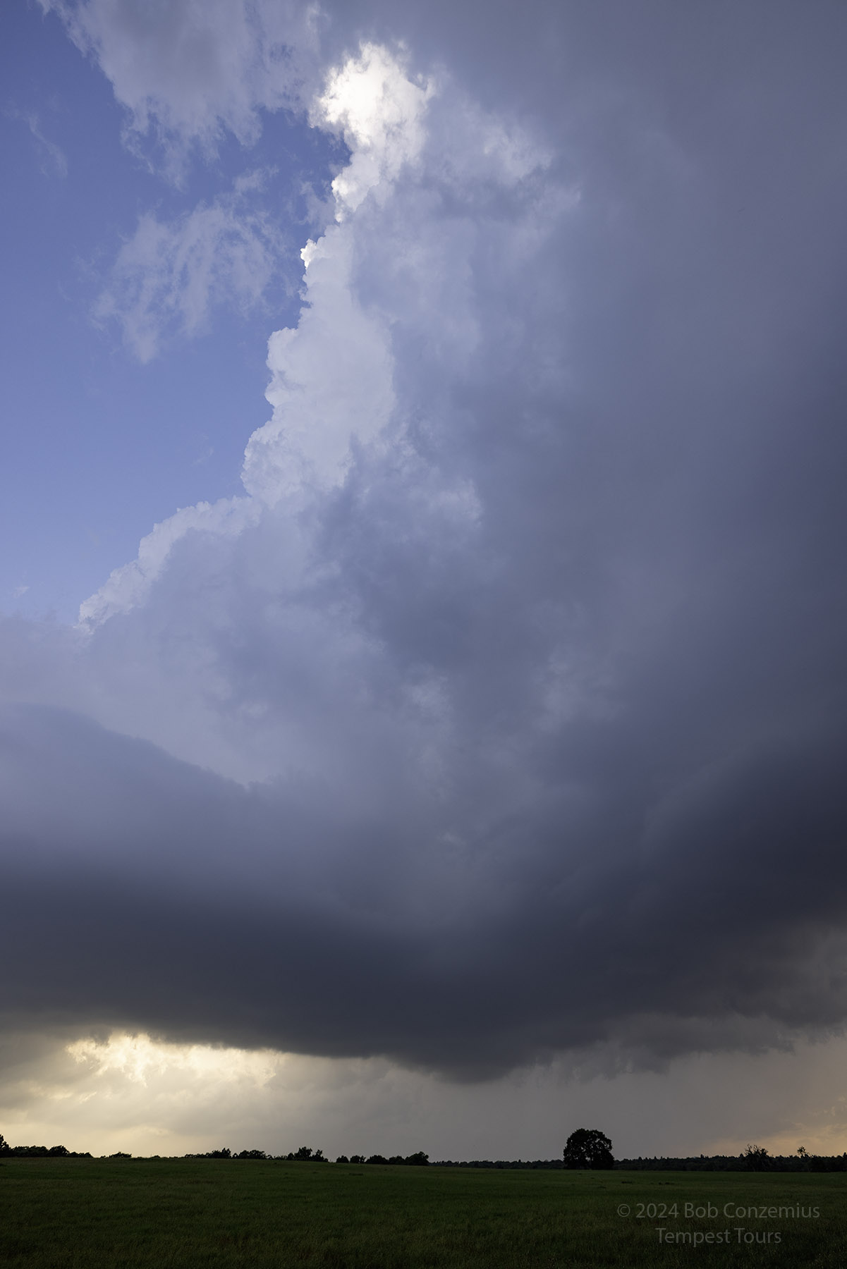
 |
| We are driving toward the core. A healthy shelf cloud and inflow band lies ahead. |
 |
| Exit for U.S. 290 east toward Elgin. We are cutting it close here. We ended up seeing a few hailstones. |
I was initially relieved that we were on our east option, but this road was really busy with a lot more traffic lights than I had expected. We would start to get safely ahead, but the next traffic light would turn red, and we would have to wait for a minute while the storm caught up to us, and 1" hail started to fall (no rain, though). After a tense ten or fifteen minutes of this, we finally got east of the traffic lights and drove to the west side of Elgin. There, we had time to stop for a few minutes to admire the storm.
We had to reposition one more time to a point east-southeast of Elgin, where the highway turned more southward. That would allow the storm to pass safely just to our north. However, while we were there, the storm began to weaken, and although the updrafts still looked nice, they were getting smaller. Our storm was dying.
 |
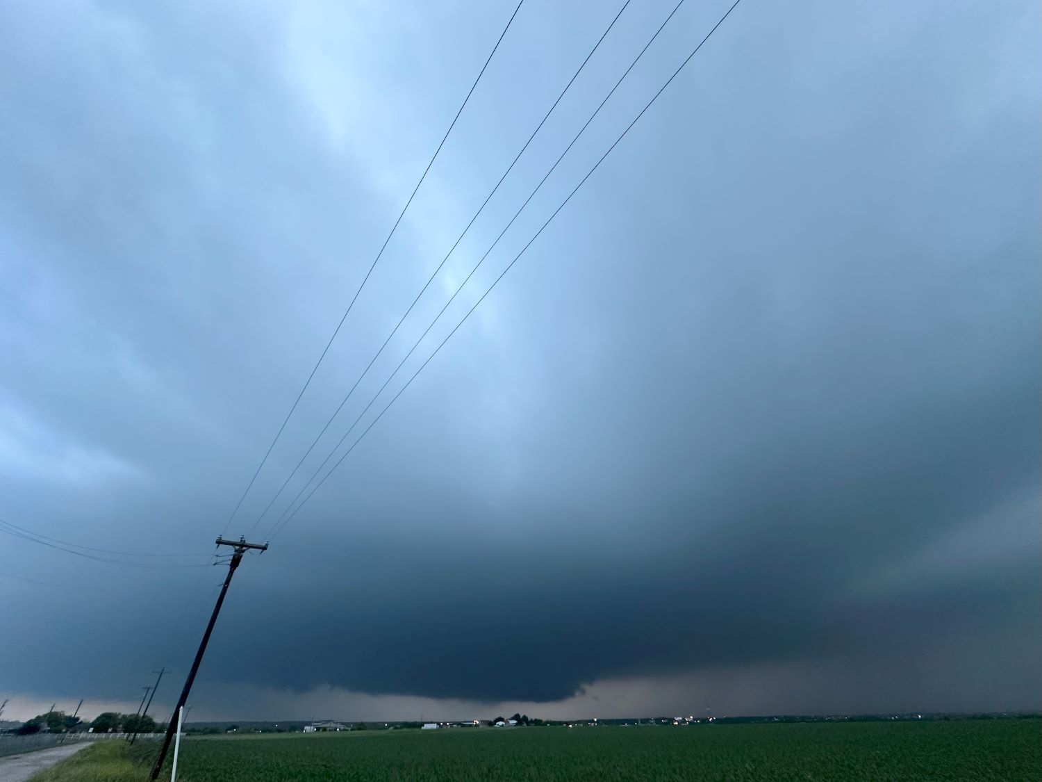
| Stopping on the west side of Elgin, we see a supercell with a nice inflow tail. |
 |
| When we got east of Elgin, the storm weakened, and the updraft became smaller. |
No problem. There were more storms back to the west of Austin, so it was time to repeat what we had just done. This time, I would not drive all the way into town because the storm was already over Austin and moving eastward.
With this storm, we were able to more safely stay in front and avoid hail. That was good, because there were baseballs falling. It would not be fun to start the storm season with a smashed windshield. As the storm approached, the low clouds cleared somewhat, providing a view of the anvil above us. Since it was now around or just after sunset, the anvil was lit up with frequent lighting. We moved back east of Elgin again and spent quite a few minutes admiring the lightning show.
 |
| Radar on our new storm. |
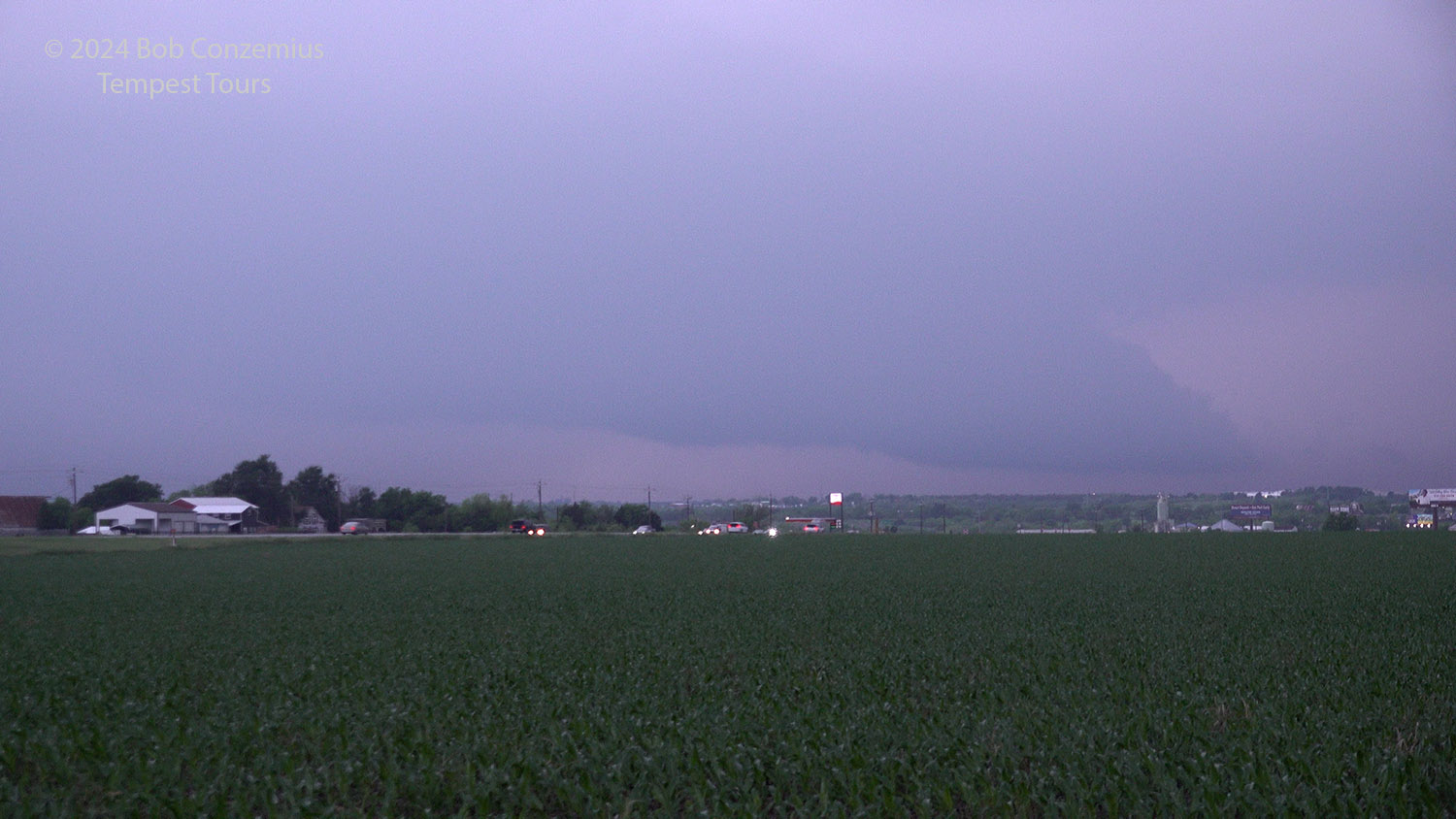 |
| The skies are pretty hazy, but the underside of the storm looks interesting. |
 |
| As it gets closer, more of the supercell shape can be seen. |
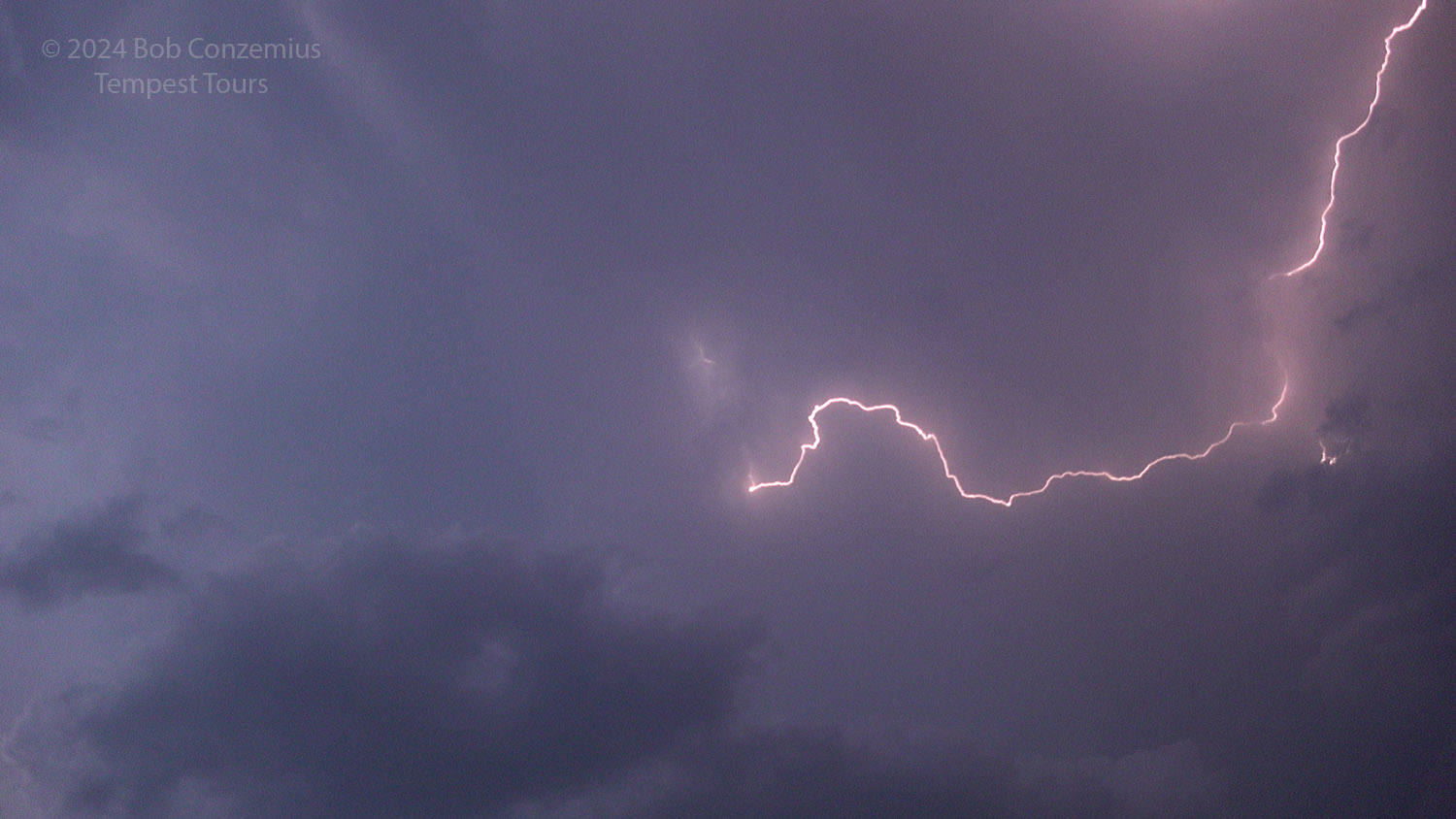 |
| We stopped east of Elgin, for the second time, to observe a nice lightning show. |
It was getting late and time to head back to our hotel. I looked at radar, and there were quite a few storms to our west, so we would have to drive through quite a bit of rain to get to our hotel in Round Rock. I drove for Kim since she had driven all day. It was a nice, supercell day in Texas and a good first decent chase of 2024!
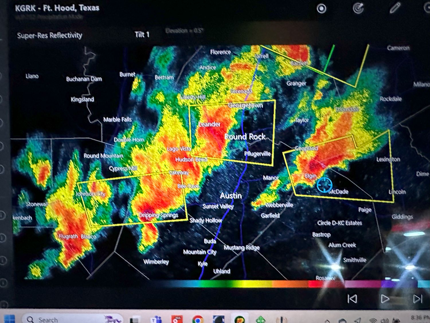 |
| Updated radar. There are additional cells now to the west. We will have a rainy drive back to our hotel. |
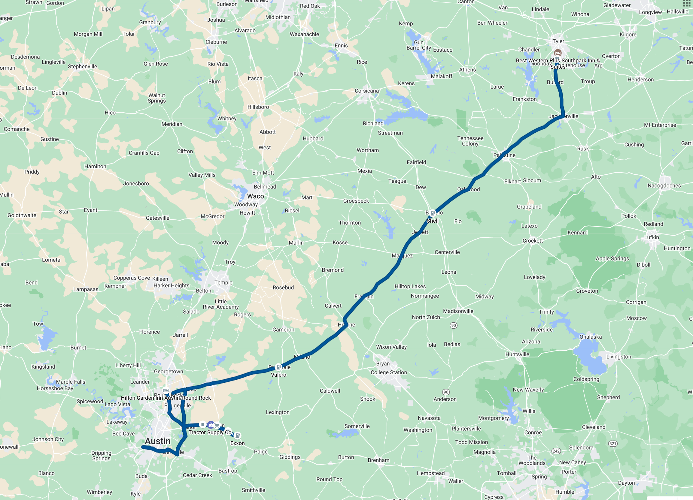 |
| Route driven for the day. Approximately 347 miles according to my Google Maps timeline. |
Back to Storm Chases | Home