|
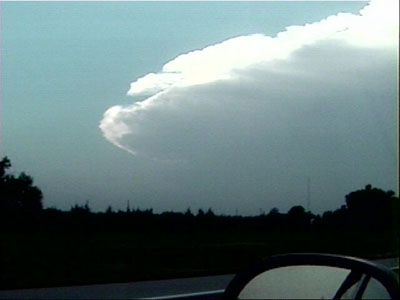
| Supercell approaches from the southwest. The chase is on. |
Shaun Kelly and I chased in north central Nebraska on this high risk day. At first, we ran around quite a bit trying to chase storms developing into northeastern Nebraska racing northeast at 50 mph. These developed very early-- around noon. Finally, we gave up, forced ourselves to calm down and sit just west of O'Neill, Nebraska and just wait to see what came from the southwest. We were rewarded with the supercell du jour.
|
| Supercell approaches from the southwest. The chase is on. |
 |
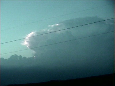
| A little closer in. The excitement is building. The supercell structure is obvious, with a main updraft and flanking line visible. |
 |
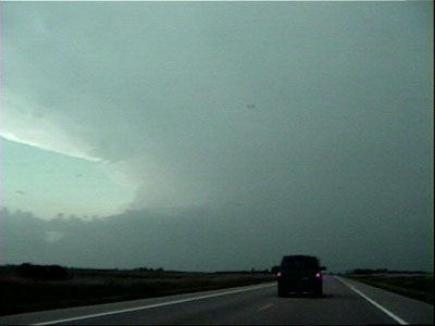
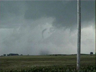
| Shortly after we arrive, the storm produces a tornado just southwest of the town of Bassett. |
 |
| Tornado ropes out shortly thereafter with debris cloud. |
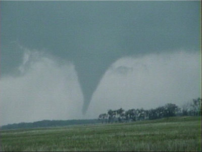 |
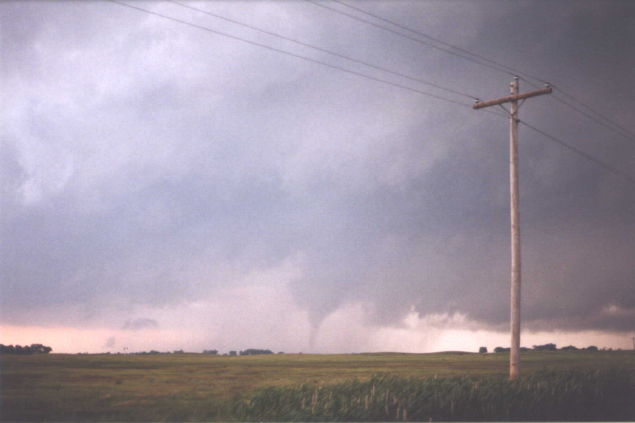
| Second tornado, farther east, looking north. |
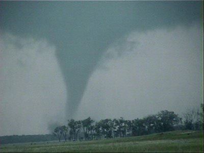 |
| Zoomed in a little closer |
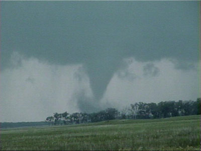 |
| Tornado is moving rapidly northeast and soon gets wrapped in debris cloud and scud. |
|
| Road options and approaching core force us away from the storm, but it's starting to lose its strength by now anyway. |