The supercell composite parameter looked pretty good over northern Minnesota in the forecast at least a couple days before this event occurred. What was not so certain was thunderstorm development. Several weak disturbances were moving out of a broad trough in the northwestern U.S. through a fast west-southwest to east-northeast flow over the northern part of Minnesota and southern Ontario. The timing turned out well that one of these distrurbances came through in the late afternoon of July 17 and initiated storms over Itasca County.
I got a call from a friend of mine at the National Weather Service asking if I was anywhere near the storm by Alvwood, in far western Itasca County. I was still at work but was just finishing up. I loaded my camera gear in the car and headed northwest.
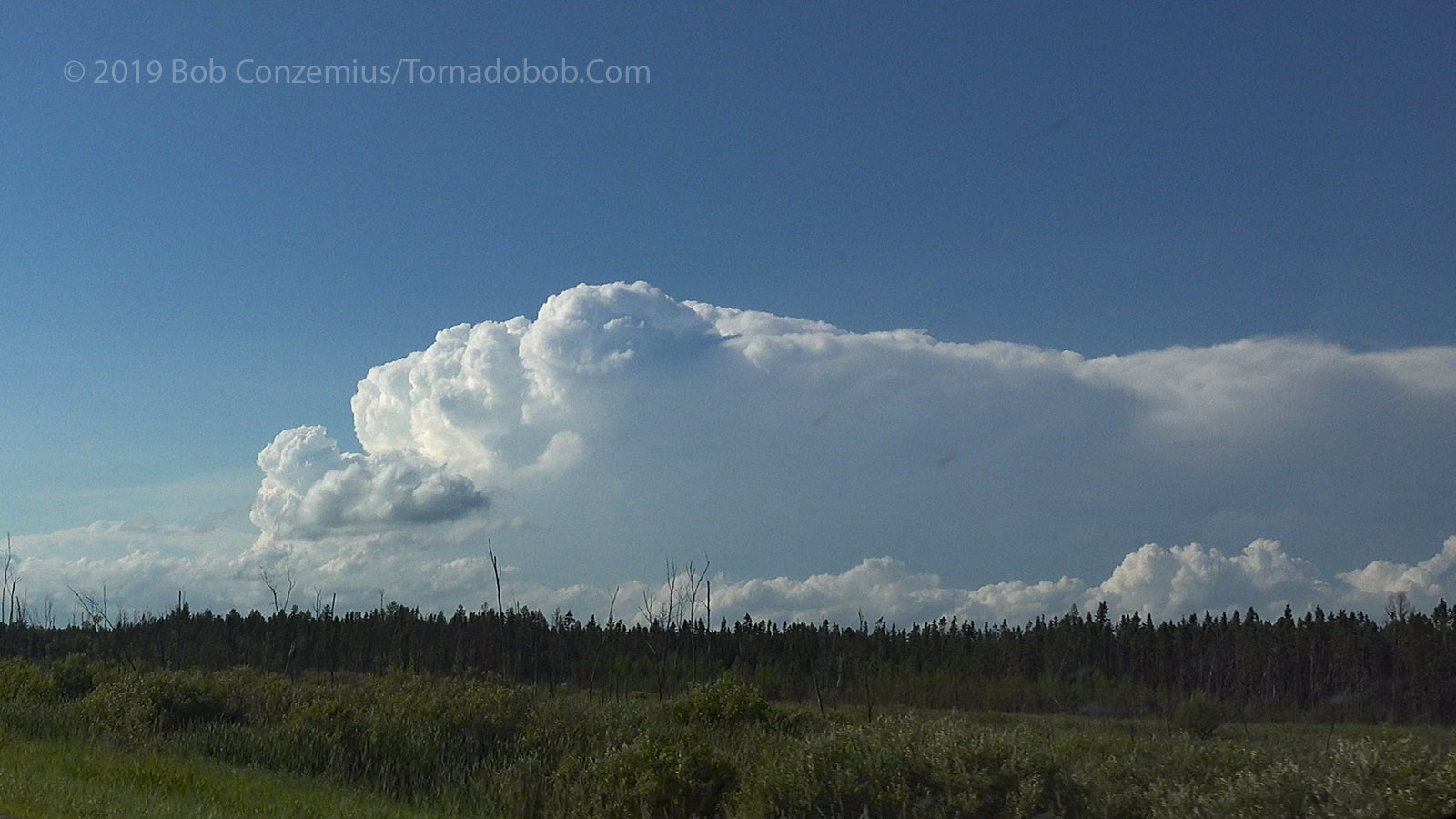
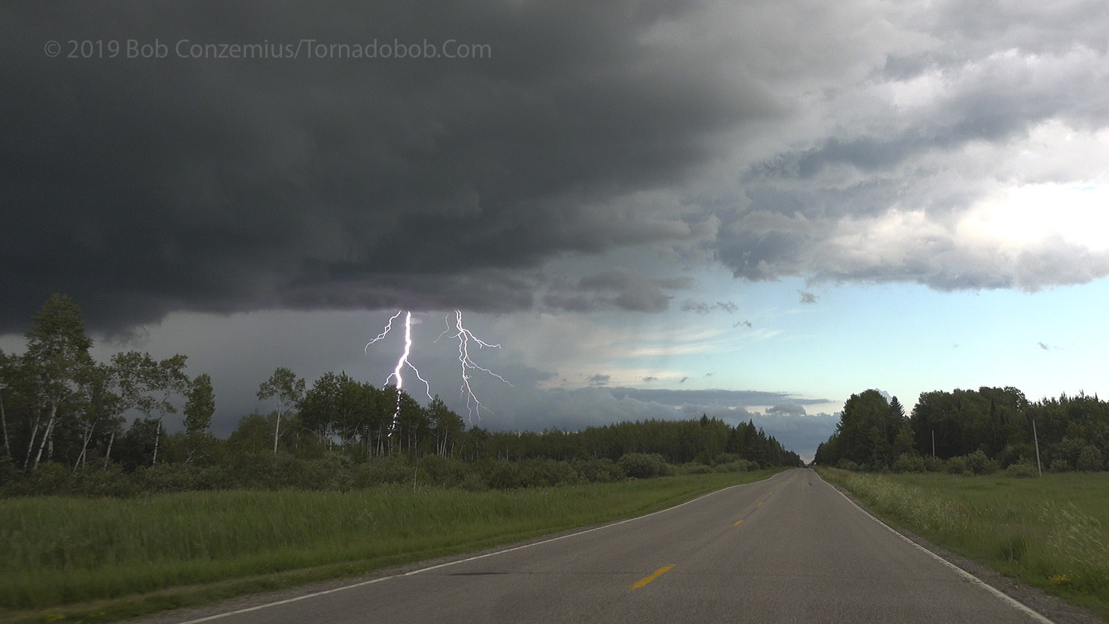
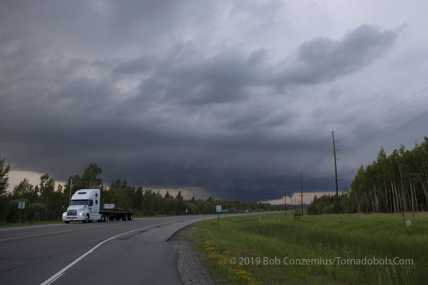
I got a few glimpses of the cell as I drove westward out of Grand Rapids, but my first good look at it was west of Cohasset. It had a nice updraft and a slightly overshooting top. Due to the strong upper tropospheric winds, and because it wasn't a very large storm, the anvil did not have backshear on it. The anvil was all carried rapidly eastward by the strong winds.
I drove to Deer River and headed north on Highway 6.
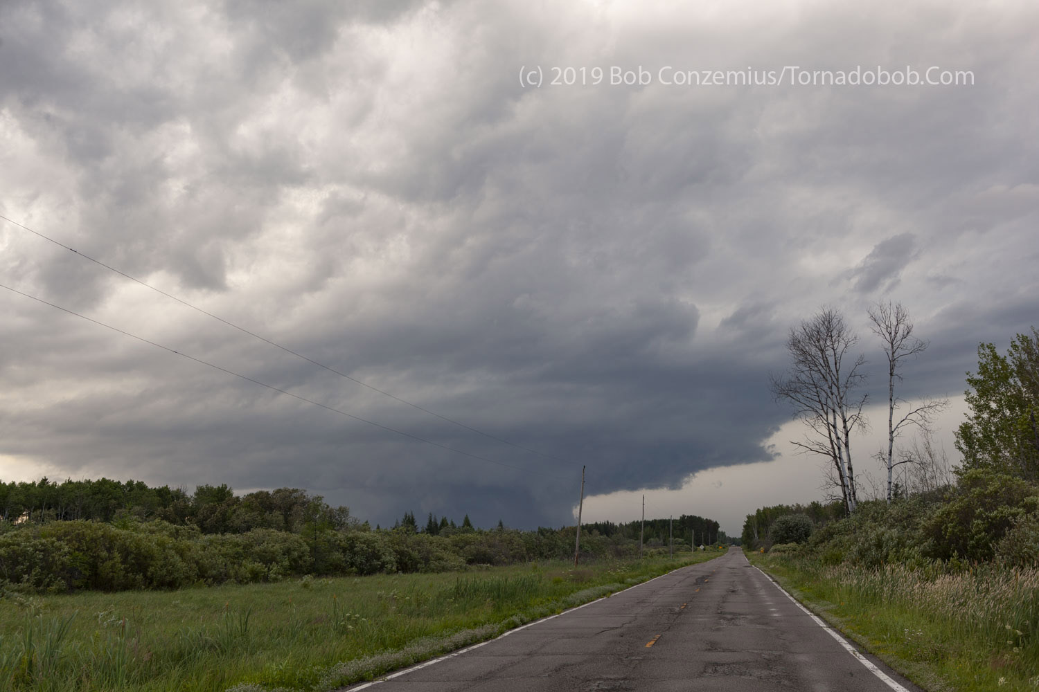
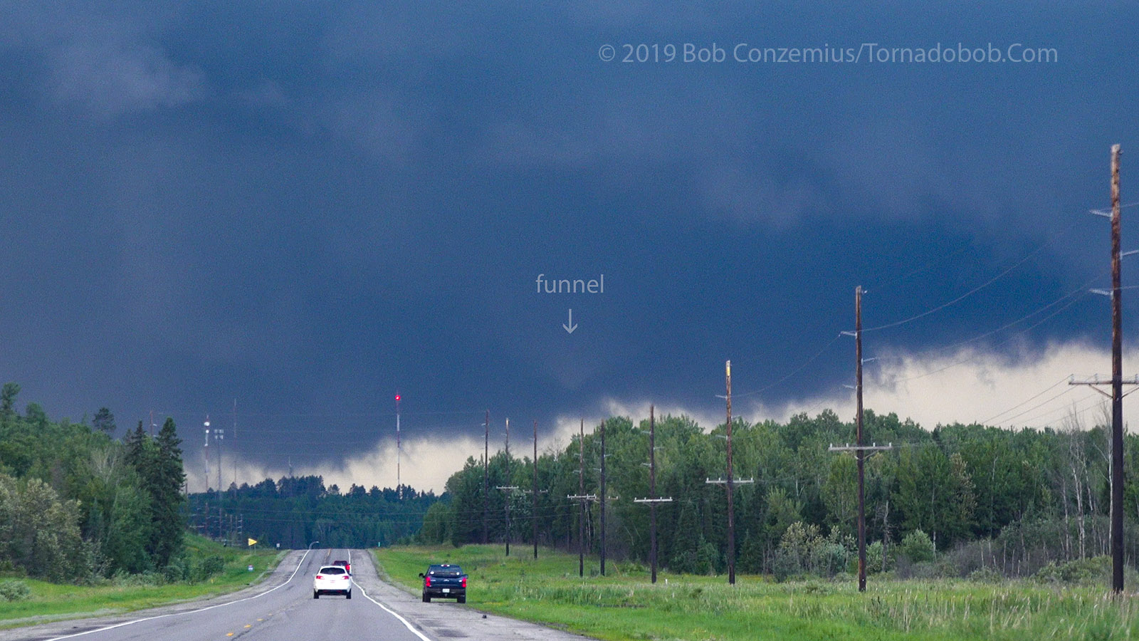
My first good look at the storm between Cohasset and Deer River on U.S. Highway 2.
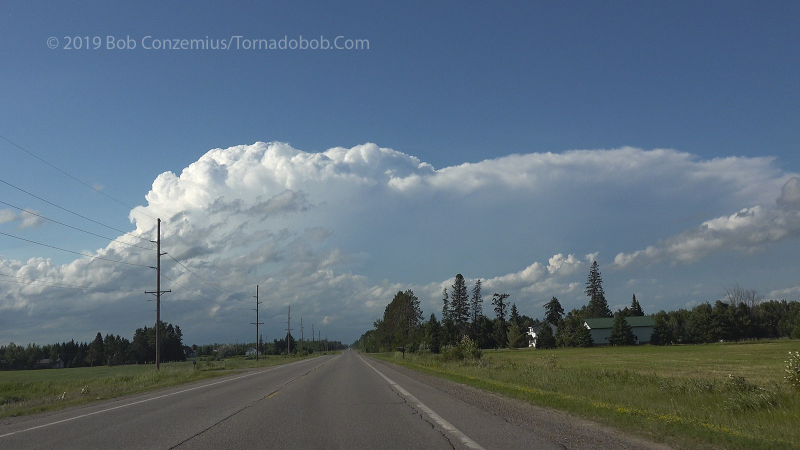
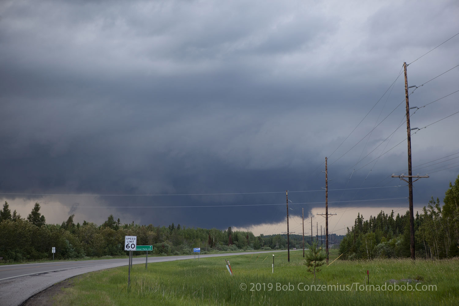
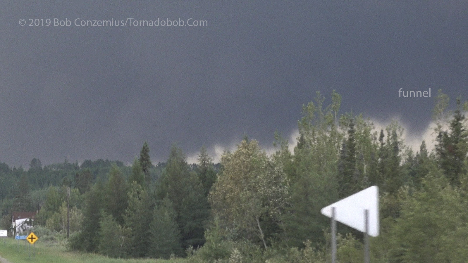
MN Highway 6 just north of Deer River.
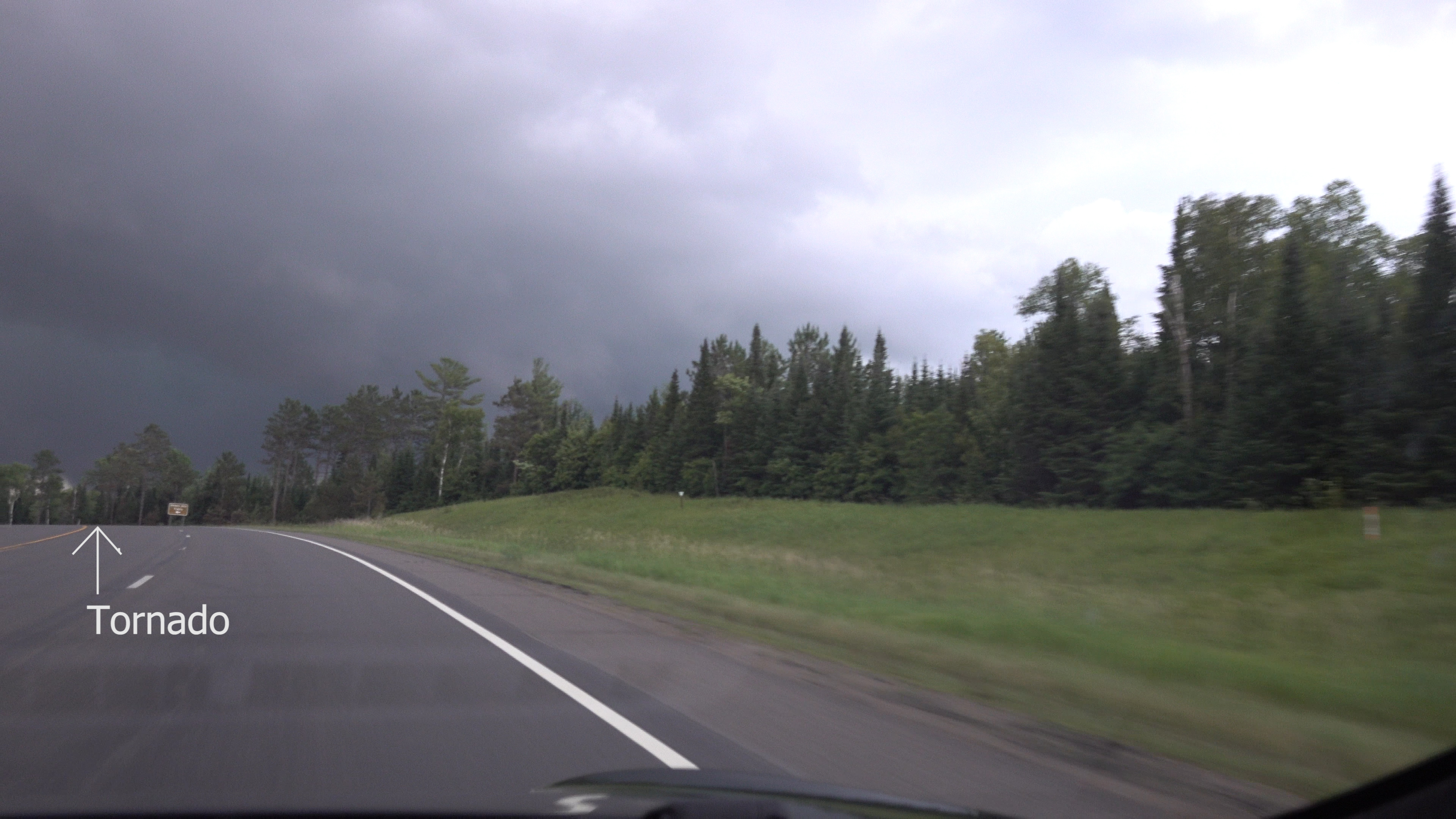
I had a few very brief looks at the base as drove north on Highway 6. Perhaps as I looked northwest at Bowstring, I saw a distant, dark, broad wall cloud that appeared ready to produce a tornado. Unfortunately, that was the only look I would be able to get at the whole wall cloud until I got to Bigfork. I had occasional glimpses of the front side or back side but not the whole thing. I took County Road 14 east to Bigfork because the storm appeared to be between me and Highway 1 (this was a correct assessment). At Bigfork, I saw that I needed to get closer, so I drove north on Highway 38 to Effie.
The local folks are out looking for tornadoes as the storm passes north of Bigfork.
I started to see a lot of local folks looking at the storm, so I figured there must be a tornado warning in effect. I did not have my amateur radio with me, and I wasn't looking at my phone much. At Effie, the fire department was looking at the storm, and Itasca County Sheriff and the Minnesota State Patrol were chasing it. I was just a little west of the mesocyclone longitude at that point, so I drove east on Minnesota Highway 1 to get a little more in front of it. I stopped eight miles east of Effie to take video of the rotating wall cloud. The rotation was moderately fast, but it seemed to not have enough organization or upward motion in the right spots to concentrate the rotation. I watched it move east of me for perhaps ten minutes then decided to play catch-up.
Rear flank downdraft cut and rotating wall cloud east of Effie. Note that I'm in southwesterly winds here (looking north).
Some cloud to ground lightning on Highway 1 as I was going east.
Nice sunlit, rotating wall cloud eight miles east of Effie.
The wall cloud continues to rotate (I removed the power poles from the previous picture).
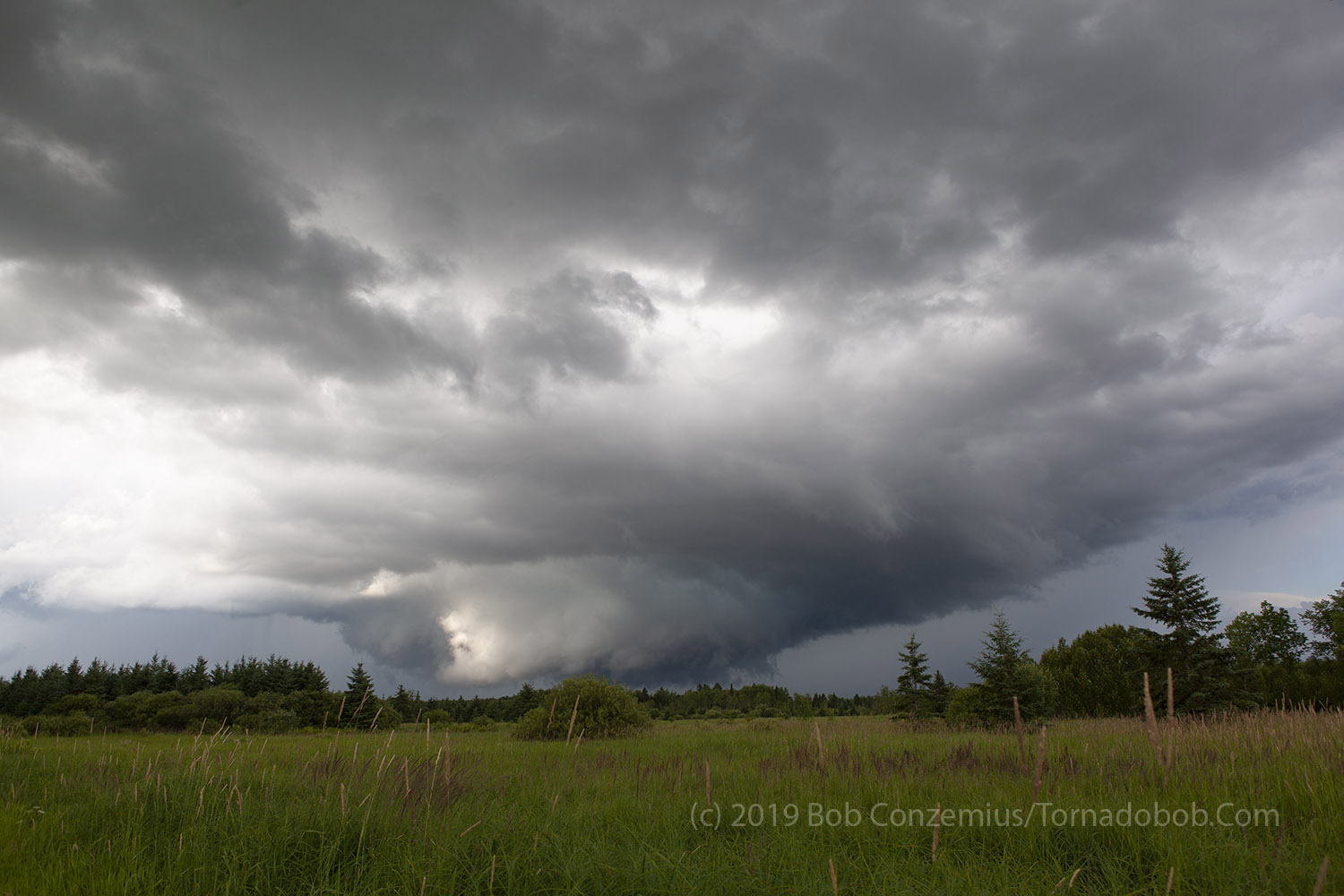
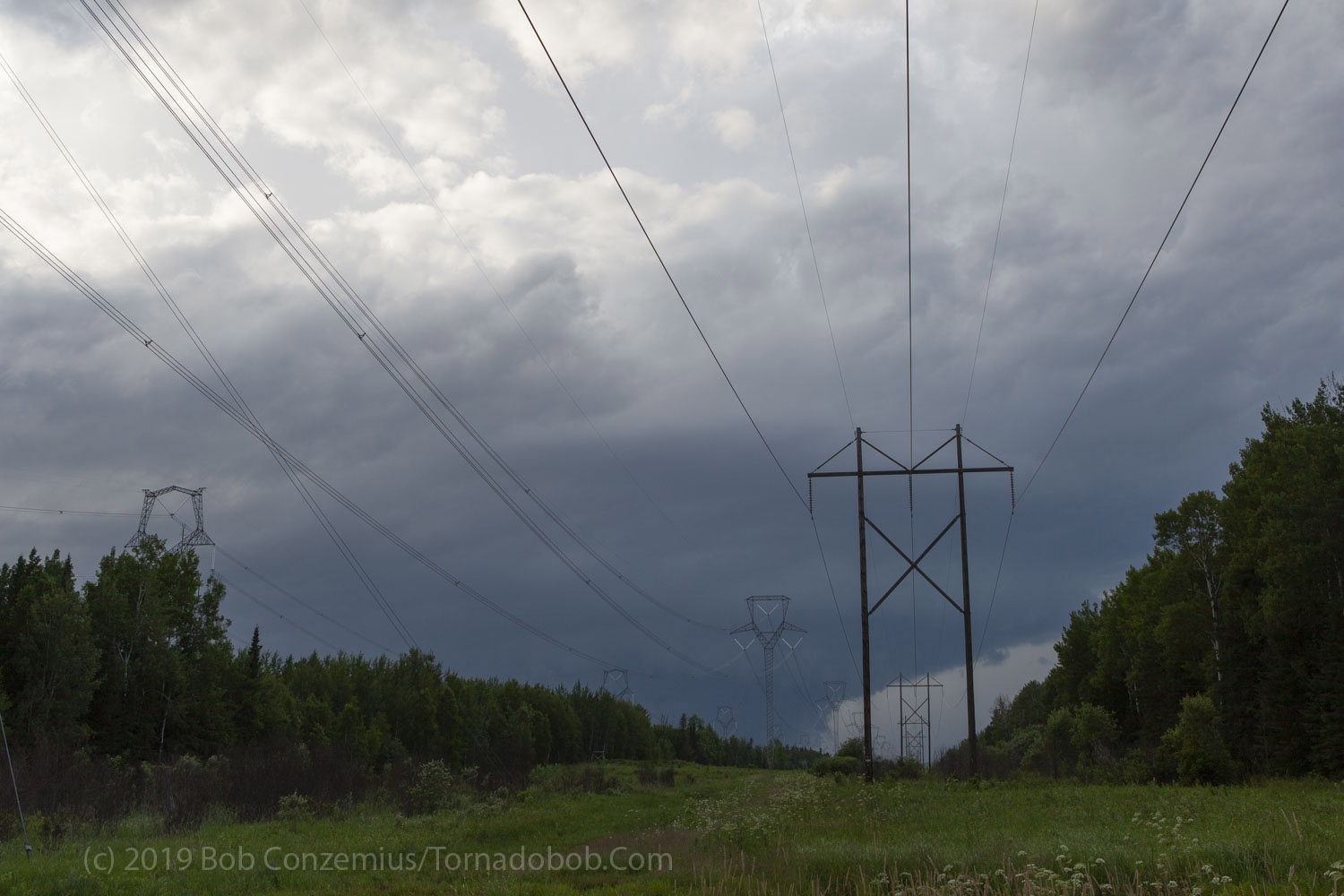
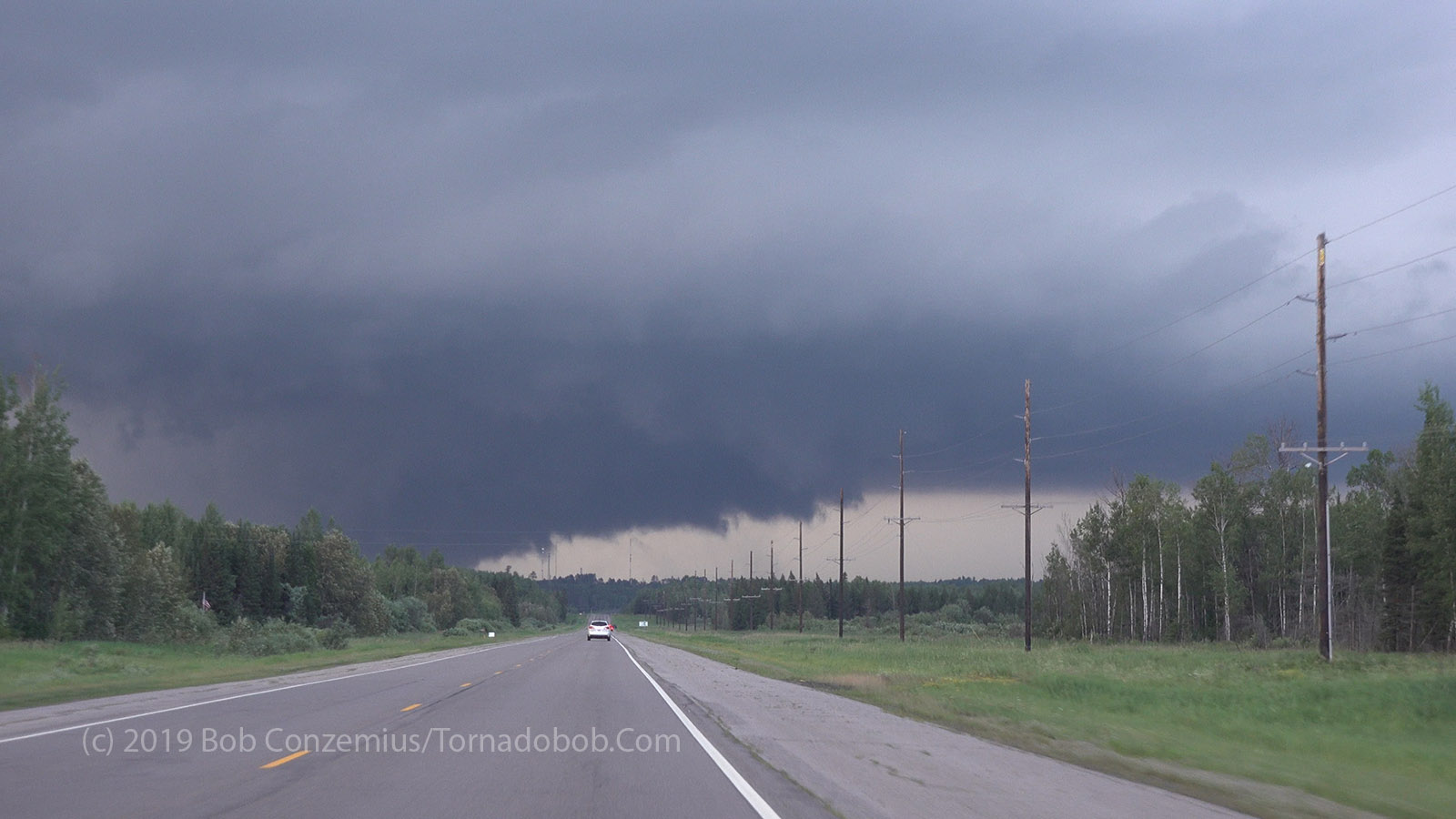
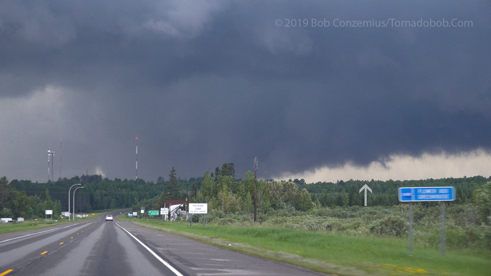
The forest did not afford me many decent views, so I had to drive fifteen miles east before I could see the updraft base again. I found a limited view down a powerline corridor, and it revealed that the storm was still quite healthy, and the wall cloud continued to look very interesting. From my perspective, it appeared to be scraping the tree tops. It was definitely worthwhile to continue pursuing this storm. I zig-zagged east and a little north, reaching Highway 73, which I took north to Highway 53.
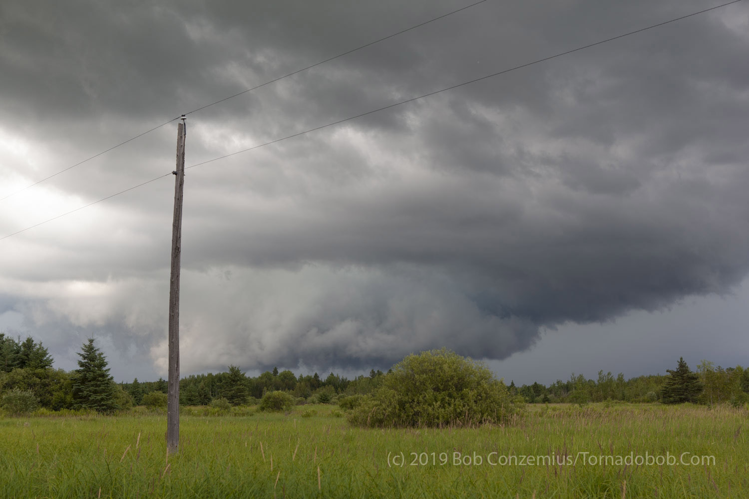
Just west of Togo, a power line clearing revealed that the storm was still pretty strong with a ground-scraping wall cloud.
As Highway 1 turned north, east of Togo, I got a better view of the spaceship.
This was a "ground-scraping" wall cloud.
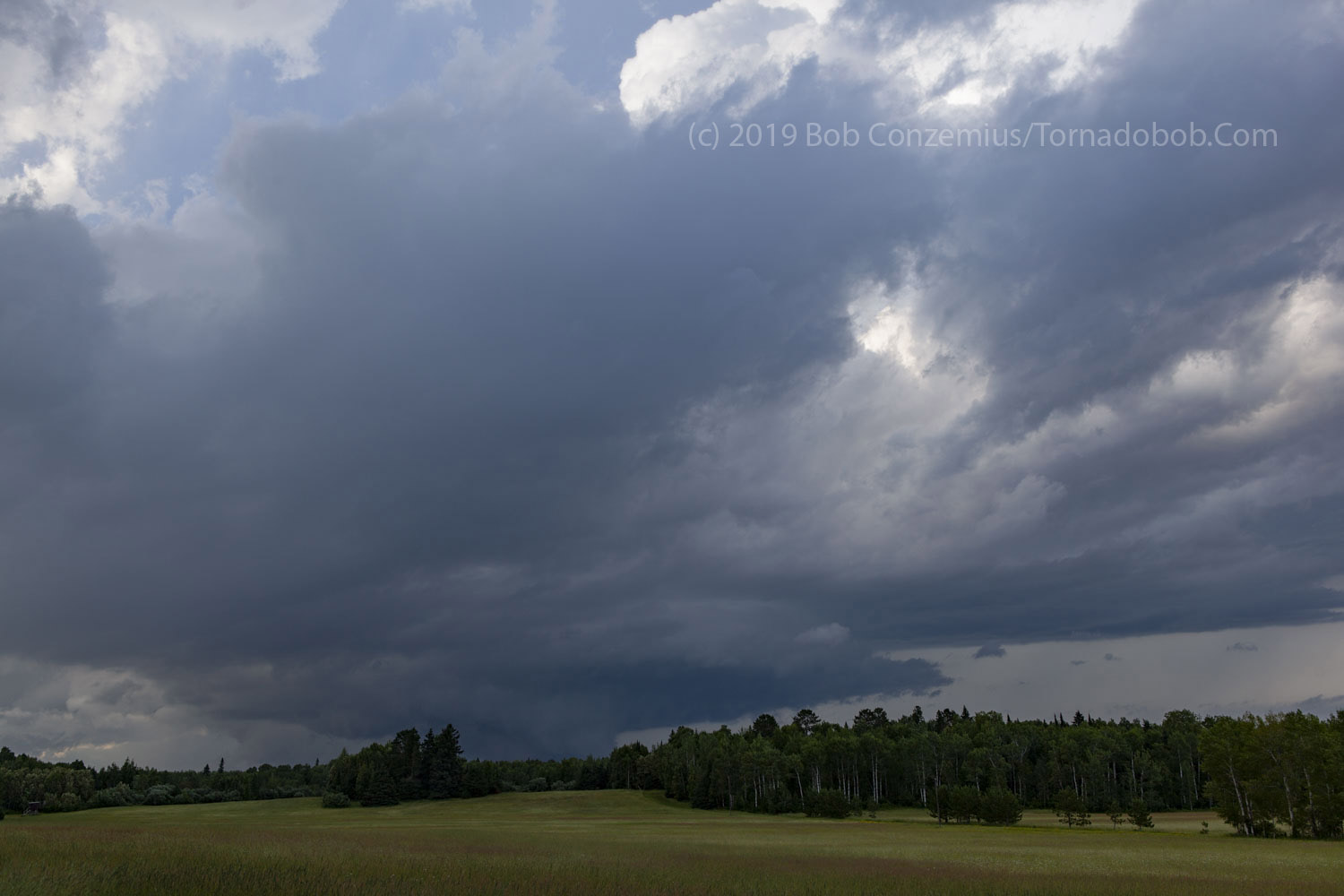
Near Celina, the storm looked, perhaps, a little smaller.
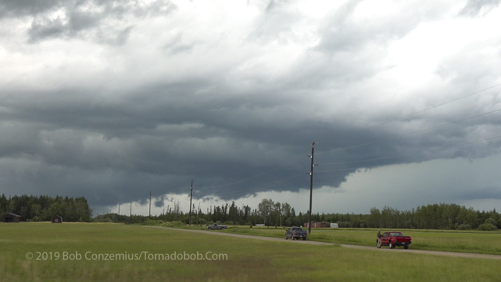
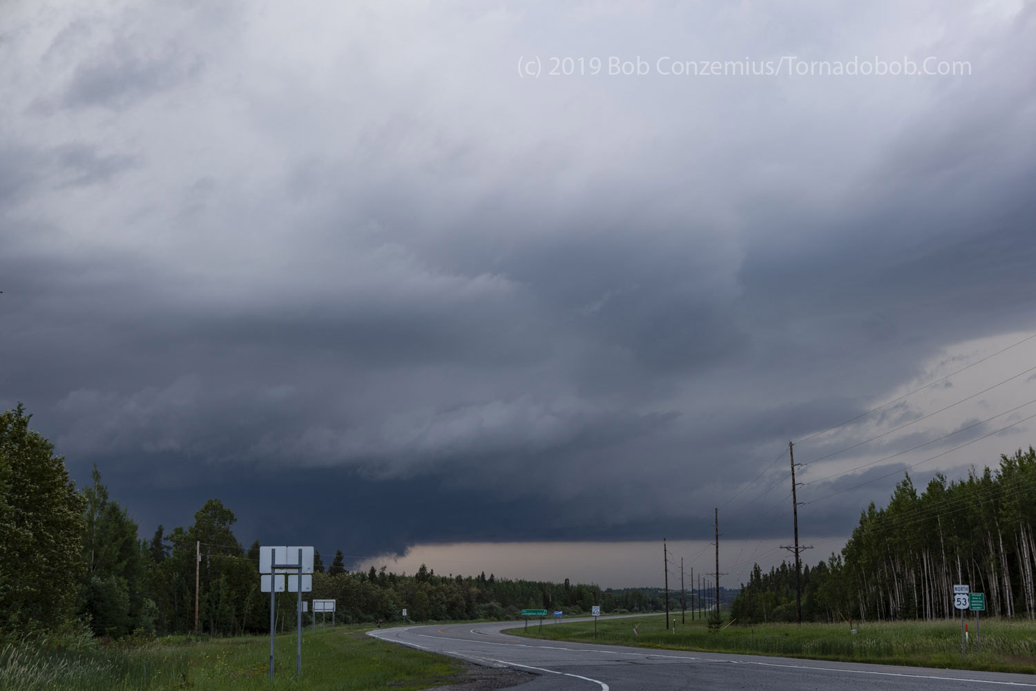
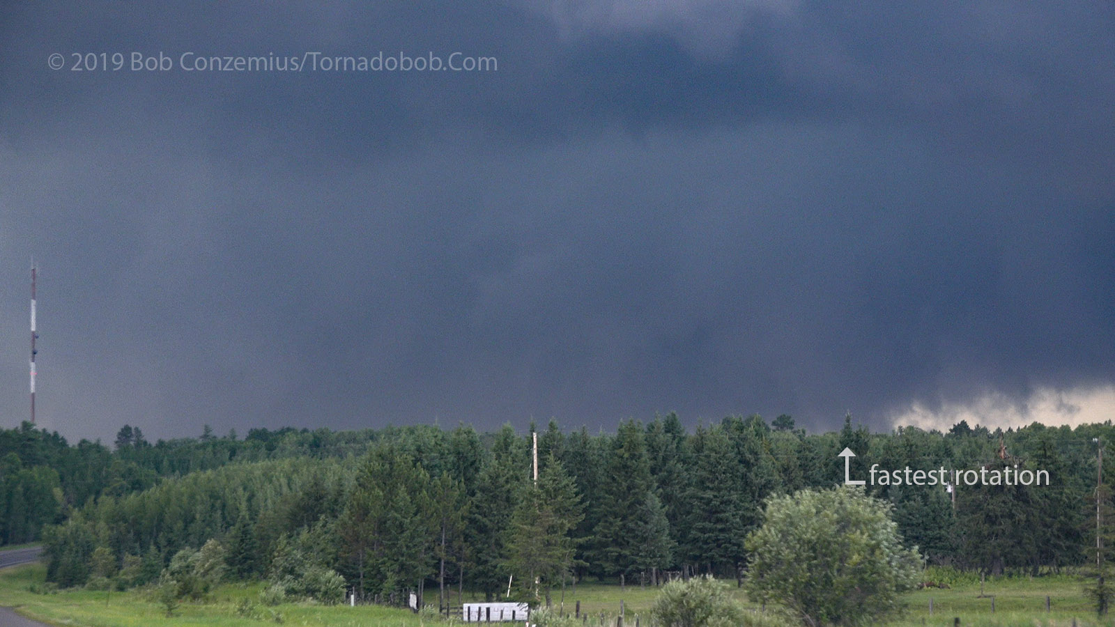
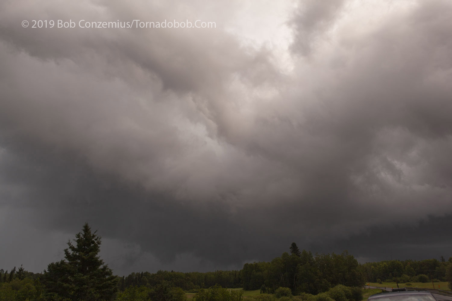
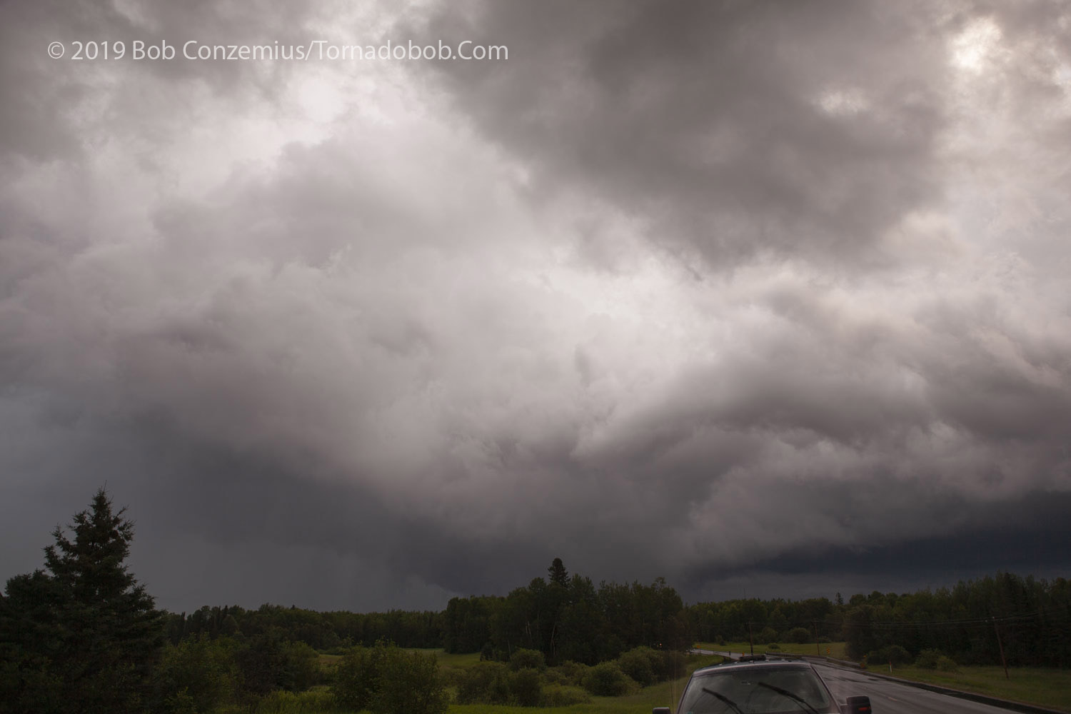
The storm had looked a little smaller near Celine, but when I got to Highway 53 and could see to the north, the base looked a lot more menacing. There had been strong upward motion whenever I was able to see the base, but this time, the mass flux through the updraft appeared to be much larger. There was a much broader area of upward vertical motion. I started north on 53 but turned around and decided to watch at the 73/53 intersection because I had some good visibility from that spot. The mesocyclone was still a bit west of Highway 53, and I decided it was best to charge north when the mesocyclone was close to the highway.
At the junction of MN 73 and US 53, the base of the storm looked much more menacing. Strong upward motion was visible.
A cloud-to-ground lightning strike.
Because I had a view, I decided to wait here until the mesocyclone got close to the road, and then I would charge north towards it.
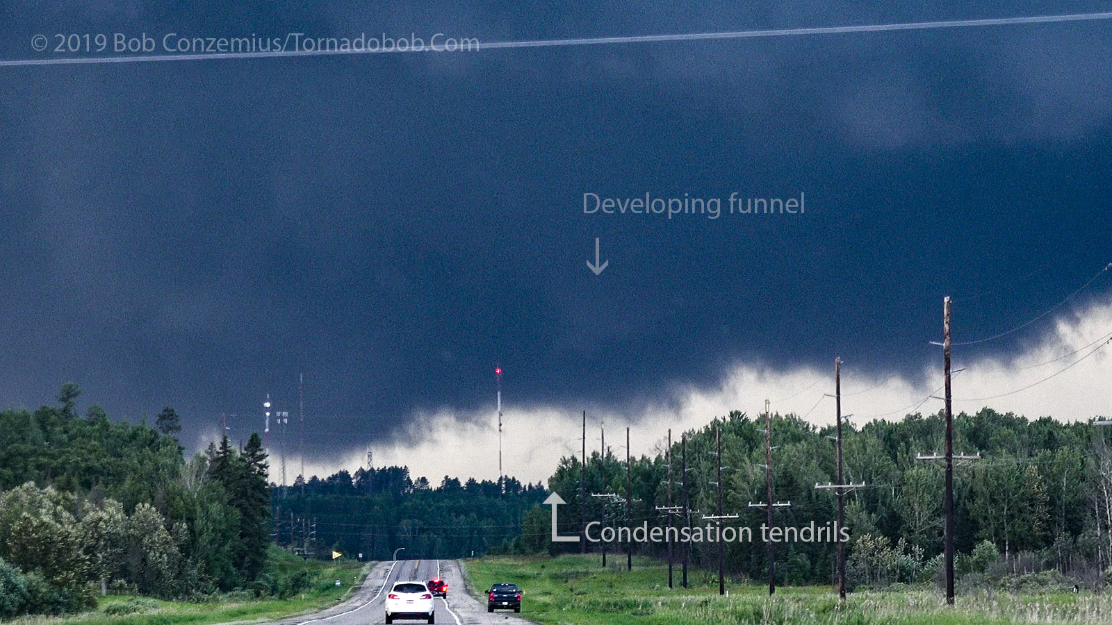
This is the last still photo I took before I moved north. Cloud elements started racing from left to right.
As I started north on 53, a big RFD surge started, and cloud tags suddenly raced from left to right on the south side of the wall cloud. Likewise, rain curtains swept in and quickly moved east of the highway. I continued north, noting areas of slightly more concentrated rotation, but most of the motion was from left to right with the RFD. I passed Gheen corner and could see a funnel to my right, and that funnel moved into a concentrating area of rotation, but that area disappeared behind trees as I drove north. I figured the probability that a tornado was in progress was pretty high, but I did not have steady condensation funnel contact with the ground. I kept going, hoping for a clearing. When I topped Gheen Hill, I could see one area rotating rapidly, but it was just a glimpse though the trees.
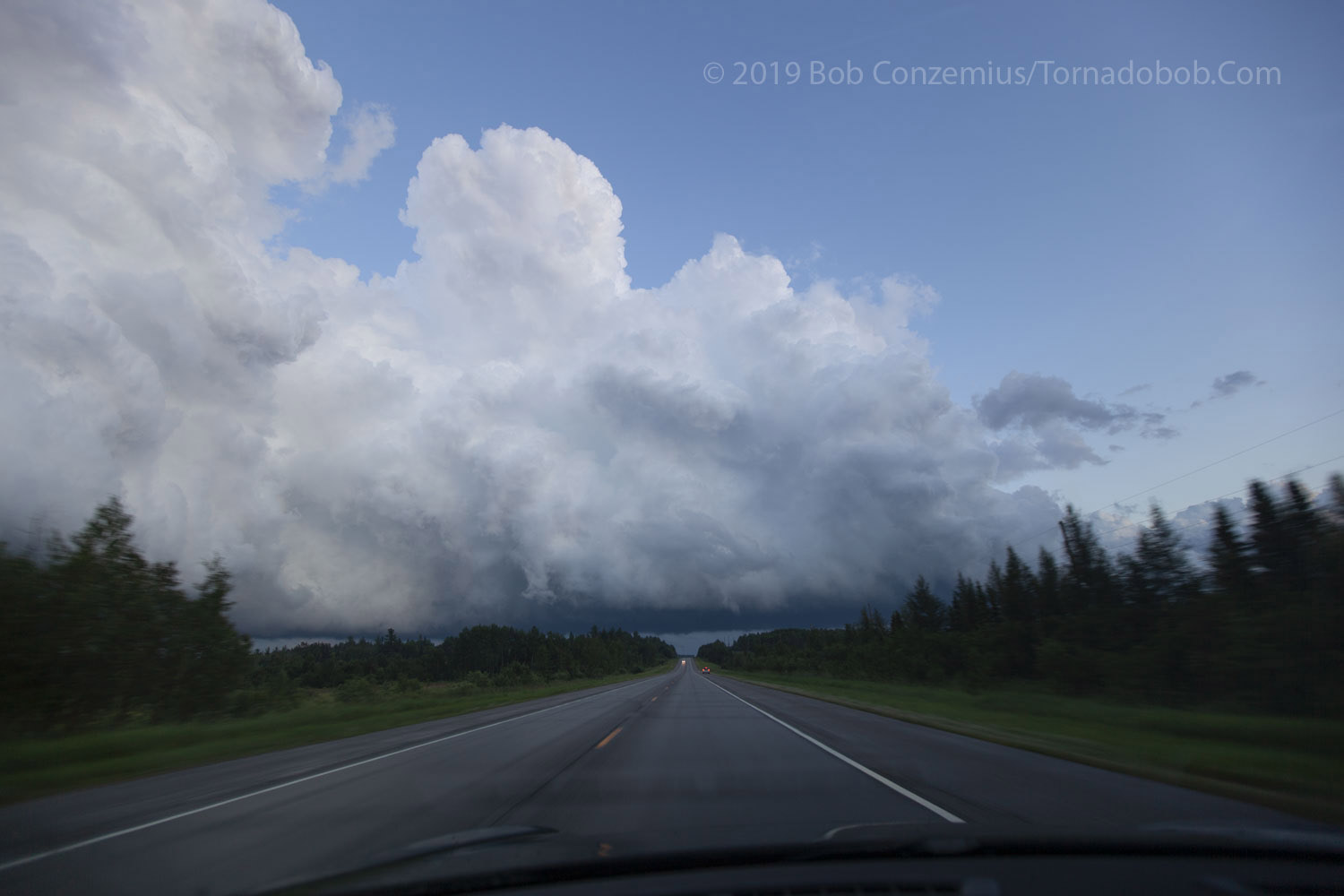
I continued north and crossed an area with tree debris on the road. It looked like a weak tornado or maybe strong RFD winds had passed through. I stopped about another quarter mile ahead, where I could see to the east. I thought I saw a rising stream of condensation indicative of a tornado, but it quickly disappeared in the rain to my east. The storm was now directly to my east, and its heavy rain core was over the Orr-Buyck Road, which was the only east road from where I was.
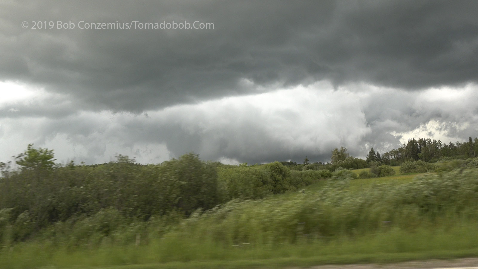
Moving north toward Gheen Corner. Fast upward motion into the dark base, fast left-to right motion in the RFD slot in front of it.
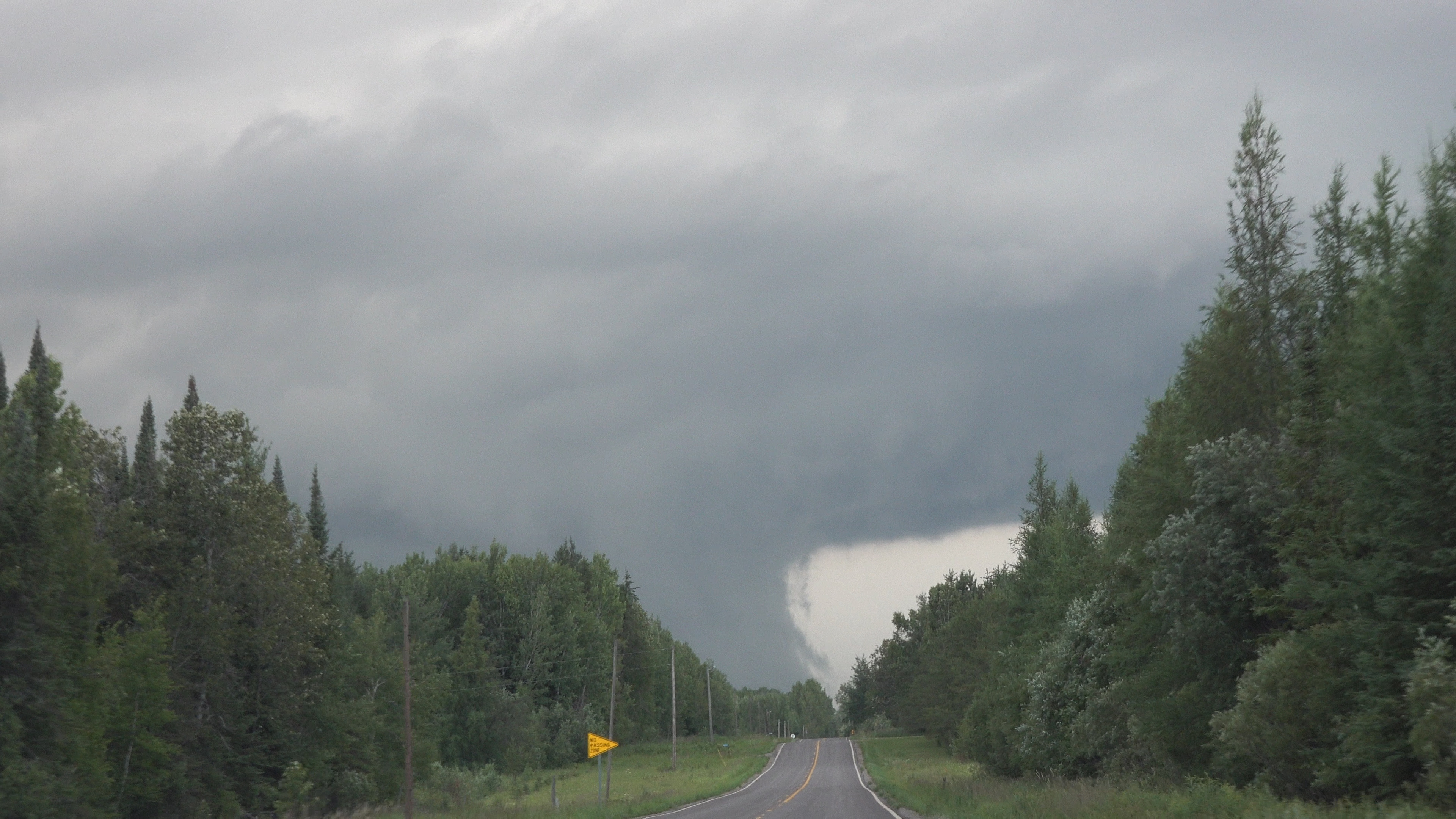
The first evidence of a tornado with wisps of condensation and a faint funnel above it.
The funnel looks more like a funnel now, but most of the mesocyclone rotation is still not concentrated.
It was a tough to see any concentrated rotation as I drove because things were still a bit disorganized. One funnel is on the right.
The same funnel in the previous picture is more visible here as I pass a bog.
I identified some more concentrated rotation as I got past an open field. I figured the likelihood of tornado was high at this point.
I saw pretty fast rotation in this part of the base as I came over the hill.
I drove east on the Orr-Buyck Road but only saw rain. It appeared the action area was going to remain south of the road. As it turned out, the tornado was only a mile south of the road at the end of its life cycle. Maybe I could have seen it, but there was mostly forest blocking the view, and I don't like to approach tornadoes from that side anyway.
I turned around and headed back west. There was another rotating wall cloud on a small cell that was right behind us. We watched it there (a friend of mine had pulled up behind me when I was just south of Orr), then drove back to Orr because the storm was now entering the roadless Boundary Waters Canoe Area. I took more pictures of a trailing line of smaller cells. These were pretty nice to see because they had some rather low bases.
I drove back to Virginia to charge up before heading home.
Some weakly rotating lowerings underneath a following cell (looking east on Orr-Buyck Road).
A wider angle view of the whole trailing storm.
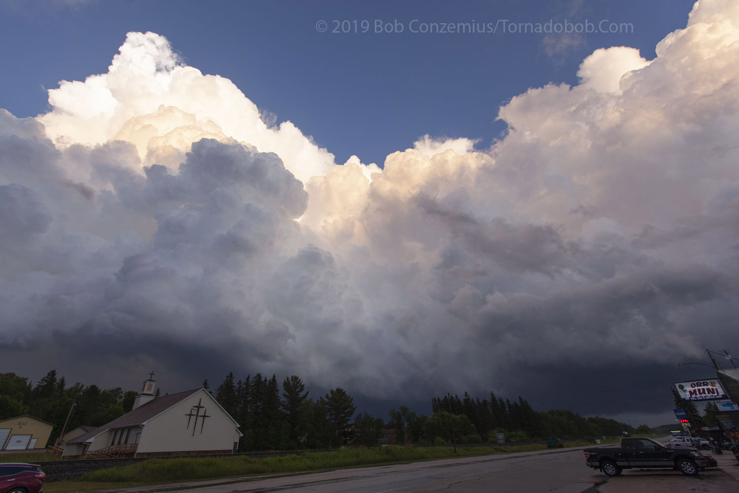
A view of the trailing line of cells back at Orr.
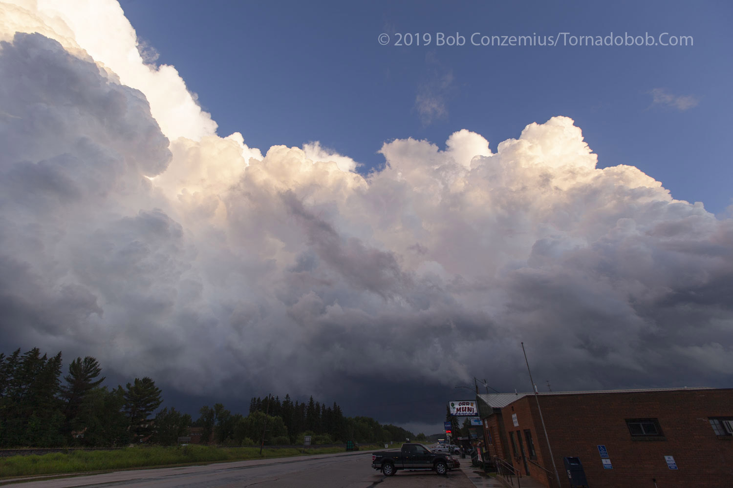
Looking south at Orr.
I was a bit enamored with the low bases on this trailing line.
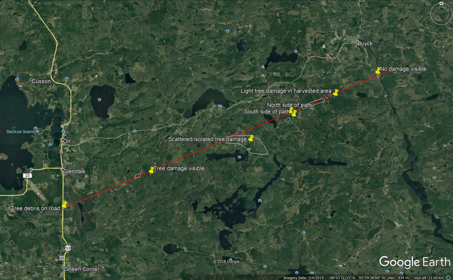
Damage I found in areas I could reach, either by car, on mountain bike, or on foot.
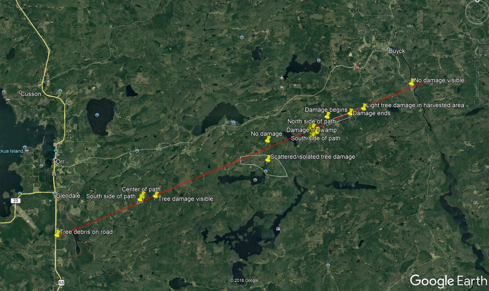
Same survey with a little bit more annotation.
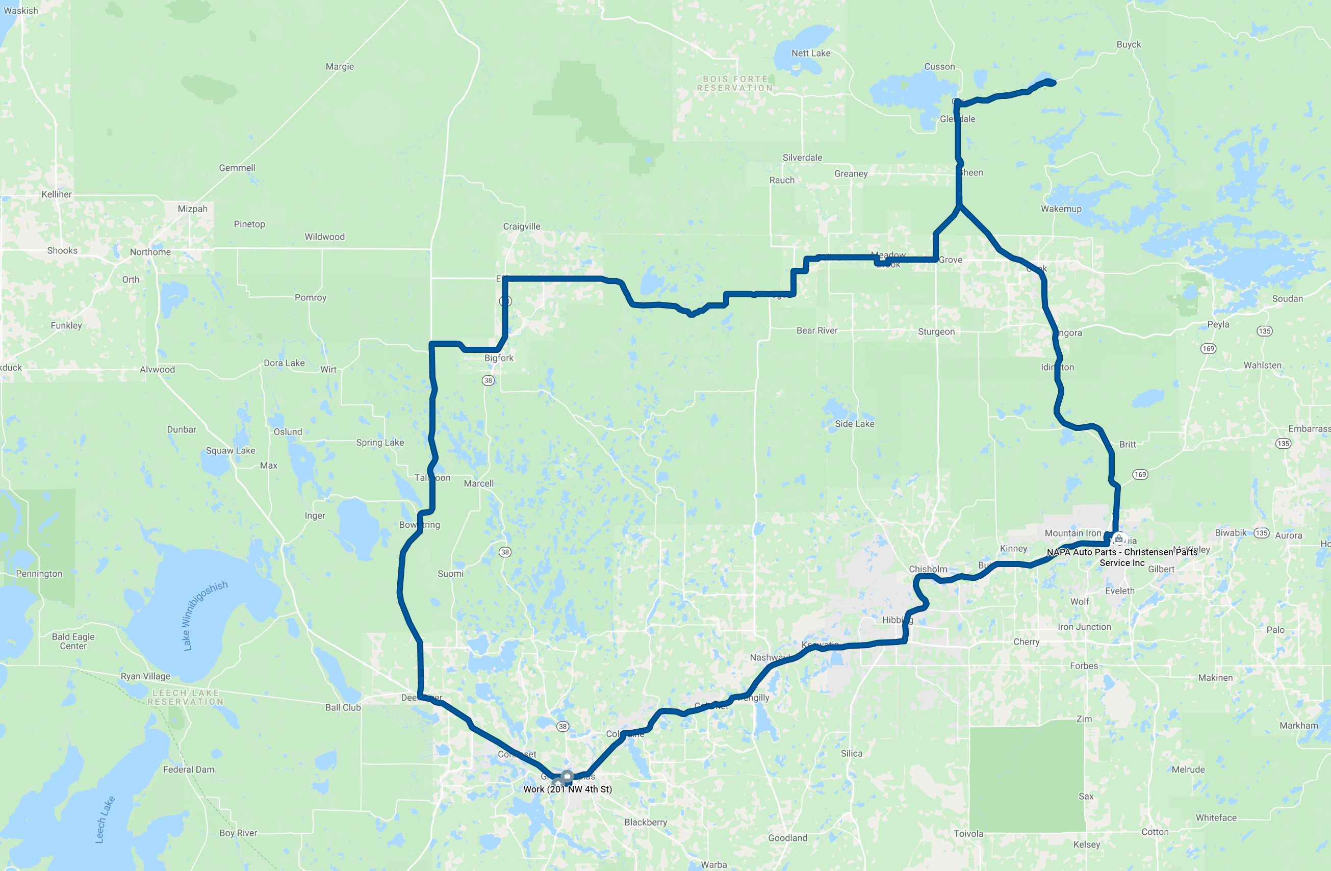
Route for the day. 222 miles. I charged in Virginia.