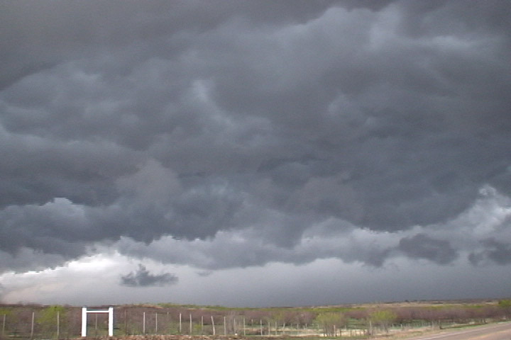
Shelf cloud near Roaring Spring, TX.
This was the arrival day for Tour 1 of the Tempest Tours 2009 season. Due to the need to pick up guests, we couldn't leave DFW airport until 1:00 PM, and that may have cost us two tornadoes near South Plains, TX. That's the way it goes! It was the best tornado opportunity during the tour, and we missed it by a full hour or more, but it would not be our last opportunity to see a tornado during the tour. We took I-20 west from the Dallas-Fort Worth metroplex with hopes of catching a storm along an outflow boundary in the southern Texas panhandle. One storm quickly developed not far from our target, but it soon died, and eventually, we knew we had to get farther north into the panhandle in order to see a storm. We turned northwest to Snyder, drove north to near Roaring Spring, TX, where we intercepted a supercellular storm that had just been producing tornadoes near Cedar Hill and South Plains. However, by the time we arrived, it was done producing tornadoes, and we were greeted by a large shelf cloud with cold outflow. If I had a hundred dollars for every time that's happened to me... well... I'd be a lot richer. We dropped south to see if any of the newer towers we had just passed would develop. Soon, we had a tornado-warned storm near Dickens, TX. We preceded it east to Guthrie, TX, where we parked under a gas station canopy and watched it move overhead. This storm had too much cold air eminating from the forward flank downdraft region and did not even come close to producing a tornado, but on radar, it had a really strong area of rotation.
Shelf cloud near Roaring Spring, TX.
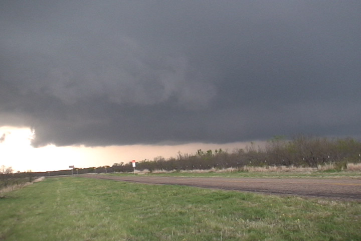
Wall cloud east of Dickens, TX on U.S. 82.
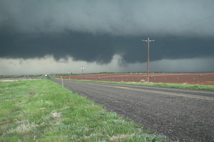
Updraft base of the storm.
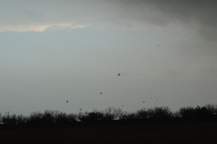
A gustnado kicks up some tumbleweeds.
Hail in Guthrie, TX.