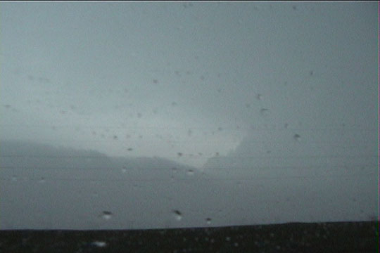
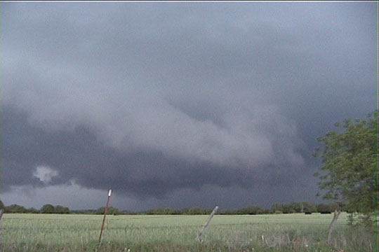
Storm viewed from our approach on the north side. A long inflow band is visible, along with a small portion of the updraft.
Storm viewed from our approach on the north side. A long inflow band is visible, along with a small portion of the updraft.
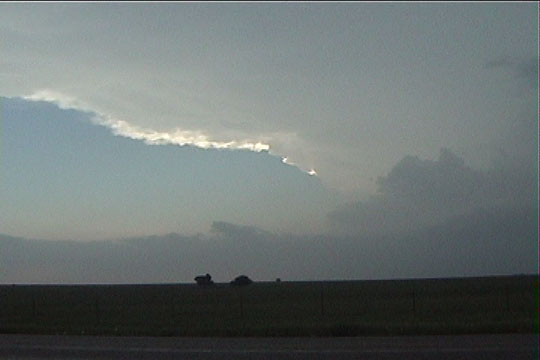
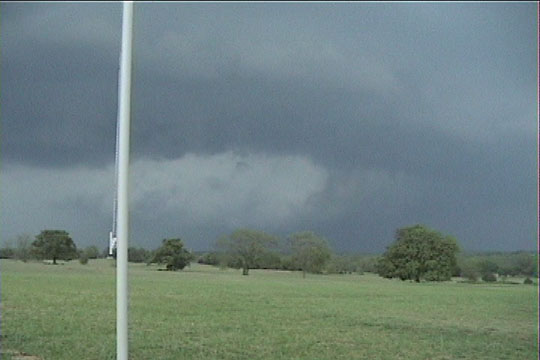
This shot is taken a few miles south of Muenster, TX. A new storm was developing well west of our original storm, so it looks as if we had gone well east. However, the very long inflow band coming from the south is feeding into the original storm.
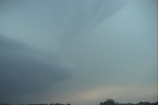
Our approach to where the inflow band leads into the updraft of the original storm.
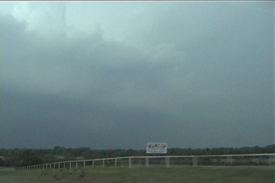
We come over the hill and notice a wall cloud with an inflow stinger.
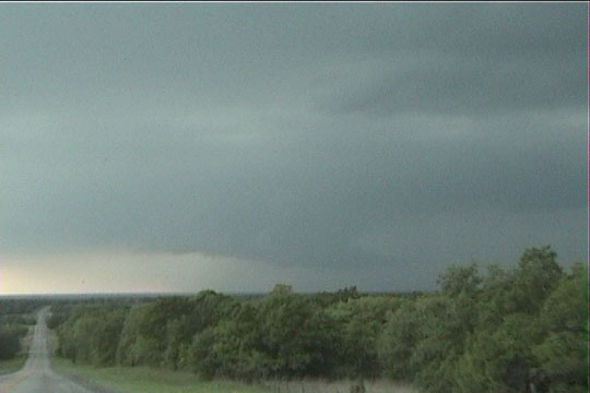
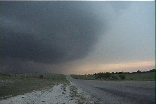
The wall cloud appears to have a bit too much outflow to produce a tornado. A tornado warning was issued at this time.
Back farther east, the rear flank downdraft (RFD) has dried out a bit, revealing the center of action where a tornado would develop. No tornado occurred.
South of Muenster again, looking north at the barrel updraft of the storm.
At this point, we decided not to proceed farther north because the most hail-prone portion of the storm was now moving directly over our road. However, soon after this, the storm shriveled up and was gone an hour later.