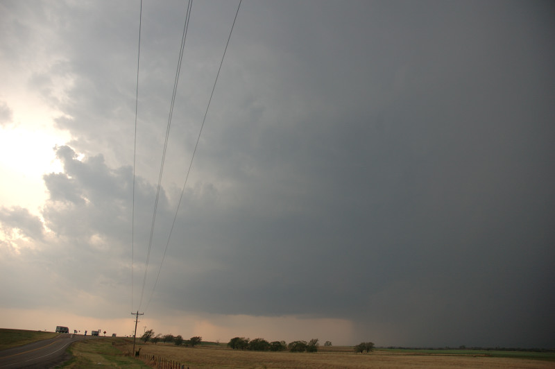
Looking west on I-40 just west of Clinton, OK.
This was the first date of my two week trip to Norman, Oklahoma and to serve as a guide/driver for Tempest Tours Tour 1. I landed at Will Rogers Airport in Oklahoma City just after 3:00 PM, and decided that the conditions were just too good not to chase. My decision, in fact, was to choose between Saturday (April 25) and Sunday (April 26) as chase days becuase I didn't want to spend the whole time chasing. I wanted to take some time to visit people in Norman as well. Seeing a decent chance of storms and more interesting hodographs on Saturday, I had decided to chase on Saturday, if at all, and to skip Sunday. It turns out that the better opportunities to see tornadoes was on Sunday during the high risk, but the high risk was essentially a bust, and Saturday turned out to be a nice day, anyway. After picking up my rental car at the airport, I immediately headed west on I-40. Since I had a rental vehicle and no optional insurance, I wanted to stay far away from any hail cores. I would observe the storms from a respectful distance. The first storm I saw was in the Clinton-Weatherford area. This one had a nice updraft base with occasional RFD intrusions into the base and occlusions but no intense areas of cloud base rotation. This cell did not last too long due to a left-moving storm that soon collided with my storm. Thus, I was forced to head southward to the next storm. Before that happened, my storm produced baseball size hail. I'm glad I avoided that. The next storm was a bit more interesting than the first. I found it just west-northwest of Corn, OK. It had many of the same features as the first storm, but it had a couple more inflow bands, and it also developed a ground-scraping wall cloud that even rotated for a minute or two. I pursued this storm for a bit as it headed northeastward toward I-40, then headed home as the storm slowly shriveled and went through the supercell spiral of death.
Looking west on I-40 just west of Clinton, OK.
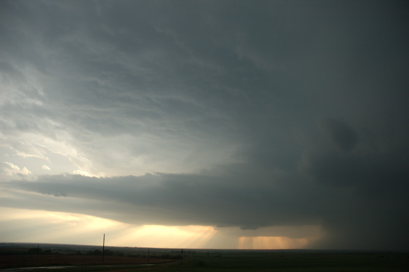
Second cell, looking west, between Clinton and Corn.
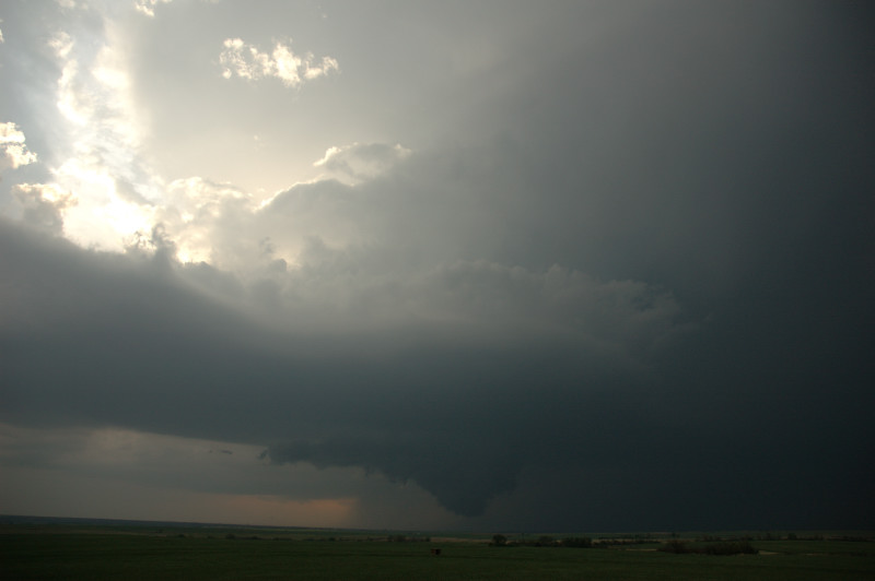
The cell formed this wall cloud for a few minutes.
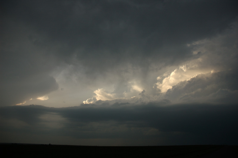
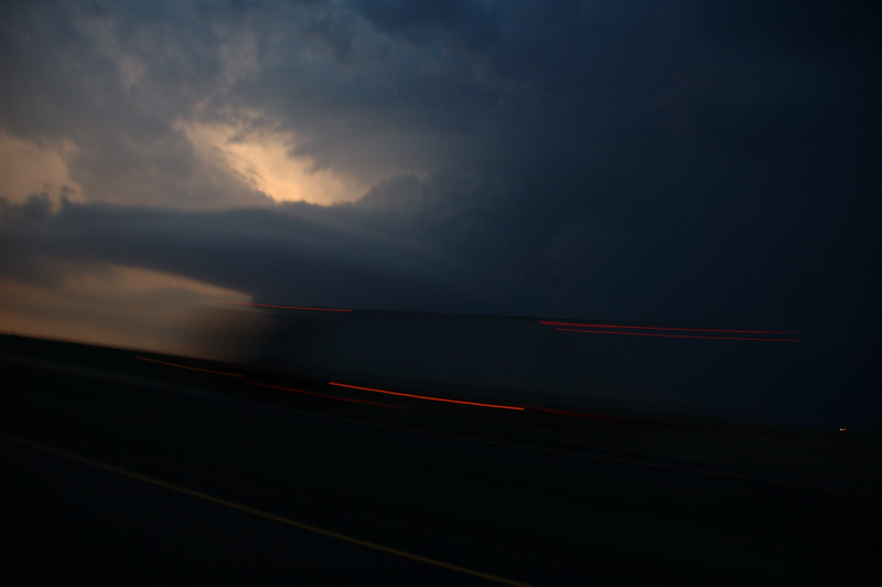
Looking north at sunset.
Last view of the storm, shrinking, on I-40, heading back east.