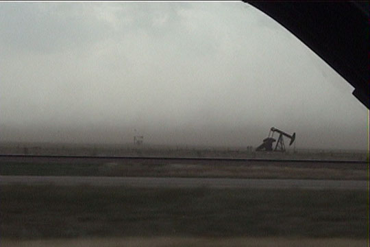
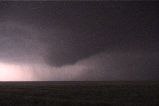
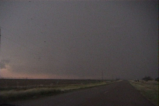
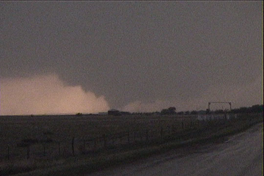
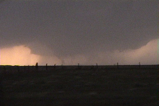
South of Dalhart, TX looking west. Lots of dust is blown about by strong southeasterly winds.
We began the day in Shamrock, TX and drove to Amarillo in the early afternoon. Southeasterly winds were gradually increasing during the day, and by mid-afternoon, they were gusting 30-50 mph over the central and northern Texas panhandle. As we moved west, the cloud bases got higher, and the winds veered a little bit. Winds were a little more backed farther north, and with the somewhat lower temperature-dewpoint spreads to the north, that's where I wanted to be. A storm soon developed west of Dalhart and became tornado-warned about an hour or so later. After much worry on my part about being just a little too far south, we finally drifted north, but I was worried we'd be too far behind the northern storms.
South of Dalhart, TX looking west. Lots of dust is blown about by strong southeasterly winds.
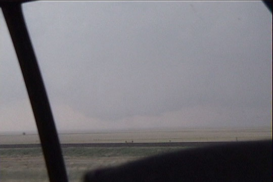
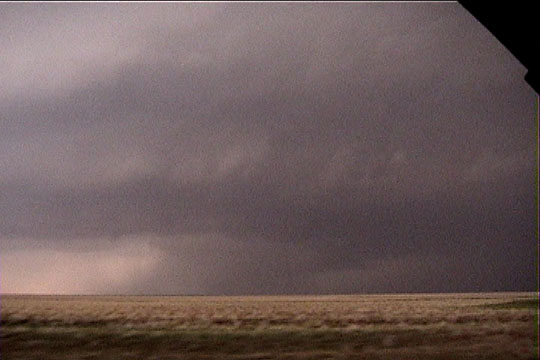
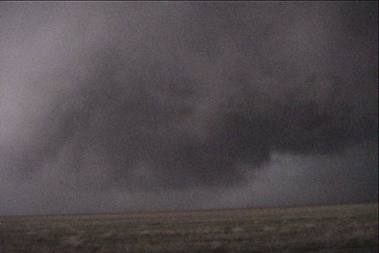
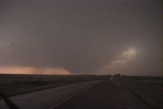
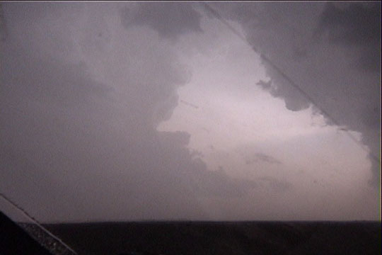
Fortunately, no sucker storm developed south of us, so we continued on our northern track, with lots of blowing dust obscuring visibility along the way. We came through Dalhart with the storm well east of us, but fortunately, the storm, at this point, was slowing down considerably, and this allowed us to catch up to the updraft base. For a while, it did not look particularly impressive, but the updraft base then suddenly developed a bowl-shaped look.
Storm develops a bowl-shaped updraft base. A larger
action area is to the right of the field of view, not yet visible to us
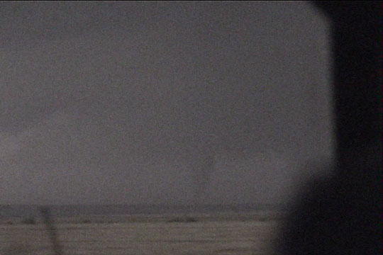
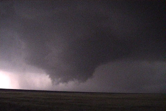
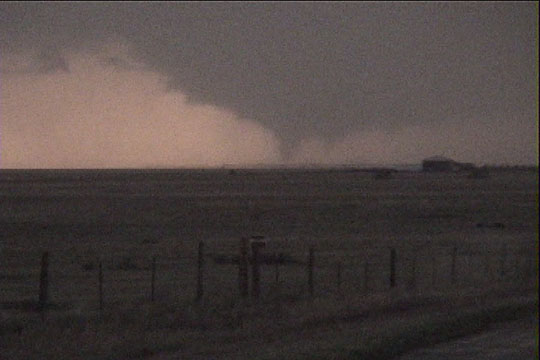
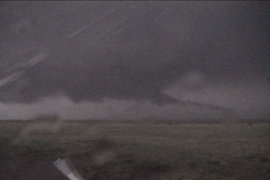
I radioed to the rest of the team that the base was looking much more interesting, and the radar operators simultaneously noted a rapid improvement in the velocity fields. In a matter of just a few minutes, the radars detected a tornadic circulation with a delta-v of 100 m/s. I could not see the tornado for a minute or two, however, as the main tornado was still obscured from our view, but a second tornado then developed closer to us (which we could see), and the radar operators reported two tornadoes in progress.
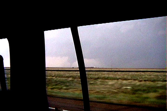
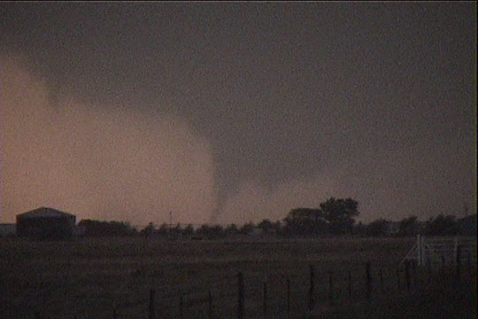
Elephant trunk tornado is the first to make an appearance.
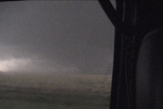
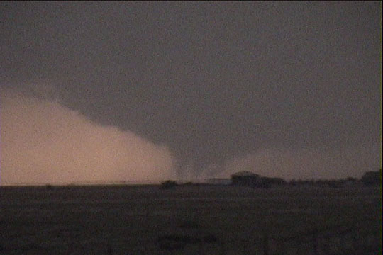
After a minute, the elephant trunk tornado began to dissipate, and a much larger tornado became visible farther to the north. I had to bump up the contrast in these images to make the wedge visible on the video captures, because it was barely visible to us in real time. The following web pages have much higher contrast images: Fritz Kruse and Dave Lewison.
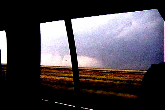
Elephant trunk tornado is dissipating while wedge-shaped tornado is becoming visible to right.
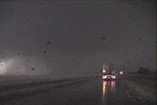
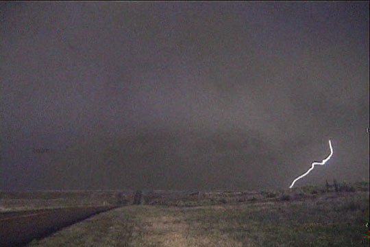
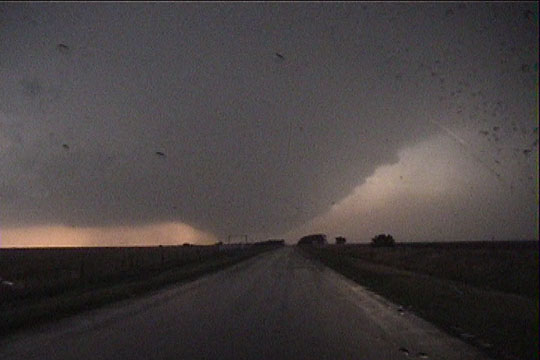
We moved north out of Stratford, and the tornado became obscured by rain from our point of view. Interestingly, it was a bit more visible from the immediate south and west. Usually, rain obscures the view from these directions first, but our eastern view became obscured in this case.
Driving north from Stratford. Tornado is obscured from our view by rain.
The wedge "lifts" and a smaller tornado becomes visible.
We continued several miles north from Stratford for a three-DOW deployment, getting into golfball size hail, darkness, and some rain. We eventually picked a spot to deploy, and my vehicle stopped with DOW2, as our view of the tornadic circulation was becoming completely obscured by precipitation. As soon as we stopped, a second tornado developed immediately to our southwest moving east-northeast. This tornado never had a condensation funnel to the ground, and the circulation broadened rather than tightened up, but the motion was certainly tornadic, and wind speeds on radar were 50 m/s or more, so I'm calling this one a tornado. It's certainly a circulation, from which I would not want to risk a direct hit.
A cone is barely visible on camera.
DOW, hail, and faintly visible cone(?)
New tornado developing directly to our southwest
New tornado.
Driving south, circulation broadens and comes too close for me to encompass the whole circulation
on video.
Looking back north at the now broader circulation.
The second tornado was still in progress, but it was completely obscured by rain, and it passed just to our north. RFD winds on the back side of the second tornado exceeded hurricane force. After a few minutes collecting data on the tornadoes, we began to move east again for new deployments on the storm. However, DOW3 became stuck on a dirt road, much to my dismay. This forced us to stop the chase in Texoma and wait for DOW2 to rescue DOW3. Unfortunately, the paved road that DOW2 took was covered with downed power lines, and it was impossible to get through. This necessitated that the scout vehicle (the vehicle I was in) drive to DOW3's location from the south. I did not want to leave the tornadic storm we had been on, but we turned out to be very lucky. A new storm had developed to our southwest, and it soon produced a tornado.
Base becoming visible on new storm southwest of Texoma.
Nicely shaped updraft to the new storm.
Funnel reaches ground.
Multiple vortex tornado in progress (most tornadoes probably are this way at some point).
Tornado.
Only one condensation funnel now.
Zooming back out-- view of the updraft.
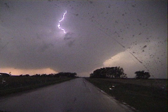
Lightning emerges from the updraft.
Last multiple vortex stage as tornado starts to dissipate.
A third storm to our south.
Tail cloud on the second storm after the tornado.
After four hours waiting for the roads to dry, DOW3 slowly limped out, back onto pavement, so we planned to get to Amarillo to stay for the night. Only a few miles down U.S. 54, DOW3 suffered a breakdown in its braking system, forcing us to stay in Stratford for the night. This forced us to miss the next day's chase in Oklahoma, but this chase was generally in the jungles of eastern OK and northeast TX, so we didn't really miss anything.