The Setup
A mid-September slight risk in western Minnesota! If you get a potential chase in Minnesota in September, you better take advantage of it because it could be a long time before a severe weather threat appears again. I was in the Twin Cities while my sister was out of town, and I drove their kids to school in the morning. I was supposed to pick them up in the late afternoon, but friends wanted to go storm chasing, and the probability of a fun, severe storm looked good enough that I was willing to go chasing. On the downside, I was scheduled to help coach at a mountain bike race the next morning, so I would probably be a bit tired for that. Nevertheless, I hadn't chased with Scott and Shaun in a long time, and now was the ideal chance to do that.
The slight risk had been forecast for several outlooks. On the Day 2 outlook, the SPC had added a tornado risk area mostly in north-central Minnesota, and the HRRR showed the most supercellular storms right over Itasca County. I commented that I might as well have stayed home as the chase would be more appropriate from Grand Rapids. However, as Day 1 came along, the risk area dropped somewhat more to the southwest. Similarly, the HRRR was now showing supercells more toward western Minnesota (but still also in northern Minnesota) with the tail end looking somewhat more linear. My experience with severe weather setups with southwest-northeast-oriented lines in western Minnesota told me that it is best to be at the southwestern end of the line (i.e. Tail End Charlie). Somewhere in the western hump of Minnesota (maybe in Wilkin County) would be the best place to wait for development. Scott picked Hoffman, Minnesota as the target, and that was good enough for me. Initiation was expected by 6:00 PM, and supercells were expected by 7:00 or 8:00 PM, just as sunset was happening.
The Chase
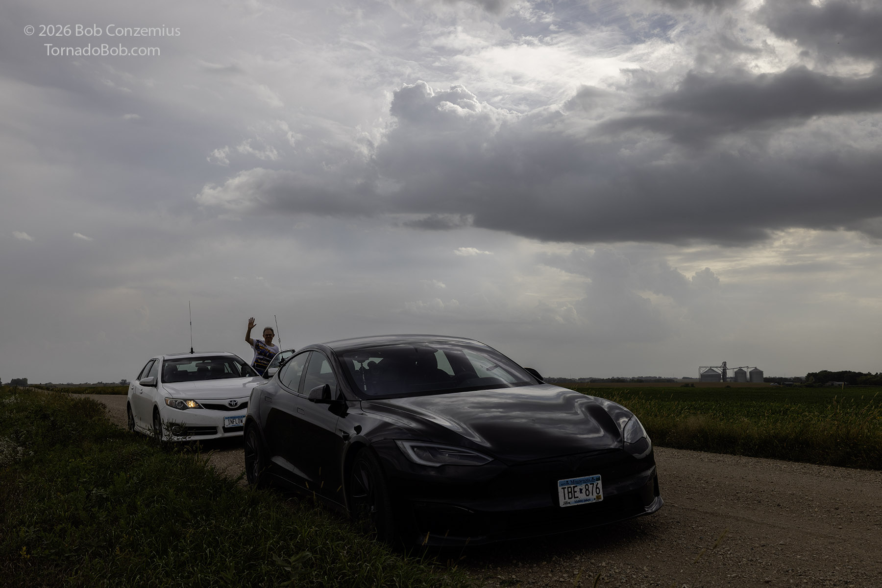
I left my parents' place at 1:05 PM CDT, timing my departure to put me within radio range of Scott as he left his house in Fridley at 1:30 PM. We converged on I-94 westbound and drove up to Alexandria, where Scott popped into the McDonald's restaurant to grab a meal, and I drove over to Target to charge the car and grab some snacks. This took about 25 or 30 minutes and we were back on the road to our target town of Hoffman. We pulled up to a gravel road about a mile east of town and waited for initiation. There were towering cumulus mostly to the west and southwest of us, and a couple of weak, elevated storms developed to our east. While we were there, Shaun, who had been stuck at work for a couple additional hours, met up with us.
Somewhere in the pre-initiation part of the chase, Scott asked me what I thought we would see today. I answered that I think we would see a supercell or if we saw linear storms, then there would be supercellular elements embedded in the line. I didn't want to set Scott's expectations too high, but this is what I thought we would see.
We waited at our Hoffman location for nearly two hours! My Google timeline says we were there from 4:12 PM to 6:06 PM. During this time, we watched a southwest-northeast line of clumping cumulus slowly approach from our northwest. A few cells popped out of this line, mostly to our southwest. For quite some time, none of these looked particularly strong, so we held our position, ready to drive toward any dominant storm in the cluster. With time, the clumping cumulus area got farther south, so I suggested we should go a few miles south.
First Severe Storm
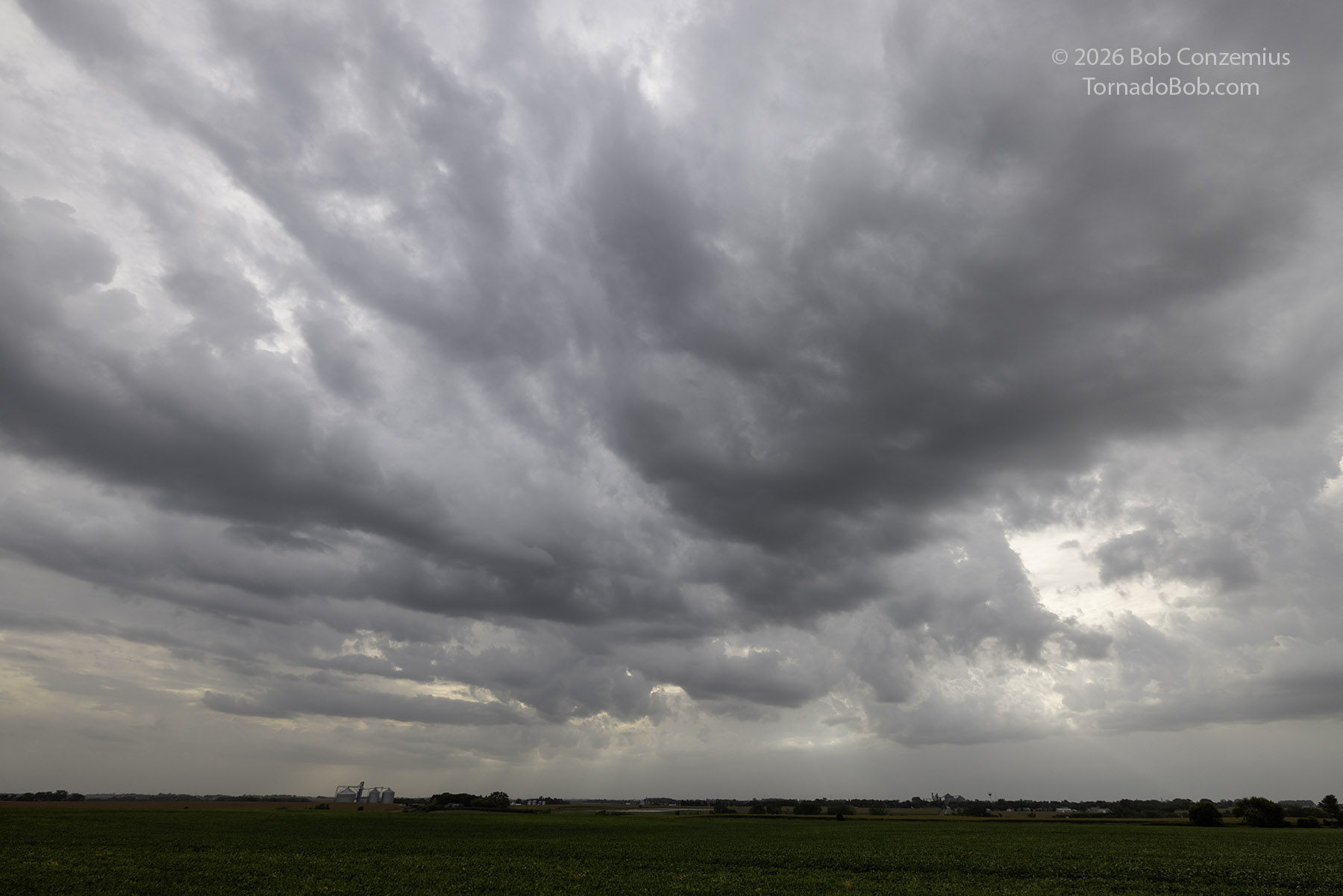
A dominant cell was growing just south of Herman, and I wanted to get in front of it, so I set in a course south on 59 a few miles then west. When we arrived on the dominant storm, it became warned, but it was a bit difficult to pick out a strong updraft. The storm was severe-warned, but its appearance was just as a large area of precipitation and some thunder and lightning to our west through north. As we waited about five miles east of Herman, a relatively modest updraft base finally revealed itself, and it had a modest wall cloud. Soon, however, a cell strengthened south of us, and I could feel its outflow cooling the inflow air to our storm. It was time to hop south!
First Supercell
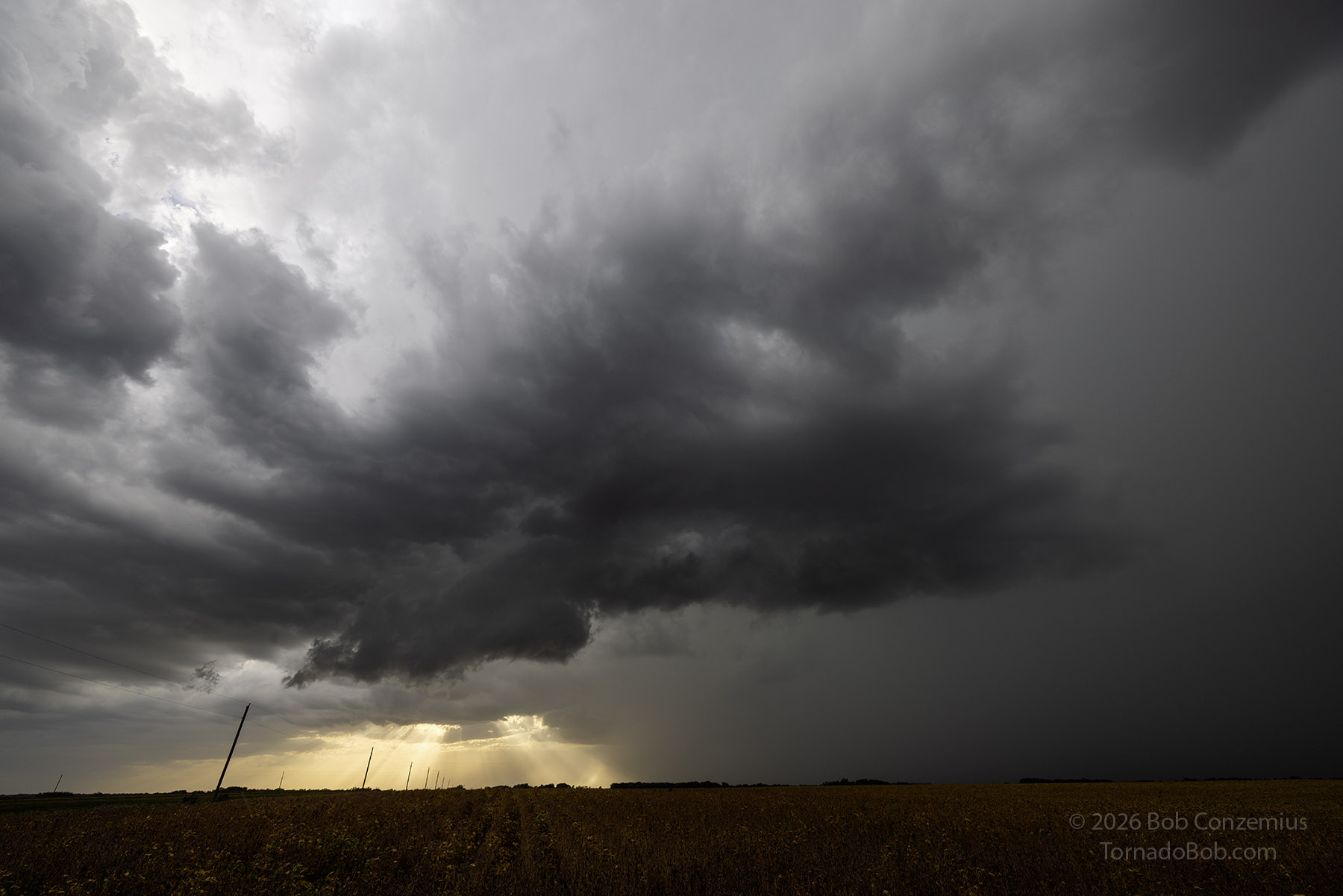
We drove south to Donnelly and hopped on Minnesota Highway 9 heading south-southeast. At Morris, we turned south on U.S. 59. When we made the turn, the outline of a firm, crisp anvil revealed itself. Below the anvil was what appeared to be a large cumuloform inflow band. I always like to see these inflow bands because they are a sign of atmospheric lift (the "L" in the SLIM algorithm) that will keep the storm around for a while. These features connected to a decent updraft to our west.
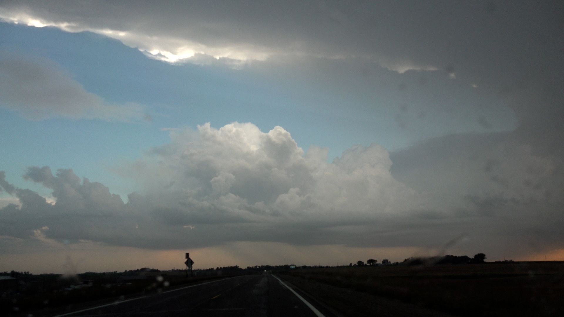
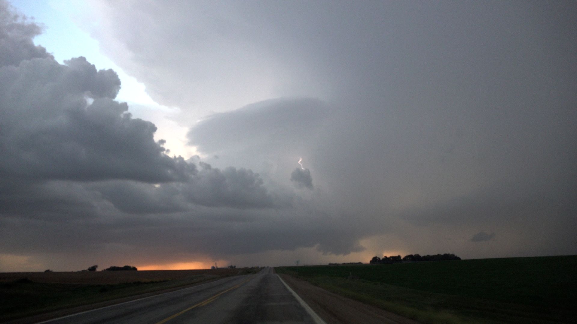
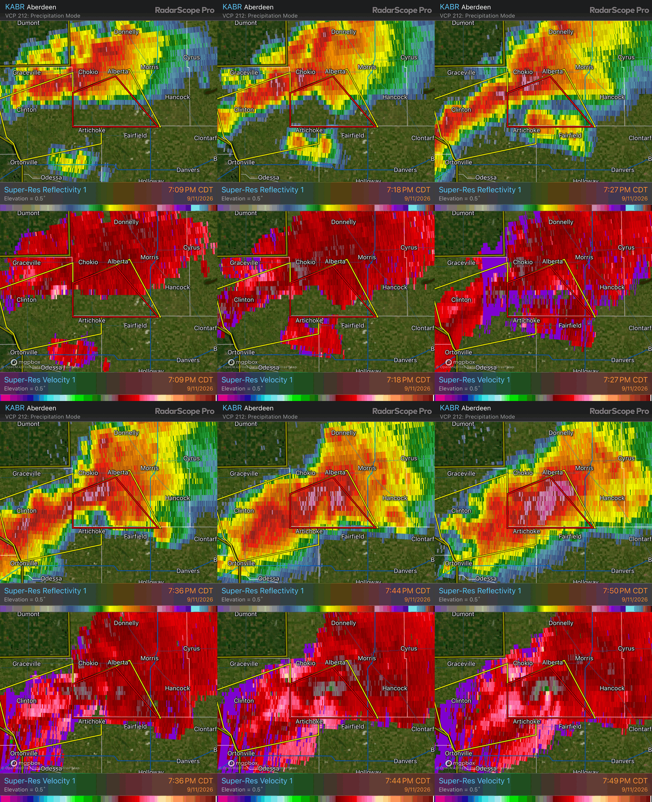
We turned west on County Road 8 and found a storm with all the features of a supercell. My forecast of a supercell intercept today had now verified! I staked my claim with Scott and Shaun at this point, since this is about what I thought we would see today-- nothing better, really. This was not the most spectacular supercell example, but the storm did have a solid updraft with a pretty impressive anvil, a wall cloud, and the updraft above the non-rotating wall cloud was punctuated by lightning. There was a pretty beefy base just to the south, though, and it was encroaching on our storm. Radar also showed a core developing there, as well as storm lining out to the southwest of our storm. Our supercell structure was soon to become obscured, but I wanted to monitor things for a bit longer. Right about when I would have otherwise departed southward, I noted increasing differential motion with north-to-south cloud motion west of the wall cloud, and south to north motion was occurring on the forward side of the wall cloud. This pushed me to hold position for a bit longer.
The Tornado
I expected to see a supercell today, but I did not expect to see this! Holy cow!
When the rain was just about to munch us, we darted back to U.S. 59 and south. We had an intensifying core, and the rain was obscuring our view of everything. I did not want to get in hail, either, so I wanted to avoid the heaviest part of it. We needed to get back to the south side of this core to reestablish visibility of the updraft.
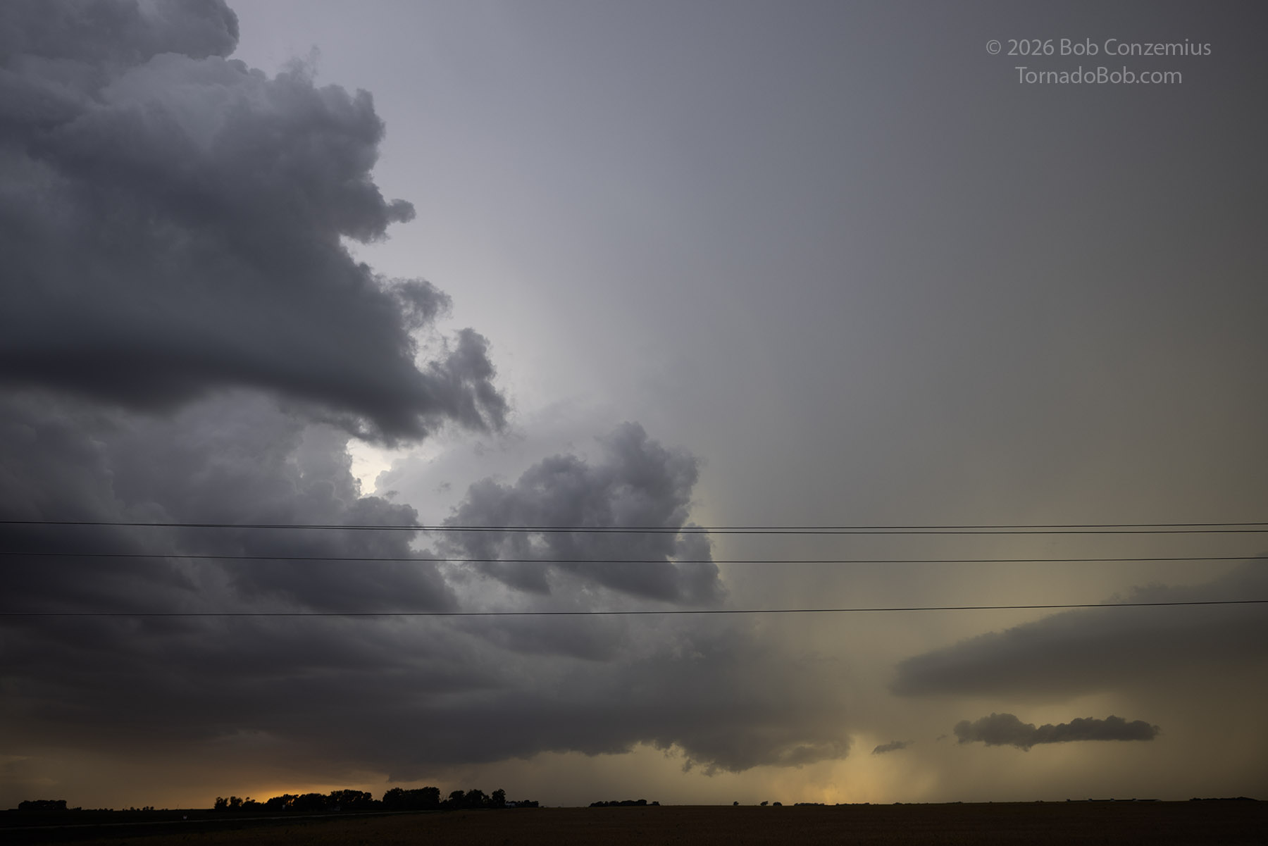
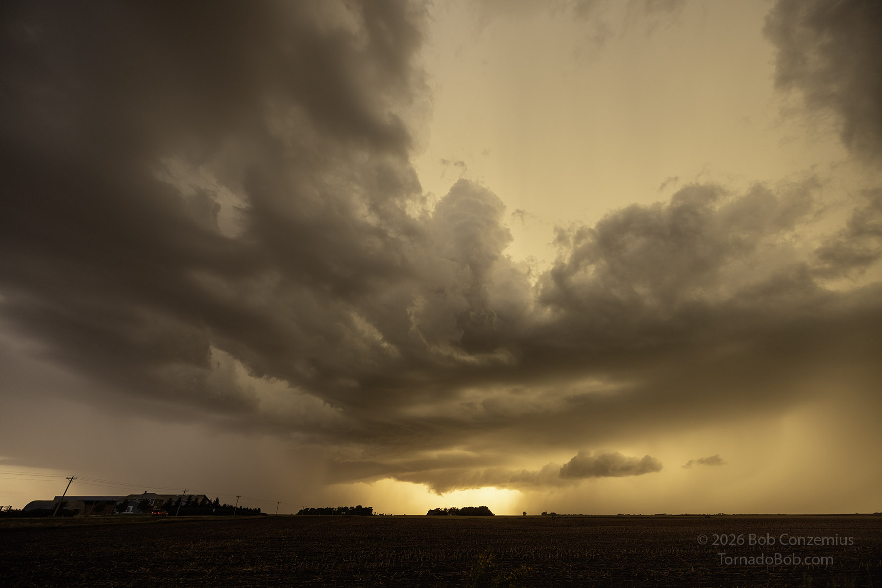
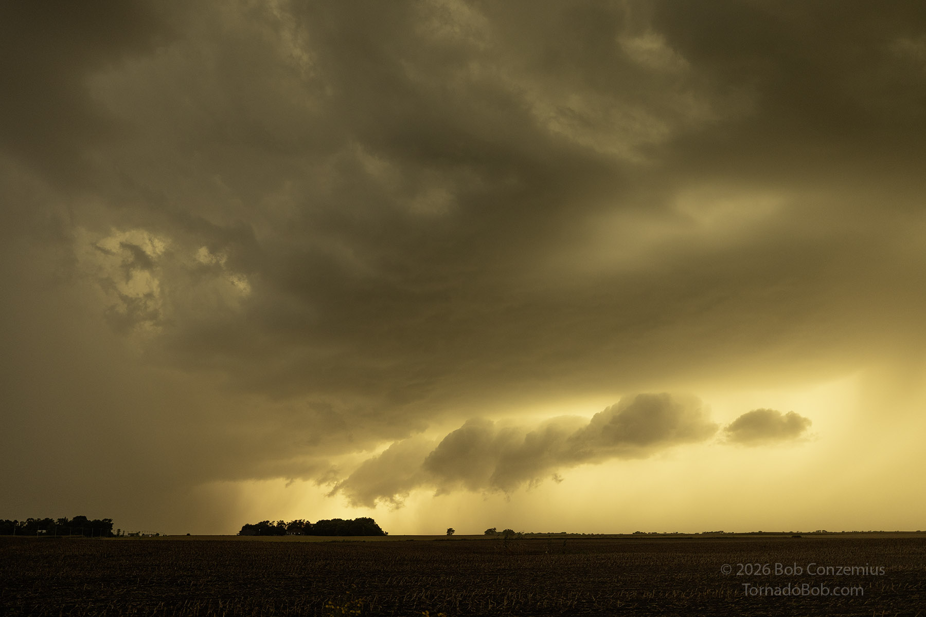
It didn't take too long to drive through the rain. The cell was pretty small, and it was moving northward at a pretty good clip, so we were out of it fast. The way the cell was merging with our supercell, east of the supercell's updraft, I figured there was a chance that something interesting could happen. I also thought that whatever did happen would not have great structure because of the storm interference. I was wrong! I was certainly not expecting to see the structure that greeted us on the south side of that rain core! We had a well-defined HP/classic updraft barrel directly to our west with quite a nice wall cloud underneath it. I thought about which westward gravel road would be best for photography, but sunset was now just past, and we needed to pull over ASAP! We turned onto the first gravel road we could find as a funnel developed from the center of the wall cloud and reached at least 90 percent of the way toward the ground. Because it was getting dark, we were nine miles away, and we were driving, I was unable to stare at the cloud elements long enough to confirm rotation, but the laminar, funnel shape was unmistakable. I yelled out "tornado", but it didn't sink in with Scott and Shaun right away. They were discussing other aspects of the storm on the radio, and I needed to yell "funnel" then "tornado" more emphatically to focus the conversation more on this significant development.
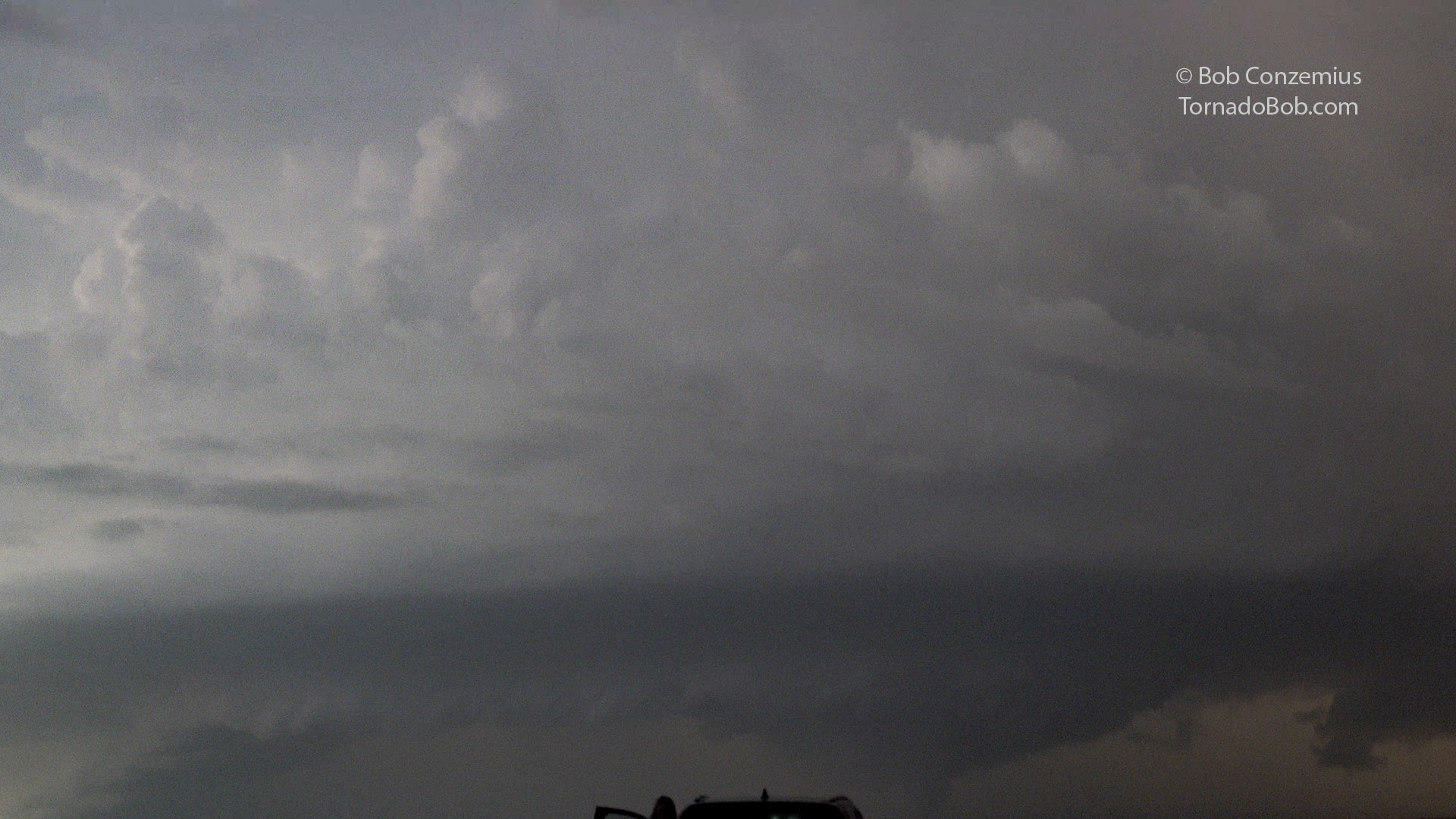
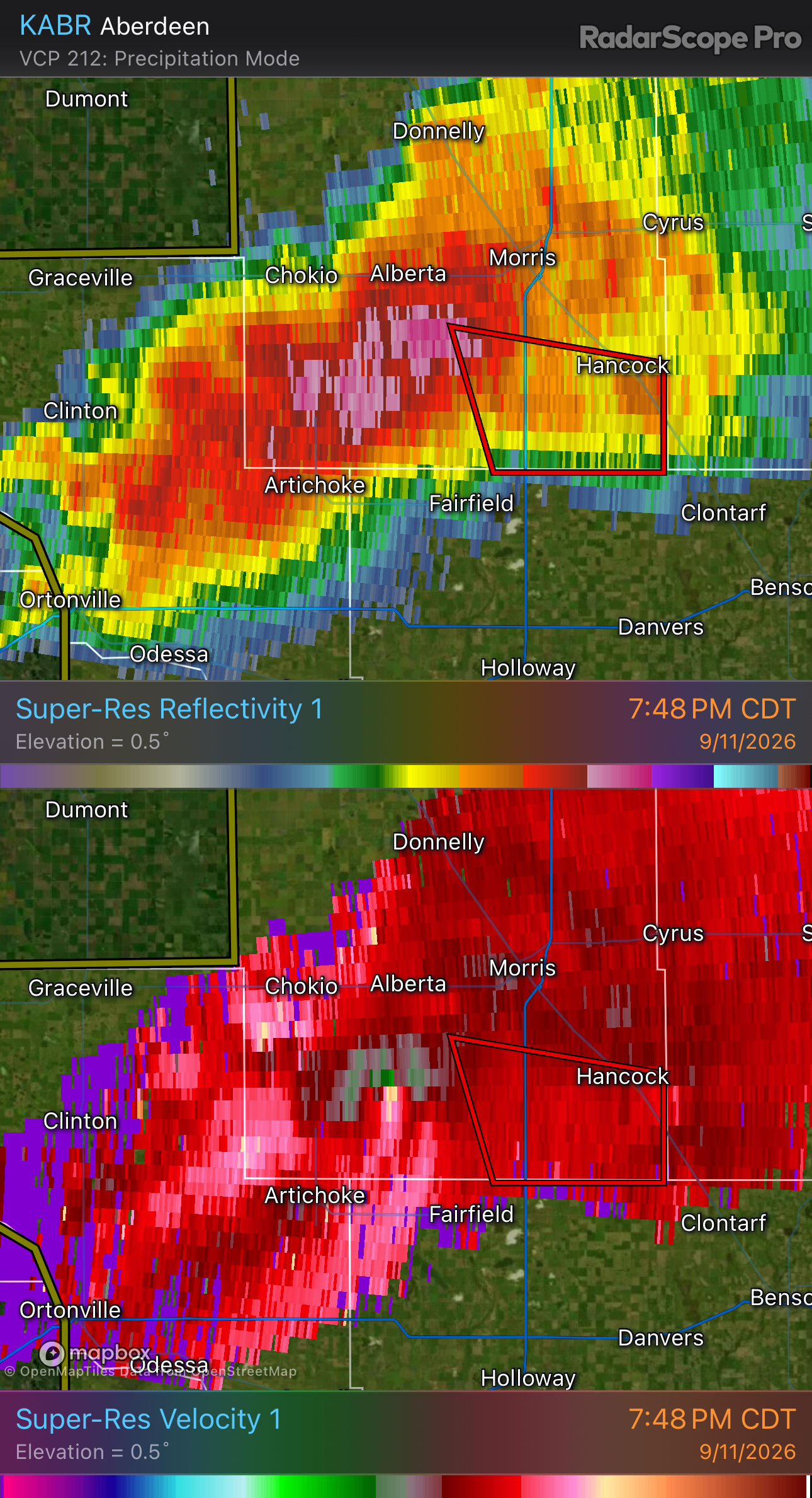
When I made the turn onto the gravel road, I hit the record button on my camcorder, but I was too zoomed in, and the camcorder only captured the top three quarters of the condensation funnel with no ground in the video. It also cut off at the top of the car that was immediately in front of me. Coincidentally, the person in front of me was my neighbor who lives only a couple blocks away from me. I've never actually seen her in the neighborhood, but this was the second time I had run into her on a chase. The previous time was on a supercell day that eventually produced tornadoes. I guess she is good luck.
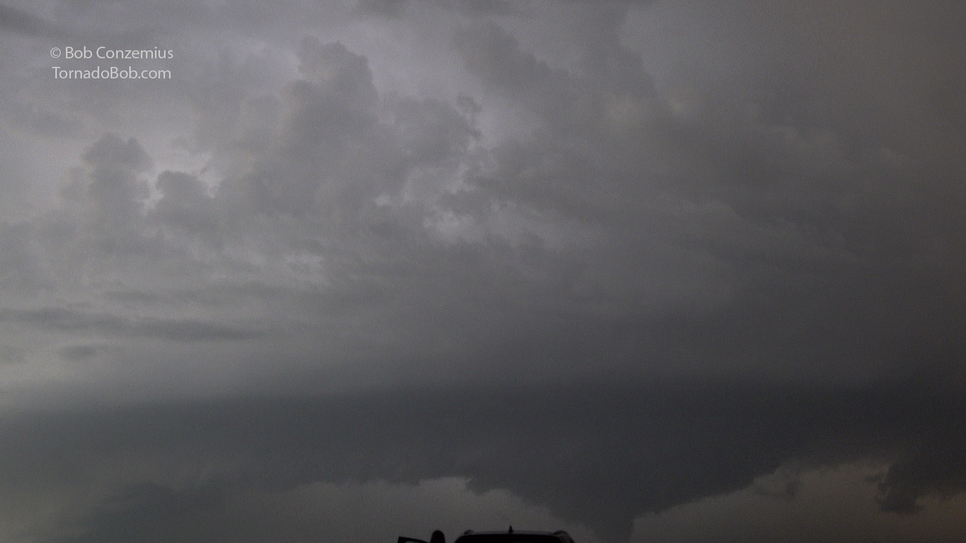
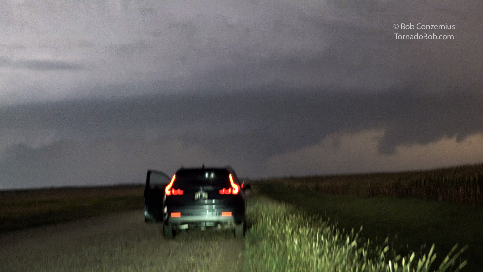
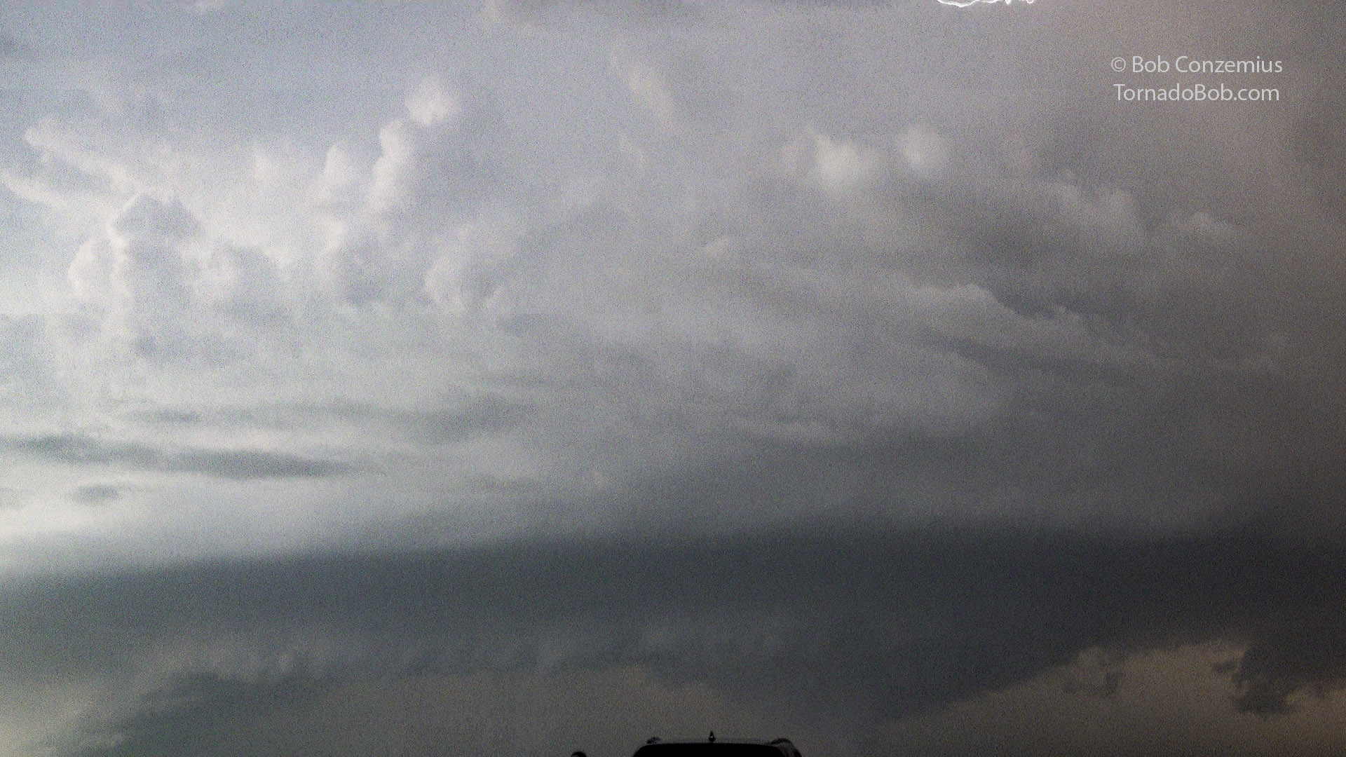
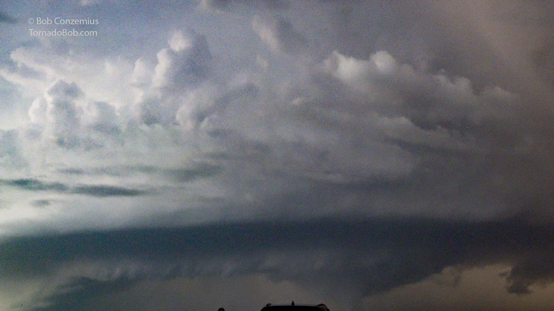
Anyway, the condensation funnel dissipated in less than a minute, leaving a rotating wall cloud. I had driven ahead a couple hundred yards and set up to take stills. My tripod was out of the car, and I first hit the record button to take some video from the R5. I could not stop yelling "Holy Cow!" It was not the most spectacular supercell I had ever seen, but it was far more spectacular than I was expecting for today. I set up tripod to compose a timelapse from still photos from the R5.
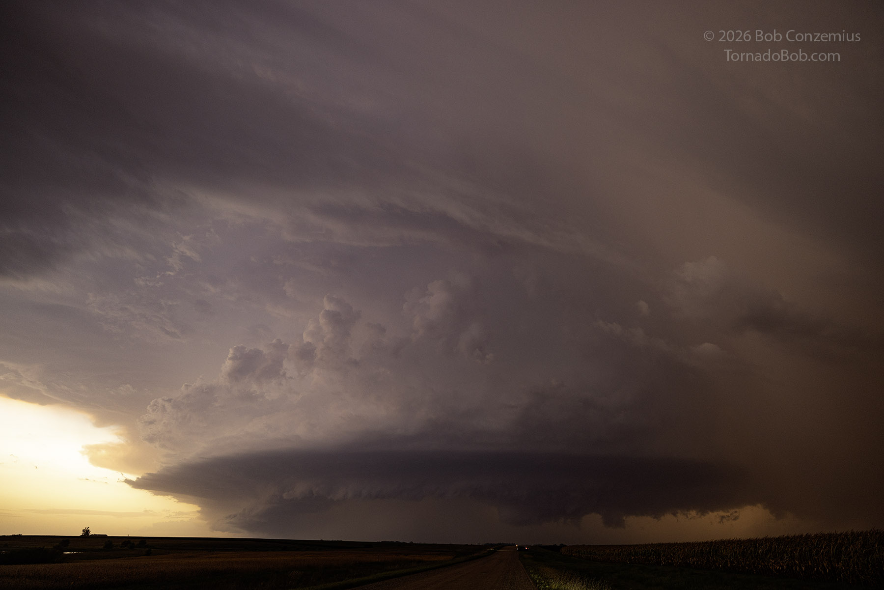
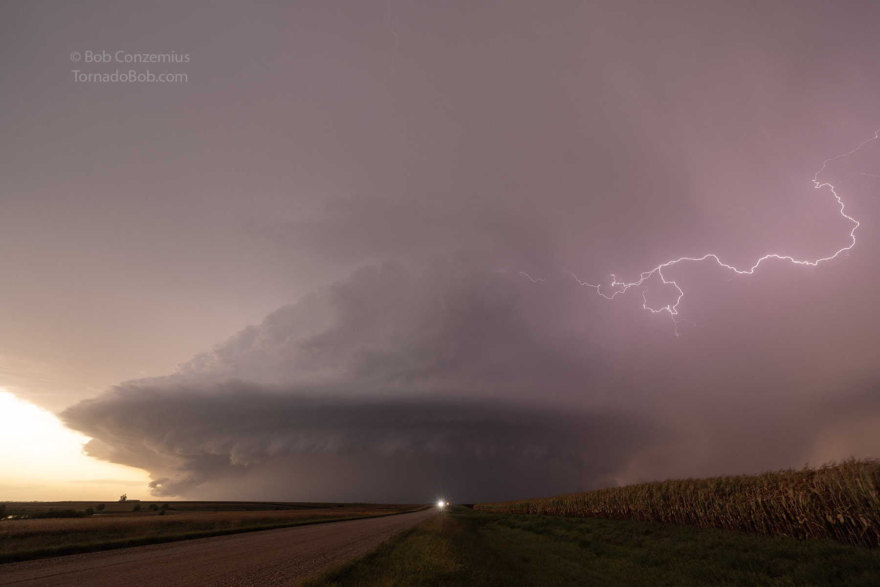
The storm was now encroaching upon my position, and it was time to move east. I'm not sure exactly where Scott and Shaun ended up, but I saw that the gravel road we were on continued eastward across Highway 59, and I wanted to have good visibility into the notch of the HP storm, so I drove straight east. This kept me on gravel and slowed my eastward progress a bit, but I stayed mostly ahead of the rain and could occasionally stop and look back to see what was behind me. During this time, the circulation gradually weakened (according to radar), but one of my vehicle cameras showed what appeared to be a tornado in the notch. I would argue that it was simply condensation along my line of sight along this intersection between the RFD gust front and the forward flank inflow and was not actually a tornado.
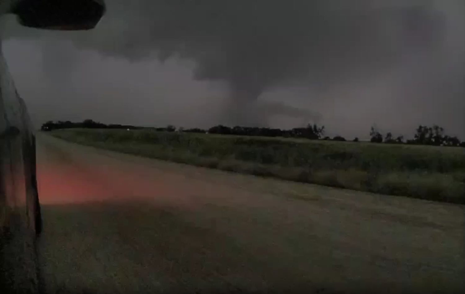
I wish I had hit the dashcam capture button when I actually saw the tornado, but I'm not sure the video would have revealed much. At least it would have shown the full funnel.
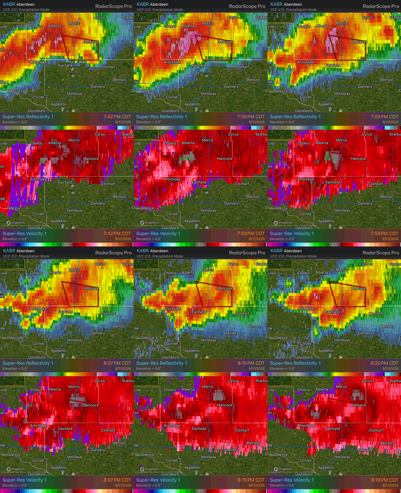
I kept pushing eastward on the gravel road with the goal of turning southeast when I hit Highway 9. Even though most gravel roads in Minnesota are improved gravel roads, I was still a little worried that the one I was on would deteriorate as I drove farther east. Luckily, this was not the case, and I could proceed at around 40 mph or so. I made it to Highway 9 with no problem and turned southeast, somehow now being ahead of Scott and Shaun.
I continued through the small town of Clontarf and continued southeast, passing a brightly lit beet processing facility. I didn't want to have these lights in the foreground, so I drove another couple miles before stopping. Behind me now was a longer shelf cloud as the storm transitioned to a more linear complex.
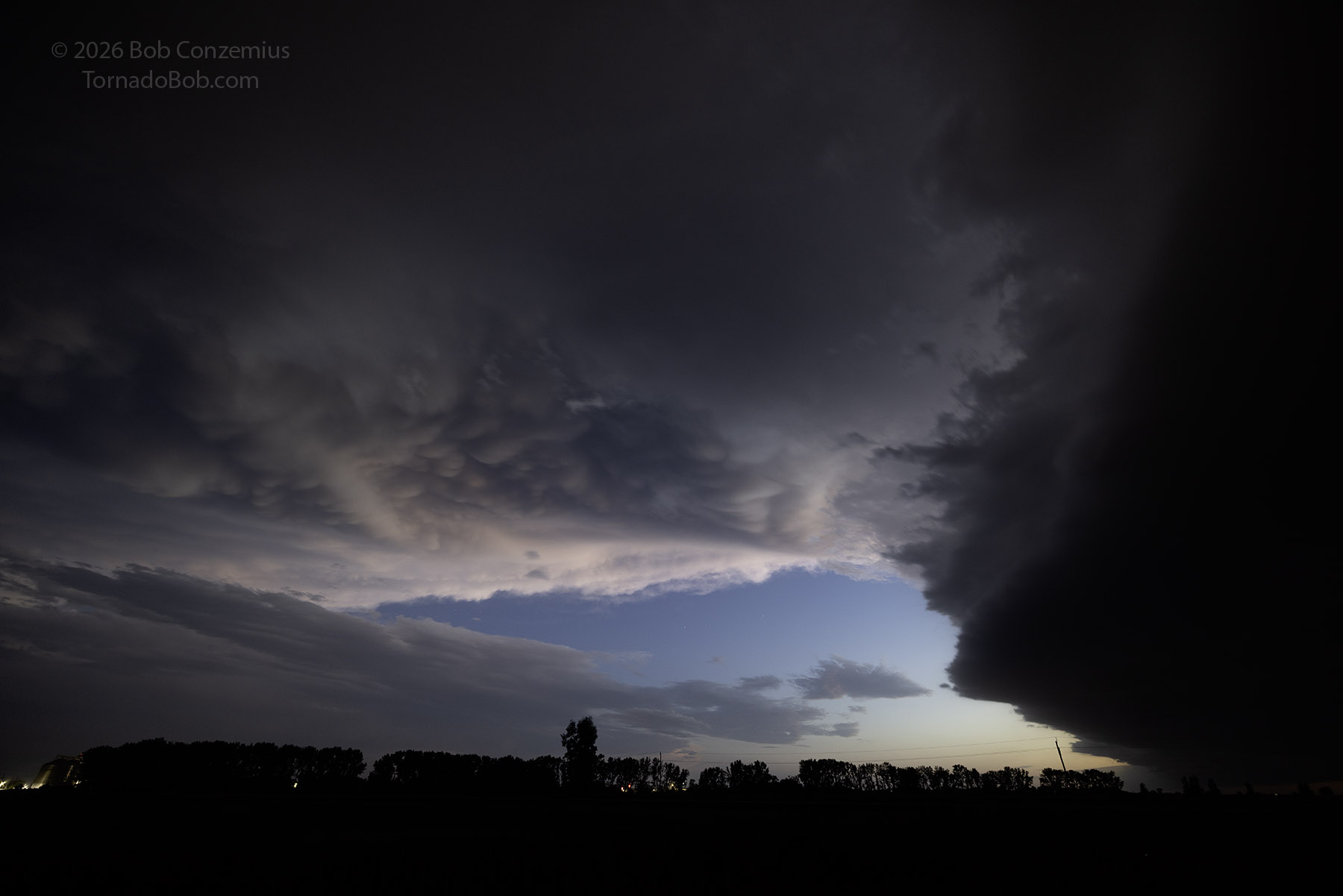
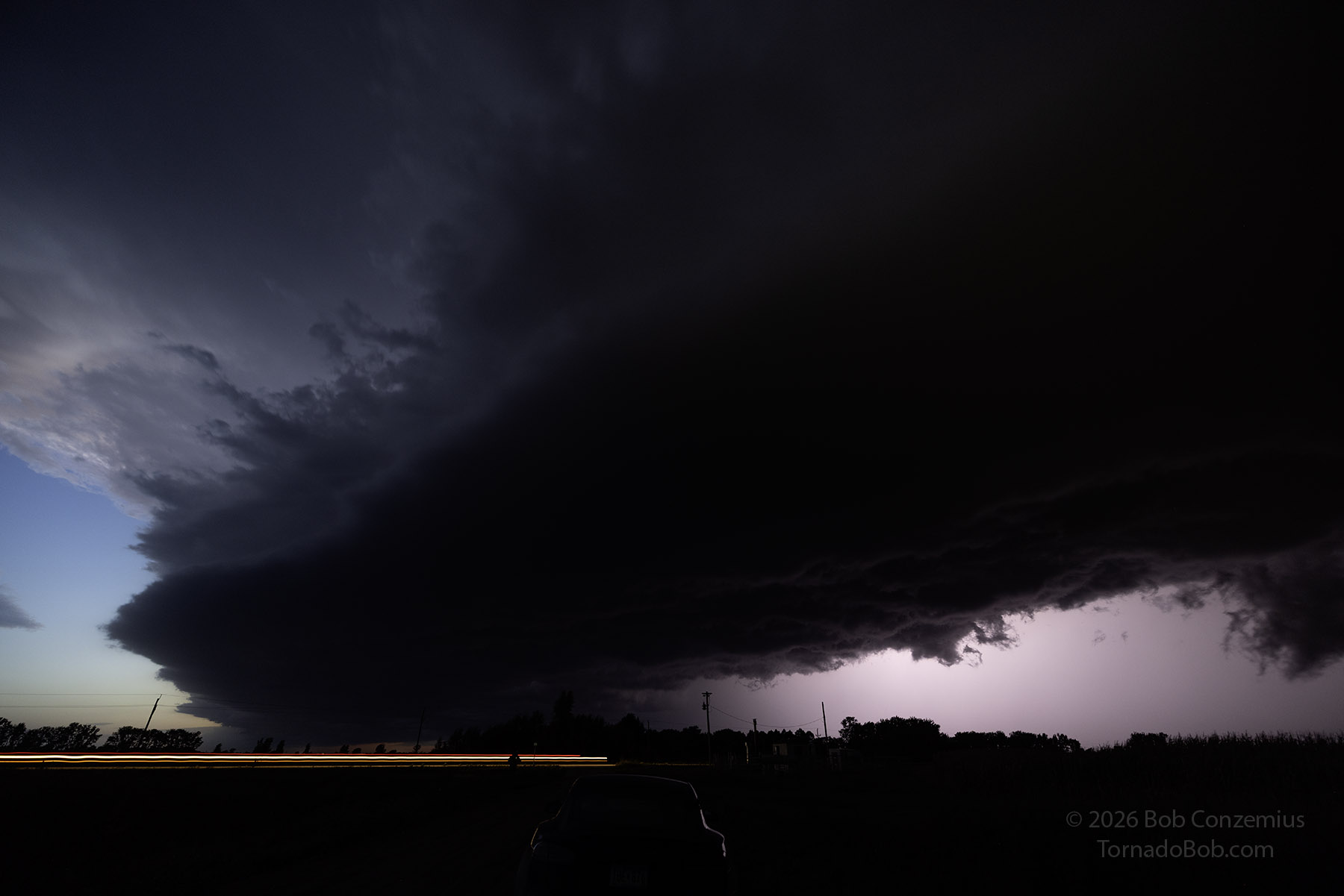
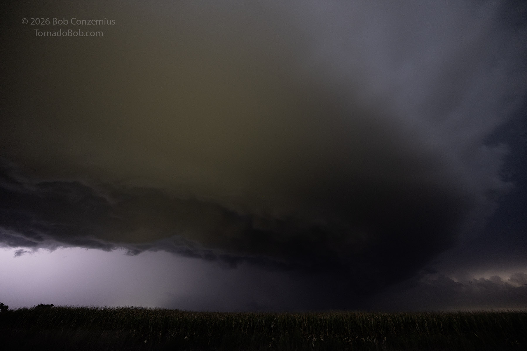
Scott and Shaun caught up to me, so I hopped back on 9 and followed them into Benson. I was worried we should be a bit farther south to avoid core, but we turned east at Benson and did just fine. We stopped a few miles east of town and did more photography in the storm. These were my last pictures of this chase.
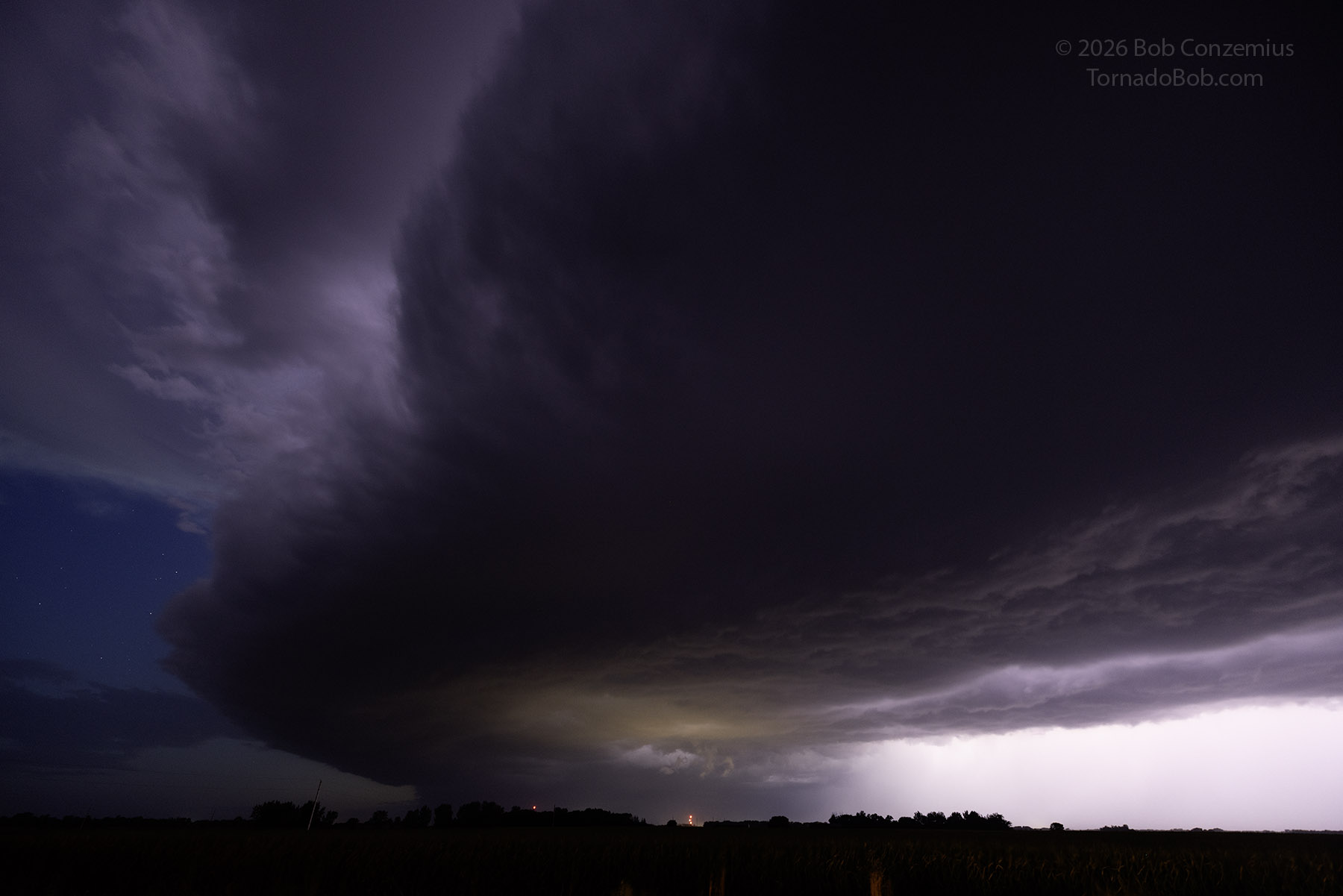
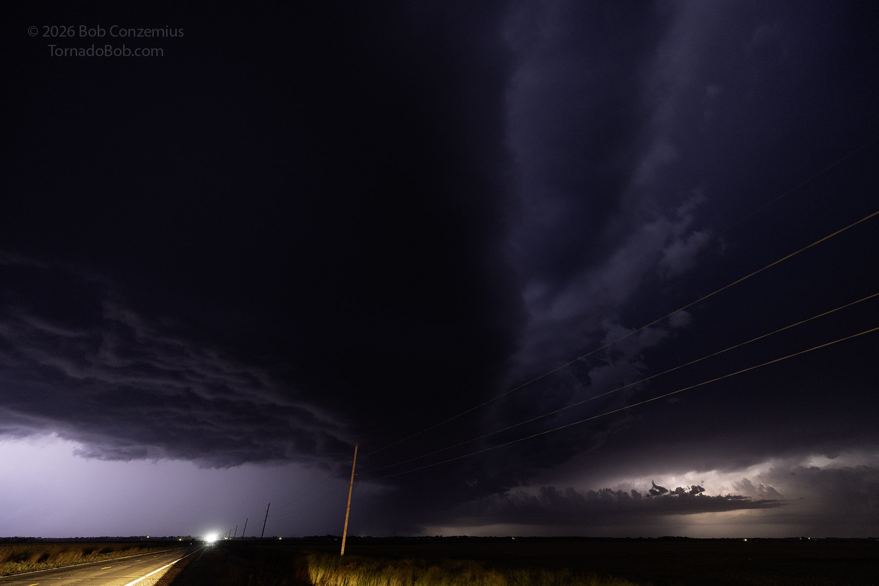
I plotted the course back to Mahtomedi, and my navigation told me to drive east to Minnesota Highway 23 through Paynesville and Cold Spring to the I-94 entrance near St. Cloud. We hopped on I-94 and made it back into the Twin Cities around 11 PM.
Wrap-up
I initially was not that keen on chasing today since I had a pretty busy schedule the rest of the weekend, but it was likely the only chance to chase with Scott and Shaun this year, so I had to take advantage of that. I was really pleased with how things turned out, especially after that cell merger. I was not super excited about the tornado itself, but the storm structure after we cleared the rain core was what made the chase! If this is the last one of 2026, it was a great way to ring out the season!