The Setup
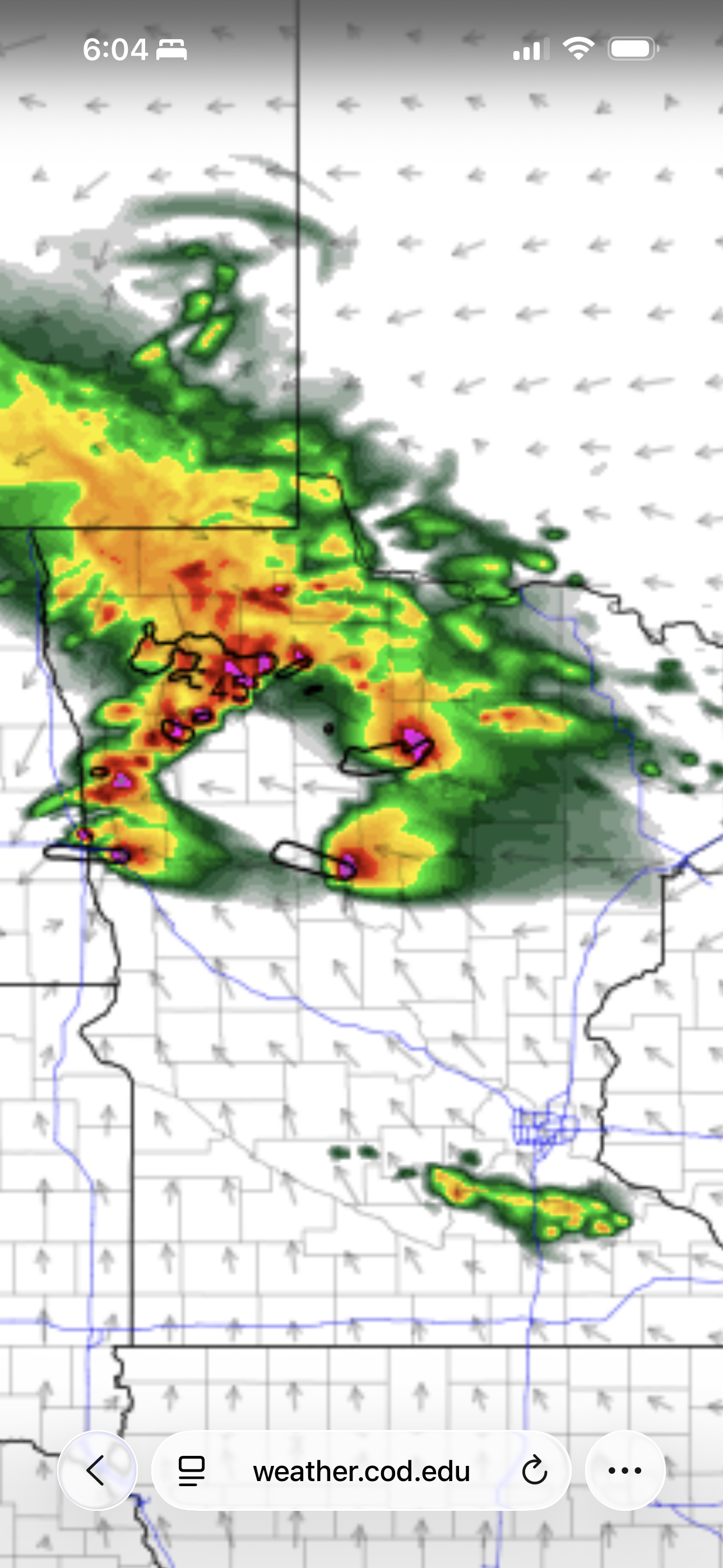
A slight risk of severe storms came to central and northern Minnesota today. It was an ideal day for a chase, but I had mountain bike practice, and I didn't want to miss that. Also, since there was a risk of storms affecting the practice location, I felt it was useful for me to be there to organize the timing of the end of practice. There was a line of storms approaching Grand Rapids, and it was not weakening at all. We easily had an hour-long ride through the woods, but after that, we would have to be close to the parking lot because storms would be close by.
After practice was called early (around 6:30 rather than 7:00), I returned home to watch the first line of storms and grab a couple things to take on the chase.
The Chase
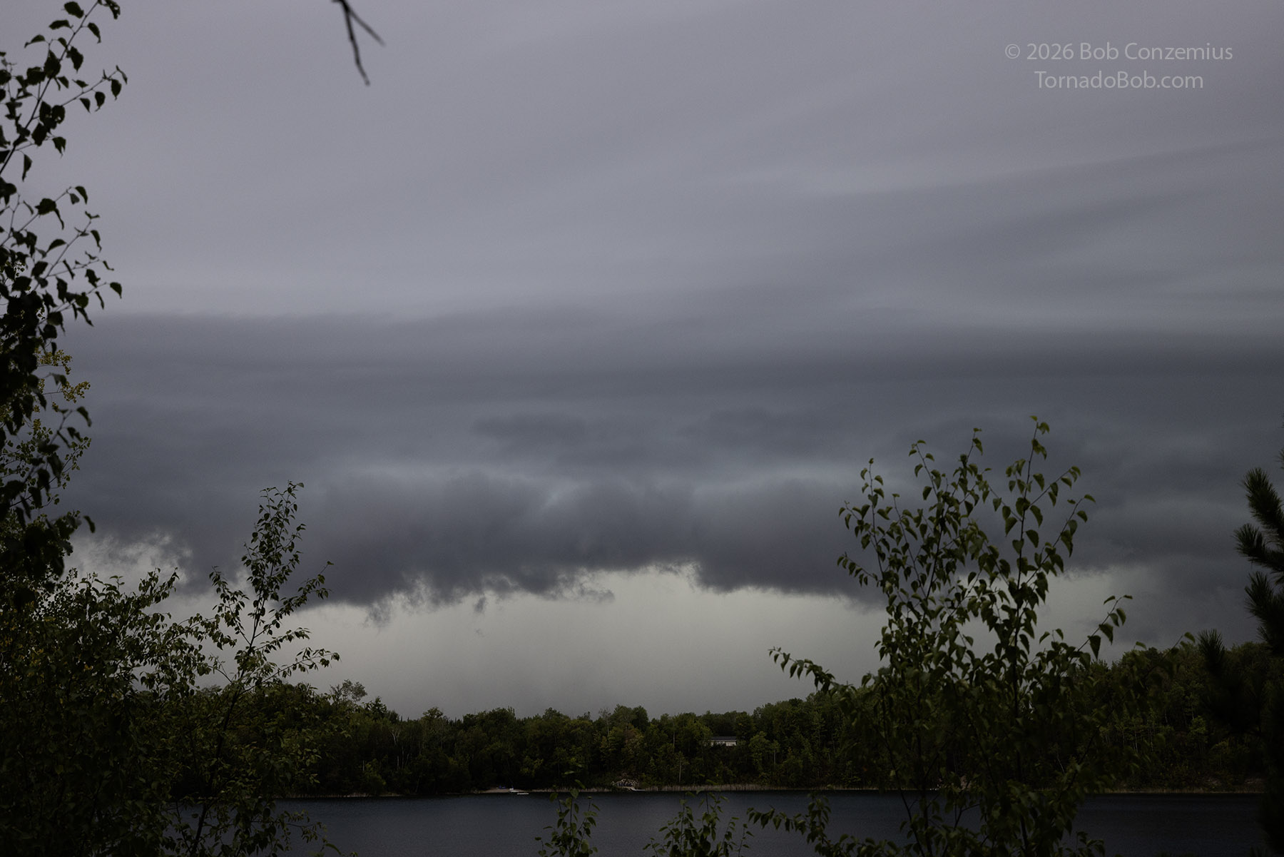
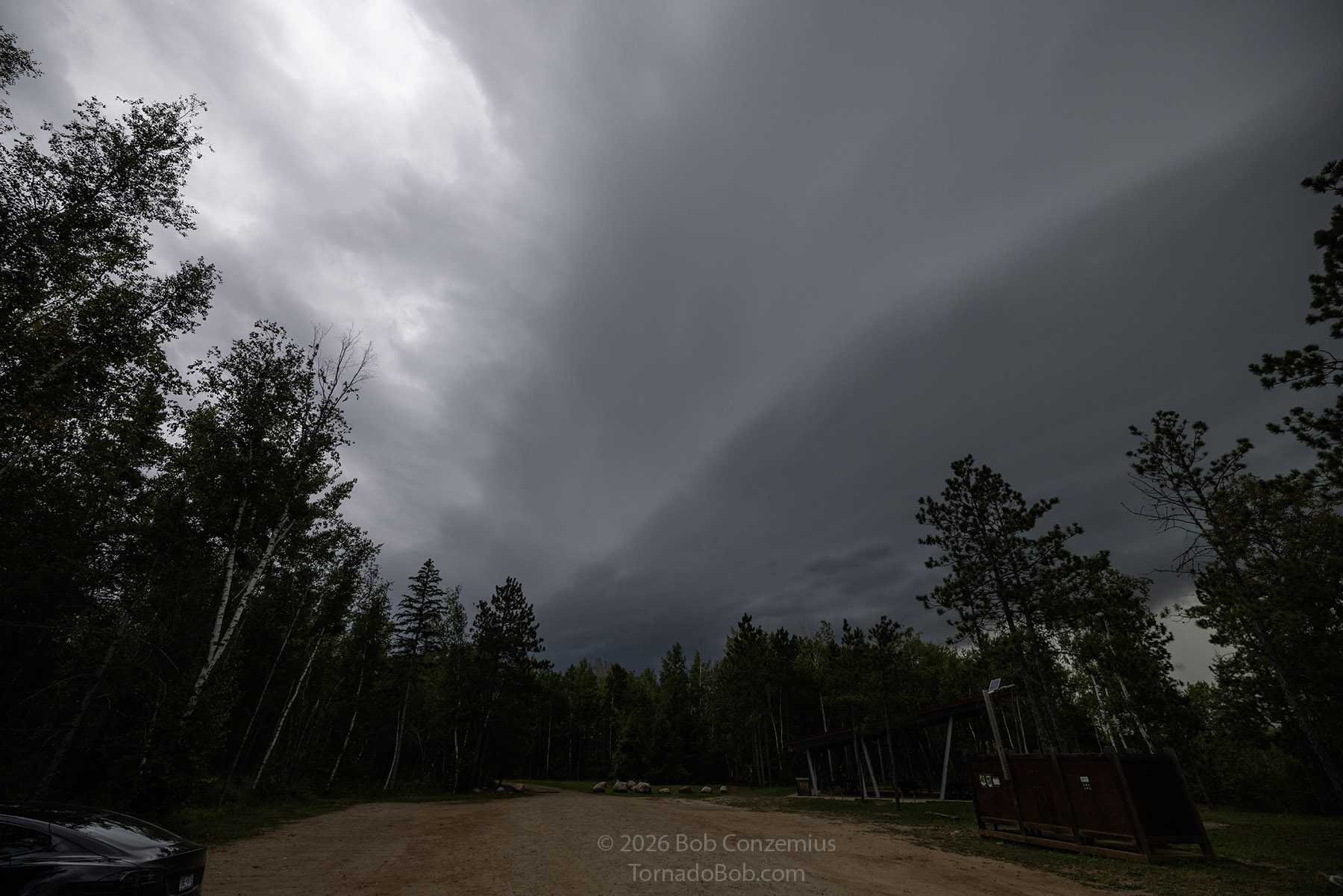
You would think, being anxious to chase, I would have been the first person to leave practice, but apparently, everyone else was really organized and wanting to get out of there before the nasty storm struck. It was scary and dark, so I think that motivated people to leave in a hurry. I stuck around to take pictures of the shelf cloud, but then, rather than core punch to get to the target, I retreated for home in order to ensure I would not encounter hail. After I knew I was safe, I got back on the road.
There were storms developing in west-central Minnesota, and my thoughts were to get to those if I could, but the HRRR predicted them to fall apart at sunset. A better prospect would be to stay a little farther north, but the southern storms were more likely to produce a tornado. There were a couple at first, but then one dominant storm emerged. It was tornado-warned.
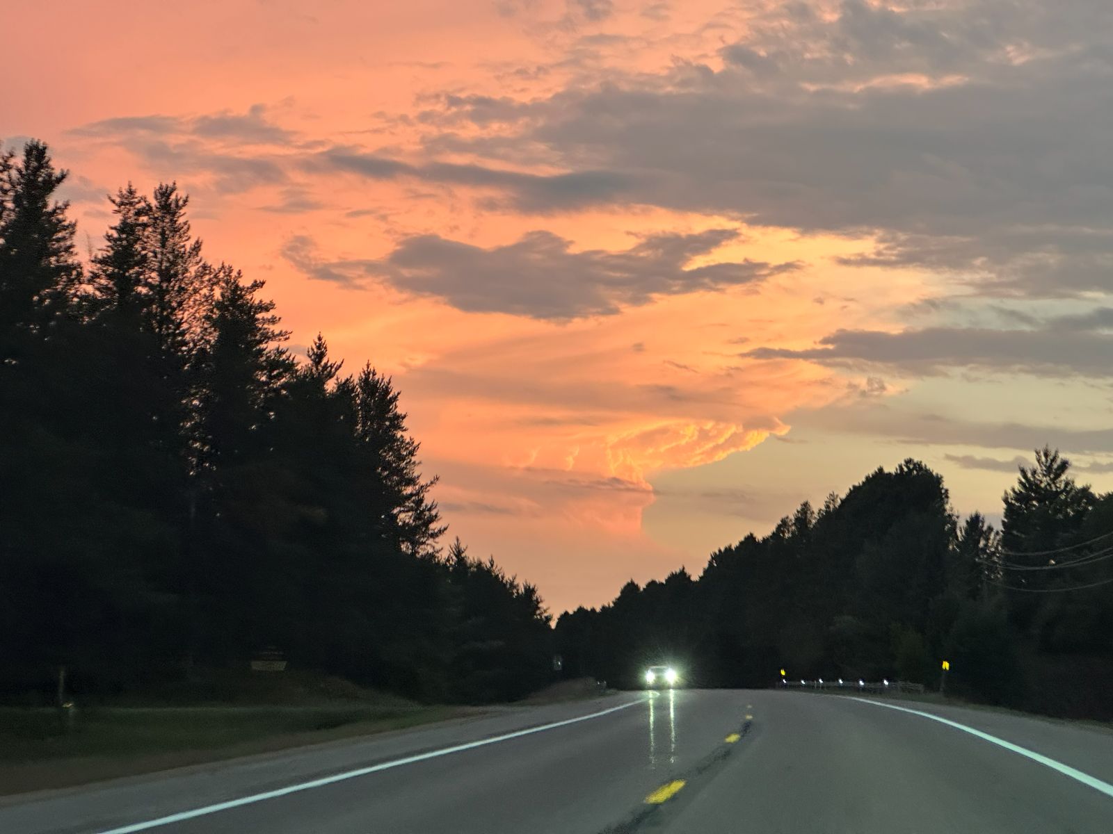
When I got through Walker, I could see the target storm far to the southwest. The sun was setting, bathing the storm in orange and yellow light. I wished I could be there. I put my car in full self driving mode and snapped a picture.
I continued southwest through Park Rapids and then turned south on U.S. 71. The twilight was fading, and the storm was flashing directly to my south. It wasn't moving very fast, so I had a chance to catch it. On my way south, my friend called me to say they were concluding their chase and going home. The storm had given them a great show, but now it was getting dark, and it was difficult to see or do photography. At this point, I reconsidered what my best options were.
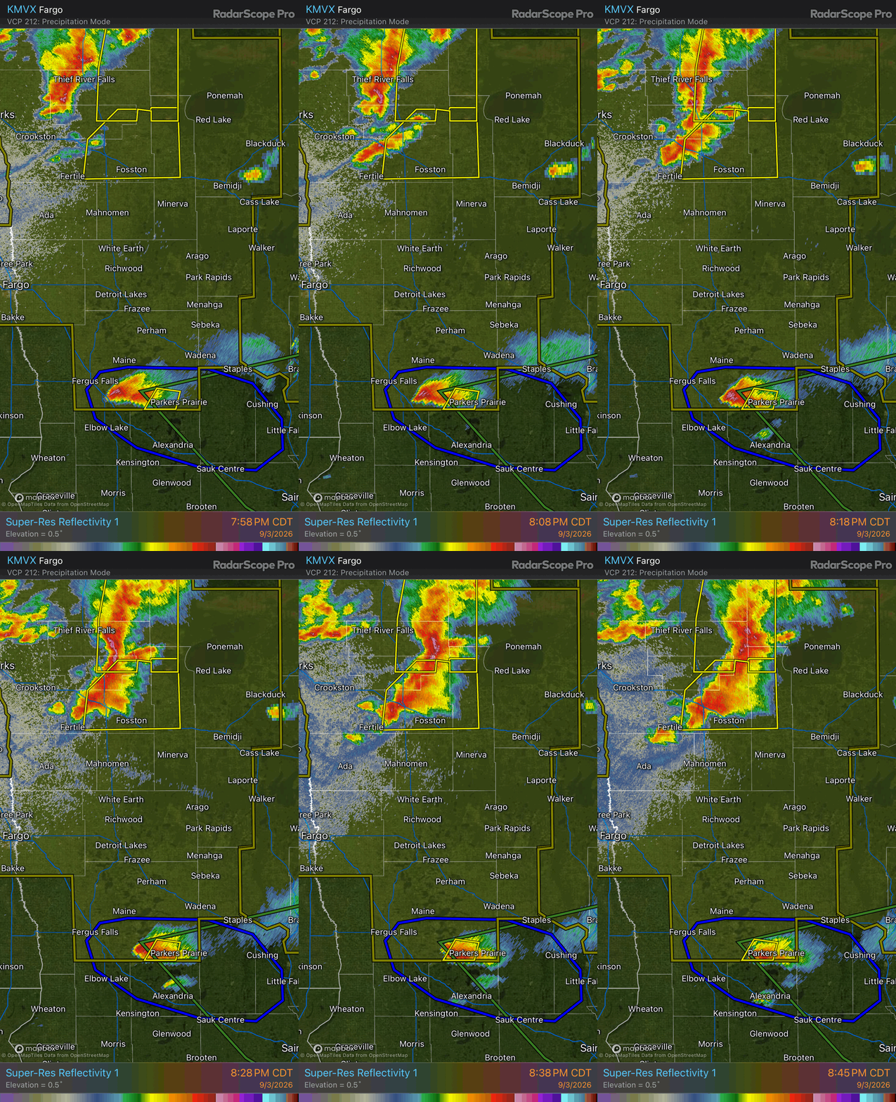
I pulled into Menahga and looked at radar. The target storm to my south was near Parkers Prairie and struggling somewhat, but for the time being, it was maintaining strength. To my north, a much stronger and larger storm had just popped up west of Fosston. I was closer to the southern storm, but it would be a longer drive to get there and back home. The Fosston storm was moving east-southeast, and even though it was farther away, coming in from the southeast is always an easier intercept, so I turned back northward.
The Storm
My navigation route took me on a brief westward jog south of Park Rapids. On that road, I was able to visually compare the two storms and reassess my decision. The lightning flashes were far more frequent in the northern storm, confirming my decision. As it turns out, the southern storm dissipated right about the time I would have arrived, so this decision saved my chase. Maybe I could have skipped the southward turn at Park Rapids. I still think it was worthwhile to make an effort.
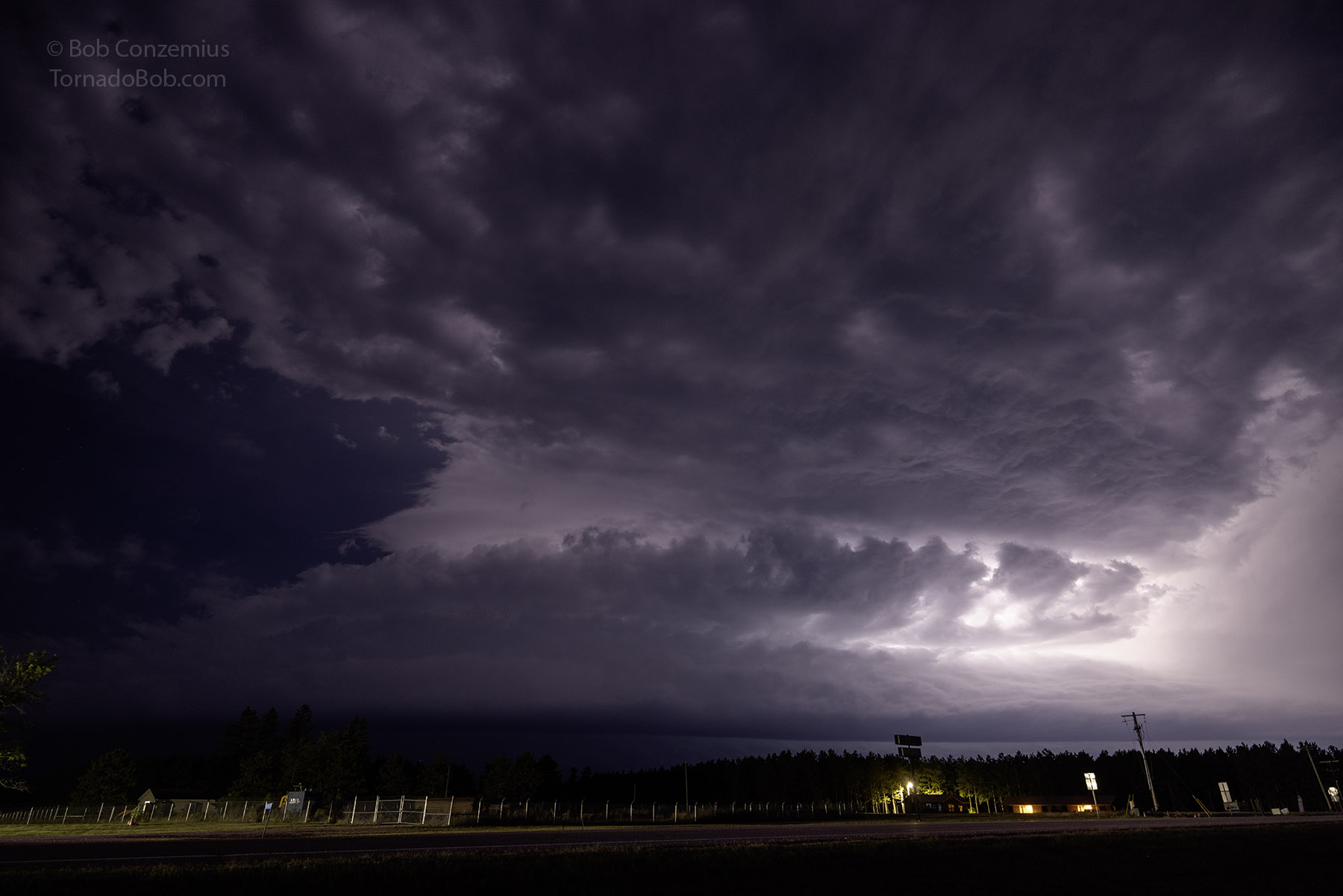
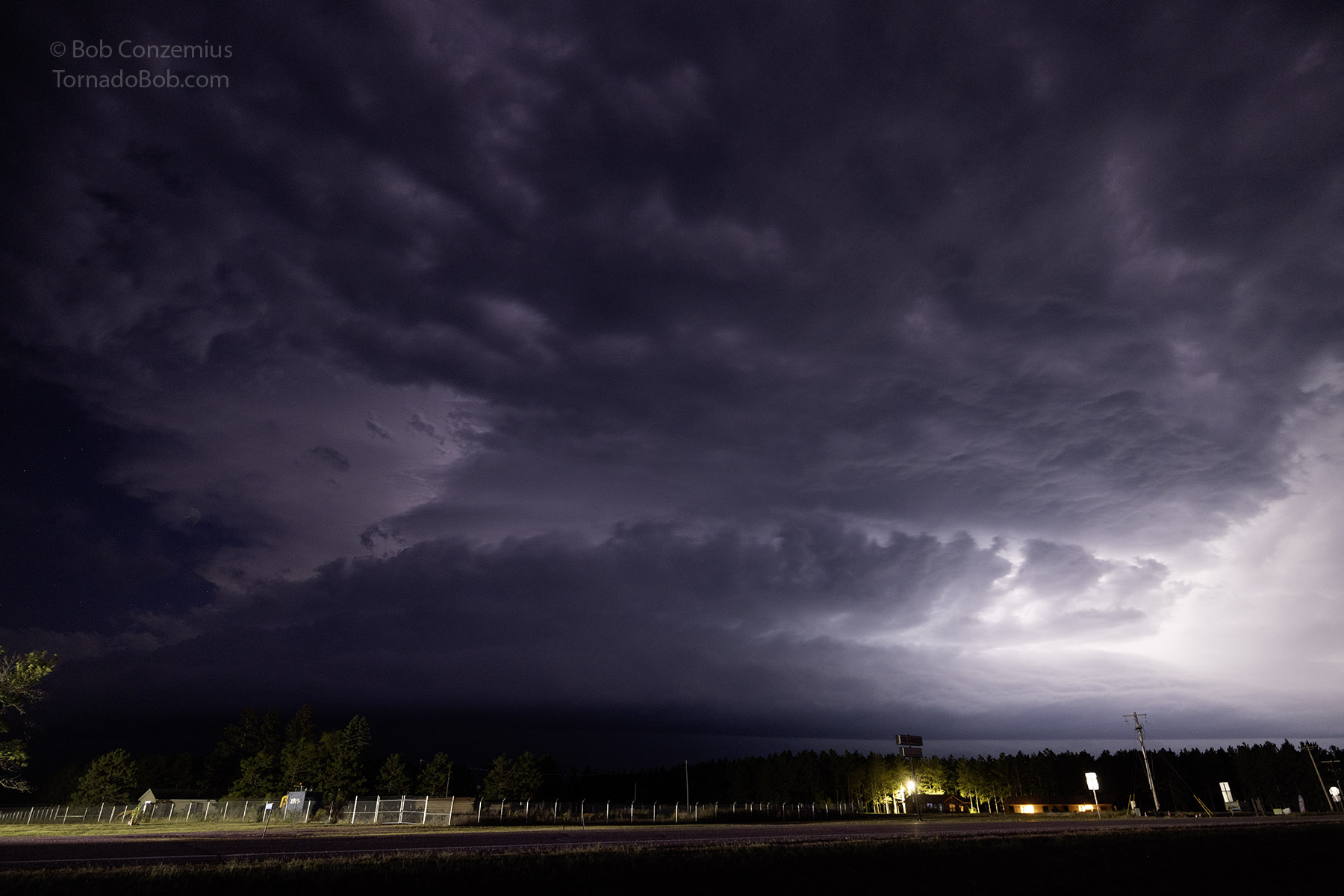
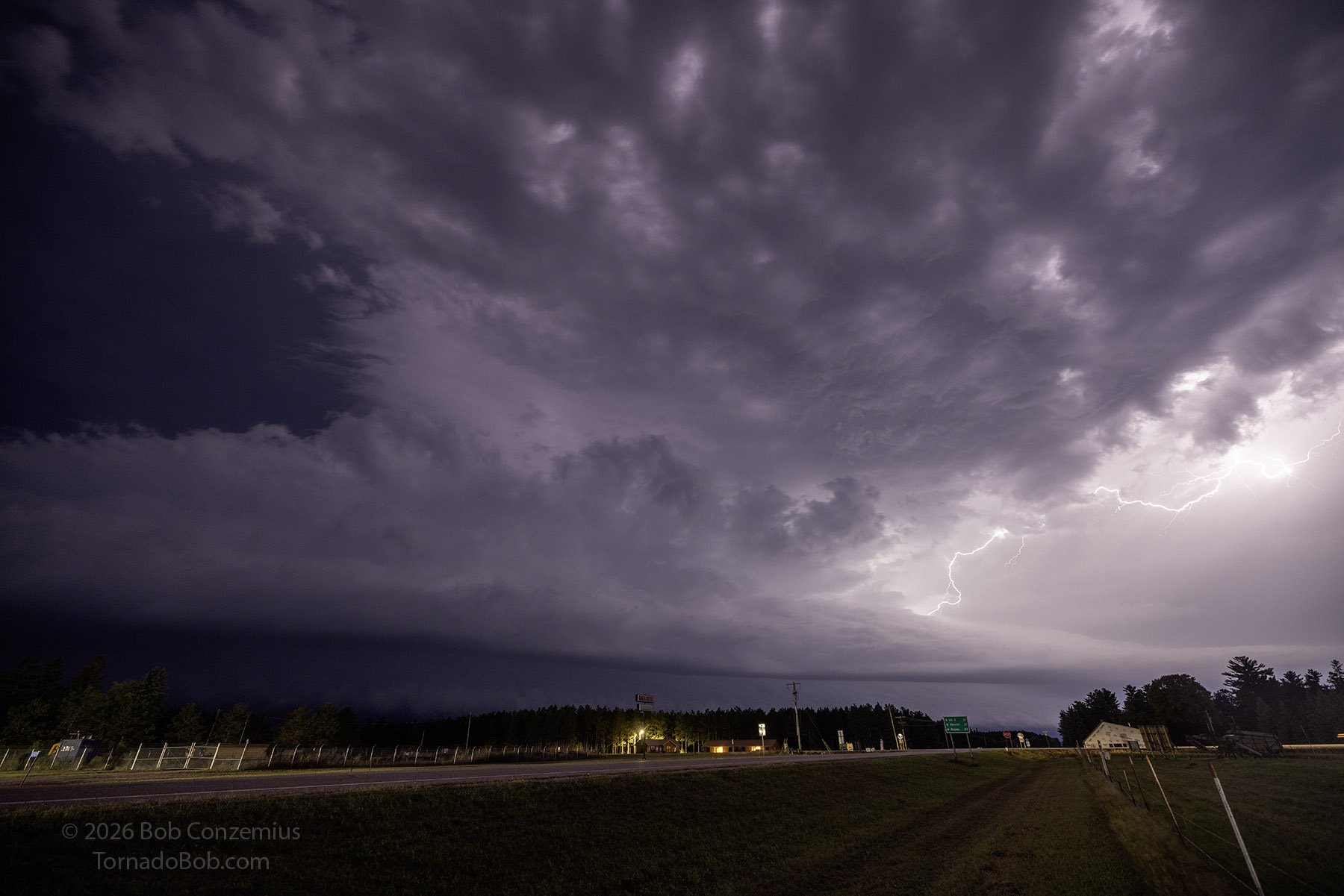
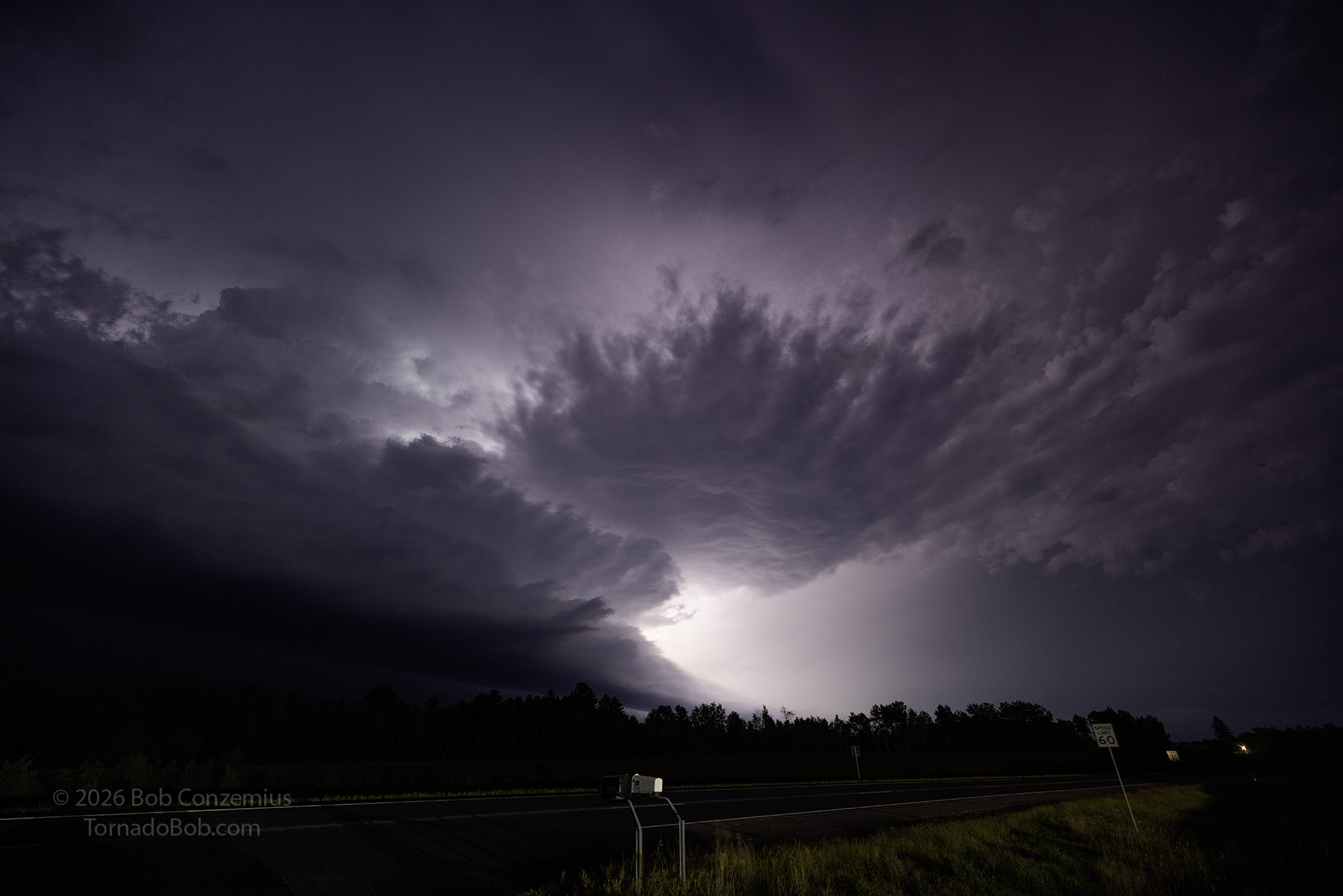
The roads took my around the eastern side of Itasca State Park and the headwaters of the Mississippi River. I stopped at the interesection of 71 and 200 to look at radar, snap a couple pictures, and look figure out where I might get the best visibility in this forested area. I decided to drive up to Lake Itasca township and photograph from an open field there.
Heading Home
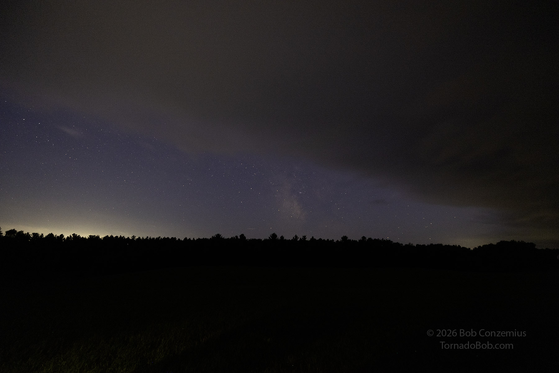
After watching the storm approach my position, I drove back southeast to the intersection of Highways 71 and 200. I let the first storm past me while a second storm, with a supercellular shape, approached me from the west. I tried some photography on this one, but the outflow from the first storm advanced south of the second, obscuring the second storm. I did take a shot of the starry skies to my south (including the bottom of the Milky Way) peering under the advancing shelf cloud before I turned back northeast.
From there, I set my destination as home and followed the route that the navigation recommended. I stern-chased an exceptionally electrically active line of storms, arriving in Grand Rapids just as the rain was ending. I had a nice light show all the way home!