The Setup
Today was the last chase day of Tour 9B. SPC issued an enhanced risk of severe storms for southeastern Nebraska and neighboring areas of Kansas, but this area was out of our range. We had to finish in western Nebraska so we could be in position to drive back to Denver in the morning. Western Nebraska also appeared to be primed for storms, and that area was in a slight risk. Dewpoints were lower here-- only in the 50s, but shear was just about right for some supercells or supercell structures. We initially hedged between a storm coming off the Black Hills or a new storm developing somewhere in Cherry County, Nebraska.
We opted for the latter as it would put us closer to Denver by the end of the day, and it's often difficult to chase storms coming off the Black Hills. One can never be sure when they'll finally move eastward off the high terrain. Today, they would end up not moving off the Black Hills. The stronger storms developed west of the hills, and we would have had a tough time changing our minds and making the long drive to the west. Thus, the decision not to chase the Black Hills was a good one.
The Chase
By early afternoon, a cell had developed just eats of Chadron. It moved very slowly eastward and southeastward. We drove southward from Kadoka, South Dakota and hoped to make it to Rushville, Nebraska in front of the storm, but the storm moved over Rushville and onto U.S. 20 before we could get there, so we dropped south on Nebraska 27 at Gordon. Because of the slow movement of the storm, we would have at least an hour to set up and do a timelapse. I figured we could get some good shots from where 27 crossed the Niobrara River south of Gordon. We initially set up near the river, but the storm base got behind the hills to our south, so we moved a little farther south onto open land where we timelapsed for more than an hour. The storms were somewhat linear but with embedded supercellular elements. One of these was just to our west and was moving directly towards our location.
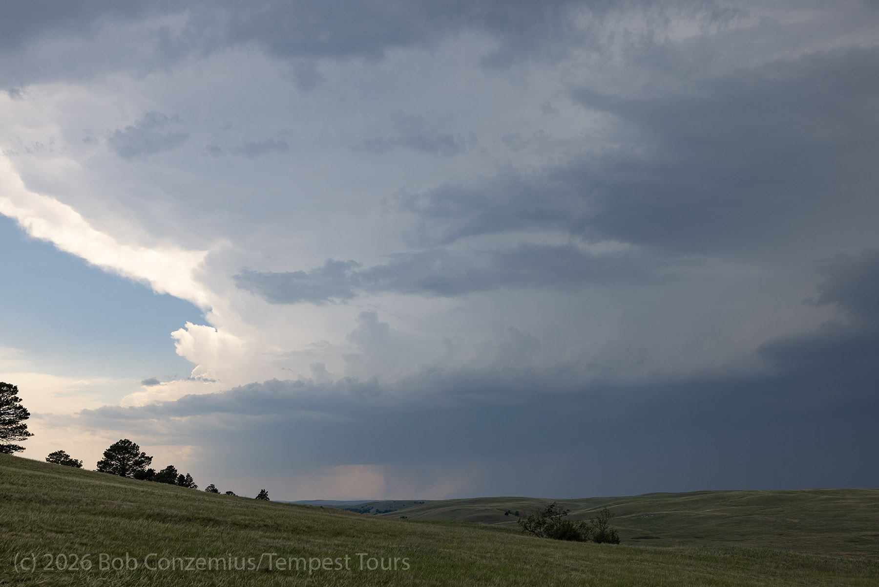
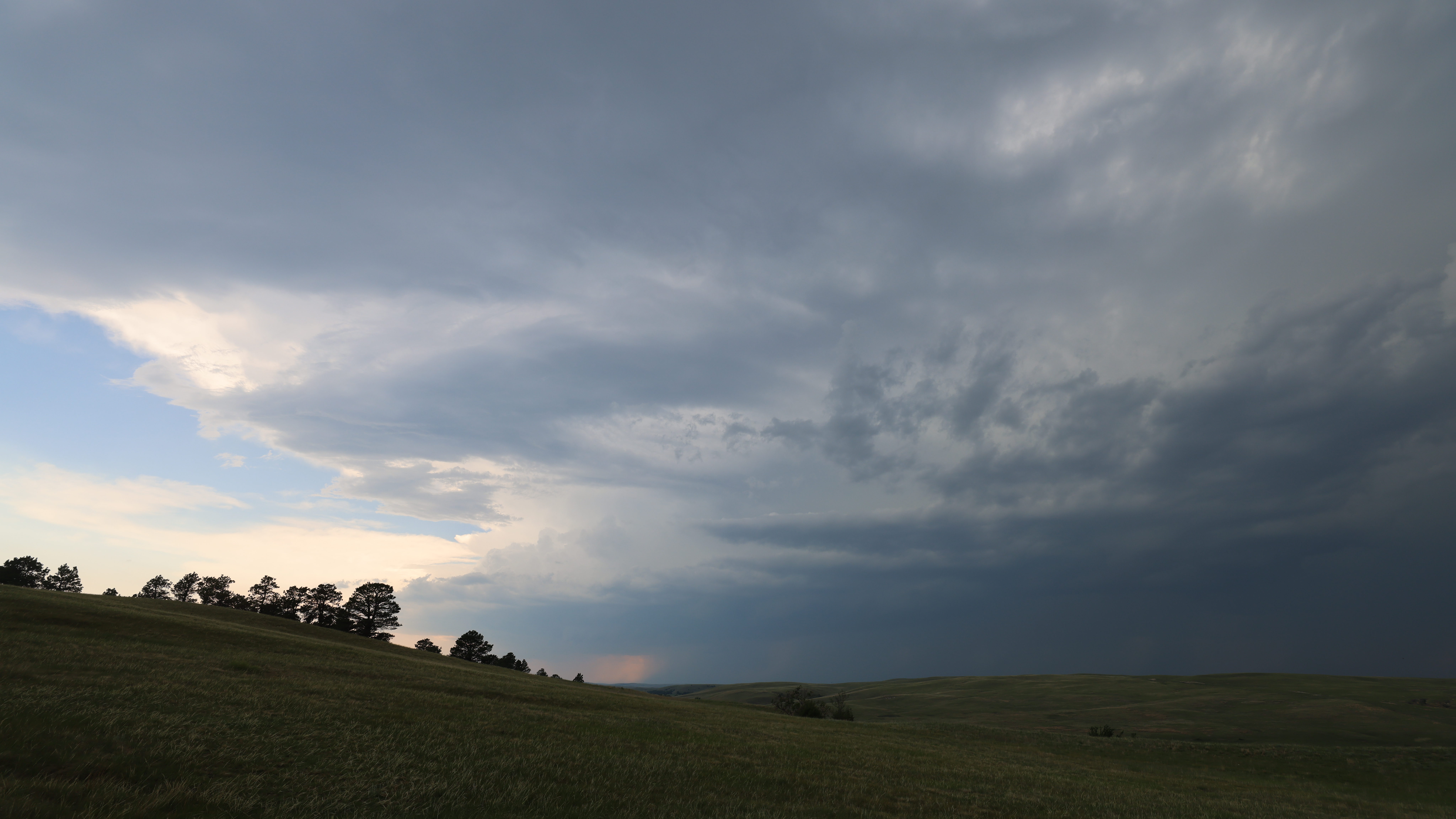
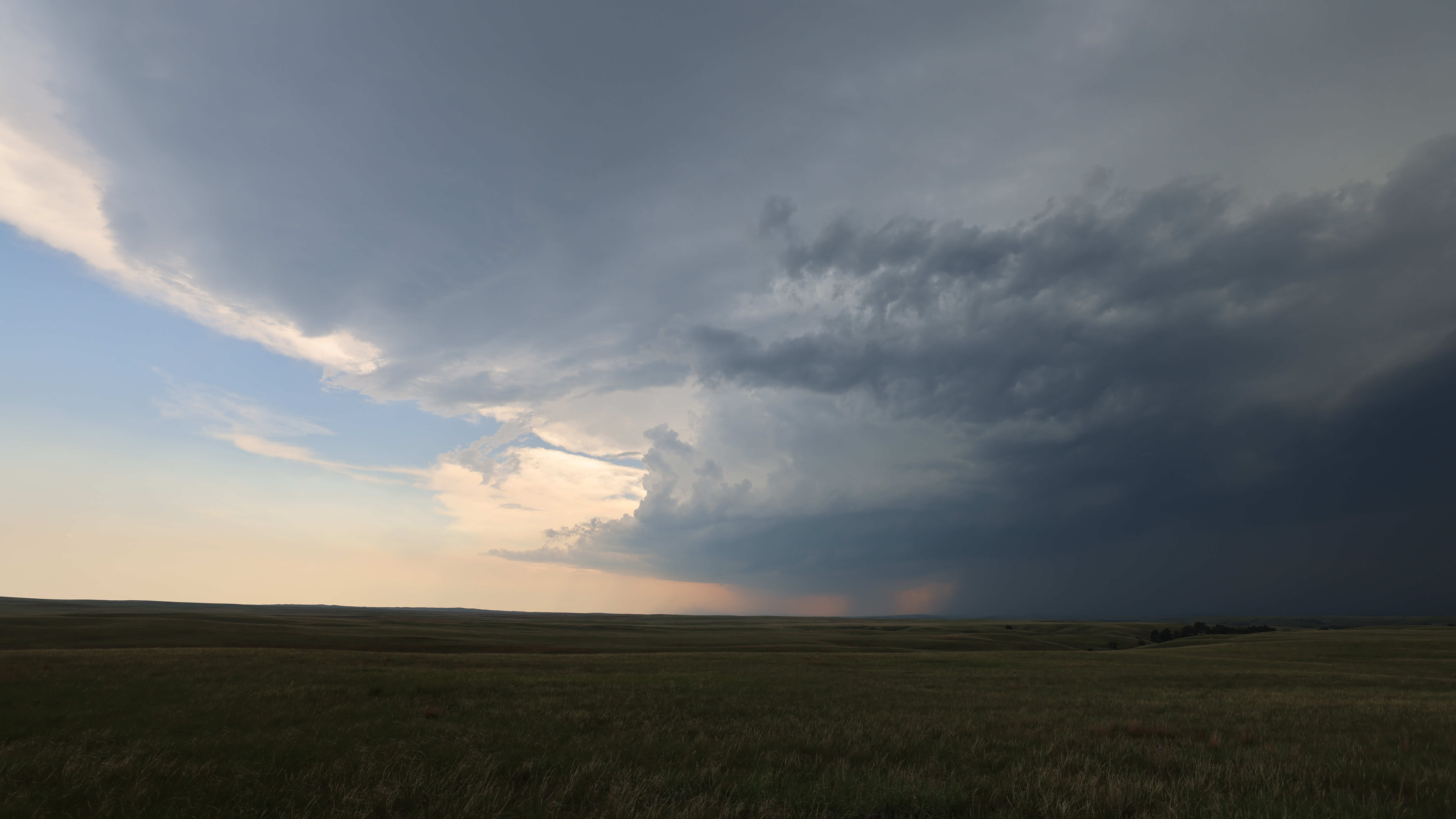
The mesocyclone that we were watching fell apart as it approached Highway 27, and other stronger cells were developing on the southwestern flank of the line. The Sand Hills road network required that we drive south to Highway 2 at Ellsworth, then a few miles west to Lakeside, then back north on Highway 250. This took about an hour.
We arrived at a nice updraft base near Joy Ranch. We took a few pictures here, and then the outflow blasted us. I didn't realize the sand in the Sand Hills drifted as actively as it does nowadays. I hadn't been in strong outflow in the Sand Hills until now. The outflow actively moved sand around, and we could see a lot of it drifting across the highway. If we opened the door, it blew into our van and covered everything in a fine layer of fine sand. Once we had had our fill here, we dropped back to Lakeside and planned to drive eastward to Hyannis and then south to our hotel in Ogallala.
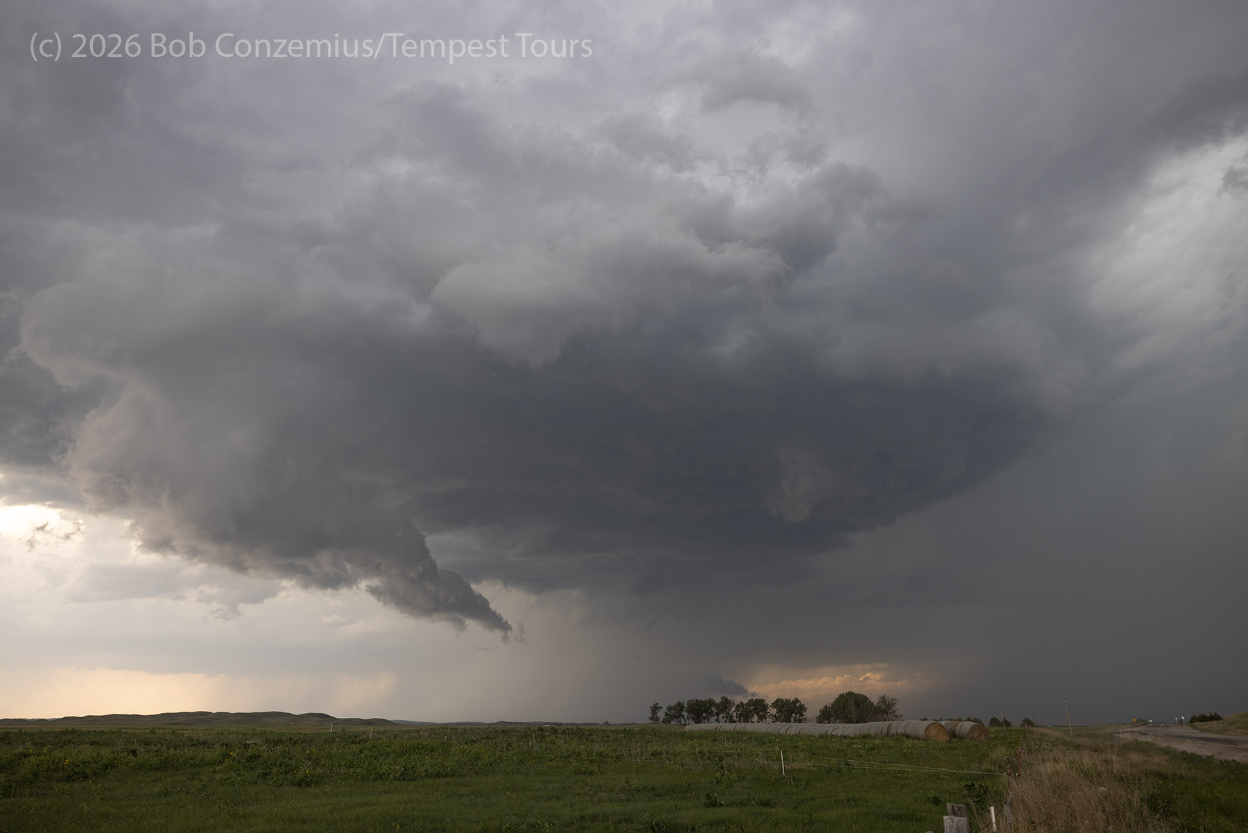
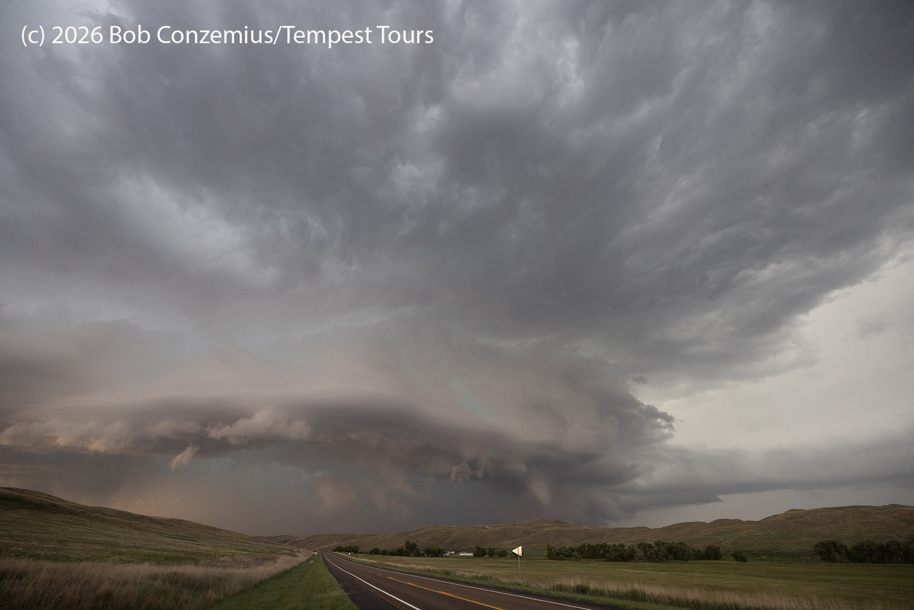
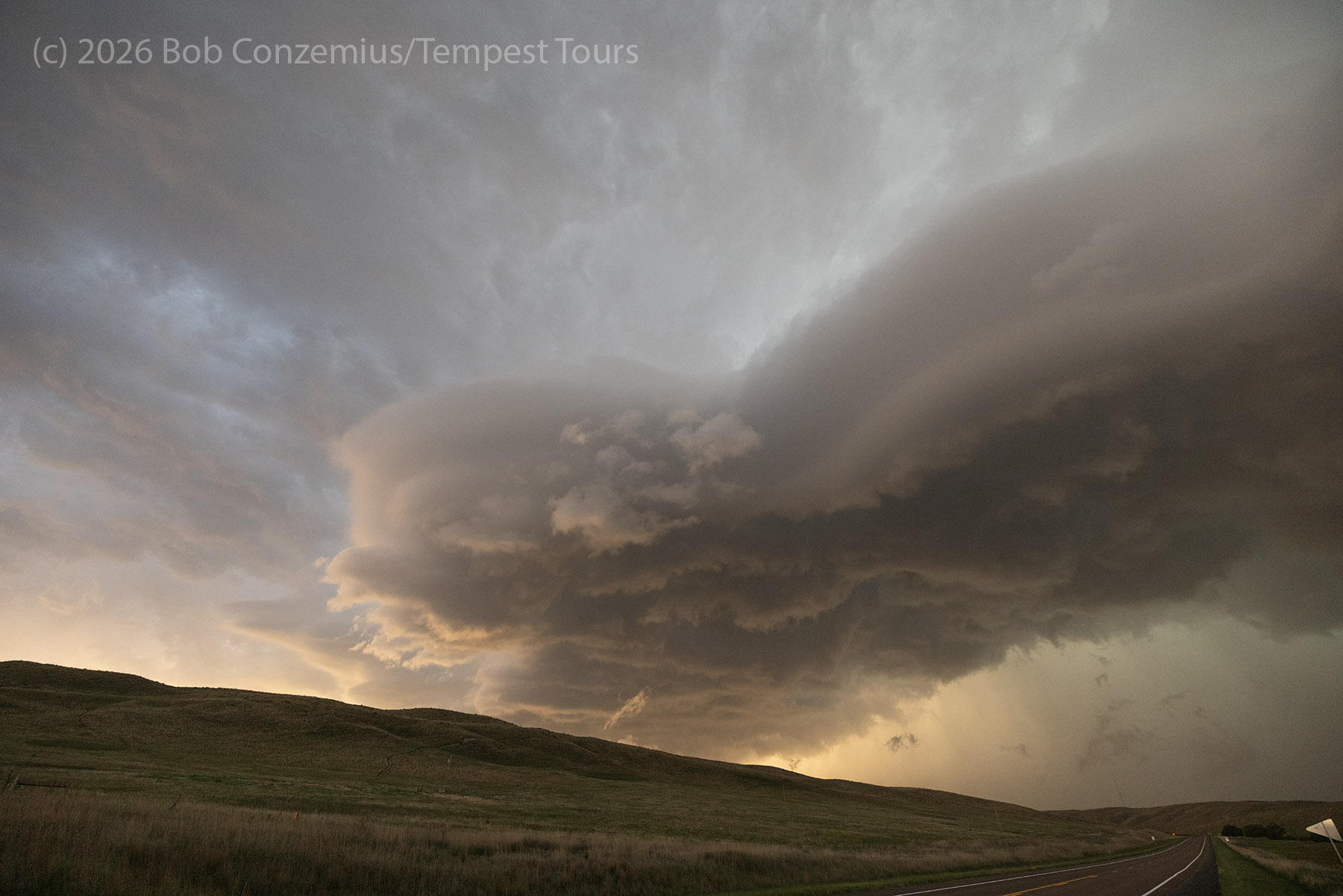
However, the weather had other plans. Our storm had gotten a bit east of us as we made the drive south through Lakeside before going east on Highway 2. Thus, we had lost sight of it. However, when we moved east a few miles, the northern sky became dark again, and a nice round, tiered supercell updraft base appeared out of the haze. I picked a spot to pull over and take pictures of this wonderful structure. When we got out of the van, we were greeted by much higher dewpoints and lowering cloud bases. The structure of the storm improved as we watched.
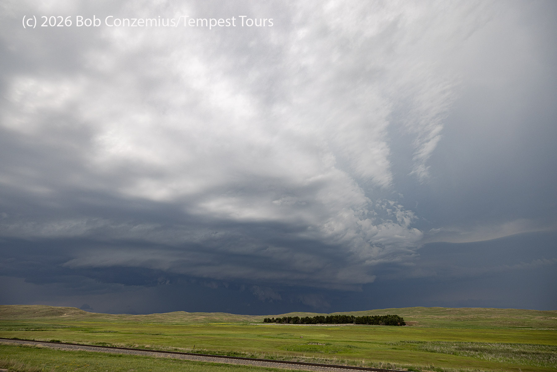
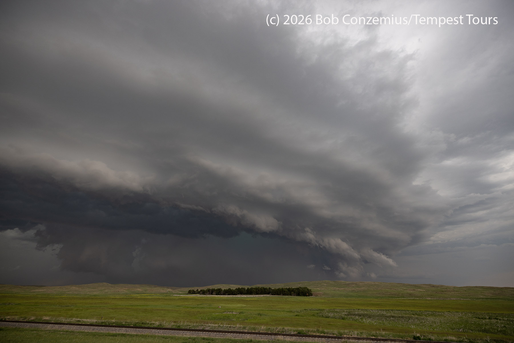
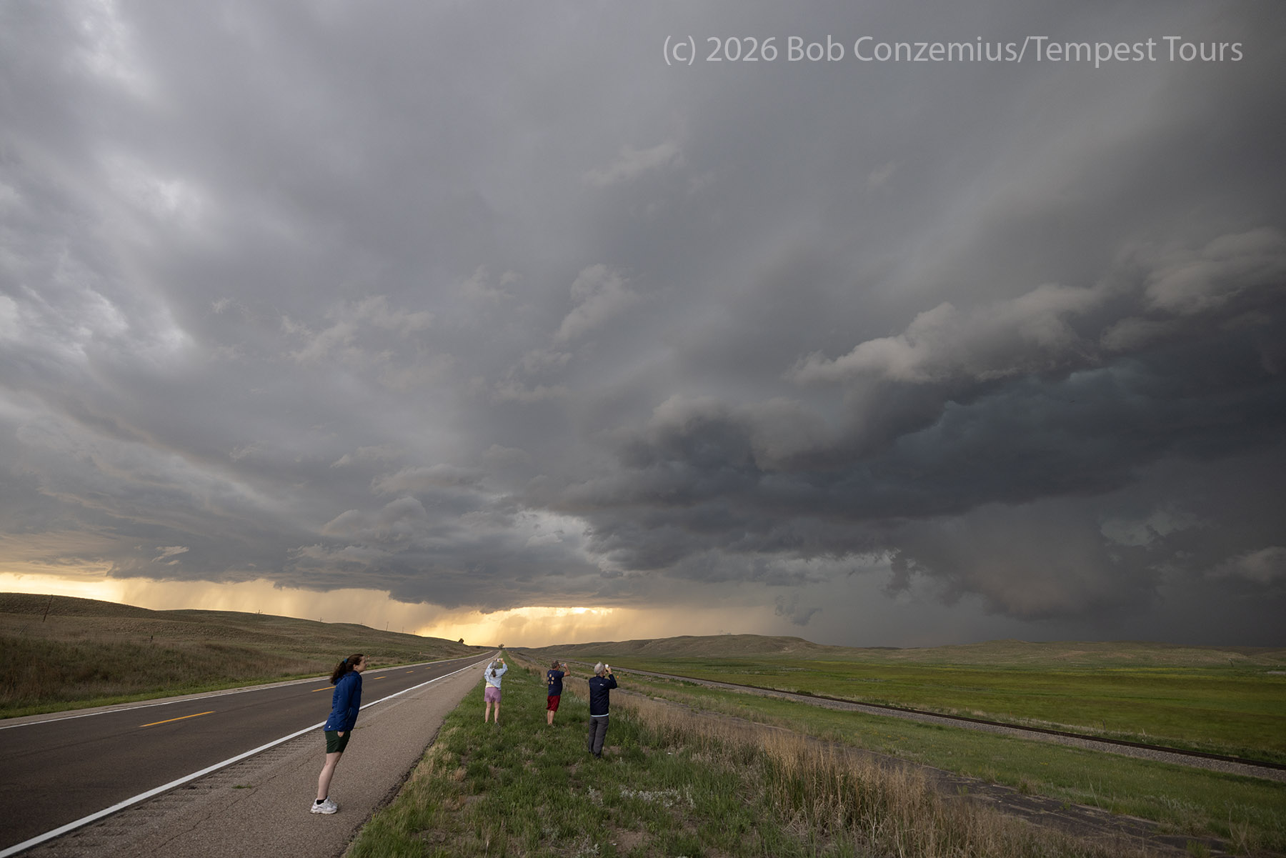
After getting our fill of photographs, we packed up and headed into Hyannis for a pit stop and to grab some snacks for the drive to Ogallala. While we were in the store, the National Weather Service issued a tornado warning for the storm. I had noticed that the velocity signature on radar was looking a bit more interesting but didn't think that much of it. The storm did not look like it would put down a tornado. However, the couplet, along with the higher dewpoints, warranted a further look at the storm. This additional stop would be east of Hyannis, and the storm would move southeastward over our road back to Hyannis, meaning we would have to either drive back through the core or take a long detour to get to Ogallala.
The Sunset
We viewed the storm from east of Hyannis and allowed it to cross our road back to Hyannis. I hoped it would do this quickly, but the storm slowed down and redeveloped over the road. A core puch was necessary. I told the guests we would finally be experiencing some hail, but I waited until the 3" hail markers had gone away (they had been just north of the road-- too close for comfort). We drove through and found hail, but I'm guessing there was nothing larger than 1". It was also raining really hard, so we couldn't see the hailstones very well. We generally could only hear them.
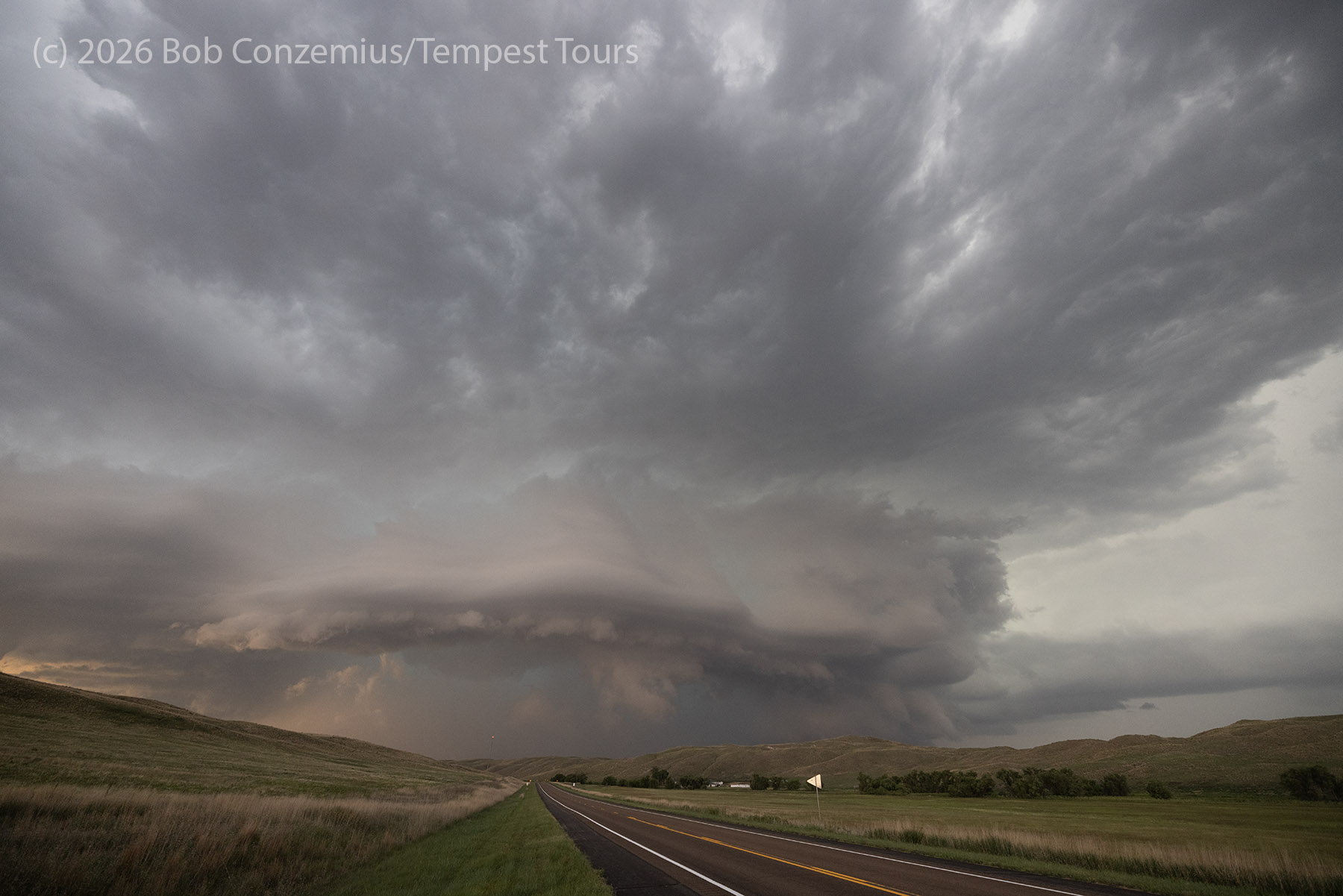
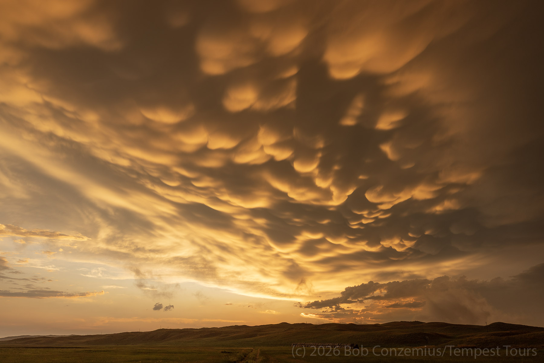
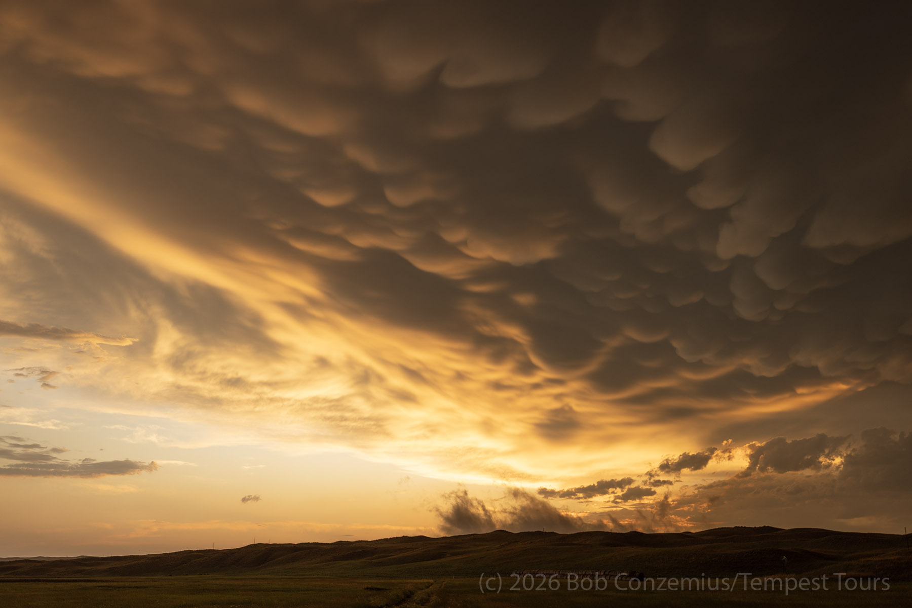
When we cleared the core on its west side, a bit of rain was still hanging back over Highway 61 south of Hyannis. We drove south until the rain got light enough that we could get out of the van without getting drenched. This would likely allow us to see a great rainbow since sunset was only a few minutes off. I'm not sure exactly why, but we did not see much of a rainbow. The illumination of the rain was just not what it needed to be. We were treated to something much more dramatic: a wonderful mammatus sunset! This was the best I had seen in years.
Wrap-up
It was a great way to wrap up our tour. Initially, the high-based storms weren't much to behold, but the day ended up with some wonderful structure that we had not seen earlier in the trip. I think this was the final storm experience to make the tour complete: tornadoes AND a beastly supercell. It was a nice way to end my tour season.