The Setup
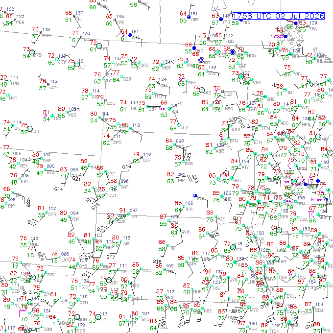
The SPC issued an enhanced risk for severe storms across portions of South Dakota and Iowa. Dewpoints were into the mid- to upper-70s across Iowa, and a narrow ribbon of high dewpoints was also located over southeastern into central South Dakota. Previous storms had lain down an outflow boundary across South Dakota in the vicinity of I-90, and a weak 500mb shortwave trough was coming out of the western U.S. longwave trough.
There were a couple areas of storms in the forecast. One was over northeastern Iowa. We had gotten west of that area by chasing northwestern Iowa the day before and did not feel like driving back that way. Additionally, our itinerary took us farther west toward Denver by the end of the week. It was much easier to continue westward throughout the remainder of the week.
A second area of expected convective development was over central South Dakota from Pierre to Chamberlain. Dewpoints in this area were in the 70s, and HRRR had been showing a strong supercell developing between Pierre and Chamberlain and tracking southeast, but this morning, it had backed off from that forecast. HRRR also showed some late day storms in the Valentine, Nebraska area. Although these did not look as strong, the area around Valentine, southwestward into Cherry County, often produces more strongly than what the models show.
The Chase
I started the day by hedging between the Valentine target and the central South Dakota target. I considered driving I-29 up to I-90 and then getting west to target the South Dakota activity, but the HRRR had backed off on this activity, so I directed our driver to go west on U.S. 20 from Sioux City. I was initially thinking of driving to O'Neill, and there we could go north into South Dakota or keep going west toward Valentine.
Google had taken us on an apparently more direct route to O'Neill, not on U.S. 20 that was the most straightforward route. Partway along this route, the road turned briefly to gravel. This minor convenience, along with lower dewpoints in Nebraska, compared to South Dakota, had me turning north. We drove northward through Coleridge (location of the June 17, 2014 tornadoes) toward Yankton. Once in Yankton, we could kill time by visiting the dam and eating a sit down lunch.
We needed a pit stop, so we drove past the road to the dam (we could visit that later). There was an ongoing storm just east of the Missouri River south of Pierre. I thought we should go after this storm, so I decided to skip the dam tour. However, when we got out of our pit stop, the storm had dissipated, so I looked for a sit-down lunch.
The restaurant I chose appeared to be a popular one. It could be pretty full, and we only had enough time to order and eat. We needed to spend less than an hour. However, when I checked inside to see if they could fit our group, they told me I would need to wait up to 20 minutes. I decided we would continue northward and eat lunch a bit later. Nobody was really hungry yet.
Before we reached I-90, I looked at radar again. To my surprise, storms were exploding around the Chamberlain area. There were at least three of them in a roughly west-east configuration. The easternmost storm was smaller than the others, but it was growing fast, and it had access to the best dewpoints. We needed to be on this storm as quickly as we could. Lunch was now a grab-and-go dining experience. We had no time even for fast food places.
The Approach
We turned west on I-90, drove two exits to Exit 353 (Spencer), and did a fuel and food stop there, grabbing what we could. This was a fast and efficient stop, and everyone was back in the van within about ten minutes. Back on I-90, our youngest guests asked me, "What do you think the chances are that we'll see a tornado?" I gave kind of a knee-jerk response (due to how optimistic I felt about the rapid and intense storm development) of "50/50". I wondered if I was overreacting a little bit. The shear wasn't really strong, although there was an area of 35 to 45 knots because of the easterly winds, and the CAPE was really large (nearing 5000 J/kg). I guess optimism was warranted.
I-90 helped us close the distance on the storm really fast. As we got closer, it had all the good looks that a supercell should have. Bill Reid even sent a photo of his view from the south. It featured a nice overshooting top, which we could not see due to our proximity to the anvil. We turned north on South Dakota Highway 45 at Kimball, and after a few miles, the low-level features of the storm came into view. There was a nice, blocky wall cloud, and it appeared about the same time that the storm was developing an appendage on its southwestern flank. It turned out this wall cloud wasn't anything special. As we got closer, it appeared to be south of the real action area.
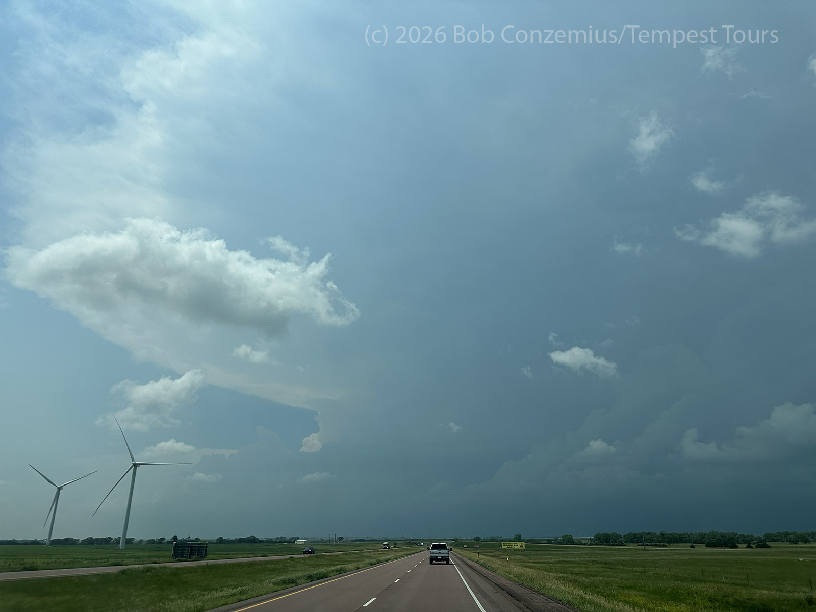
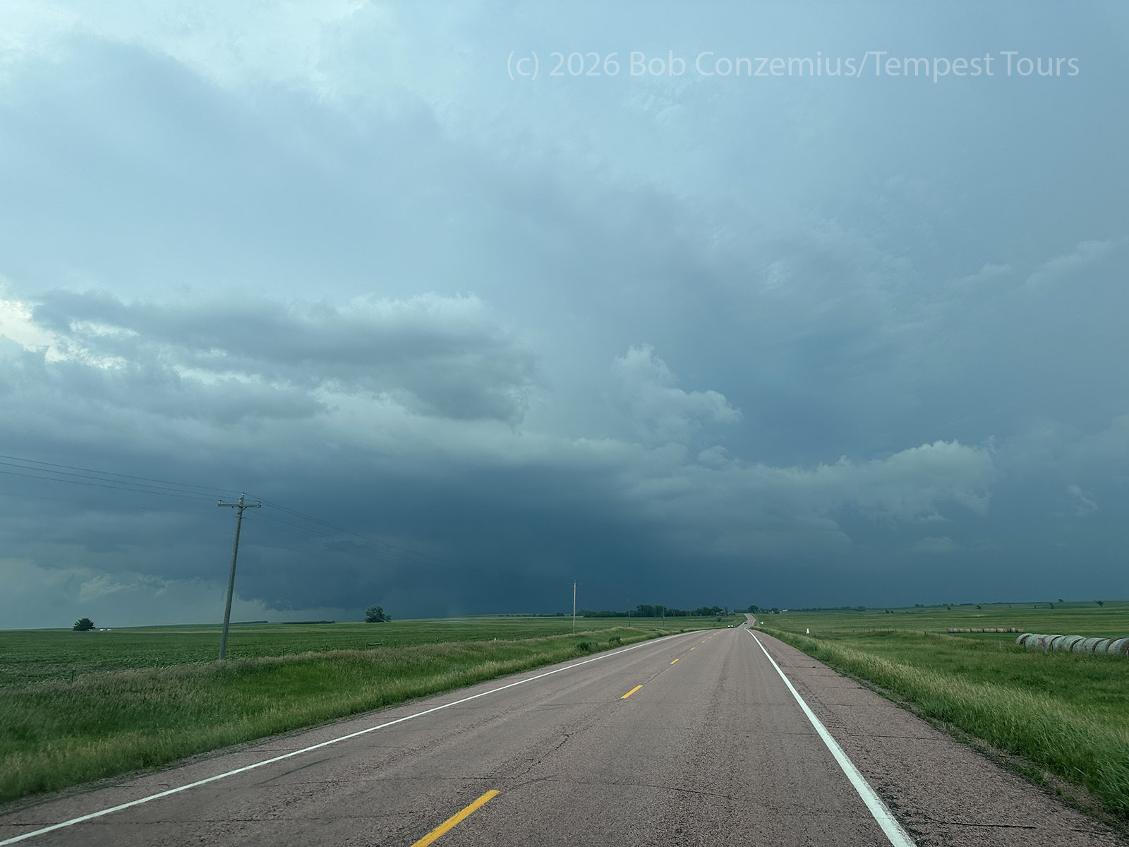
We drove a few miles farther, and the sky to the north got darker, and we were struck with RFD winds. To our north, a rotating wall cloud came into view. We stopped at 239th street for a couple minutes and took pictures.
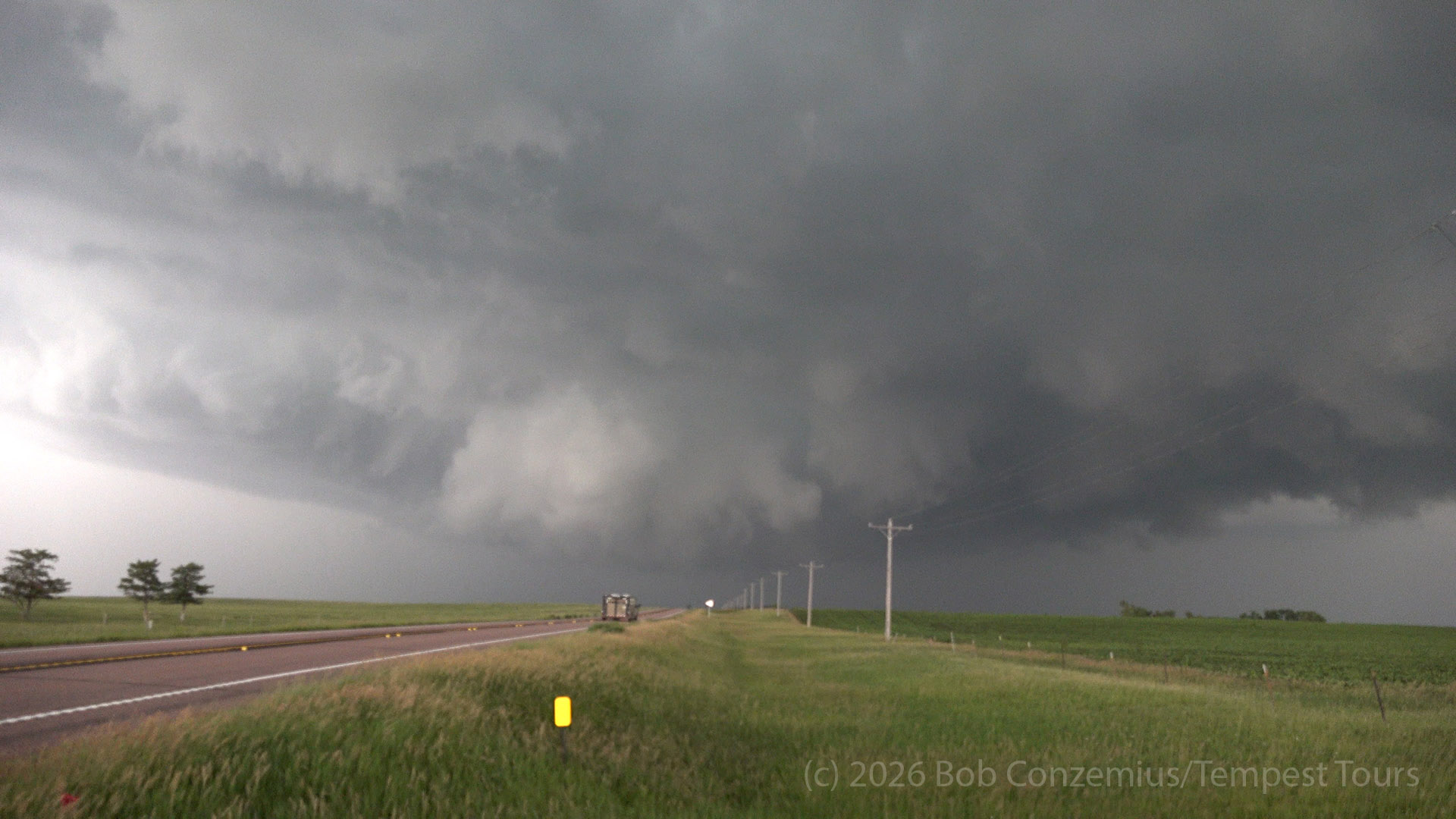
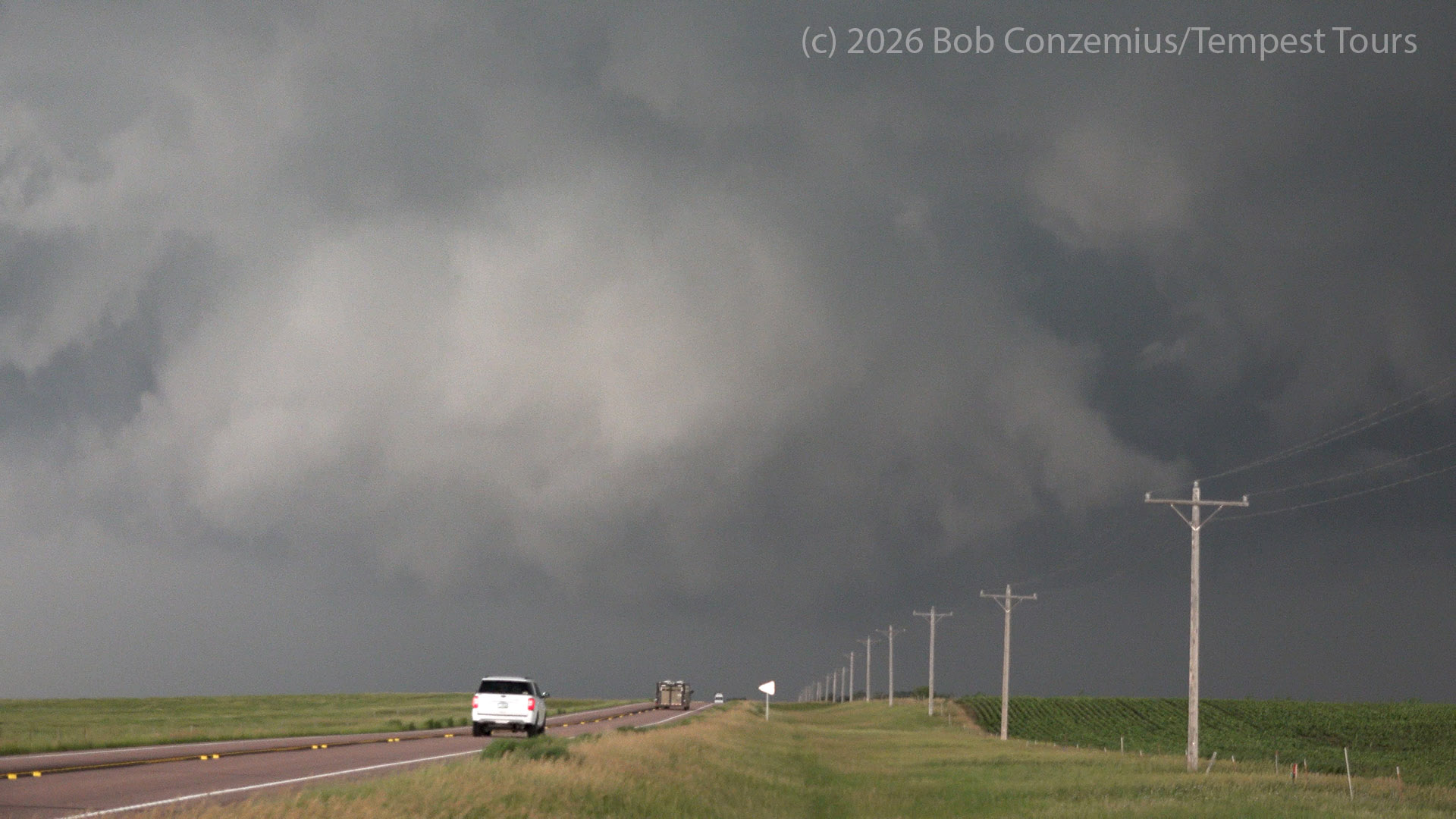
We started to lose contrast, so we continued northward to 237th street and turned east. This road was not paved, but the unpaved roads east of the Missouri River in South Dakota tend to be made of Class 5 gravel. We had no problems with traction on this road. We stopped a couple miles east and looked northwest. The rotation in the wall cloud was still pretty strong, and a rear flank downdraft was clearing out an area around it.
The First Tornado
The wall cloud taunted and teased us for several minutes, and I was beginning to wonder if this would go on indefinitely without producing a tornado, but then a fat funnel formed. Still, it took another minute or so before I noted dirt being lofted beneath the funnel. We had a tornado! The condensation did not reach ground level, and this initial phase did not last that long.
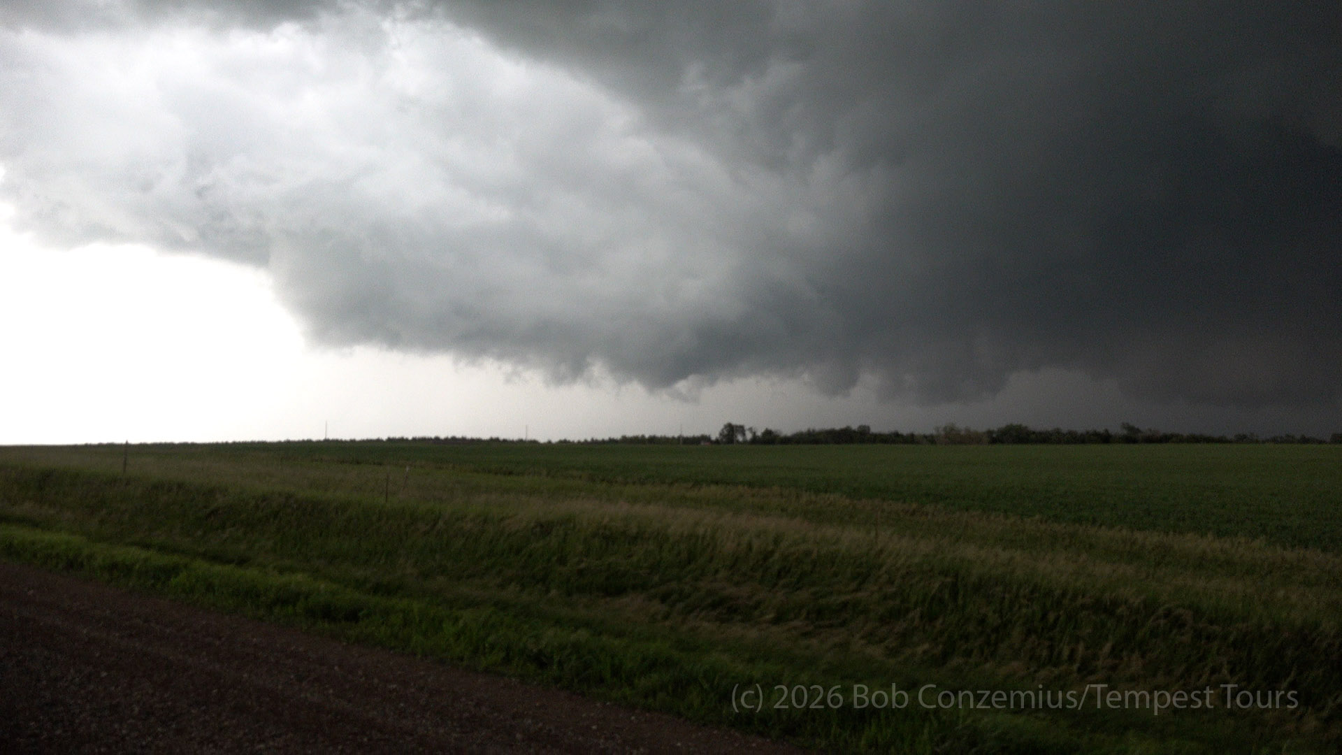
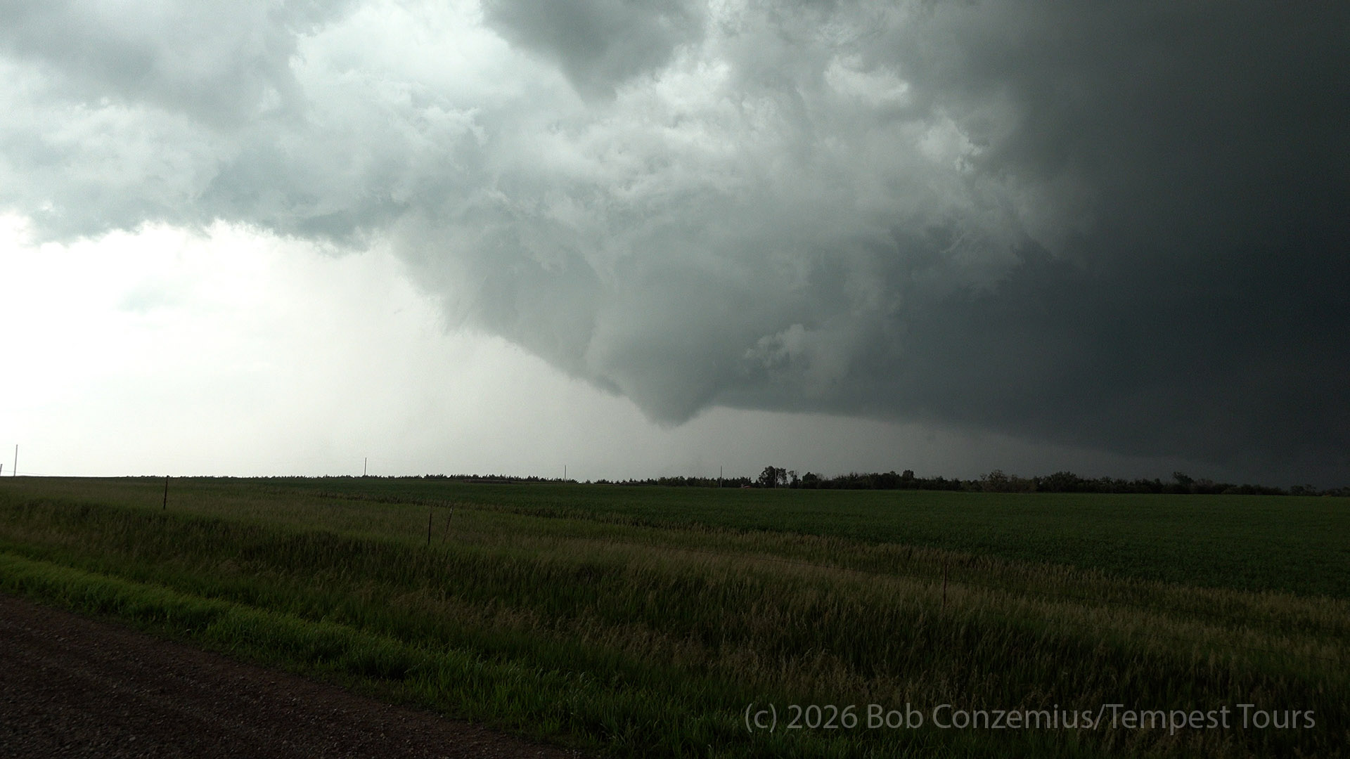
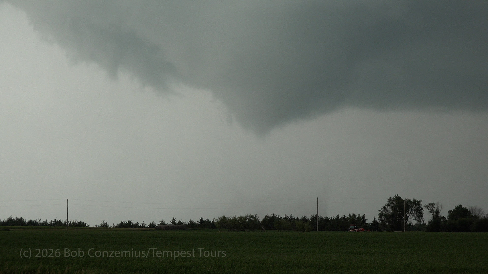
The circulation seemed to broaden again, but eventually, it occluded, and a narrower funnel appeared. This funnel gradually roped out.
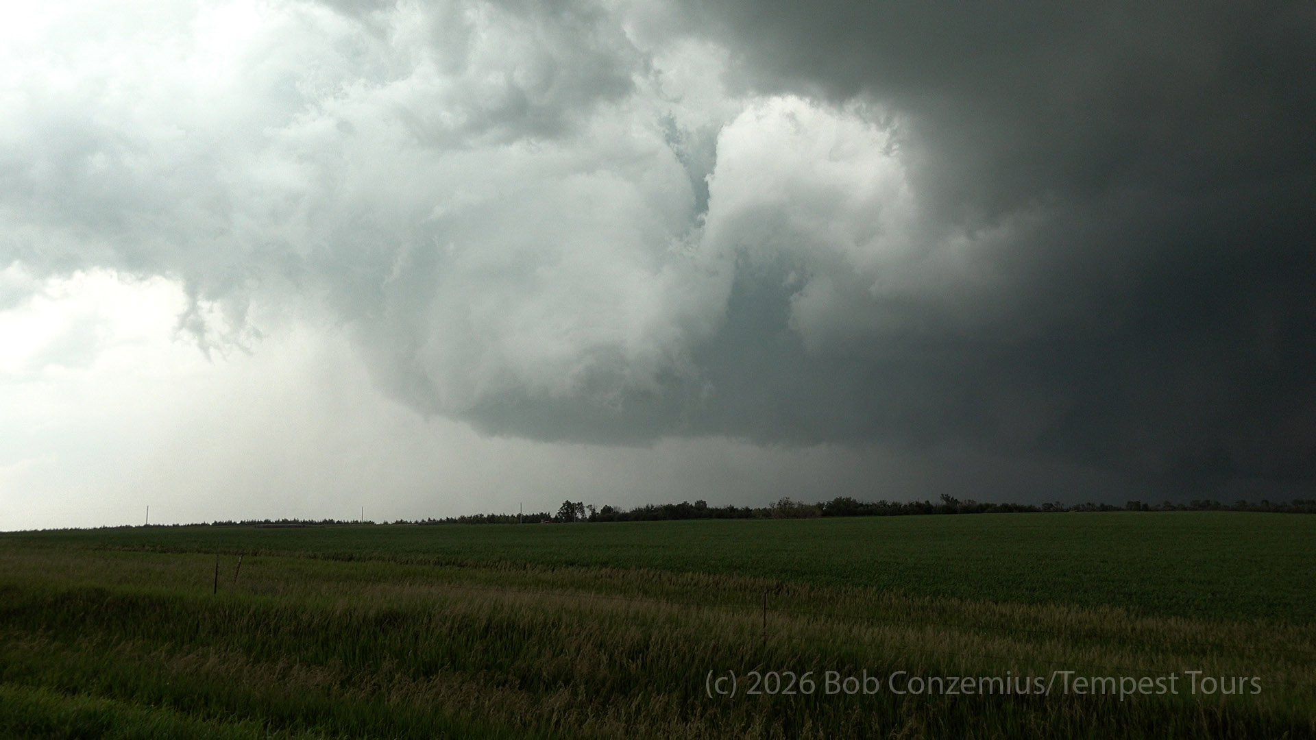
To our north, a new action area was developing. A rotating wall cloud had a new RFD pointing into it, and a second funnel developed in this new area while the first one was roping out. Contrast was poor, and we were too far away to see whether there was a strong circulation at ground level. This could have been a second tornado. Whatever the case, the first tornado dissipated, and it was time to drive north to the newer action area.
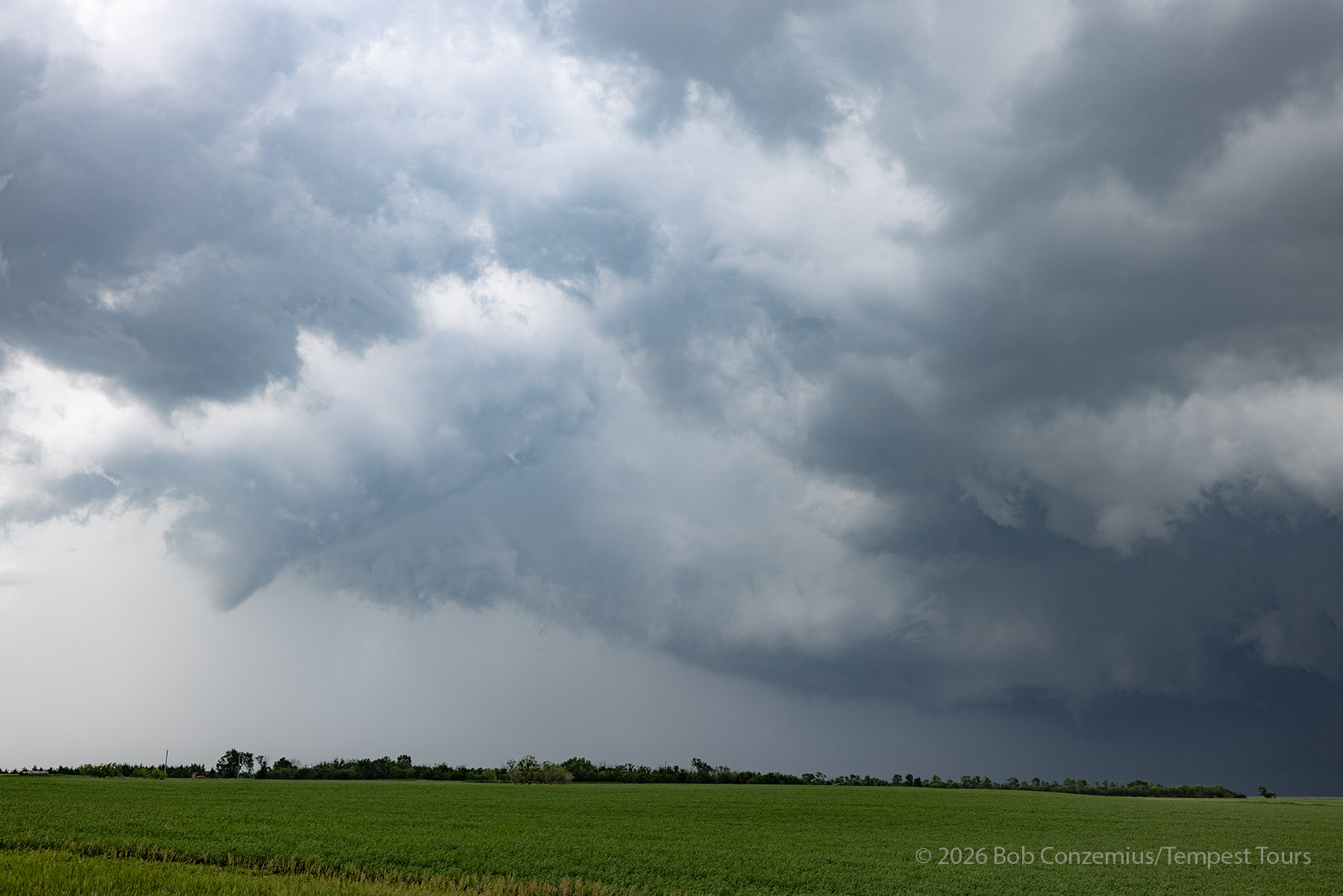
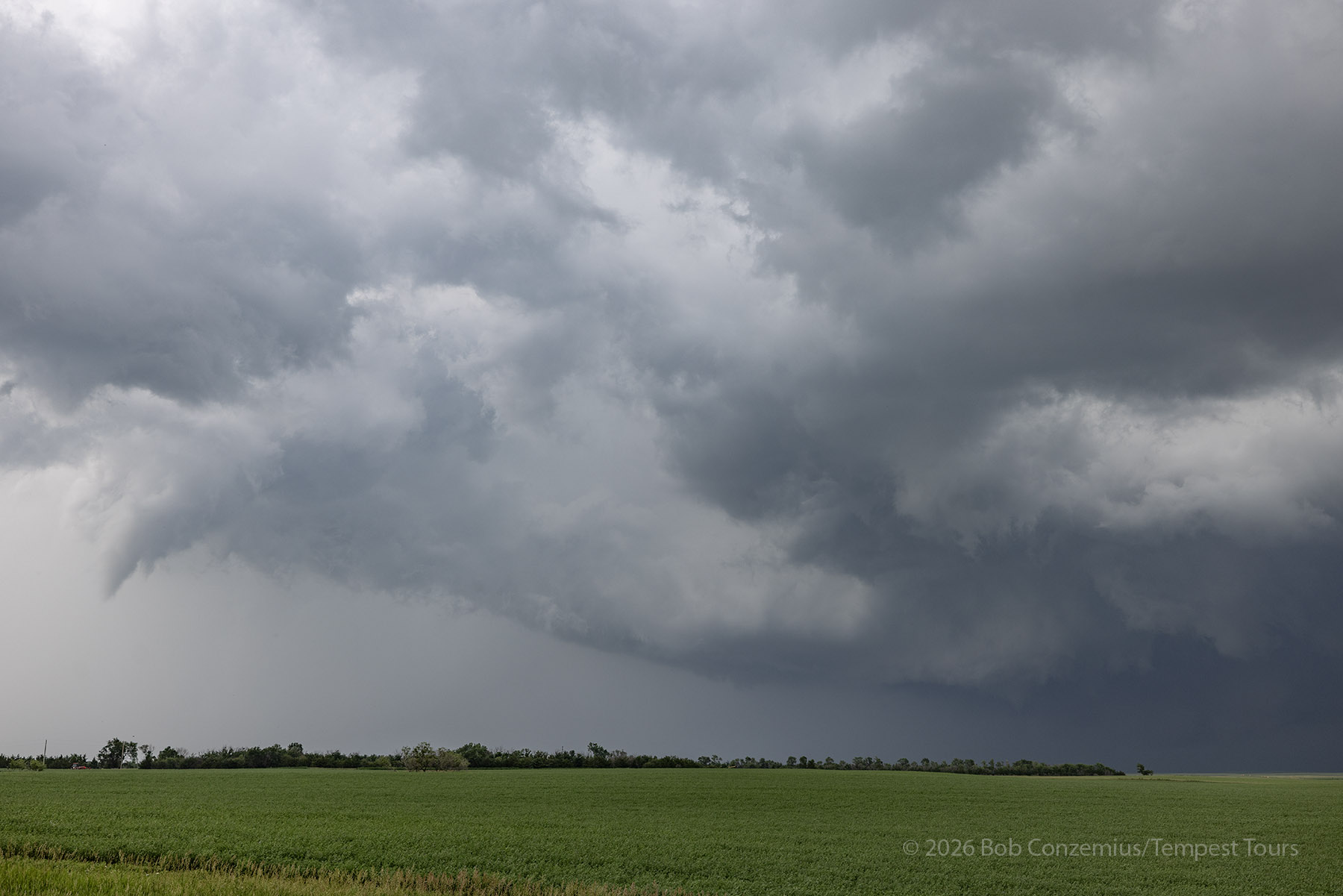
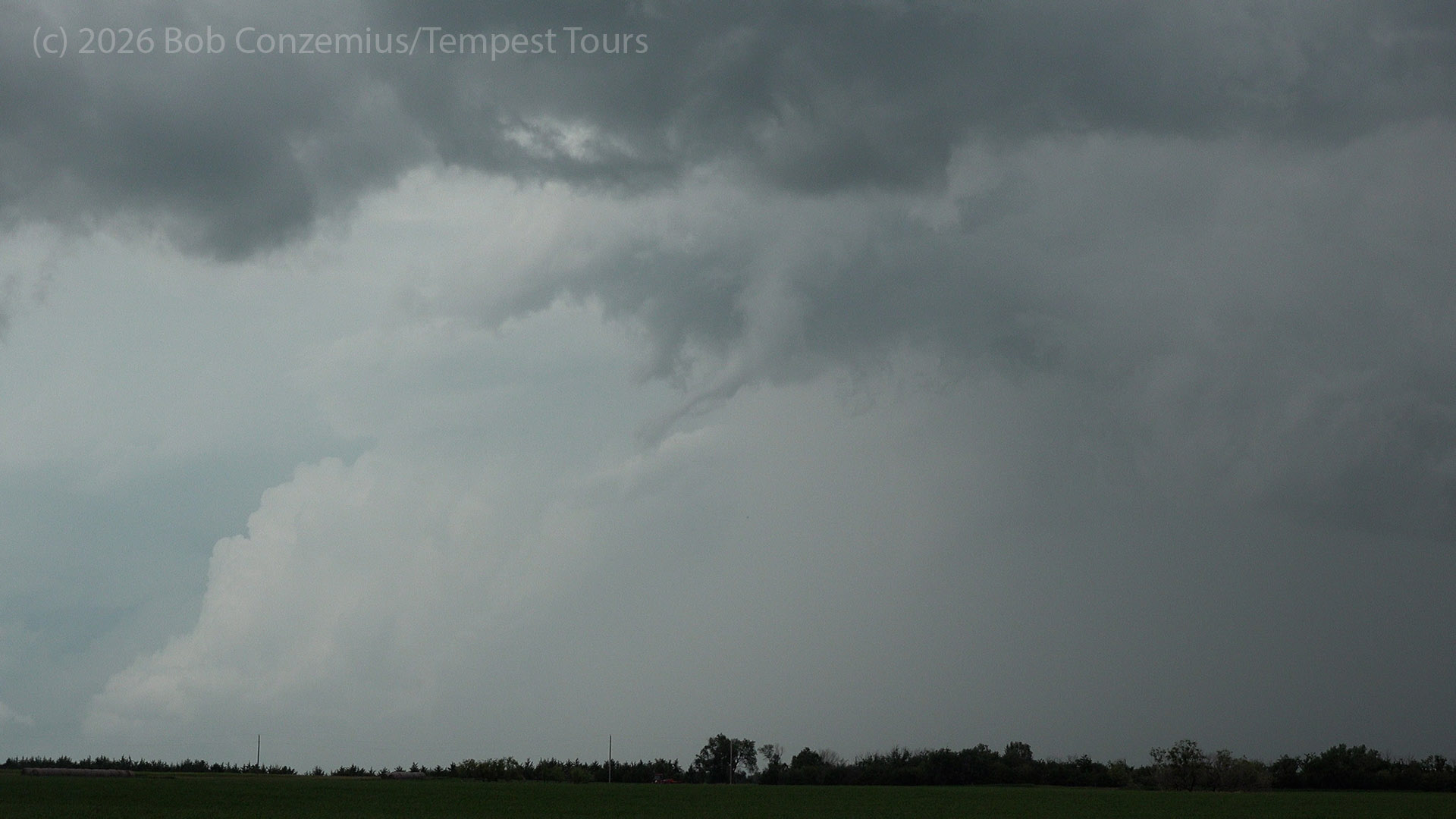
We continued our zig-zag northeastward on improved gravel roads, choosing only those roads we thought we provide us safe passage. There were some that looked a bit muddier, and we avoided those. As we came over a hill, a narrow tornado with full condensation to the ground developed. This one did not last long. By the time I got my phone out and took a picture, most of the condensation had disappeared. We continued northward and eastward.
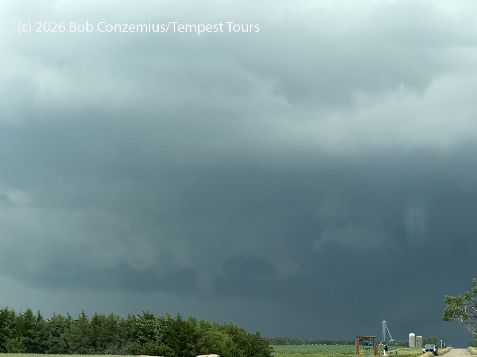
We stopped again to take some more pictures of the action area. Looking back at these pictures, I see a distinct funnel forming on the left side under the wall cloud. This could be either the beginning of our final tornado or a continuation of the previous one.
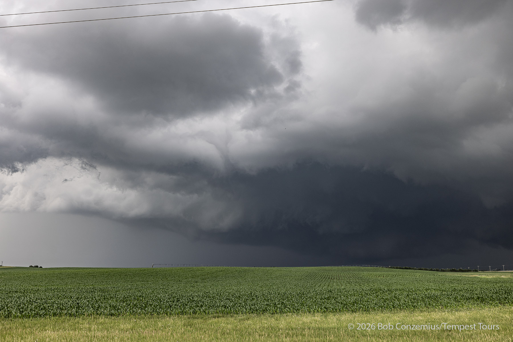
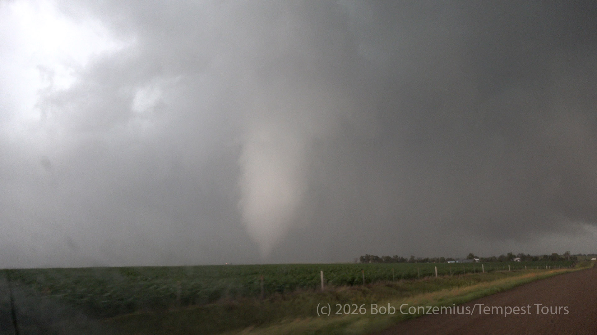
We turned north on 368th Avenue from 234th Street. I was focused on an area of rotation directly north of us, over the road. Soon we were blasted by another RFD and some rain. There must be something developing again. I kept my focus on the rotation to our north, waiting for a funnel to appear, but then I saw where the center of rotation really was. A white tornado appeared out of the rain to our northwest. It had been there in my previous video clip, hiting against the rain.
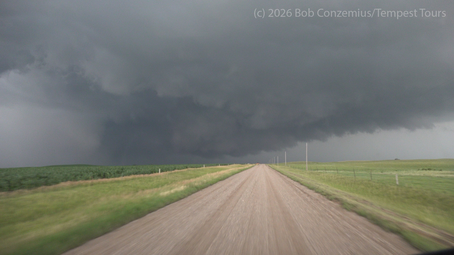
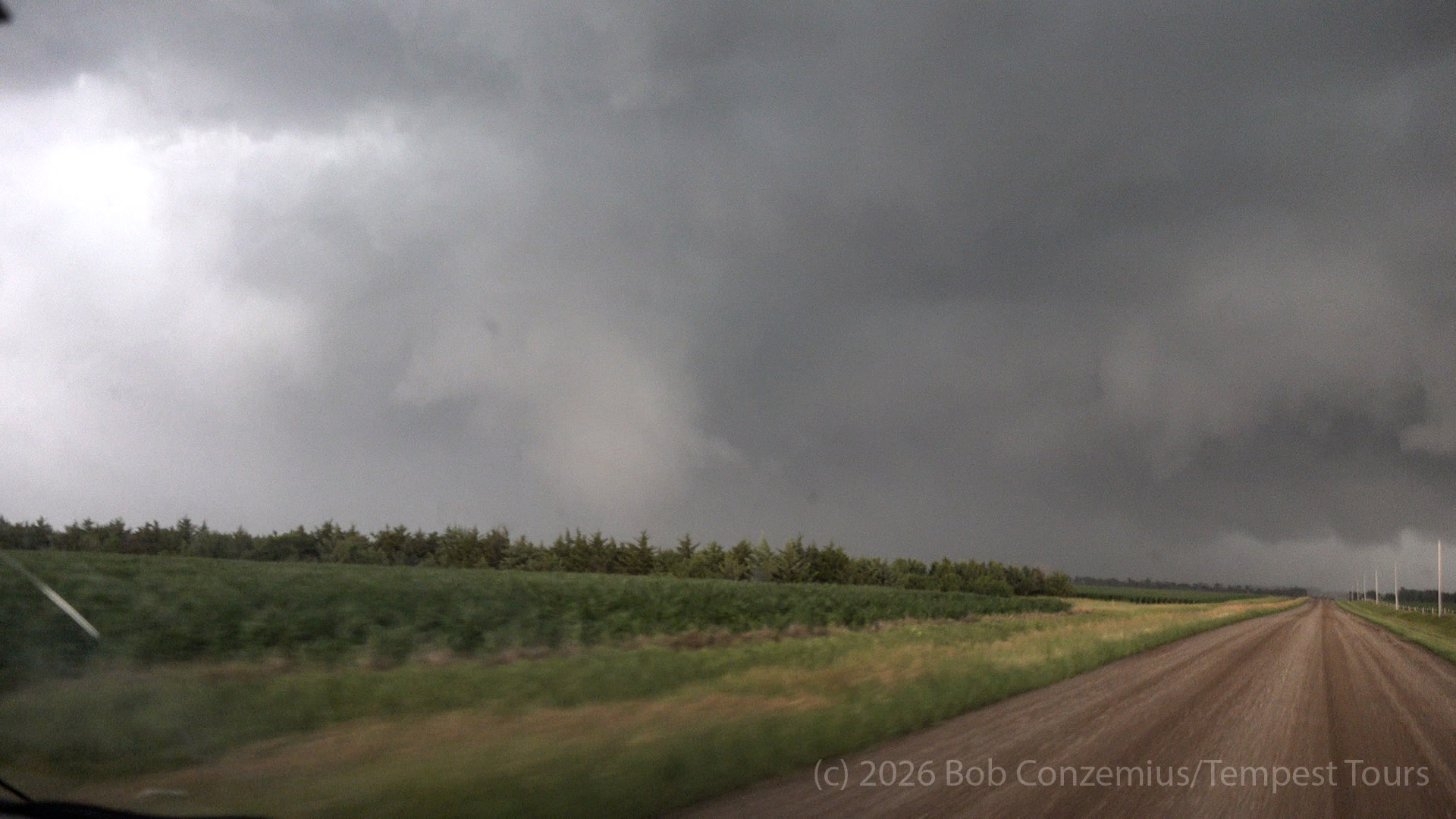
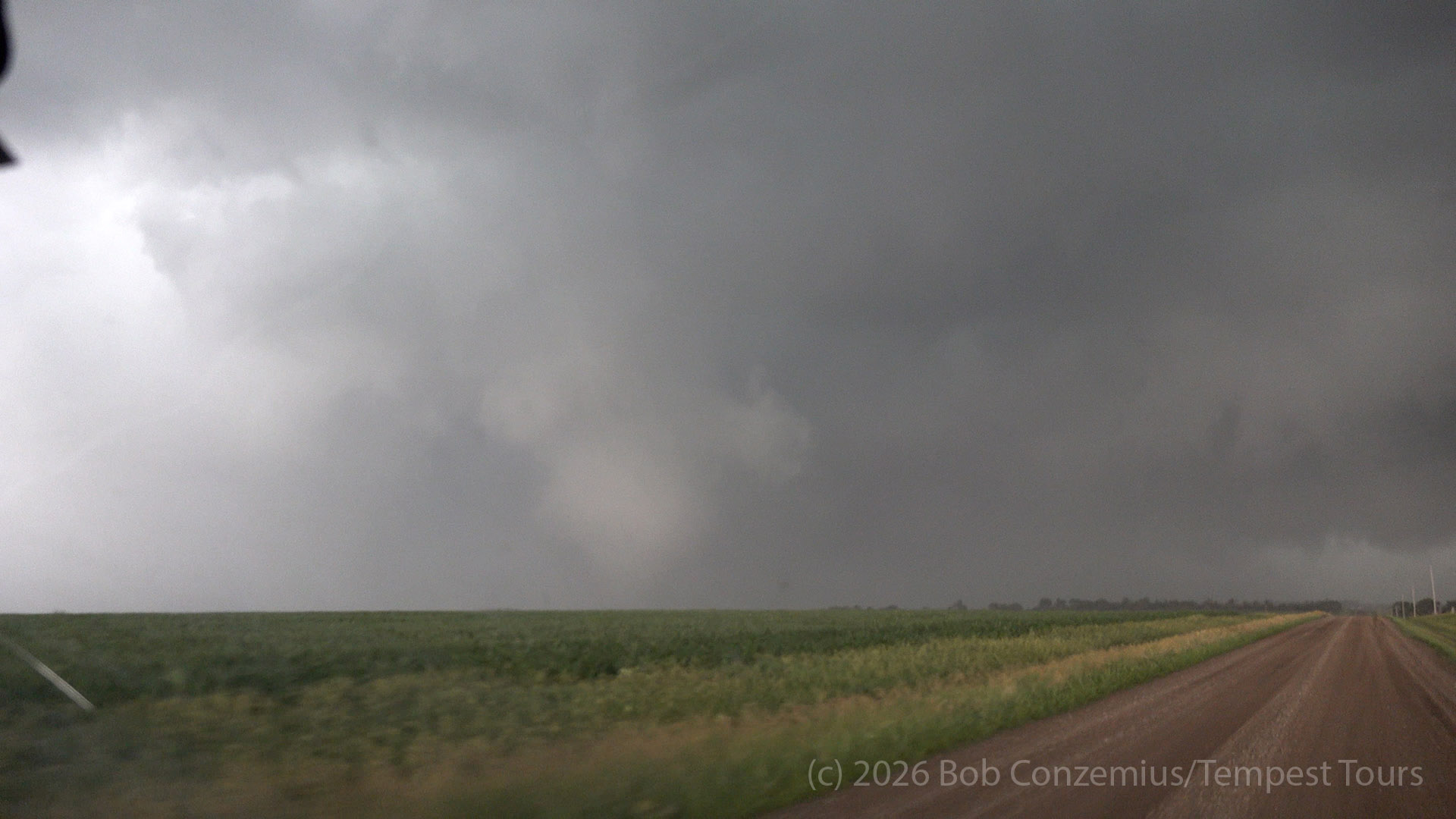
We drove north to get closer to it with the intention of getting better contrast so we could let the guests out of the van to take pictures of this tornado.
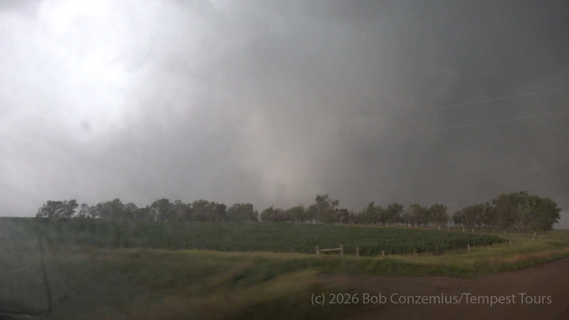
The view was now good enough, and the tornado was about to cross the road ahead of us, so I told Craig to stop now. I had to be assertive about telling the guests to get out of the van. There would not be a lot of time to take pictures. The tornado would likely either dissipate or move out of view rather quickly.
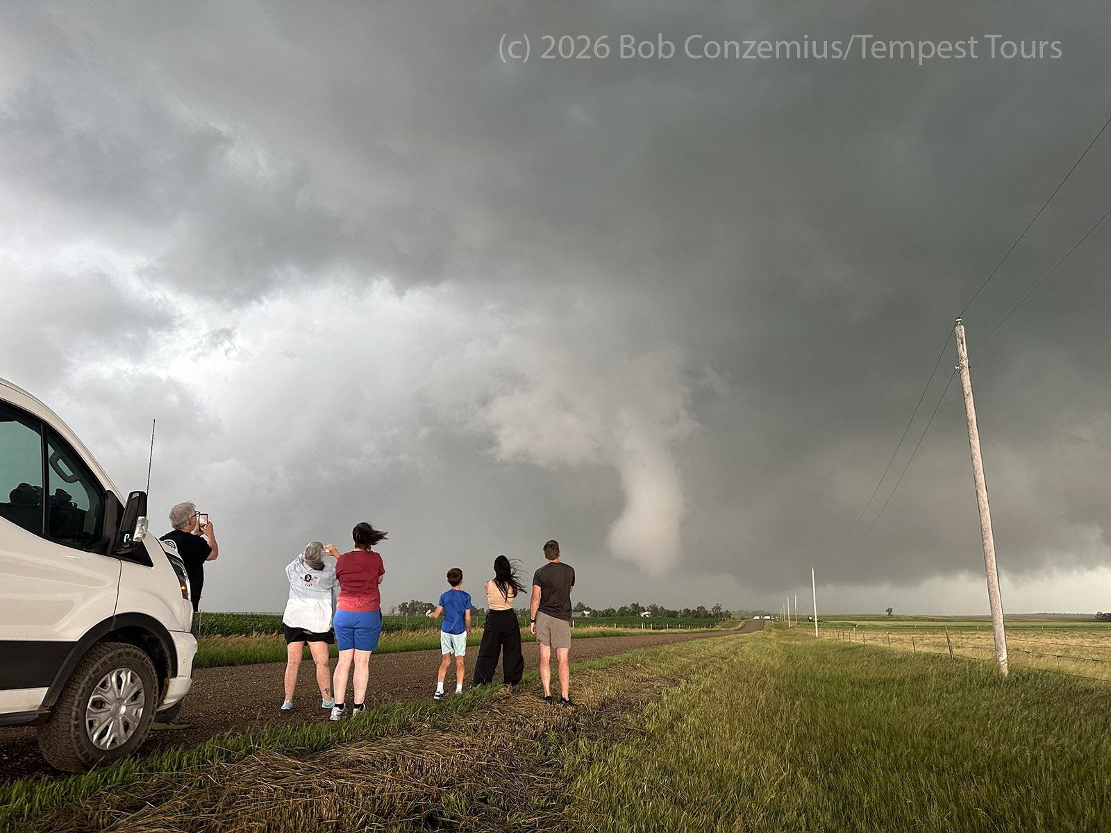
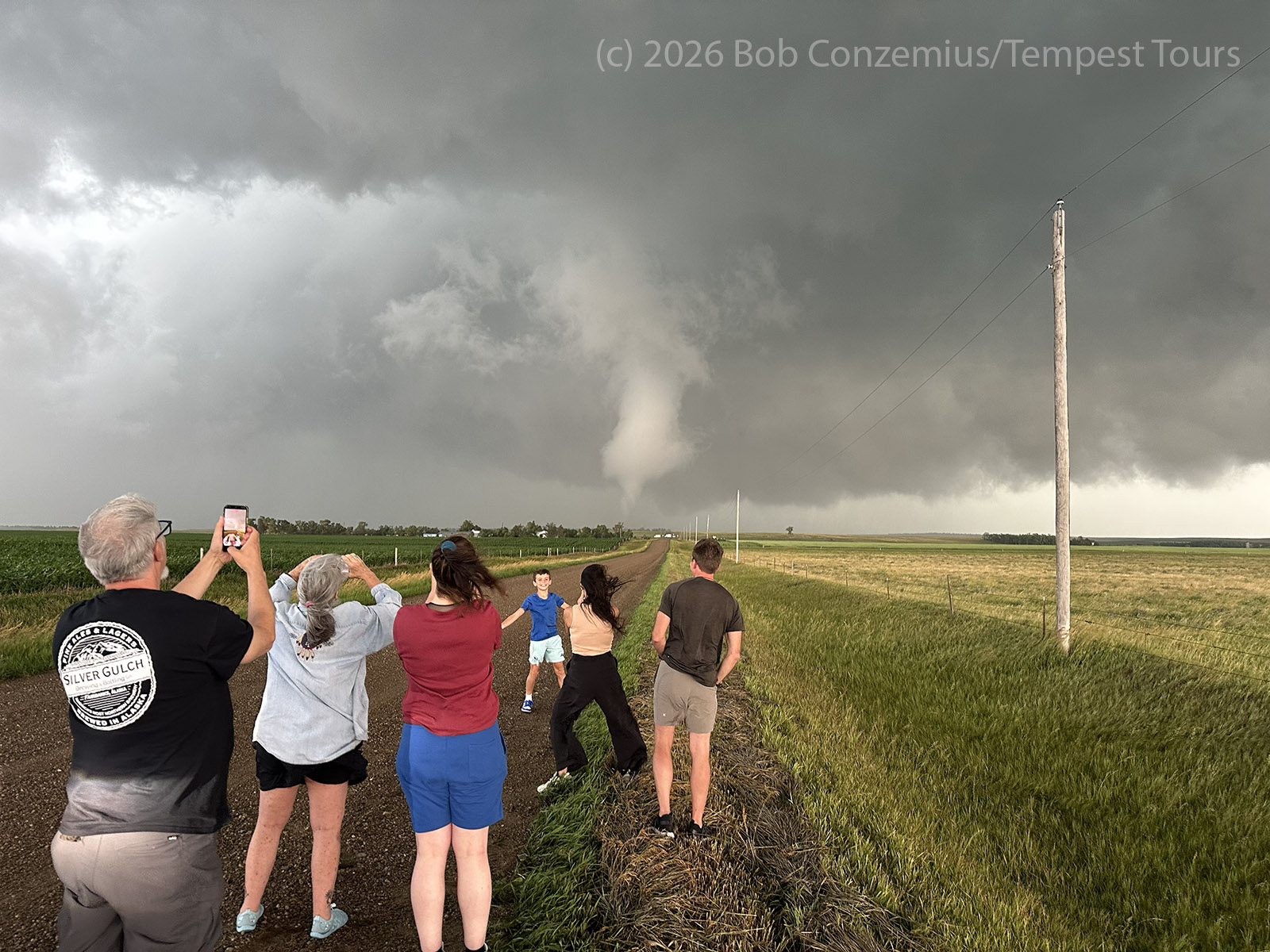
We enjoyed a good couple minutes with this tornado. Guests took pictures of each other, and I took a couple pictures of them to show that they were having a good time. The tornado roped out to our northeast, and we were on our way again.
Transition to an Outflow-Dominant Storm
We were now at the intersection of a paved road (state Highway 34). We drove a several miles east and then several miles north on 374th Avenue to get in front of the storm. Up to this point, the chase had mostly been from behind. I called for the guests to get out of the van here to take pictures, but we were quickly chased back in the van by a close cloud-to-ground lightning strike. After a couple minutes, there were no further strikes, so we got out again. I noted that the winds were from the northeast, and the air was a little cooler. We also had a shelf cloud developing to our south. The wall cloud still had some upward motion to it, and the cloud tags were getting pulled rather quickly up into it, but the atmosphere was developing more of a stable feel to it. Our tornado phase had ended. We started back southeast as new cells were firing to our south, and a line of storms was now forming. We drove through Wessington Springs, made a quick pit stop there, and continued east on Highway 34. We stopped again a few miles east of Wessington Springs and took pictures of a shelf cloud.
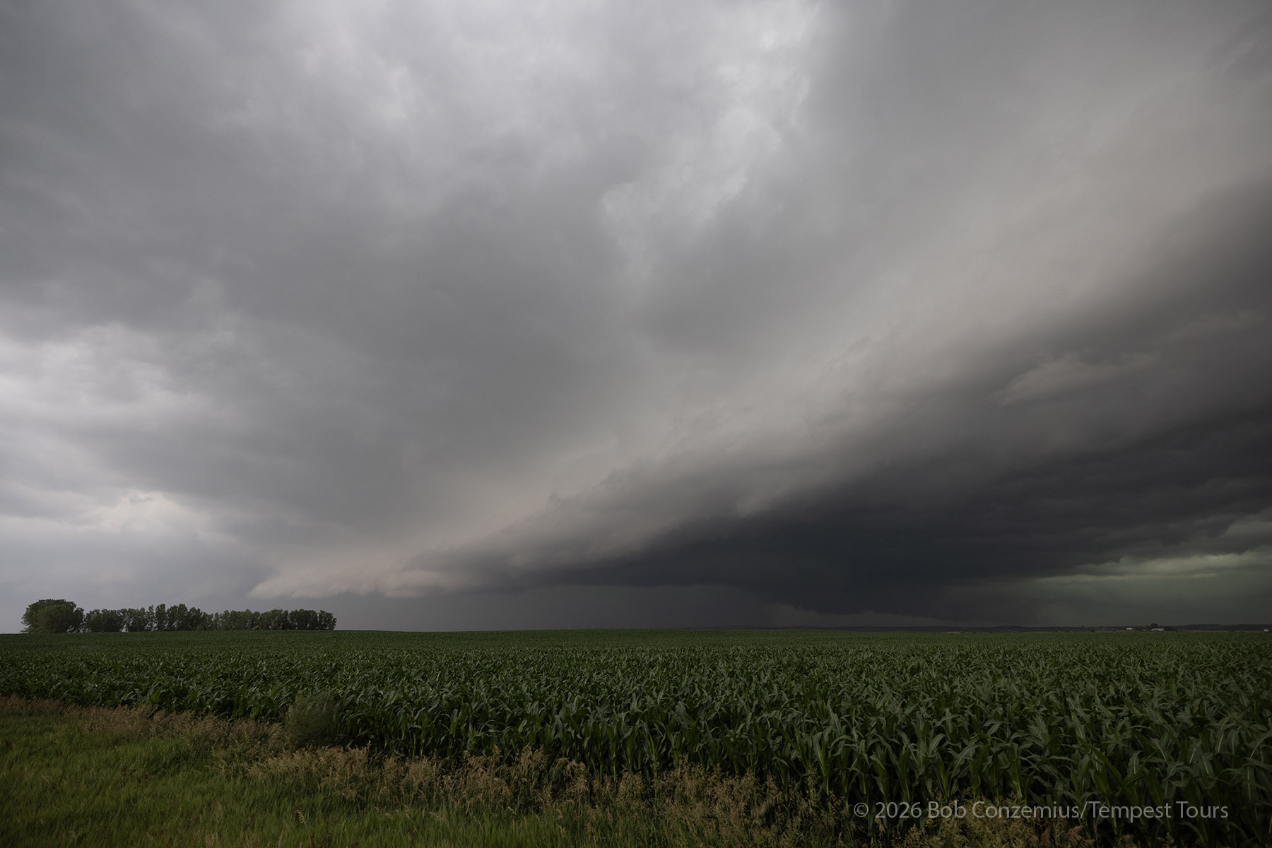
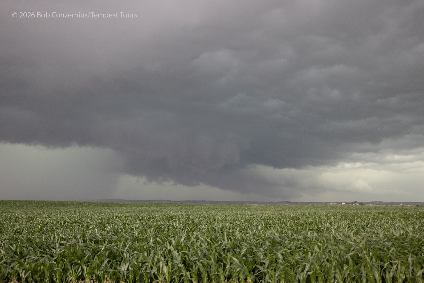
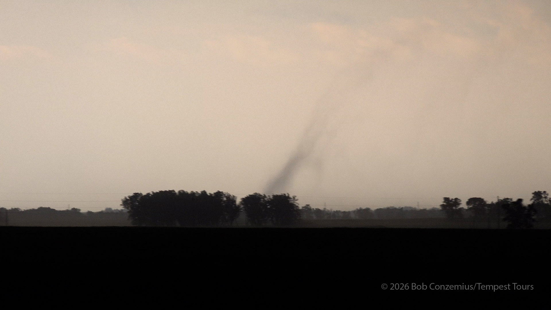
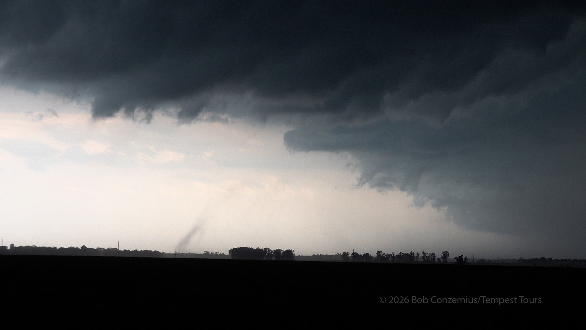
We continued east, and suddenly, a well-formed gustnado formed at the leading edge of the outflow to our south. I took some video of this gustnado, but we did not stop to view it. It did not last very long.
We drove farther east, through Woonsocket and several other very small towns. We were now being chased by the outflow, and we needed to keep moving or be swallowed by the storm.
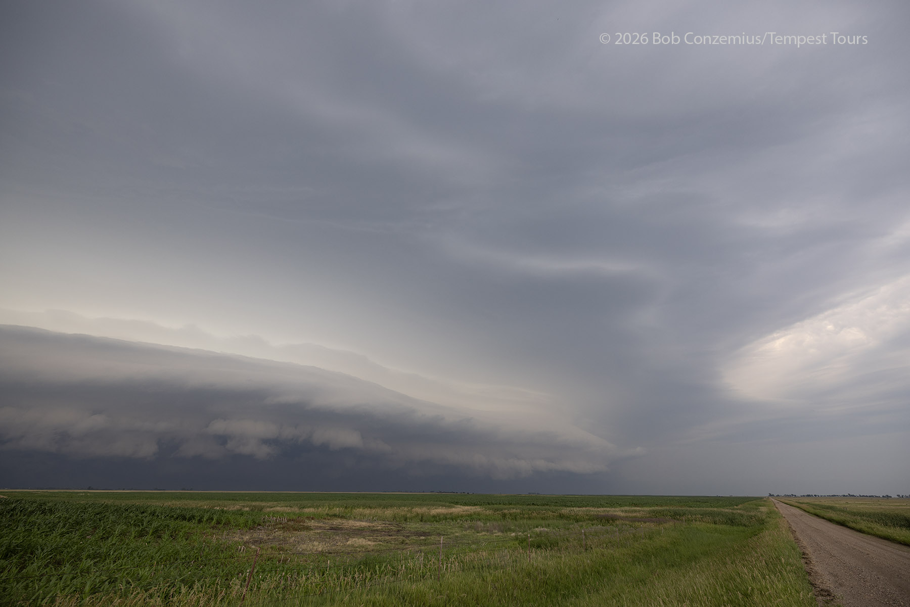
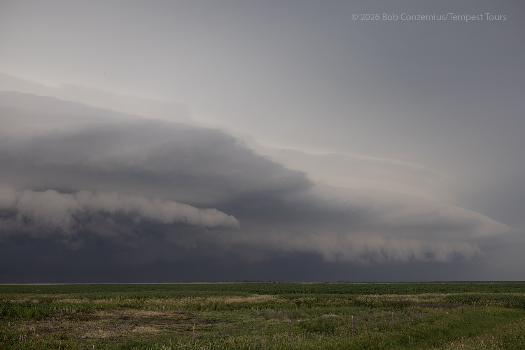
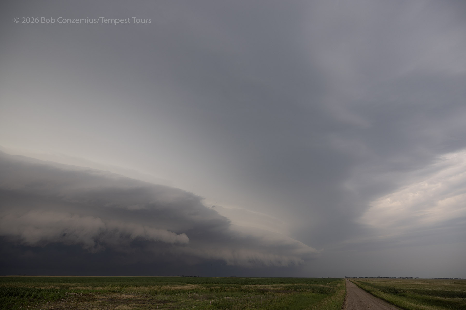
Near the small village of Roswell, we were far enough ahead, and the fastest part of the bow echo was now to our north, so we an opportunity to drive south to I-90 and begin our search for hotel rooms. This was really very early to quit (only around 5:00 PM), but we had had a pretty full chase.
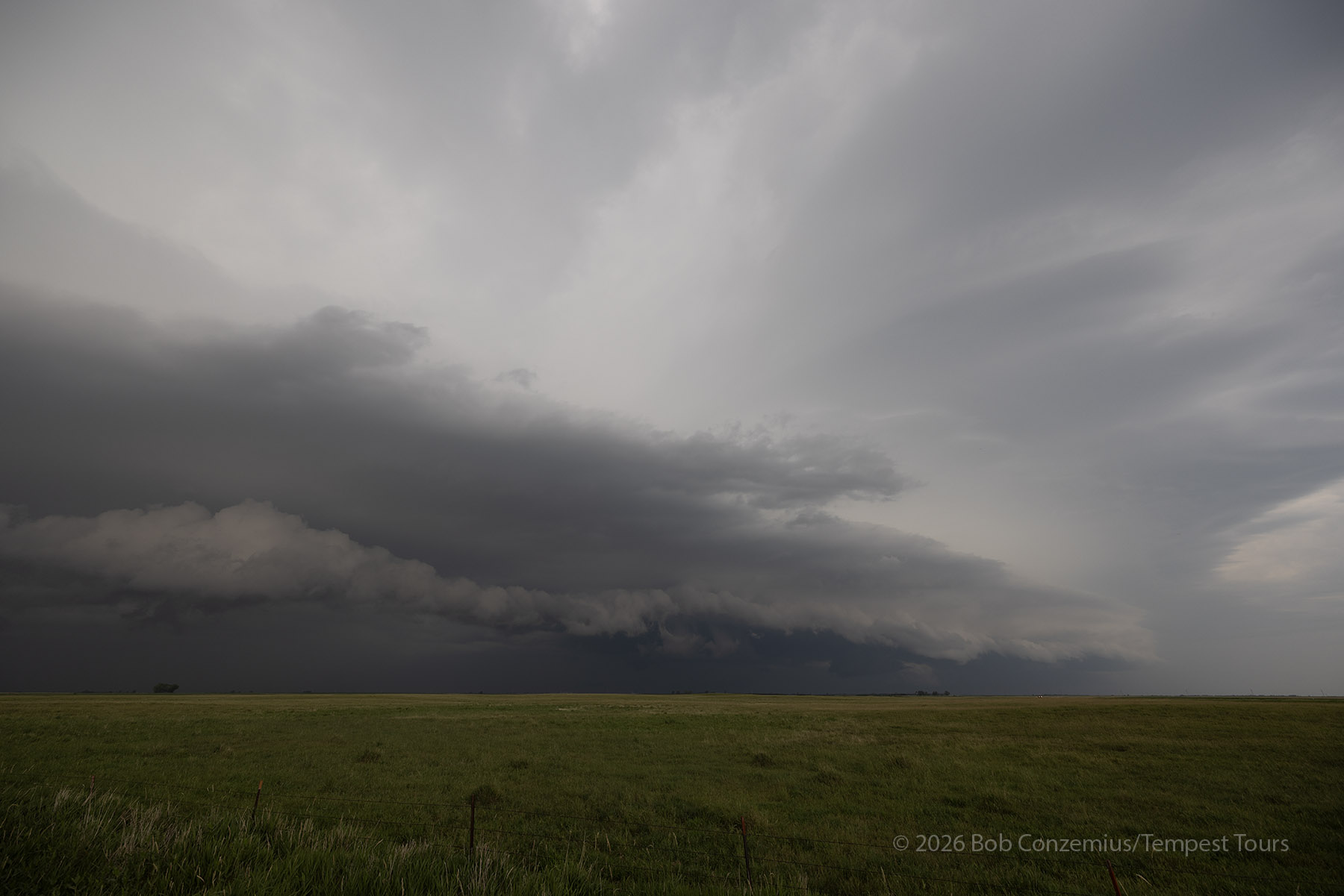
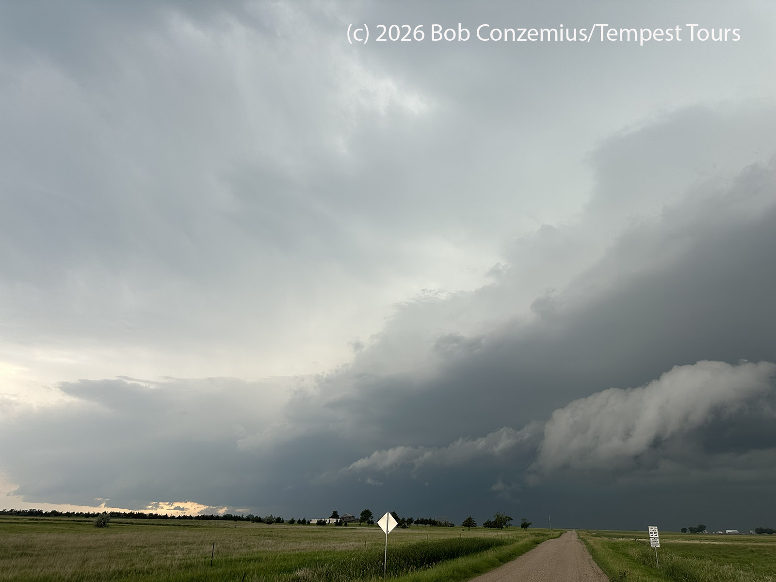
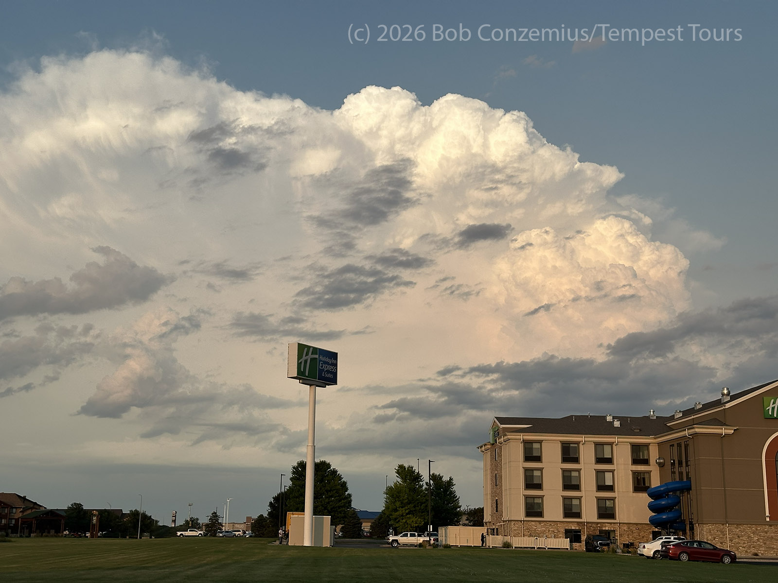
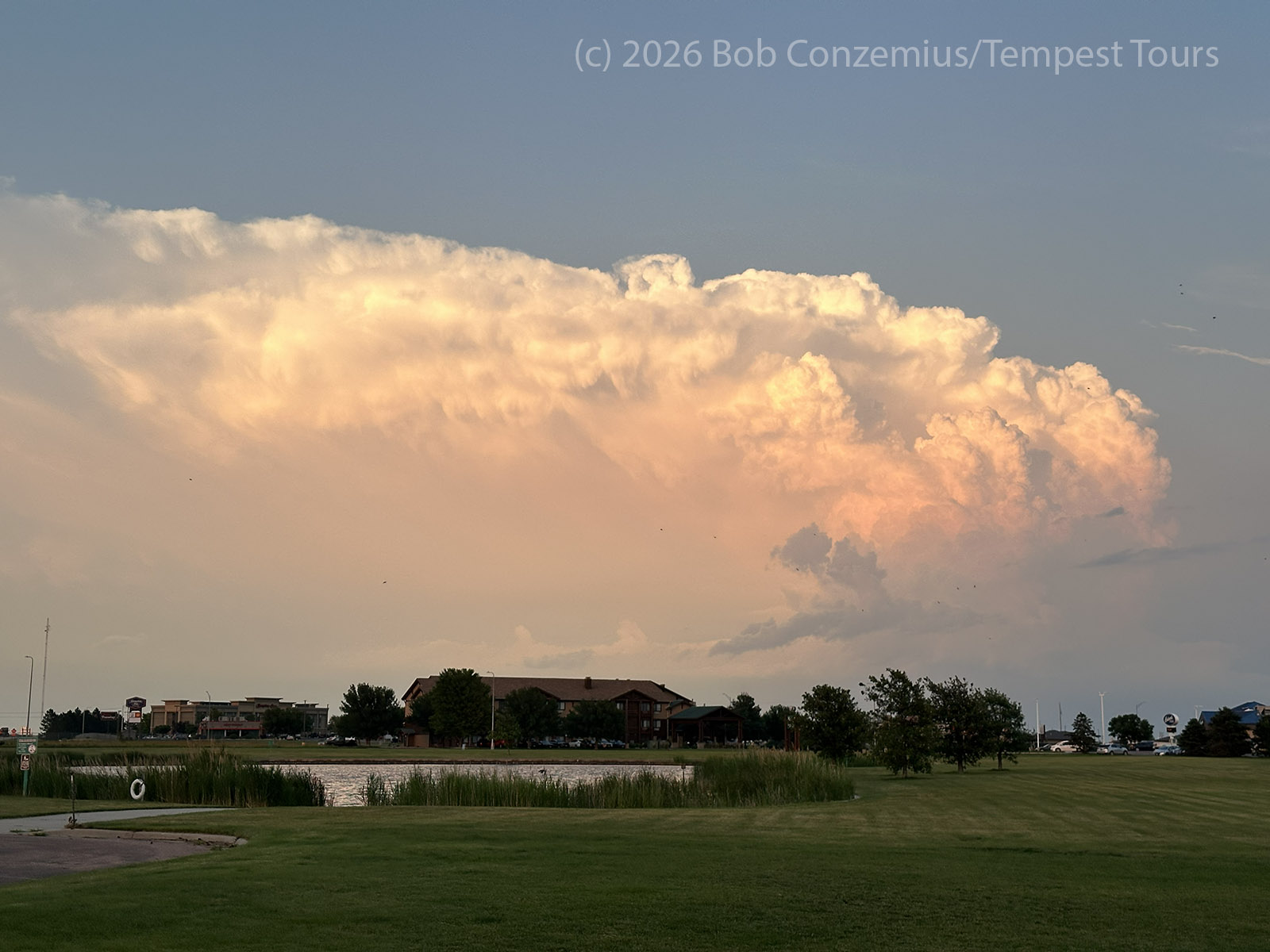
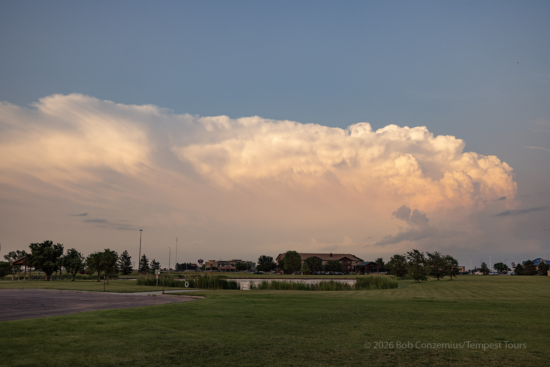
As we continued south on South Dakota Highway 25, we stopped a couple times to take shelf cloud pictures. When we got to our hotel in Mitchell, we checked in then walked over to a Sushi restaurant nearby. When we finished supper and walked back outside, a new storm had formed to the east. I grabbed a few stills of this storm, which was colorfully illuminated by the sunset.
Wrap-up
This might be my favorite chase of 2026. It started with modest expectations and ramped up quickly in the early afternoon. Once the storms developed, the target became clear, and there was no deliberation needed over which storm to intercept. The shear was not particularly strong, and we put our bets on a narrow ribbon of high dewpoints along an outflow boundary. This bet paid off. Even when the storm became outflow-dominant, there were dramatic shelf clouds to observe.