The Setup
The Storm Prediction Center had an enhanced severe weather outlook for parts of northern Iowa, southeastern Minnesota, and Wisconsin along a nearly stationary from that was to be the focus of storm development in the afternoon and evening hours. Dewpoints south of this front were well into the 70s Fahrenheit, approaching 80 in places. The cap was relatively weak in most places, but the lift also looked pretty weak. The frontal boundary was fairly diffuse.
My initial idea was not to move much from our starting location in Austin, Minnesota. Some morning storms were moving through the area, and they would put down a nice outflow boundary that could enhance shear and provide focus for initiation of storms later in the day. It looked like it could be a decent chase with high CAPE (much of it at low-levels) providing a decent shot at a tornado today. We would start by taking a tour of the SPAM museum in Austin, then eat lunch, and by the time we finished lunch, a more precise target would hopefully reveal itself.
The Chase
At the end of the SPAM tour, there were were still storms in northern Iowa, so I decided to take the group down to Clear Lake, and we at lunch there at the Lakeside Landing Kitchen and Bar on Clear Lake. It had sort of a tiki bar theme going. The food was great! During our time there, showers continued to move up from the west-southwest. When we got out, it looked like most of central Iowa was socked in with mid-level clouds, and I didn't think there would be enough heating during the remainder of the afternoon to destabilize the atmosphere much. We killed a little time around Clear Lake for a bit, but I eventually decided that it would be best to move to western Iowa, where there was more sunshine. This took us away from the highest tornado risk area that SPC had outlined, but the temperature and dewpoints were just as good in western Iowa.
We dropped south to U.S. 20 and drove west through Fort Dodge toward Sioux City. As we drove westward, the first boundary layer cumulus appeared, and they got larger the closer we got to Sioux City. We made a pit stop at Sioux City. Satellite loops showed bubbling cumulus along a diffuse west-southwest to east-northeast line from eastern Nebraska across northwestern Iowa into far southern Minnesota.
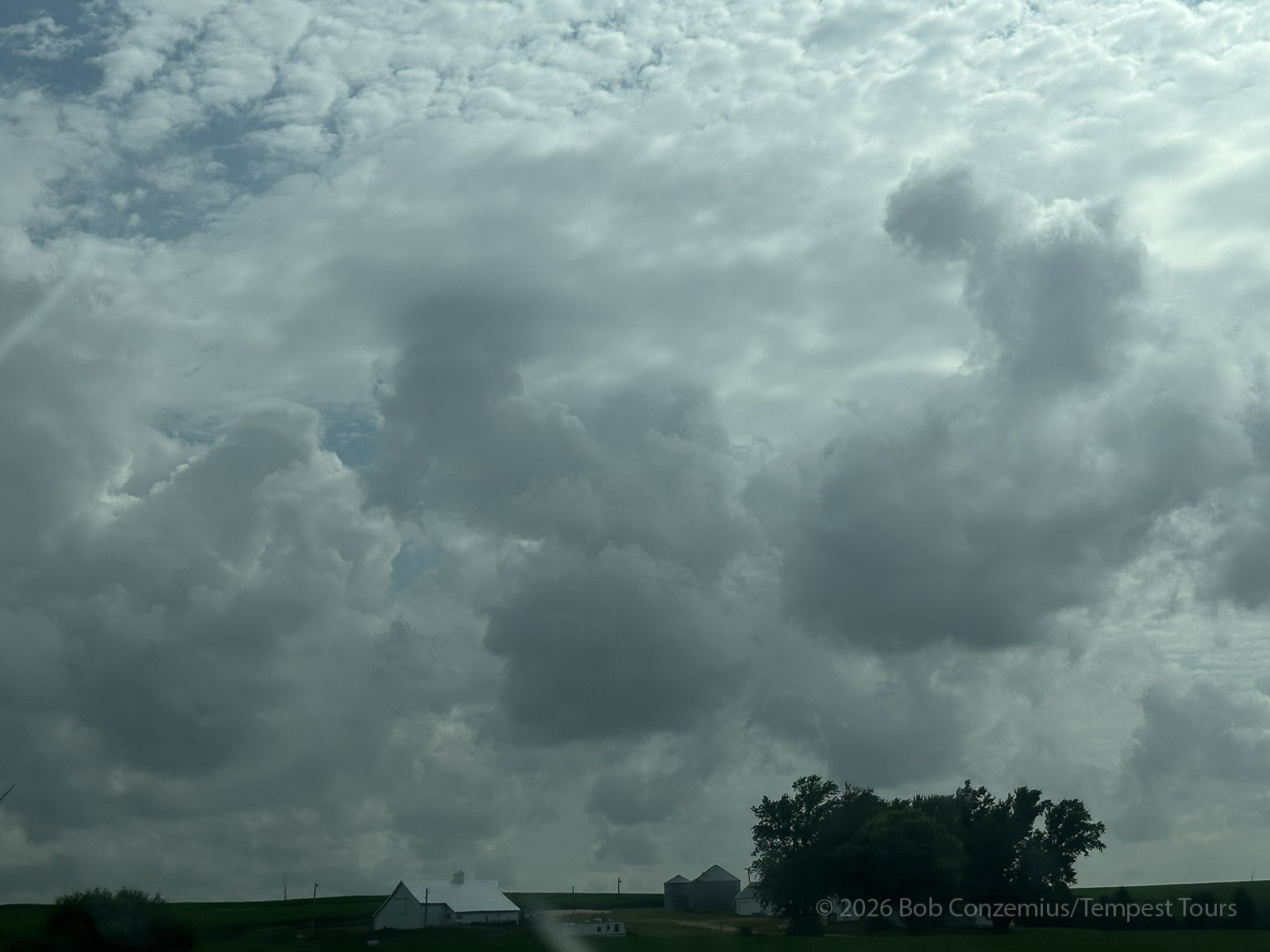
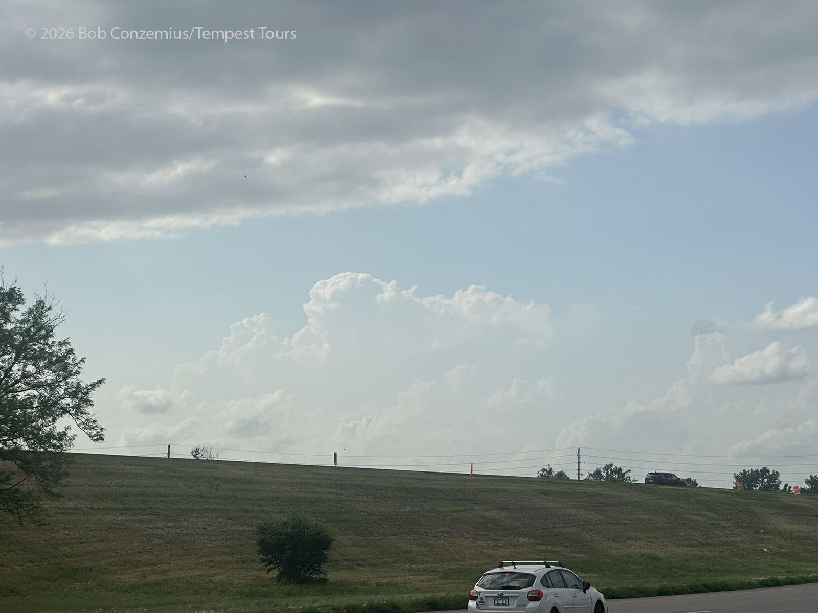
The band of clouds that I had feared would prevent destabilization in northern Iowa had mostly dissipated or moved eastward, making our departure from that area somewhat unnecessary. However, given that we generally needed to be moving westward during the remainder of the tour, our move was not detrimental. In Sioux City, we saw a couple areas of congestus, ripe for thunderstorm development. One was to our southeast, a little closer to Omaha. This would be a little tougher to intercept, but it was also moving northward, closer to us. The other was to the north-northwest and appeared to be closer to the area where I thought lift would be better along the front.
The Storm
We drove northwest out of Sioux City and parked for a bit between Junction City and Elk Point to wait for an area of more robust convective development to reveal itself. It turned out I preferred going north (more on that later). The southern target looked a little beefier, and the cumulus clouds looked more unstable than the ones to the north (there appeared to be a stable layer of clouds along the northern target), but I went north anyway. Perhaps the frustration of trying to intercept storms to the south that become tornadic and make a right turn is what influenced me to chase north, but maybe that's also where I decided storms would be more persistent.
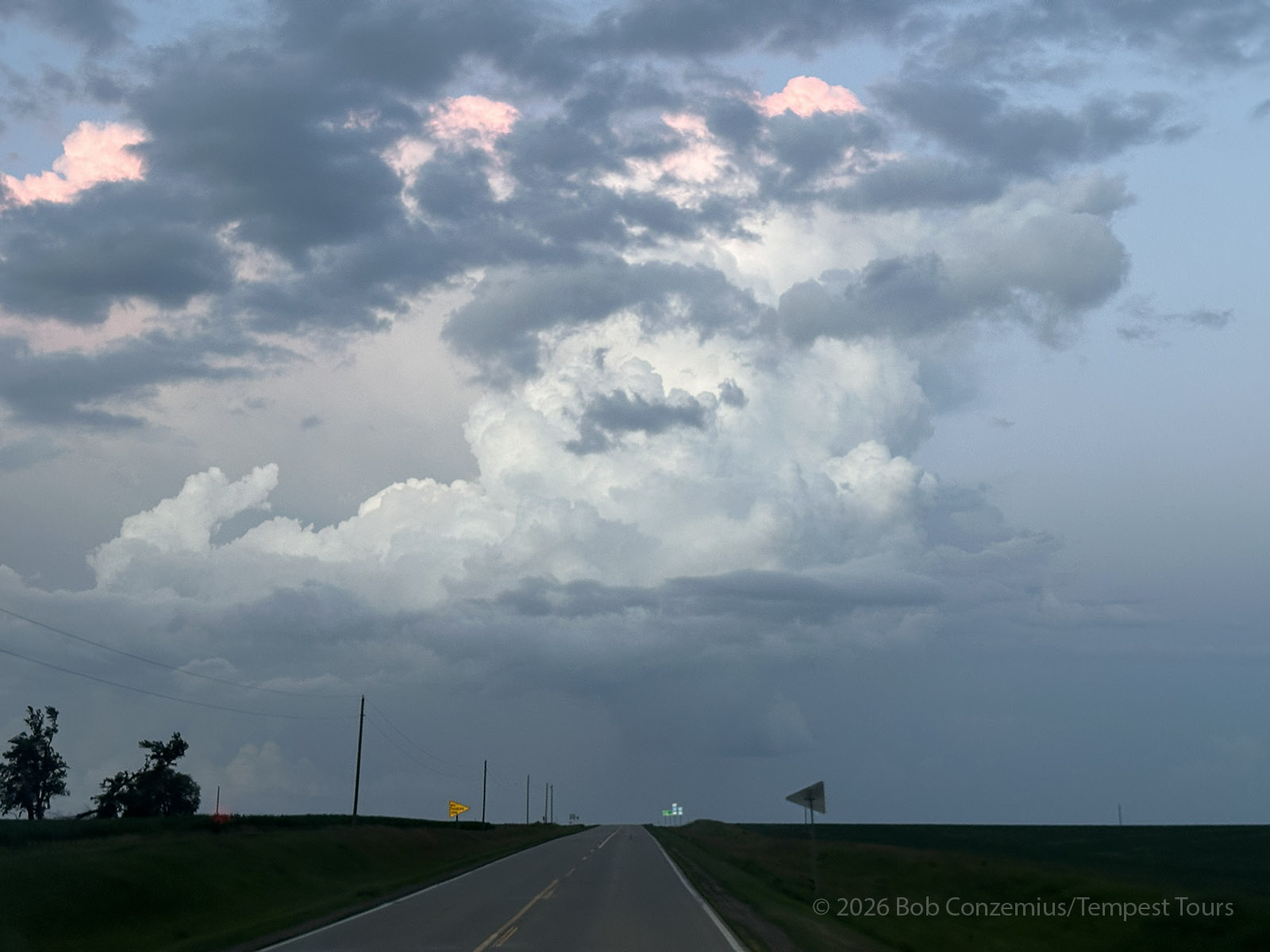
The towers to the north became larger and eventually grew into thunderstorms. We got on the storm near Hawarden and spent some time admiring it. It was not very intense, but there was thunder, and it was moving pretty slowly, creating a rather peaceful scene. This chase was turning out to be more calm and scenic than intense. We deployed a couple times on it and ended up just north of Ireton, Iowa
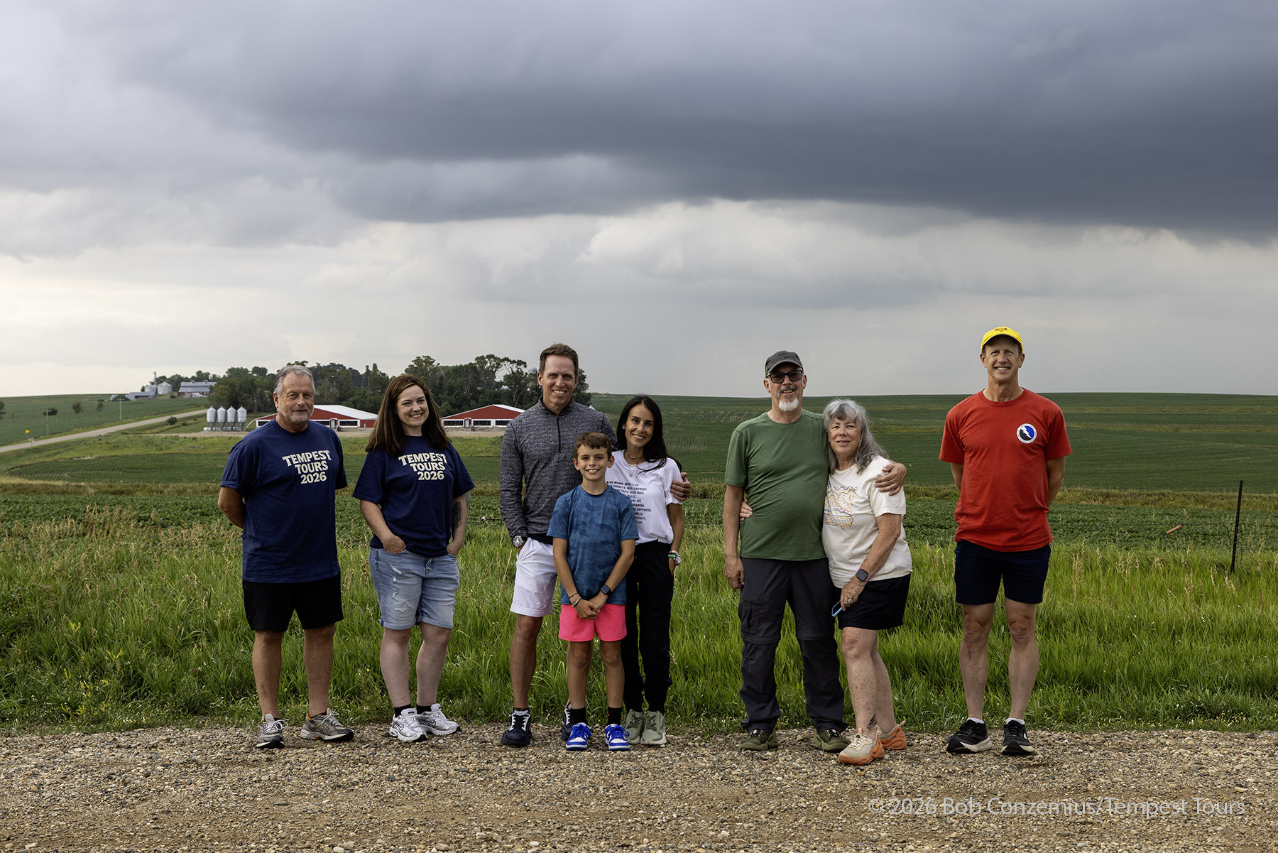
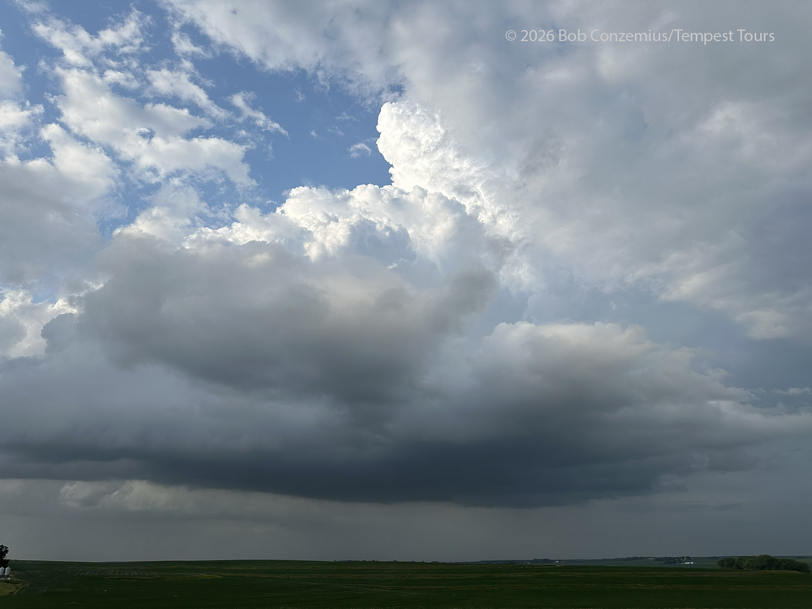
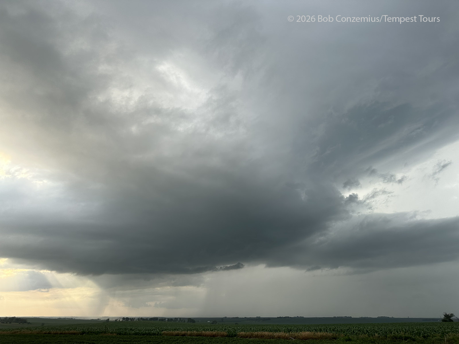
While at our second deployment, I learned that the convection that had been to the southeast of us when we were in Sioux City was now tornado-warned with a confirmed tornado near Oto, IA. Also, there were tornado reports coming out of northeastern Iowa, quite close to our starting city of Austin, MN. This made me a bit disappointed, and I had a momentary urge to bail southward to Oto immediately, but we still had an active storm, and it usually doesn't make sense to run between storms. It takes storm time away, and we already were enjoying a storm that was not greatly different in intensity from the one that had just produced the tornado. I said, "Let's go south!" Then, I held up.
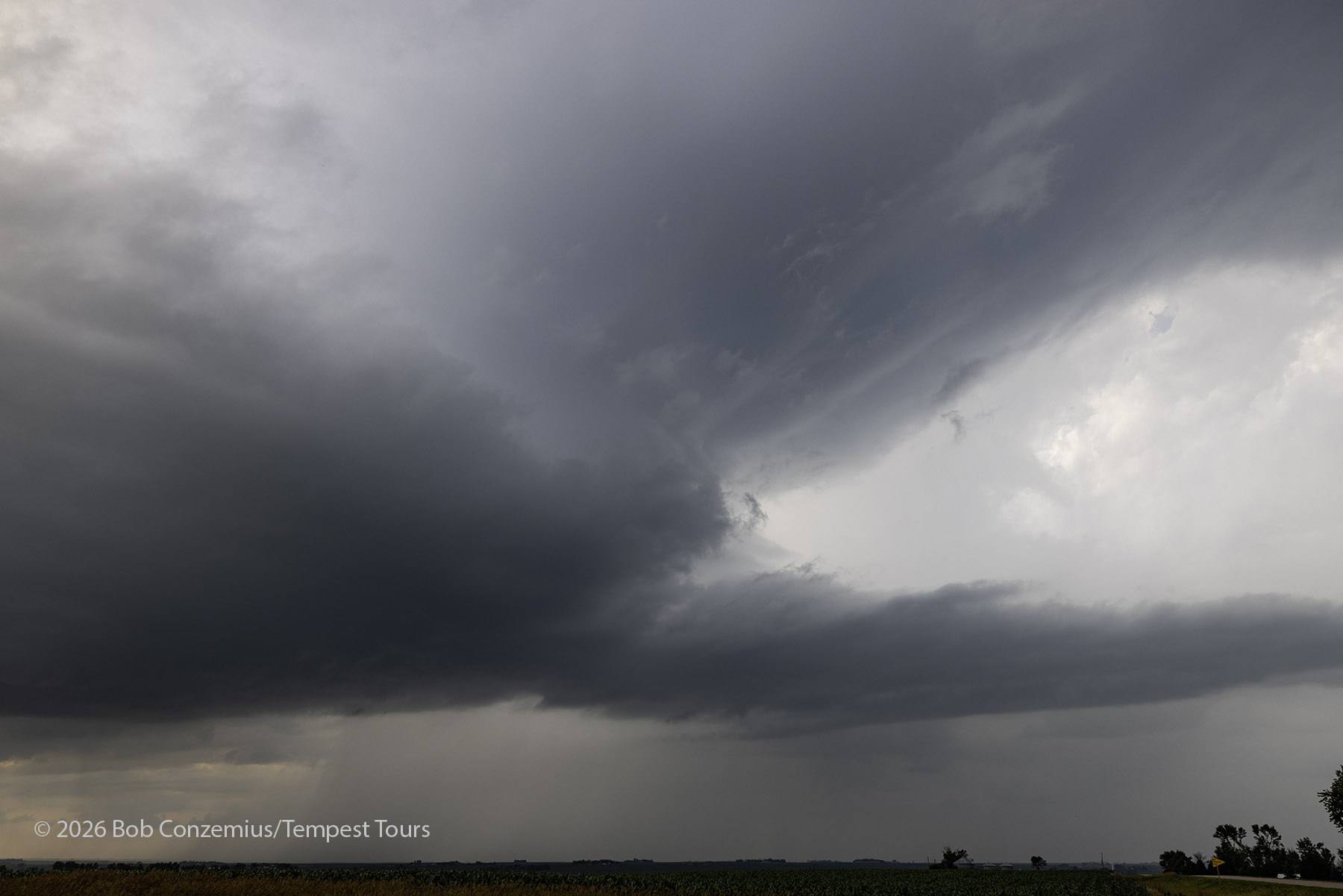
Our storm began to weaken. There was less and less thunder, and the cloud base was becoming smaller. I again looked southward. Maybe it was time to move.
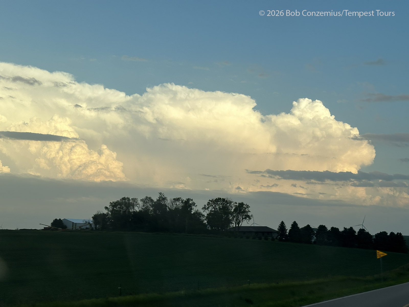
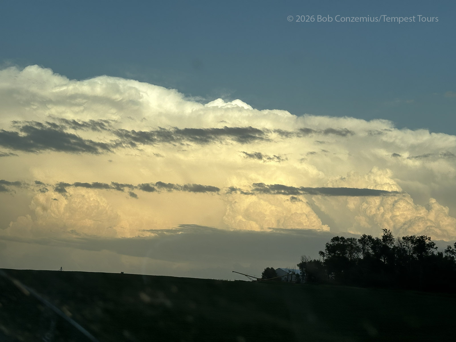
I figured that, given the relatively weak storms and the diffuse nature of the frontal boundary, that the tornado-producing storm would not be producing many tornadoes. It was probably one and done. This storm split, and the northern (left) split became severe-warned, and the tornado warning was dropped from the southern storm as it, like our earlier storm, began to shrink. We drove back down to U.S. 20, where this southern storm was now located (near Correctionville), and snapped a couple pictures of it. It had a small wall cloud, but it was not very strong. Perhaps it was also not so strong when it produced a tornado (which, it turns out, was rated EF0). Given that sunset was now past, it was getting dark, and our final storm was now dissipating, we decided to head back to the hotel in Sioux City.
Wrap-up
My decision, earlier in the day, to go to western Iowa rather than staying in north-central Iowa, proved to be unnecessary, but from the video I've seen, the Oto tornado was better than the one in northeastern Iowa (near Stacyville). The Oto tornado had full condensation to ground level and had better lighting, so I guess the decision to move west was, overall, a good one (plus we were generally on a westward itinerary anyway).
The only part of this day I would take back is the decision on which storm to chase from Sioux City. As far as that goes, it's tougher to decide when the boundary is diffuse, and there are no storms exploding (this part would be easier tomorrow), and so a lot of the outcome seems to be due to random chance based on factors we really cannot measure. The dewpoints looked similarly large in both areas, but maybe they were a degree or two higher to the south. However, I will keep the stratiform versus cumuloform look of the two areas in the satellite loop in my memory. A more cumuloform look, and perhaps, more low-level CAPE in the southern area might have been the deciding factor.